Antique Map of Eastern Turkey, Caucasus, Israel through Iraq and part of Arabia
€ 460
Original antique · The actual sheet photographed · Certificate of authenticity on request · Sold unframed · Worldwide shipping from € 15 (rates)
Sheet size
40.5 × 49.5 cm (15.9 × 19.5 in)
Condition
Fair
Reference
BG-13498-2
What the condition grades mean
Excellent
Bright and clean, with no faults worth mentioning.
Very good
Only light signs of age, such as faint toning.
Good
Normal signs of age for a sheet of this period: toning, some foxing, small marks or neat old repairs.
Fair
Clear faults such as staining, tears or repairs, priced to match.
Every fault we see is written in the condition note, and the whole sheet is shown uncropped in the photos.
Condition
Original/contemporary hand coloring. Original folding line with splits. Age-related toning. Shows wear and creasing. Few tears in margins. Blank verso. Please review the images for further condition details.
About this sheet
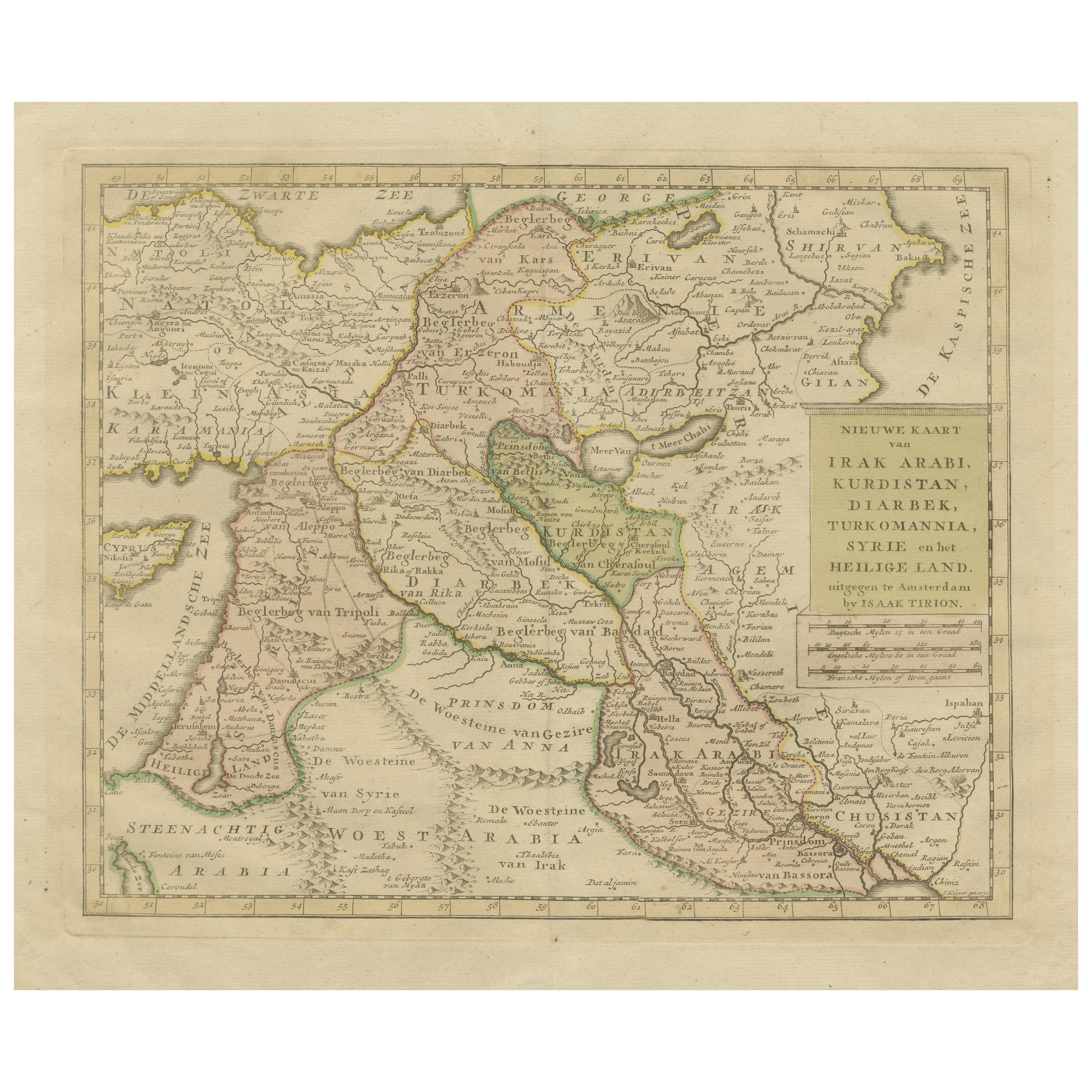
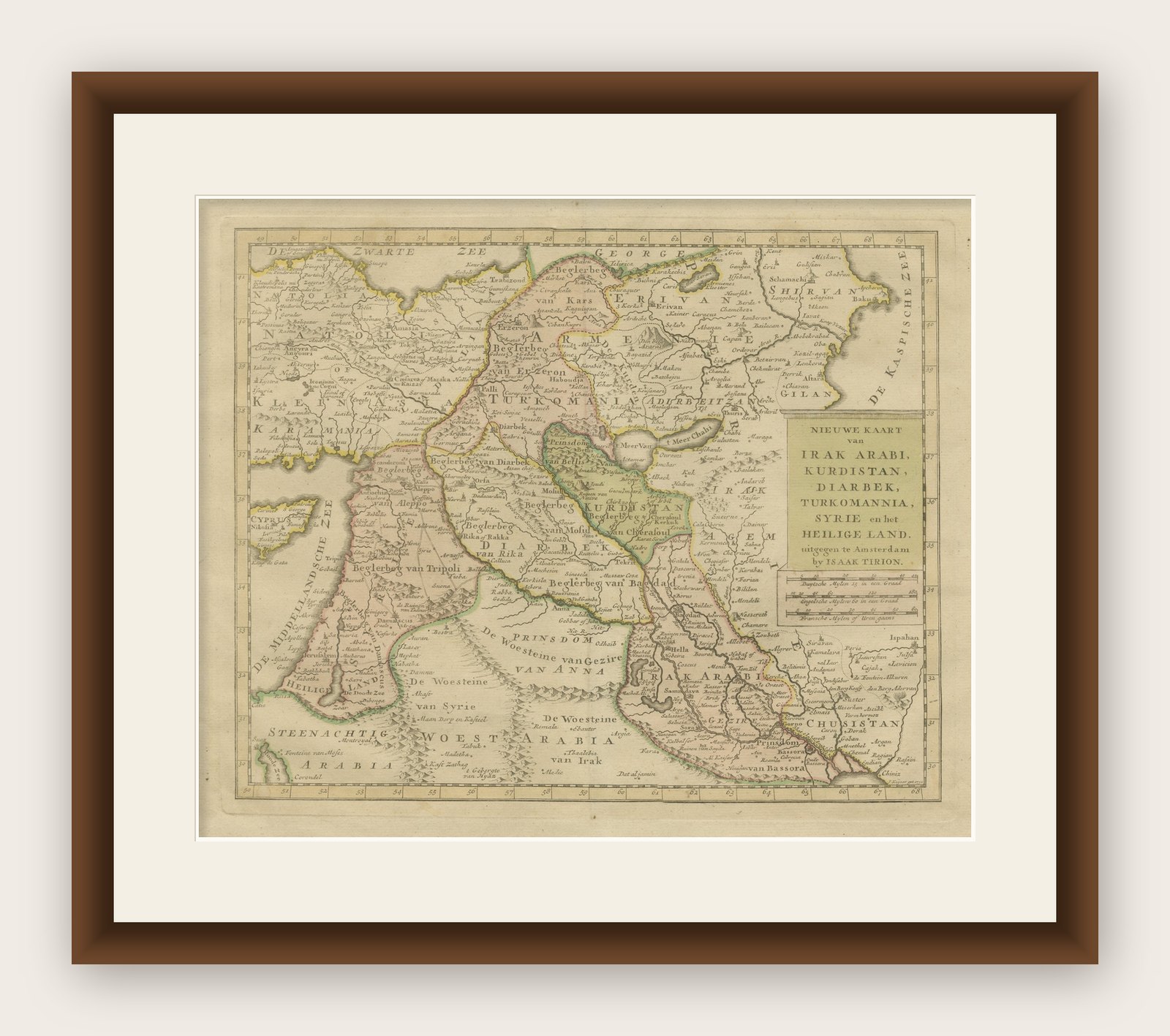
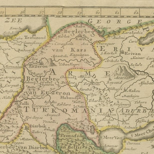
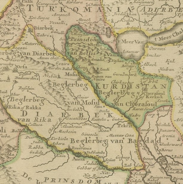
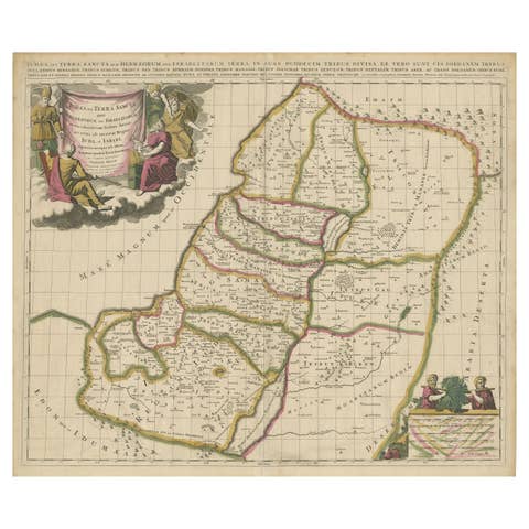
Antique map titled 'Nieuwe Kaart van Irak Arabia, Kurdistan, Diarbek, Turkomannia, Syrie en het Heilige Land'. Beautiful map including eastern Turkey, the Caucasus, Israel through Iraq, with a part of Arabia. From the Black to the Caspian Seas and from the Mediterranean to the Persian Gulf, the area extends south into the Arabian Desert and locates Cyprus, Baghdad, Damascus, Baku, and many more cities in the region. Today's Iraq is made up of several named regions including Irakarabi, Irak Arabi, Turcomania and Kurdistan to name a few. A fascinating map that will reward further study. Typical for Tirion, the title is a simple block-style cartouche with three distance scales below. Engraved by J. Keyser. Published by I. Tirion, 1732.
Tirion was born in Utrecht in 1705. He moved to Amsterdam in 1725 and set up shop on Damrak as a book publisher. Tirion quick rose in prominence by publishing pamphlets, historical works, and, most importantly, maps and atlases. He eventually relocated his printing house to the prestigious Kalverstraat. In his long career he produced eight atlases in multiple editions, some of which were published posthumously until about 1784. Most of his cartographic work is based on the earlier maps of Guillaume de L'Isle.