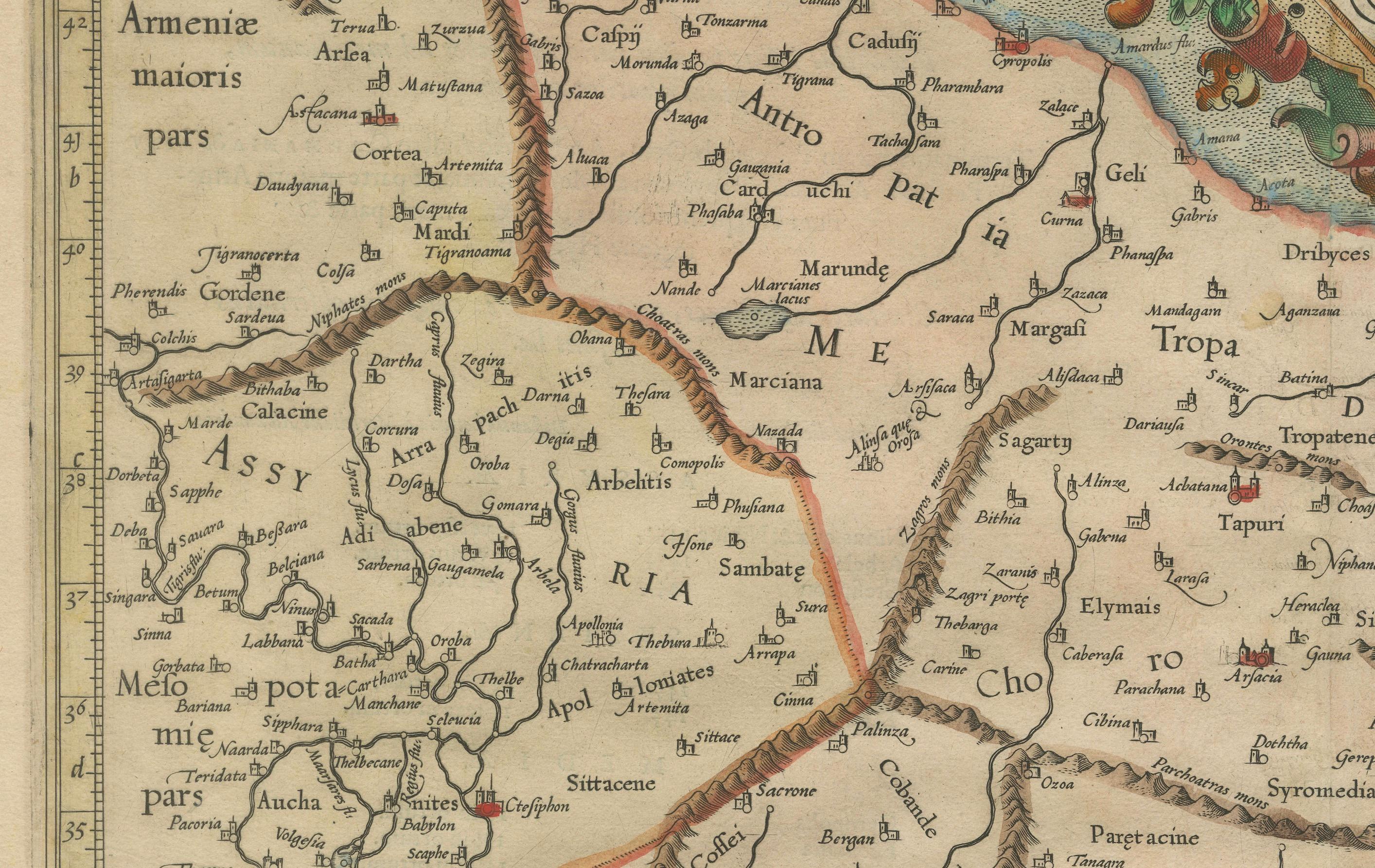
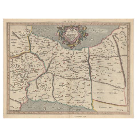
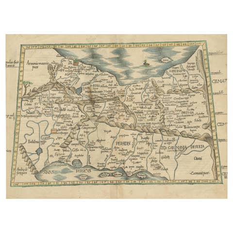
Mercator's Ptolemaic Map of Ancient Assyria, Media, and Persia
€ 1 140
One of a kind: this is the sheet in the photographs. Ships from Langweer, the Netherlands.
Sheet size
39 × 53 cm (15.4 × 20.9 in)
Reference
BG-13709
Condition
good, given age. General age-related toning and/or occasional minor defects from handling. A few minor water-stains along the border. Vertical folding line as published. Please study scans carefully.
About this sheet
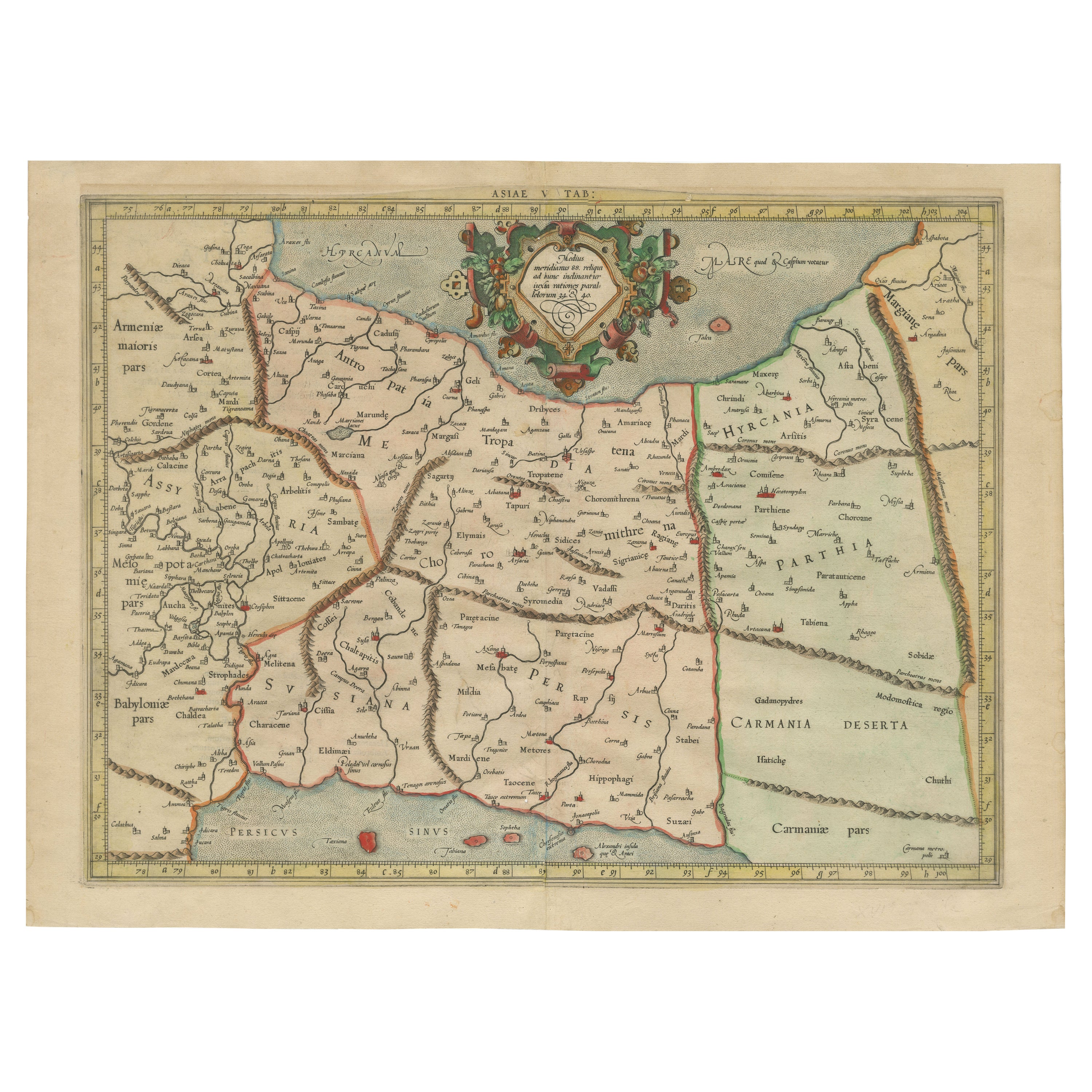
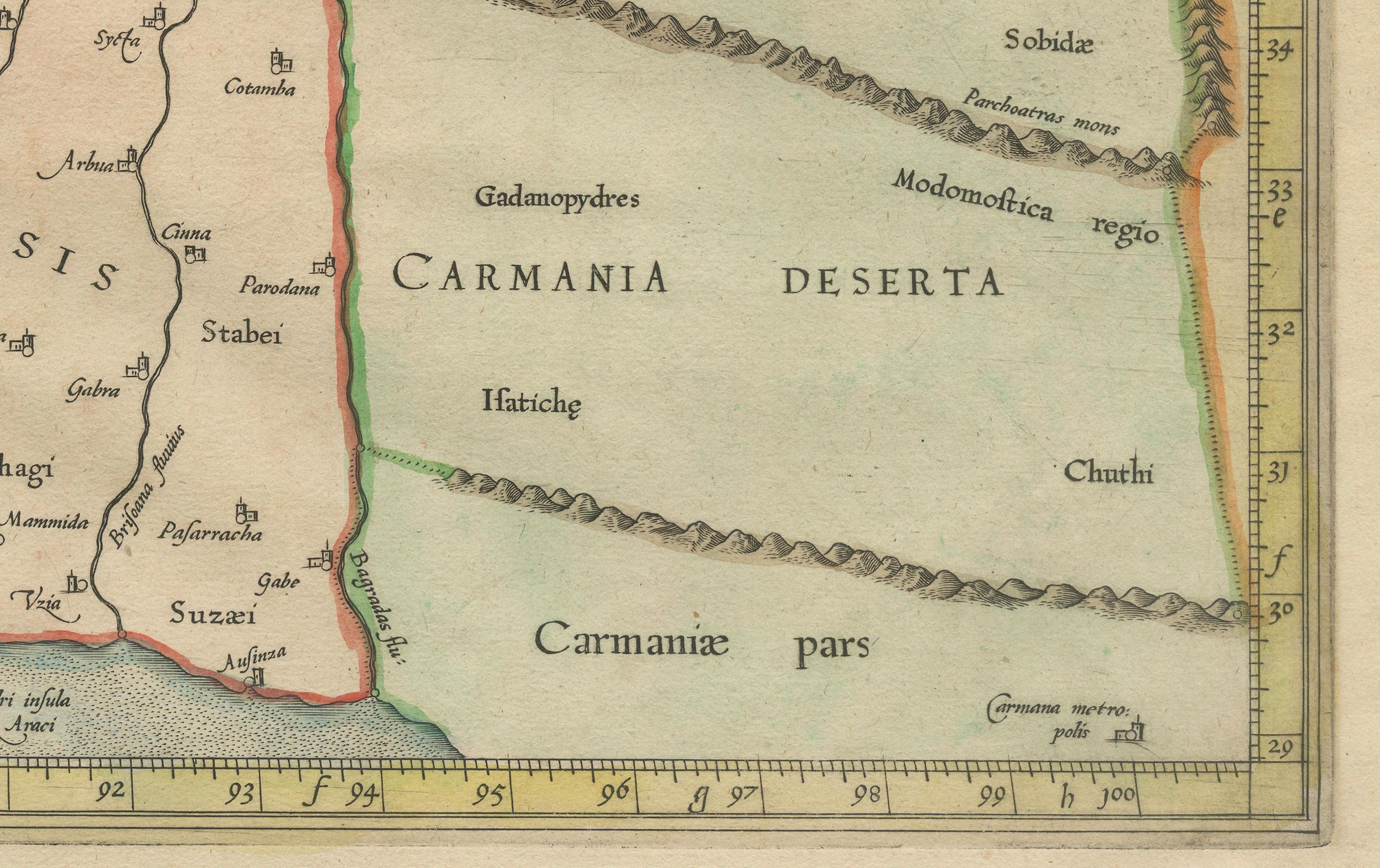
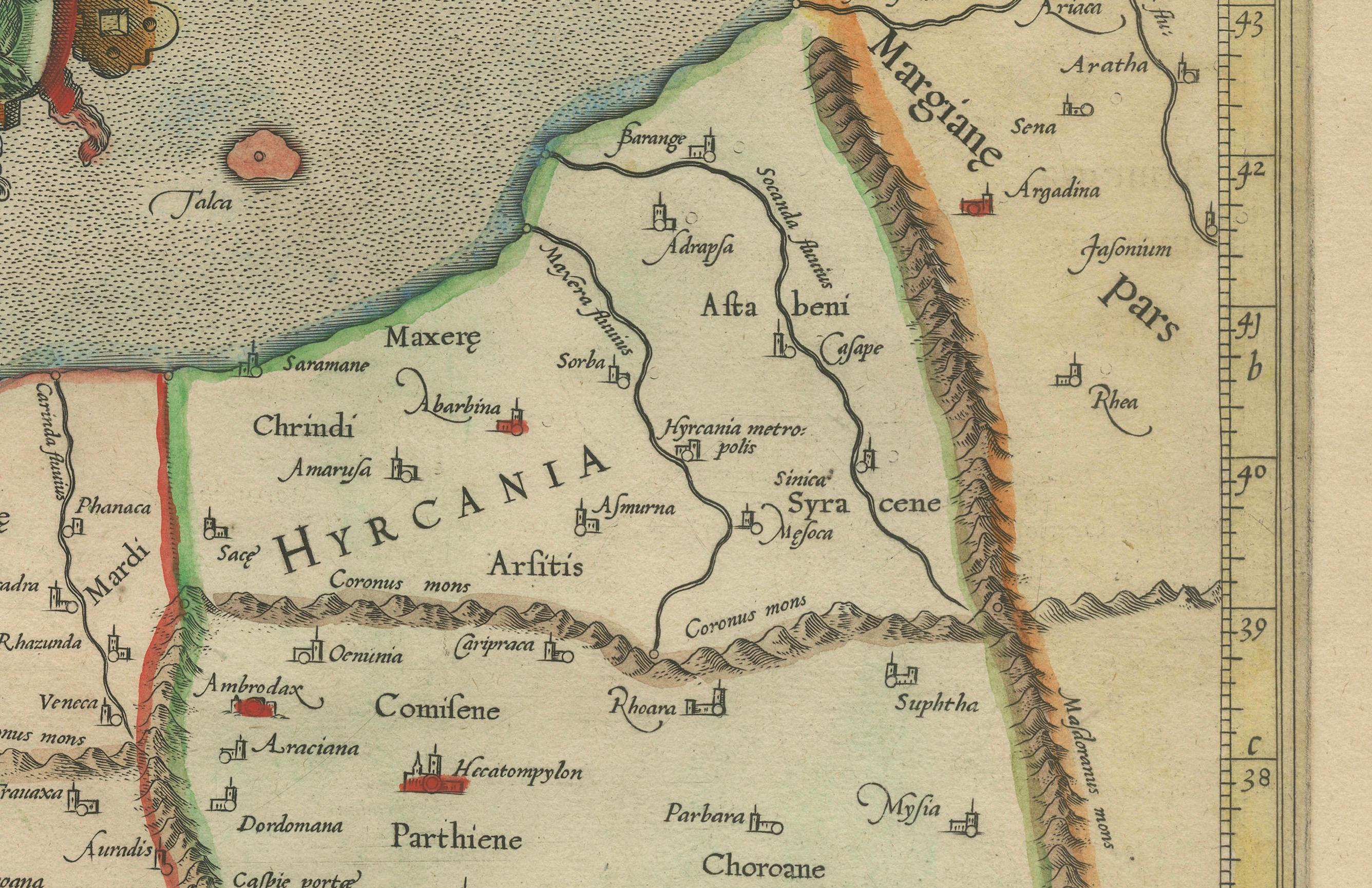
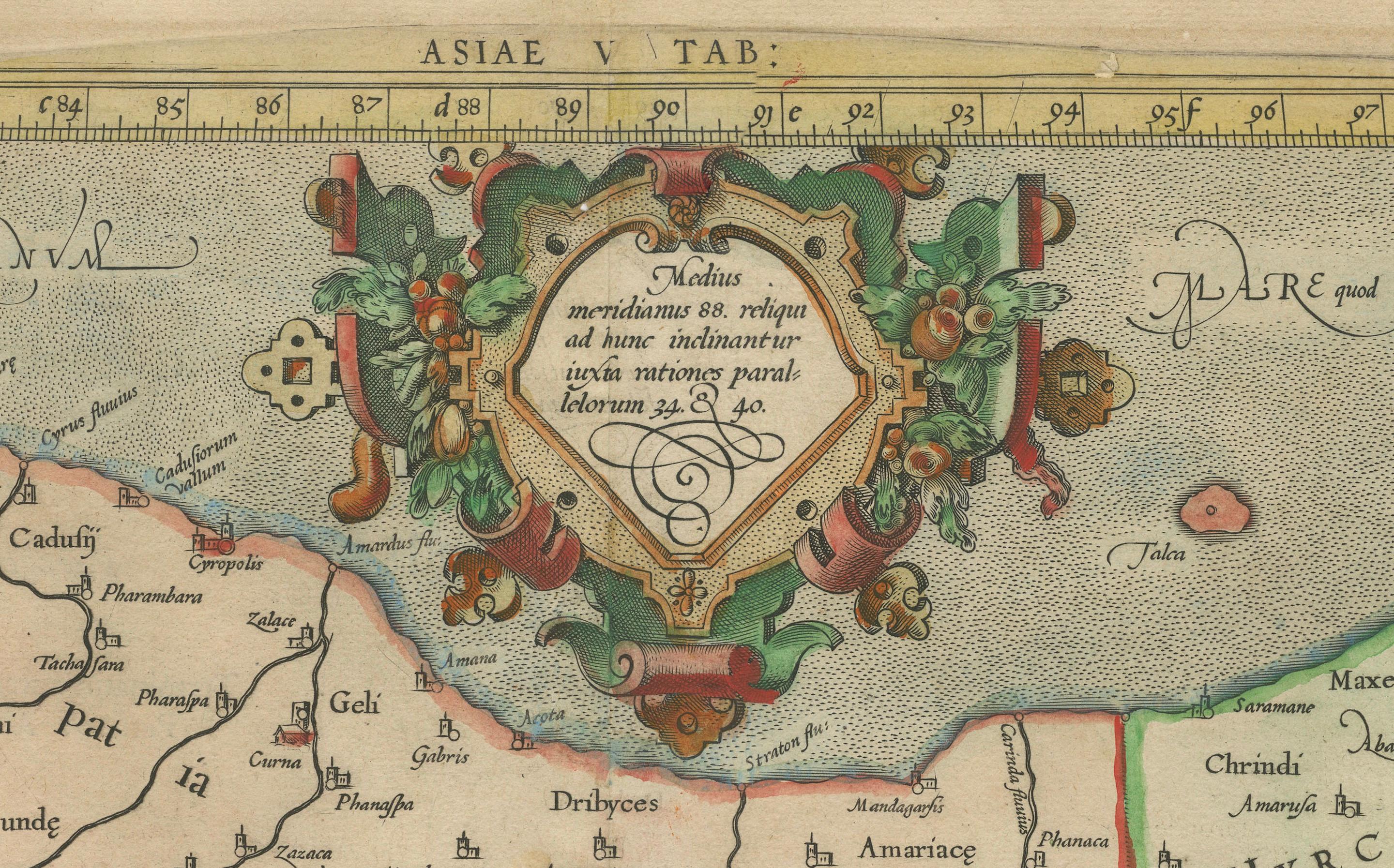
This map, "Asiae I Tab:", features the region corresponding to modern-day Iran and Iraq, intricately depicted in Gerard Mercator's edition of Claudius Ptolemy's "Tabulae Geographicae Orbis Terrarum." This piece is a prime example of an early state of Mercator's work, combining both geographical insight and artistic skill, showcasing areas that were historically known as Assyria, Media, and parts of Persia and Parthia.
Gerard Mercator, born in Flanders and educated at the Catholic University in Leuven, is recognized as one of the most prominent cartographers in history. After graduating in 1532, Mercator collaborated with notable figures like Gemma Frisius and Gaspar a Myrica to produce globes and scientific instruments, which were crucial in developing his cartographic skills. In 1552, he relocated to Duisburg, where he spent the remainder of his life and was later appointed as the official cosmographer to Duke Wilhelm of Cleve in 1564.
Mercator's contributions to cartography are profound. His development of the Mercator projection was revolutionary, allowing navigators to plot courses using straight lines, significantly simplifying navigation. This projection, which shows parallels and meridians at right angles and extends distances between parallels toward the poles, was vital for accurate latitude and longitude calculations. Mercator is also credited with coining the term "atlas" for a collection of maps, which was first used to describe his comprehensive volume of maps published posthumously in 1595 by his family.
This map is a vivid representation of Mercator’s craftsmanship and Ptolemy's geographic concepts, beautifully rendered in fine hand color and excellent condition, reflecting the enduring legacy of these two giants of the cartographic world.