
Maps & PrintsBartele Gallery · Langweer
Home / Antique Maps / Asia / West Asia & the Holy Land

West Asia & the Holy Land

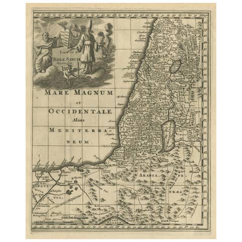
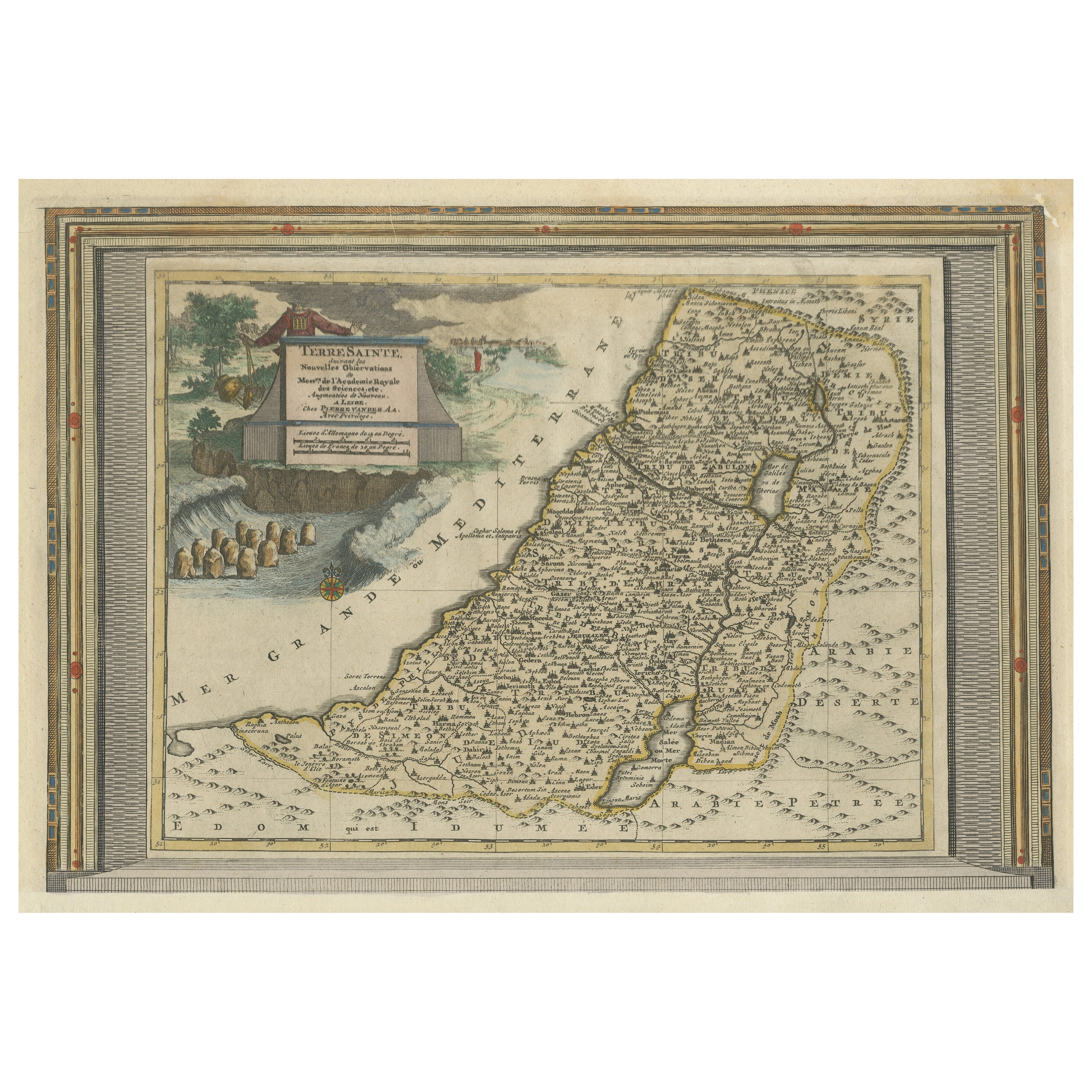
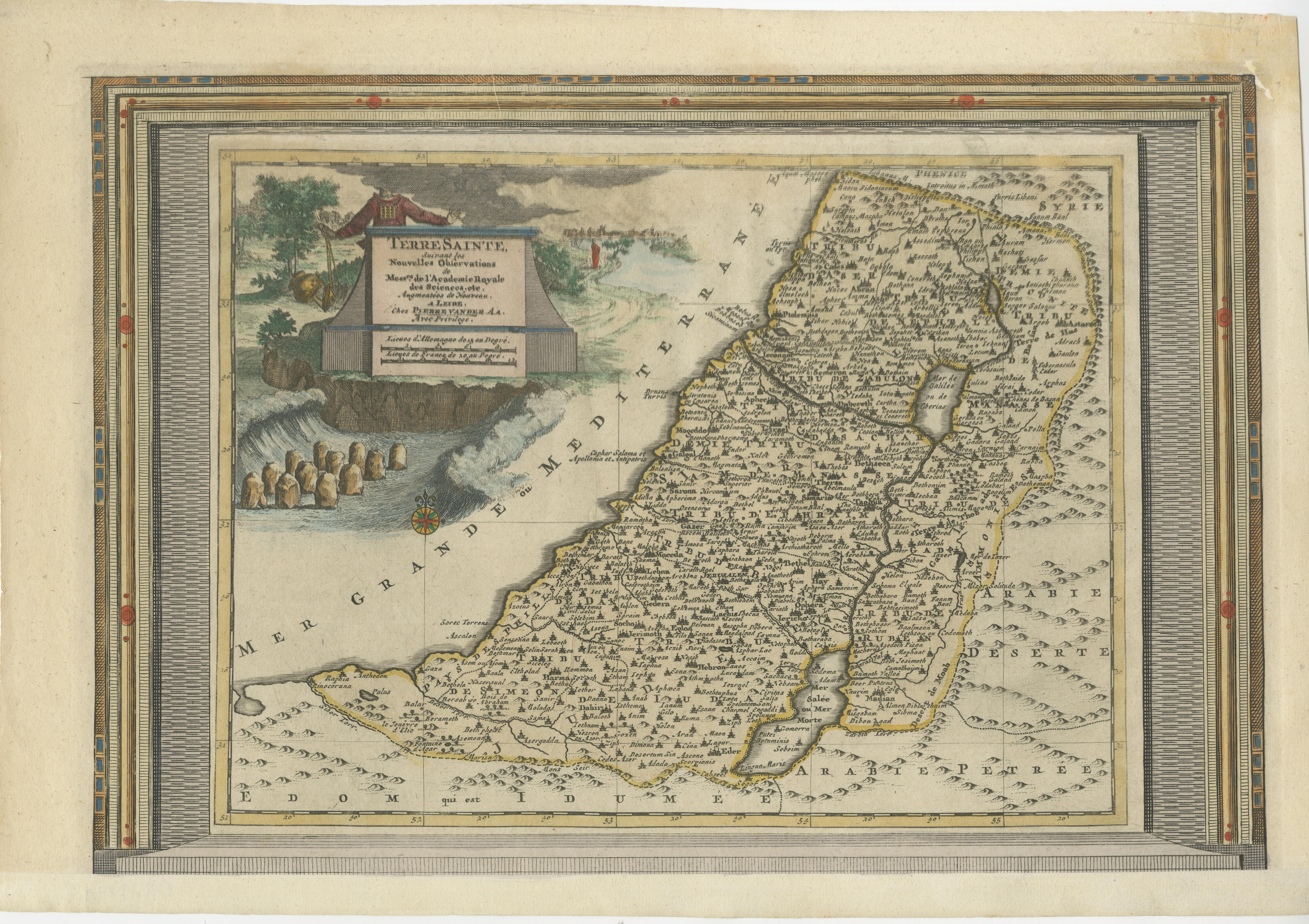
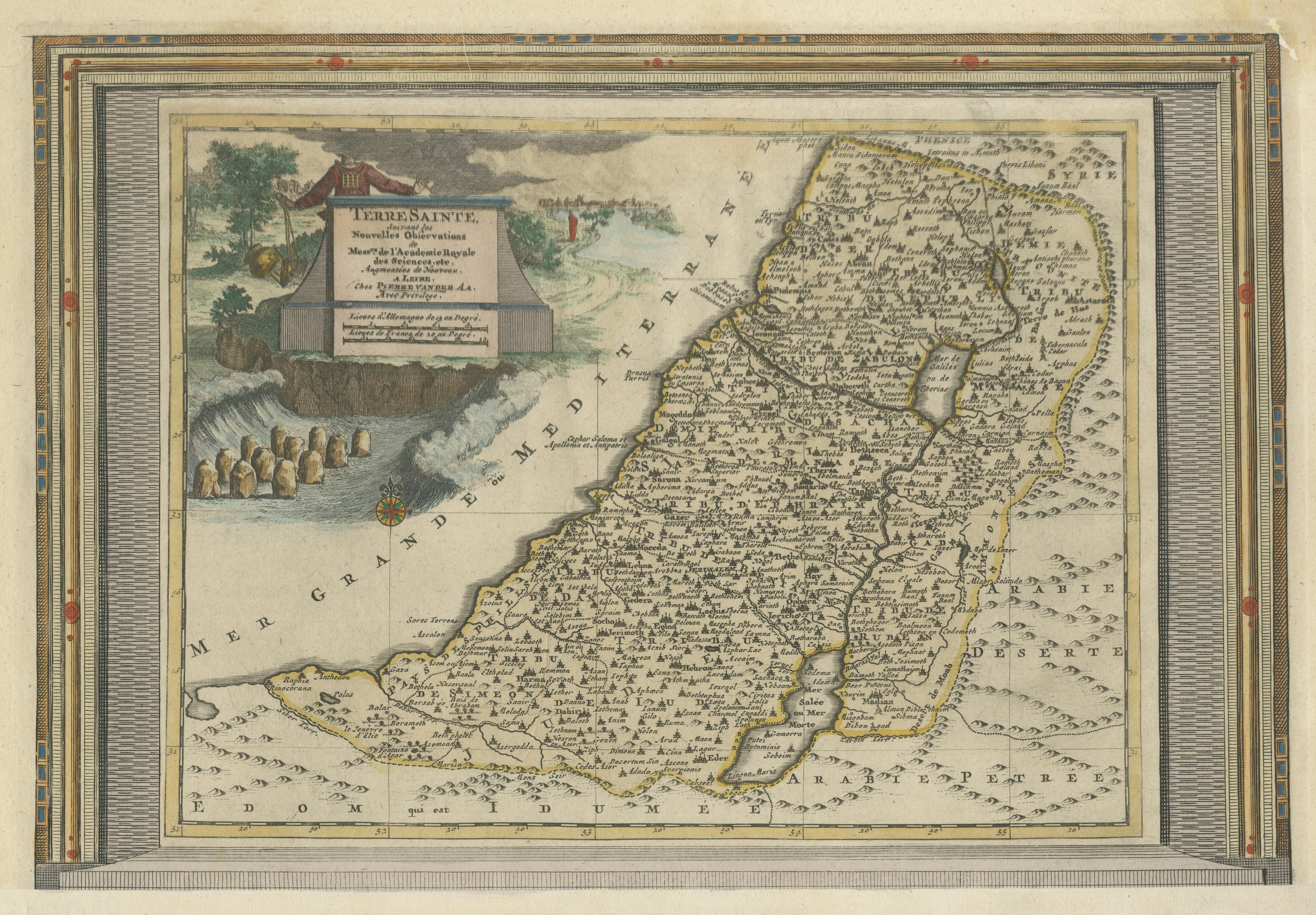
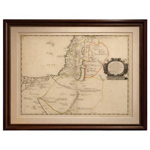
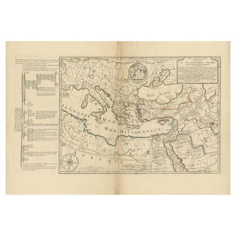
Antique Map of the Holy Land with Picture Frame Border

€ 880

One of a kind: this is the sheet in the photographs. Ships from Langweer, the Netherlands.

Sheet size
29.6 × 43.2 cm (11.7 × 17.0 in)
Condition
Good
Reference
BG-13449-3

Condition

Repaired: Repair top right, sl. affecting image. Bottom margin extended. General age-related toning. Shows some wear and creasing. Blank verso. Please study image carefully.
About this sheet

Antique map titled 'Terre Sainte Suivant les Nouvelles Observations (..)'. Original old map of the Holy Land with the picture frame border. The term "Holy Land" usually refers to a territory roughly corresponding to the modern State of Israel and the Palestinian territories. Originates from 'Nouvelle Theatre Du Monde' published by P. van der Aa, 1713.

More from West Asia & the Holy Land

Ask about this sheet

Antique Map of the Holy Land with Picture Frame Border
Ref. BG-13449-3 · € 880
We reply by email, usually within one working day.