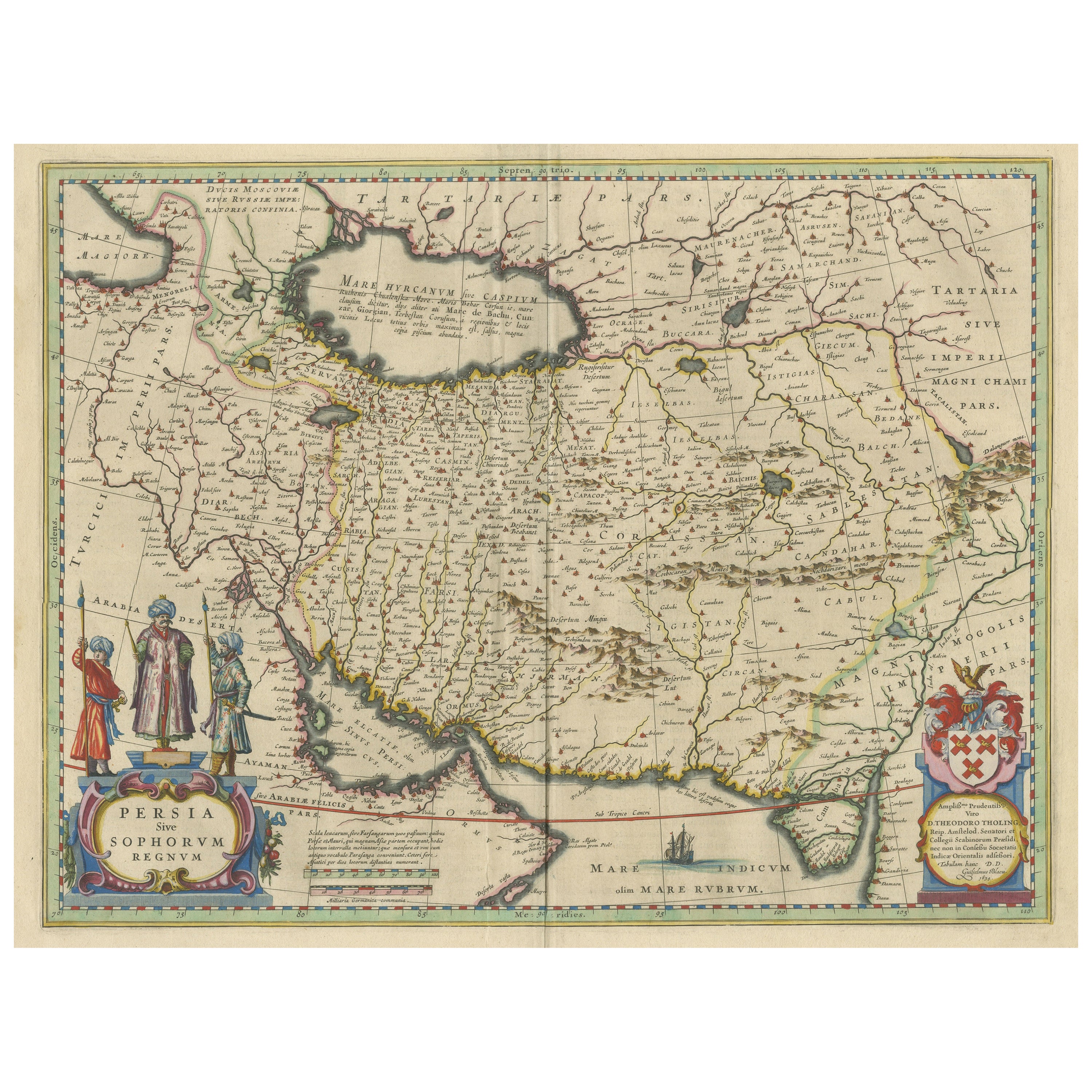

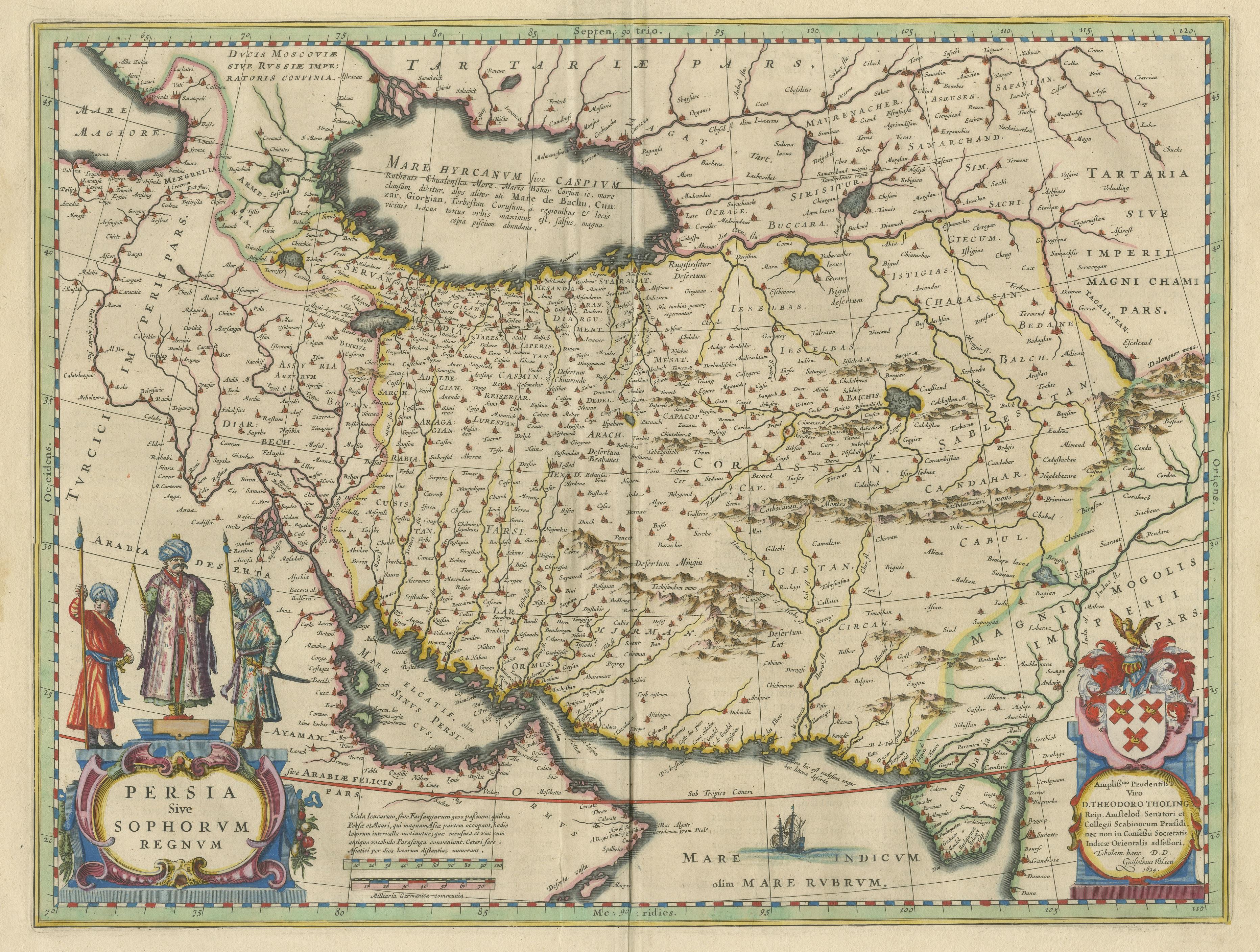
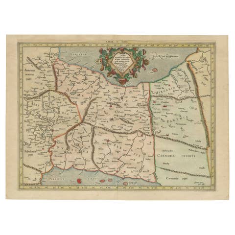
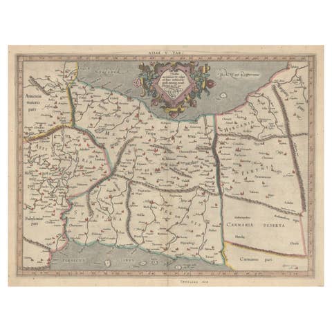
One of a kind: this is the sheet in the photographs. Ships from Langweer, the Netherlands.
Sheet size
50.8 × 61 cm (20.0 × 24.0 in)
Condition
Good
Reference
BG-13451
Condition
General age-related toning. Original folding line. Tear near folding line, few tears in margins and a defect in right margin. French text on verso. Please study image carefully.
About this sheet
Antique map titled 'Persia sive Sophorum Regnum'. Original old map of Persia. The map extends from the Eastern Mediteranian to Tacalistan and the Indus River and the Dalanguer Mountains and the Cabul Region, with the Red Sea and the Persian Gulf in the South and Caspian and Tartaria in the North. With dedication cartouche, decorative title cartouche and sailing ships. Published by W.J. Blaeu, circa 1634.
Willem Janszoon Blaeu (1571-1638) was a prominent Dutch geographer and publisher. Born the son of a herring merchant, Blaeu chose not fish but mathematics and astronomy for his focus. He studied with the famous Danish astronomer Tycho Brahe, with whom he honed his instrument and globe making skills. Blaeu set up shop in Amsterdam, where he sold instruments and globes, published maps, and edited the works of intellectuals like Descartes and Hugo Grotius. In 1635, he released his atlas, Theatrum Orbis Terrarum, sive, Atlas novus.
Willem died in 1638. He had two sons, Cornelis (1610-1648) and Joan (1596-1673). Joan trained as a lawyer, but joined his father’s business rather than practice. After his father’s death, the brothers took over their father’s shop and Joan took on his work as hydrographer to the Dutch East India Company. Later in life, Joan would modify and greatly expand his father’s Atlas novus, eventually releasing his masterpiece, the Atlas maior, between 1662 and 1672.