Maps & PrintsBartele Gallery · Langweer
Home / Antique Maps / Asia / West Asia & the Holy Land

West Asia & the Holy Land

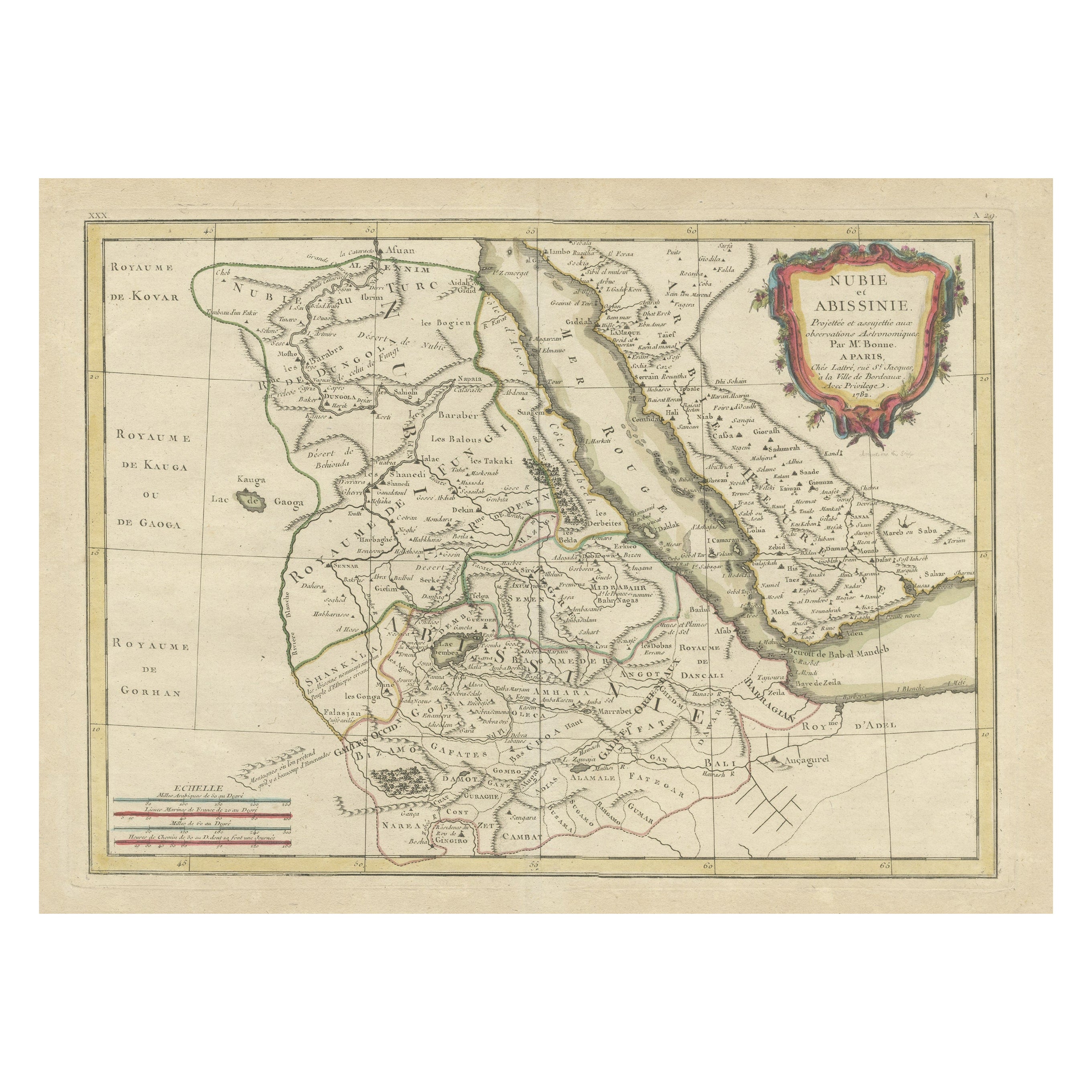
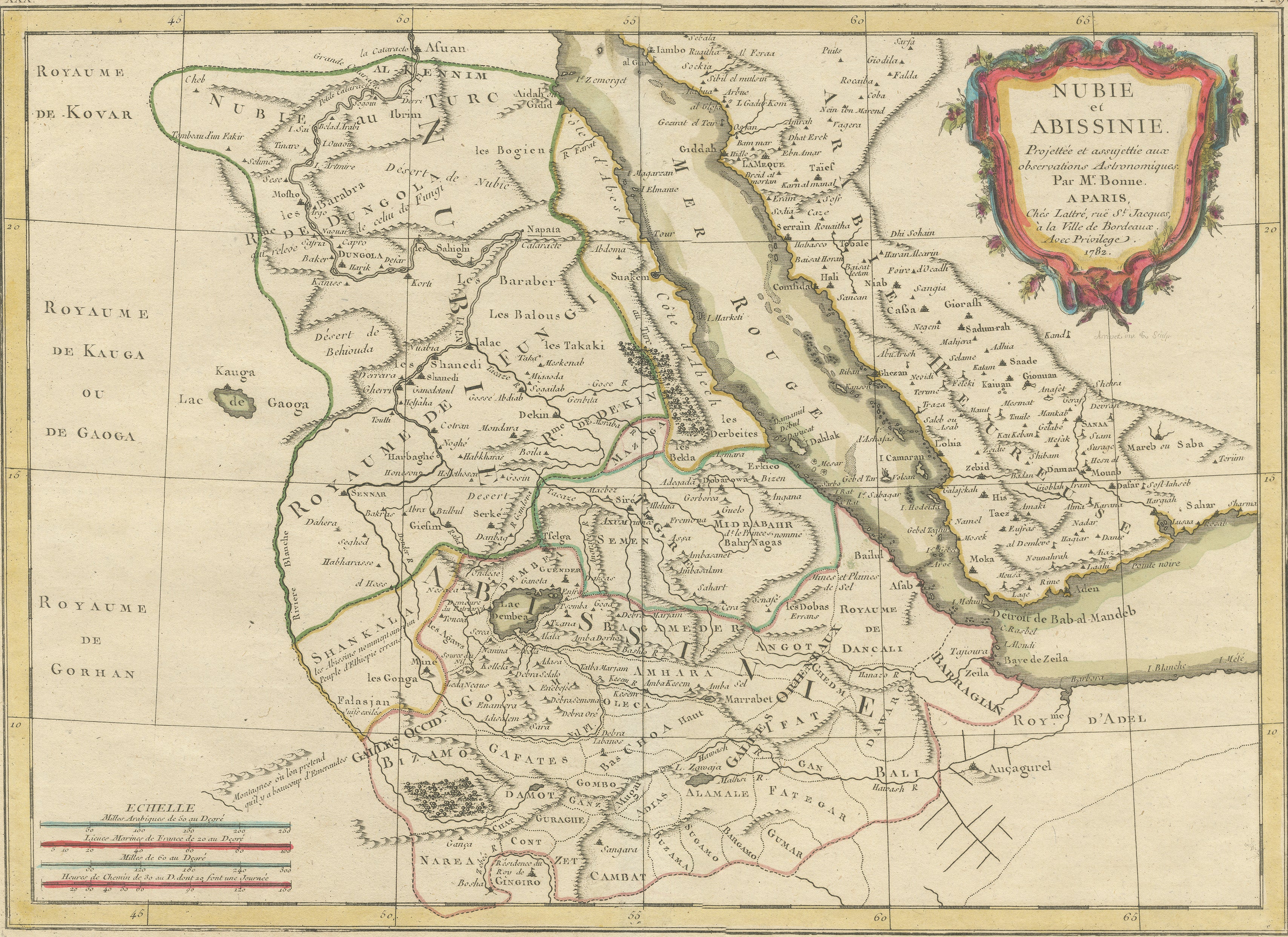
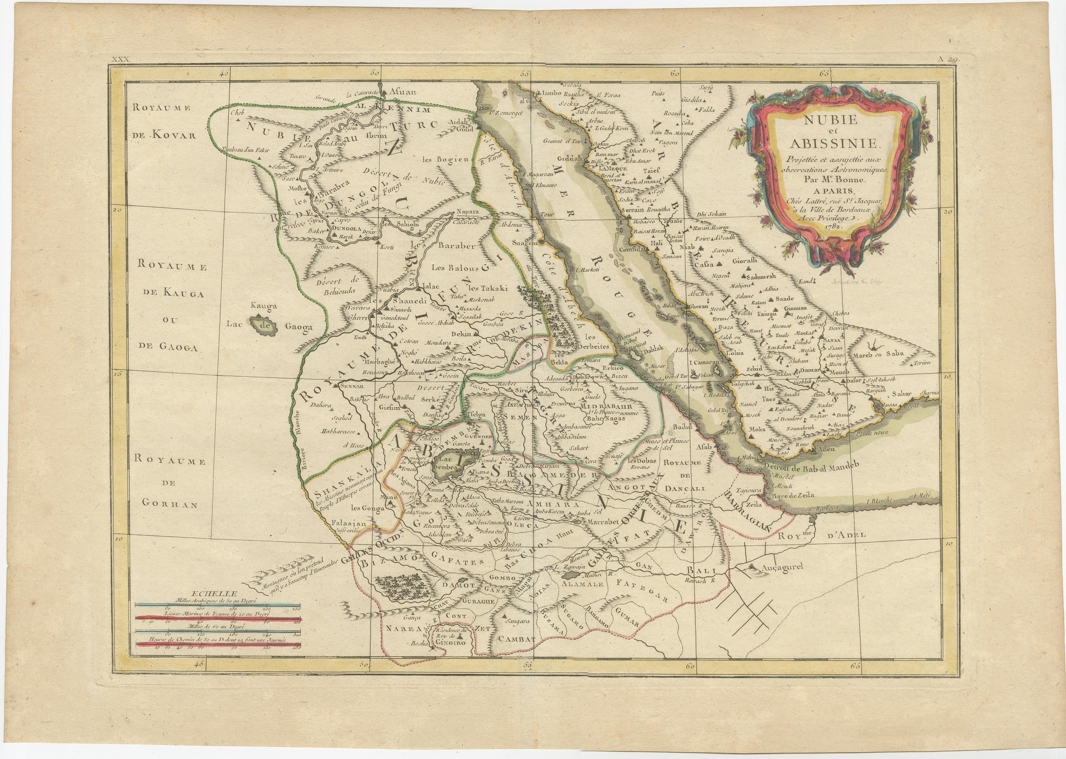
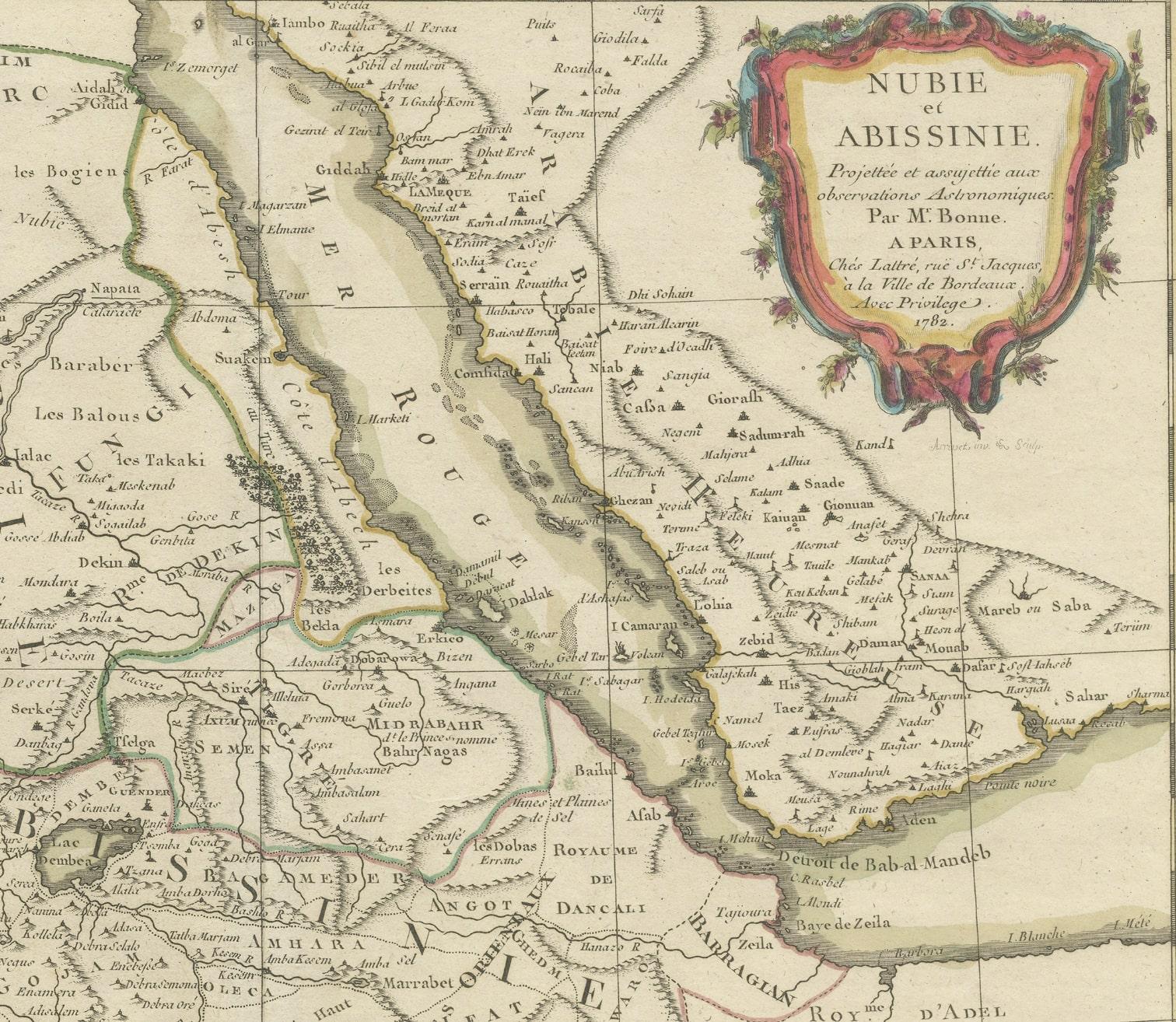
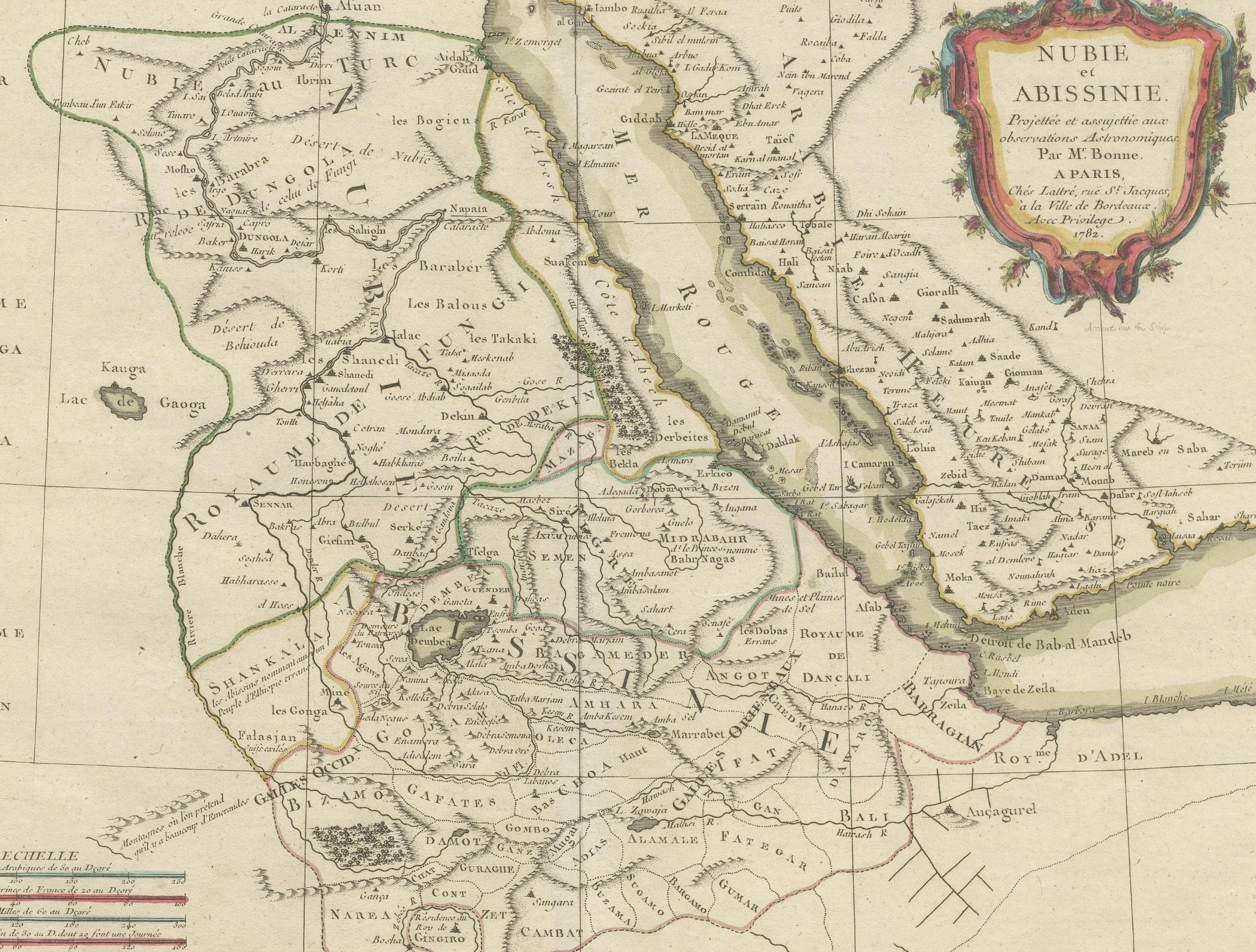
Antique Map of Arabia including Nubia and Abyssinia, also shows the Red Sea

€ 860

One of a kind: this is the sheet in the photographs. Ships from Langweer, the Netherlands.

Sheet size
36.3 × 51.7 cm (14.3 × 20.4 in)
Condition
Good
Reference
BG-13189-2

Condition

Wear consistent with age and use. General age-related toning, original folding line. Minor wear, blank verso. Please study image carefully.
About this sheet

Antique map titled 'Nubie et Abissinie'. Original antique map of Nubia, a region along the Nile river, and Abyssinia or the Ethiopian Empire. This map originates from 'Atlas moderne ou collection de cartes'. Published by R. Bonne, circa 1782.

More from West Asia & the Holy Land

Ask about this sheet

Antique Map of Arabia including Nubia and Abyssinia, also shows the Red Sea
Ref. BG-13189-2 · € 860
We reply by email, usually within one working day.