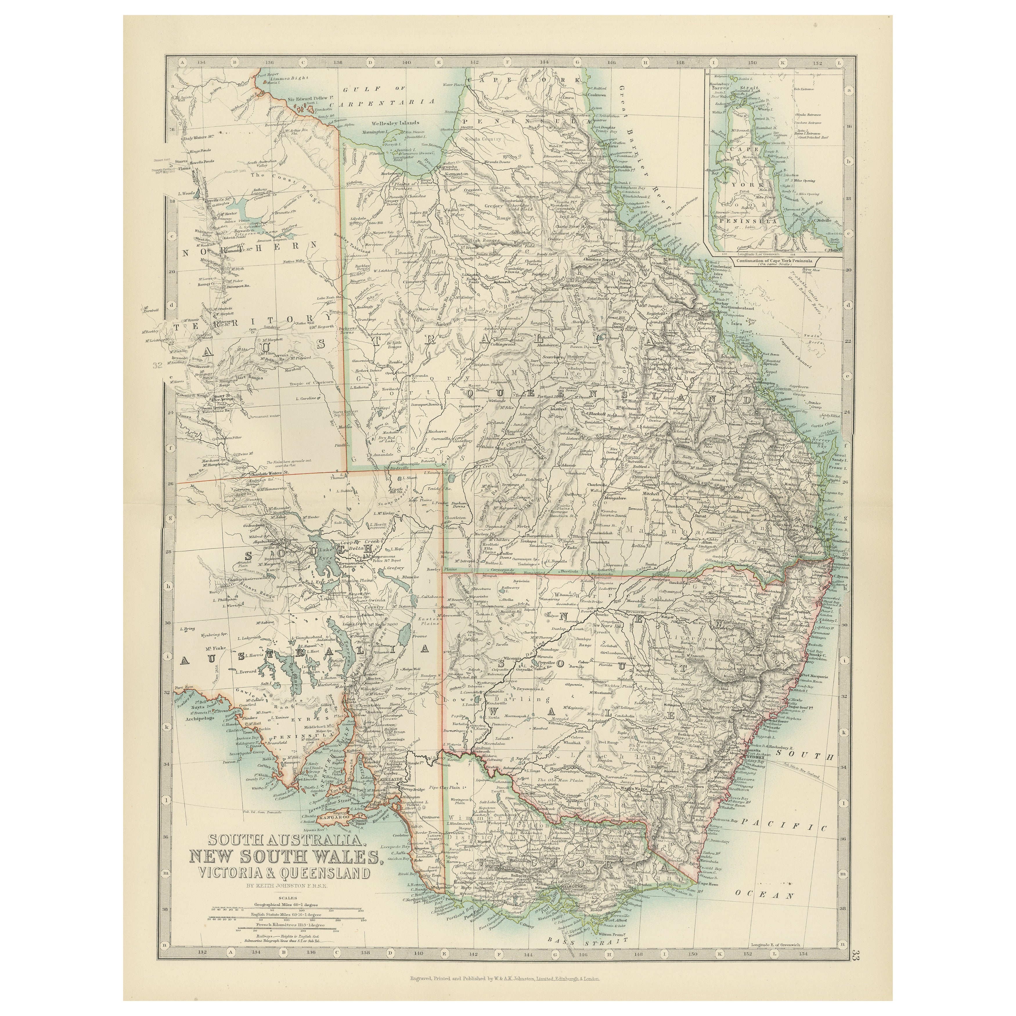
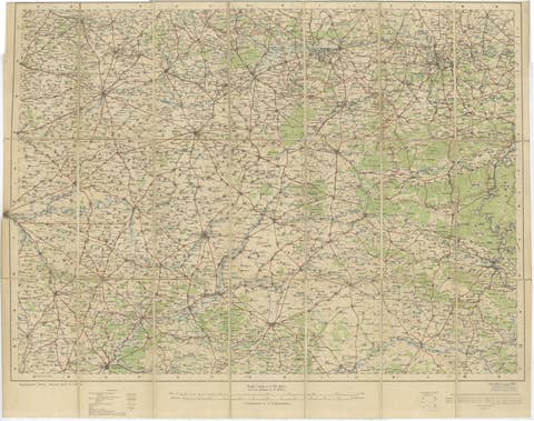
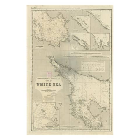
Antique Map of South Australia, New South Wales, Victoria and Queensland, 1903
€ 300
One of a kind: this is the sheet in the photographs. Ships from Langweer, the Netherlands.
Date
1903
Sheet size
47 × 36.8 cm (18.5 × 14.5 in)
Condition
Good
Reference
BG-13577-33
Condition
This map is in very good antique condition, with minor foxing and gentle edge toning typical for its age. The colors remain vibrant and the paper is stable and well-preserved. Folding line as issued.
About this sheet
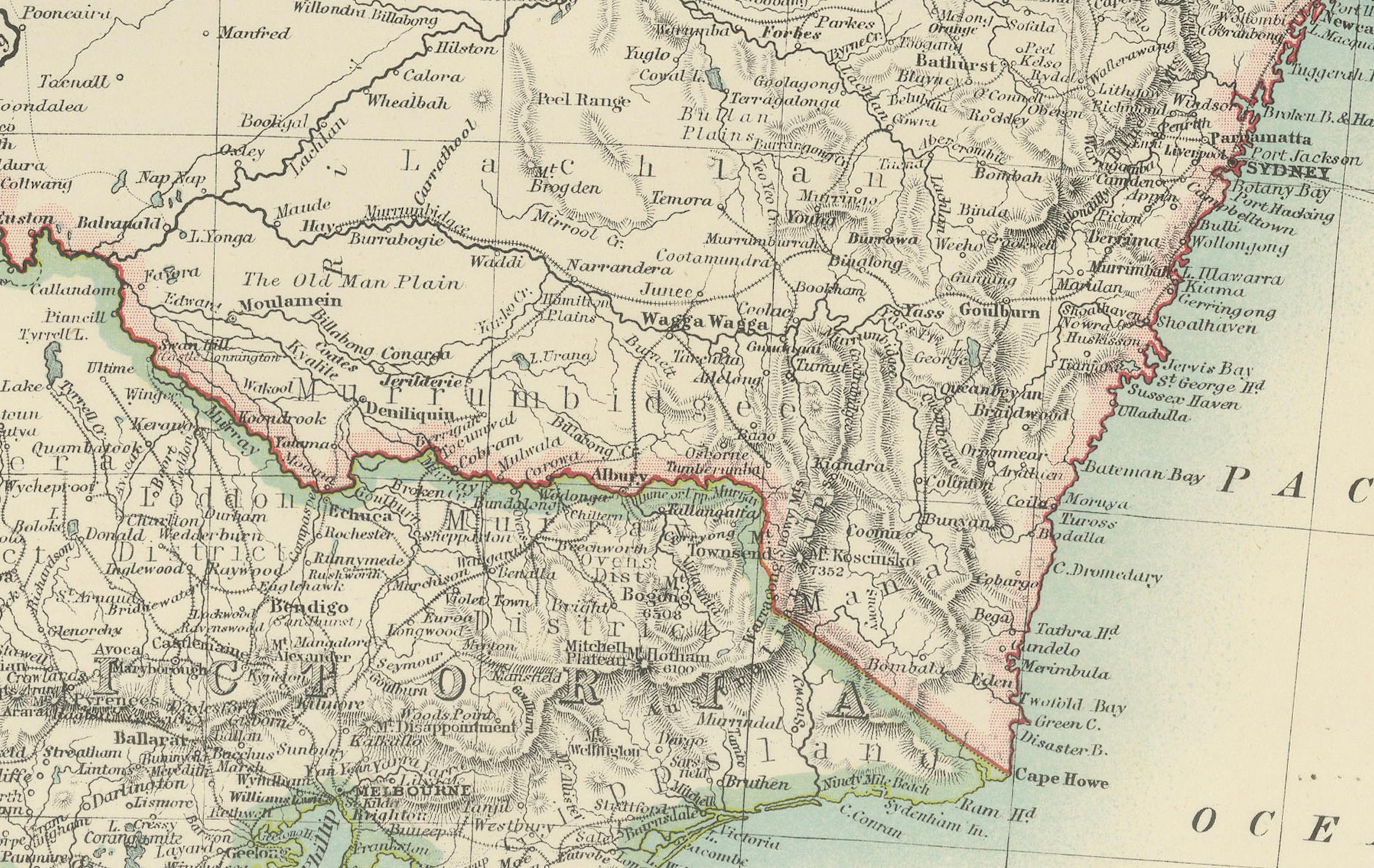
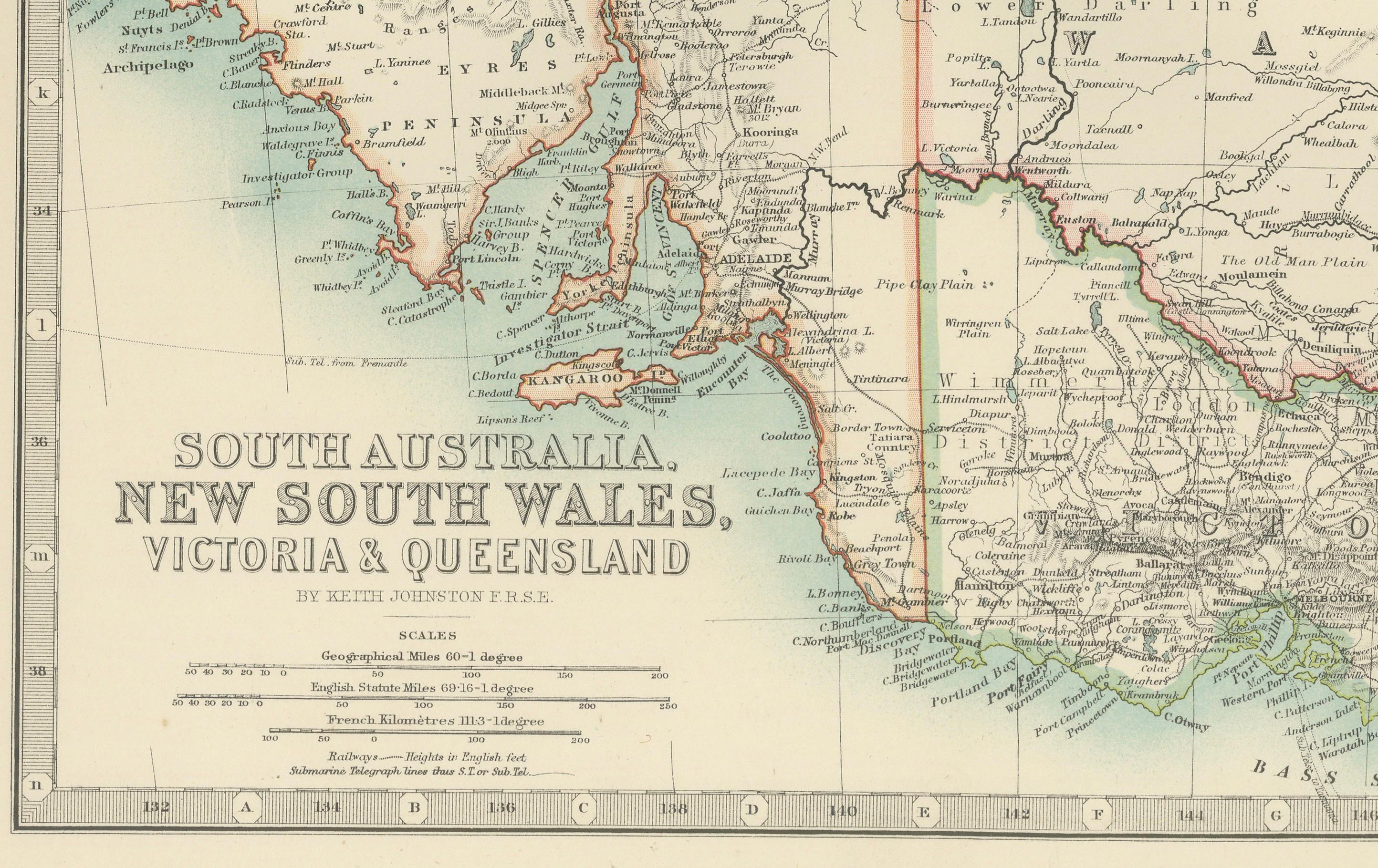
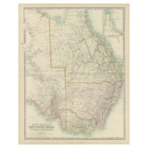
This antique map, titled "South Australia, New South Wales, Victoria, and Queensland," was engraved and published in 1903 by W. & A.K. Johnston in Edinburgh and London. It provides a beautifully detailed and historically rich depiction of southeastern Australia during a formative period in its development as part of the British Empire and, after 1901, the Commonwealth of Australia.
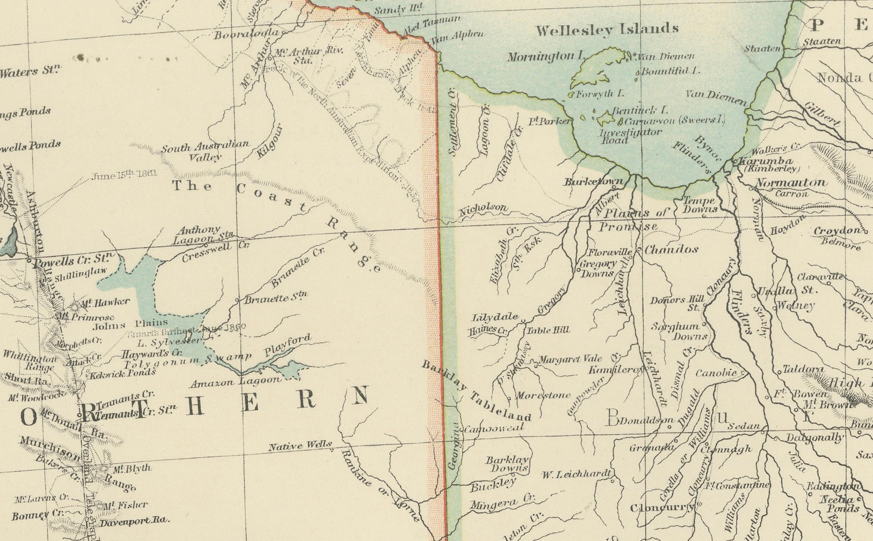
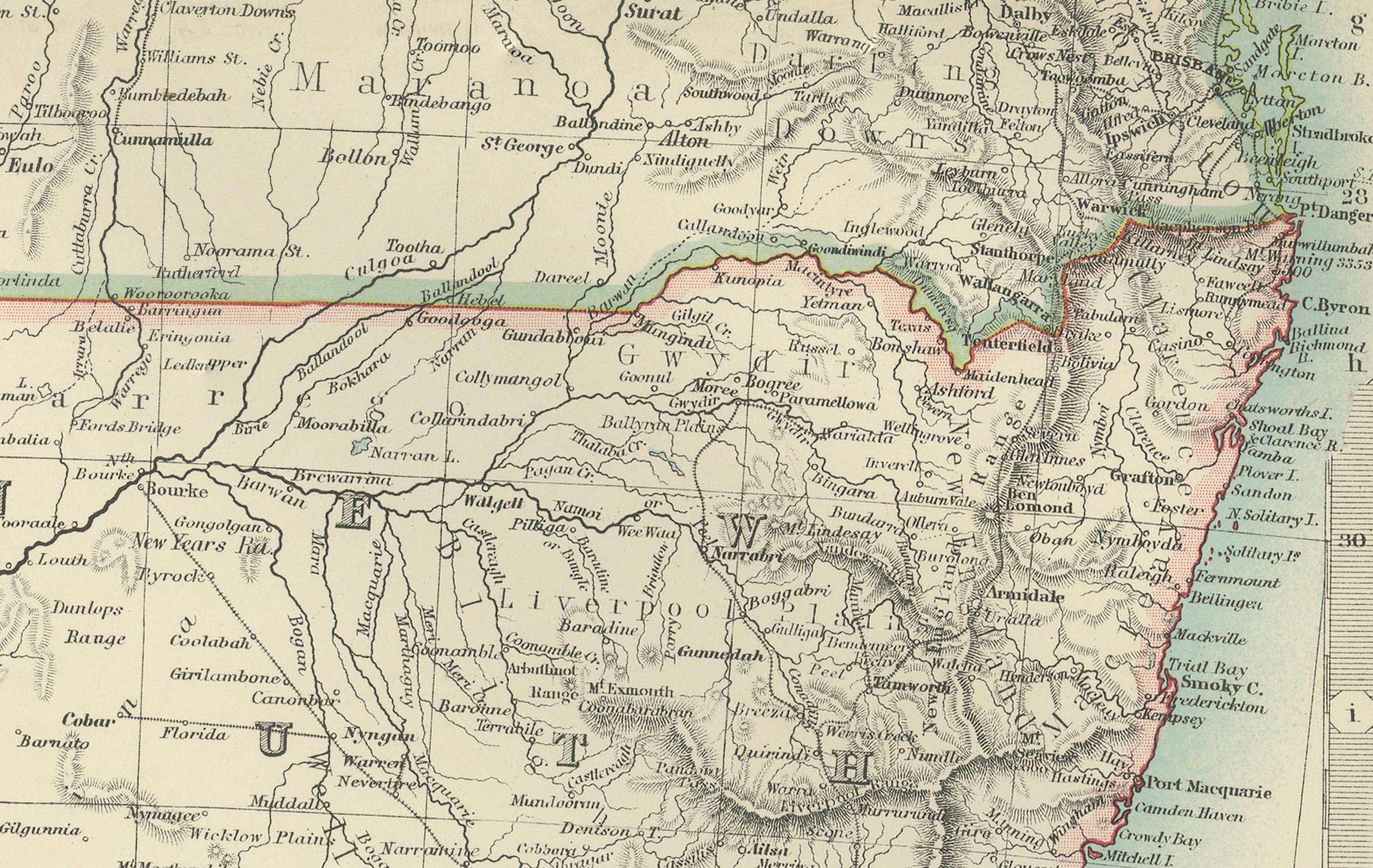
The map is delicately hand-colored in soft pastel shades to differentiate the colonial borders of the time. It meticulously traces out major cities, towns, rivers, mountain ranges, and transportation routes, offering a snapshot of the political and economic landscape of these bustling colonies at the dawn of the 20th century.
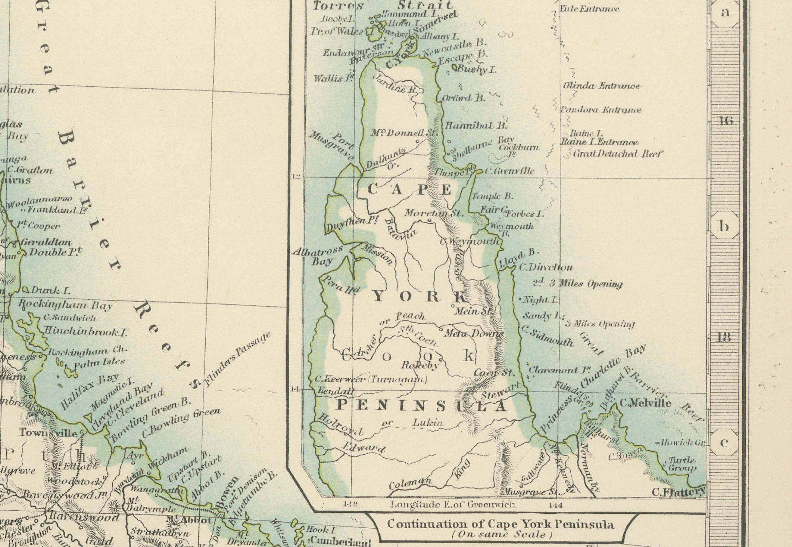
An inset of the Torres Strait and northern Queensland provides additional detail on these important coastal regions. The map’s precision and clarity speak to the exceptional skill of Johnston’s cartographers, capturing the interplay between natural features and the growing infrastructure of a rapidly developing continent.
For collectors, historians, and enthusiasts of Australian history, this map is more than just a decorative piece—it is a tangible record of the region’s colonial heritage and the roots of modern Australia. It highlights both the grandeur of Australia’s natural environment and the ambition of the settlers and Indigenous communities who shaped its destiny.
Condition report: This map is in very good antique condition, with only minor foxing and gentle toning along the edges, consistent with its age. The colors remain vibrant and the paper is stable and well-preserved.
Framing tips: A classic wooden frame in walnut or cherry will complement the warm pastel colors and fine detailing of this map. Use a cream or off-white matting to highlight the intricate linework and create a refined, timeless focal point for any home, library, or study.