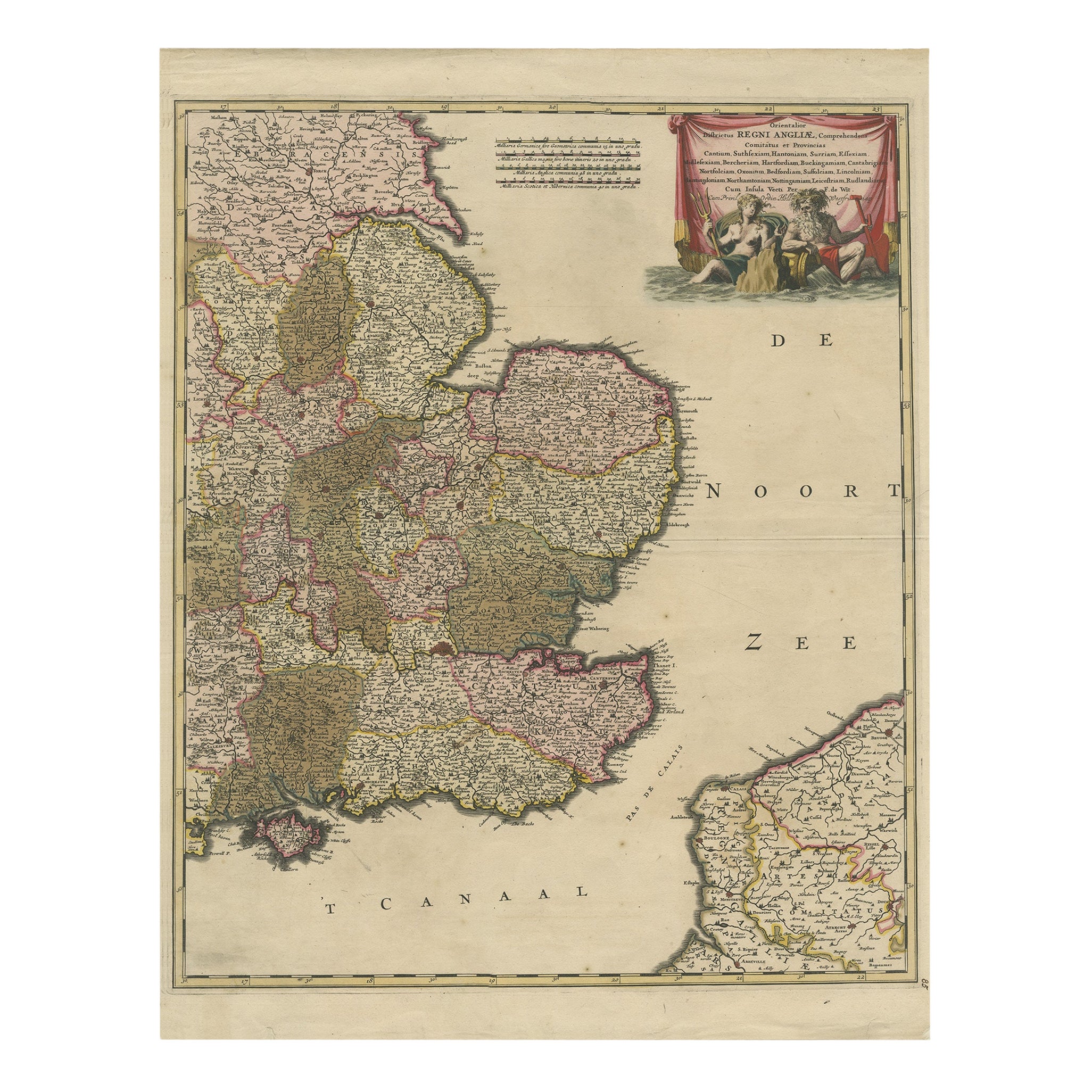
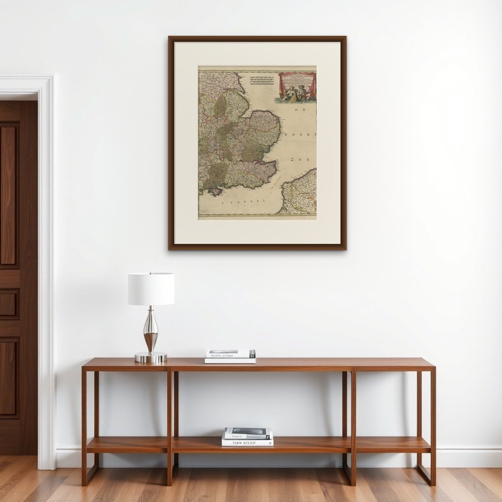
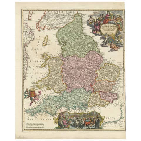
Detailed Antique Map of Southeast England, incl Warwickshire and Hampshire, 1690
€ 850
Original antique · The actual sheet photographed · Certificate of authenticity on request · Sold unframed · Worldwide shipping from € 15 (rates)
Date
1690
Sheet size
65 × 51 cm (25.6 × 20.1 in)
Condition
Good
Reference
BG-12426-7
What the condition grades mean
Excellent
Bright and clean, with no faults worth mentioning.
Very good
Only light signs of age, such as faint toning.
Good
Normal signs of age for a sheet of this period: toning, some foxing, small marks or neat old repairs.
Fair
Clear faults such as staining, tears or repairs, priced to match.
Every fault we see is written in the condition note, and the whole sheet is shown uncropped in the photos.
Condition
Original/contemporary hand coloring. General age-related toning, minor wear and small defects. Blank verso. Please review the images for further condition details.
About this sheet
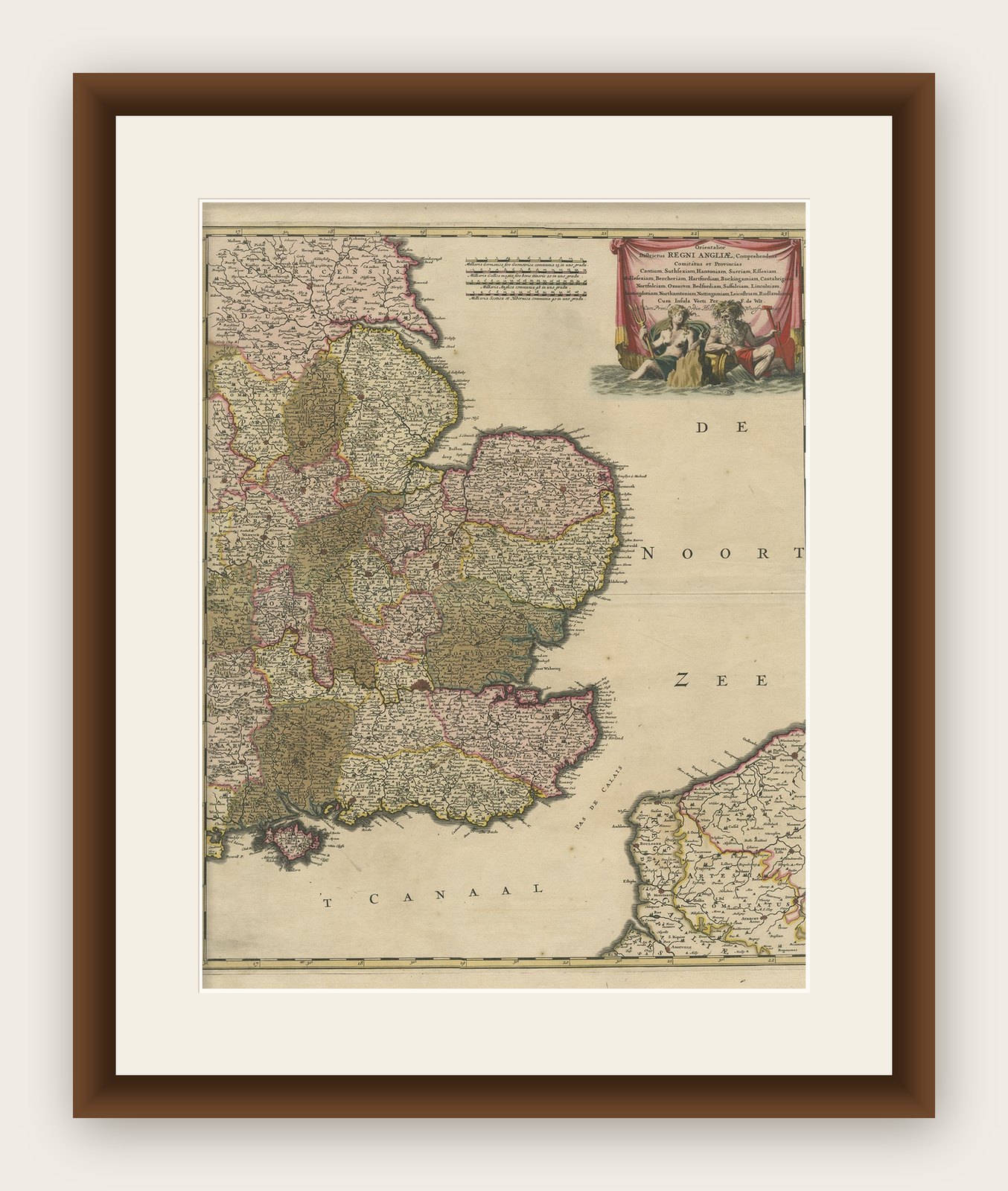
Antique map titled 'Orientalior districtus Regni Angliae (..)'.
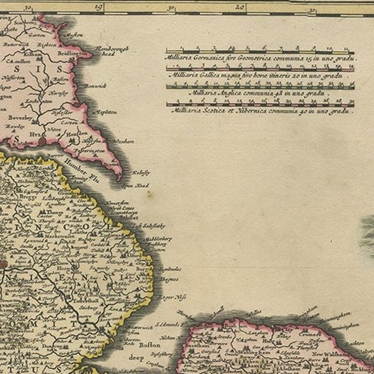
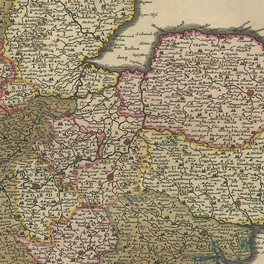
Detailed map of southeast England encompassing the country from Lincolnshire and the Wash south and including Warwickshire and Hampshire. Source unknown, to be determined.
Artists and Engravers: Frederick de Wit [1629-1706 was known as a map publisher, engraver and seller. He worked in Amsterdam from the Kalverstraat (‘bij den Dam inde dry Crabben) to 1654 and then from ‘in de Witte paskaert from 1655 to 1706. He produced a prodigious amount of cartographic material including separate terrestrial maps and sea charts, sea and terrestrial atlases, wall maps, and town views. Many of his maps were superbly colored by master Dutch colorists of his day such as Dirck van Santen. De Wit also acquired numerous copperplates from those auctioned by the Blaeu and Janssonius publishing houses sometime after 1674 and republished these works, often with his imprint added. On his death in 1706, The business was continued for a time by his widow Maria untill 1709. In 1710, the De Wit plates were sold to Mortier, Van der Aa, and Renard.