Maps & PrintsBartele Gallery · Langweer
Home / Antique Maps / Europe / Western Europe / The Netherlands & Belgium

The Netherlands & Belgium

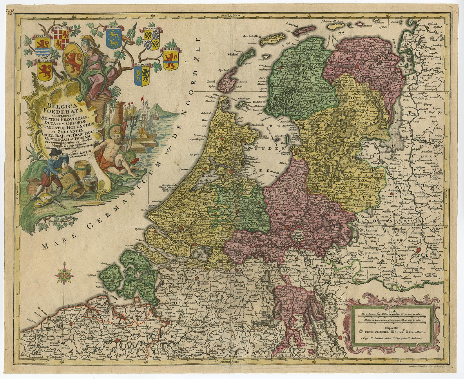
Large Antique Map of the Netherlands with Original Hand Coloring

€ 820

One of a kind: this is the sheet in the photographs. Ships from Langweer, the Netherlands.

Sheet size
49.8 × 60.5 cm (19.6 × 23.8 in)
Condition
Good
Reference
LM-15017

Condition

Repaired: Original folding line, with repairs (partly visible). Wear consistent with age and use. General age-related toning. Original/contemporary hand coloring. Original folding line, with repairs (partly visible). Minor wear, some soiling. Blank verso. Please study images carefully.Seller Loc
About this sheet

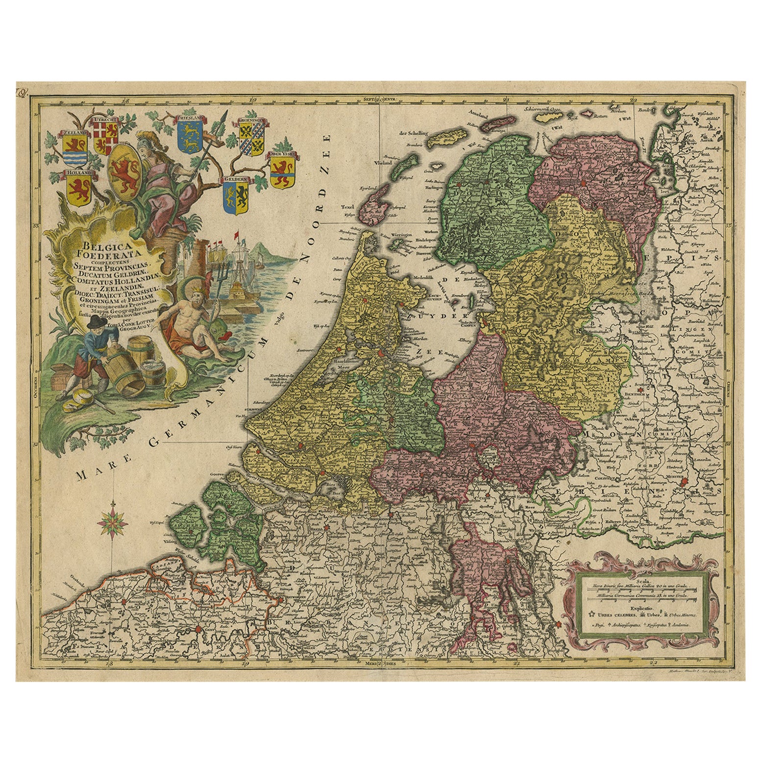
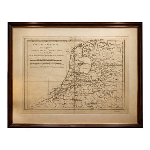
Original antique map titled 'Belgica Foederata complectens septem Provincias Ducatum Geldriae (..)". Large map of the Netherlands. Title and publisher's imprint in large rococo cartouche top left. In the North Sea a compass rose and bottom right the scale sticks in a Rococo frame. Backside blank. Copper engraving with rich old color, published in Augsburg in 1772 in "Atlas novus sive Tabulæ geographicæ totius Orbis (.)," Tobias Conrad Lotter.

Tobias Conrad Lotter (1717 – 1777) was born in Germany. He became an engraver and publisher in Augsburg. He married the eldest daughter of Mattäus Seutter the Elder, for whom he worked. Lotter produced the Atlas Minor to a great extent under his own responsibility (but still under Seutter) from 1740 – 1744. After Seutter’s death and after Seutter’s son Albrecht Karl died (1762), Lotter also was successful with his own business. He worked in association with his three sons and became one of the better known German cartographers.

More from The Netherlands & Belgium

Ask about this sheet

Large Antique Map of the Netherlands with Original Hand Coloring
Ref. LM-15017 · € 820
We reply by email, usually within one working day.