About this sheet
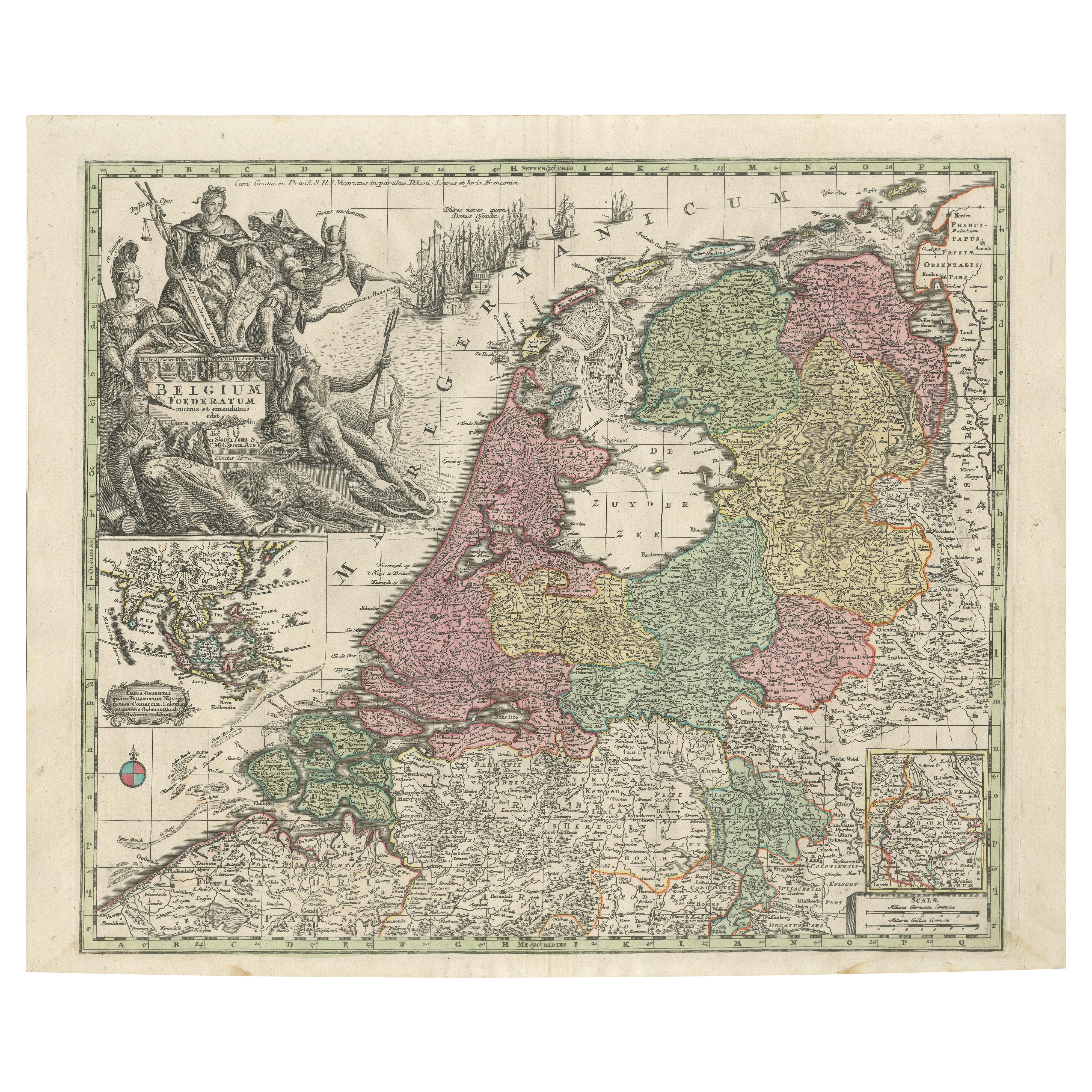
Dutch Republic & East Indies, Belgium Foederatum Map by Seutter, 18th Century
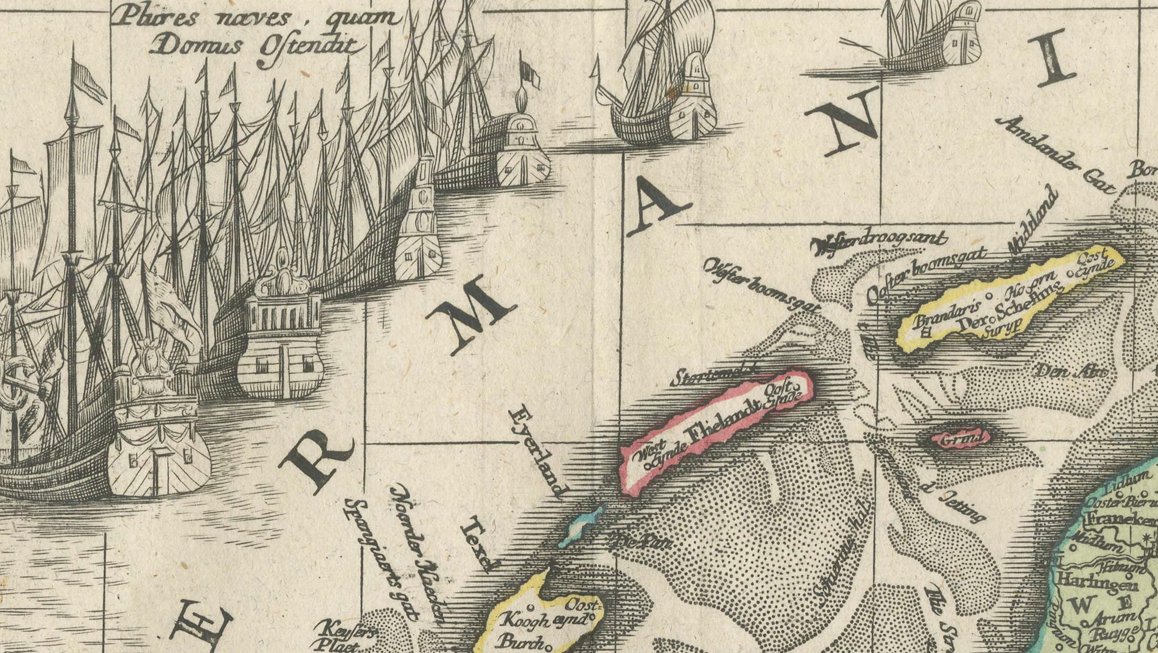
This impressive antique map titled Belgium Foederatum Auctius Et Emendatius depicts the Seven United Provinces of the Dutch Republic at the height of their political and commercial power. The map was created by Matthaeus Seutter, one of the leading German cartographers of the early 18th century, and published in Augsburg as part of his influential atlas production.
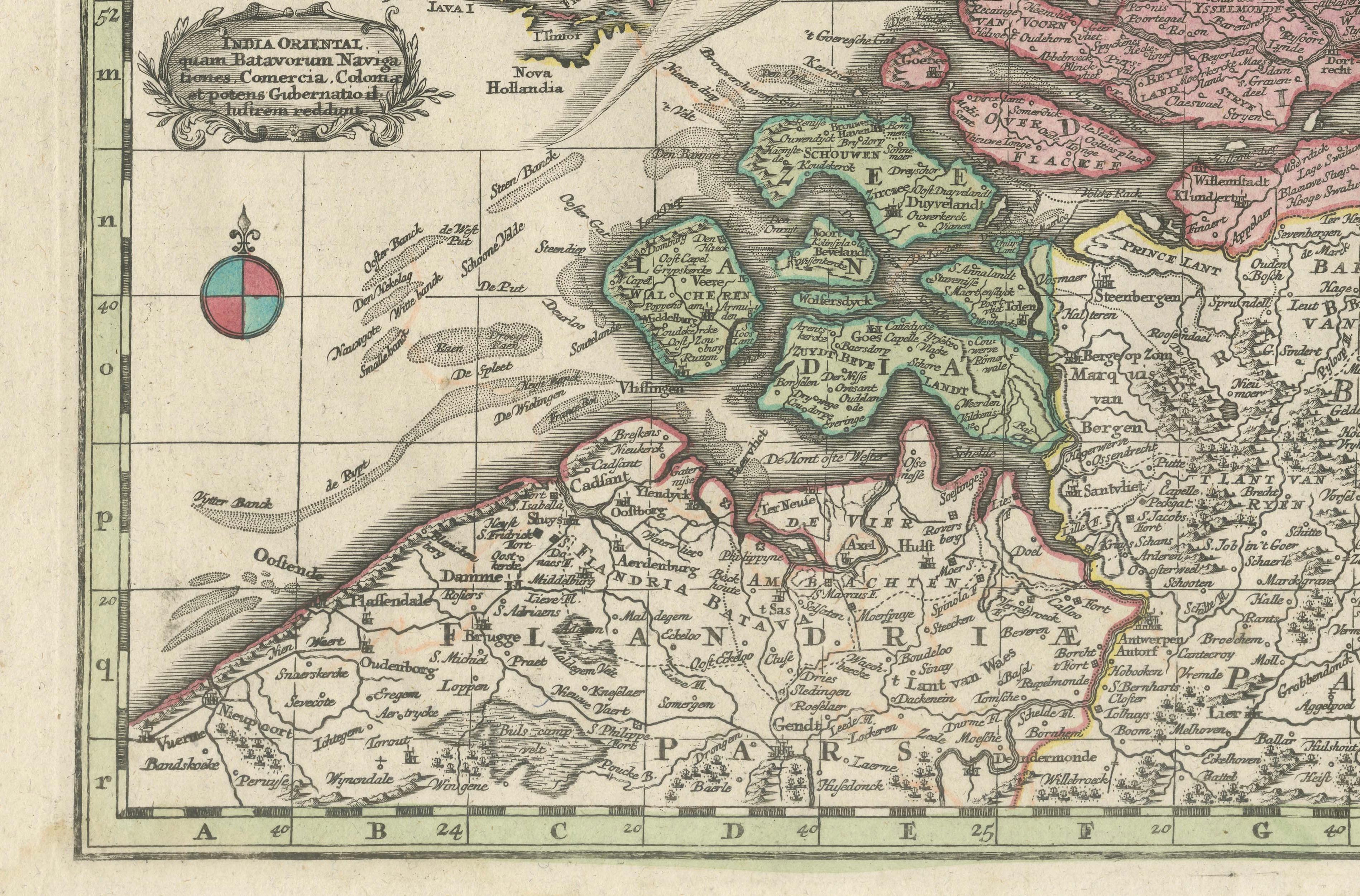
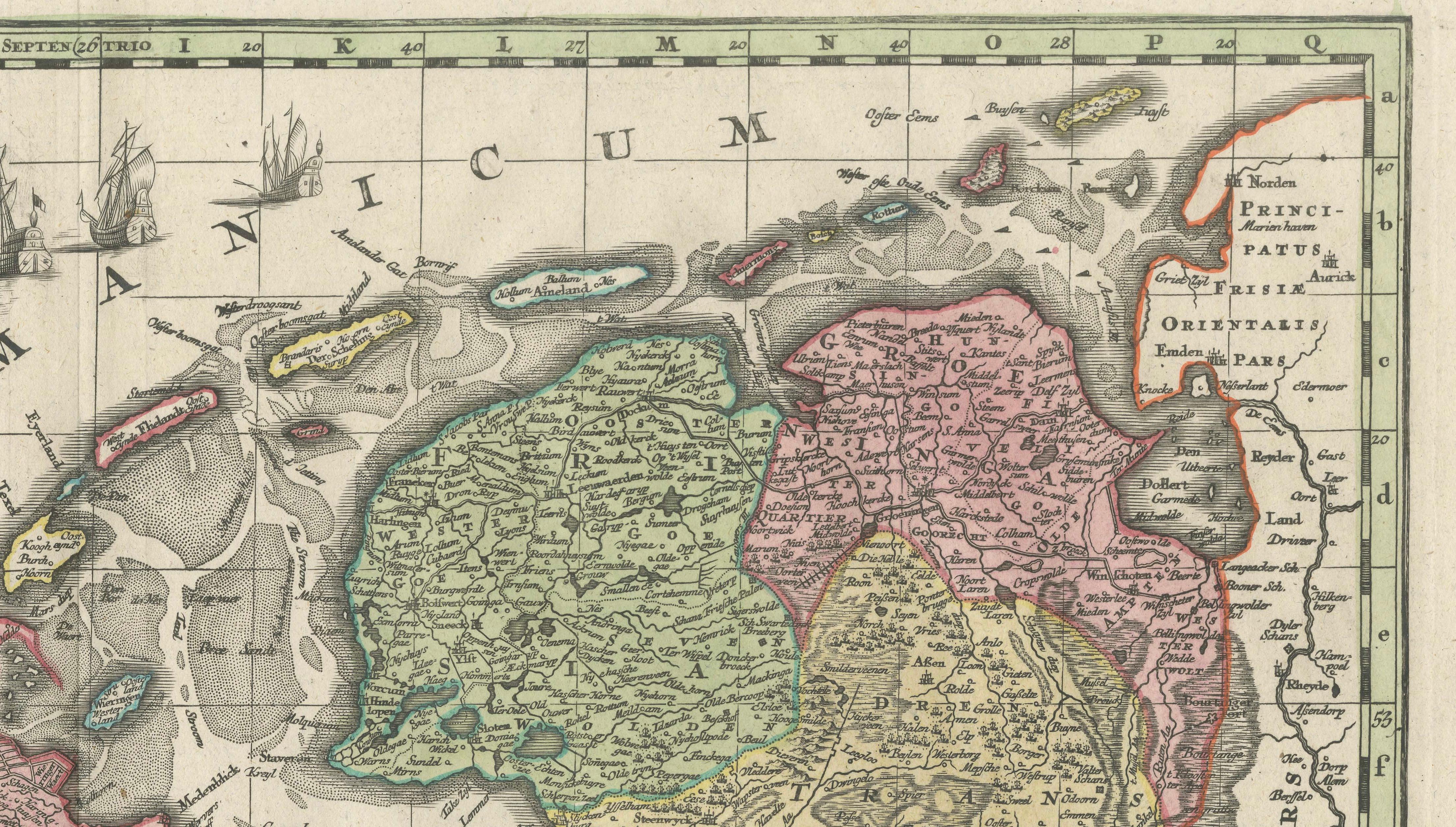
The main map presents the northern Netherlands in exceptional detail, clearly delineating provincial borders, major cities, rivers, and waterways. The geography reflects the Dutch Republic as a sovereign entity, emphasizing its unity and independence. Original outline hand coloring enhances the visual clarity of the provinces and gives the map strong decorative appeal, particularly when viewed at wall scale.
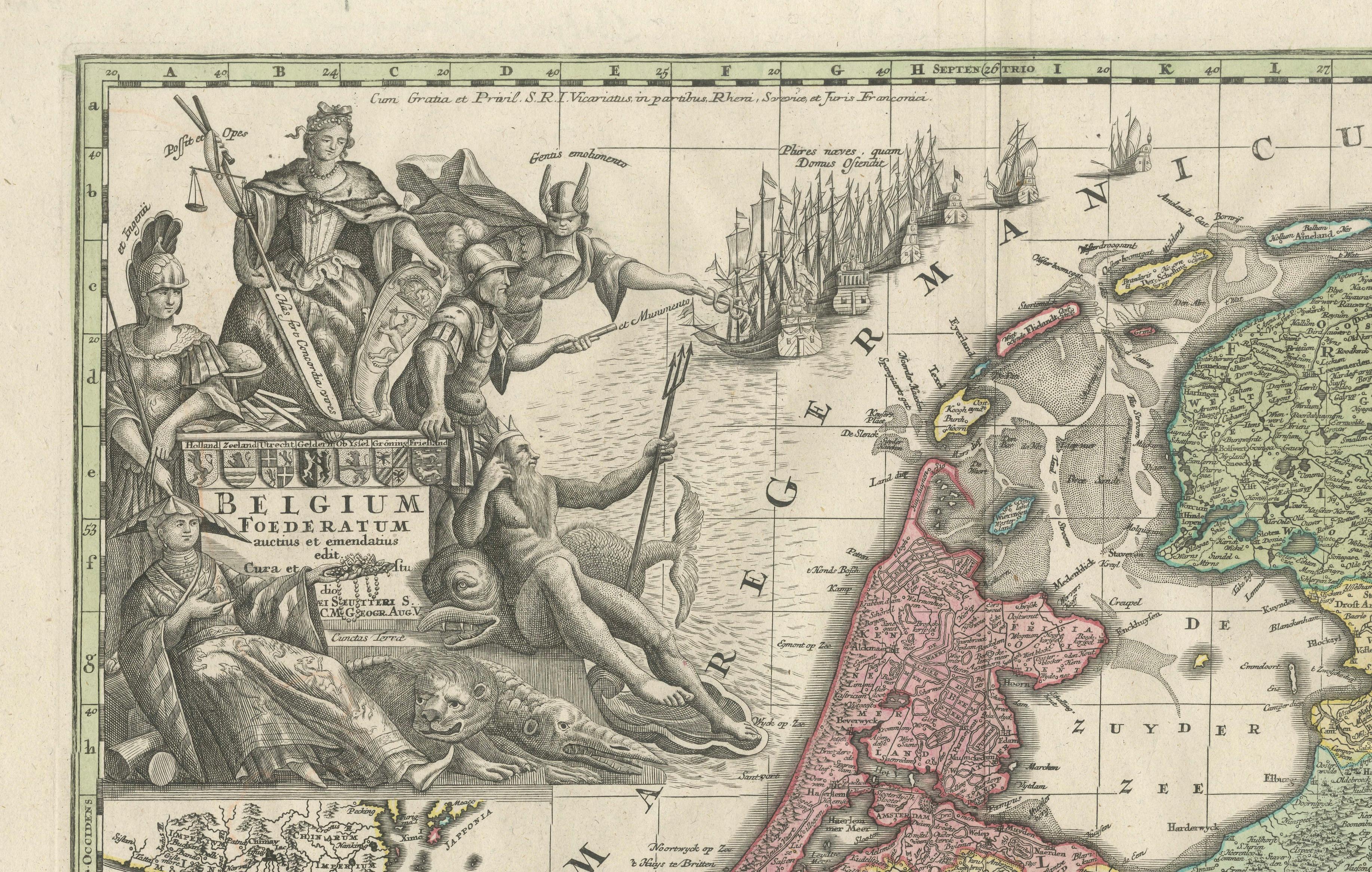
A richly engraved allegorical title cartouche occupies a prominent position and features the coat of arms of the Seven United Provinces, surrounded by symbolic figures representing authority, prosperity, and statehood. This elaborate cartouche is a hallmark of Seutter’s work and elevates the map from a purely geographic document to a statement of political identity and national pride.
Of particular interest are the inset maps. One inset focuses on the region of Limburg, while another traces the Dutch maritime trade route to the East Indies, illustrating the global reach of the Dutch Republic. This route map encompasses key regions including India, Indonesia, China, and Japan, visually reinforcing the importance of overseas trade and colonial networks in Dutch economic dominance. The inclusion of the East Indies makes this map especially relevant for collectors and interiors with a connection to Dutch colonial or Asian history.
Engraved on copper and printed with fine precision, this map exemplifies the high technical and artistic standards of Augsburg mapmaking in the early 18th century. Today, it is sought after not only by collectors of Dutch and European cartography, but also by interior designers looking for a large, historically rich wall map with strong decorative presence and global narrative.
Condition report:
Original copper engraving with original outline hand coloring. Light, even age toning throughout. Minor spotting and handling marks consistent with age. Central fold as issued. Margins generally ample. Overall in good, attractive condition.
Framing tips:
This map is ideally framed in dark walnut, antique black, or ebonized wood with a wide ivory or linen-toned mat. Museum or UV-filtering glass is recommended. Particularly effective as a statement piece in a study, library, or refined modern interior.
Technique: Copper engraving with original hand coloring
Maker: Matthaeus Seutter, Augsburg, early 18th century