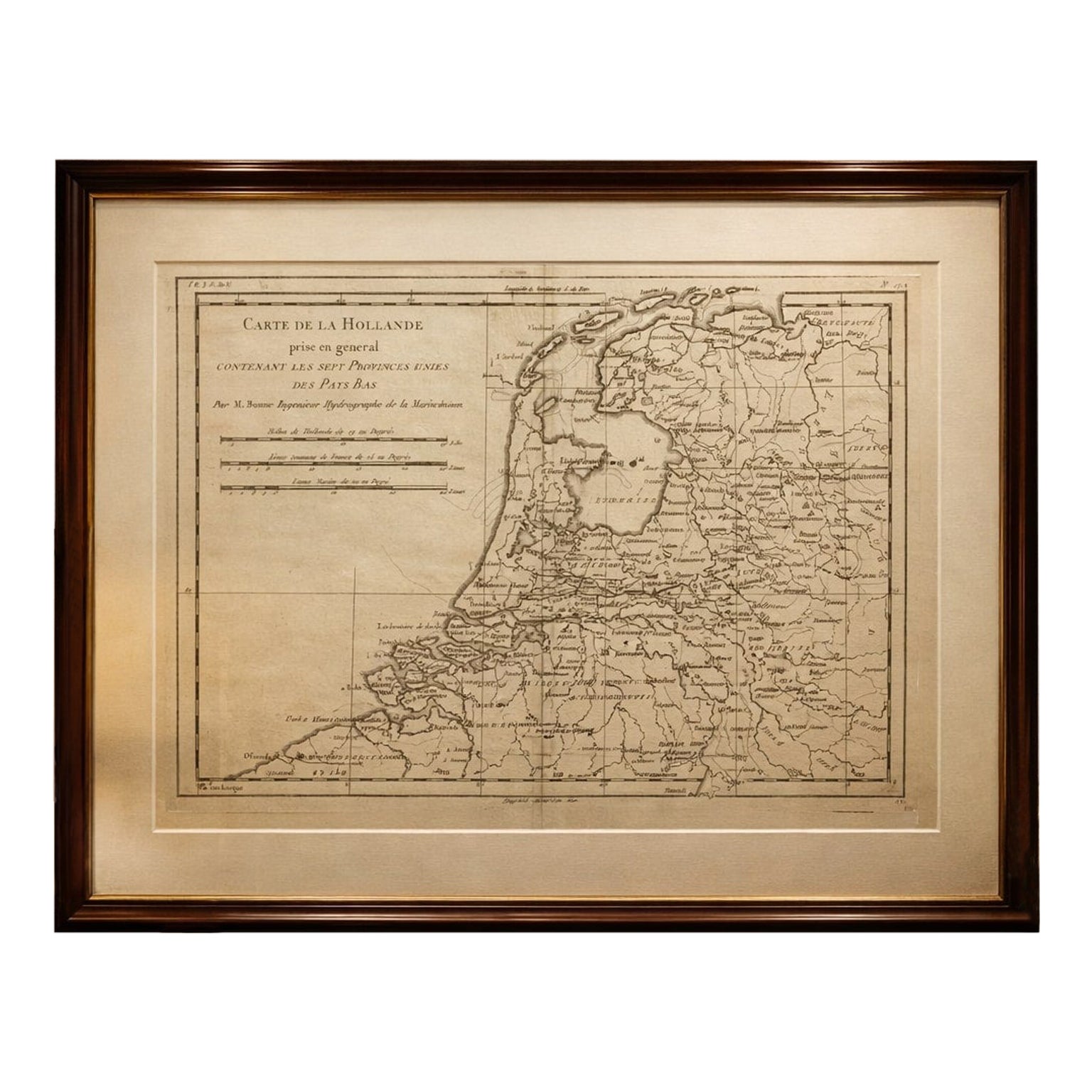
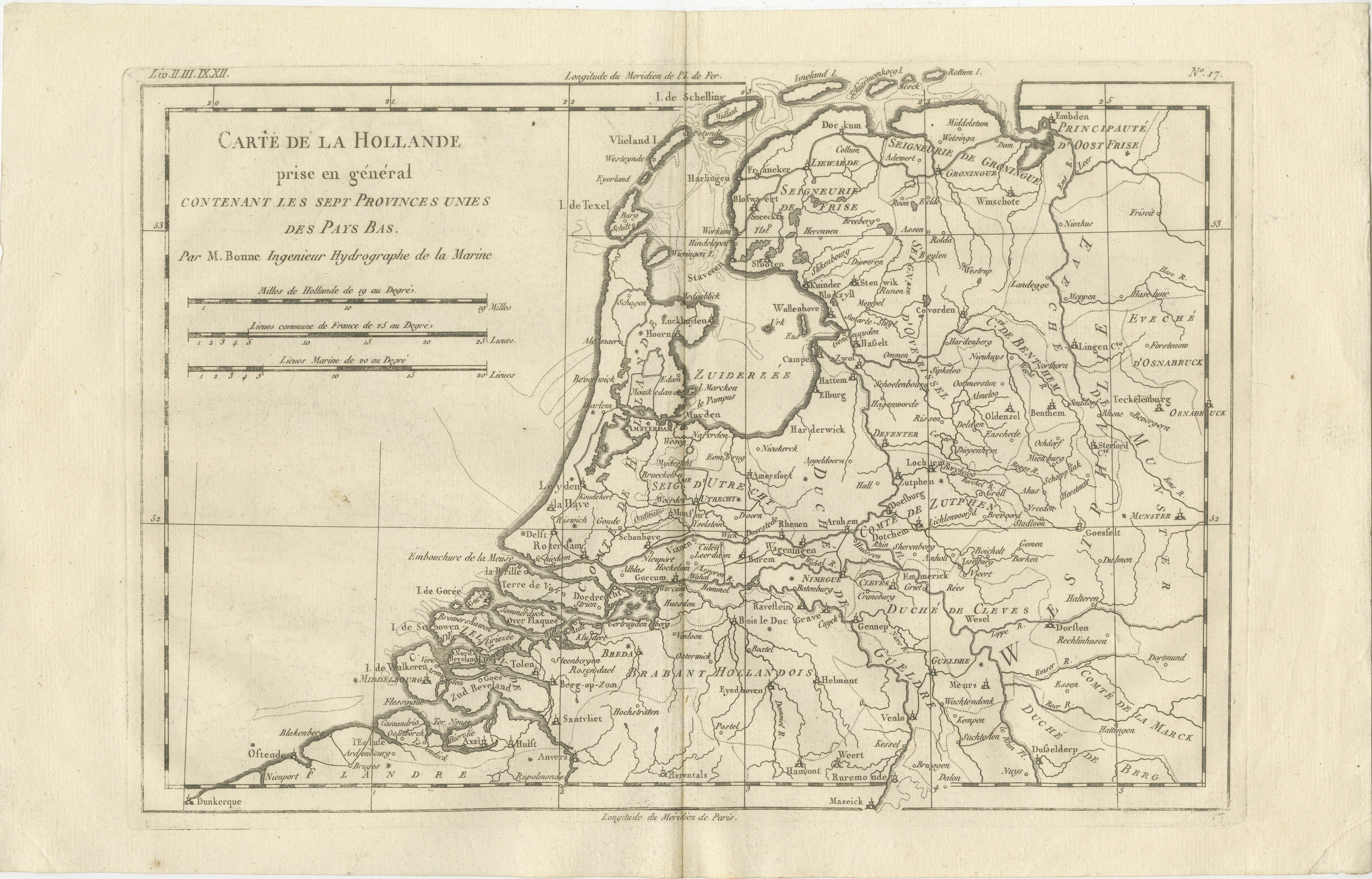
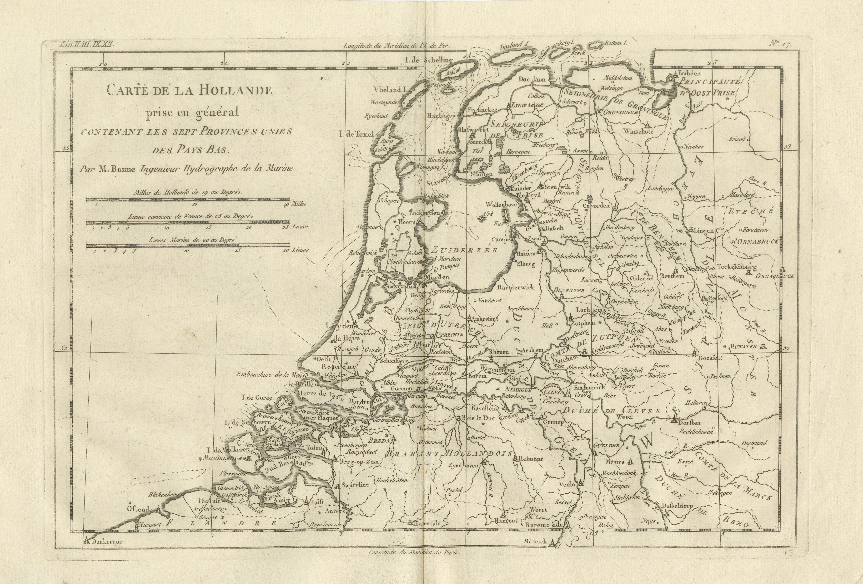
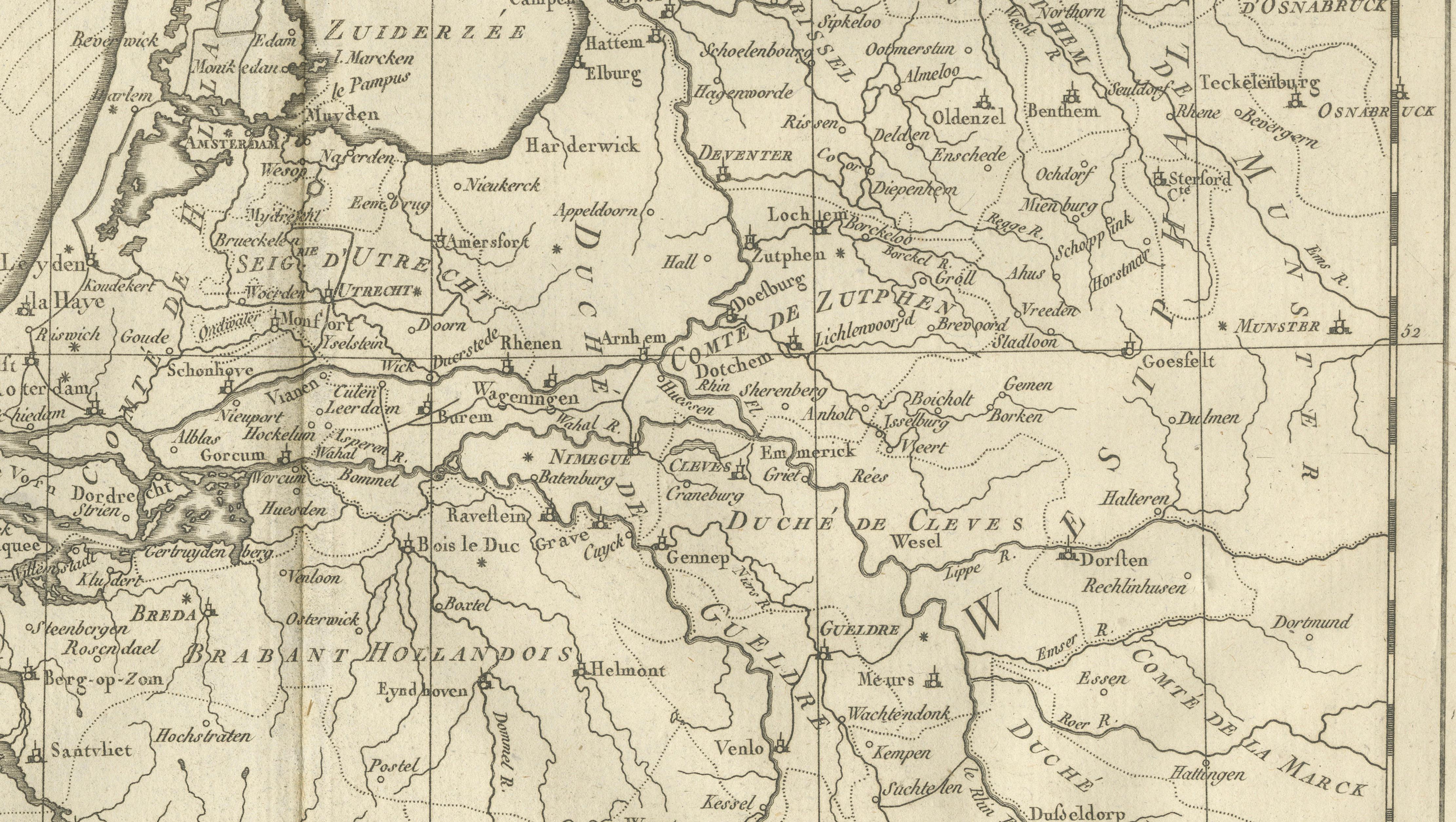
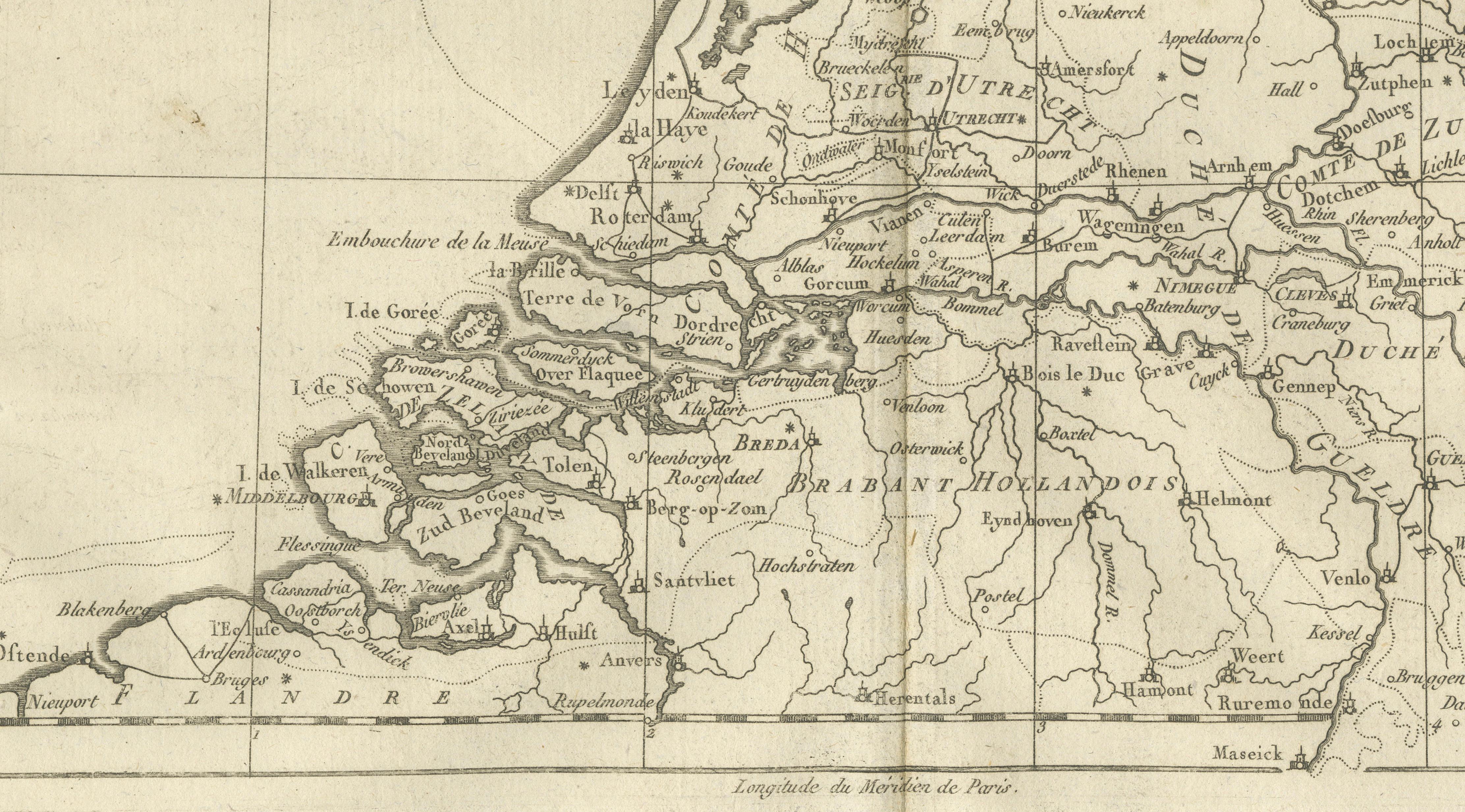
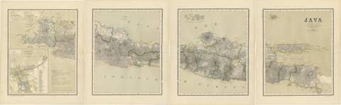
The Netherlands – Seven United Provinces Map, Bonne c1780
€ 270
One of a kind: this is the sheet in the photographs. Ships from Langweer, the Netherlands.
Sheet size
26 × 41 cm (10.2 × 16.1 in)
Condition
Good
Reference
BG-14105-17
Condition
Very good antique condition. Light age toning, original fold, clean margins. The map is offered unframed, preserving the sheet in its original, untouched state.
About this sheet
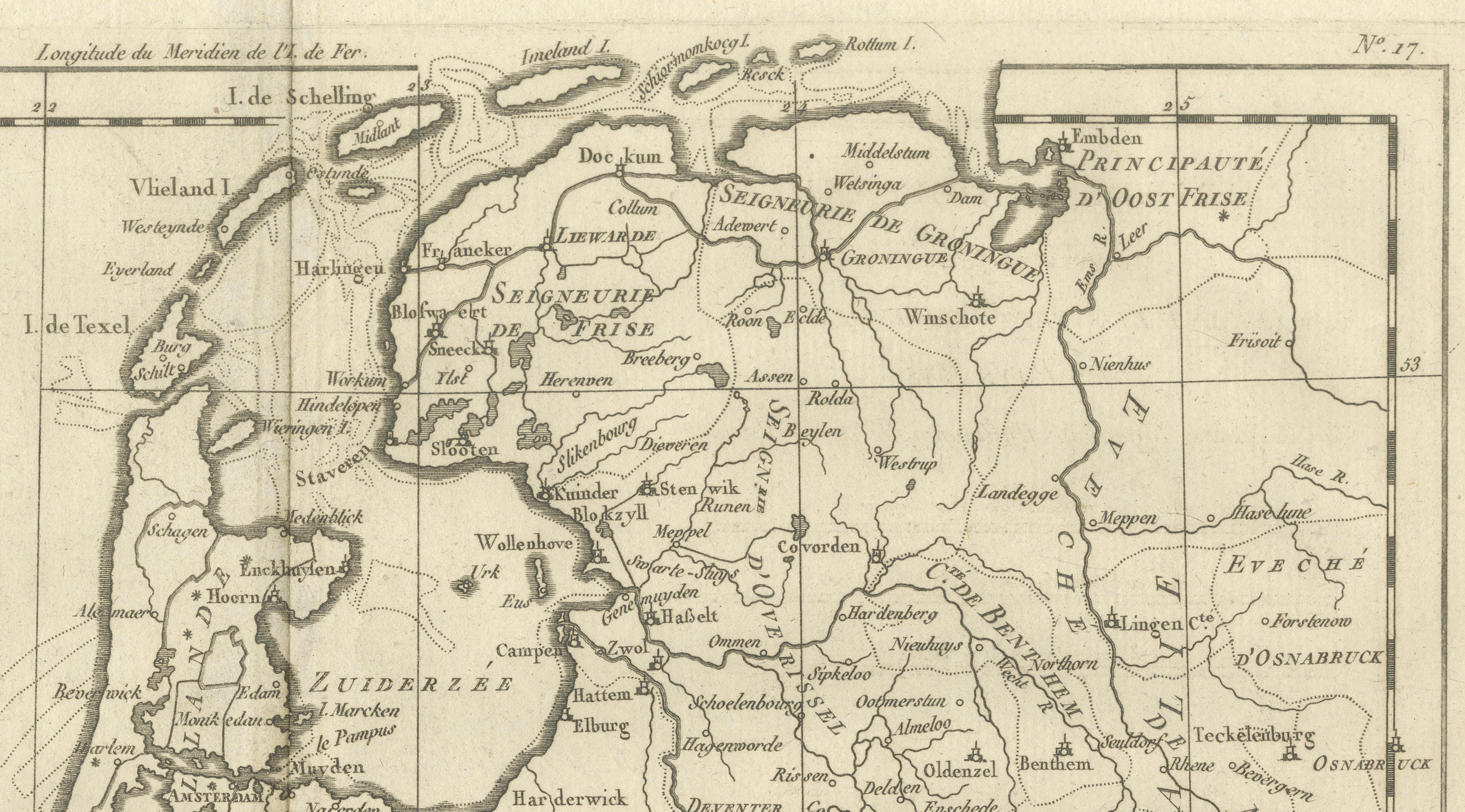
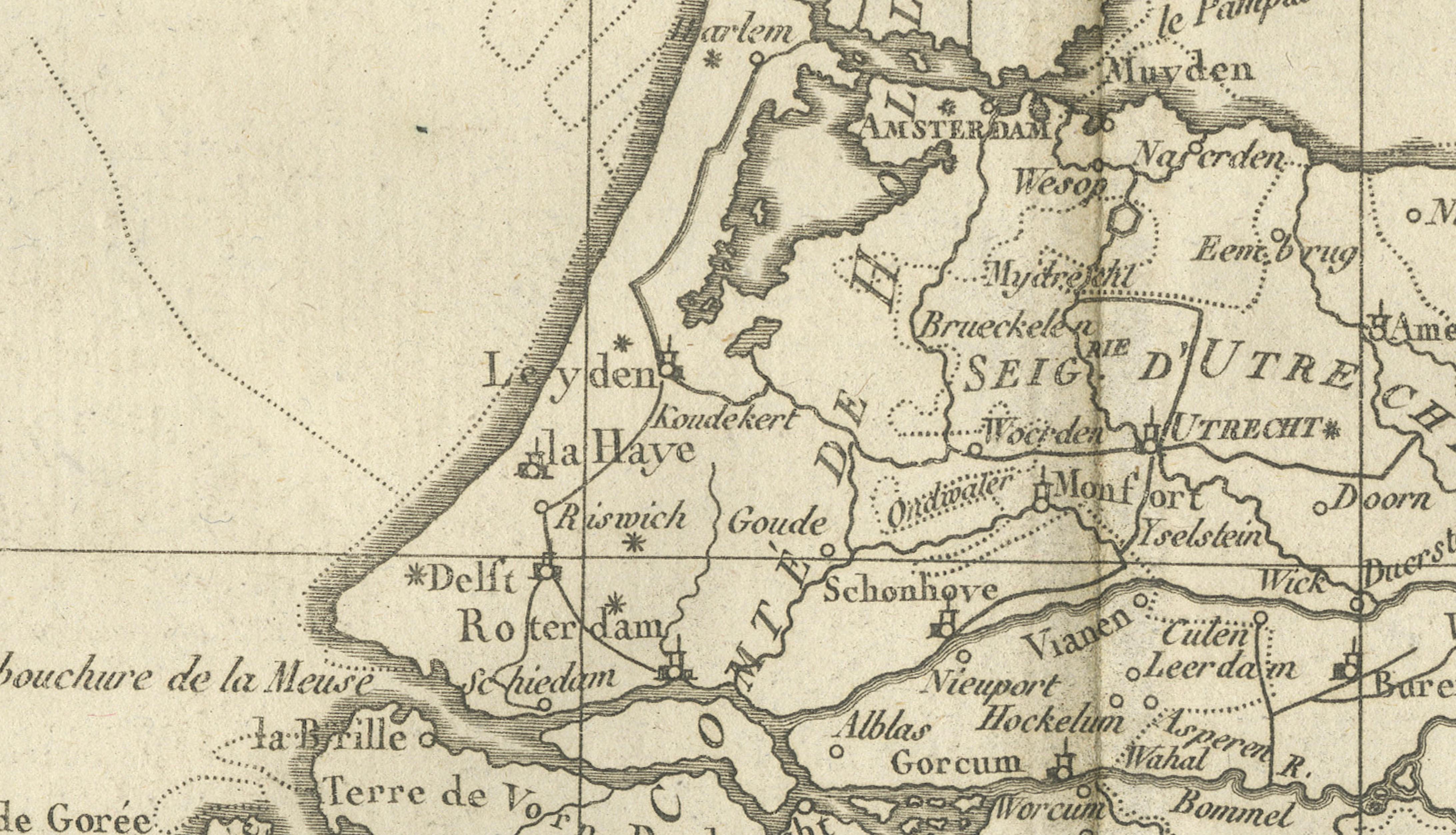
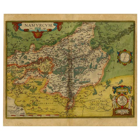
The Netherlands – Seven United Provinces Map, Bonne c1780 This detailed map of the Dutch Republic shows the Seven United Provinces with dense networks of rivers, towns, and political boundaries. Rigobert Bonne captures the hydraulic landscape that defined the Netherlands, emphasizing waterways and reclaimed land. The map is both historically informative and visually refined, appealing to collectors of Dutch history and European cartography.
The map is offered unframed, preserving the sheet in its original, untouched state.
Condition: Very good antique condition. Light age toning, original fold, clean margins. Framing tips: Natural wood frame with a soft gray or ivory mat for a classic European look.
Keywords: Netherlands map, Dutch Republic, Seven Provinces, antique Holland map, European cartography, Rigobert Bonne
Technique: Copper engraving Maker: Rigobert Bonne, France, circa 1780