About this sheet
Antique Map of Drenthe – J. Kuijper Provincial Atlas, Zwolle 1908
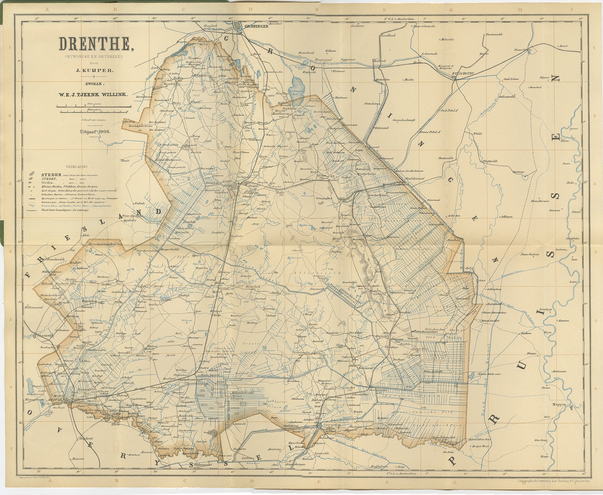
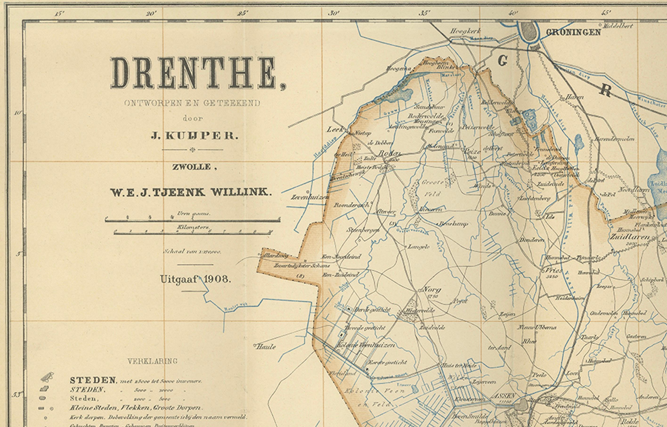
This finely engraved antique map presents the Dutch province of Drenthe as drawn by J. Kuijper and published by W\.E.J. Tjeenk Willink in Zwolle in 1908. It belongs to the celebrated series of Dutch provincial and municipal maps designed by Kuijper in the late 19th and early 20th century, prized for their accuracy, detail, and clear style.
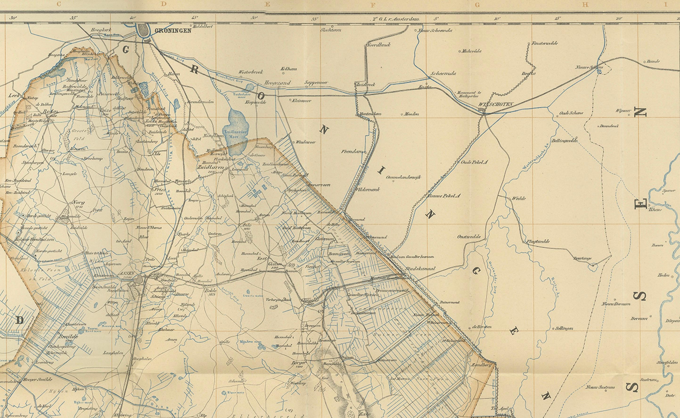
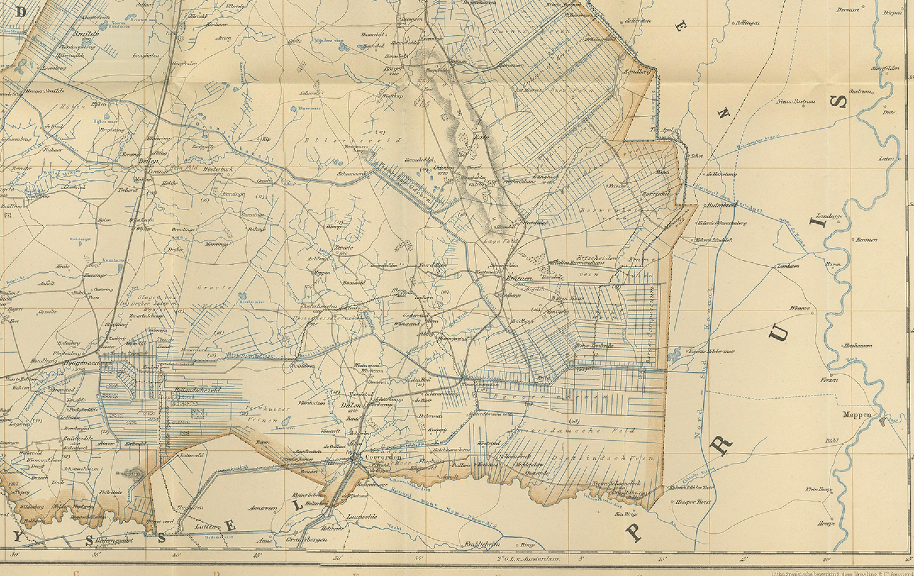
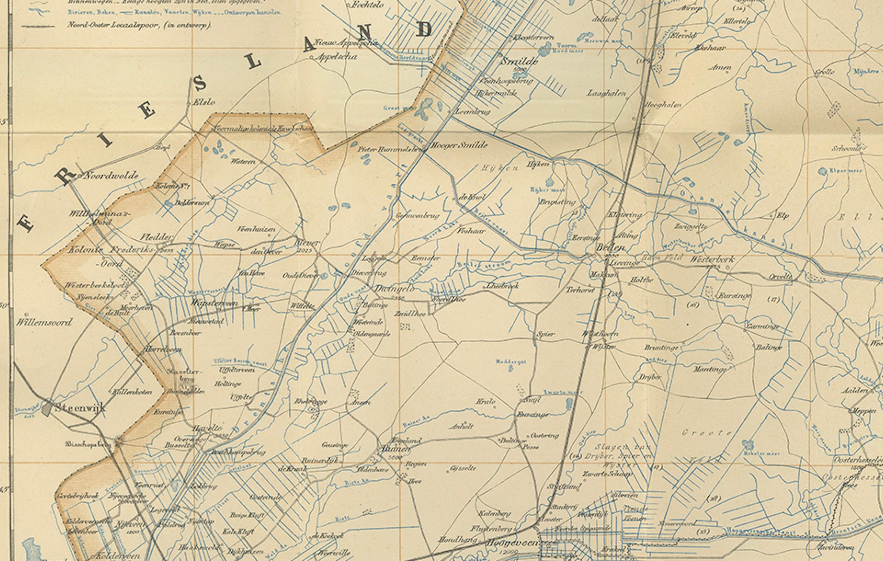
The map shows Drenthe in its entirety, bordered by Friesland to the west, Groningen to the north, Overijssel to the south, and Prussia (modern Germany) to the east. Its careful design captures the distinctive landscape of Drenthe at the time: a mixture of heathlands, peat colonies, canals, villages, and expanding towns. The major towns of Assen, Meppel, Hoogeveen, Coevorden, Emmen, and Zuidlaren are marked in strong type, while hundreds of smaller settlements, churches, and hamlets are meticulously engraved.
Waterways and canals are highlighted in blue, emphasizing the importance of drainage and transport in this province, historically rich in peat extraction and agriculture. Railways, a relatively modern feature in the early 20th century, are clearly delineated, linking Drenthe more closely with its neighboring provinces and Germany. The cartographic style follows Kuijper’s typical clarity: fine line work, pastel wash borders, and an elegant balance of typography and geographical detail.
This 1908 edition was part of a re-issue of Kuijper’s maps by Tjeenk Willink, a major publisher in Zwolle. Kuijper’s work, originally begun in the 1860s, became the standard reference for Dutch provincial and municipal geography, widely used in schools, libraries, and government offices. Maps like this serve as both scientific records and cultural artifacts, preserving the geography of Drenthe just before the large-scale modernizations of the 20th century.
Collectors of Dutch cartography will value this map not only for its historical accuracy but also for its decorative qualities. The title cartouche, clear border design, and well-proportioned layout make it suitable for framing and display.
Condition: Good example with original center fold as issued. Some light toning along folds and margins, minor handling signs, but overall clean and well-preserved with strong print and paper quality. Plate mark faintly visible, typical for maps of this period.
Framing tips: This map would present beautifully in a classic wooden or dark-stained frame, ideally with a cream or light beige mat to enhance the subtle coloring of the border and waterways. A double mat with an inner dark blue or grey accent would emphasize the engraved detail and add depth when displayed.
Technique: Engraving with original outline hand-color
Maker: J. Kuijper, published by W\.E.J. Tjeenk Willink, Zwolle, 1908