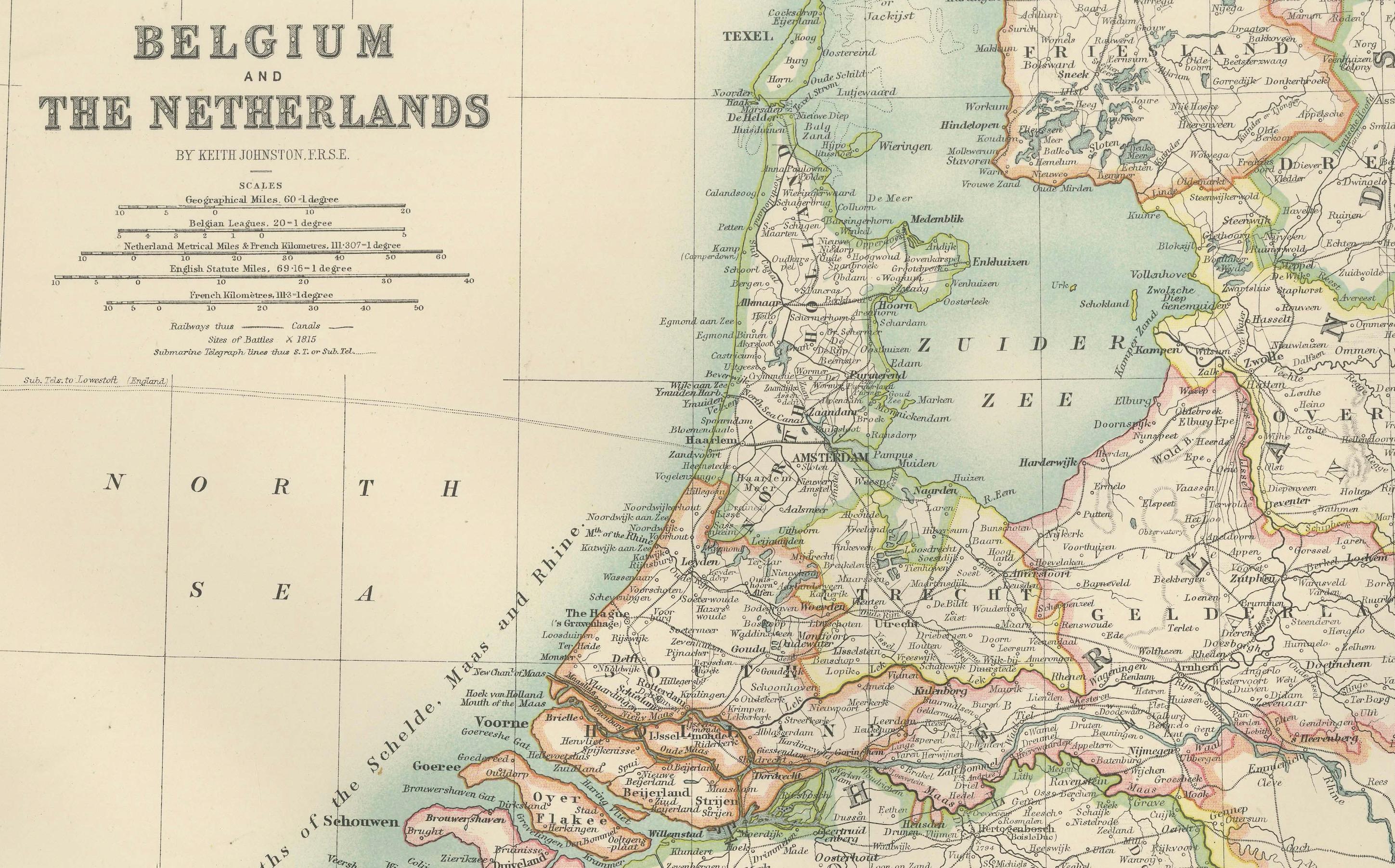
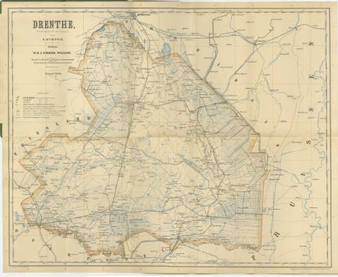
Antique Map of Belgium and The Netherlands with Delicate Pastel Coloration, 1903
€ 180
One of a kind: this is the sheet in the photographs. Ships from Langweer, the Netherlands.
Date
1903
Sheet size
48 × 36.8 cm (18.9 × 14.5 in)
Condition
Good
Reference
BG-13577-14
Condition
The map is in very good antique condition, with minor age-related foxing and slight edge toning typical for its vintage. The colors remain vibrant and the paper is stable and well-preserved. Folding line as issued.
About this sheet
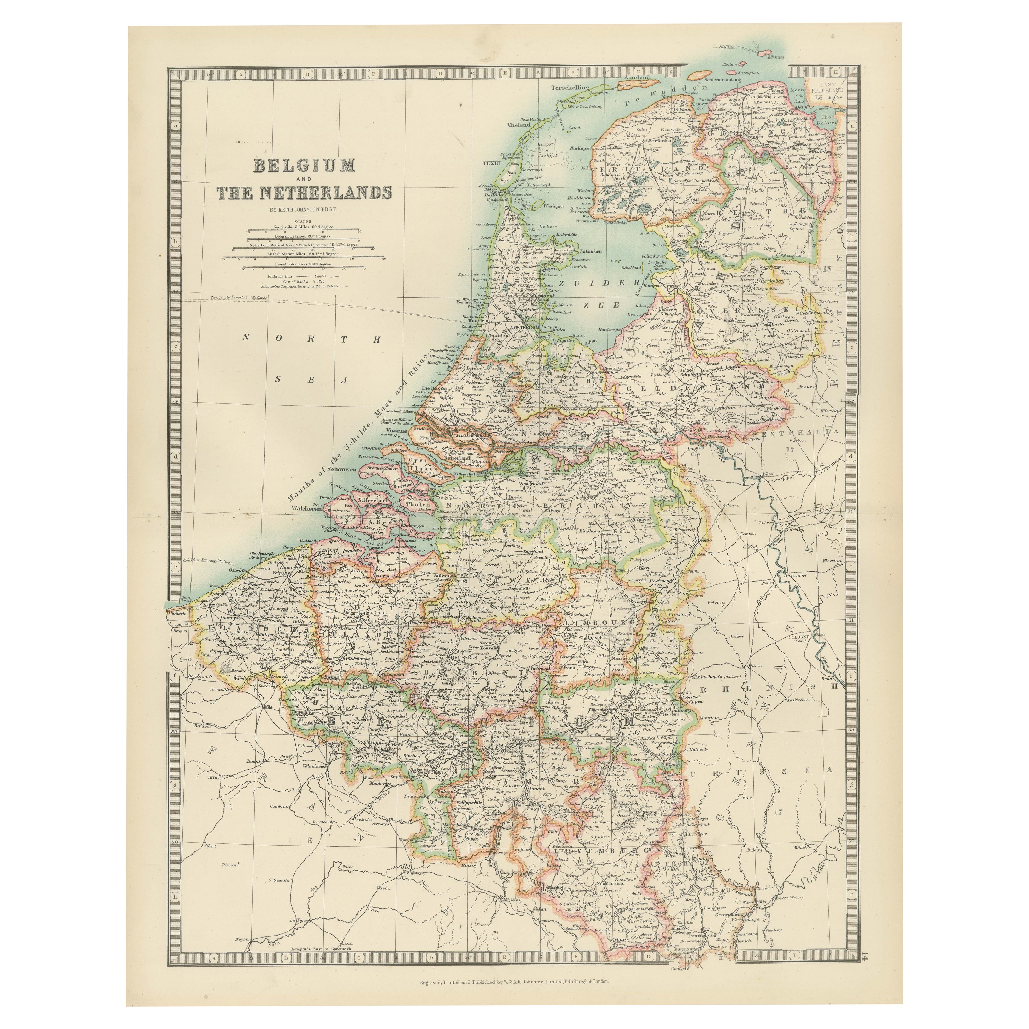
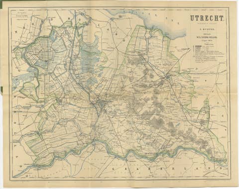
Antique Map of Belgium and The Netherlands, 1903, with Delicate Pastel Coloration
This antique map, titled "Belgium and The Netherlands," was engraved and published in 1903 by the distinguished cartographic firm W. & A.K. Johnston in Edinburgh and London. It presents a beautifully detailed and colored depiction of Belgium and The Netherlands, highlighting the intricate political and geographical landscape of these two countries during the early 20th century.
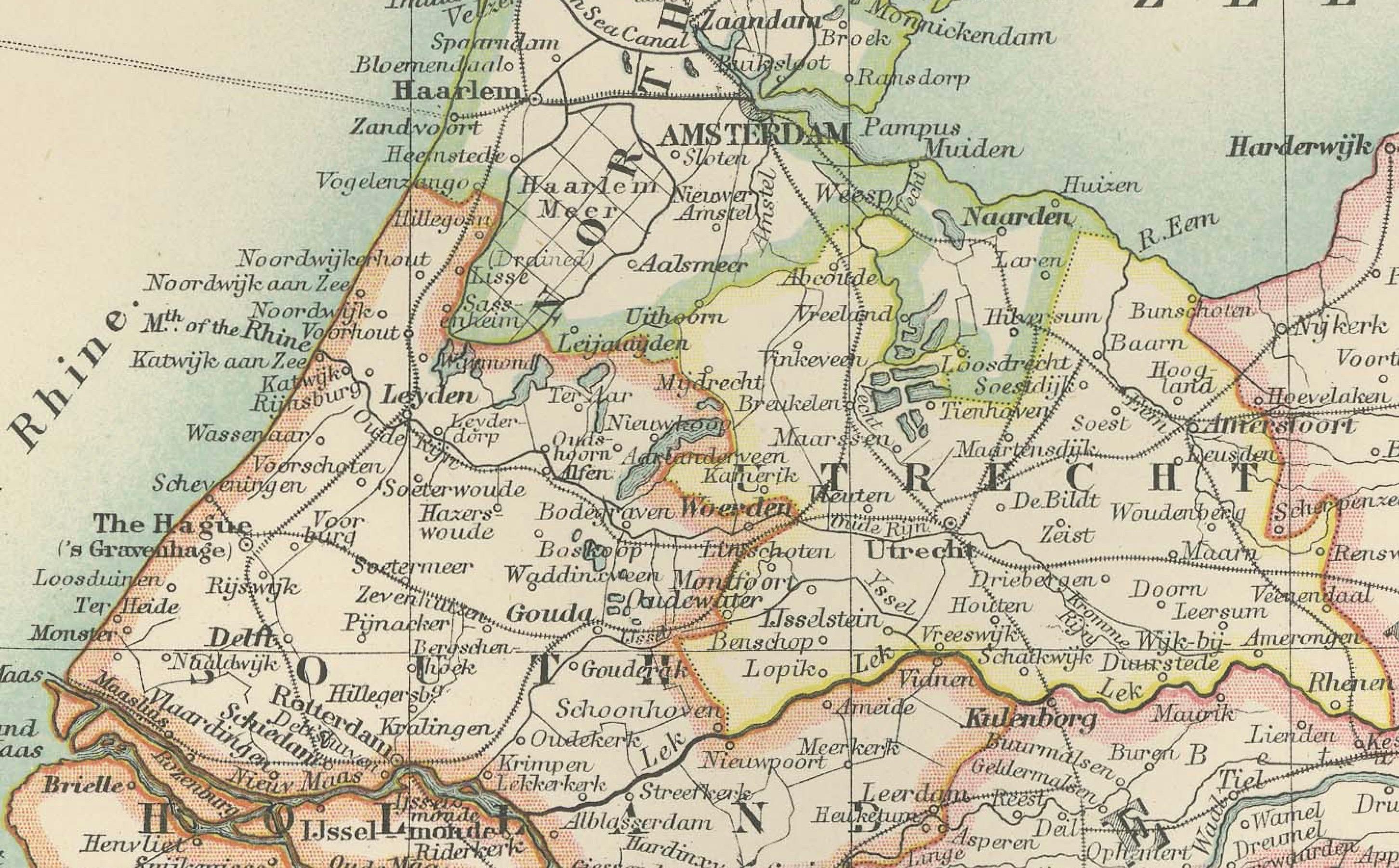
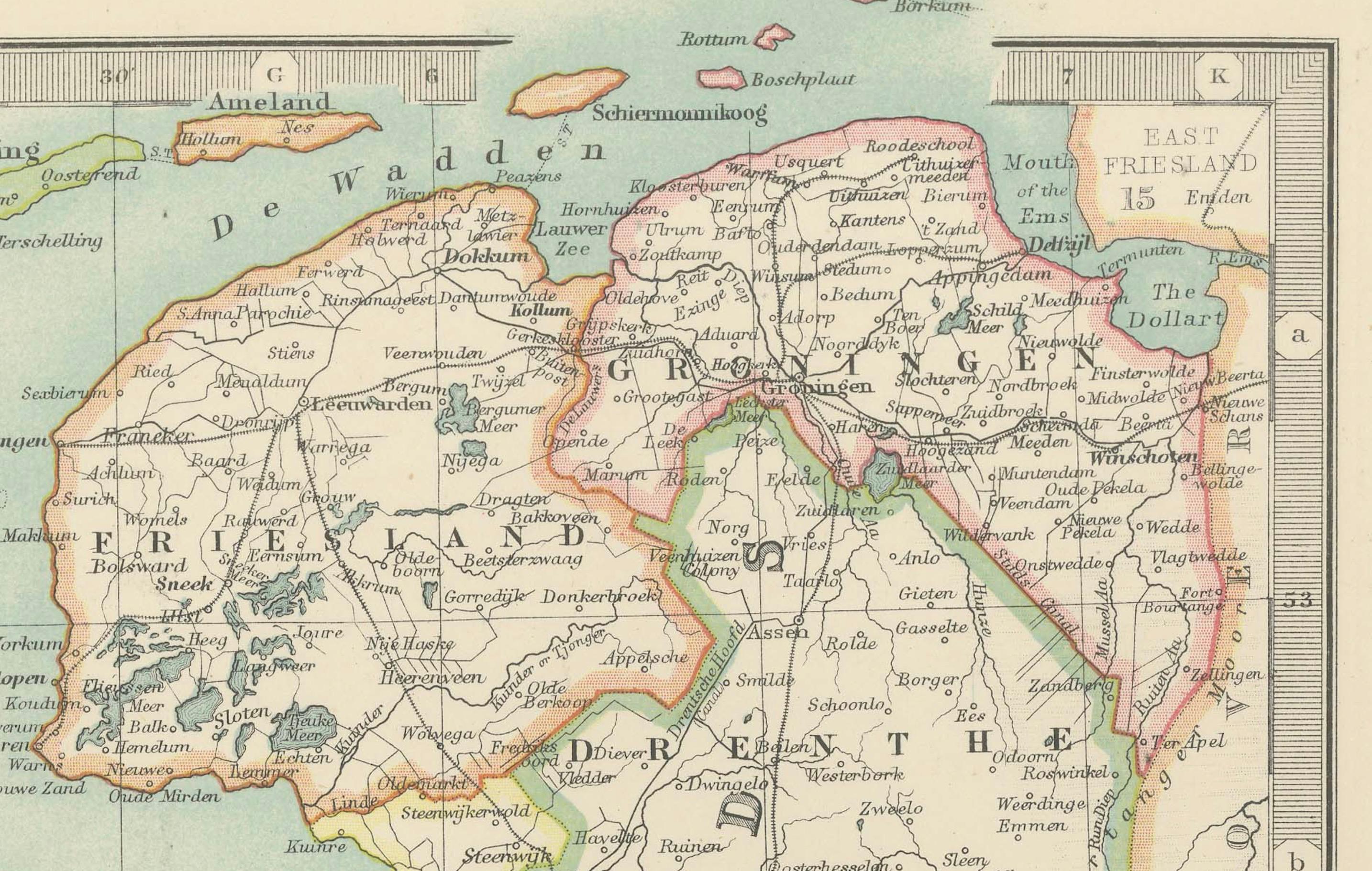
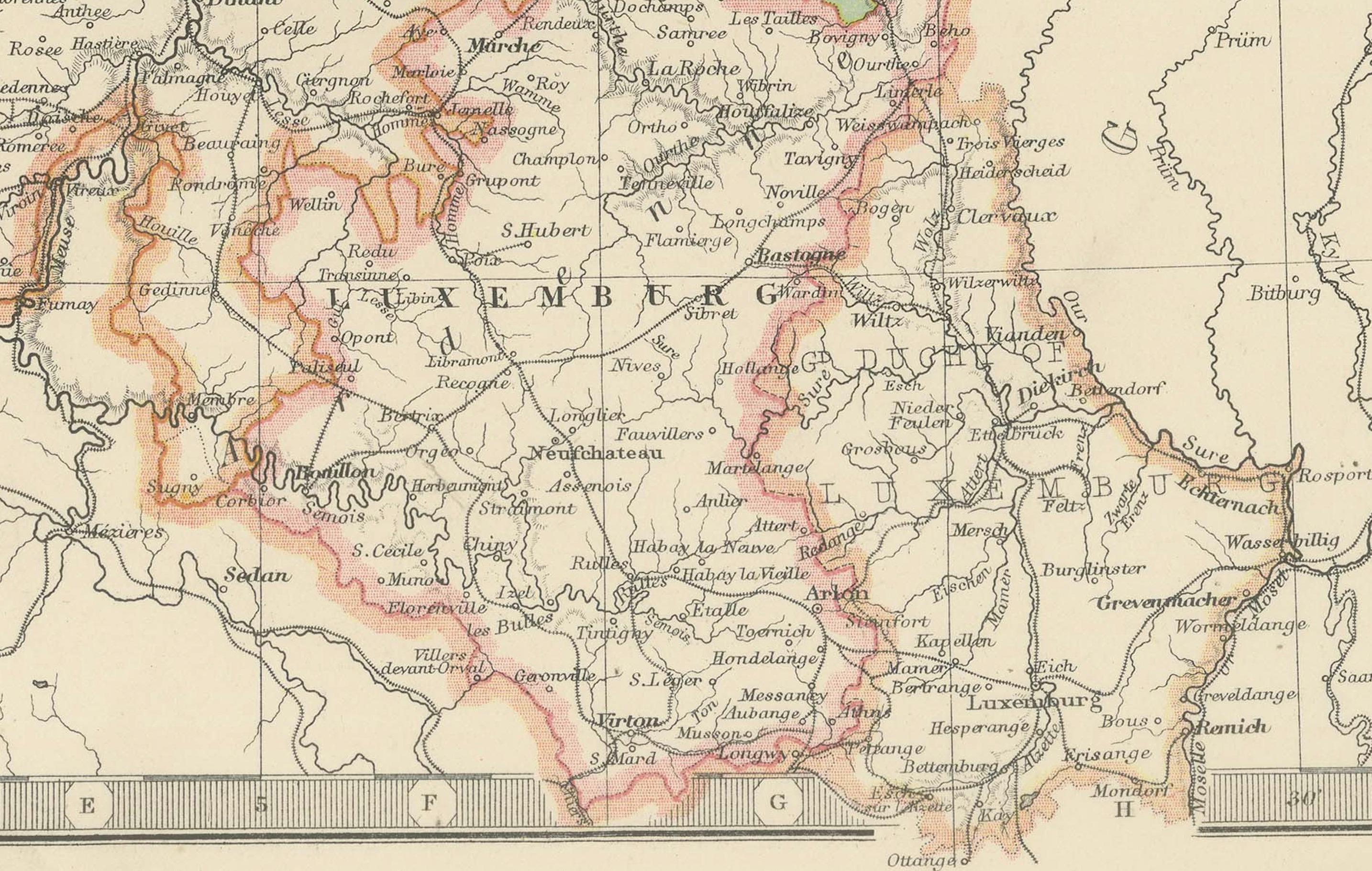
The map is delicately hand-colored in soft pastel shades—green, pink, yellow, and blue—to delineate the boundaries of provinces and major cities. The clear typography and precise engraving bring out the detail of rivers, railways, and cities, offering an authentic look at the region’s infrastructure and connections at a time of dynamic industrial and social change.
This map covers the entire region, including the Dutch coastlines, the inland waterways, and the densely populated heartlands of Belgium. It offers insight into a time when both countries were undergoing significant economic growth, shaped by their rich trade histories and their strategic positions at the crossroads of Europe.
For collectors and lovers of European history, this map is more than a decorative piece. It captures the historical geography of an era that saw Belgium and The Netherlands play key roles in international trade and cultural exchange. It also reflects the exceptional quality of Johnston’s cartographic artistry.
Condition report: This map is in very good antique condition, with only slight age-related toning and minor foxing around the edges. The colors remain vibrant and the paper well-preserved.
Framing tips: A classic wooden frame in walnut or cherry adds warmth and a sophisticated feel. Use a cream or off-white matting to highlight the pastel colors and intricate detailing, creating a timeless and refined focal point in any room or office.