About this sheet
Antique Map of Drenthe & Overijssel – Sleeswijk Atlas, 1914
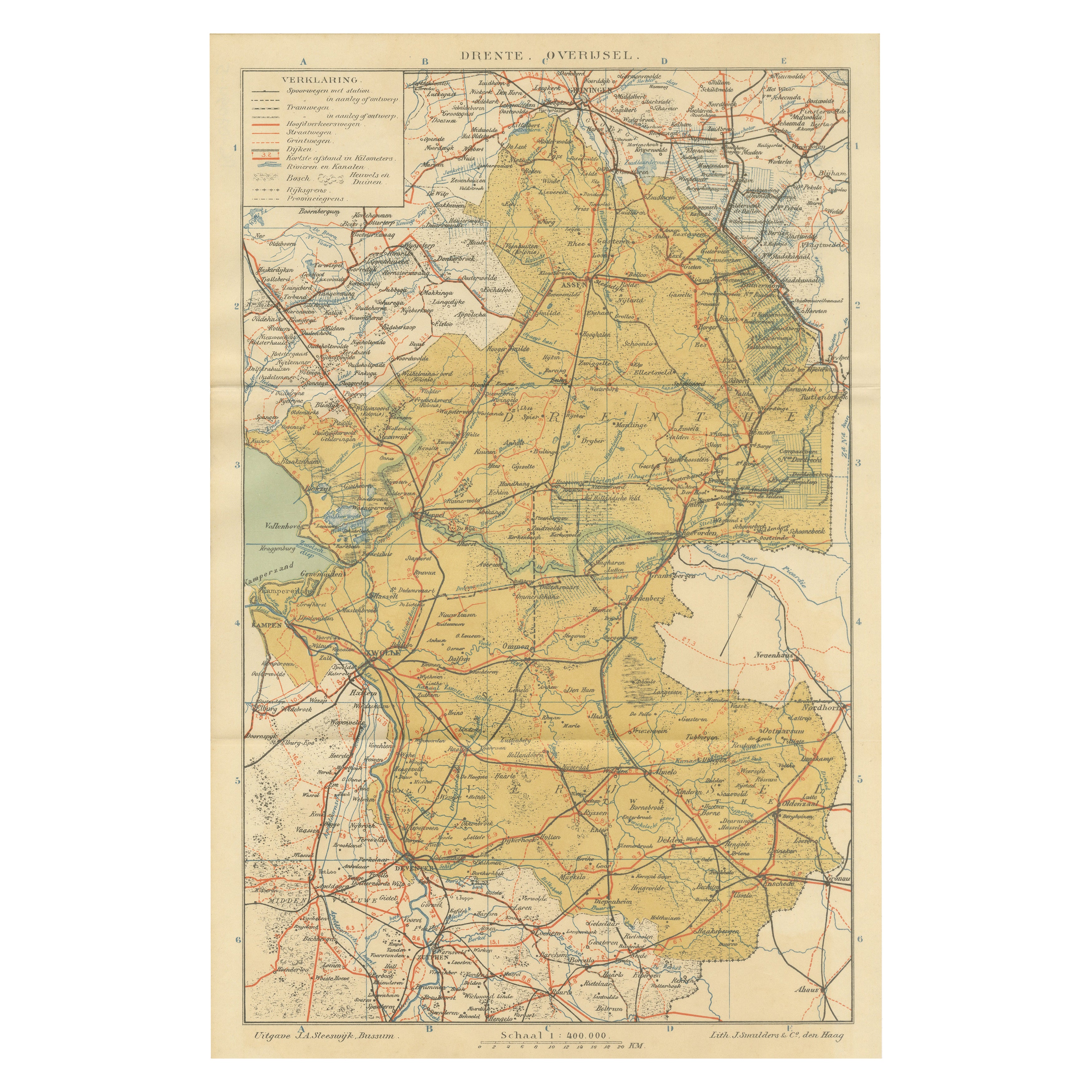
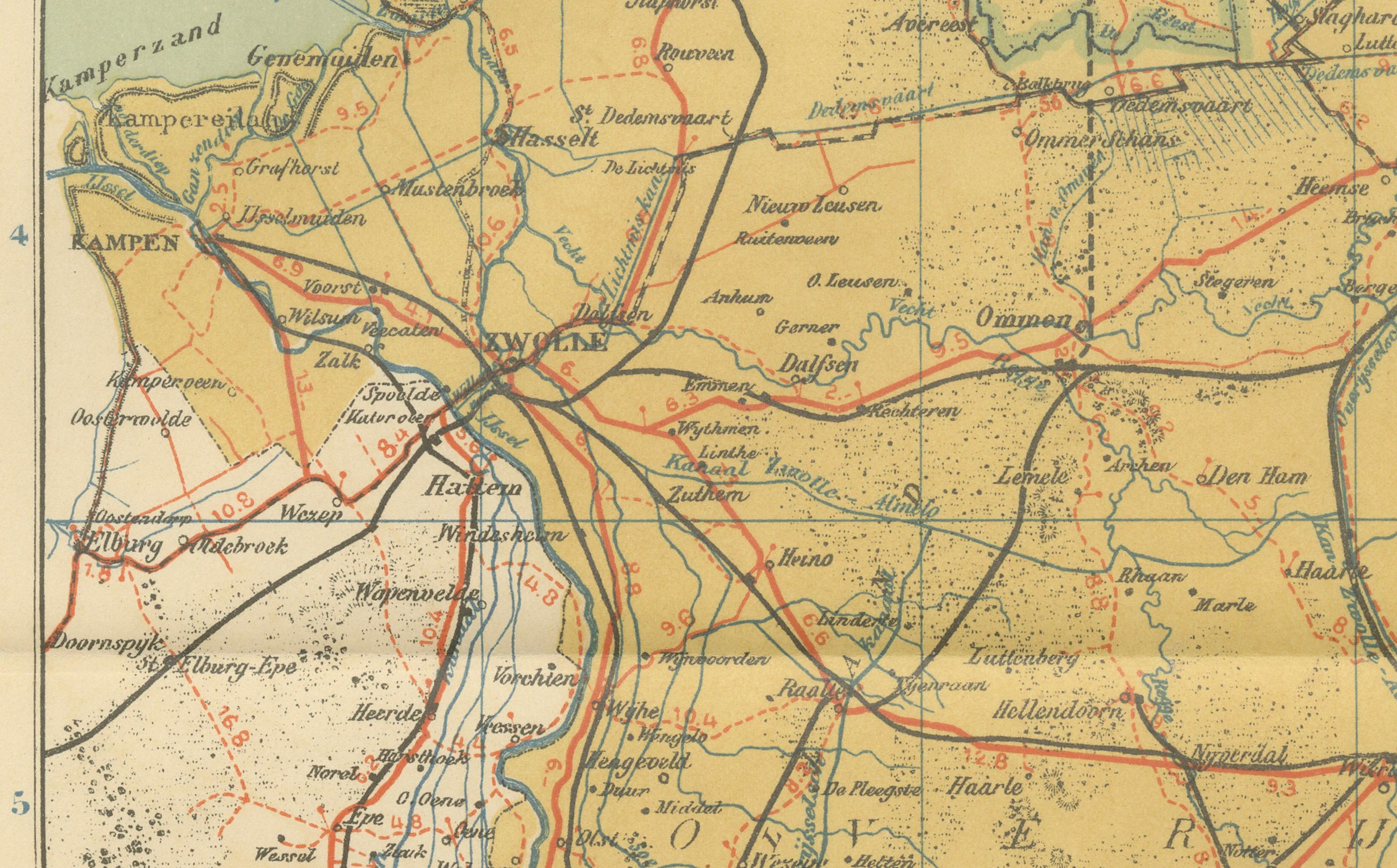
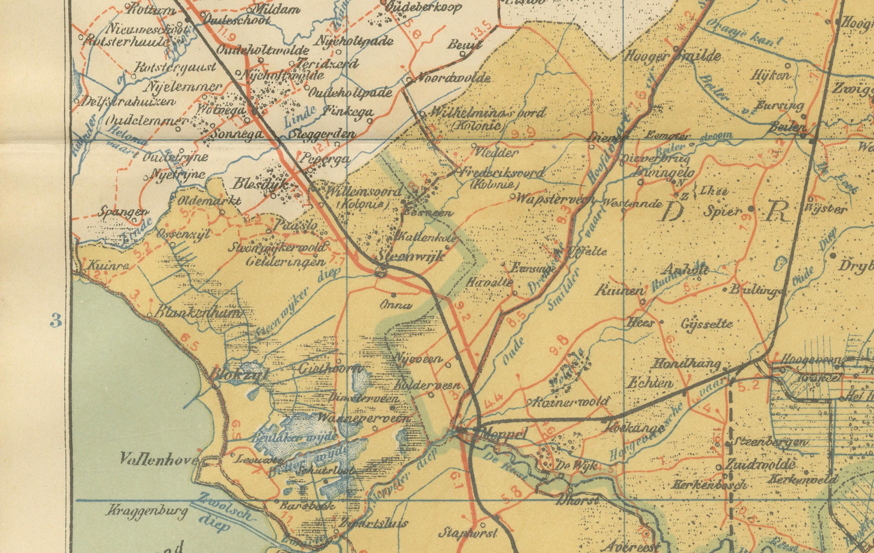
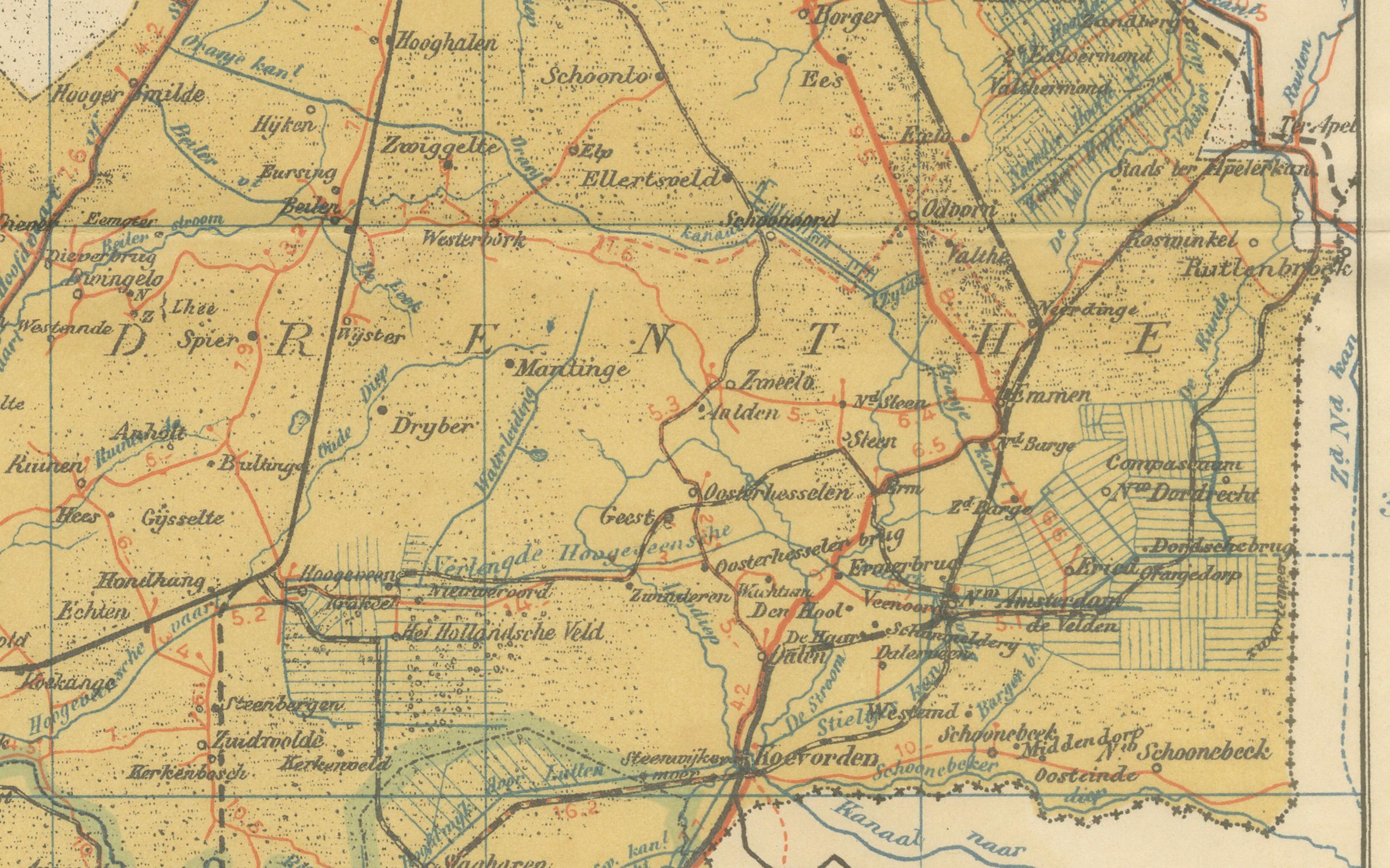
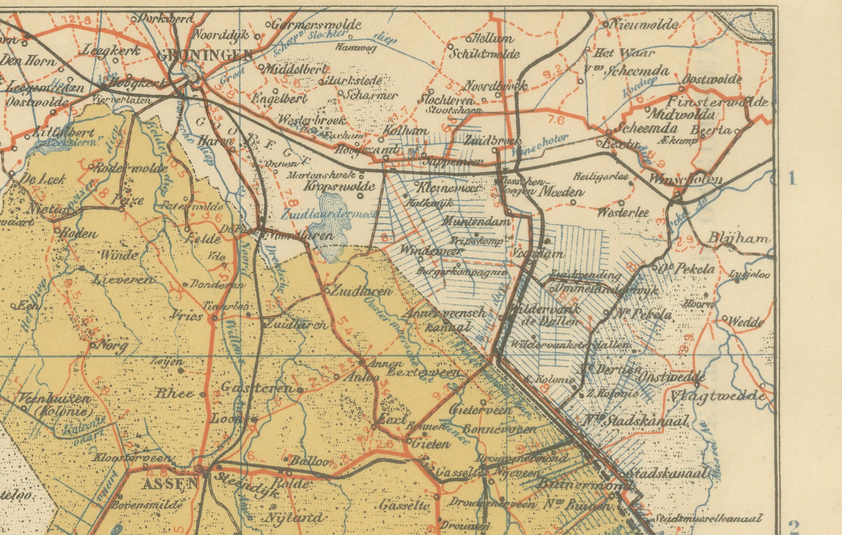
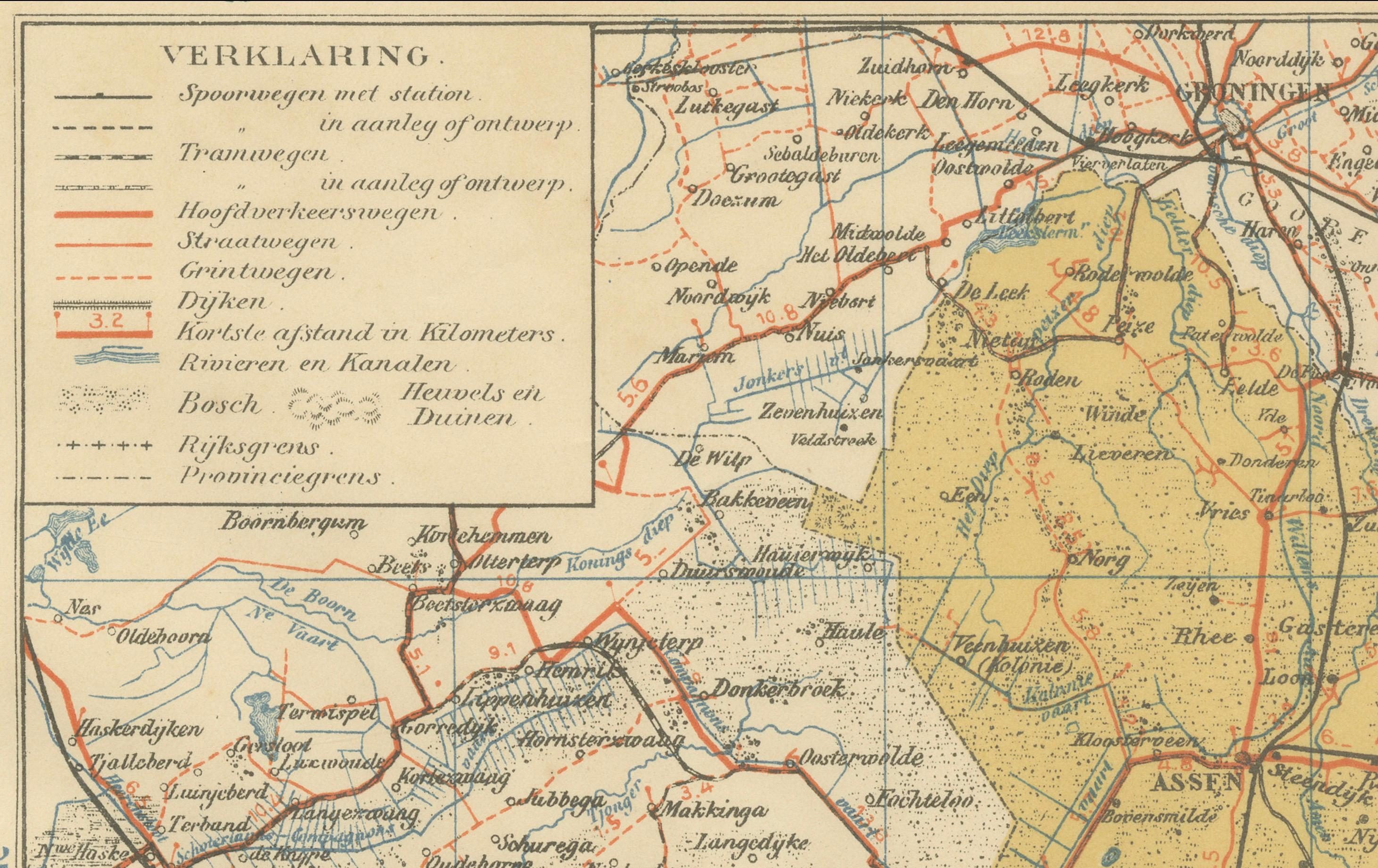
This antique map of Drenthe and Overijssel was published in 1914 in the Sleeswijk Atlas, a key Dutch school atlas of the early 20th century. It depicts two provinces in the northeastern Netherlands, each with distinct landscapes and historical character.
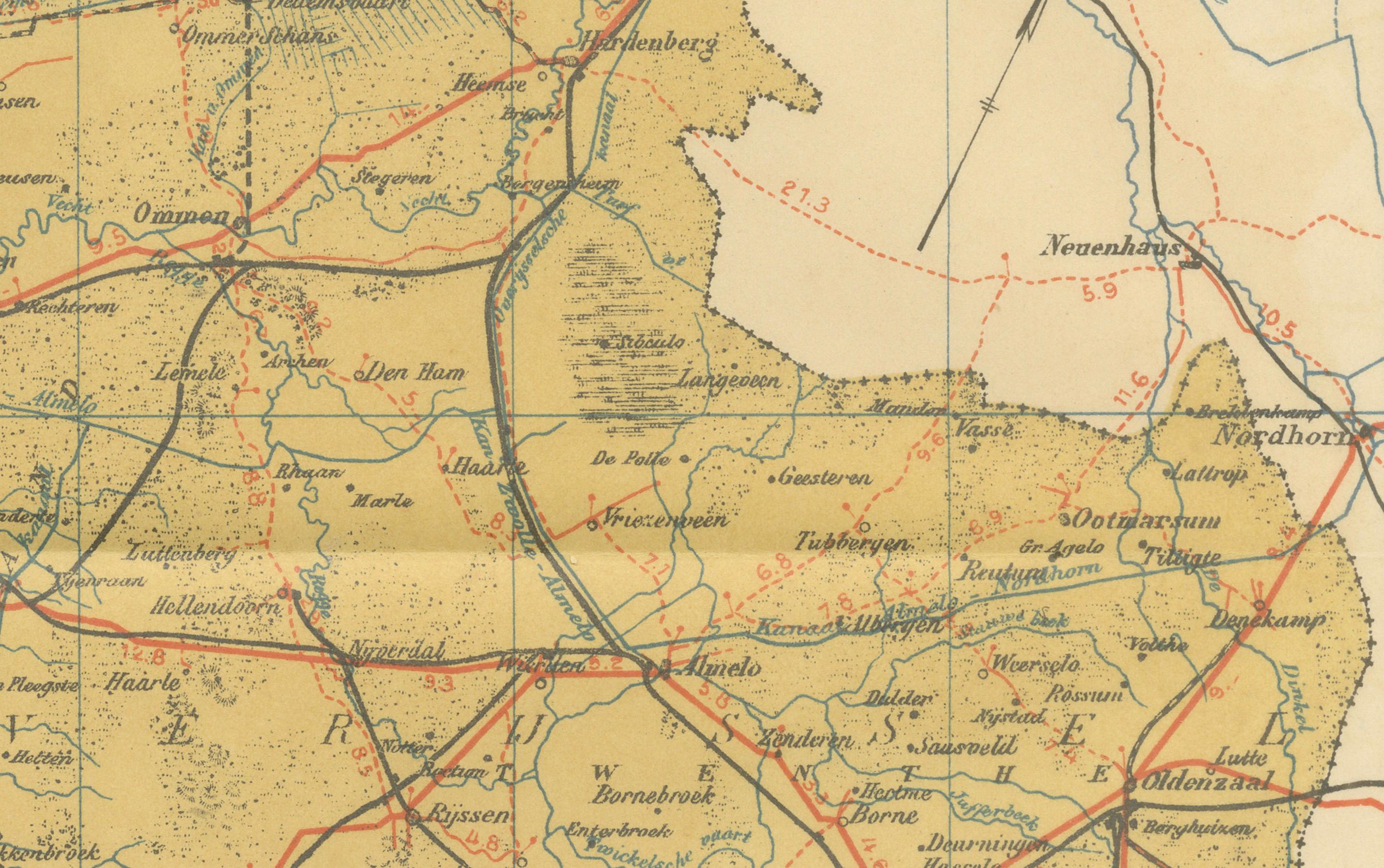
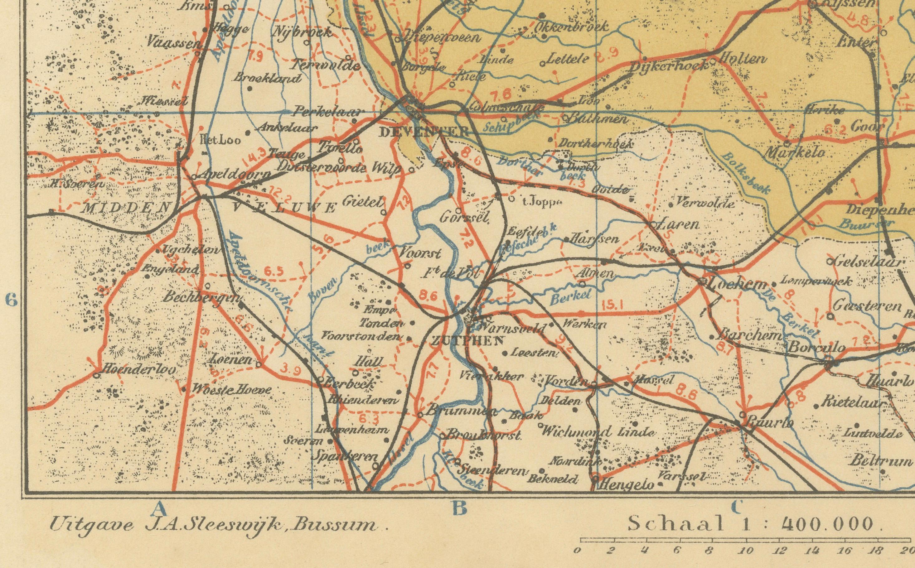
The map shows the rural province of Drenthe in detail, with its capital Assen and surrounding towns including Meppel, Hoogeveen, Coevorden, and Emmen. Known for its heathlands, peat bogs, and prehistoric megalithic tombs (hunebedden), Drenthe appears here as a sparsely populated yet agriculturally rich province. Overijssel, by contrast, is depicted with its larger towns such as Zwolle, Deventer, Almelo, and Enschede, as well as the historic Hanseatic trading cities along the IJssel River. The province’s river network, canals, and railway connections are clearly rendered, reflecting its economic importance during the early 20th century.
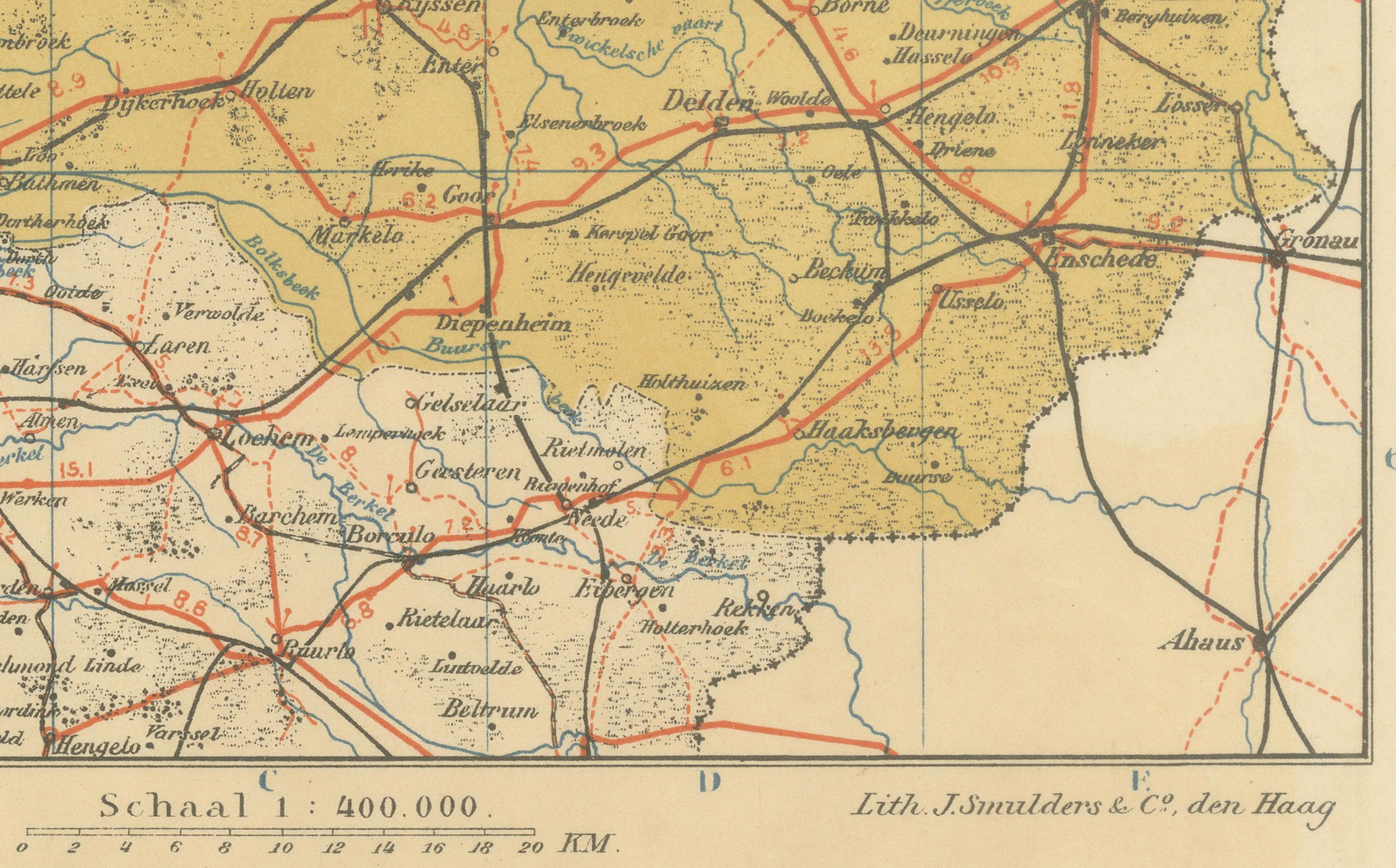
The legend (“Verklaring”) provides symbols for railways, tramways, major and secondary roads, waterways, and boundaries. Red lines highlight the rapidly expanding railway system, which linked rural towns to industrial centers. The map is drawn at a scale of 1:400,000, allowing both geographic clarity and educational precision.
Published by A. Sleeswijk in Bussum and lithographed by J. Smulders & Co. in The Hague, this map exemplifies the high-quality cartography of Dutch school atlases at the time. Printed in delicate tones of yellow, blue, and red, it was designed for classroom use but today stands as a decorative and historical record of Drenthe and Overijssel on the eve of World War I.
Condition report: Very good condition with original centerfold as issued. Minor age toning and light handling traces at the margins. Plate mark visible. Colors remain bright and well preserved.
Framing tips: A cream or pale ivory mat will bring out the soft coloring of the map. A slim dark wood or black frame provides a clean and timeless look, while a gilt frame adds a traditional accent that enhances the historical presentation.
Technique: Lithograph with original color
Maker: A. Sleeswijk, Bussum / J. Smulders & Co., The Hague, 1914