About this sheet
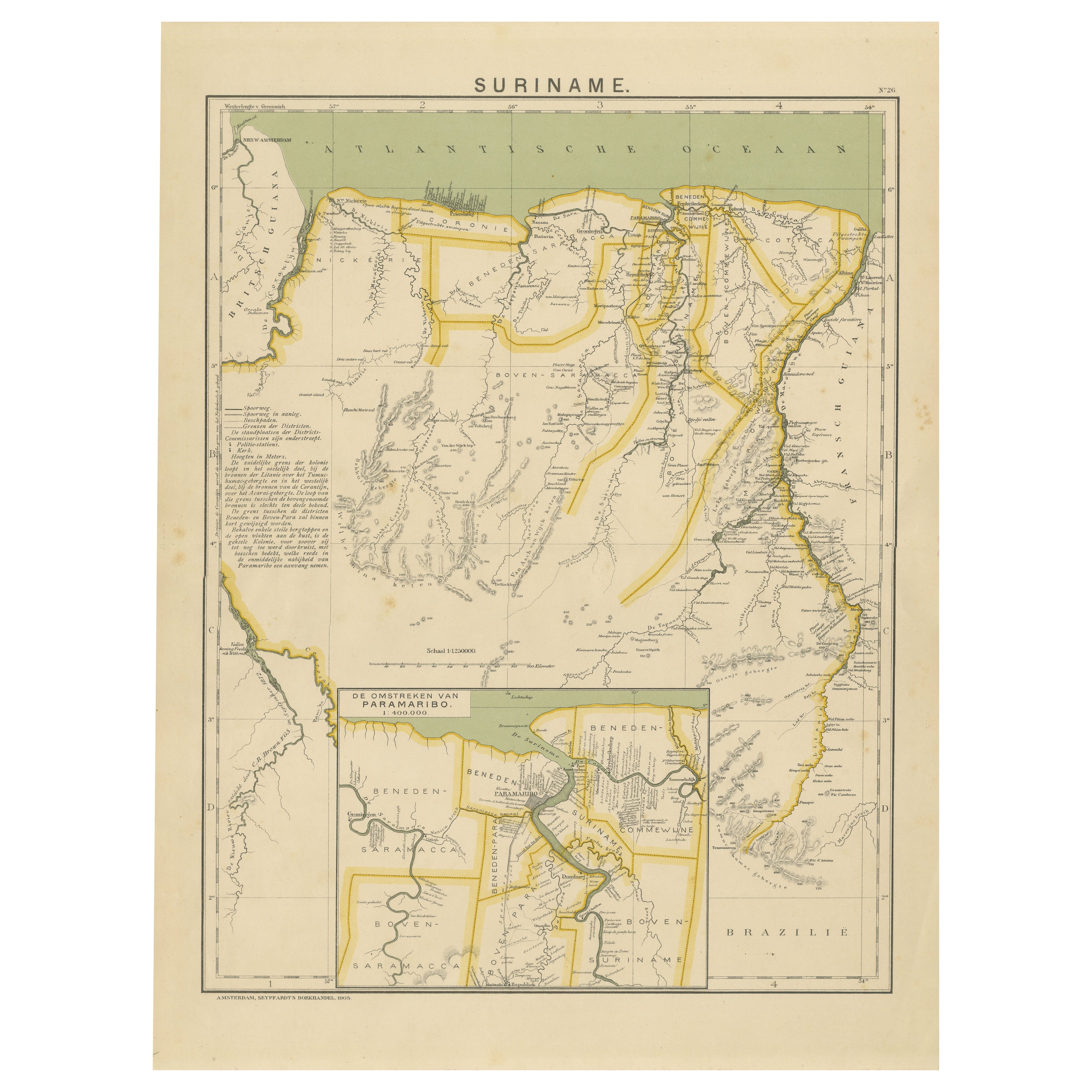
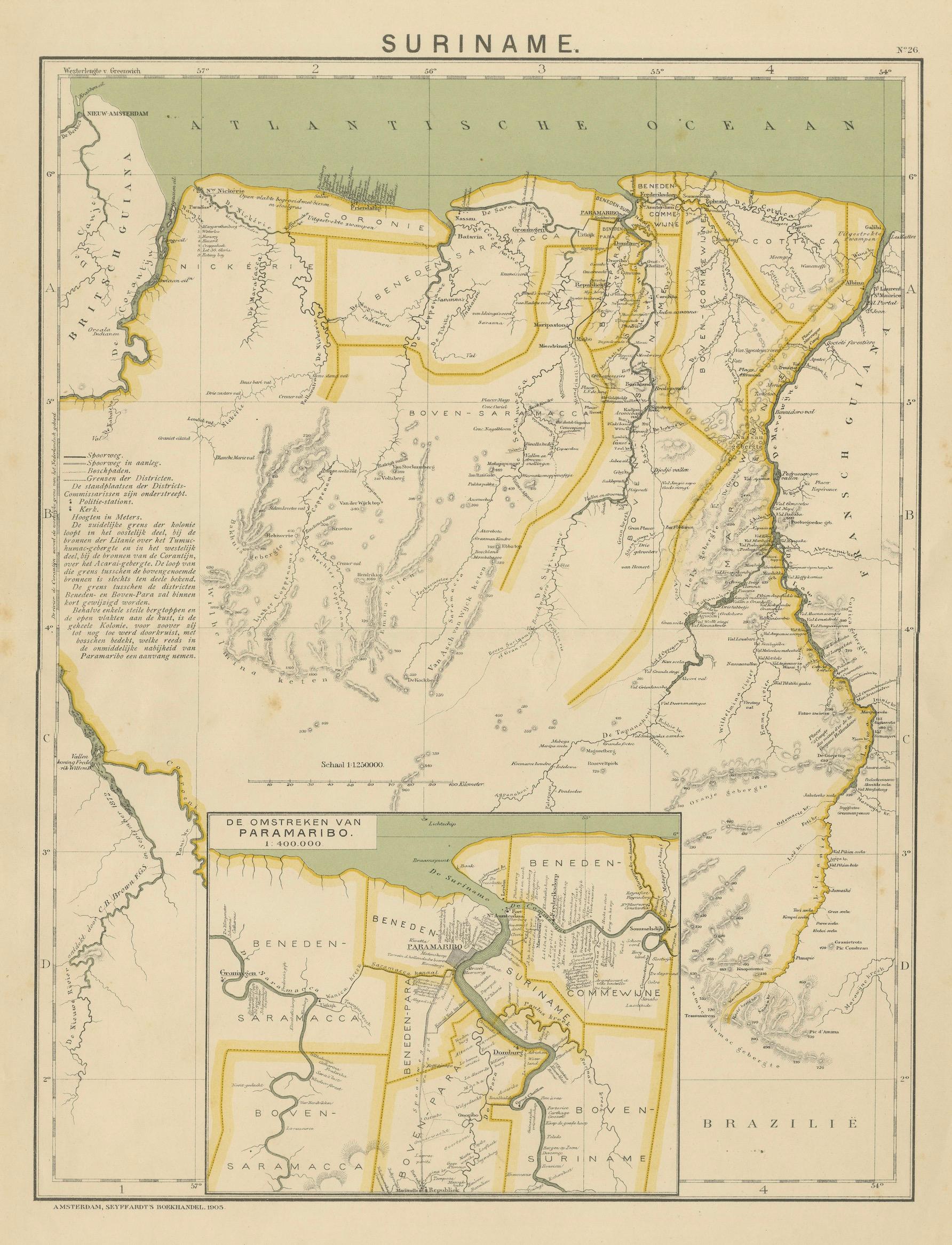
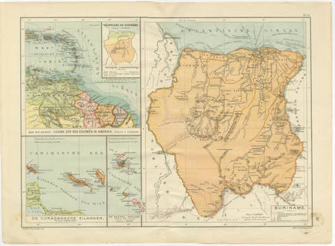
SURINAME – Dutch Colonial Map with Districts and Paramaribo Inset, 1905
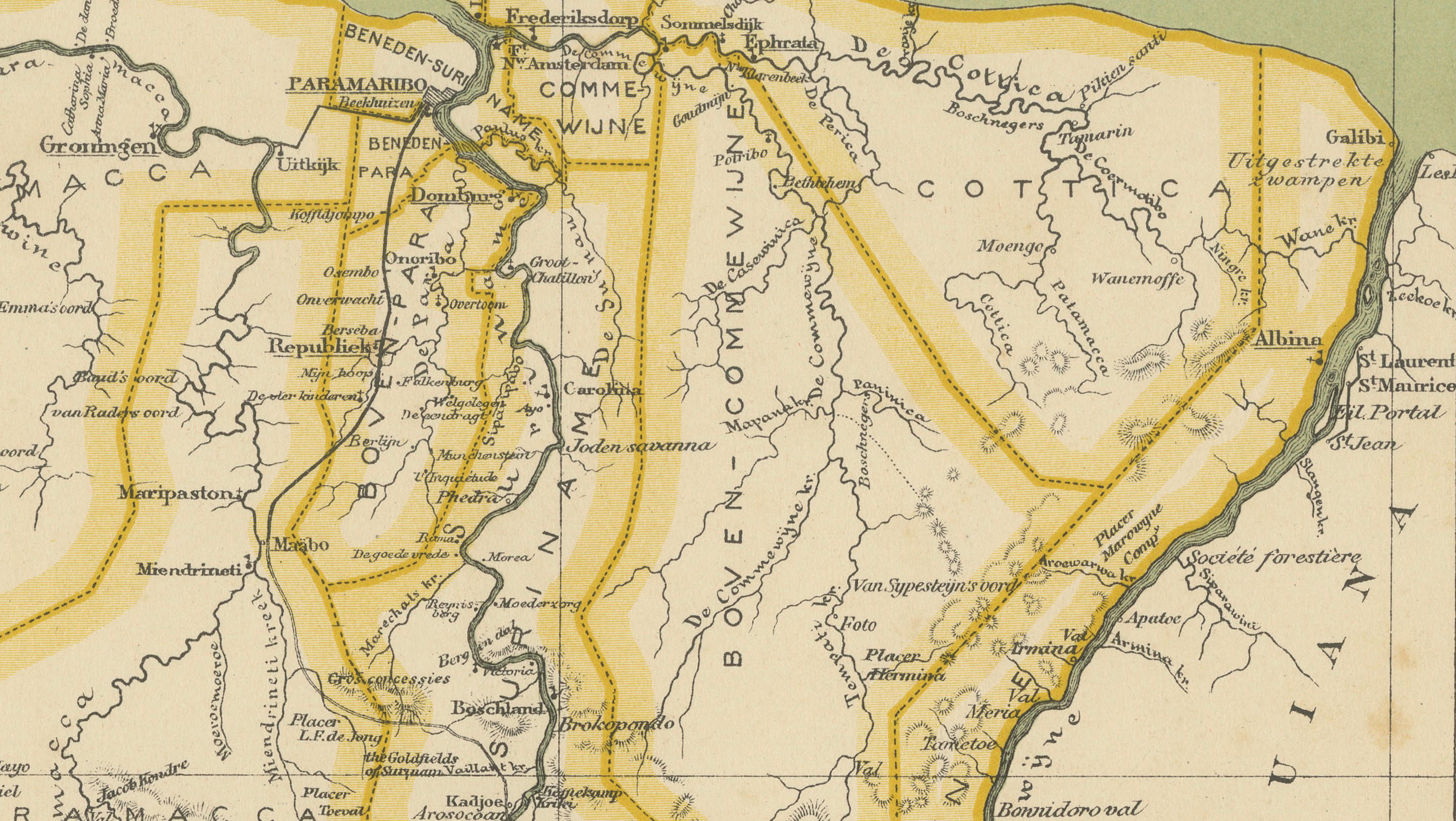
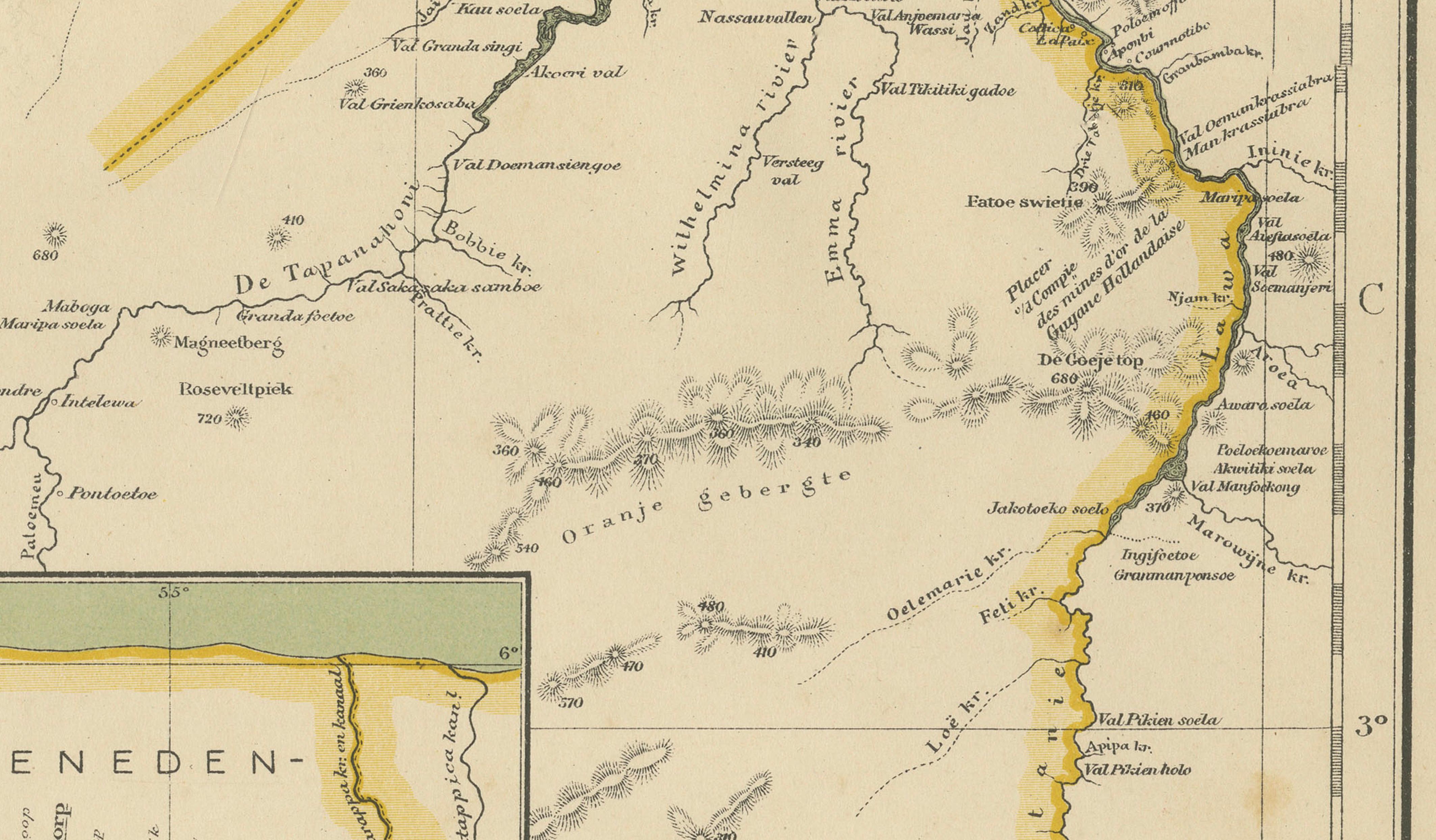
This original early 20th-century map depicts Suriname, the former Dutch colony on the northern coast of South America, and was published in Amsterdam by Seyffardt’s Boekhandel in 1905. The map presents a detailed administrative and geographic overview of the colony at the height of Dutch colonial governance, combining coastal detail, river systems, and interior exploration routes.
The Atlantic coastline is clearly defined along the upper edge, while the interior is structured around Suriname’s major rivers, including the Suriname, Saramacca, Coppename, and Marowijne rivers, which were essential arteries for transport, trade, and plantation economy. Colonial districts and administrative divisions are emphasized with hand-colored boundary lines, allowing for easy visual distinction between regions. Neighboring territories such as British Guiana and Brazil are indicated for geopolitical context.
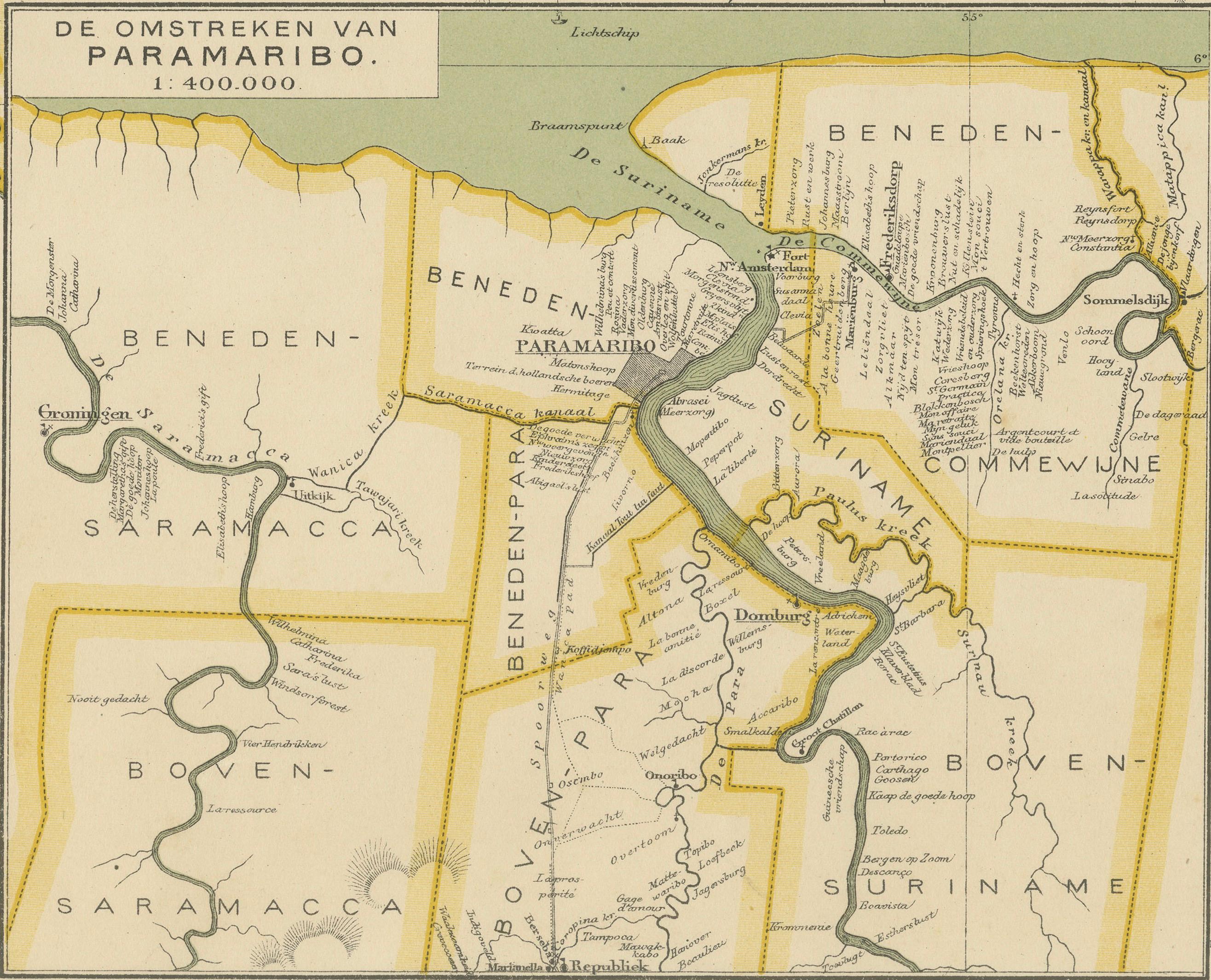
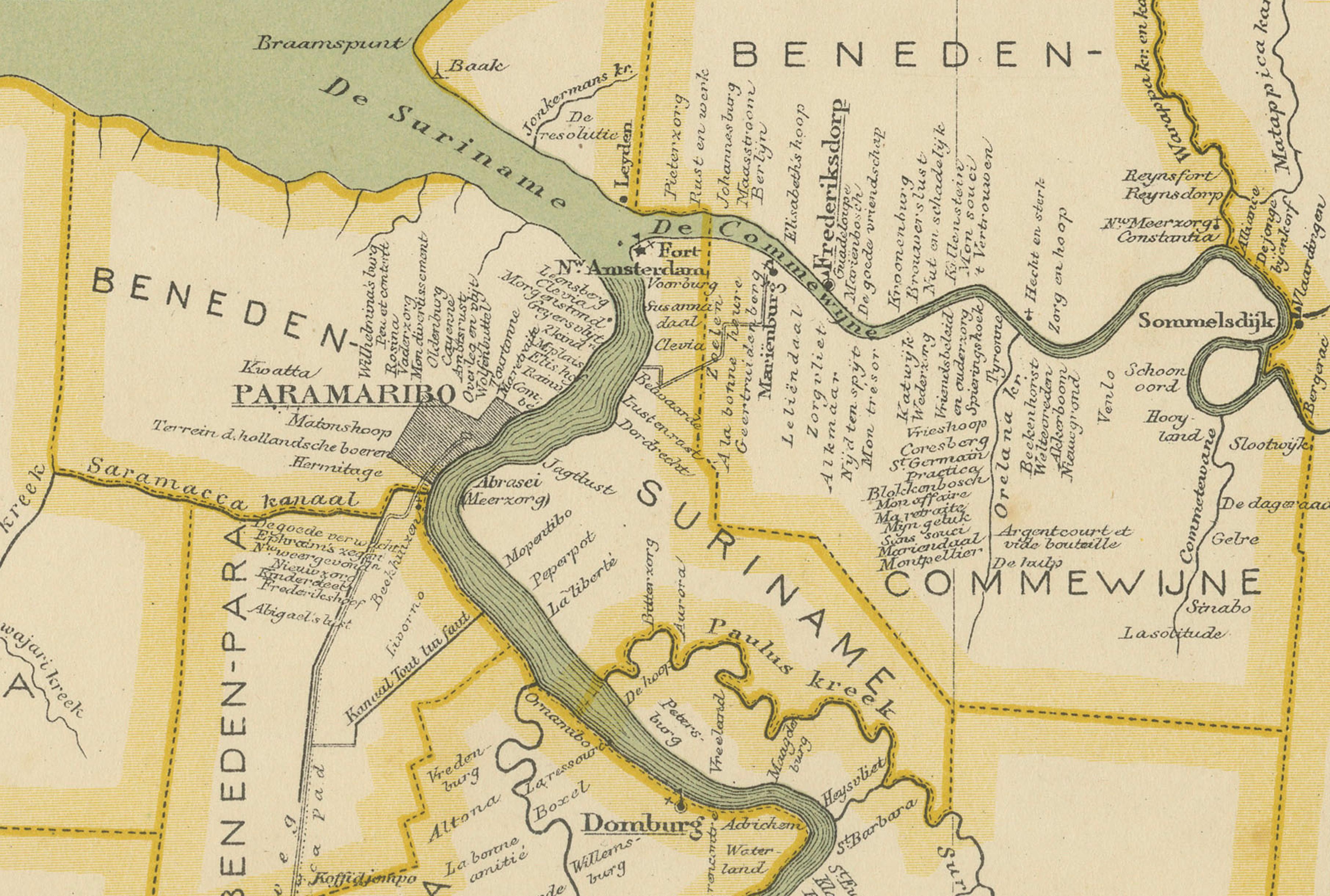
A large inset at the lower center shows the environs of Paramaribo, the colonial capital, at a larger scale. This inset highlights the river network, surrounding districts, and settlement structure of the city and its hinterland, underlining Paramaribo’s role as the administrative and commercial heart of Suriname.
The map is engraved and printed with clarity and restraint, intended as a practical reference rather than a decorative showpiece. Its function was informational, reflecting contemporary Dutch knowledge of Suriname’s geography, colonial administration, and infrastructure at the beginning of the 20th century. Today, it offers valuable insight into late colonial mapping practices and the territorial organization of Suriname prior to major political changes later in the century.
This map is particularly appealing to collectors of colonial maps, Suriname and Caribbean history, and Dutch overseas cartography, as well as for interior use where subtle color and strong geographic structure are desired.
Condition report:
Light overall toning consistent with age. Minor spotting and small handling marks. Margins intact. Hand coloring remains clear.
Framing tips:
Float-mount with a light ivory or soft grey mat to complement the pale paper tone. A simple light wood or black frame works well with the understated cartographic style.
Technique: Printed map with hand-colored boundaries
Maker: Seyffardt’s Boekhandel, Amsterdam
Date: 1905