About this sheet
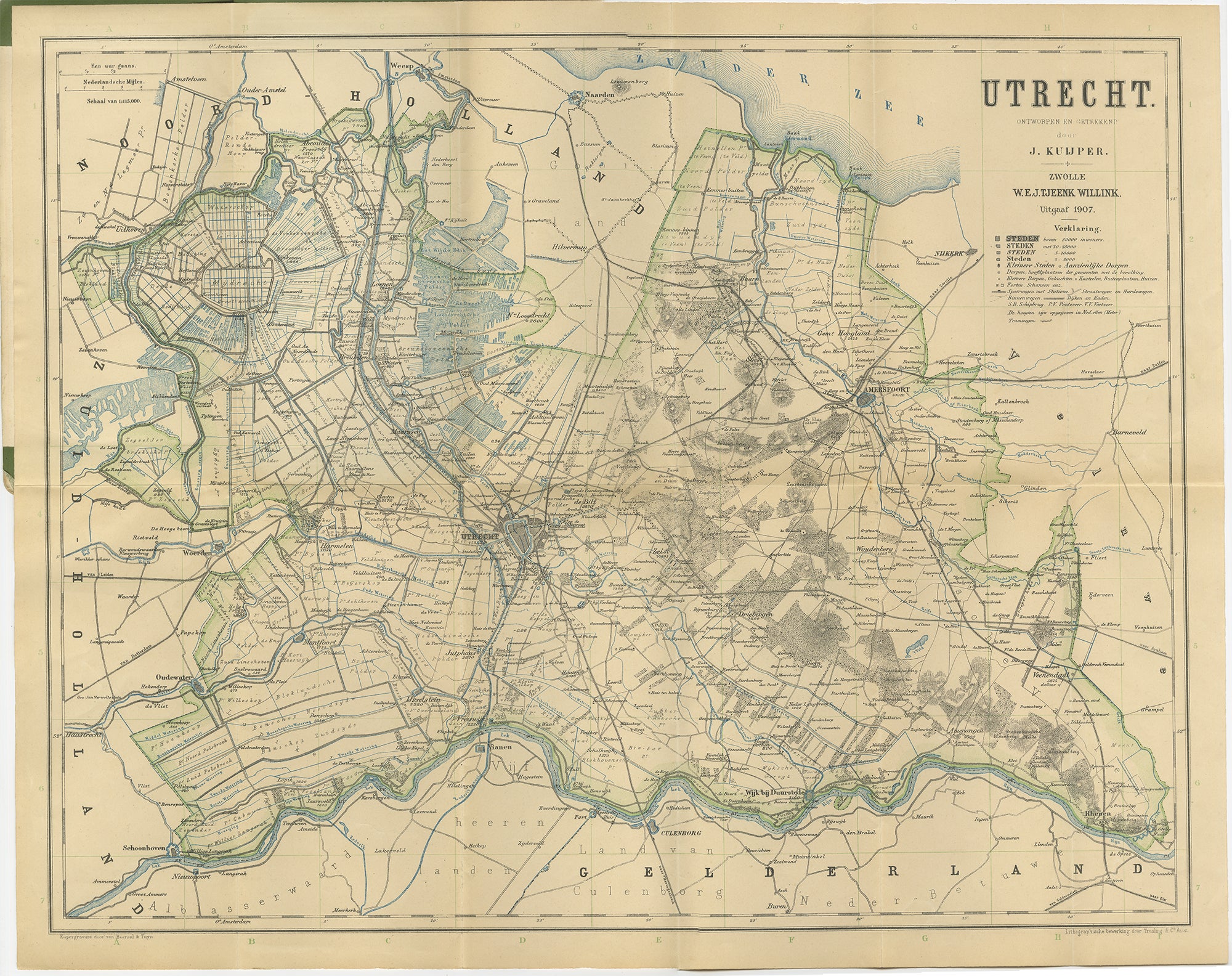
Utrecht Province Map 1907 – Antique Dutch Topographic Kuyper Lithograph
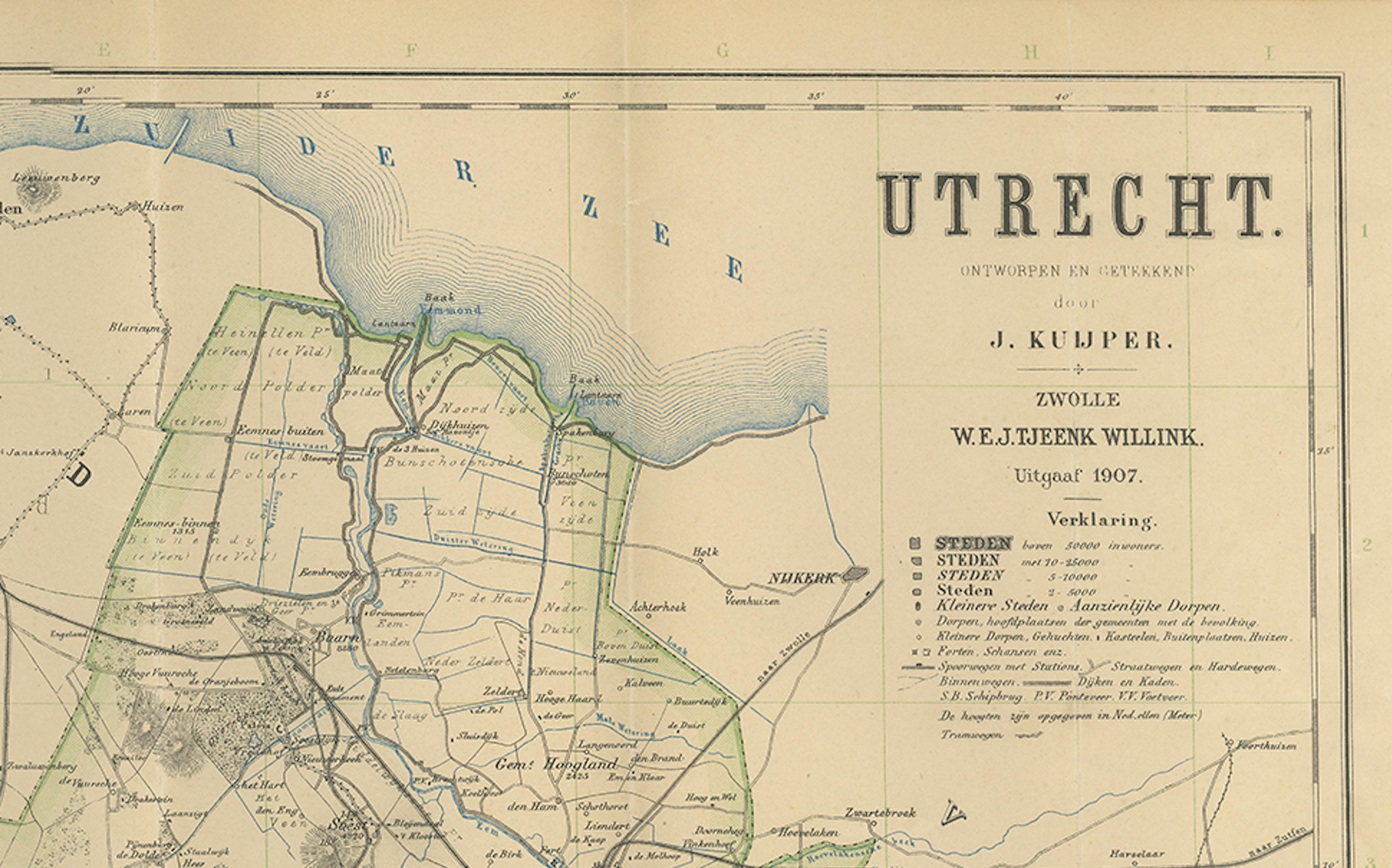
This antique map of the province of Utrecht, titled “Utrecht. Uitgegeven en getekend door J. Kuyper”, was published in 1907 by W\.E.J. Tjeenk Willink in Zwolle. It is a highly detailed lithographed map of one of the Netherlands’ central provinces, known for its rich history, medieval cities, and varied landscapes.
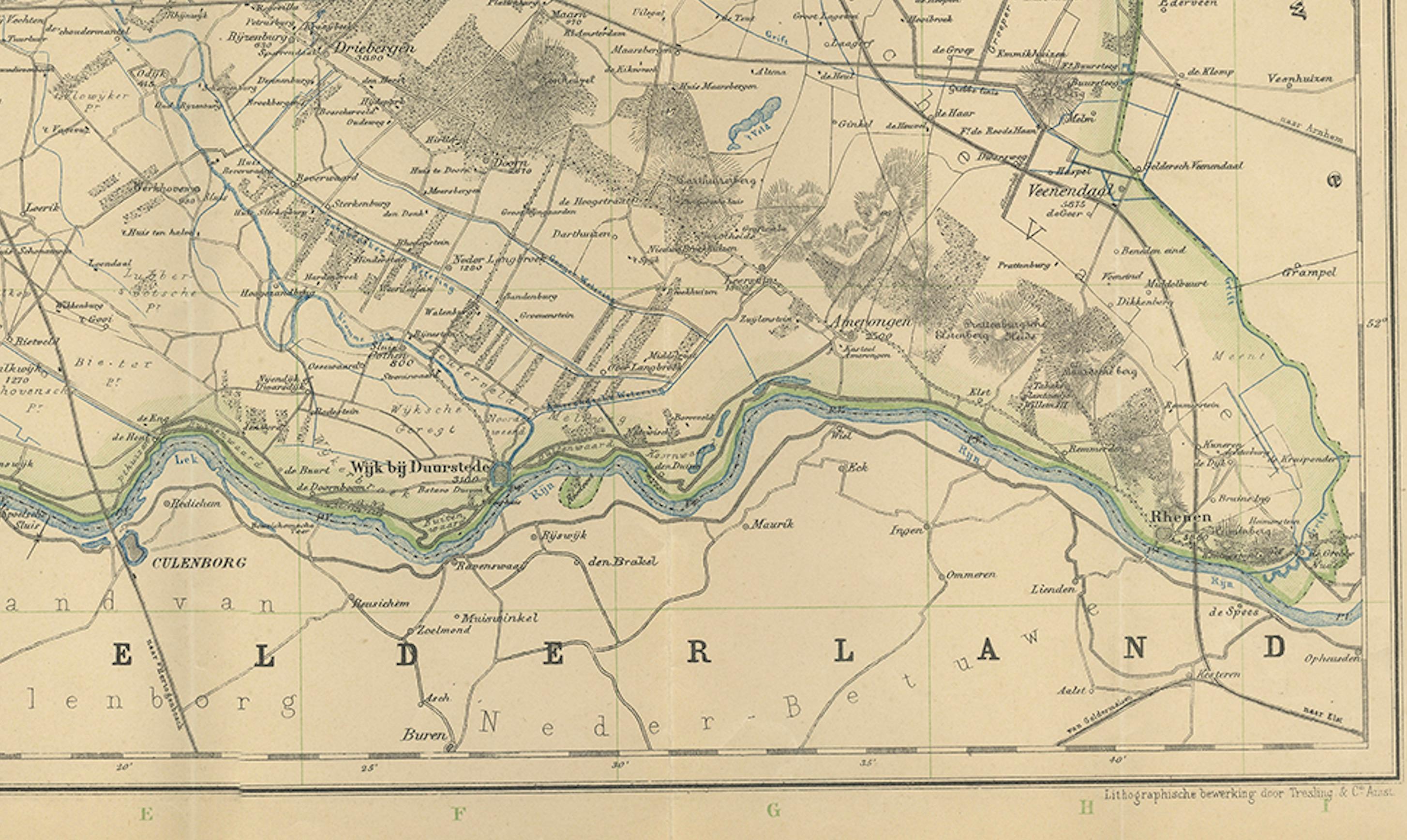
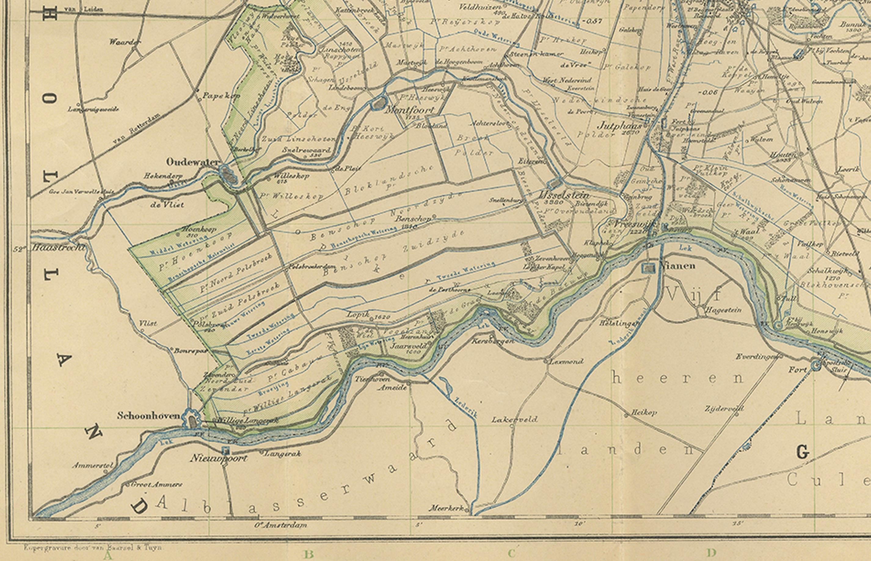
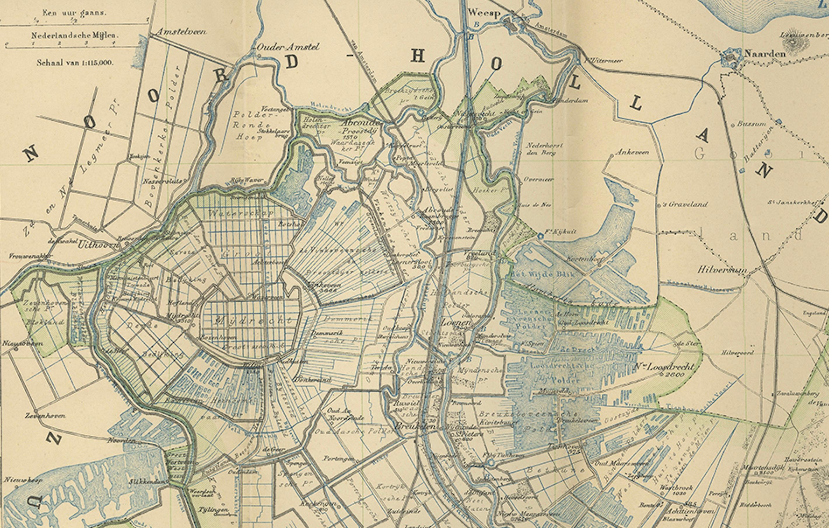
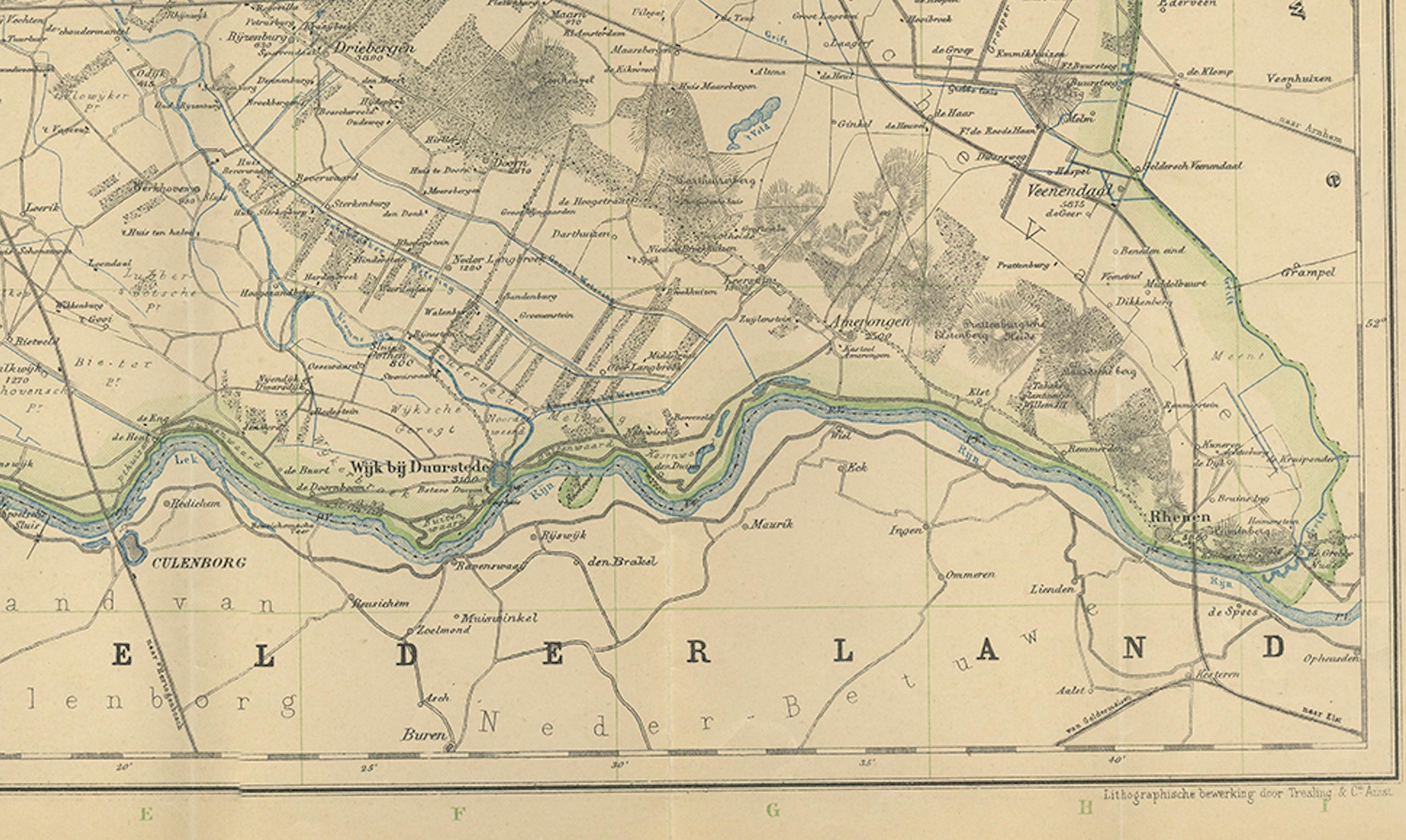
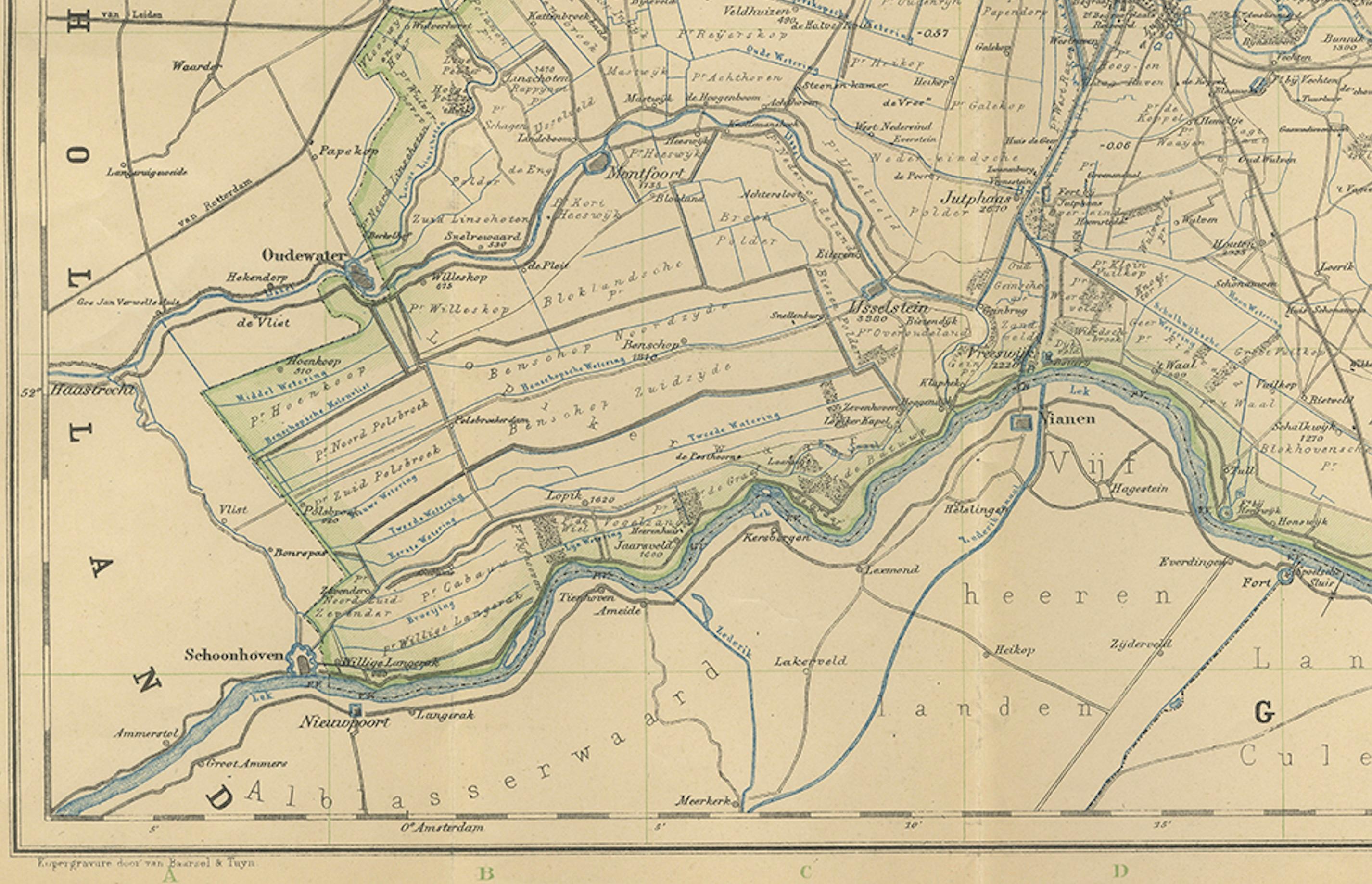
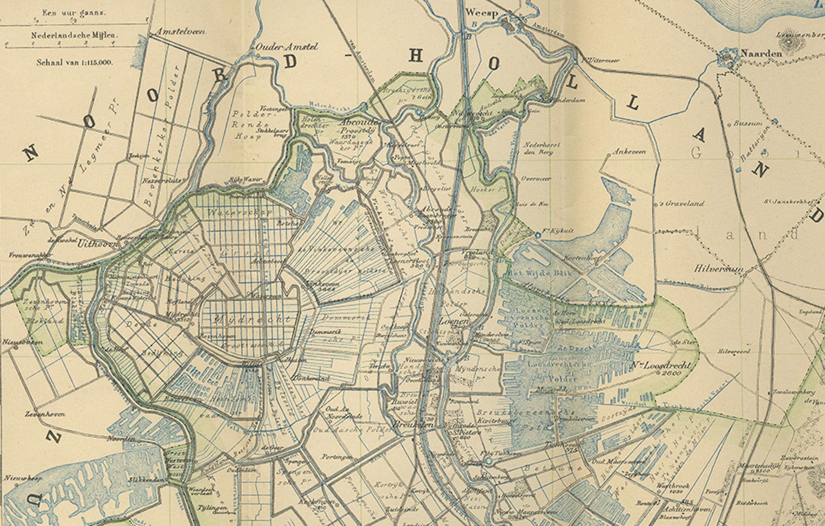
The map shows the entire province of Utrecht in remarkable detail, with boundaries, waterways, railroads, and settlements clearly marked. Cities such as Utrecht, Amersfoort, and Zeist are shown with surrounding towns, villages, and rural areas, making the map a valuable geographic record from the early 20th century. The province’s dense network of canals, dikes, and rivers is finely engraved, emphasizing Utrecht’s role within the Dutch system of water management.
Shaded areas highlight woodlands, heathlands, and other natural features, with the Utrechtse Heuvelrug (Utrecht Hill Ridge) prominently marked. Railroads and tram lines are also carefully delineated, reflecting the increasing modernization of Dutch transport infrastructure at the beginning of the 20th century. The Zuiderzee (now the IJsselmeer) is shown along the northern border, predating the Afsluitdijk (1932) and subsequent land reclamation that reshaped the Netherlands in the 20th century.
Kuyper’s maps, published by W\.E.J. Tjeenk Willink, were known for their clarity and accuracy, widely used in schools and administration. Today, they provide a historical window into Dutch geography before major 20th-century transformations, such as the Zuiderzee Works and post-war urban expansion.
Condition: Good, with light age toning and fold lines as issued. Some small marginal tears and handling creases, but image remains clean and paper stable.
Framing tips: A simple black or dark oak frame with a cream mat will emphasize the fine cartographic detail. A secondary green mat could highlight the provincial borders and natural areas.
Technique: Lithograph with printed color
Maker: J. Kuyper, published by W\.E.J. Tjeenk Willink, Zwolle, 1907