About this sheet
Antique Map of Zuid-Holland & Utrecht – Sleeswijk Atlas, 1914
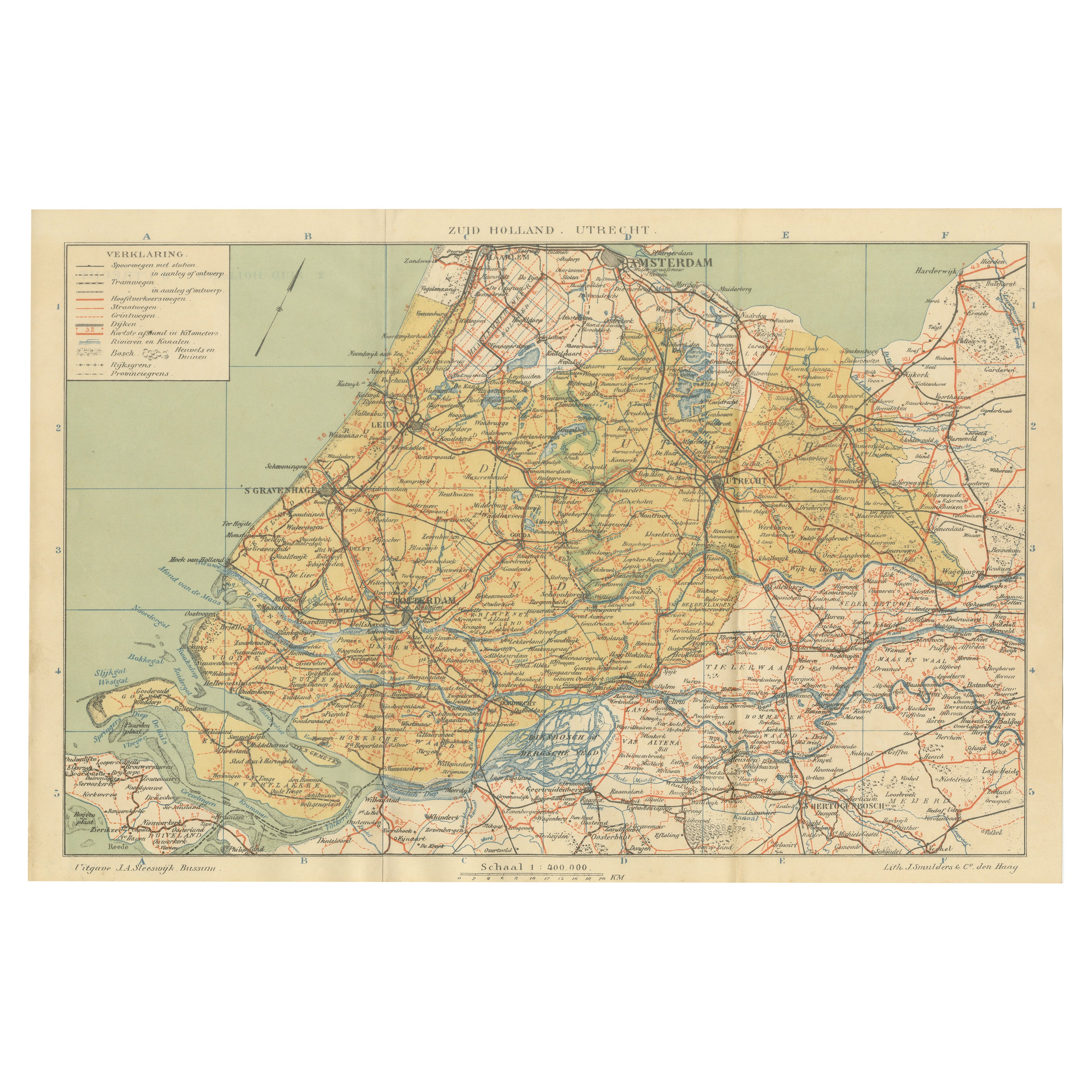
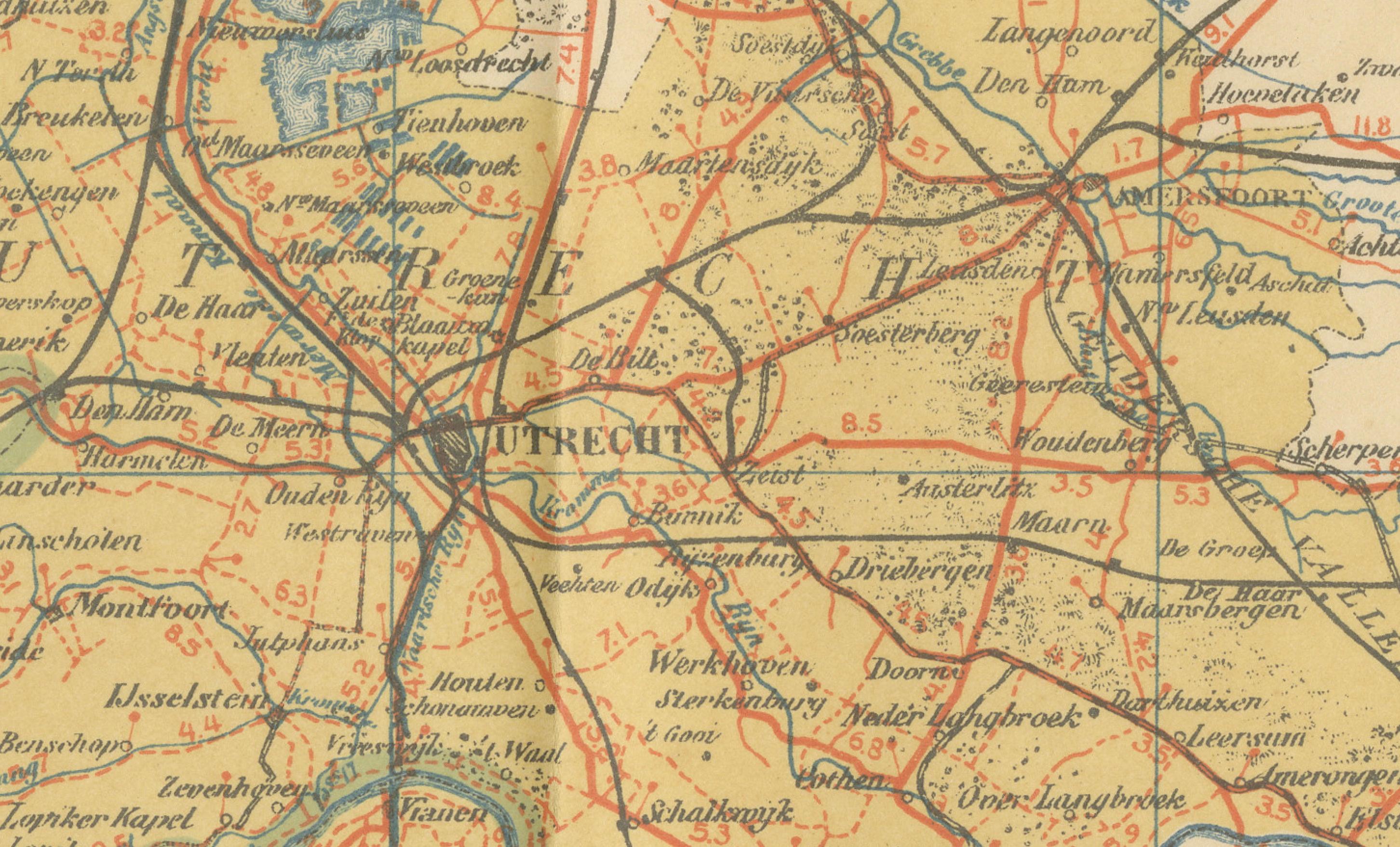
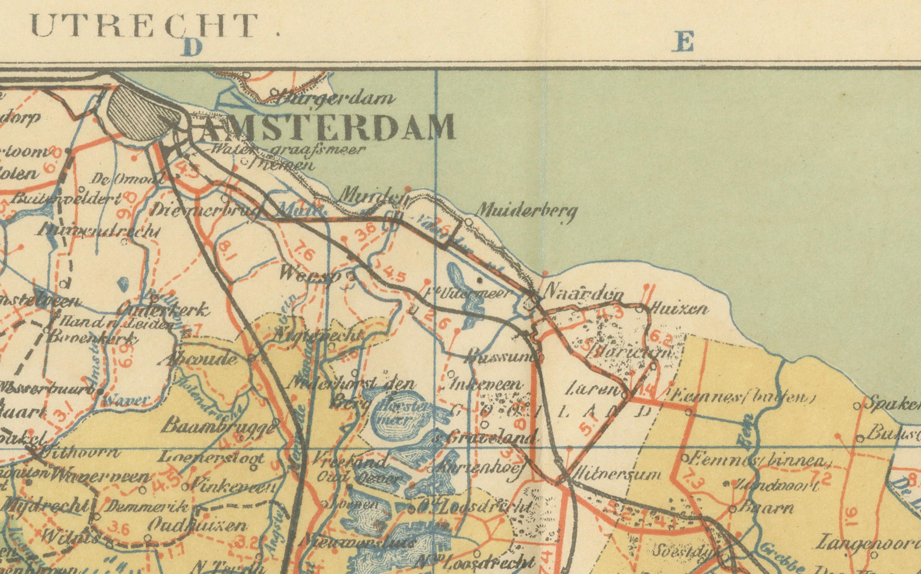
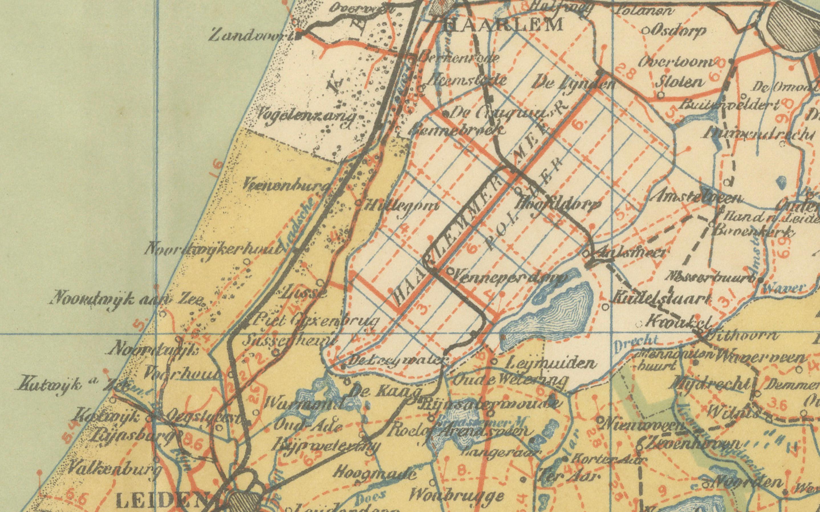
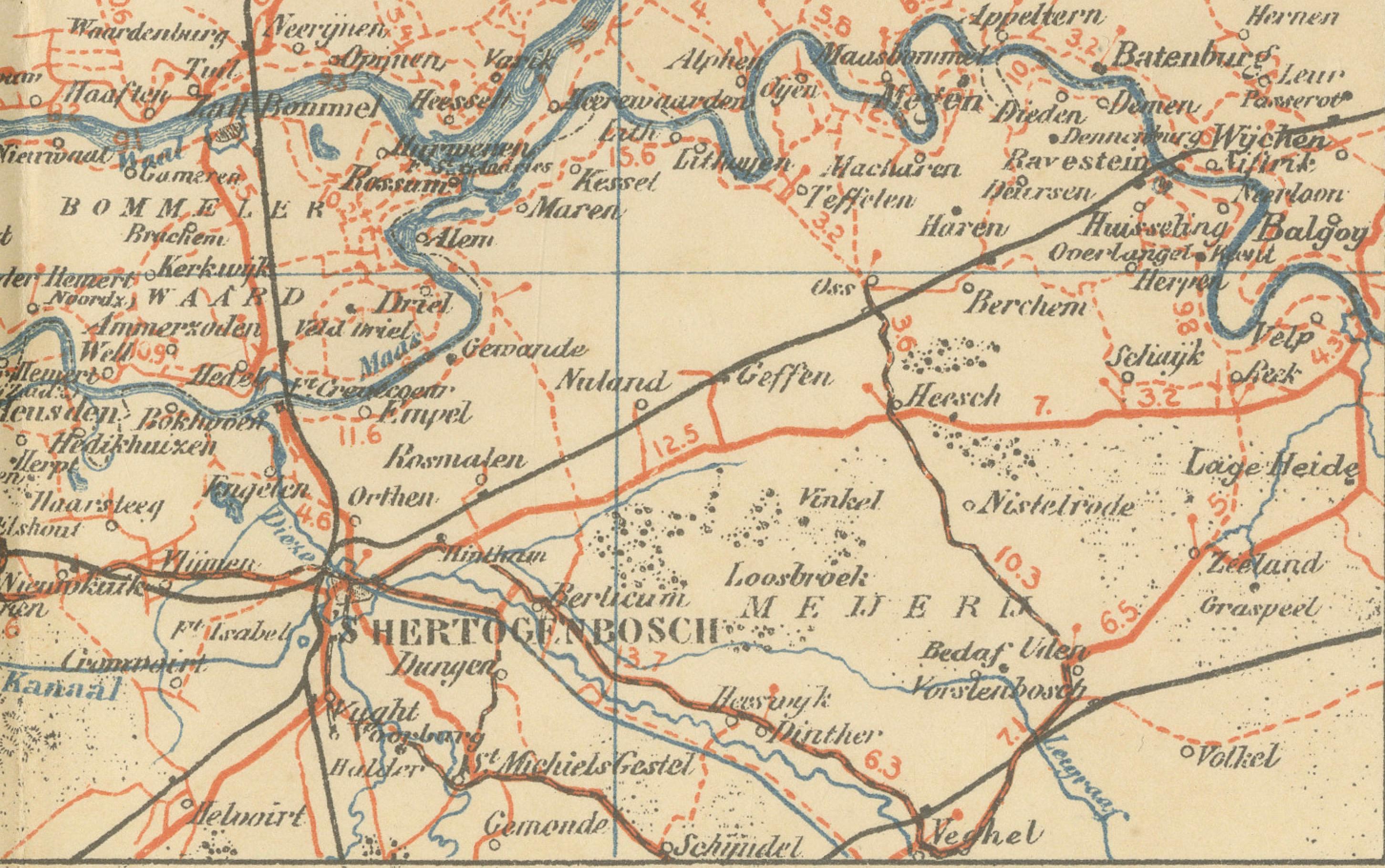
This antique map of Zuid-Holland and Utrecht was published in 1914 in the well-known Sleeswijk Atlas, a Dutch school atlas widely used for geography education in the early 20th century. It captures two of the most important provinces in the Netherlands, presenting a wealth of detail on the urban, rural, and infrastructural landscape during a pivotal period in Dutch history.
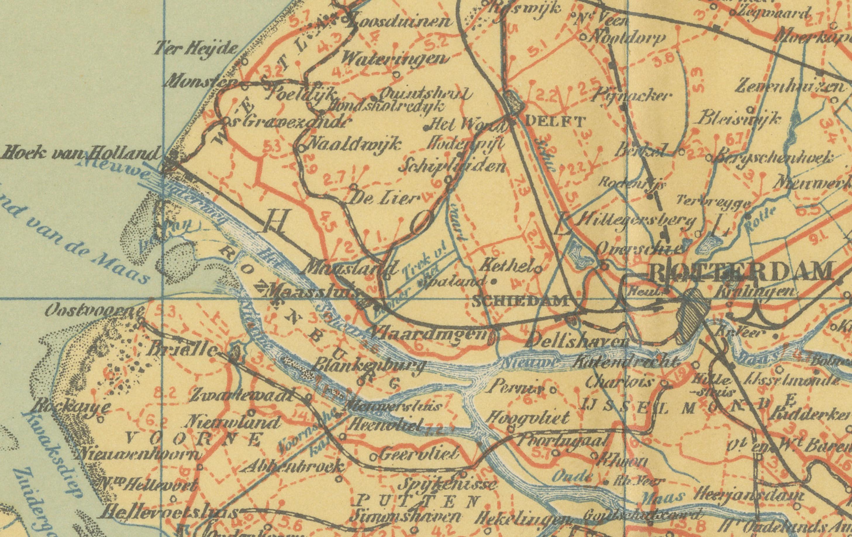
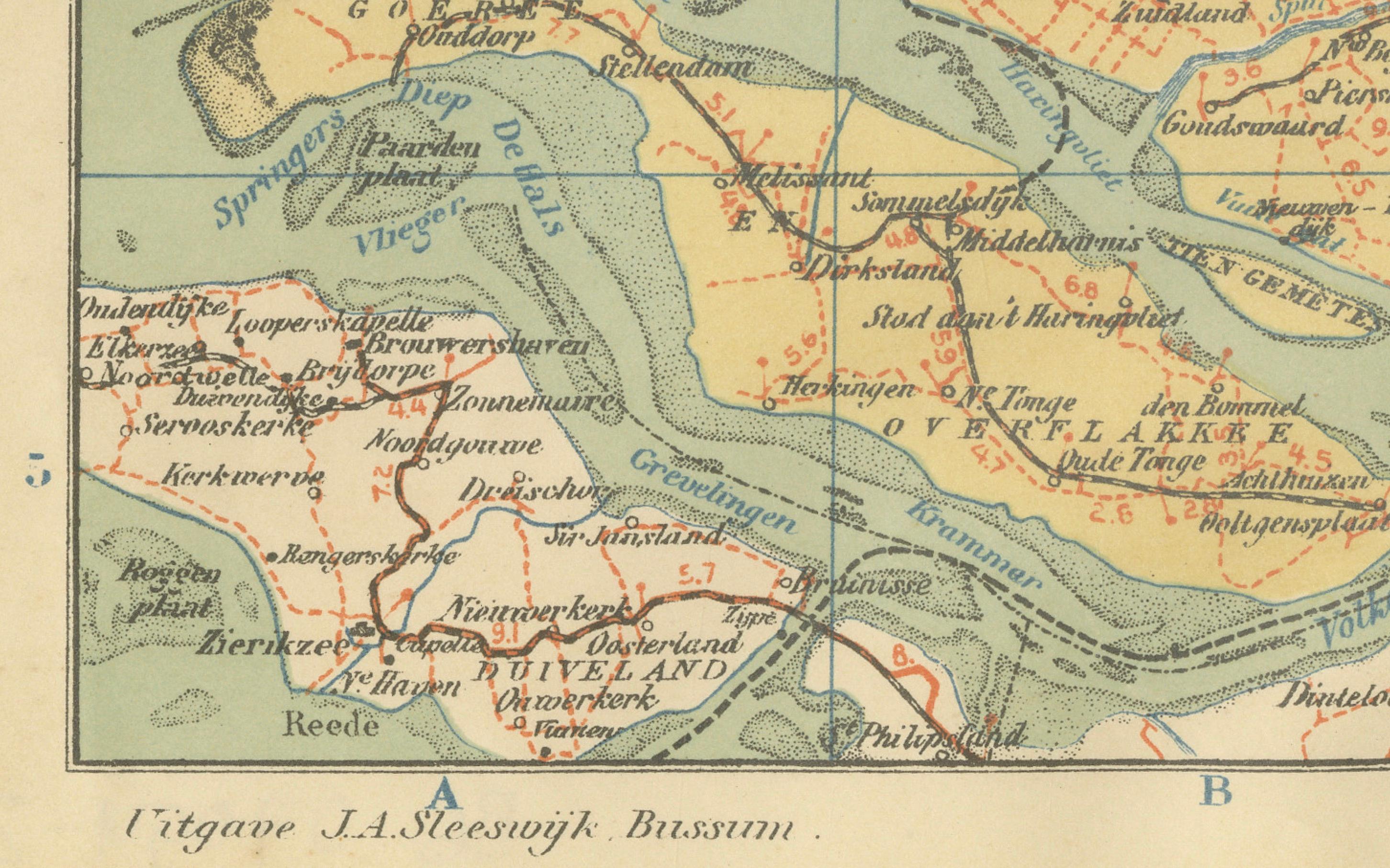
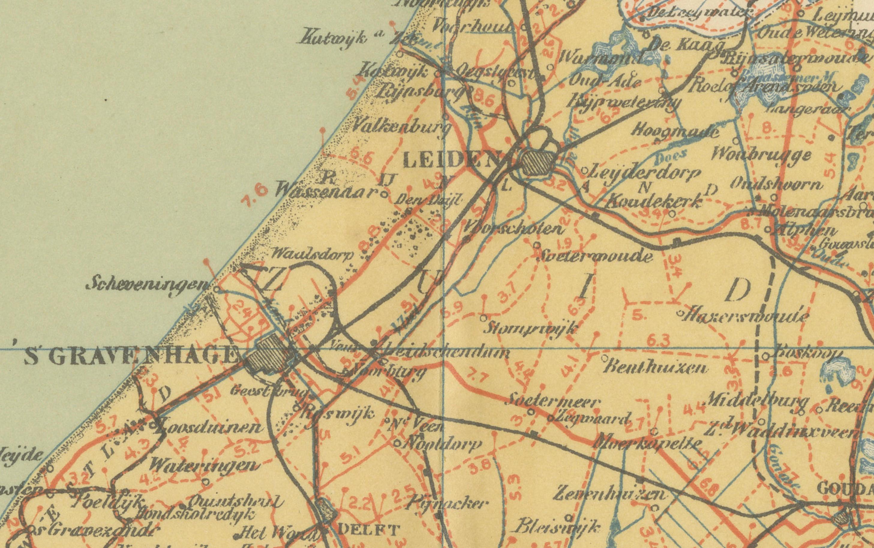
The map extends from the North Sea coast with Scheveningen and Katwijk eastwards across the province of Utrecht, and from Amsterdam in the north to Dordrecht and the river delta in the south. Major cities including The Hague, Rotterdam, Utrecht, Leiden, and Gouda are prominently marked, while an intricate web of smaller towns and villages fills the surrounding landscape. The extensive railway system is shown in red, illustrating the rapid expansion of transportation networks at the beginning of the 20th century. Waterways, rivers, canals, and polders are carefully delineated, reflecting the ongoing Dutch mastery of hydraulic engineering and land reclamation.
The legend (“Verklaring”) at upper left provides symbols for tramways, provincial roads, municipal boundaries, and water defenses, giving the map both practical and educational value. With a scale of 1:400,000, the sheet combines clarity and precision, qualities that made the Sleeswijk Atlas a staple in Dutch schools for decades. Printed in soft colors with clean, legible typography, it is characteristic of the elegant cartography of early 20th-century educational maps.
Published by A. Sleeswijk in Bussum and lithographed by J. Smulders & Co. in The Hague, this map represents the high standards of Dutch school cartography at the time. Today, it serves both as an attractive decorative item and as a document of regional history, offering insight into the provinces during the years just before the First World War.
Condition report: Very good condition with original centerfolds as issued. Minor age toning and light handling traces at the margins. Plate mark visible. Colors remain fresh and well preserved.
Framing tips: A soft ivory or pale cream mat will enhance the pastel tones, while a slim black or dark wood frame will provide a modern, clean contrast. For a more traditional effect, a gilt frame adds warmth and highlights the map’s historic character.
Technique: Lithograph with original color
Maker: A. Sleeswijk, Bussum / J. Smulders & Co., The Hague, 1914