Maps & PrintsBartele Gallery · Langweer
Home / Antique Maps / Europe / Western Europe / The Netherlands & Belgium

The Netherlands & Belgium

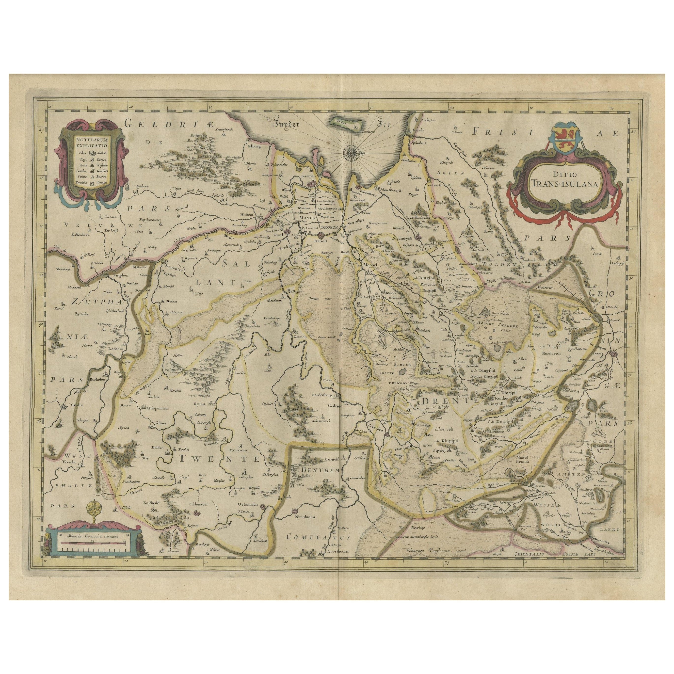
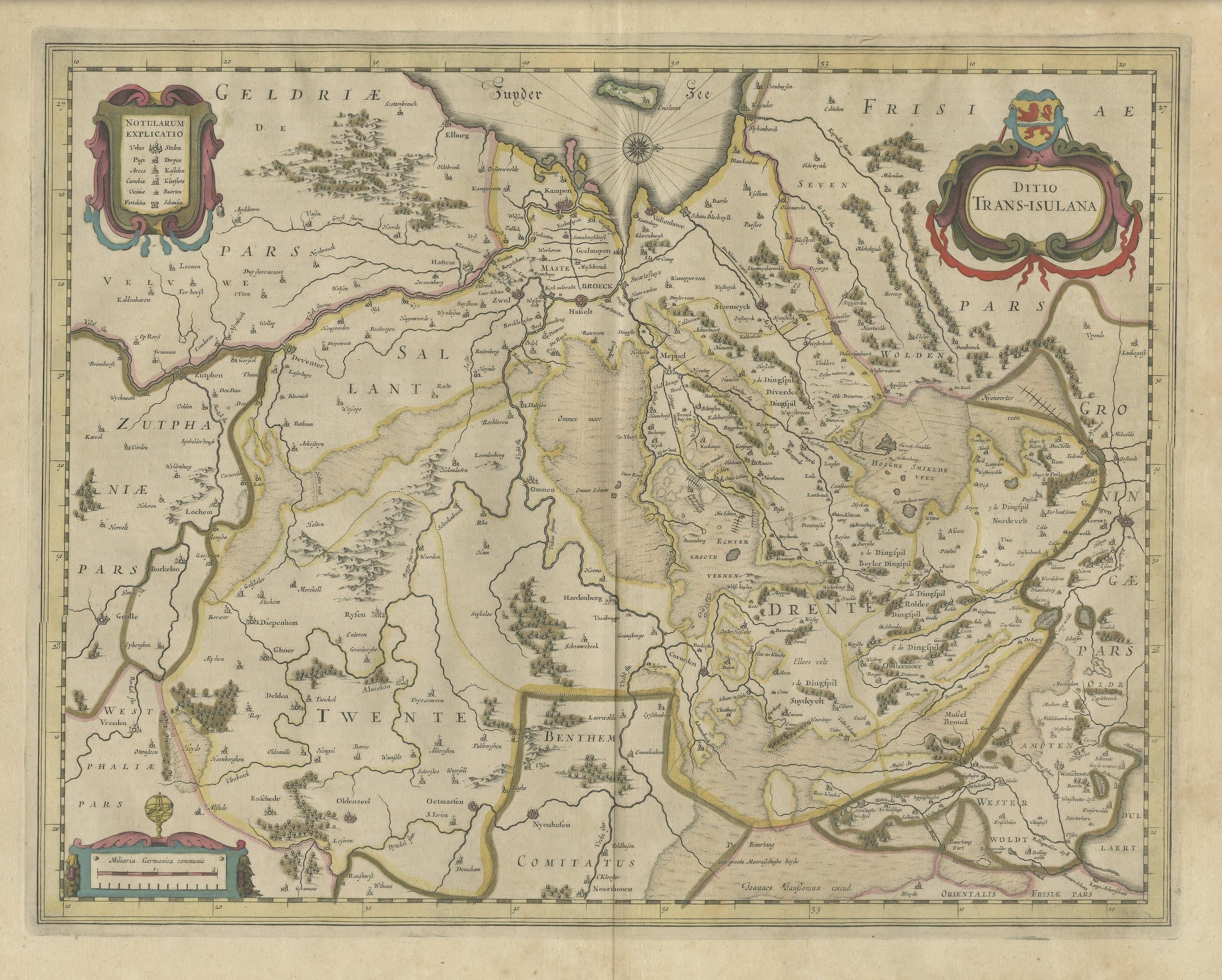
Antique Map of the Province of Overijssel, the Netherlands

€ 490

One of a kind: this is the sheet in the photographs. Ships from Langweer, the Netherlands.

Sheet size
49 × 58.4 cm (19.3 × 23.0 in)
Condition
Fair
Reference
BG-13145-1

Condition

Wear consistent with age and use. Strong toning, shows wear and foxing. Original / contemporary hand coloring. Original folding line. Latin text on verso. Please study image carefully.
About this sheet

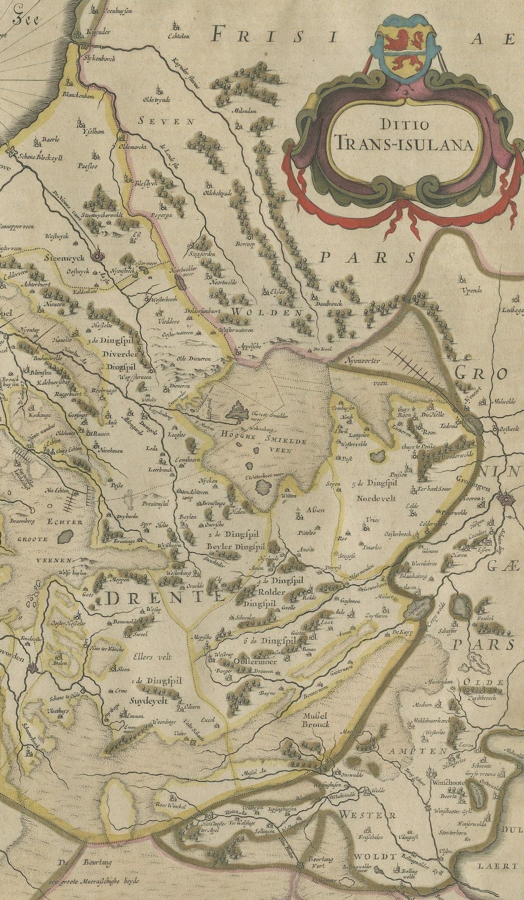
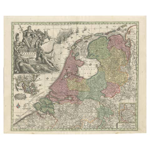
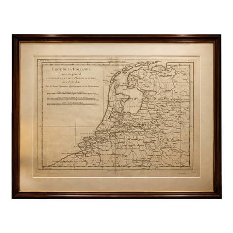
Original antique map titled 'Ditio Trans-Isulana'. Original old map of the province of Overijssel, the Netherlands. With coat of arms and two decorative cartouches. Published by J. Janssonius.

Johannes Janssonius also known as Jan Jansson (1588-1664) was born in Arnhem, Netherlands. His father was a bookseller and publisher (Jan Janszoon the Elder). When he married the daughter of the cartographer Jodocus Hondius he also set up a business as book publisher in Amsterdam. His first map was published in 1616. Around 15 years later he set up a partnership with his brother in law Hondius add issued further editions of the Mercator/Hondius atlas. After his death his heirs still have published several maps. Many of his plates have been acquired by Pieter Schenk and Gerard Valk.

More from The Netherlands & Belgium

Ask about this sheet

Antique Map of the Province of Overijssel, the Netherlands
Ref. BG-13145-1 · € 490
We reply by email, usually within one working day.