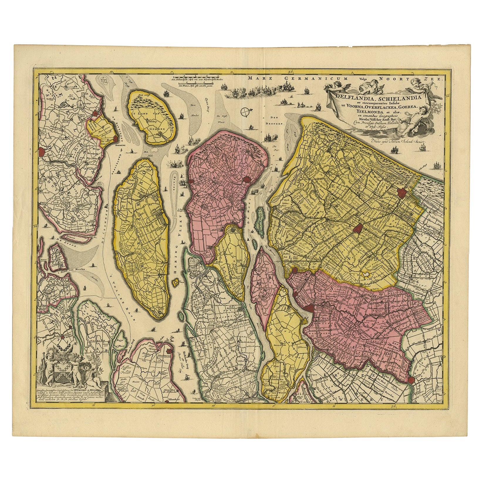
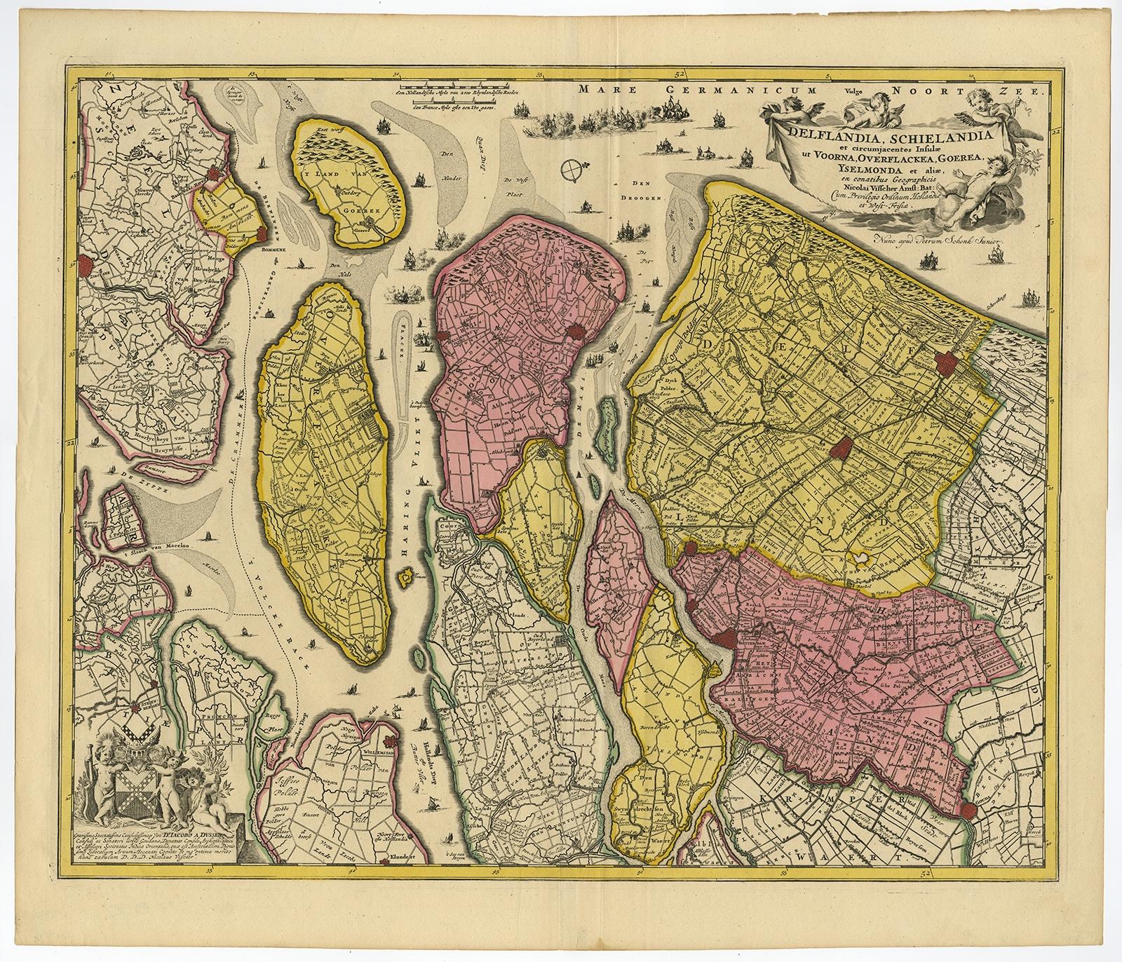
Detailed Map of Southern Holland, Incl the Hague, Rotterdam, Delft, Gouda, c1680
€ 1 250
Original antique · The actual sheet photographed · Certificate of authenticity on request · Sold unframed · Worldwide shipping from € 15 (rates)
Sheet size
52.8 × 61.3 cm (20.8 × 24.1 in)
Condition
Good
Reference
PC-58060
Condition
A few very small tears top edge. Middle fold as issued. Two soft vertical creases along the middle fold. General age-related toning and/or occasional minor defects from handling. Please study scan carefully.
About this sheet
Antique map titled 'Delflandia, Schielandia et circumjacentes Insulae ut Voorna, Overflackea, Goerea, Yselmonda et aliae.'
Detailed map of Southern Holland, which includes the cities of The Hague ('s-Gravenhage), Rotterdam, Willemstad, Gouda and Delft. Ships and naval battles are shown throughout the ports and sea. A pretty decorative cartouche in the upper right corner, a coat of arms is in the lower left. "Atlas Contactus", published by Petrus Schenk Jr.
Artists and Engravers: Made by 'Nicolaes Visscher' after an anonymous artist. Nicolas Visscher I was born 1618 in Wenns, Austria. He died 1679 in Linz. After the death of Nicolas II, his widow passed the business to Pieter Schenk.
Condition: Good, given age. A few very small tears top edge. Middle fold as issued. Two soft vertical creases along the middle fold. General age-related toning and/or occasional minor defects from handling. Please study scan carefully.