About this sheet
Terra Firma, Blaeu c.1642 – Antique Map of New Granada & Popayán
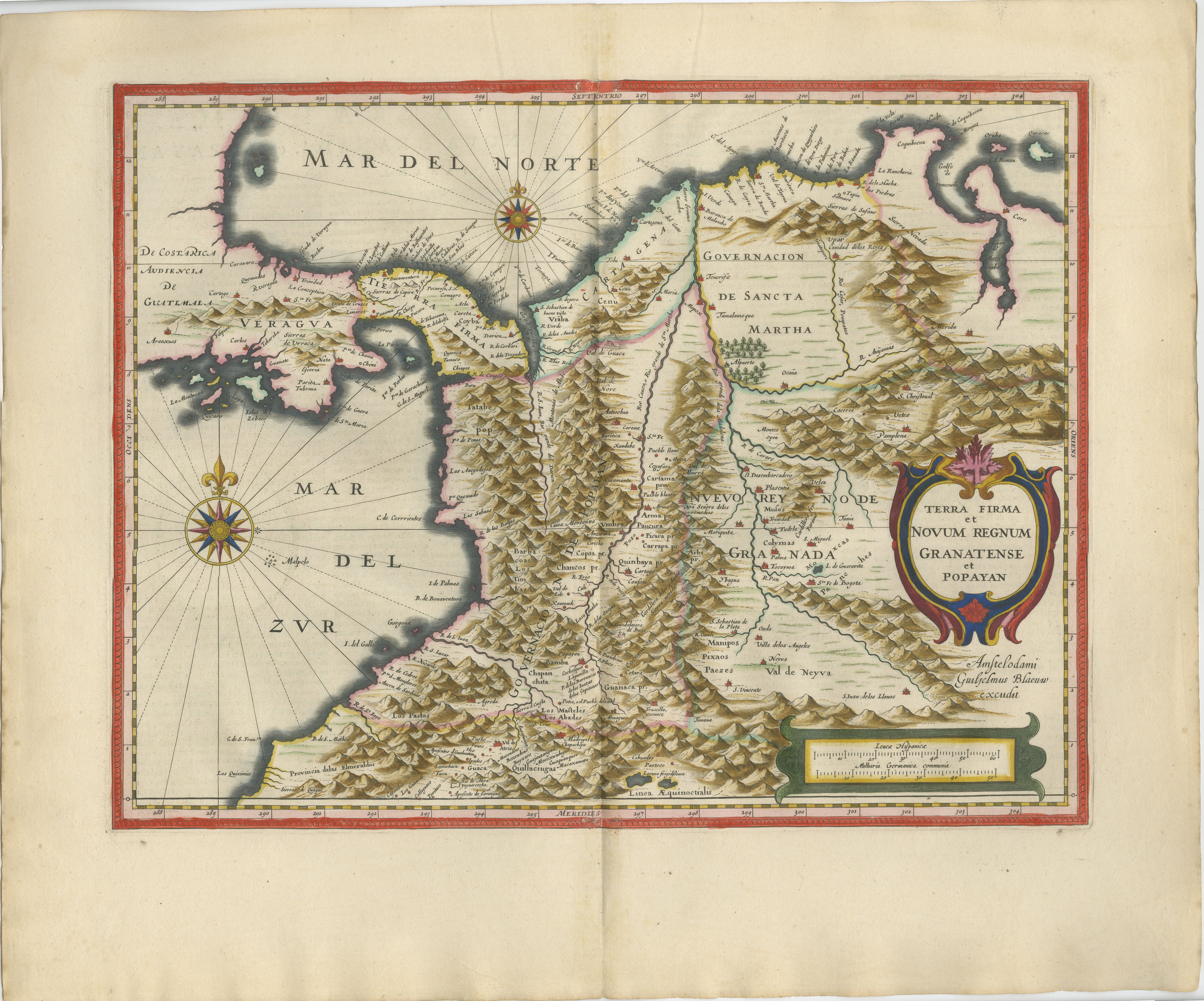
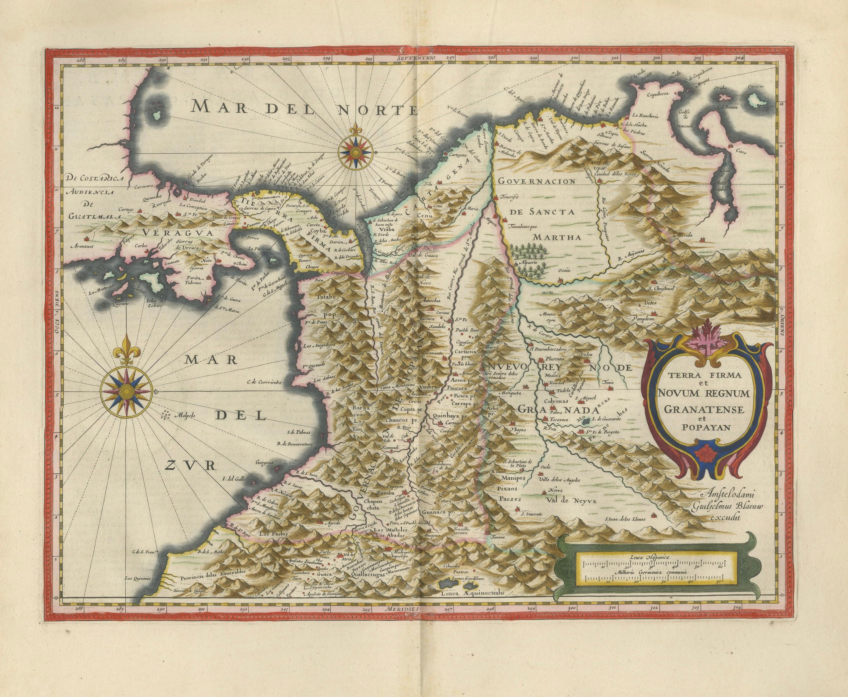
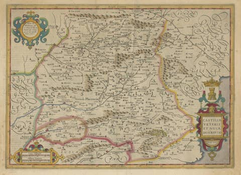
A richly detailed and highly decorative map of northern South America by Willem Blaeu, one of the most prestigious names in Dutch Golden Age cartography, presenting the Spanish colonial territories of New Granada with exceptional clarity and visual depth.
Centering on present-day Colombia, Venezuela, and Panama, this map captures the dramatic Andean landscape and early colonial geography, combining scholarly precision with a powerful decorative presence ideally suited for refined interiors.
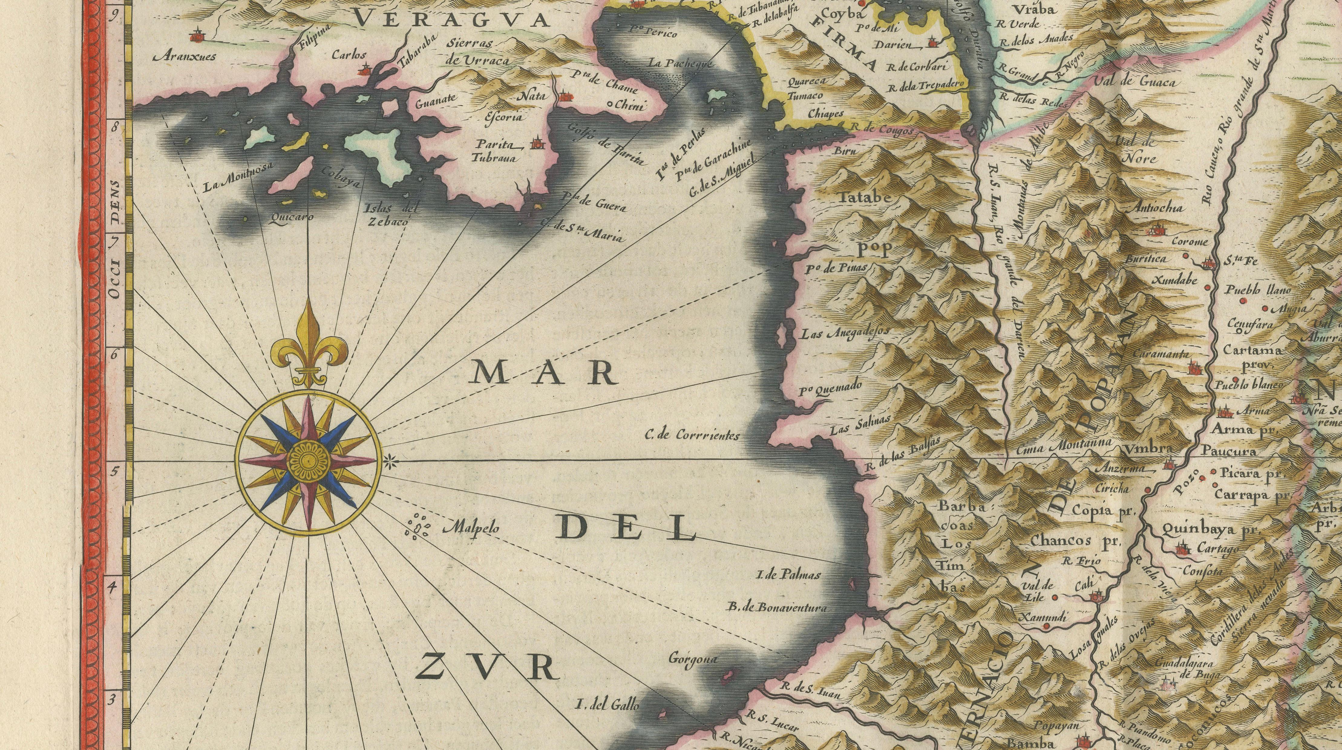
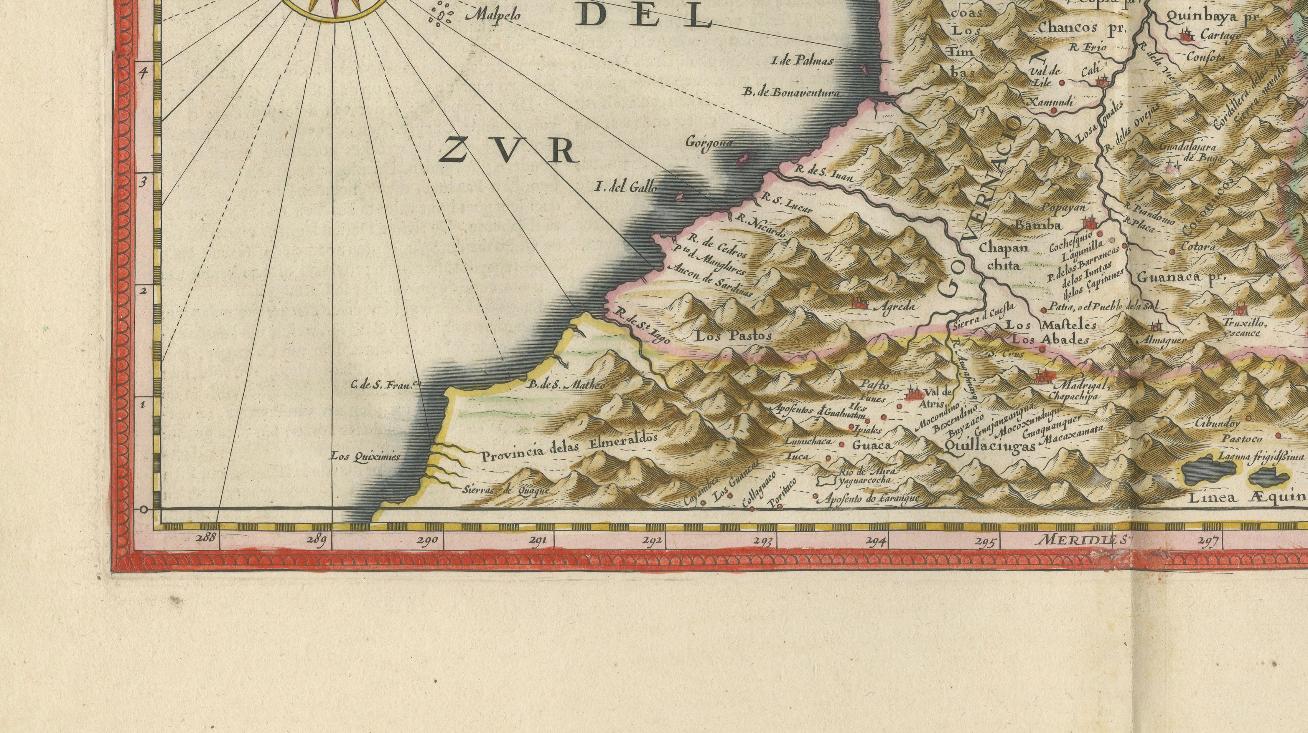
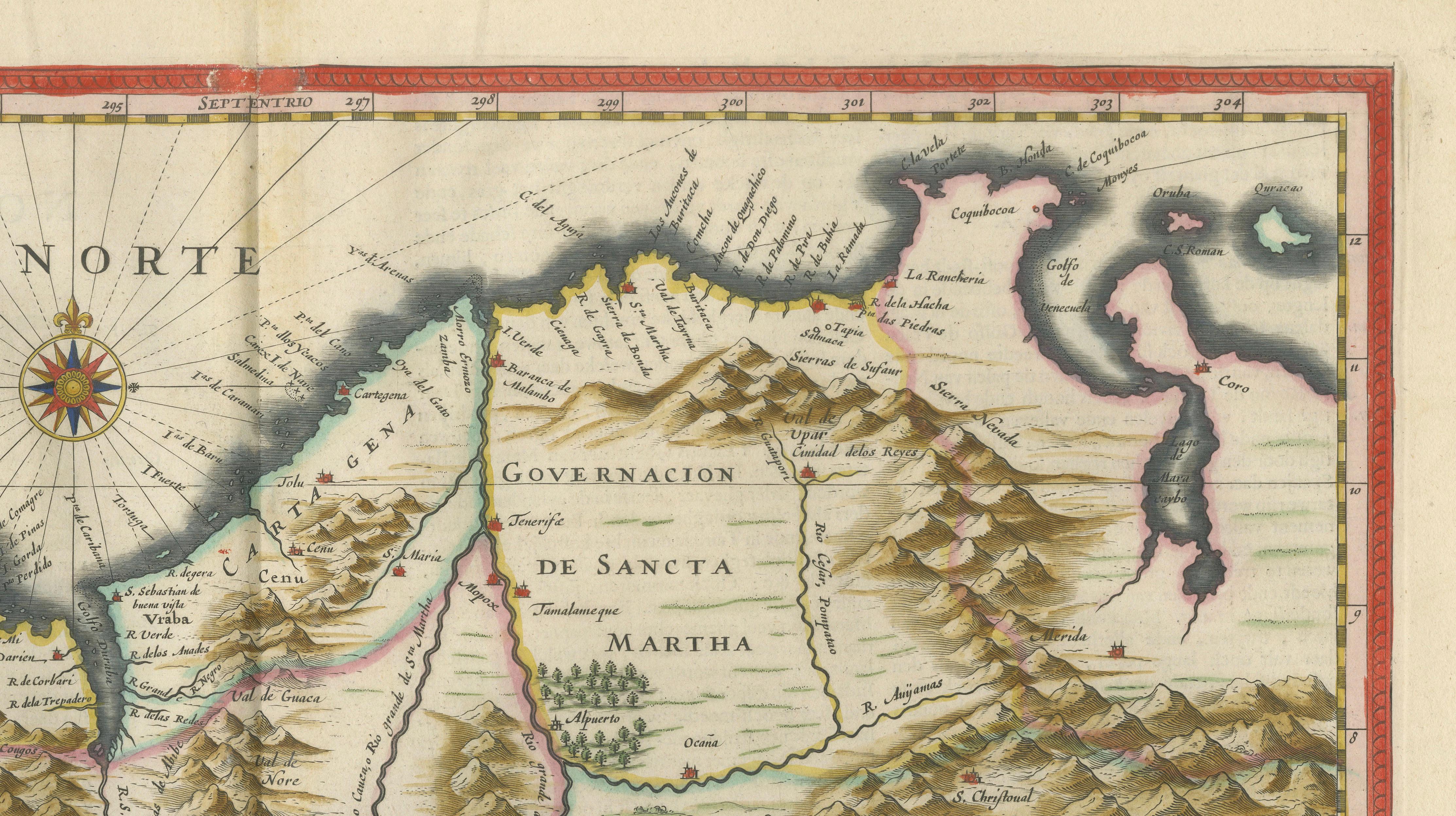
This finely engraved and beautifully hand-colored map, titled Terra Firma et Novum Regnum Granatense et Popayan, was published in Blaeu’s renowned Toonneel des Aerdrycx atlas around 1640. It depicts the northern part of South America in remarkable detail, including the Caribbean coastline, the Isthmus of Panama, and the mountainous interior shaped by the Andes. Regions such as Santa Marta, Cartagena, Popayán, and New Granada are clearly identified, reflecting the administrative and economic importance of these territories within the Spanish Empire.
The map is distinguished by its bold topography, with mountain ranges engraved in rhythmic detail across the composition, creating a striking visual texture. The coastline is elegantly outlined and complemented by compass roses and navigational lines, emphasizing maritime routes linking the Caribbean to the Pacific. A large and ornate cartouche at the right frames the title, adding a strong decorative anchor and enhancing the map’s overall balance.
Maps of Terra Firma from Blaeu’s atlas are particularly valued for their combination of historical significance and decorative appeal. Representing a key region in the early colonial world—rich in trade, exploration, and cultural exchange—this map offers both scholarly interest and strong wall presence. Its balanced composition and warm original coloring make it especially suitable for collectors seeking a refined yet impactful antique map.
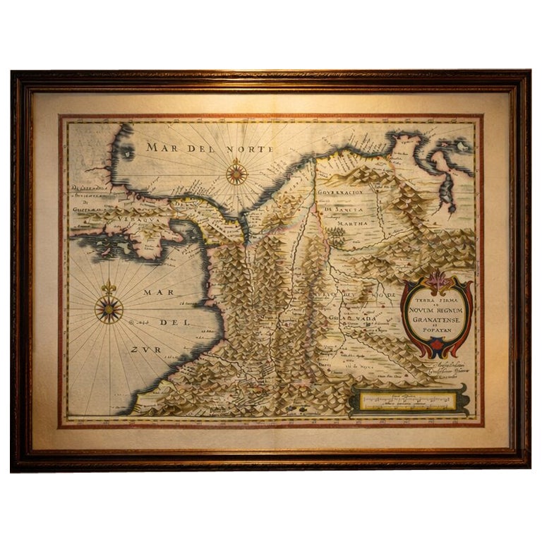
This is an original 17th-century engraving, not a reproduction. All items we offer are authentic period works of art over 100 years old. The map is sold unframed; any framed images are shown for presentation and interior inspiration only.
Condition: Good condition with age-related toning. Original center fold as issued. Light discoloration and minor wear to the margins, consistent with age. Paper remains strong and stable. A well-preserved and attractive impression.
Framing tips: This map displays beautifully in a dark walnut or ebonized frame with a wide ivory or museum-white mat, emphasizing the strong contrast between land and sea. Ideal for a study, office, or elegant interior, particularly in combination with other maps of the Spanish Americas.
Keywords: Terra Firma map, New Granada map, Colombia map, Venezuela map, Panama map, Cartagena, Santa Marta, Popayan, Bogota, Andes Mountains, Caribbean coast map, Spanish colonial South America, Blaeu South America, Willem Blaeu map, antique map South America, Dutch Golden Age cartography, 17th century engraving, Toonneel des Aerdrycx, decorative antique map, early exploration South America, colonial empire map, historical Colombia map
Technique: Copperplate engraving with original hand-coloring
Maker: Willem Blaeu, Amsterdam, c.1640