About this sheet
Blaeu Biscay Map, Basque Country Bilbao Cantabria Spain, c.1642
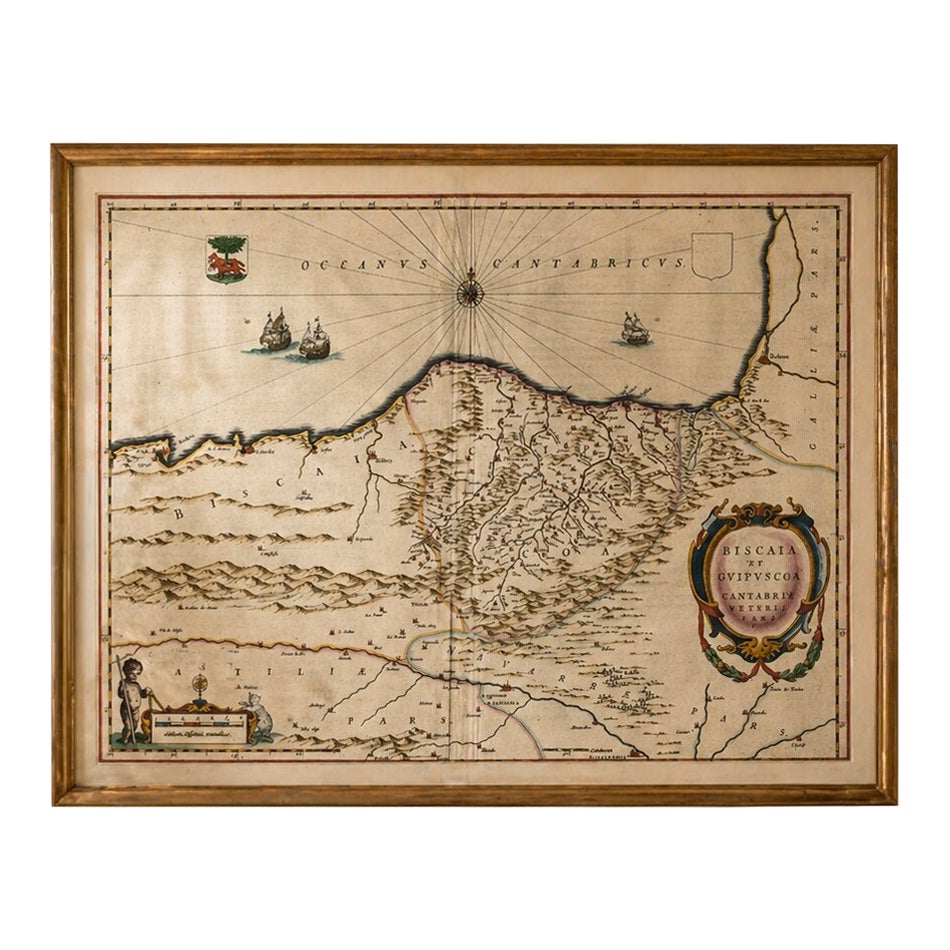
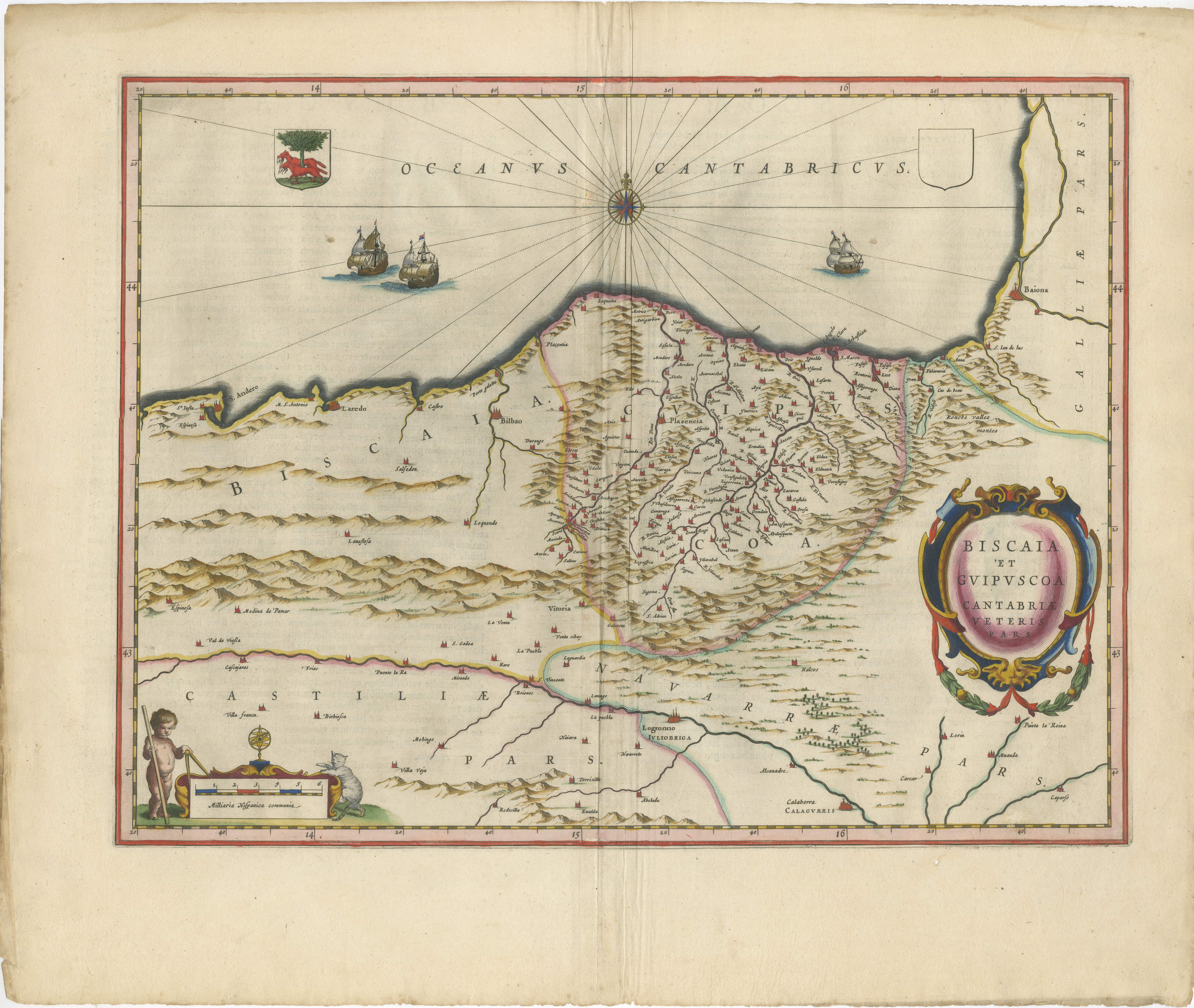
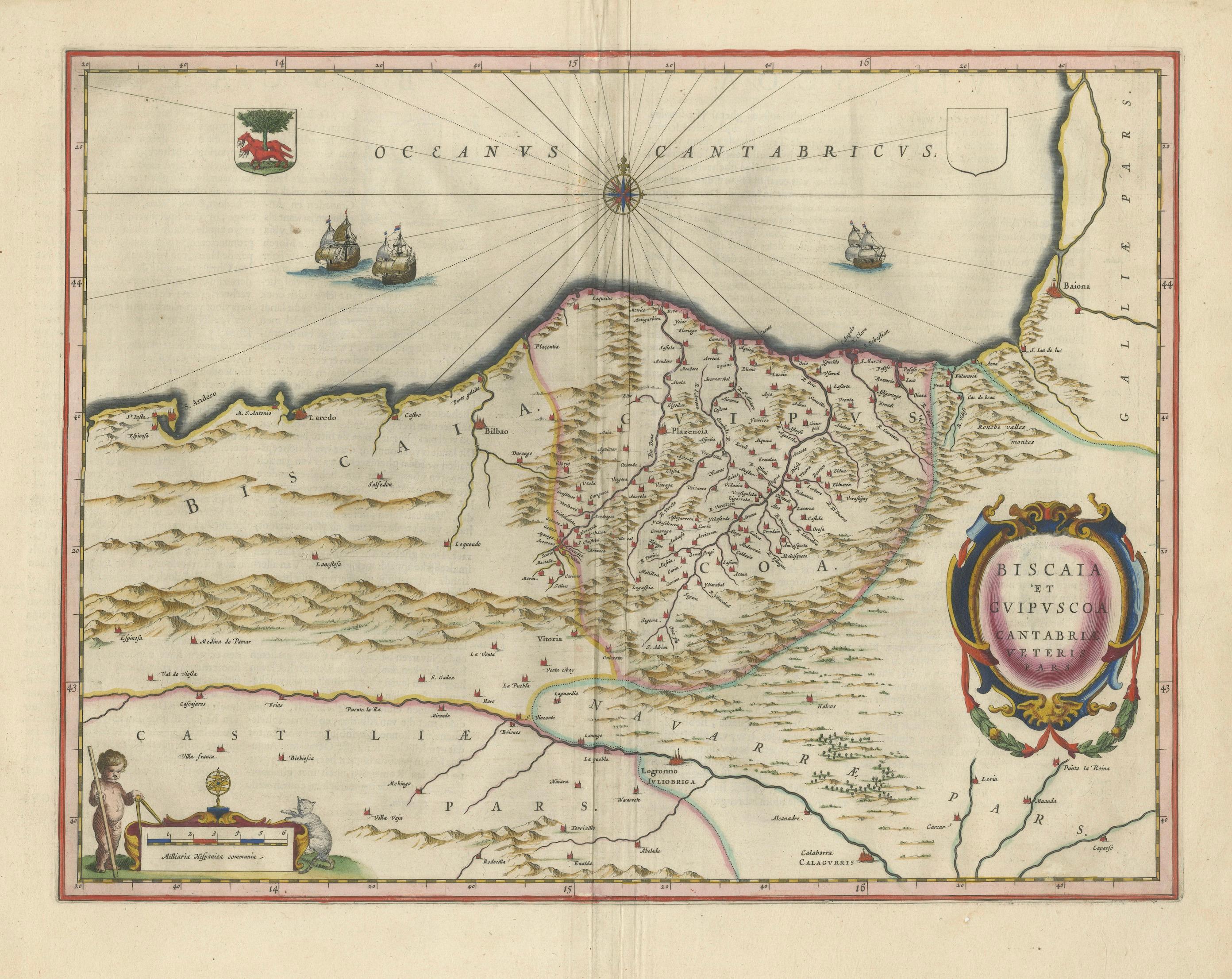
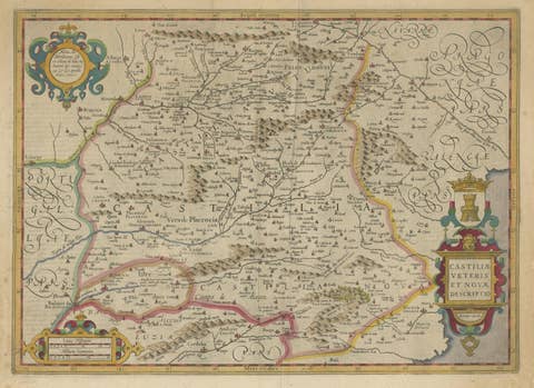
A finely engraved and highly decorative map of northern Spain, depicting the historic regions of Biscay, Guipuzcoa, and Cantabria, published by Willem and Joan Blaeu in Amsterdam around 1642. This elegant composition originates from Blaeu’s renowned atlas Toonneel des Aerdrycx, one of the most important cartographic publications of the Dutch Golden Age.
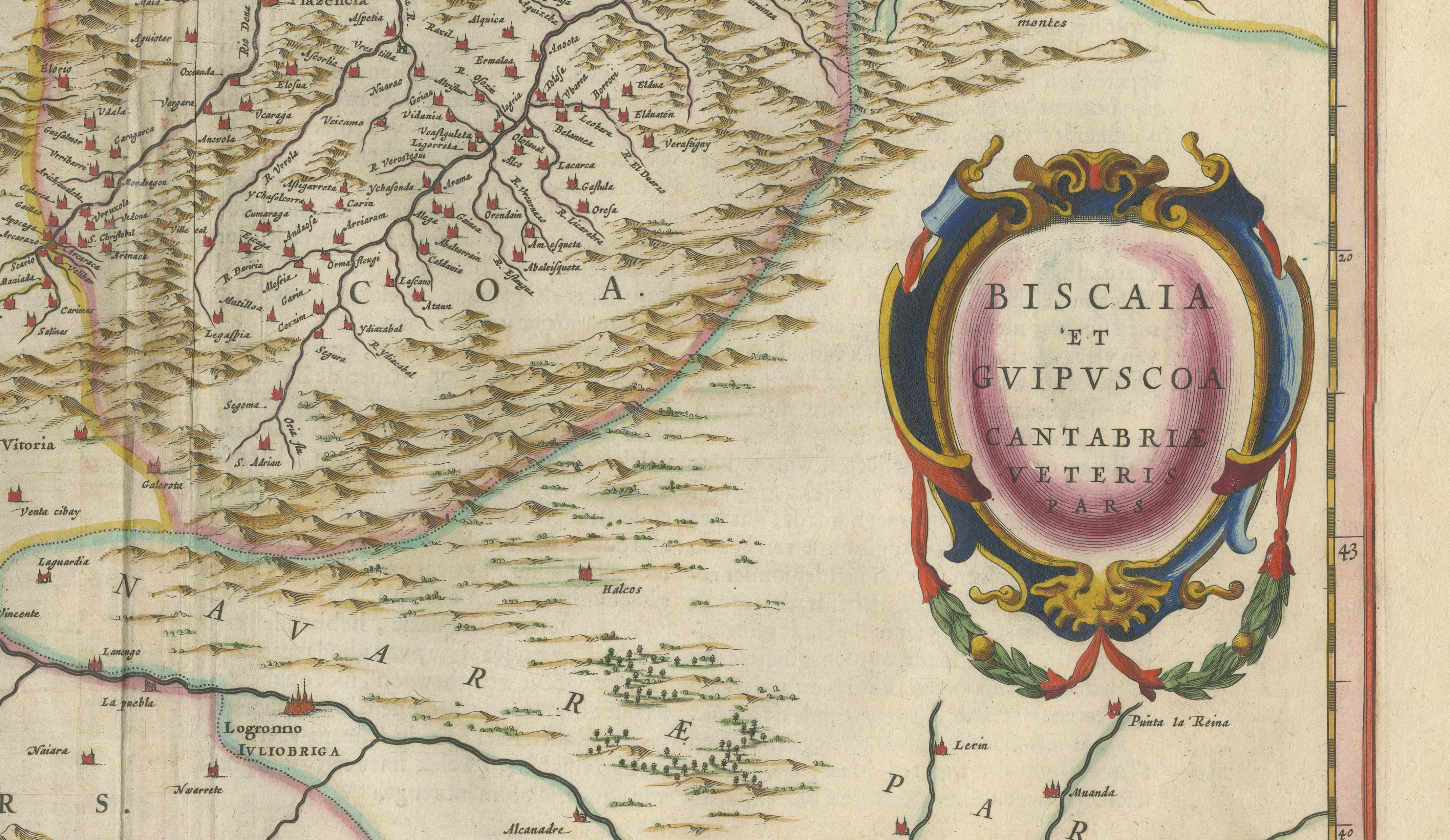
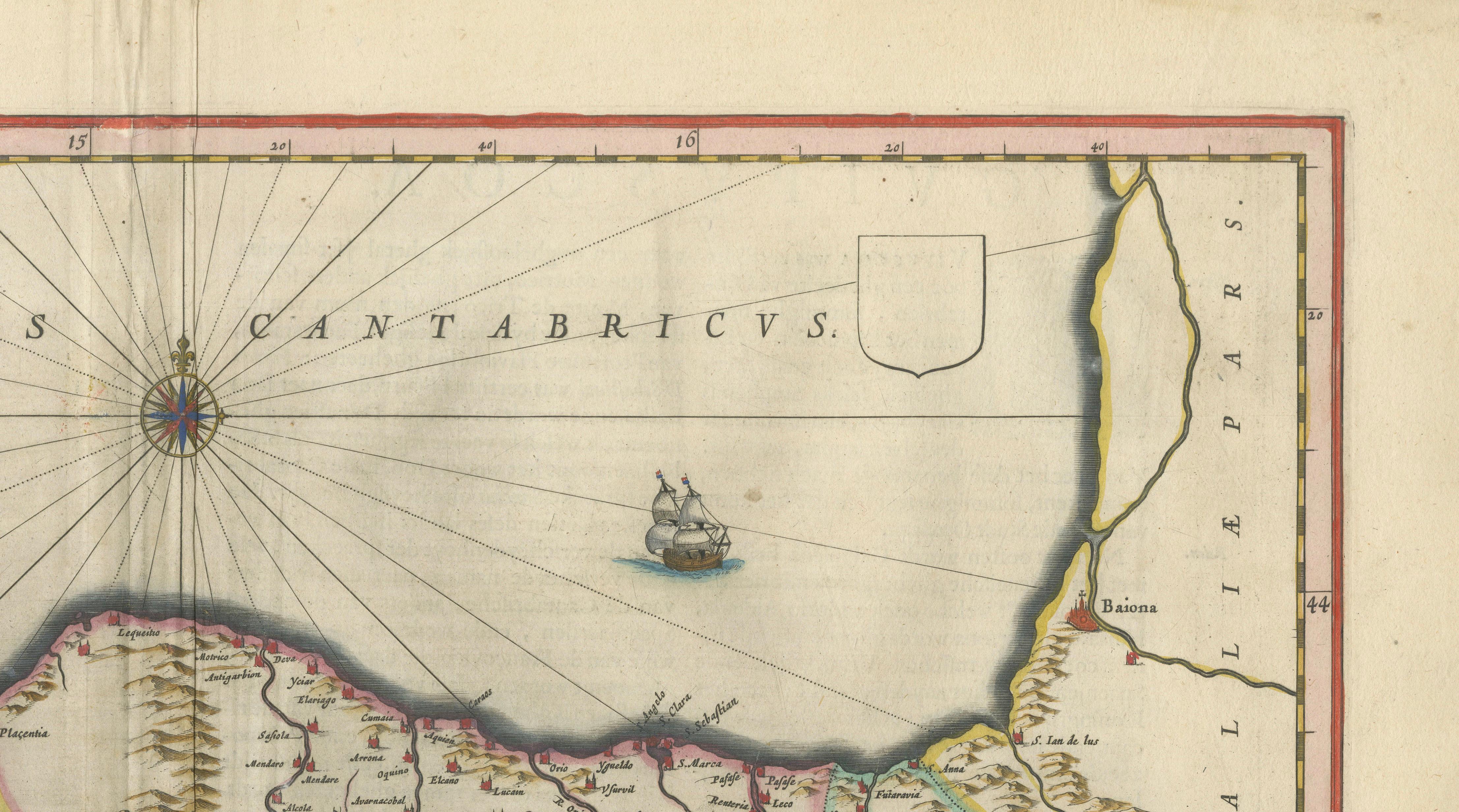
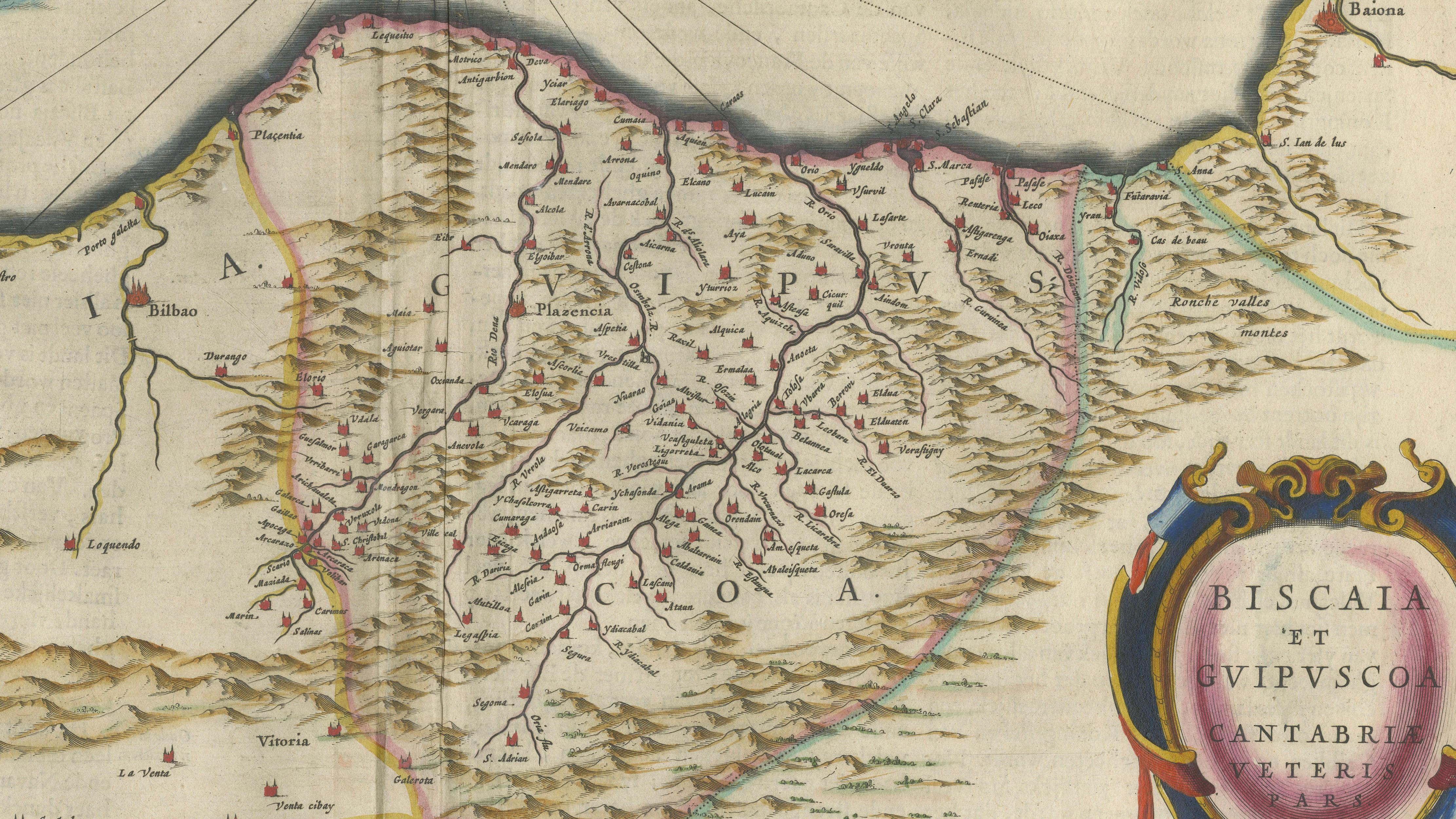
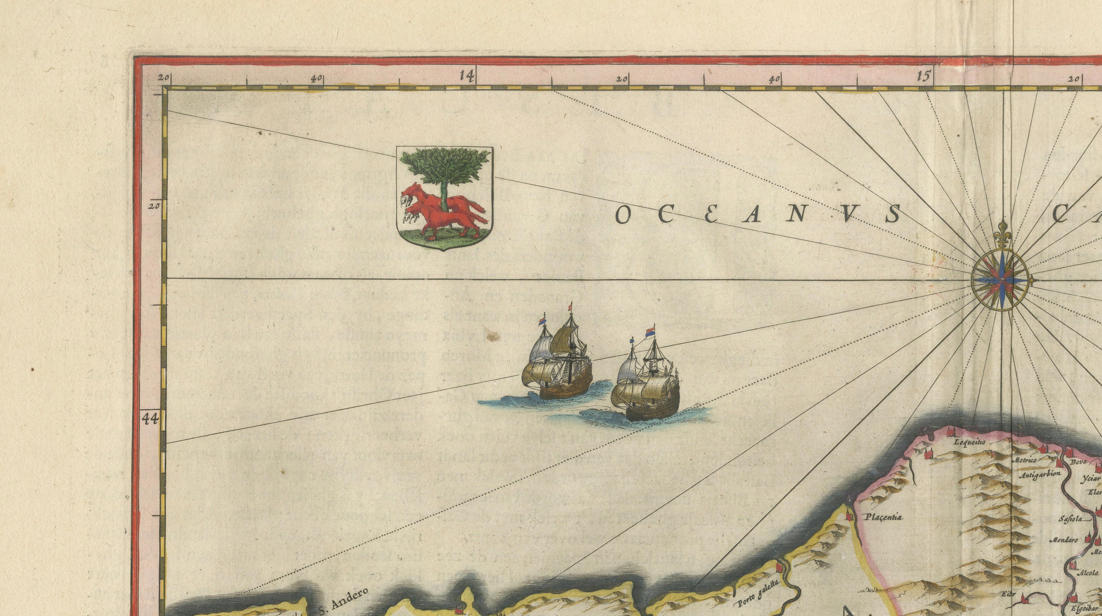
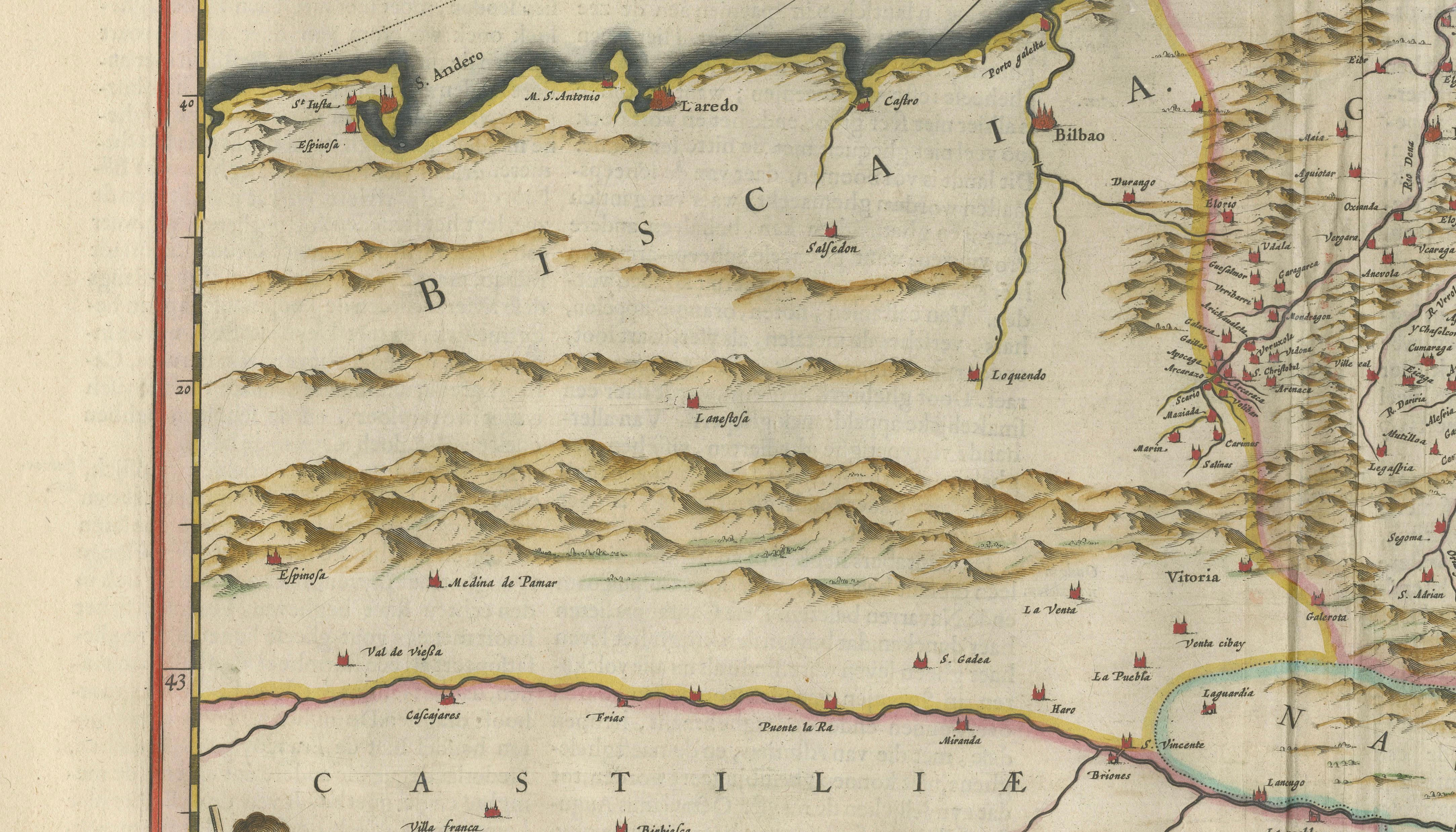
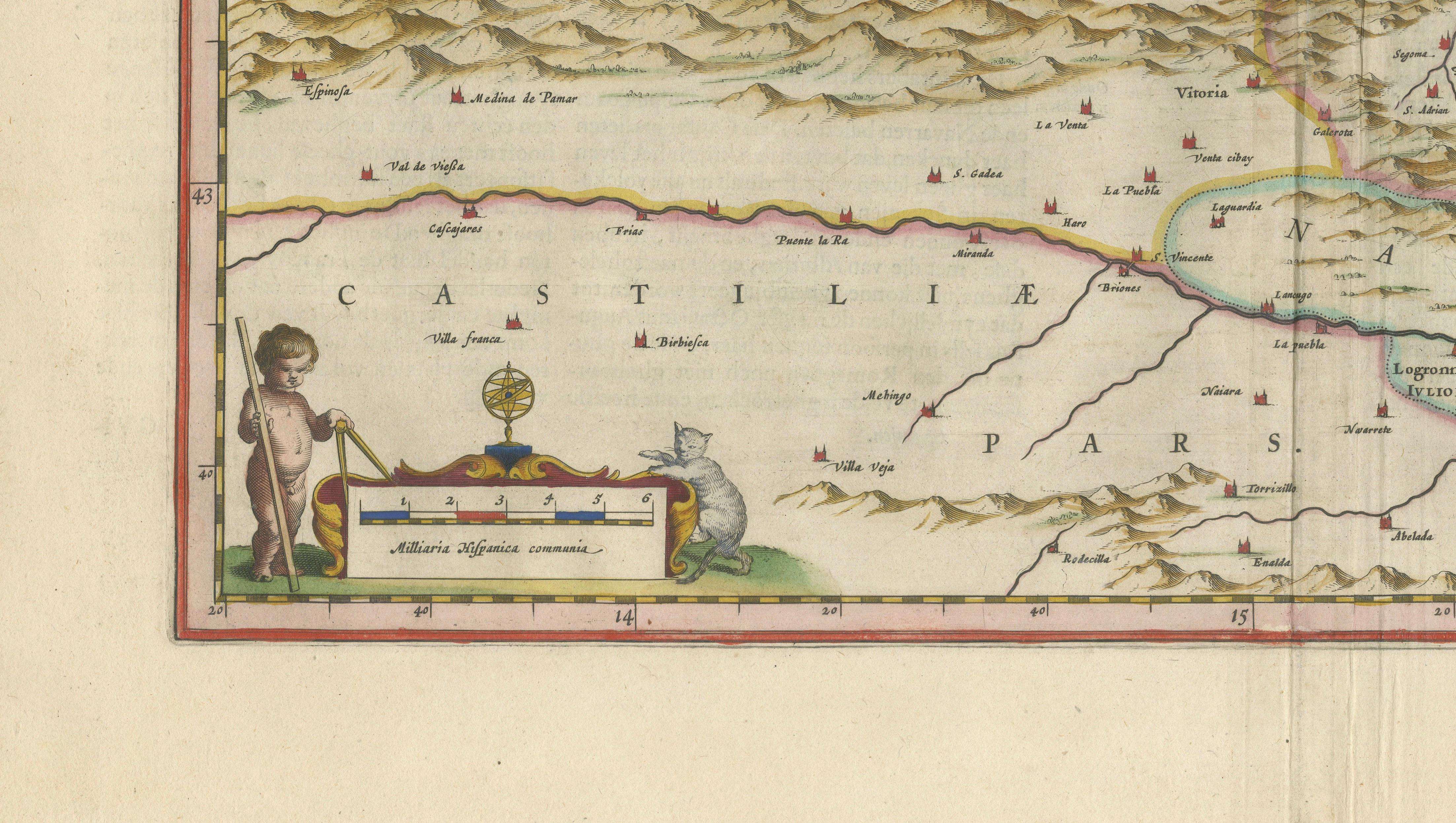
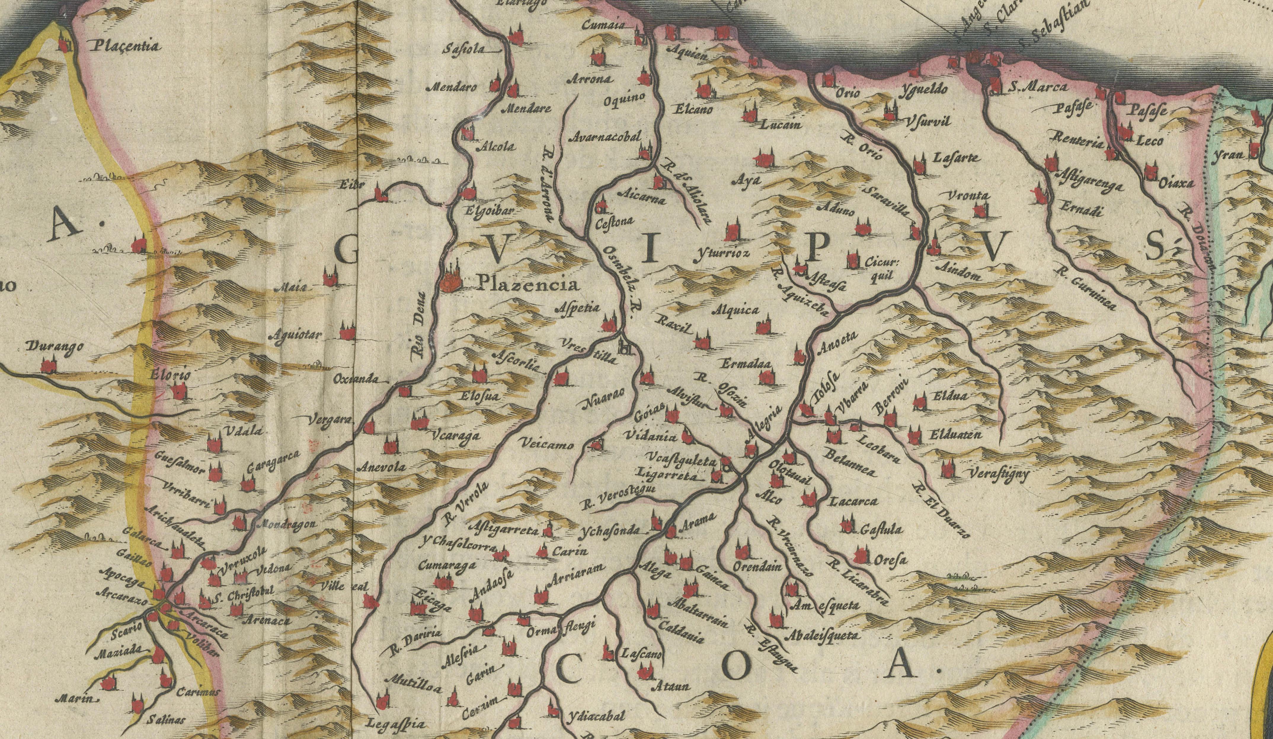
The map focuses on the rugged Atlantic coastline of northern Spain, stretching from the borders of Galicia to the western Pyrenees and the French frontier. Key cities such as Bilbao and San Sebastián are clearly identified, surrounded by a dense network of towns, rivers, and mountainous terrain, rendered with remarkable precision. The Cantabrian Sea dominates the upper portion of the map, animated by sailing vessels and a striking compass rose with radiating rhumb lines, emphasizing the maritime importance of the region.
The composition is further enhanced by a richly colored cartouche on the right, naming “Biscaya et Guipuscoa Cantabriae Veteris Pars,” framed in ornate strapwork typical of Blaeu’s decorative style. Additional heraldic elements and fine original hand coloring highlight the borders and topography, giving the map both clarity and strong visual presence.
Blaeu’s maps are celebrated for their combination of geographic accuracy and artistic refinement, and this example is no exception. Maps of the Basque region are particularly appealing due to their distinctive geography, cultural identity, and coastal character, making this a desirable piece for collectors of Spanish cartography and for interior designers seeking a refined yet dynamic wall piece.
A beautiful and balanced example of 17th-century Dutch cartography, ideal for collectors of Blaeu atlas maps, regional Spanish history, or coastal and maritime themes.
Condition:
Good condition overall for its age, with central fold as issued. Light toning and minor foxing consistent with age. Wide margins. The engraving remains sharp with attractive original hand coloring. Any small imperfections are typical for works of this period and do not detract from the overall presentation.
Framing tips:
This map displays particularly well in a dark walnut or ebonized frame with a wide ivory or off-white mat, enhancing the contrast between the coastline and the sea. For a lighter, coastal interior, a slim black or natural wood frame with a museum-style mount creates a fresh and elegant presentation. A generous matting is recommended to give the piece strong wall presence.
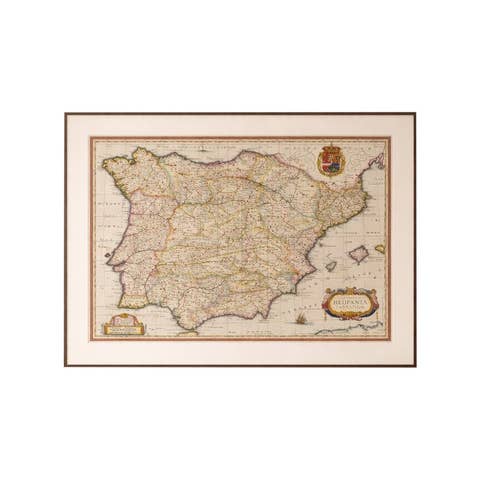
Special note: This is an original 17th-century map, not a reproduction. All items we offer are authentic period works of art over 100 years old. The map is sold unframed; any framed images are shown for presentation and interior inspiration only and may not always be to scale.
Keywords:
Biscay map, Basque Country map, Bilbao map, Cantabria map, northern Spain map, Blaeu Biscay, 17th century Spain map, Atlantic coast map Spain, Basque antique map, Spanish cartography, Blaeu atlas map, Guipuzcoa map, Cantabrian Sea map, decorative antique map Spain, Willem Blaeu map, Joan Blaeu map, old map Bilbao, San Sebastian antique map, maritime map Spain, Iberian Peninsula north
Technique: Copperplate engraving with original hand coloring
Maker: Willem & Joan Blaeu, Amsterdam, circa 1642