About this sheet
Blaeu Map of Castile Spain, Castilla León Madrid Toledo c.1642
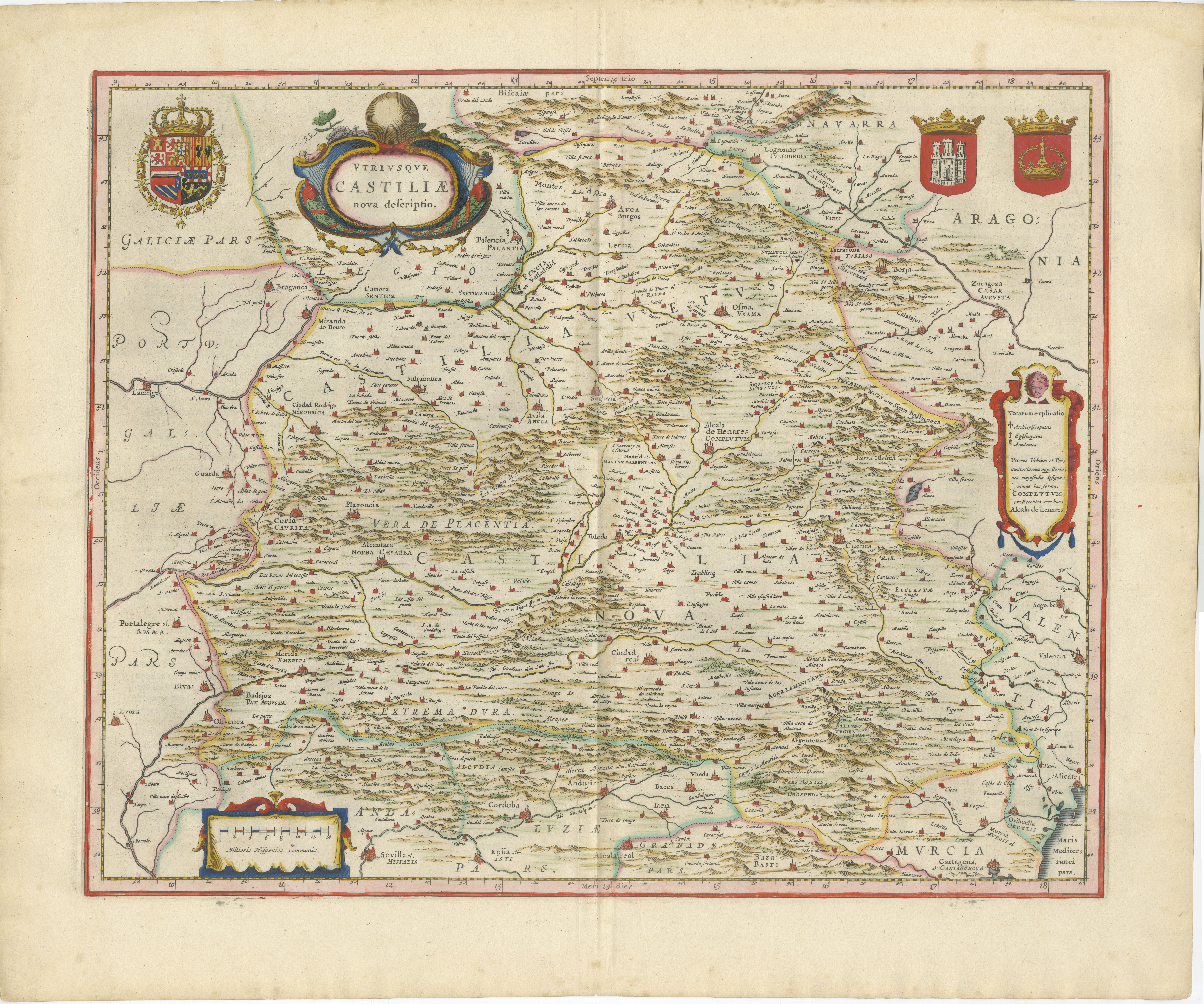
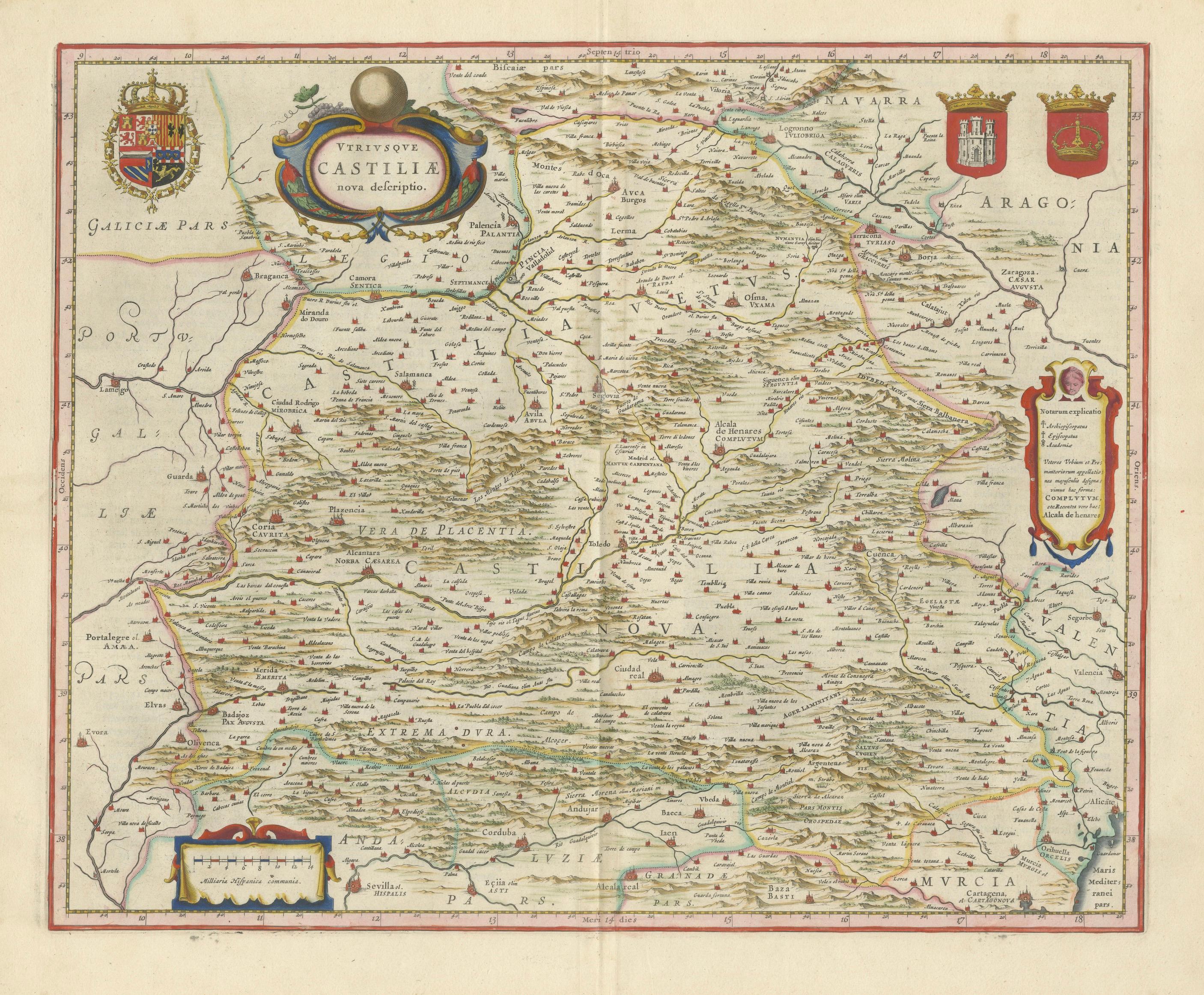
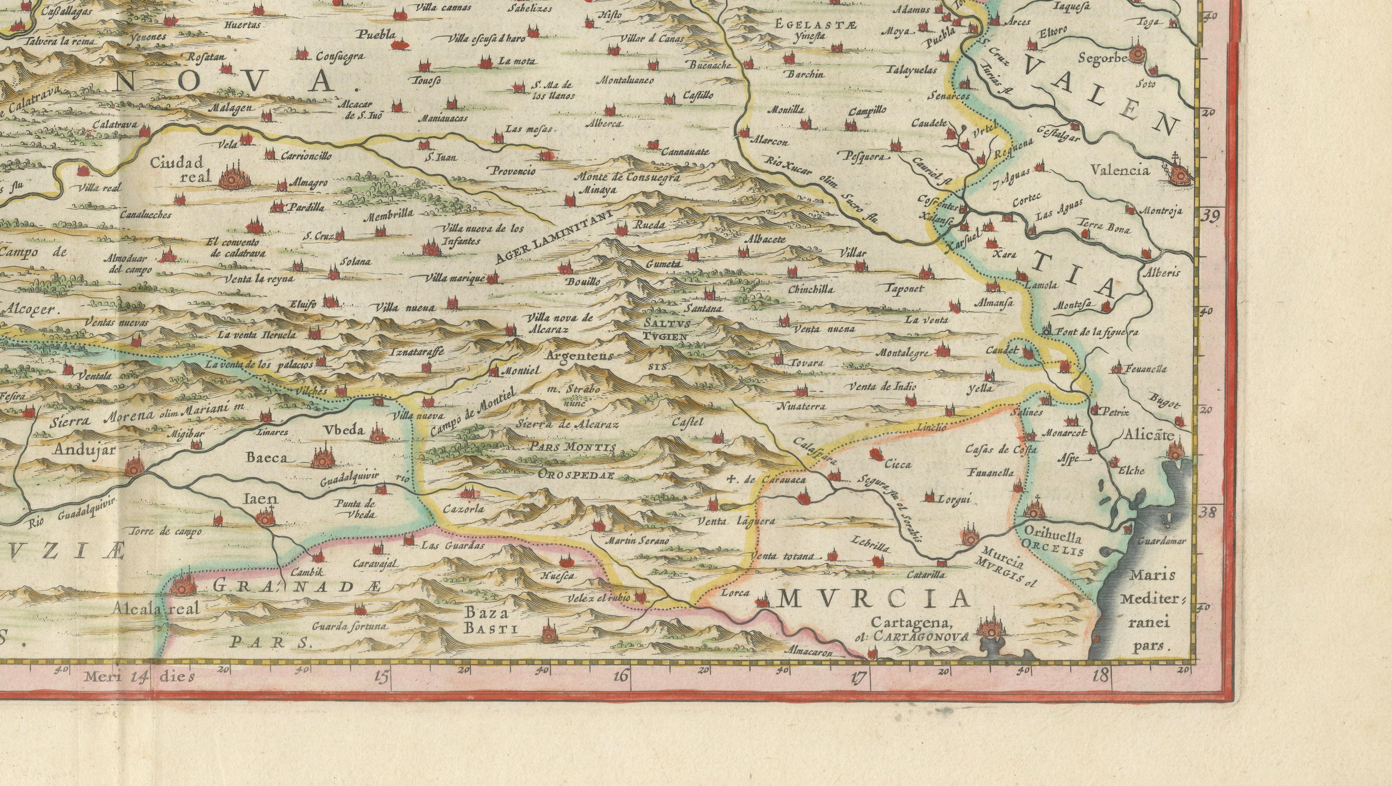
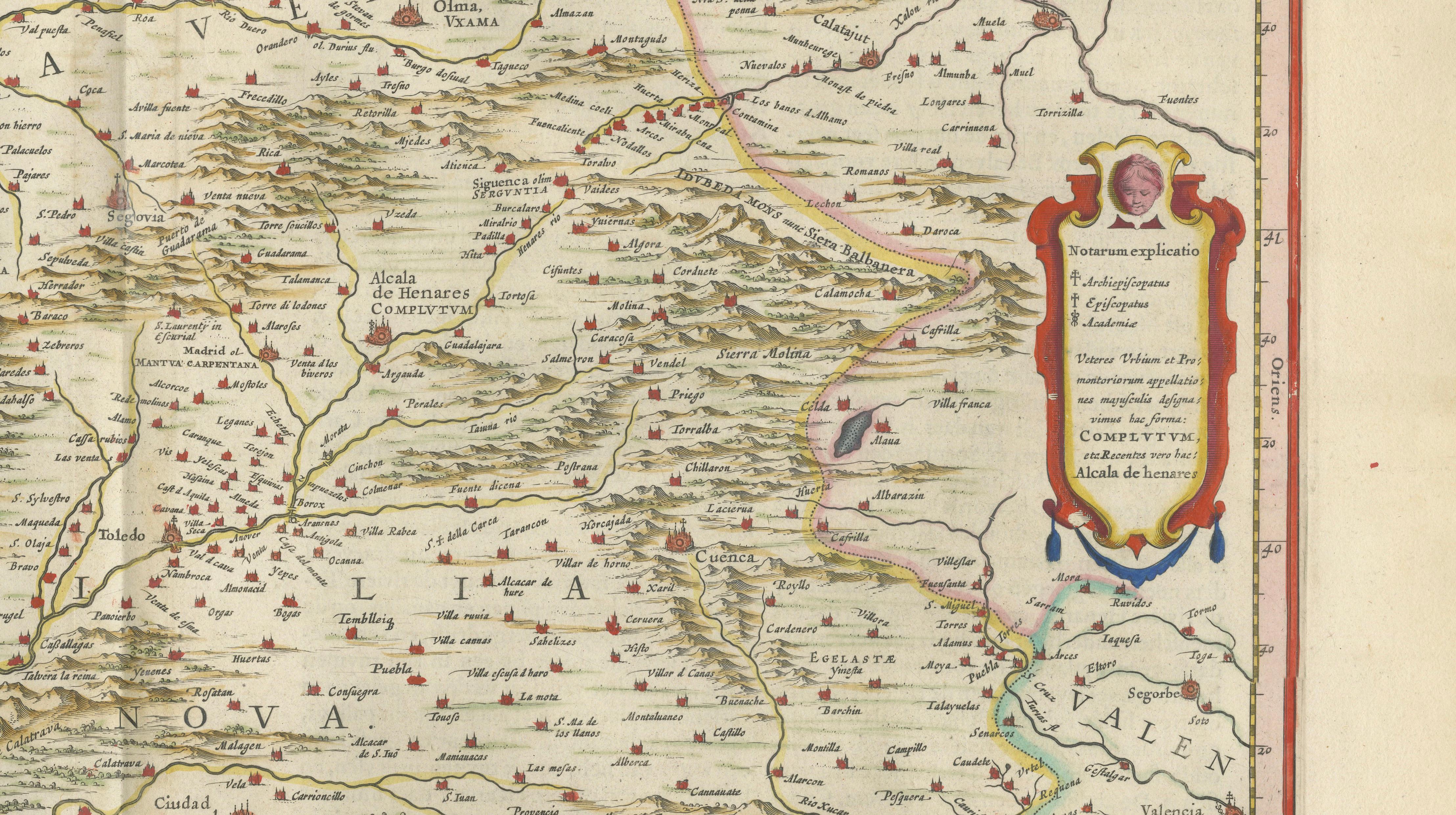
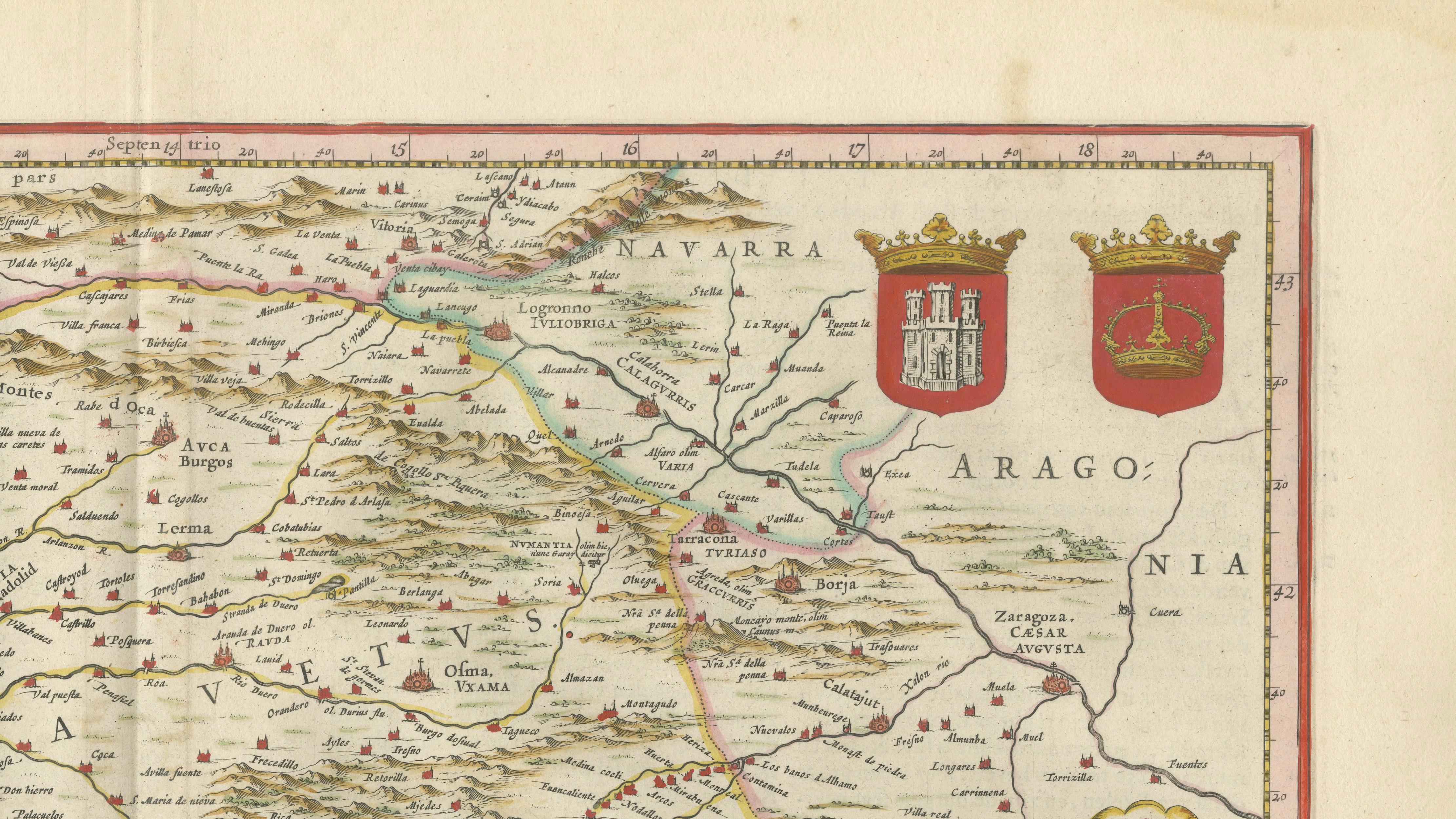
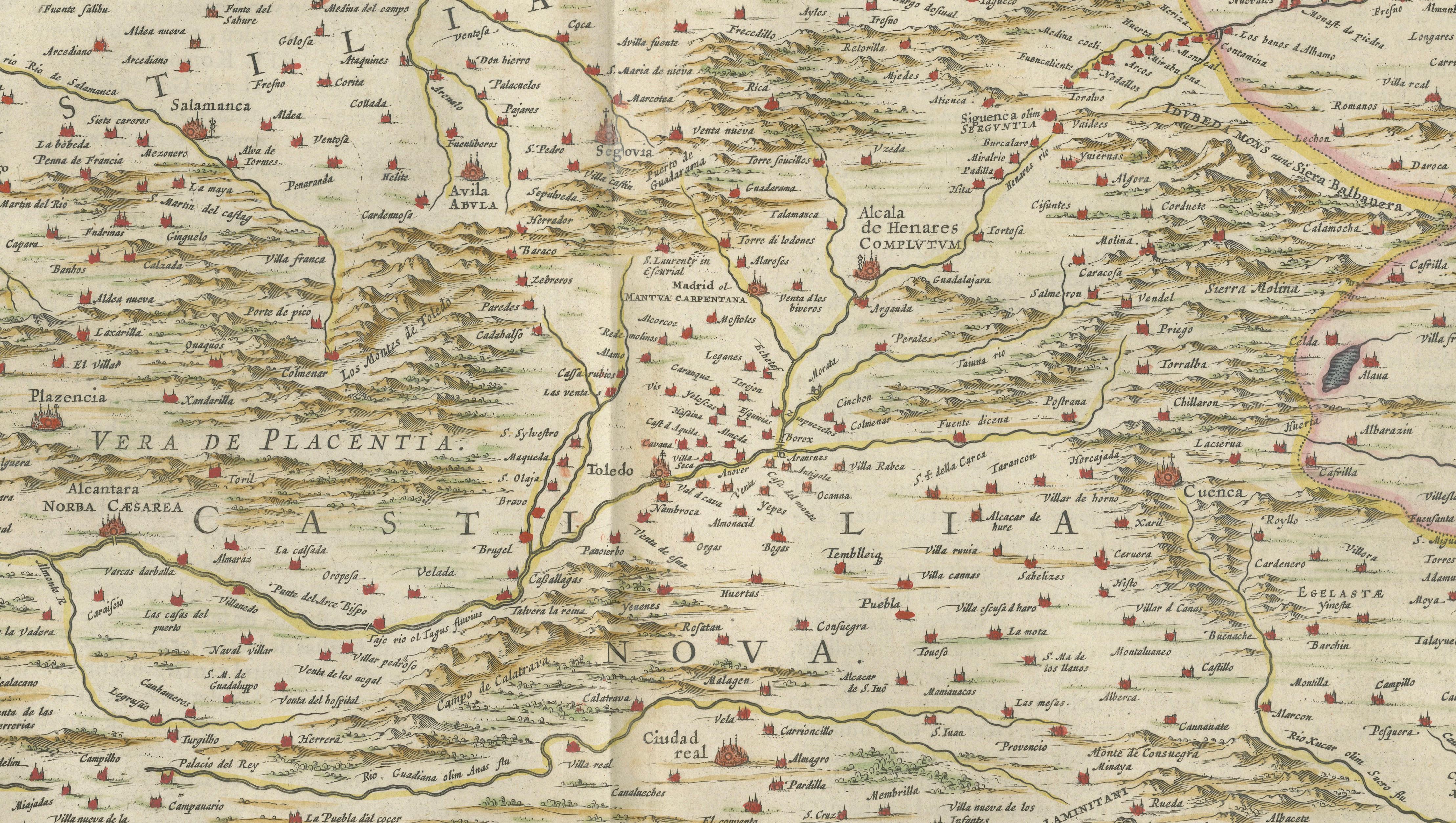
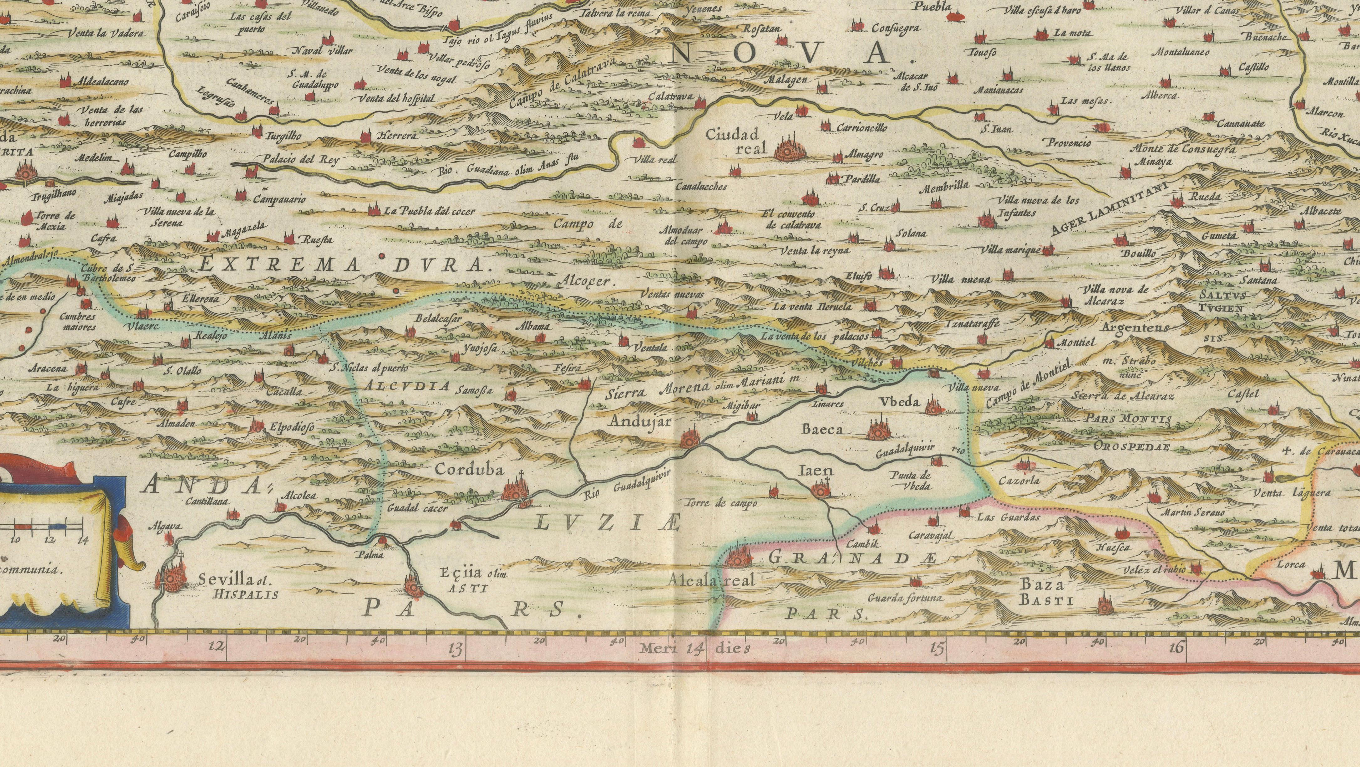
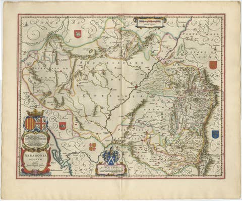
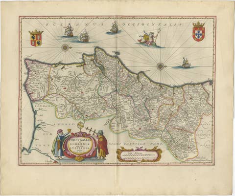
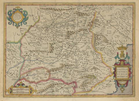
This finely engraved and beautifully hand-colored map depicts the historic kingdoms of Castile in central Spain, extending across much of the Iberian Peninsula’s political and cultural heartland. Produced by Willem and Joan Blaeu during the Dutch Golden Age of cartography, the map originates from the celebrated atlas Toonneel des Aerdrycx, one of the most luxurious and influential atlases of the 17th century.
Entitled “Vtrivsqve Castiliae nova descriptio,” the map illustrates both Old and New Castile with remarkable detail, covering regions that today include Castilla y León, Castilla–La Mancha, Madrid, Extremadura, and surrounding territories. Hundreds of towns, rivers, mountain chains, and roads are carefully engraved throughout the composition, reflecting the extraordinary precision and artistic sophistication for which the Blaeu firm became renowned.
Important cities including Madrid, Toledo, Salamanca, Burgos, Valladolid, Segovia, Ávila, Cuenca, Badajoz, Córdoba, and Valencia are prominently identified. The map also extends toward Aragón, Navarra, Galicia, Murcia, and Portugal, making it an exceptionally rich geographic portrait of inland Spain during the early modern period. Mountain ranges are rendered in Blaeu’s elegant pictorial style, creating a highly decorative visual texture across the landscape.
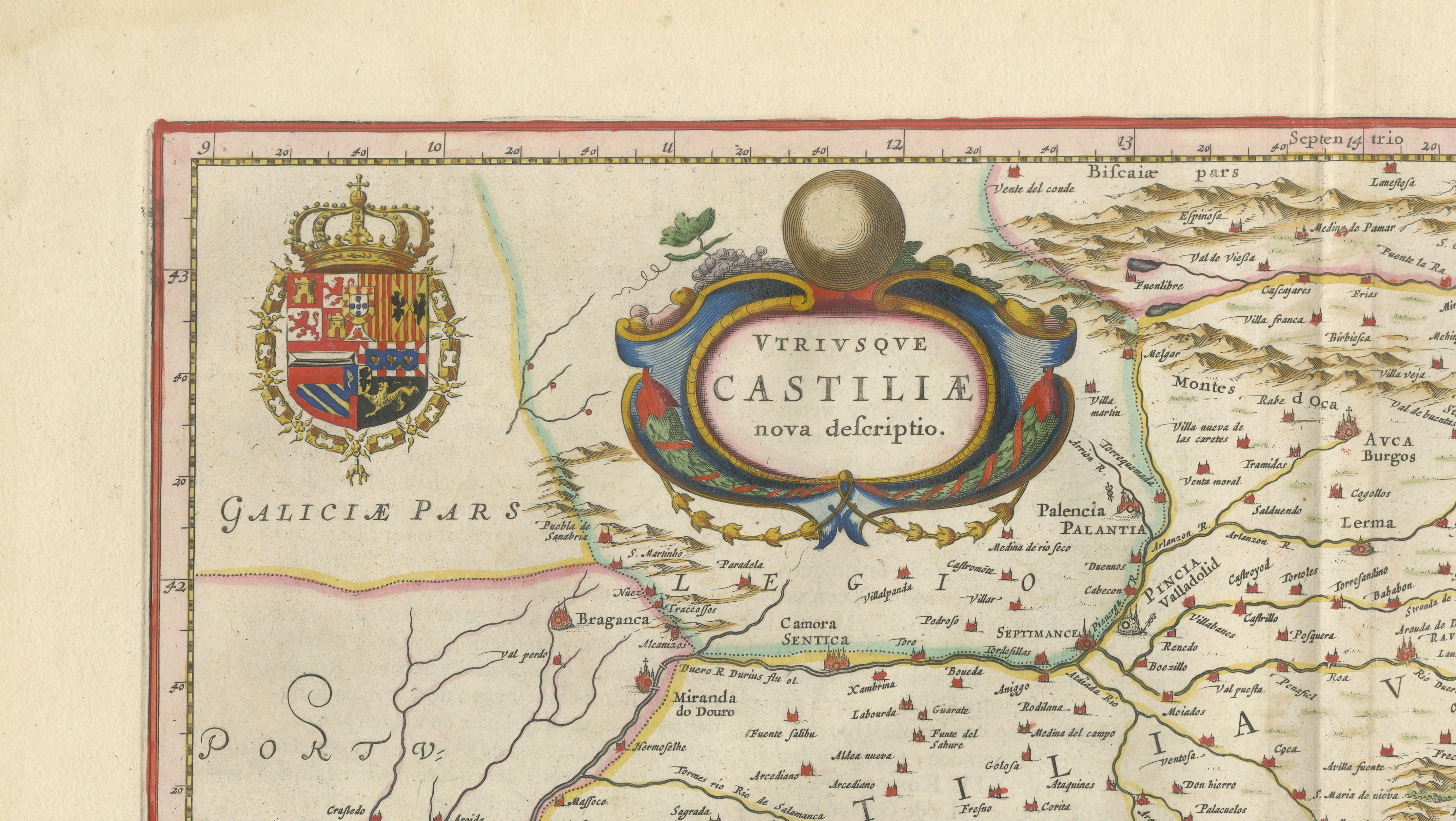
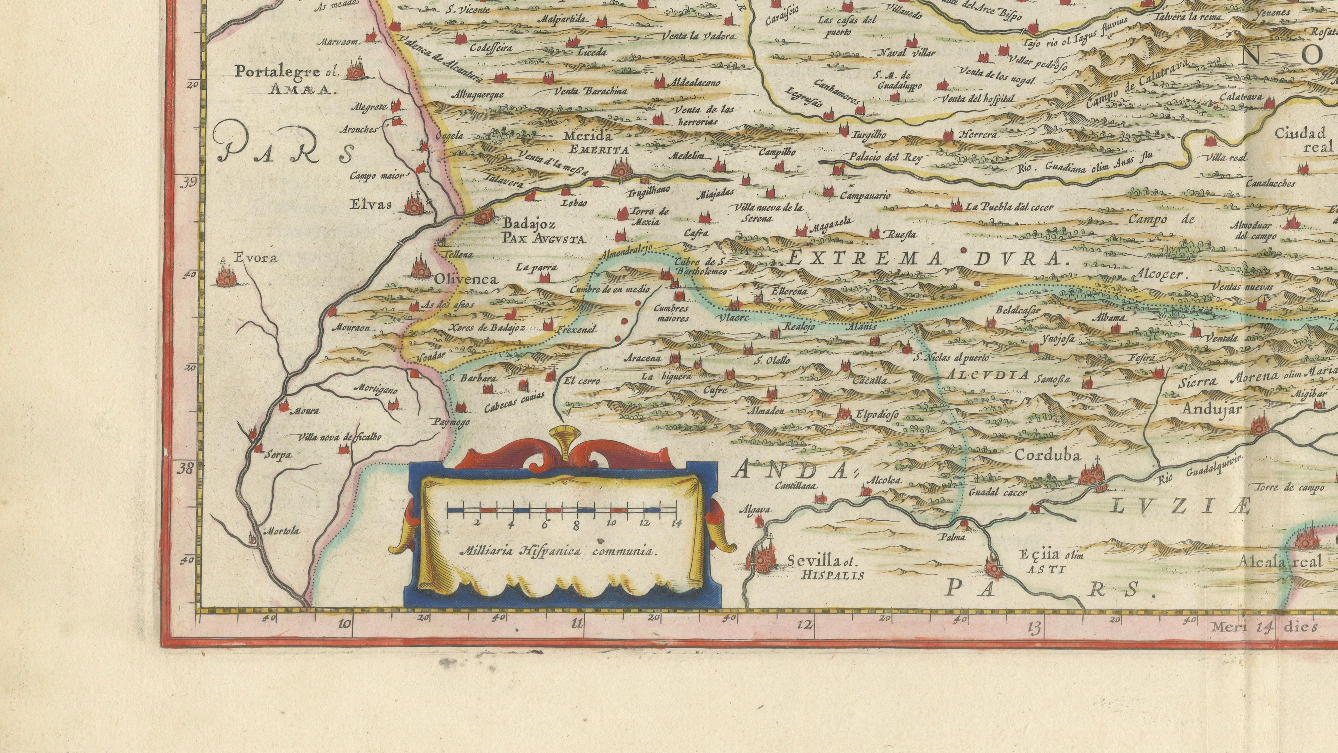
The composition is enriched by several ornamental elements, including royal heraldic coats of arms, a decorative title cartouche, and an elaborate mileage scale. The subtle original hand color enhances both the political boundaries and decorative details while preserving the refined elegance associated with Blaeu atlas maps.
Maps of Spain from the Blaeu atlases are among the most sought-after examples of Dutch Golden Age cartography, admired both for their historical importance and their extraordinary decorative appeal. The present example offers a strong balance of cartographic detail and interior-design presence, making it equally suitable for collectors, libraries, studies, or sophisticated Mediterranean-inspired interiors.
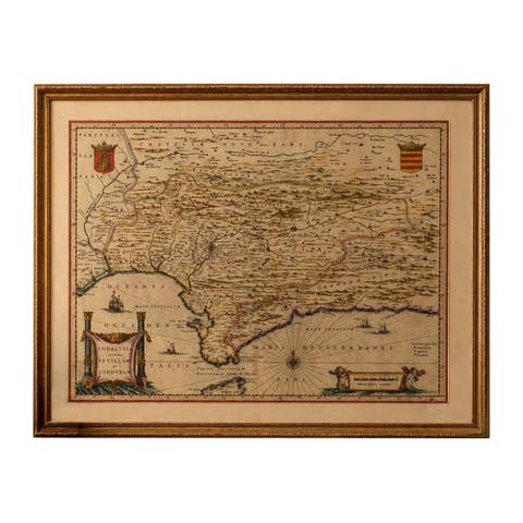
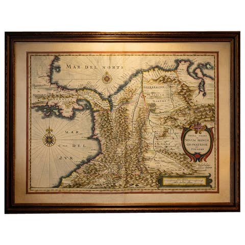
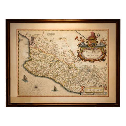
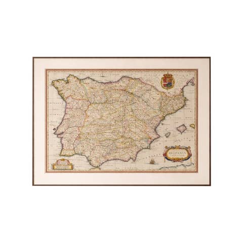
This map displays beautifully framed in dark walnut, black lacquer, or lightly gilt frames with wide ivory or cream mats. Its balanced composition and intricate engraved detail make it especially suitable for libraries, studies, Spanish interiors, or refined gallery walls.
Special note: This is an original 17th-century map, not a reproduction. All items we offer are authentic period works of art over 100 years old. The map is sold unframed; any framed images are shown for presentation and interior inspiration only and may not always be on scale with the original.
Condition:
Good antique condition with age-related toning and minor wear. Original centerfold as issued. Some light marginal wear and small age-related imperfections consistent with use and age. Attractive original hand color and strong impression. Wide margins and visible plate mark.
Framing Tips:
This map displays exceptionally well in dark walnut, ebonized, or black lacquer frames paired with wide cream or ivory mats. A thin gilt fillet can enhance the heraldic decoration and subtle original coloring while maintaining an elegant museum-style presentation.
Technique: Copperplate engraving with original hand coloring
Maker: Willem Janszoon Blaeu and Joan Blaeu, Amsterdam, circa 1642
Keywords:
Castile, Castilla, Castilla y León, Castilla La Mancha, Spain, Madrid, Toledo, Salamanca, Burgos, Valladolid, Segovia, Ávila, Cuenca, Extremadura, Badajoz, Valencia, Aragón, Navarra, Galicia, Murcia, Portugal, Iberian Peninsula, Blaeu map, Willem Blaeu, Joan Blaeu, Toonneel des Aerdrycx, Dutch Golden Age cartography, antique map Spain, 17th century map, Spanish kingdoms, old map Castile, decorative cartography, hand colored map, copperplate engraving, historical Spain map, collectible map Spain, Madrid antique map, Toledo antique map, Iberian map, atlas map Spain, Blaeu atlas, original antique map, Dutch cartographer, European antique maps, old Spanish map, map with cartouche, heraldic map, museum quality map