Maps & PrintsBartele Gallery · Langweer
Home / Antique Maps / Europe / Southern Europe

Southern Europe

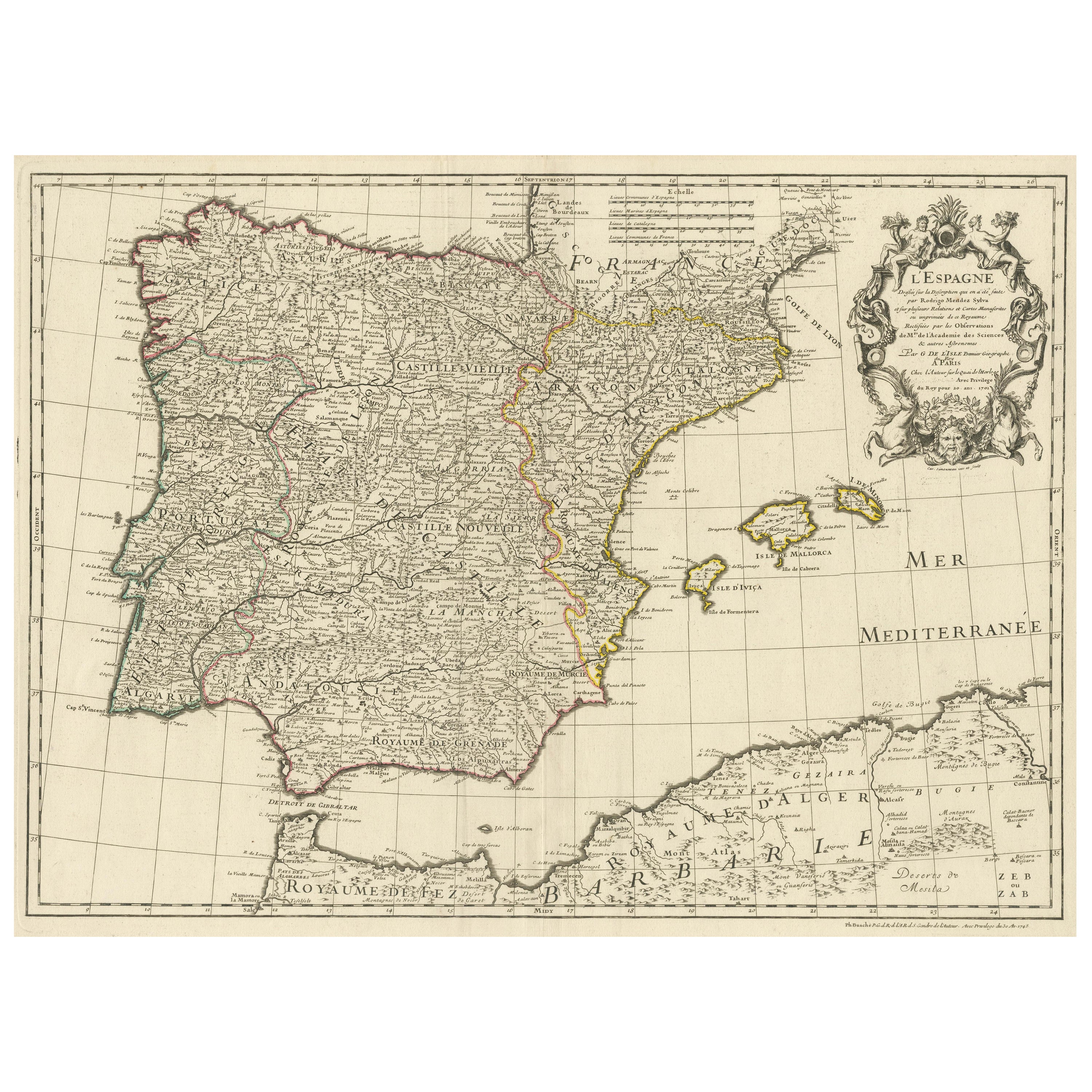

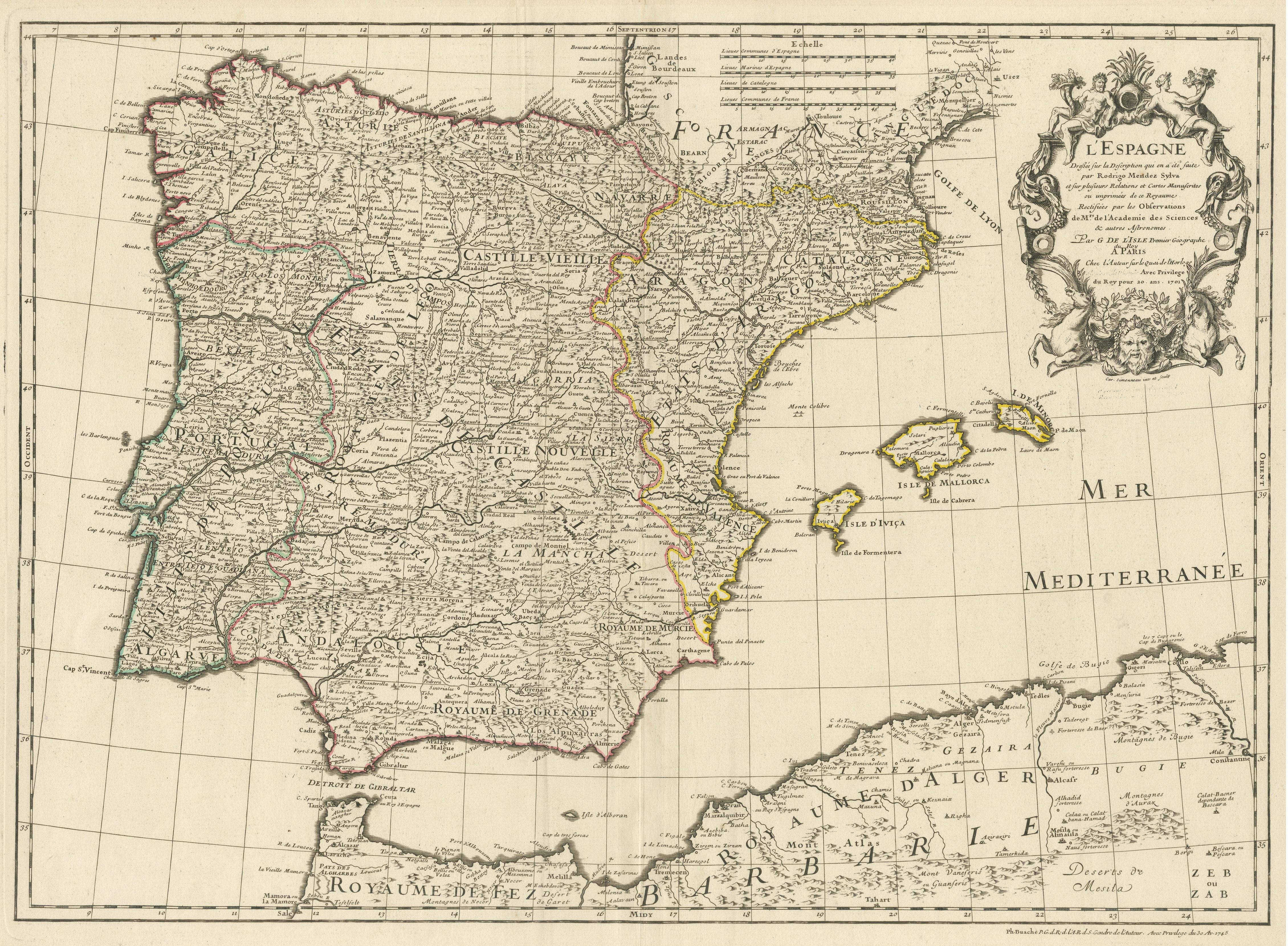
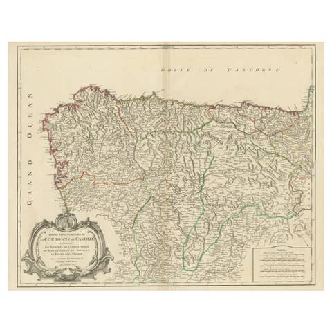
Large Decorative Map of the Iberian Peninsula

€ 790

One of a kind: this is the sheet in the photographs. Ships from Langweer, the Netherlands.

Sheet size
49.8 × 66.8 cm (19.6 × 26.3 in)
Condition
Good
Reference
BG-13433-3

Condition

General age-related toning. Original folding line. Minor wear and soiling. Blank verso. Please study image carefully.

About this sheet

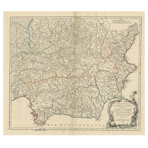
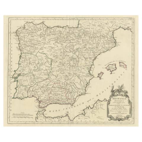
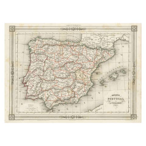
Antique map titled 'L'Espagne (..)'. Large map of the Iberian Peninsula, including the Balearic Islands and part of the north coast of Africa. The map is based on the cartography of Rodrigo Mendez Sylva. The sheet is filled with detail and decorated with a beautiful title cartouche featuring Zephyrus, the Greek god of the west wind and Chloris, the goddess of spring and flowers. Originally published by Guillaume de l'Isle 1701, updated and republished by Philippe Buache in 1745 (signed lower right).

More from Southern Europe

Ask about this sheet

Large Decorative Map of the Iberian Peninsula
Ref. BG-13433-3 · € 790
We reply by email, usually within one working day.