About this sheet
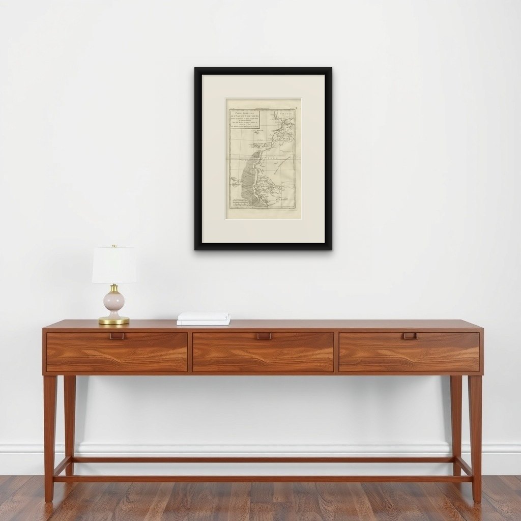
Antique Map West Africa Morocco Canary Islands Lisbon Sierra Leone Bonne c1780
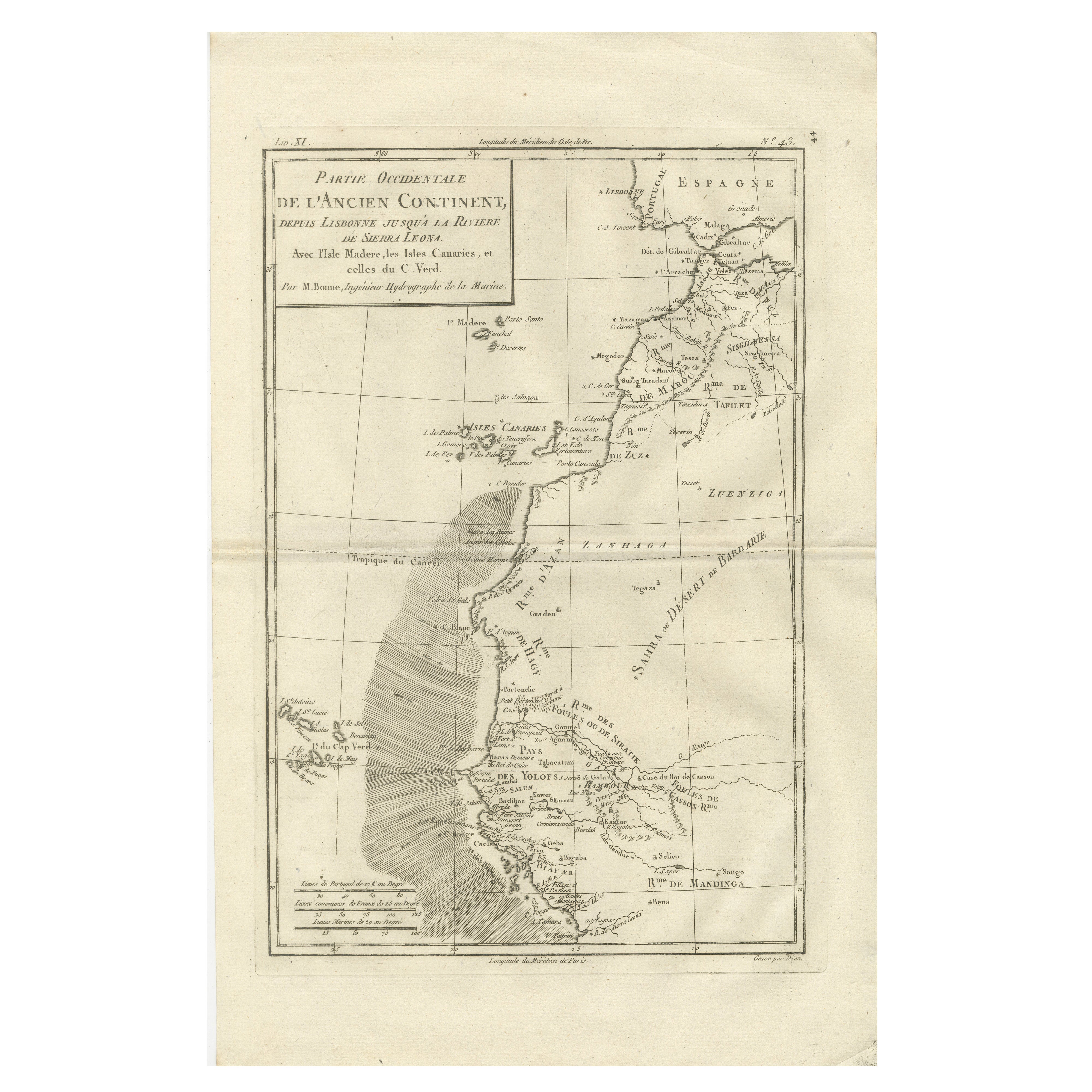
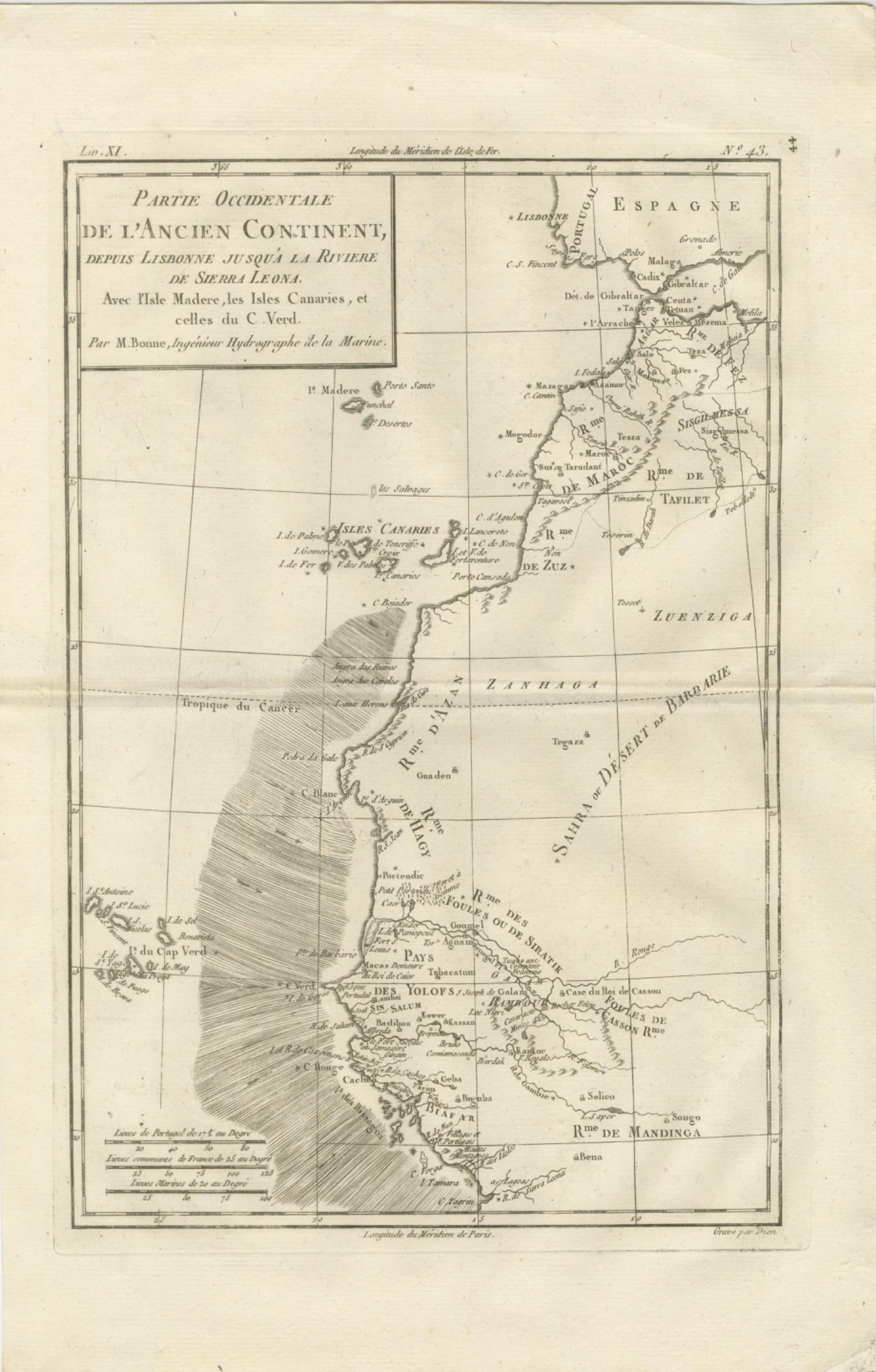
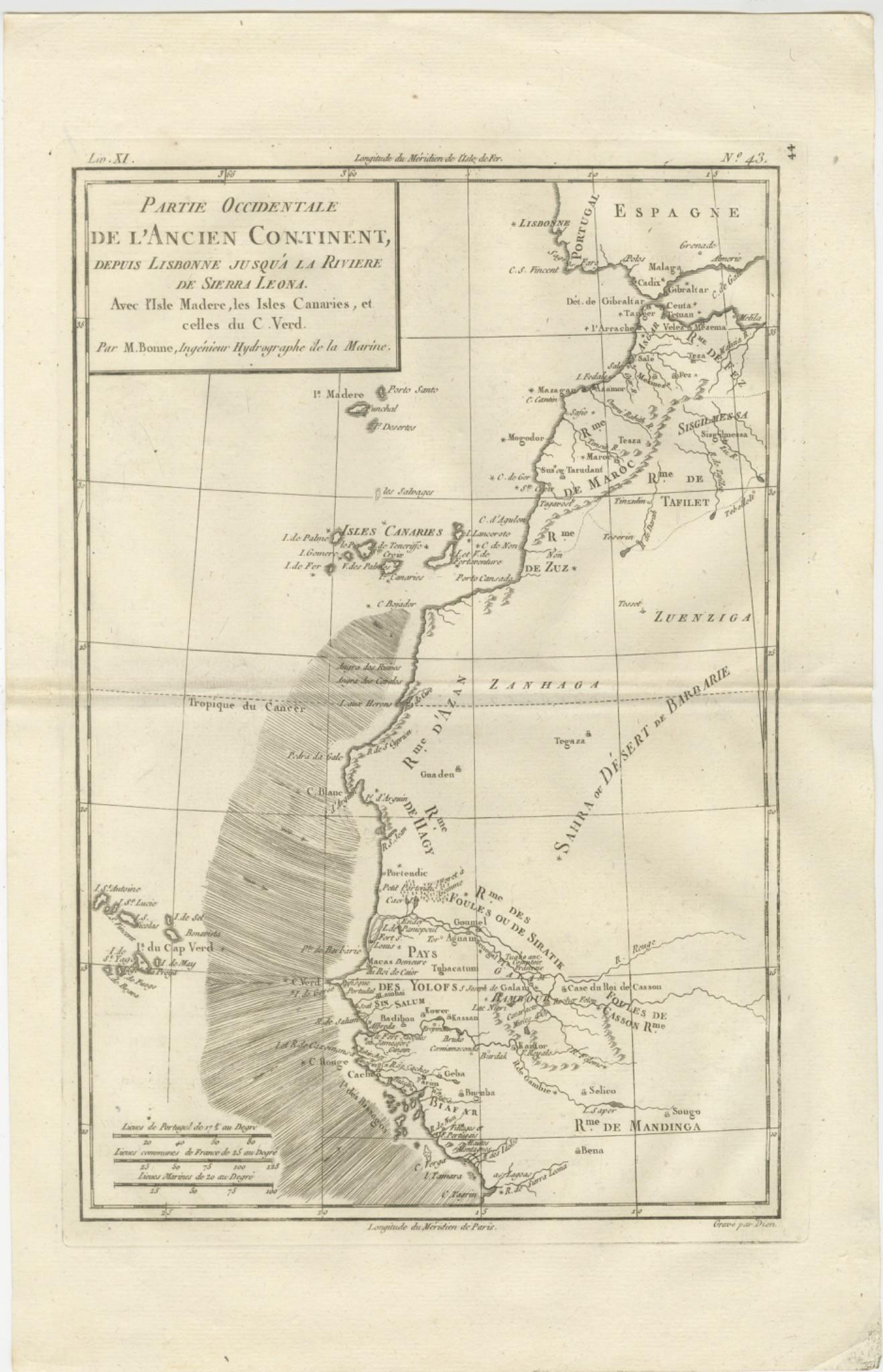
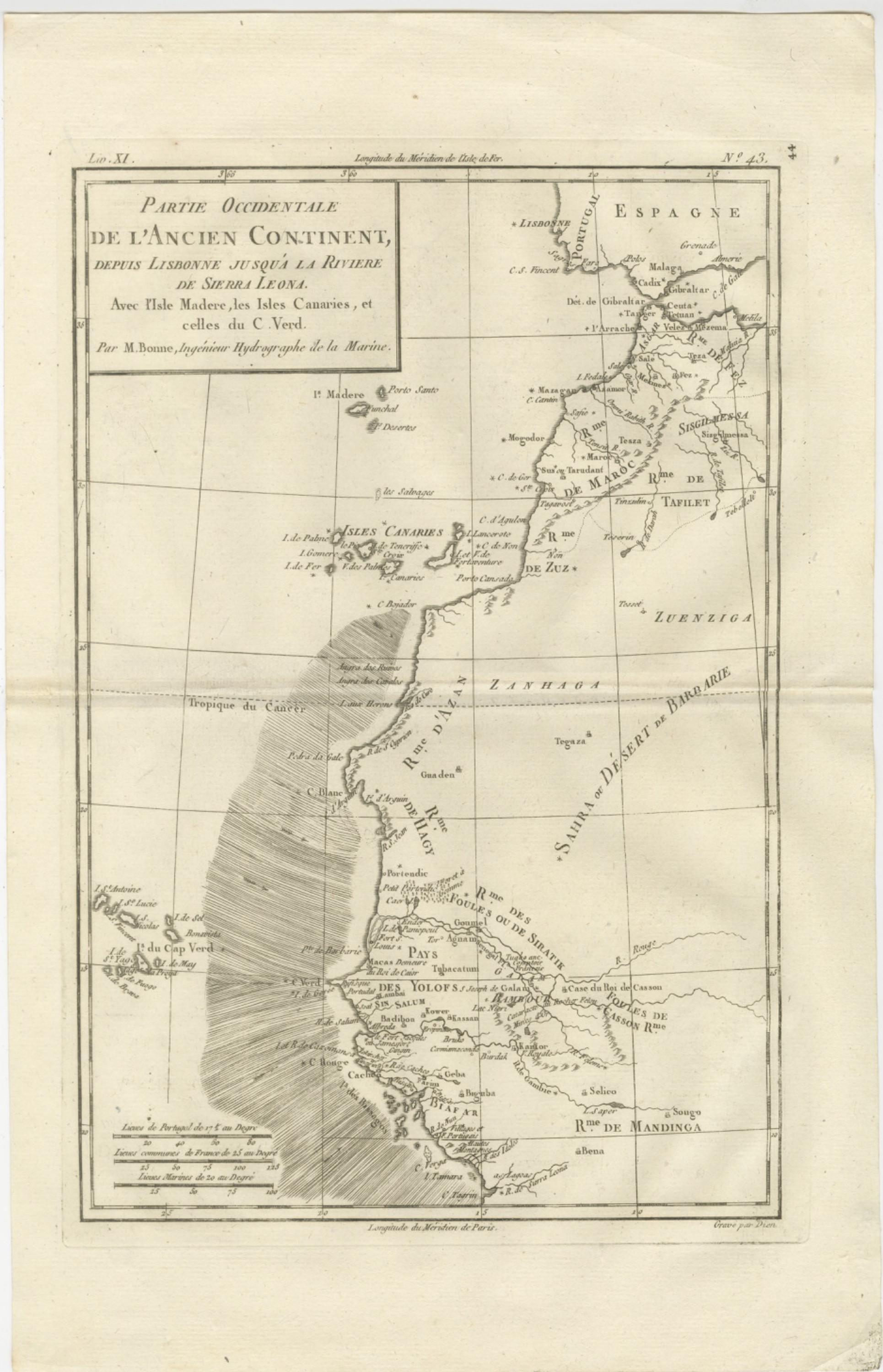
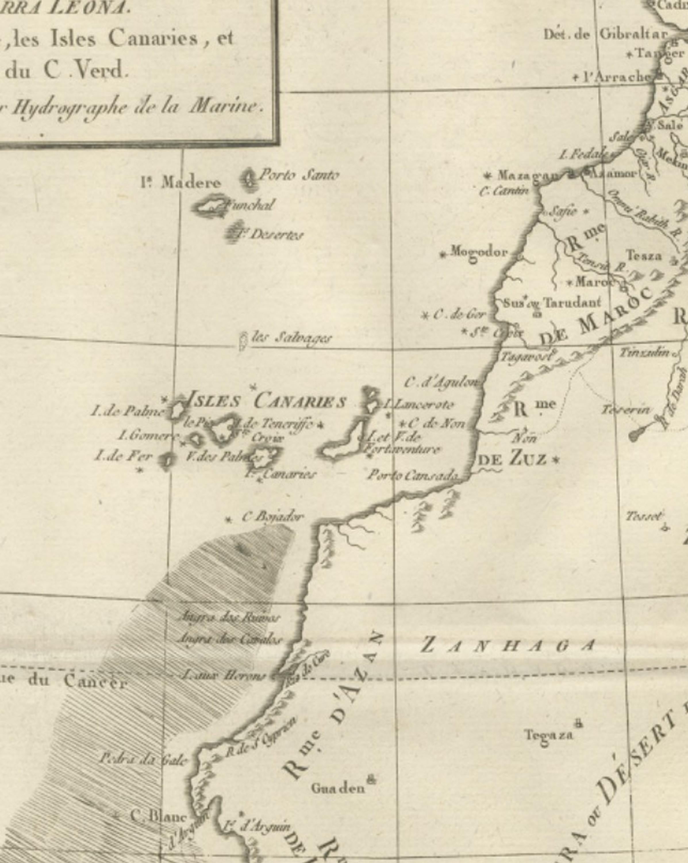
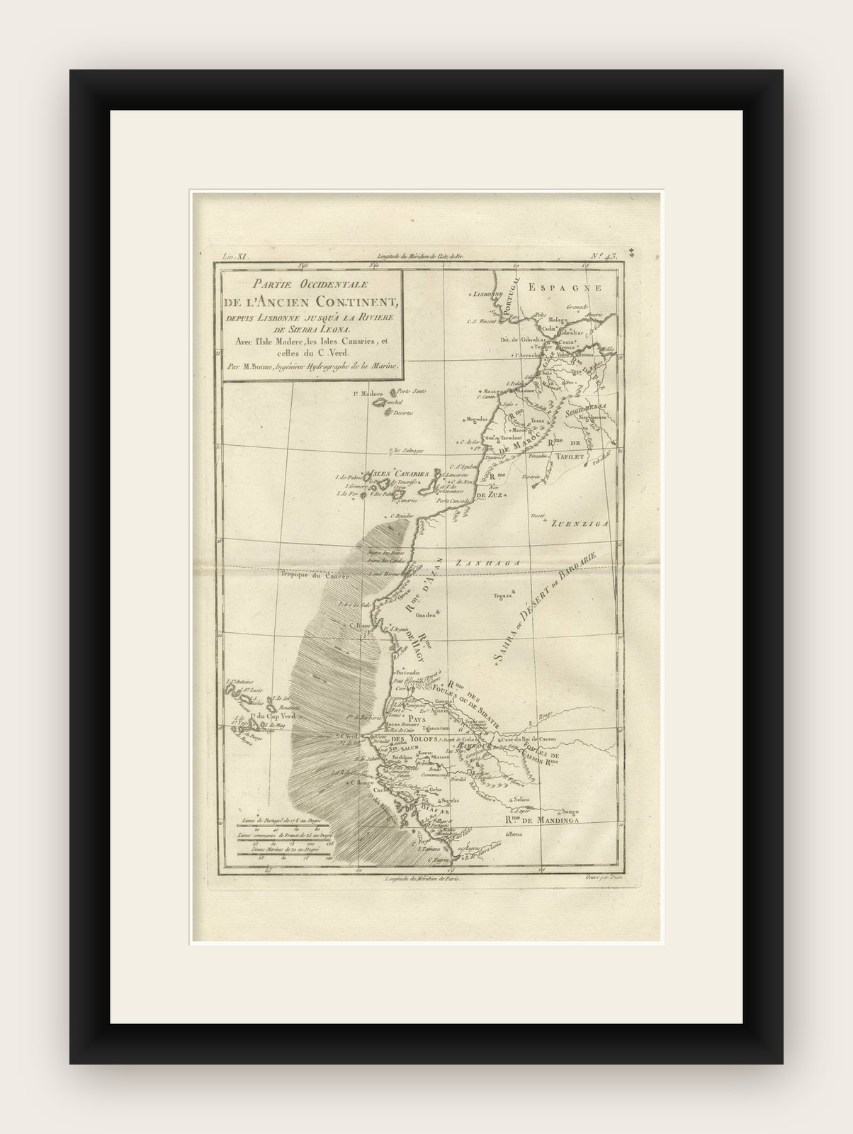
This finely engraved eighteenth-century map by Rigobert Bonne presents the western part of the Old Continent extending from Lisbon southward along the Atlantic coast of Morocco and West Africa toward Sierra Leone, including the Canary Islands, Madeira, and the Cape Verde Islands. Engraved circa 1780, the map reflects Bonne’s influential role as Ingénieur-Hydrographe de la Marine and chief cartographer at the Dépôt de la Marine in Paris, where he succeeded Jacques-Nicolas Bellin and helped guide French cartography into a new scientific era emphasizing clarity, standardized measurement, and geographic precision.
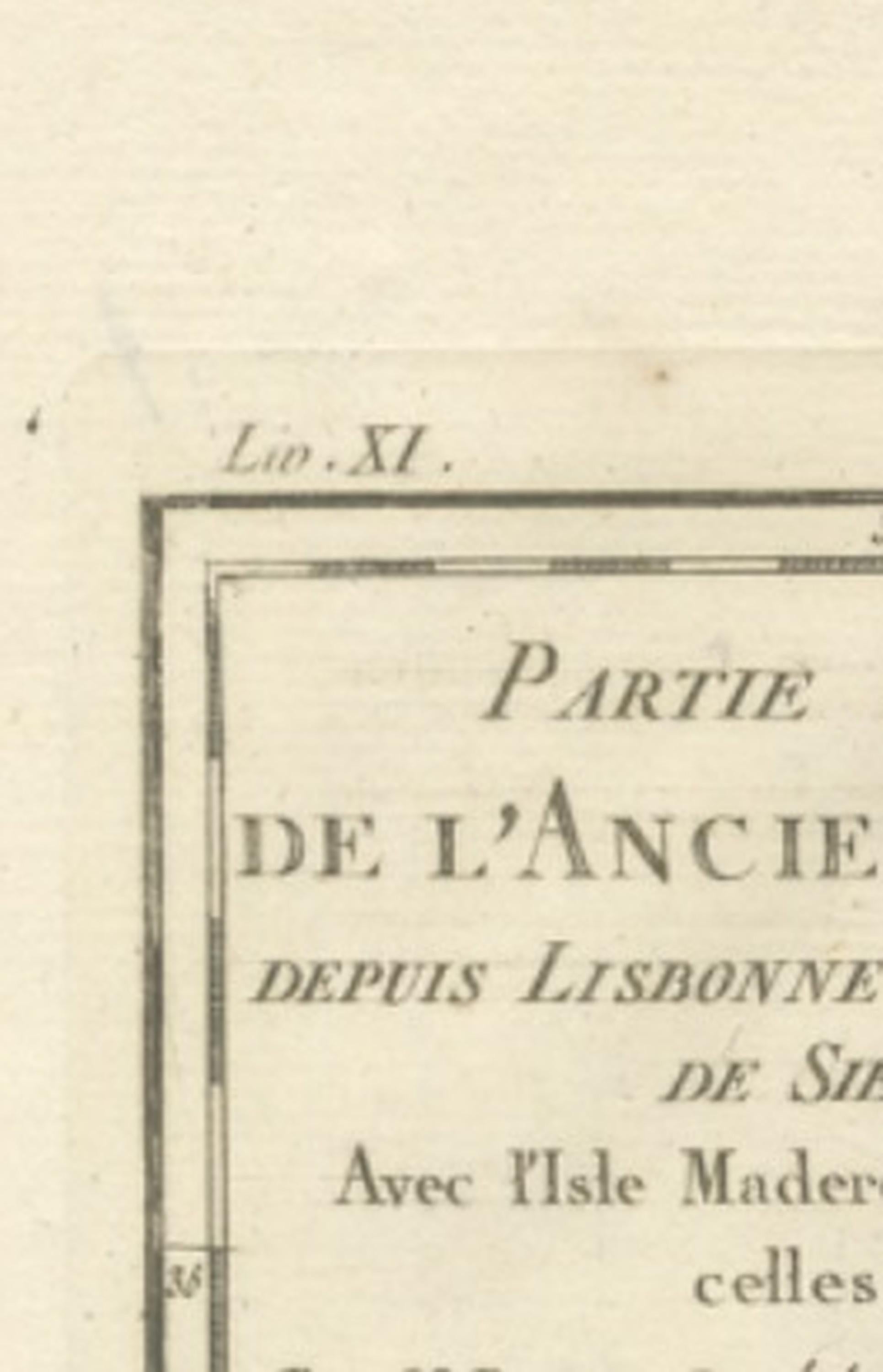
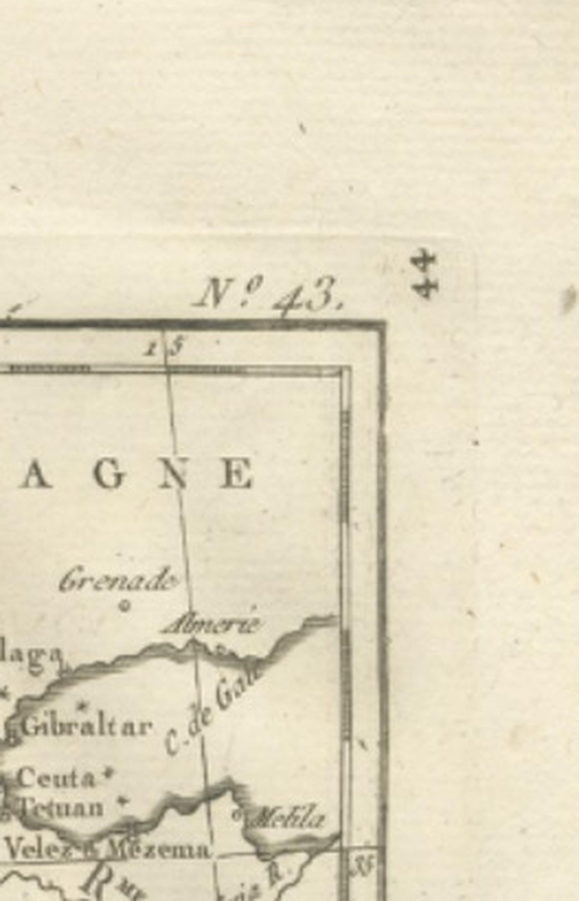
Titled “Partie Occidentale de l’Ancien Continent, Depuis Lisbonne jusqu’à la Rivière de Sierra Leona,” the composition provides a detailed geographic overview of Atlantic maritime routes and coastal settlements during a period when European navigation, trade, and exploration along the African coast were of great strategic importance. The Iberian Peninsula appears at the upper right, showing Portugal and southern Spain, while Morocco and the Barbary Coast extend downward along the African shoreline. The Canary Islands, Madeira, and Cape Verde archipelagos are clearly delineated, reflecting their significance as navigational waypoints and colonial outposts in transatlantic trade networks.
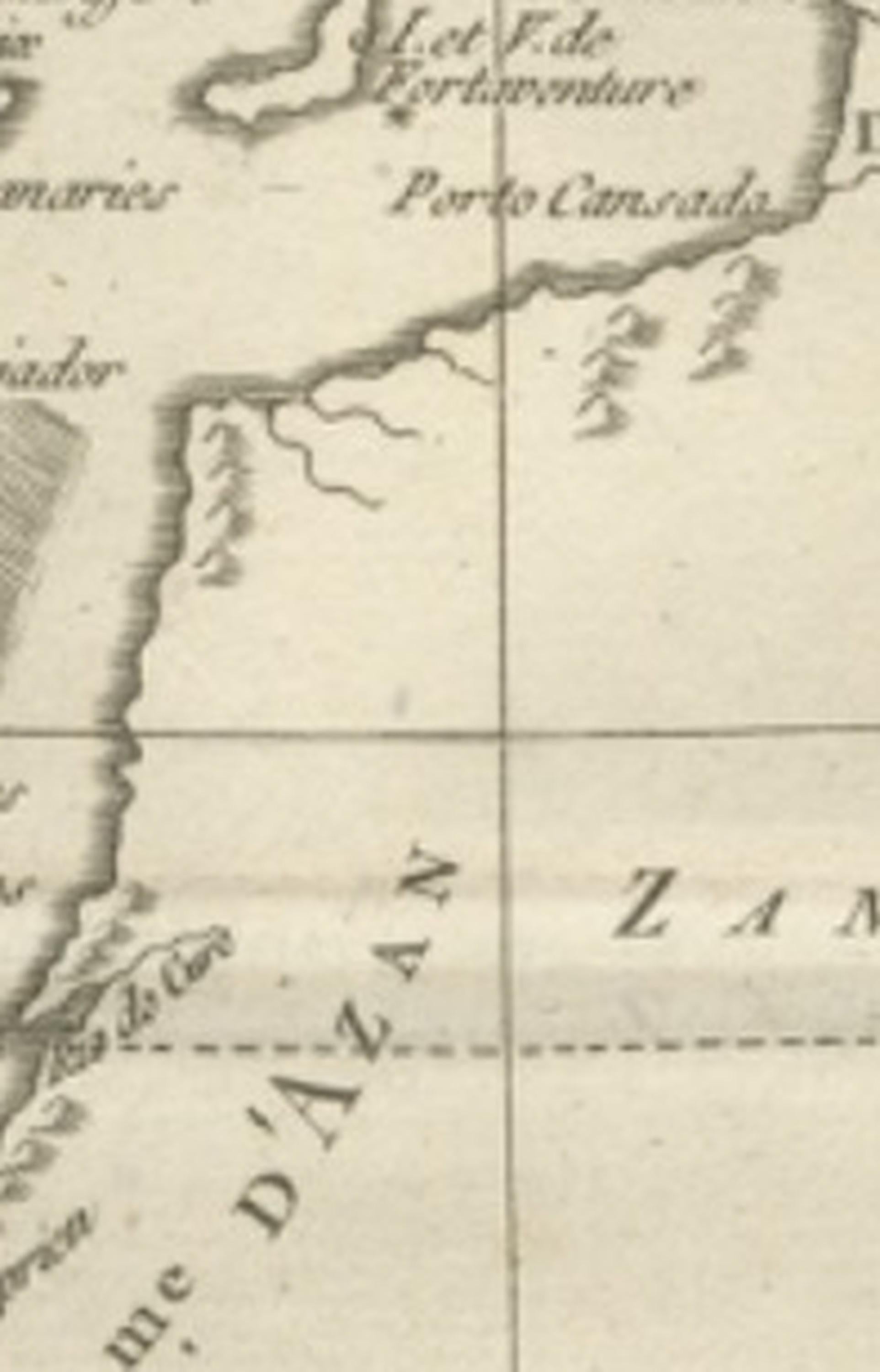
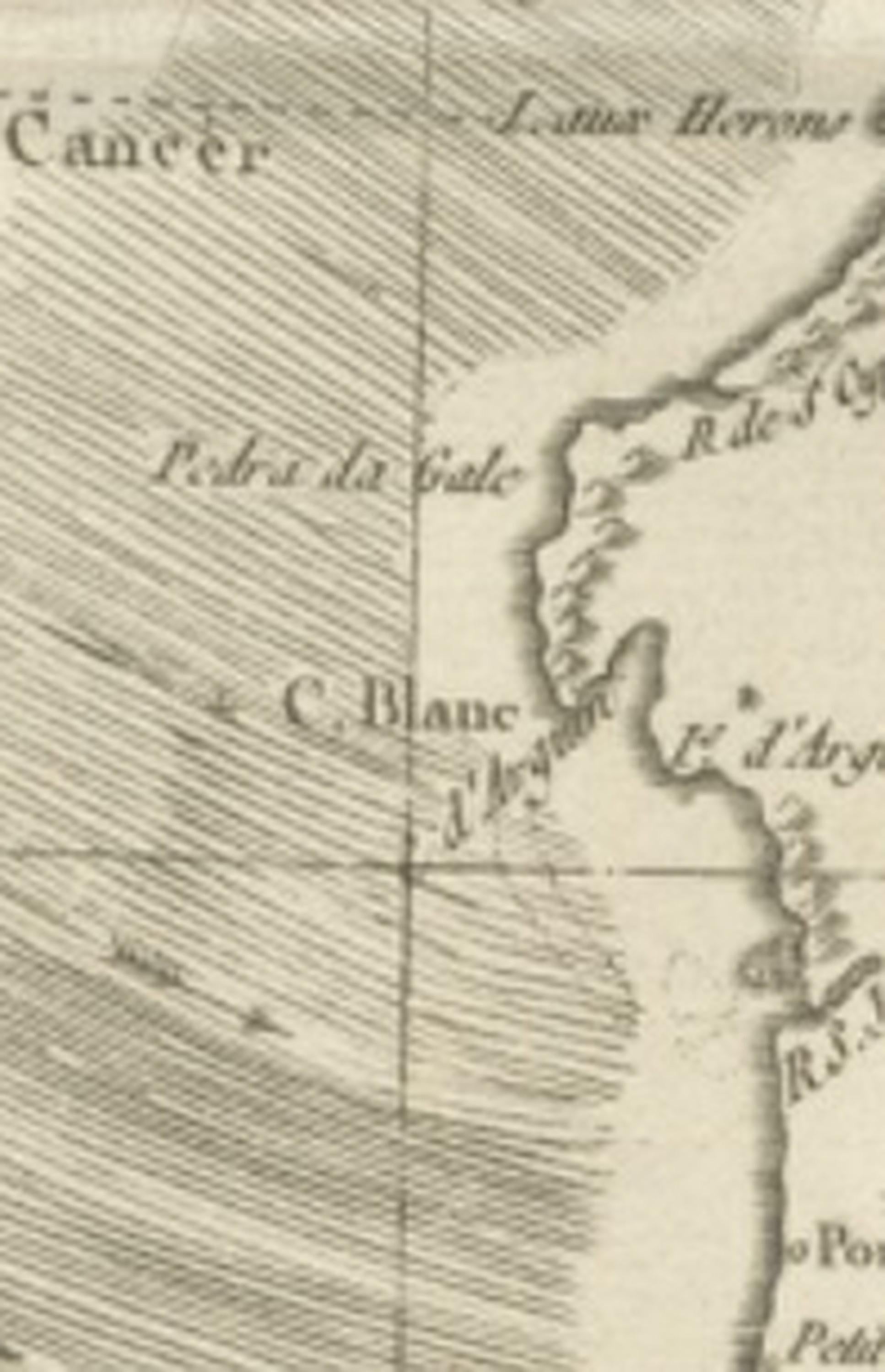
Bonne’s engraving style is marked by refined restraint: minimal decorative embellishment, precise coastal outlines, delicate hachuring for relief, and an elegant typographic hierarchy that enhances readability. The shaded ocean area suggests navigational zones or areas of maritime interest, reinforcing the map’s hydrographic purpose. Place names, rivers, caravan routes, and coastal features provide insight into European geographic knowledge of West Africa during the Enlightenment, illustrating both scientific curiosity and colonial ambitions.
As part of Bonne’s mature cartographic output, this map exemplifies the shift from decorative to scientific cartography, making it highly appealing to collectors interested in the evolution of mapping as well as to designers seeking refined historical wall pieces. Its vertical orientation offers strong decorative potential, suitable for both classic and contemporary interiors.
Condition report: Good antique condition with age-related toning, visible central fold as issued, light scattered spotting, and minor edge wear consistent with eighteenth-century paper; margins remain suitable for framing.
Framing tips: Particularly effective when framed in dark walnut or black with an ivory or warm off-white mat; vertical orientation works well in narrow wall spaces or paired with related North Africa or Atlantic navigation charts for a cohesive display.