About this sheet
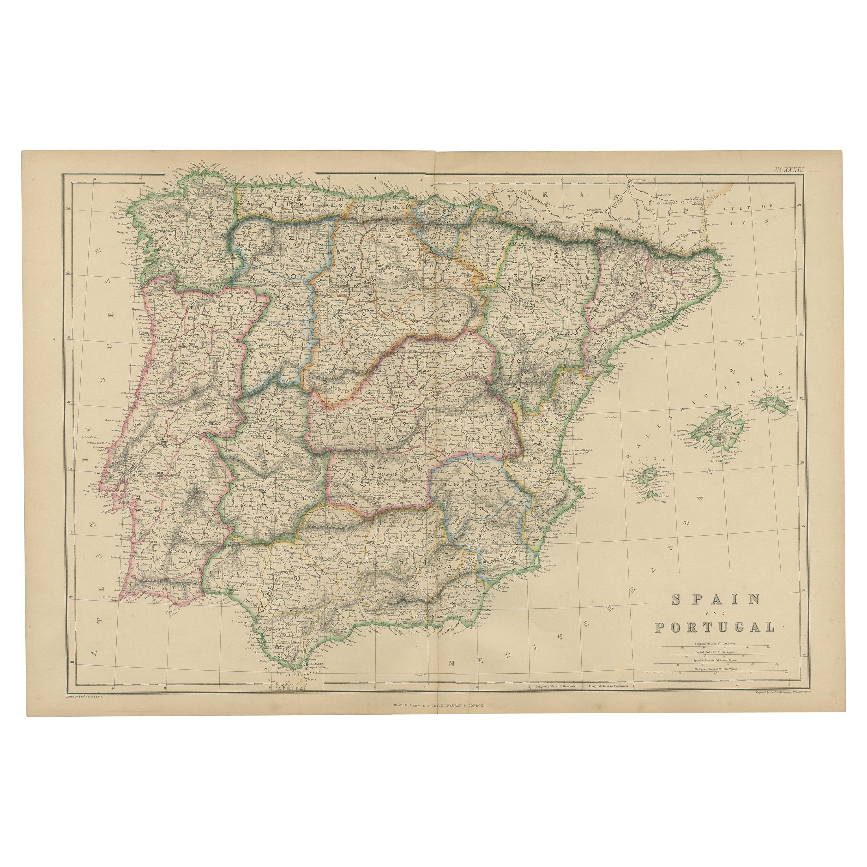
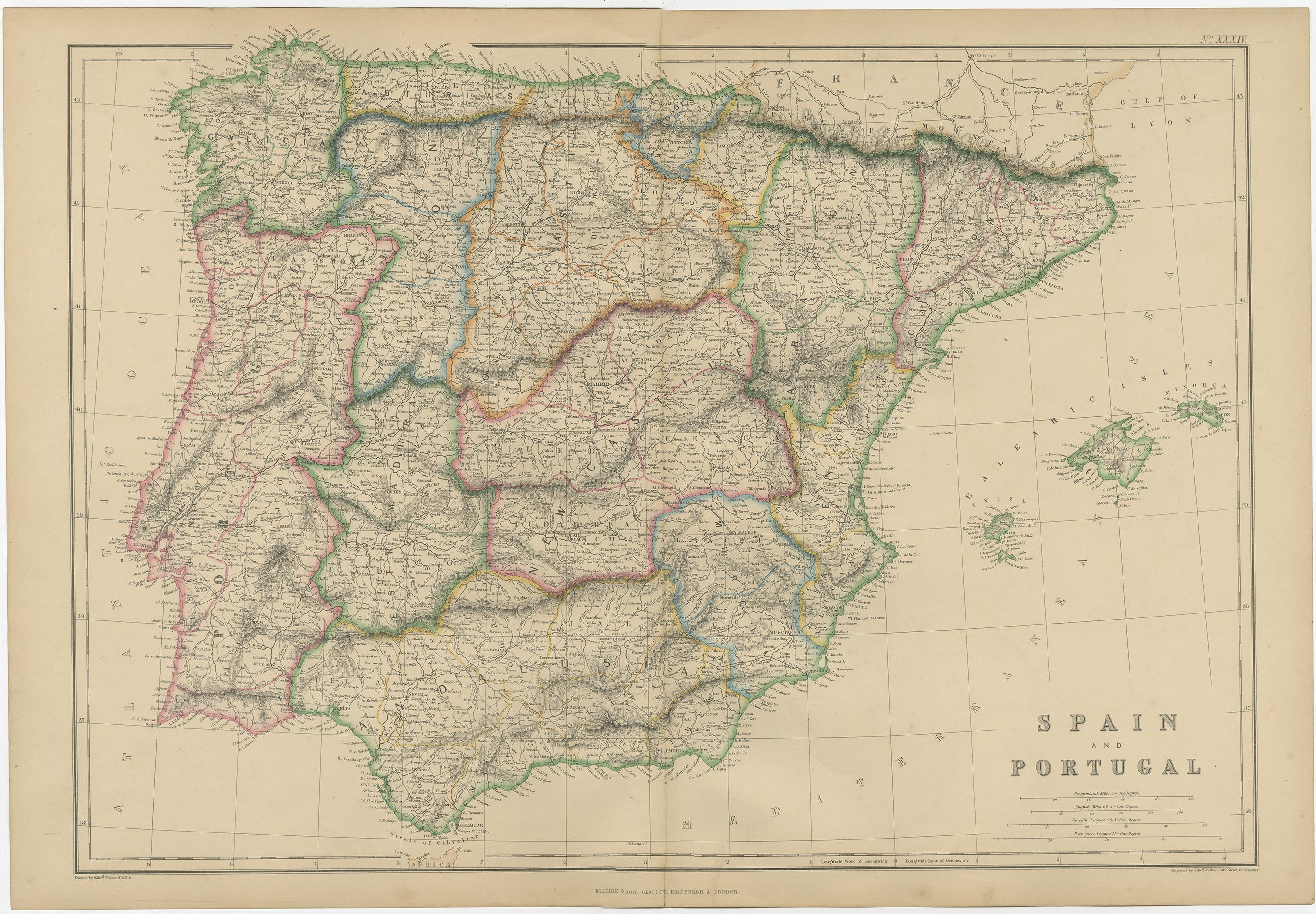
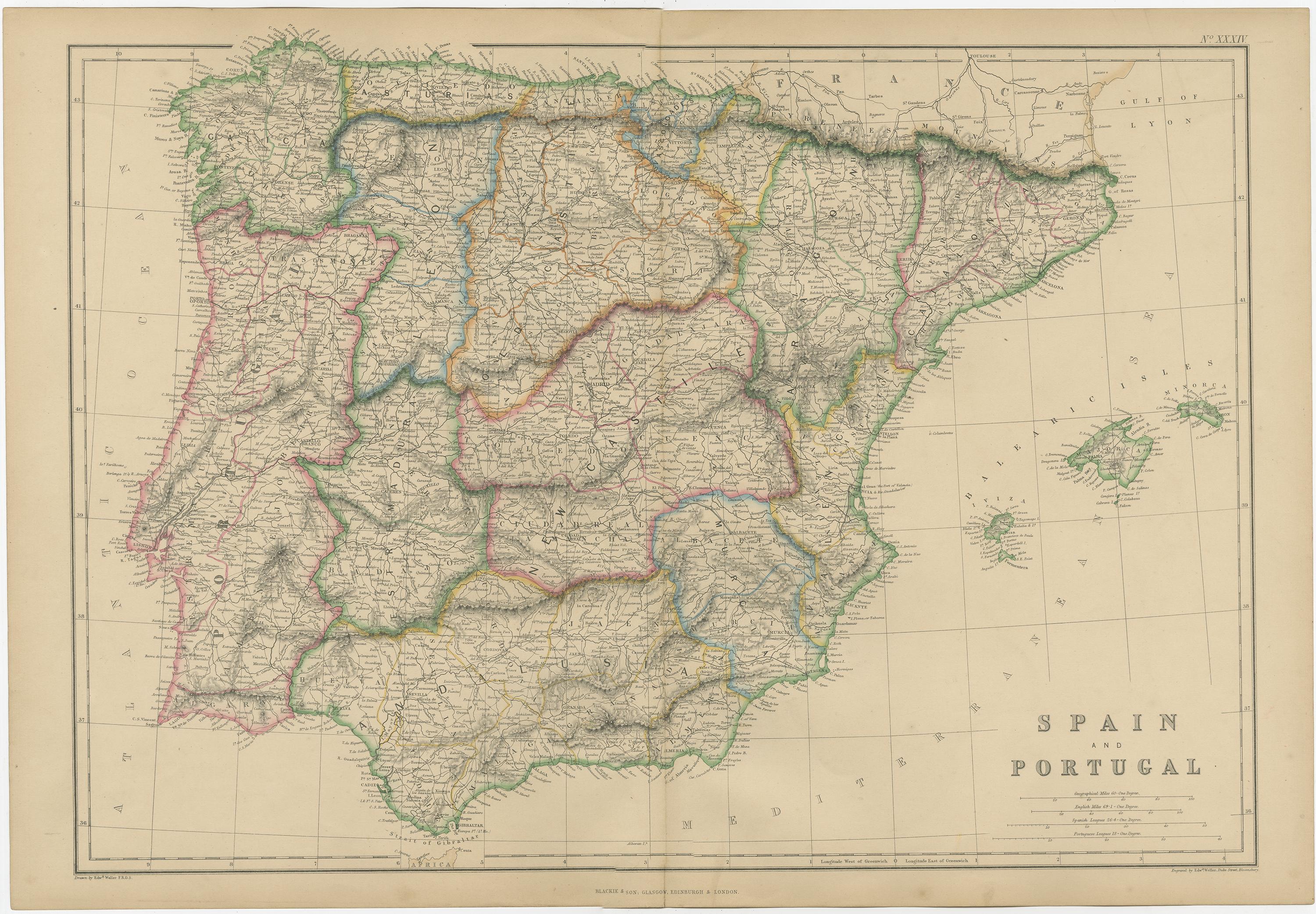
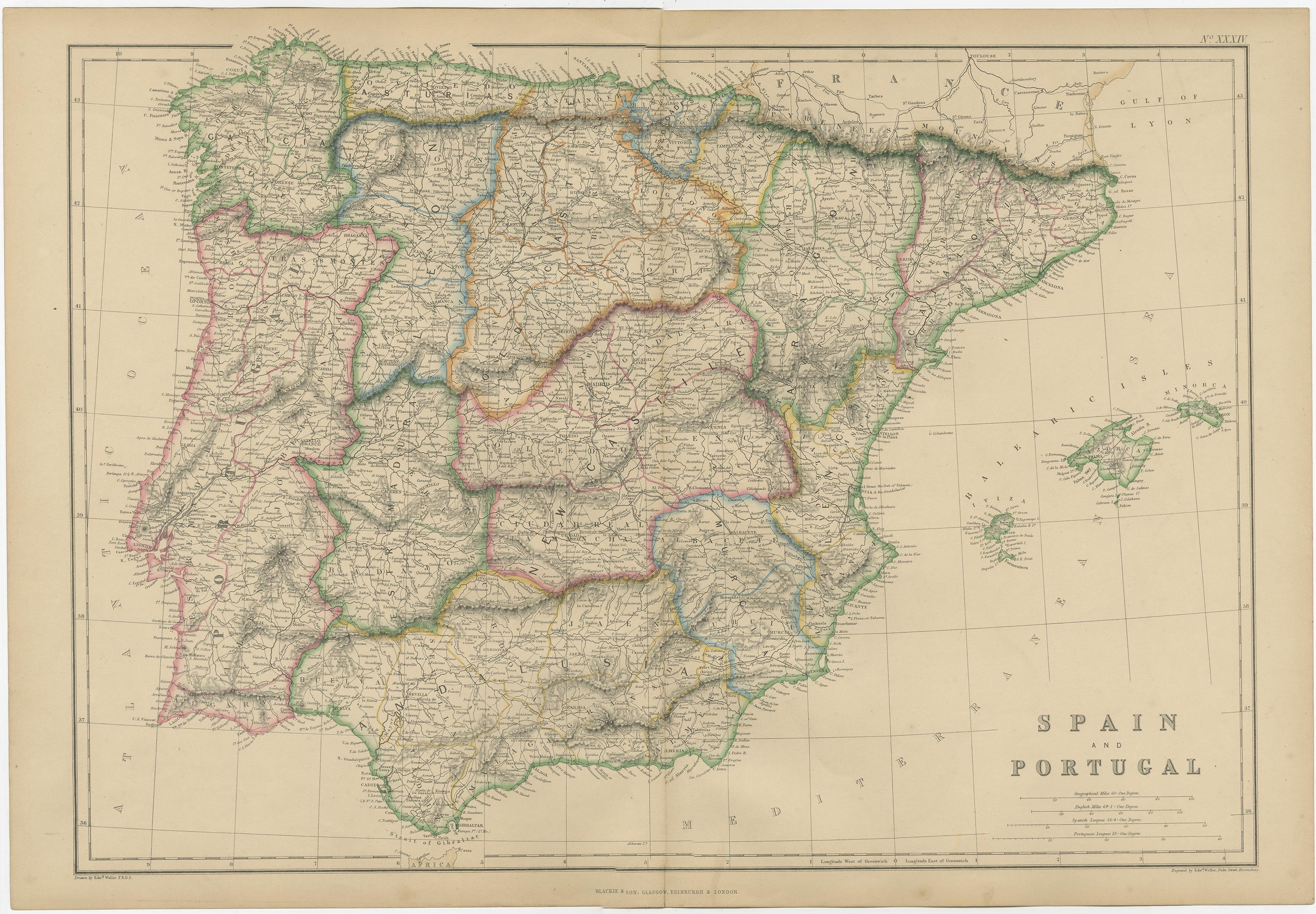
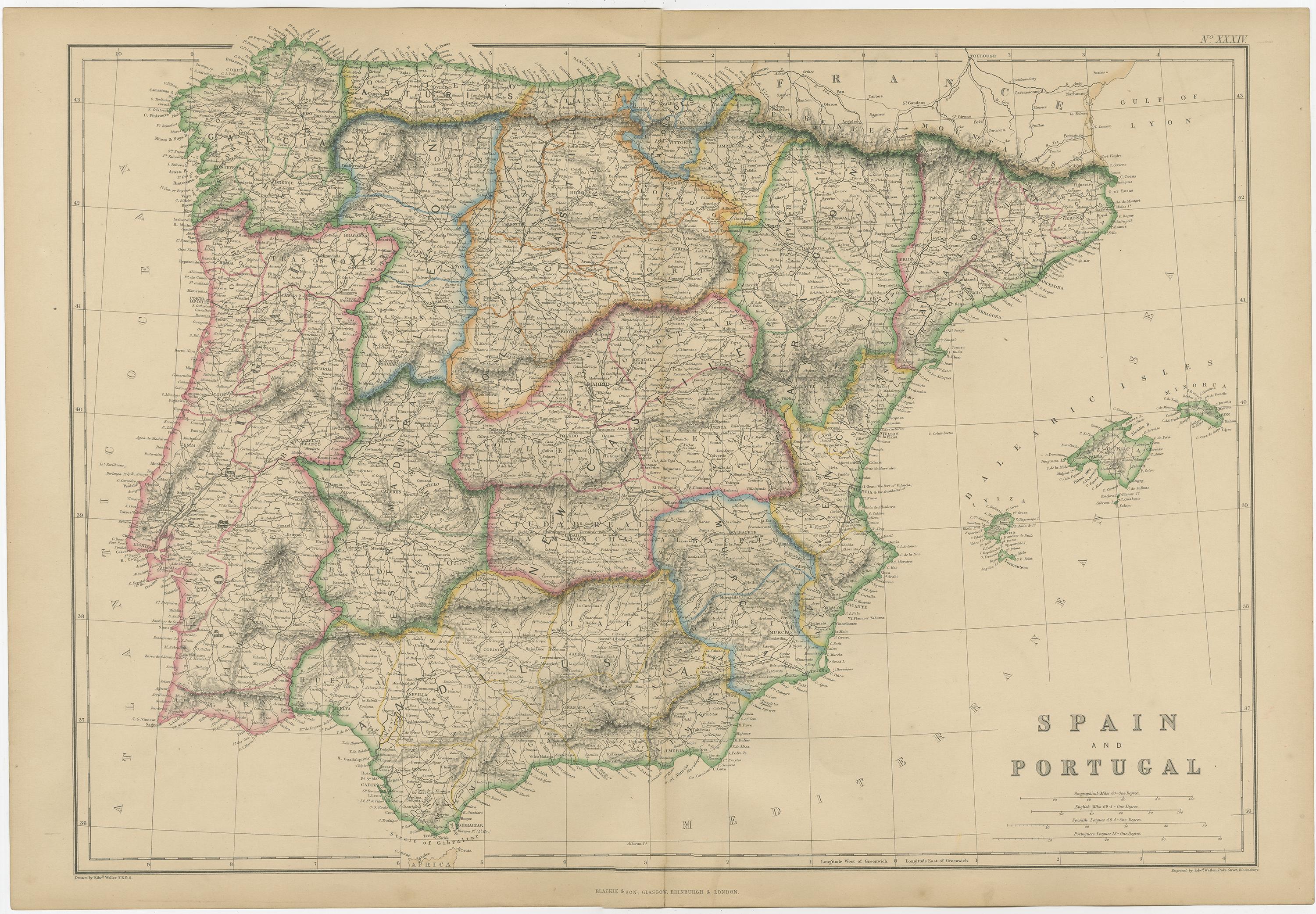
Spain and Portugal, Antique Hand-Colored Map of the Iberian Peninsula, 1859
This original antique map titled Spain and Portugal presents a detailed and finely engraved mid-19th-century depiction of the Iberian Peninsula at the height of Victorian cartographic production. Published in 1859 as part of The Imperial Atlas of Modern Geography by W. G. Blackie, the map reflects British scholarly and geographic interest in southern Europe during a period of political consolidation and expanding international trade.
The map shows Spain and Portugal in full, with provincial and regional boundaries carefully delineated in original hand color. Mountain ranges such as the Pyrenees, Cantabrian Mountains, Sistema Central, and Sierra Nevada are rendered in fine shaded relief, while major rivers including the Ebro, Tagus (Tejo), Douro, Guadiana, and Guadalquivir are clearly traced. Cities, towns, roads, and coastal features are densely labeled, offering a rich snapshot of Iberian geography as understood in the mid-19th century.
Coastlines along the Atlantic Ocean, Bay of Biscay, and Mediterranean Sea are crisply engraved, with the Balearic Islands shown to the east. The map’s balanced composition, restrained coloring, and precise line work exemplify the high production standards of Blackie’s atlases, which were aimed at both educational and refined domestic interiors.
Beyond its geographic detail, this map carries strong decorative appeal. The warm tones of the original hand coloring, combined with the aged paper surface, give it an elegant and intellectual presence well suited to libraries, studies, or contemporary interiors seeking a historic European focal point. It is equally attractive to collectors of Iberian history, European cartography, and Victorian atlases.
Condition report:
Good antique condition. Light overall age toning and gentle wear consistent with age. Minor scattered foxing and faint handling marks, mainly in the margins. Original fold as issued. No major tears or losses.
Framing tips:
A generous ivory or light taupe mat will enhance the hand coloring and engraved detail. A dark walnut, ebonized, or subtle antique gilt frame complements the historic character while keeping the presentation refined and timeless.
Technique: Copper engraving with original hand coloring
Maker: W. G. Blackie, Scotland, 1859