About this sheet
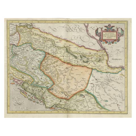
Antique Map of Slavonia, Croatia, Bosnia and Dalmatia by Janssonius, circa 1640
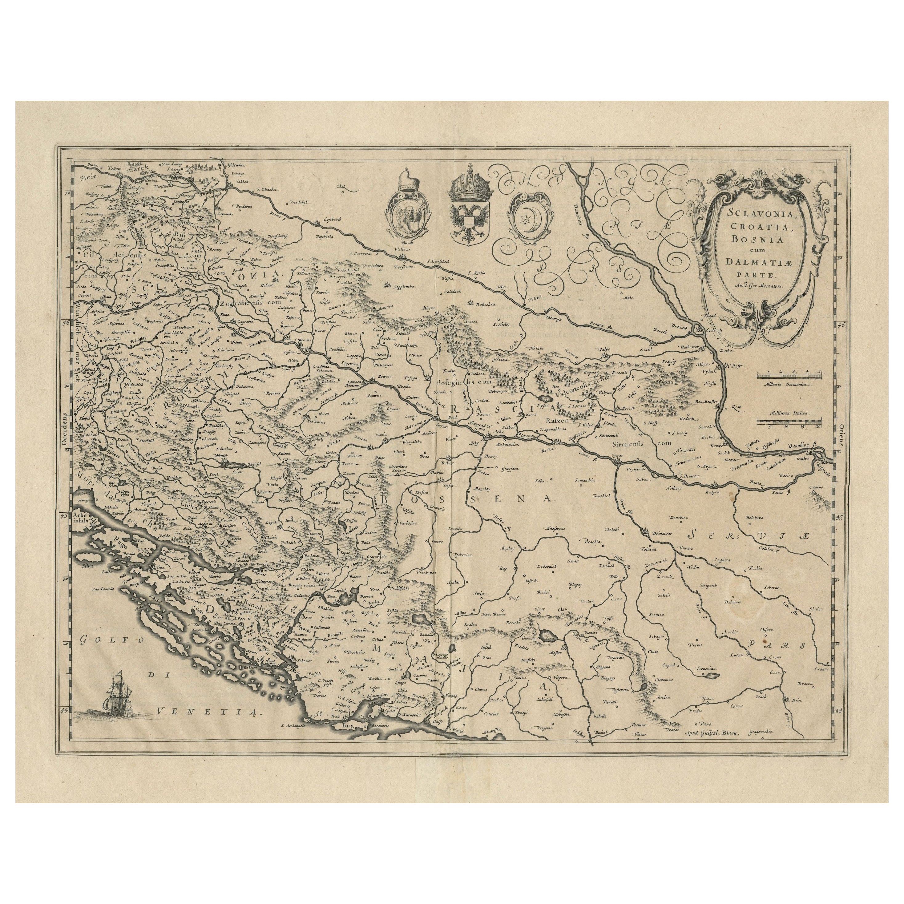
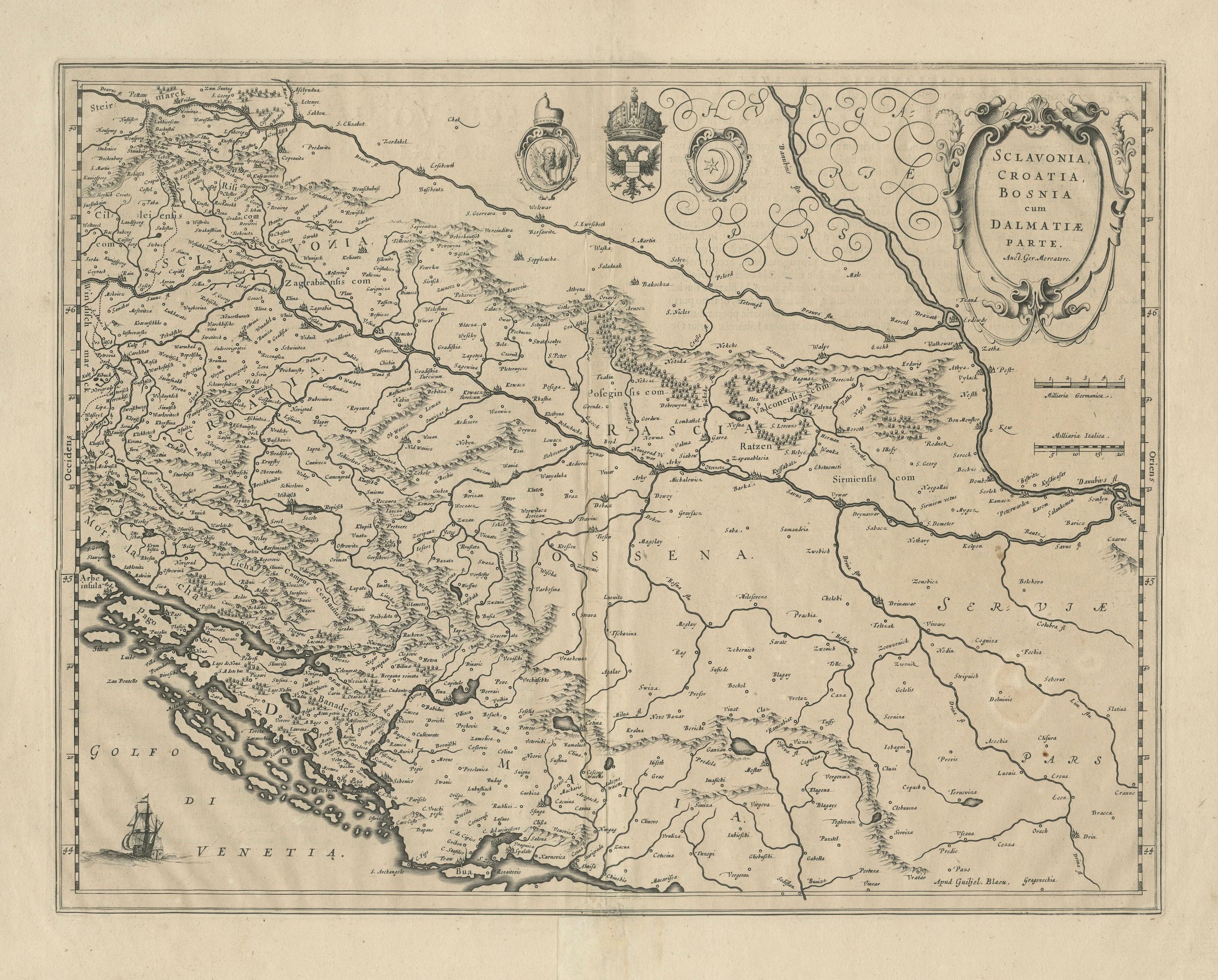
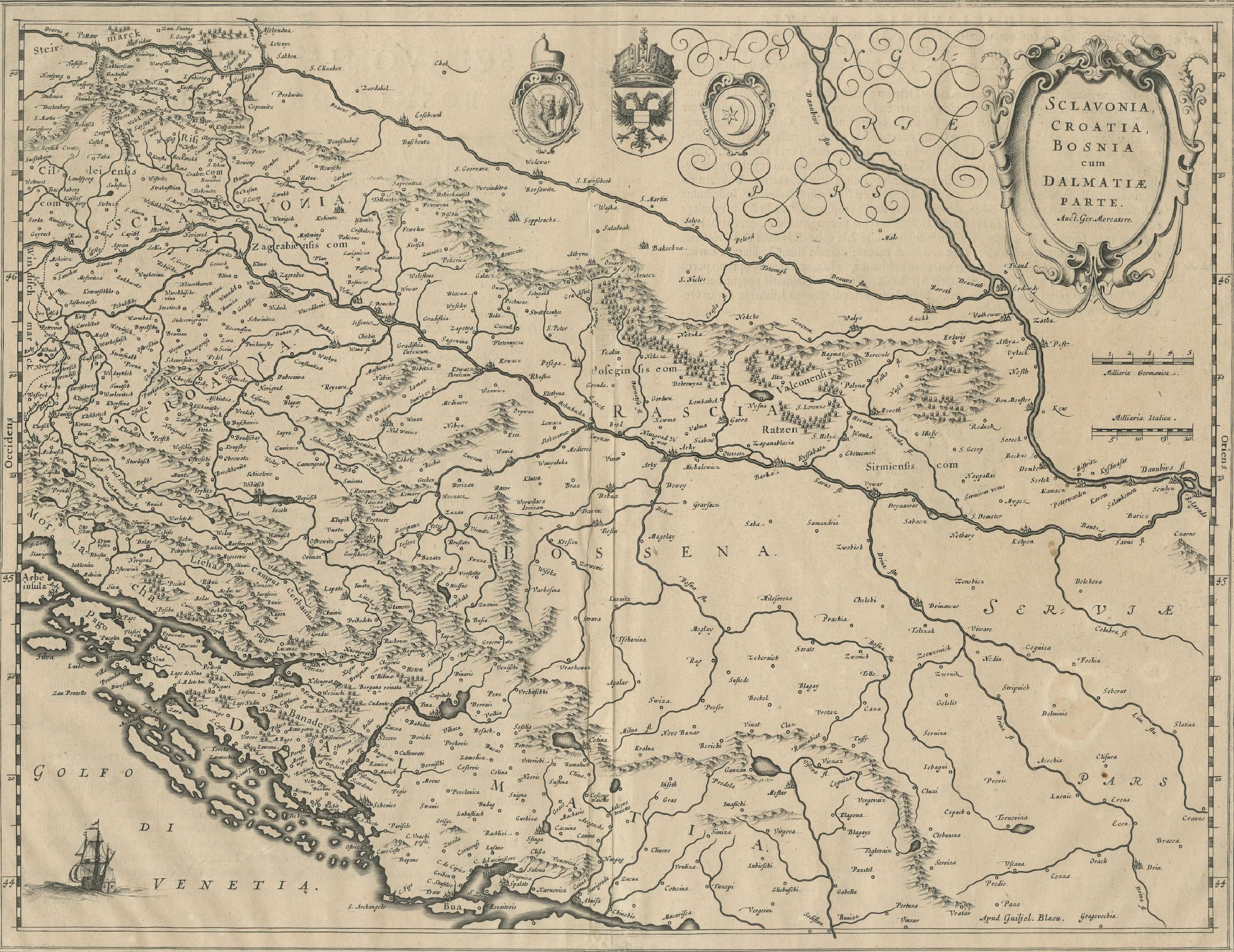
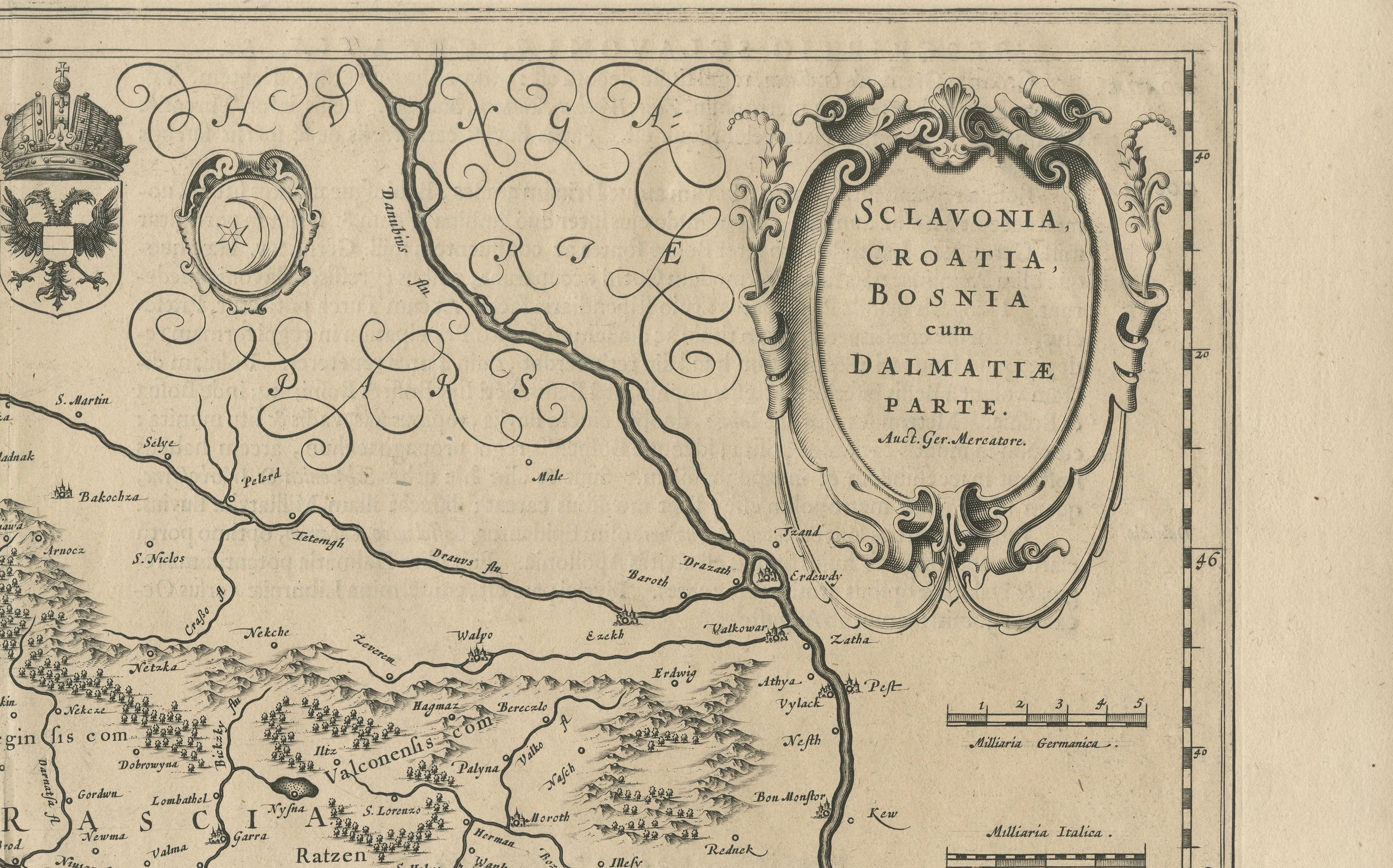
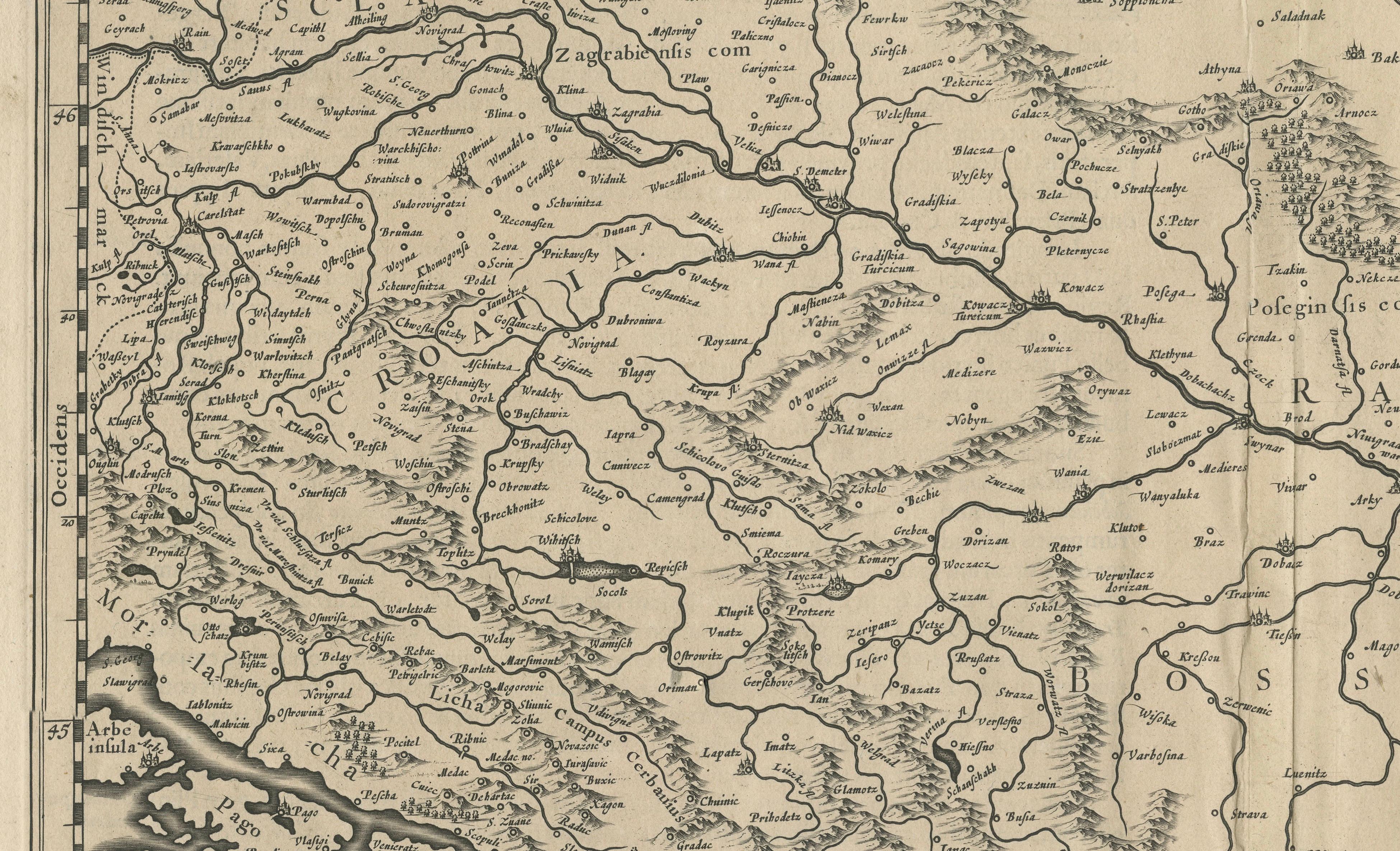
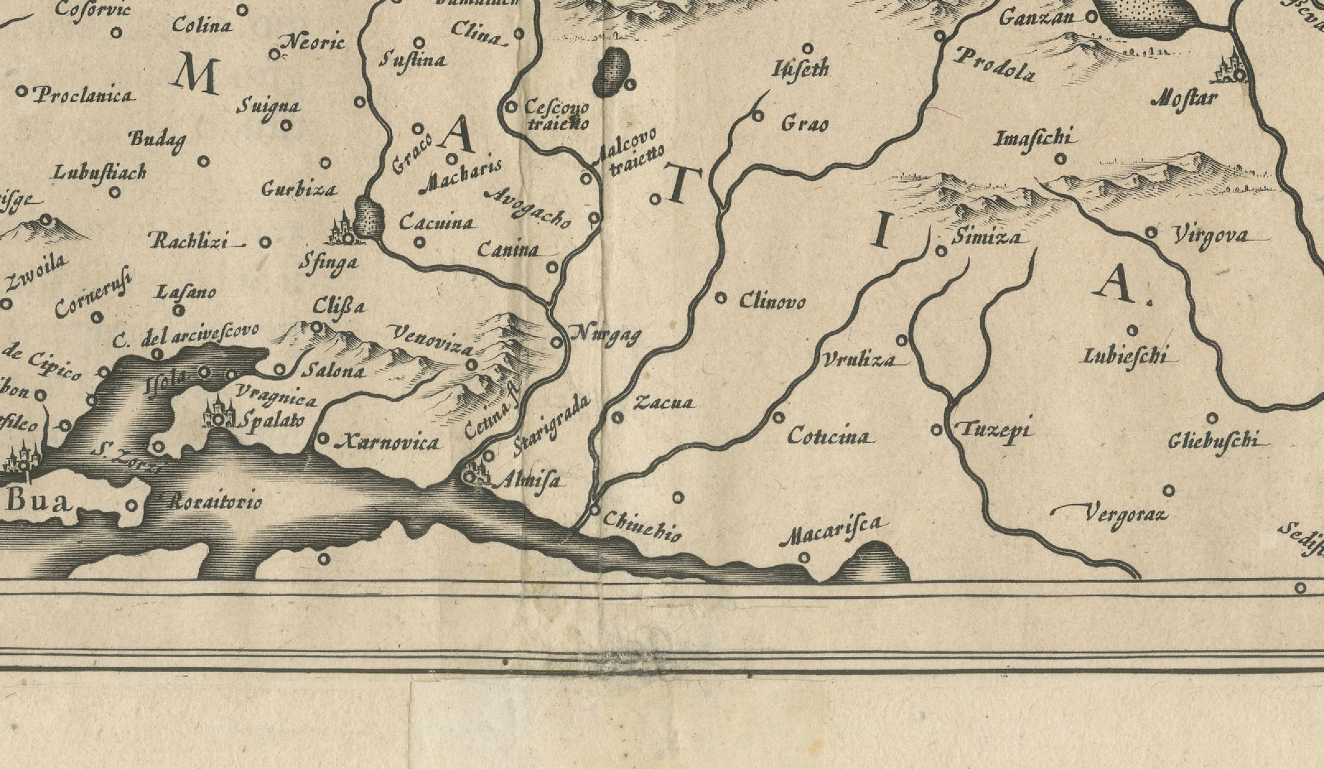
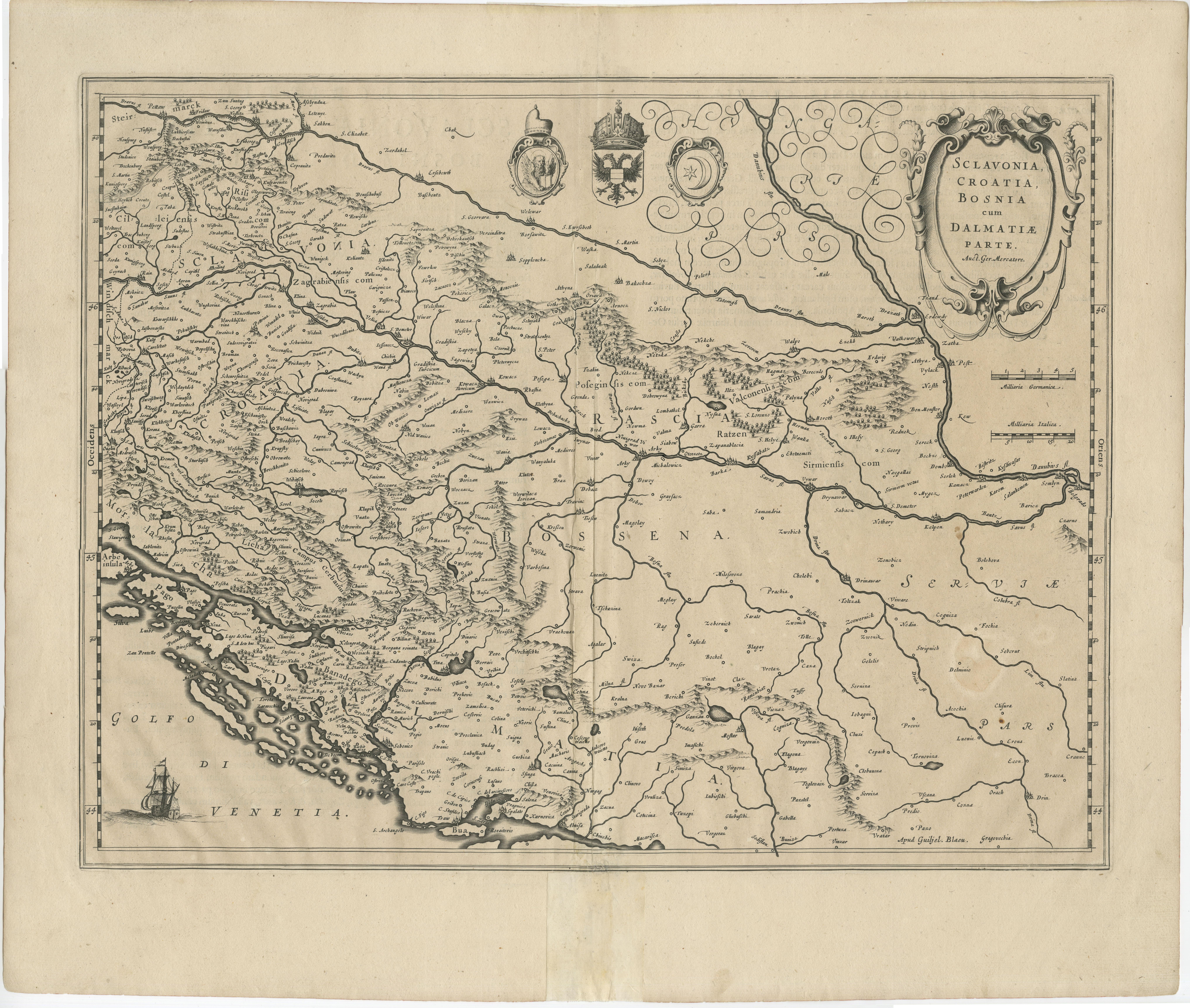
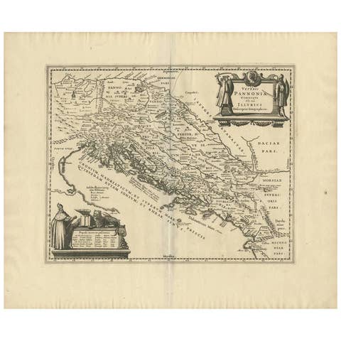
This elegant and detailed map titled Sclavonia, Croatia, Bosnia cum Dalmatiae Parte was published by Johannes Janssonius around 1640 in Amsterdam. It depicts the regions of Slavonia, Croatia, Bosnia, and part of Dalmatia during the 17th century, a time when these territories were at the crossroads of the Habsburg and Ottoman Empires.
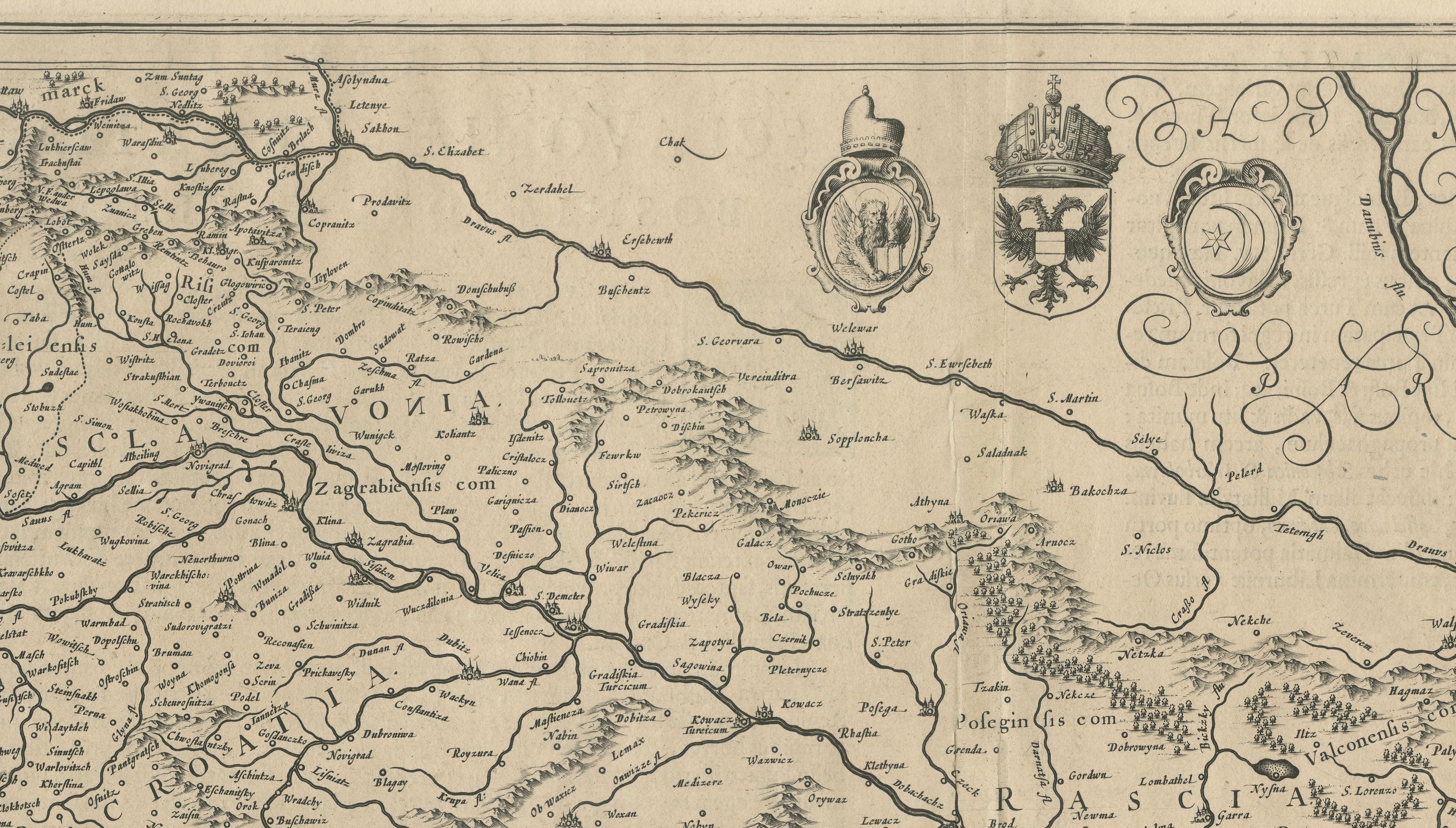
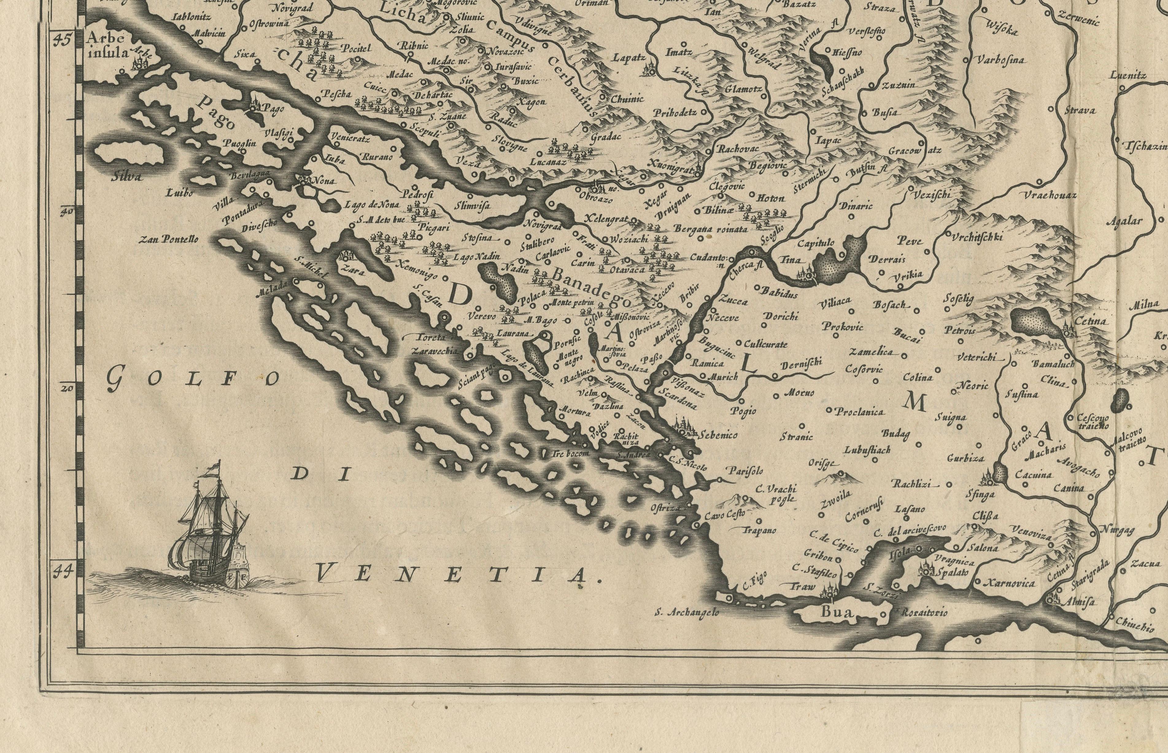
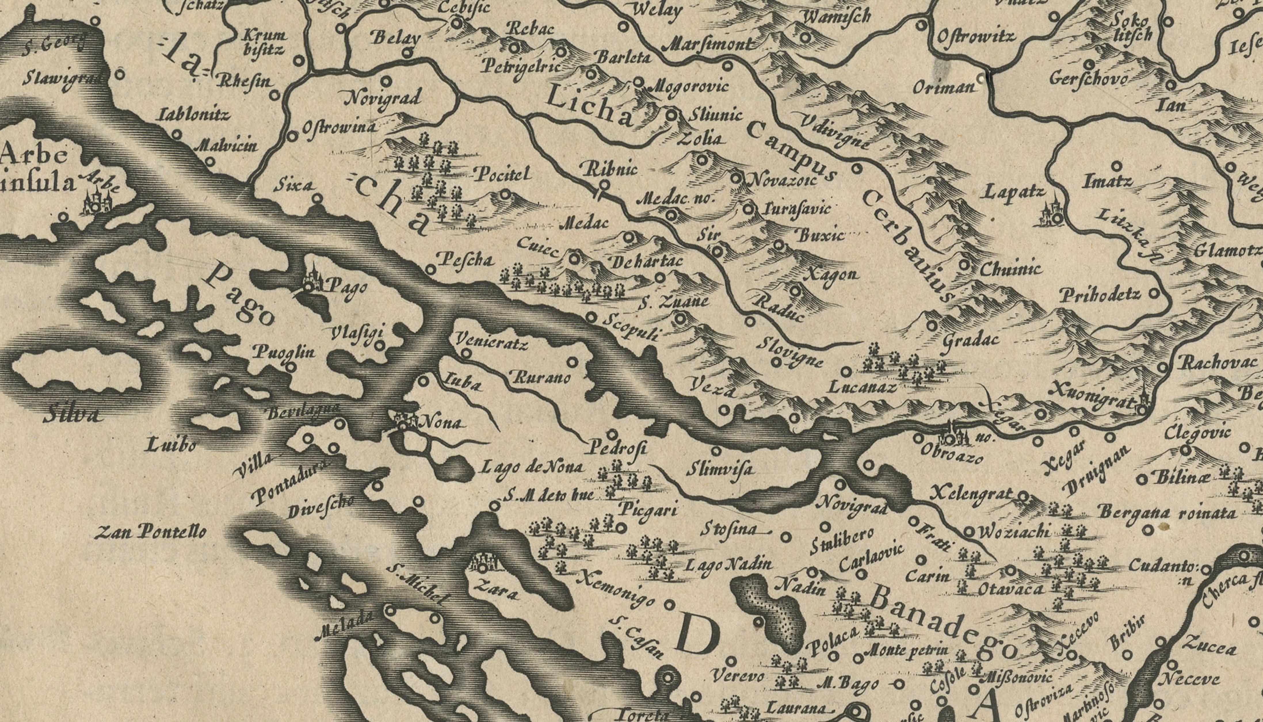
The map is engraved with fine detail showing mountain ranges, rivers, and an extensive network of towns and villages, many of which are rendered pictorially. Key regions include Bosnia, Croatia, Slavonia, Dalmatia, and parts of Serbia, with the coastlines of the Adriatic Sea (labelled Golfo di Venetia) prominently displayed. Numerous islands off the Dalmatian coast are named, enhancing the maritime focus of this region.
At the top right, an ornate title cartouche decorated with scrollwork frames the map’s title, while four coats of arms representing the regions adorn the top center. In the bottom left corner, a galleon sails the Gulf of Venice, adding to the map’s visual appeal and period authenticity.
Johannes Janssonius (1588–1664) was a leading Dutch cartographer and publisher who succeeded the famous Hondius firm and continued expanding its atlases. His works are known for their clarity, decorative elements, and scholarly accuracy, making them highly valued by collectors today.
Condition:
This map is in good condition considering its age. It retains its original wide margins and shows only minor toning along the edges, with a faint centerfold as issued and a small area of paper reinforcement at the bottom edge, not affecting the engraved image. The impression is strong and clean, with crisp engraved lines throughout.
Framing suggestion:
For optimal display, this map would look elegant in a classic black, dark oak, or gold-edged frame with a neutral archival mat in light cream or ivory. UV-protective glass is recommended to safeguard the paper from further aging and fading. The vertical orientation makes it ideal for a study, hallway, or library wall, showcasing early cartographic art and Central European history.