About this sheet
Blaeu Map of Anatolia, Asia Minor & Aegean, Ottoman Figure, c.1642
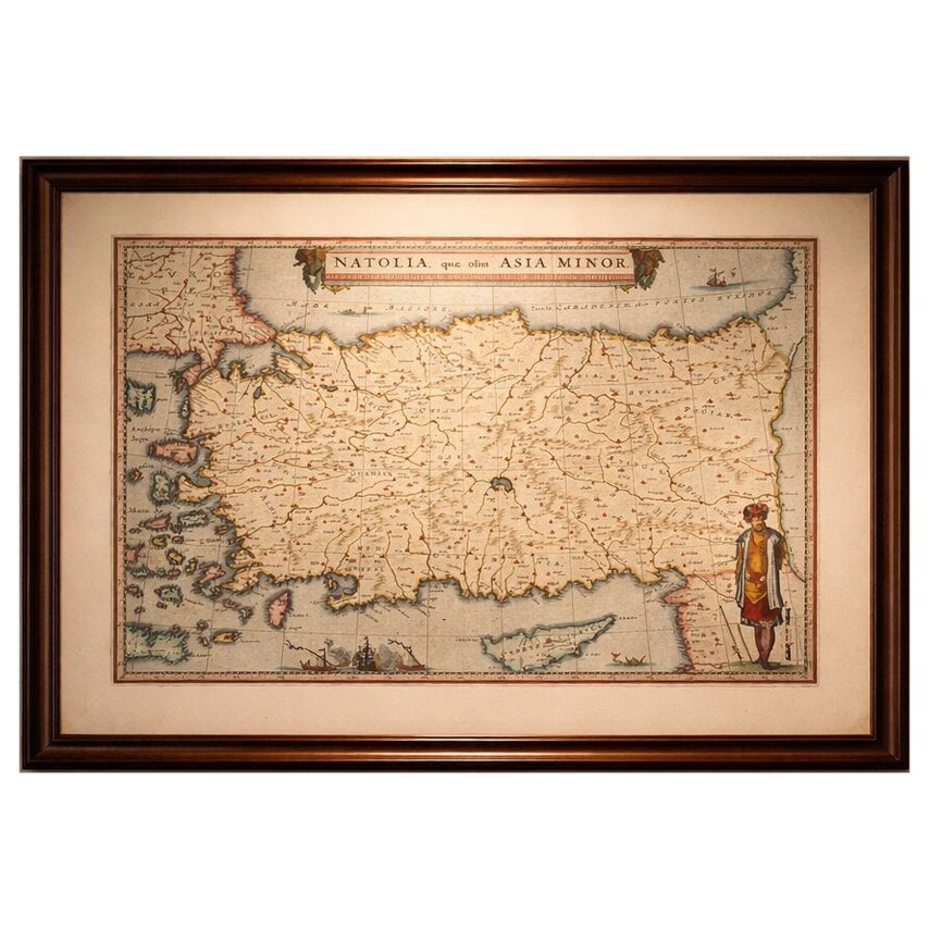
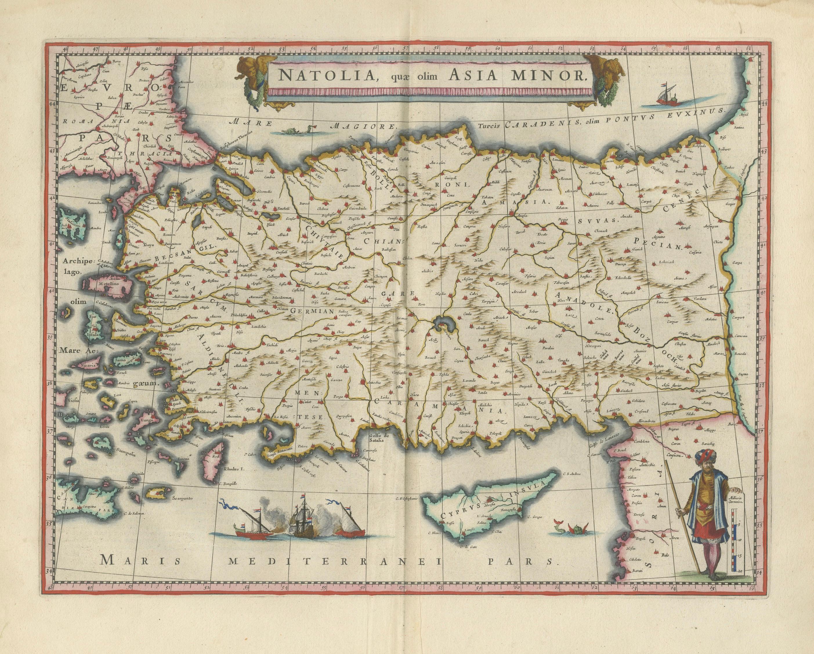
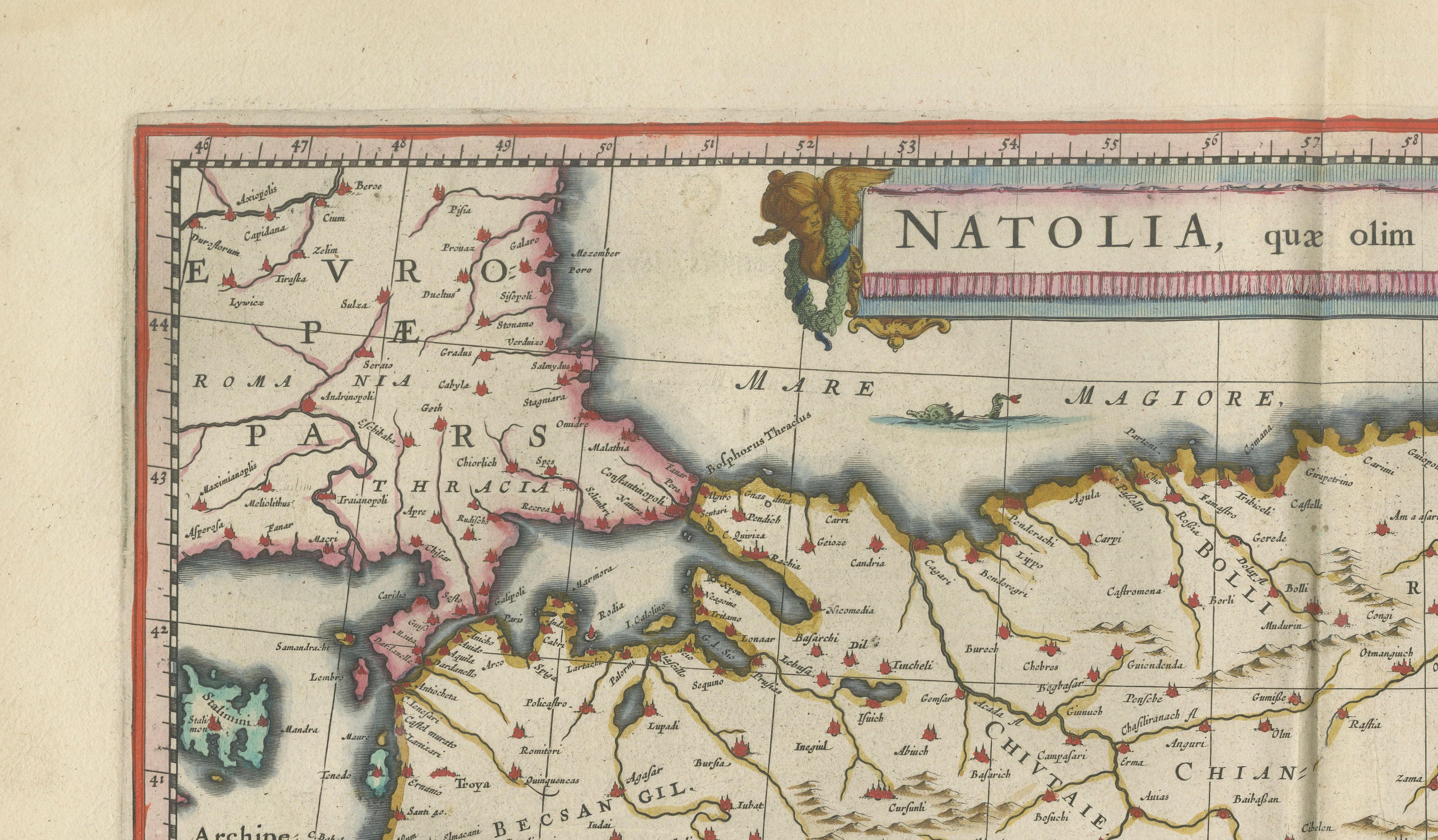
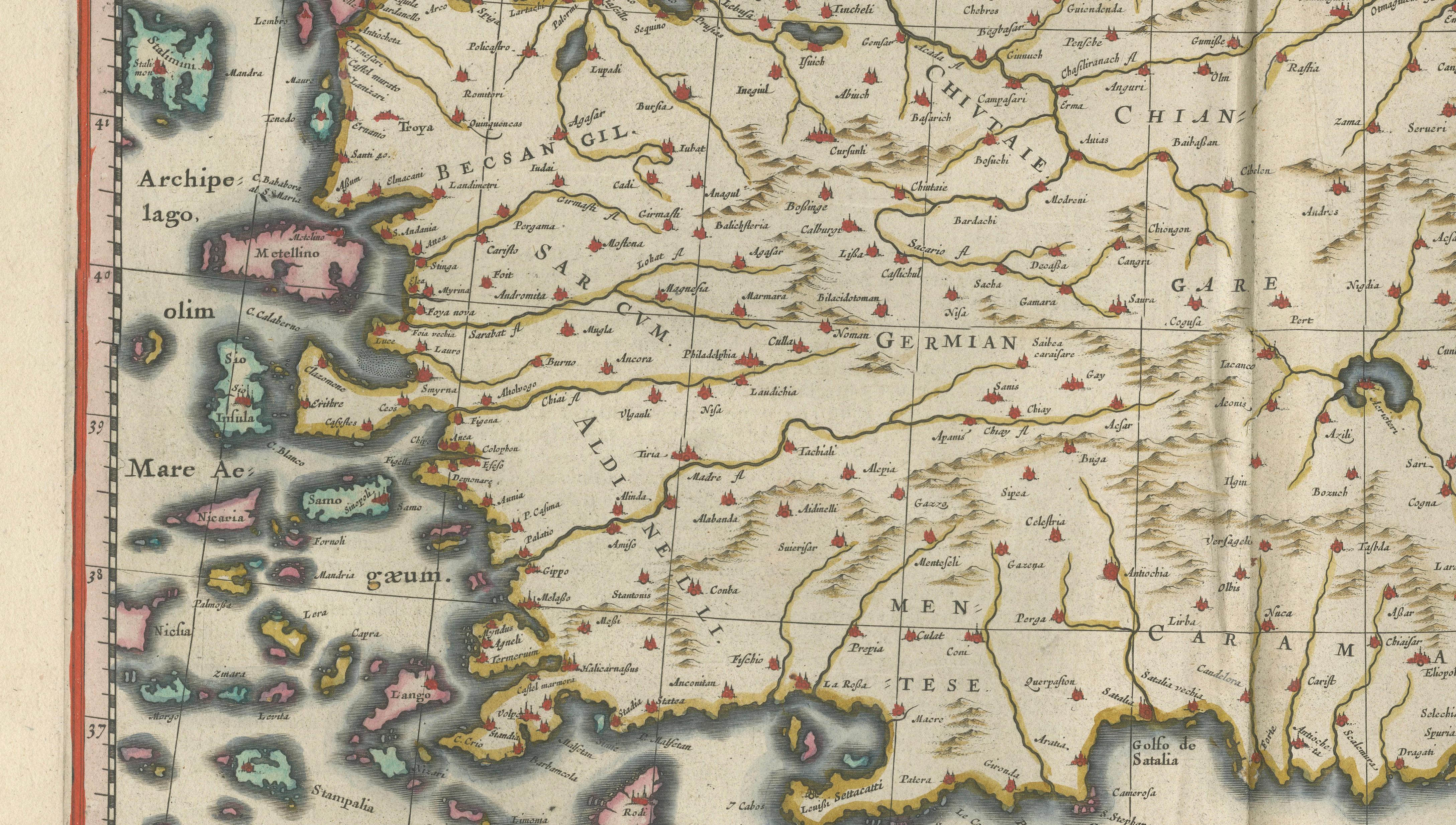
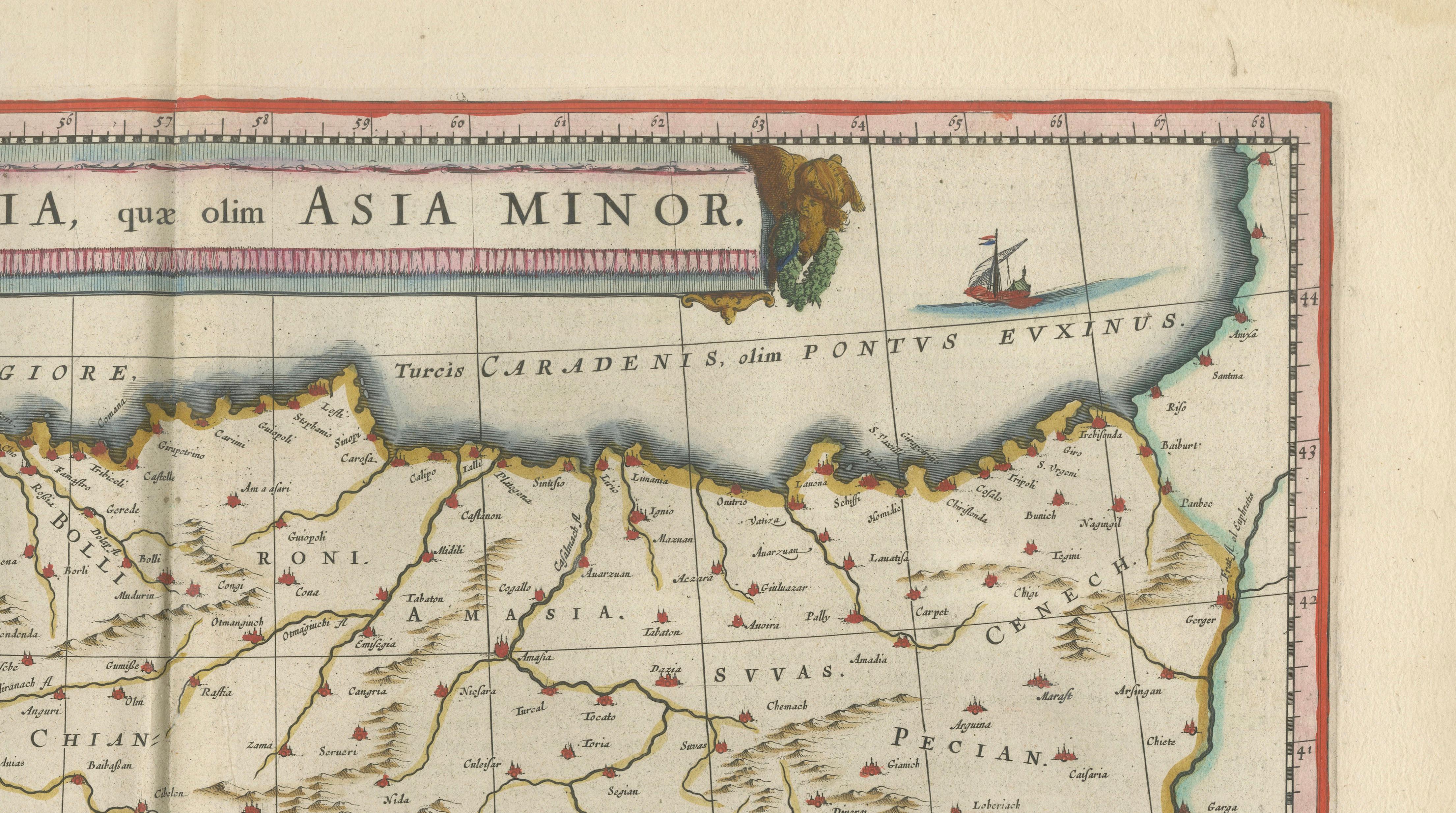
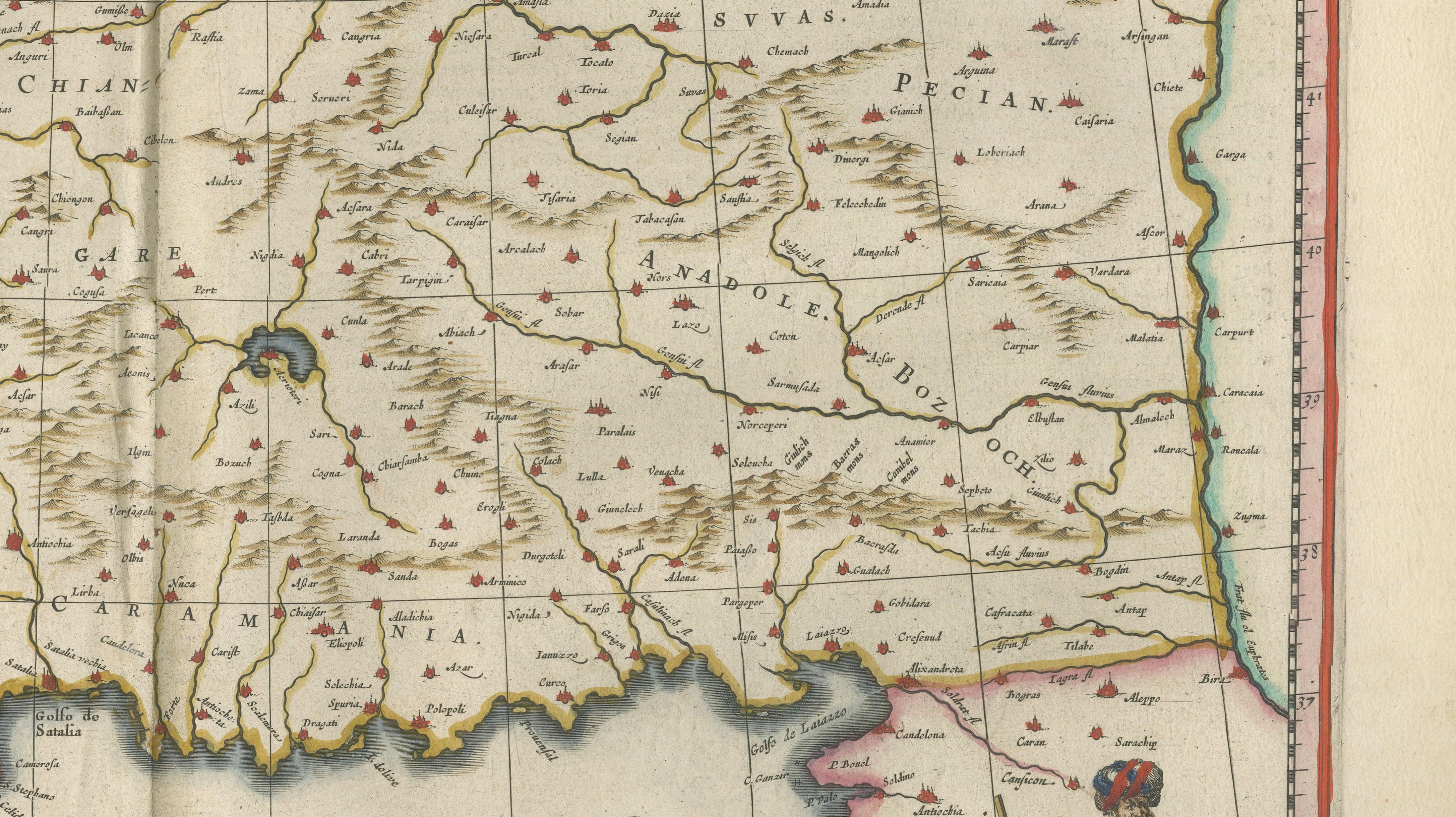
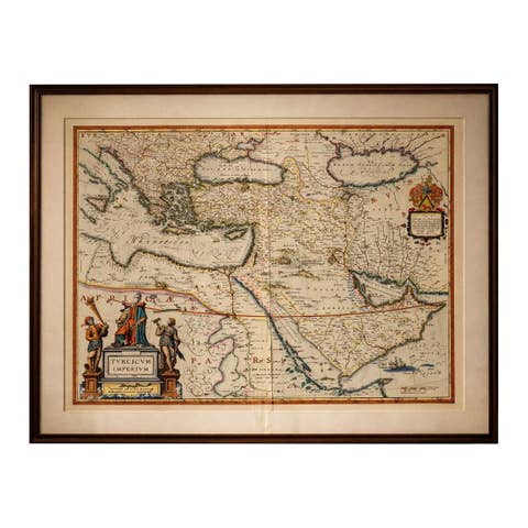
A highly decorative and historically important map of Anatolia (Asia Minor), engraved and published by Willem Jansz. Blaeu in Amsterdam around 1642. Titled “Natolia, quae olim Asia Minor”, this finely executed copper engraving presents the heart of the Ottoman Empire, spanning from the Aegean archipelago and the Greek world in the west to Armenia and the eastern provinces, with Cyprus prominently shown below.
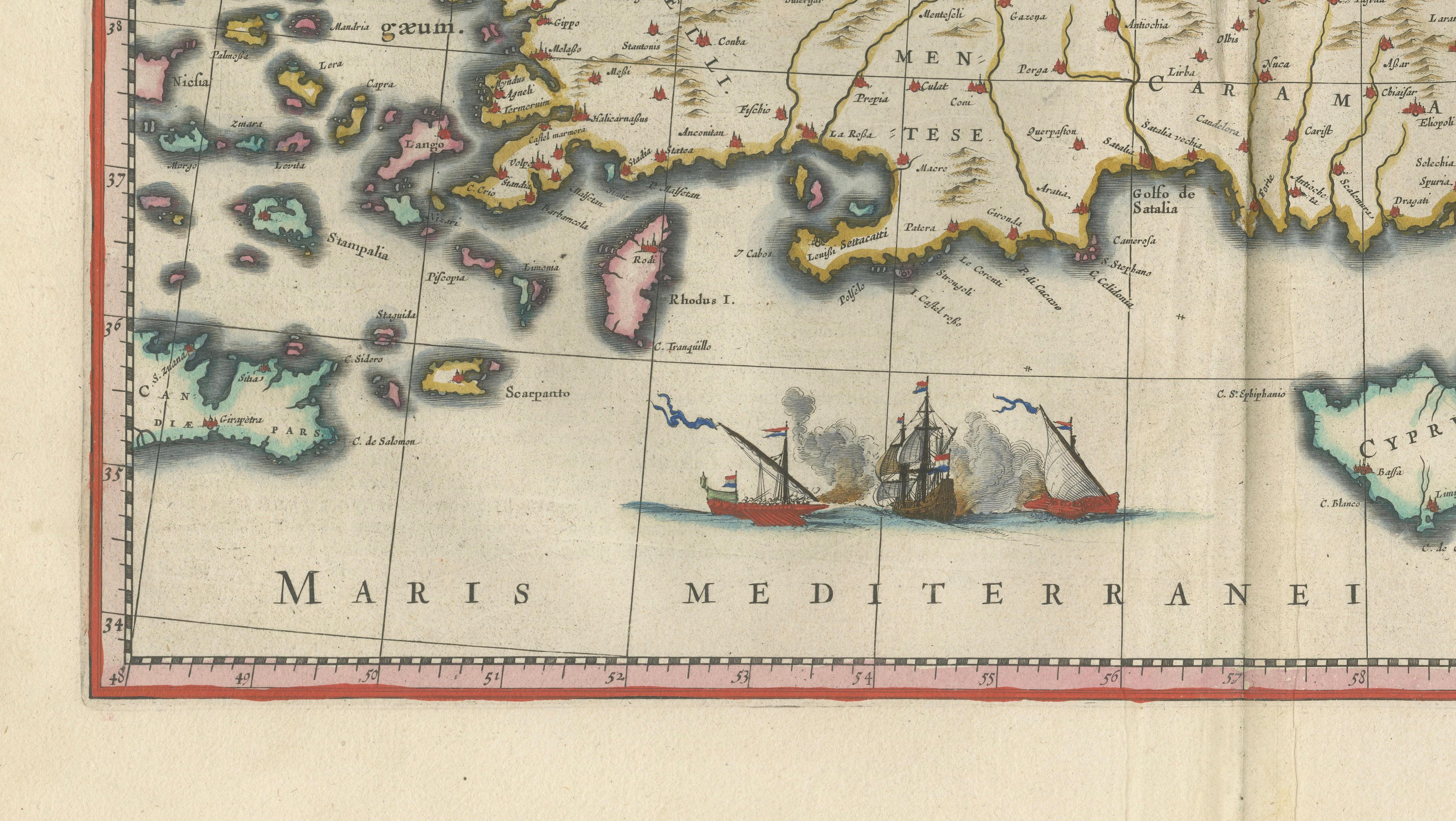
The map captures one of the most strategically significant regions of the early modern world. Anatolia formed the core of the Ottoman Empire, bridging Europe and Asia and controlling vital trade routes between the Mediterranean, the Black Sea, and the Near East. Blaeu’s rendering reflects both geographic precision and political importance, with a dense network of cities, rivers, and mountain ranges carefully engraved across the landscape. The coastline is crisply articulated, while the Aegean islands are individually detailed, creating a visually rich maritime environment.
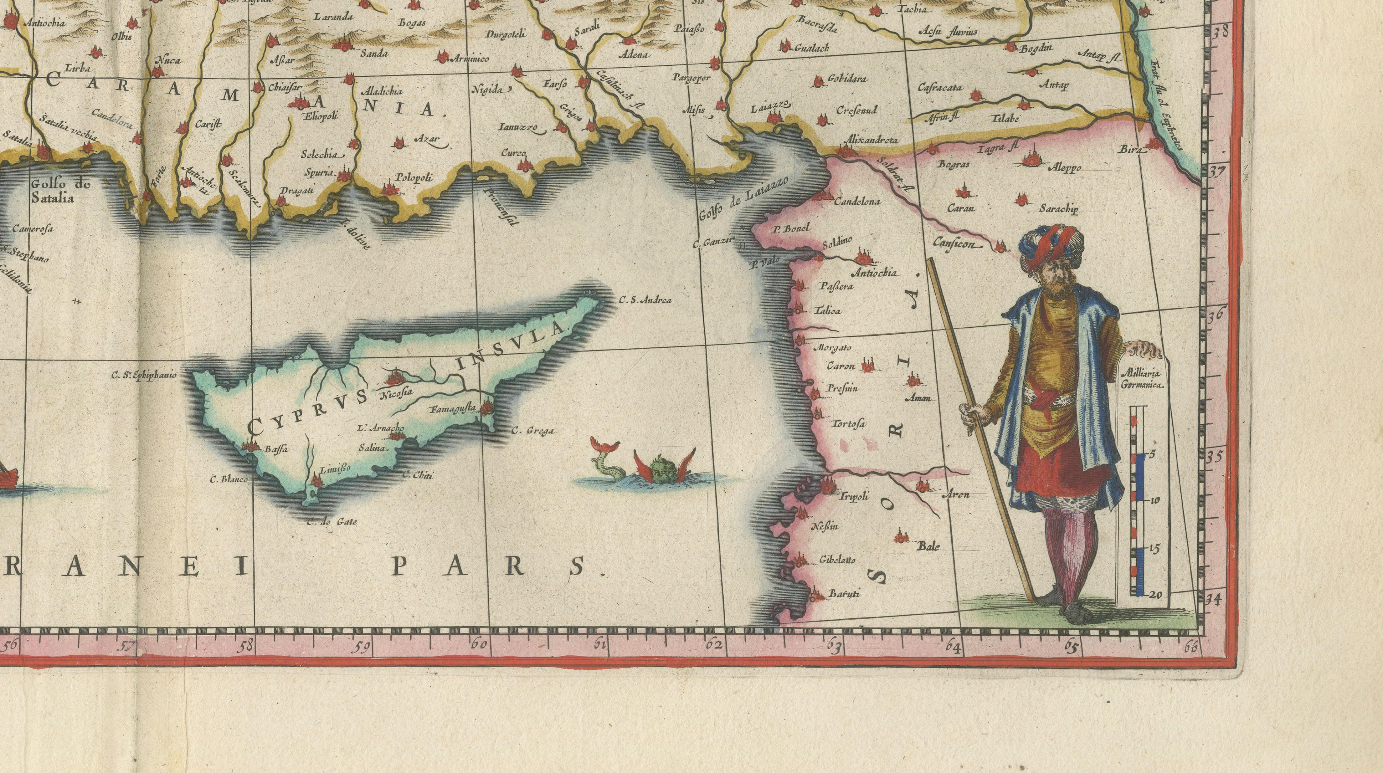
The composition is elevated by its decorative elements, characteristic of the Dutch Golden Age of cartography. At the lower right stands a finely engraved Ottoman figure in traditional attire, reinforcing the imperial identity of the region and adding a strong narrative presence. The seas are animated with sailing vessels, compass roses, and elegant linework, contributing to the map’s balance between scientific representation and artistic refinement. The title cartouche, set prominently at the top, is framed with subtle ornamental detail, maintaining Blaeu’s signature clarity and sophistication.
Published in Blaeu’s celebrated atlas Toonneel des Aerdrycx, this map belongs to one of the most prestigious cartographic productions of the 17th century. Blaeu’s work was widely regarded as the pinnacle of mapmaking in its time, combining accuracy, engraving quality, and aesthetic appeal in a way that few contemporaries could match.
This example is particularly appealing for collectors and interior designers alike. It offers a strong visual composition with recognizable geography, combined with refined decorative features that make it highly suitable as a statement piece. Whether displayed in a study, library, or sophisticated living space, it brings both historical depth and decorative elegance.
Condition report:
Good condition for its age, with original hand coloring. Central fold as issued. Light toning and minor age-related wear to the margins. Paper remains stable and well-preserved. Plate mark visible.
Framing tips:
A dark walnut or ebonized frame with a wide ivory or warm off-white mat will enhance the map’s warm tones and highlight the detailed engraving. A subtle gold inner fillet can add refinement. Particularly well suited to classic, Mediterranean, or London club-style interiors.
Technique: Copper engraving with original hand color
Maker: Willem Jansz. Blaeu, Amsterdam, circa 1642
Authenticity note:
This is an original 17th-century engraving, not a reproduction. All items we offer are authentic period works of art over 100 years old. The map is sold unframed; any framed images are shown for presentation and interior inspiration only.