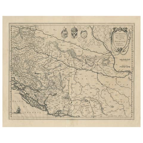
Antique Map of Croatia, Bosnia and Dalmatia after Mercator, Blaeu, circa 1640
€ 990
Original antique · The actual sheet photographed · Certificate of authenticity on request · Sold unframed · Worldwide shipping from € 15 (rates)
Date
circa 1640
Mapmaker / artist
Gerard Mercator
Publisher
Willem Janszoon Blaeu, Amsterdam
Technique
Copper Engraving
Coloring
Original hand color
Sheet size
54 × 64 cm (21.3 × 25.2 in)
Condition
Good
Reference
BG-14417
What the condition grades mean
Excellent
Bright and clean, with no faults worth mentioning.
Very good
Only light signs of age, such as faint toning.
Good
Normal signs of age for a sheet of this period: toning, some foxing, small marks or neat old repairs.
Fair
Clear faults such as staining, tears or repairs, priced to match.
Every fault we see is written in the condition note, and the whole sheet is shown uncropped in the photos.
Condition
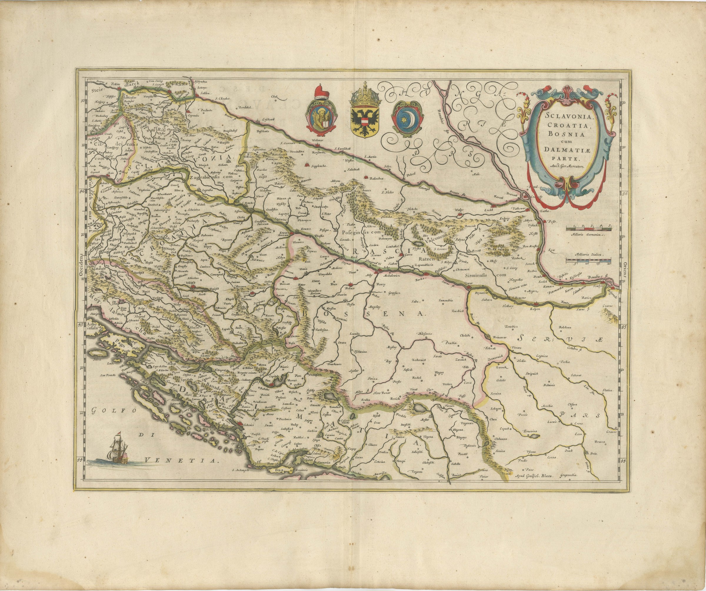
Light uneven toning, browner towards the edges. Marked handling soiling along all four edges. Foxing over much of the margin. All four corners complete. Minor edge wear, shallow nicks along the bottom. Folding line as issued.
About this sheet
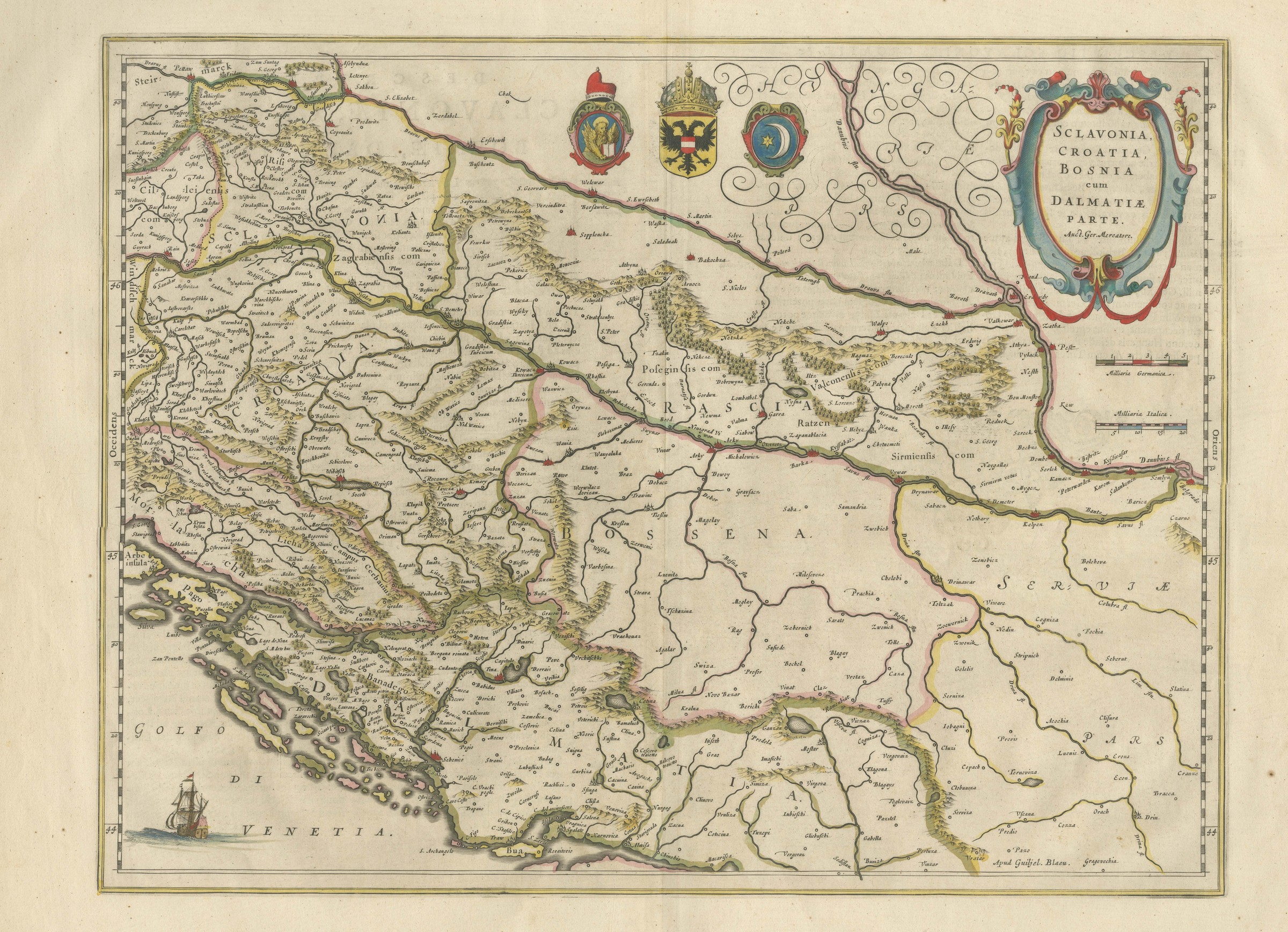
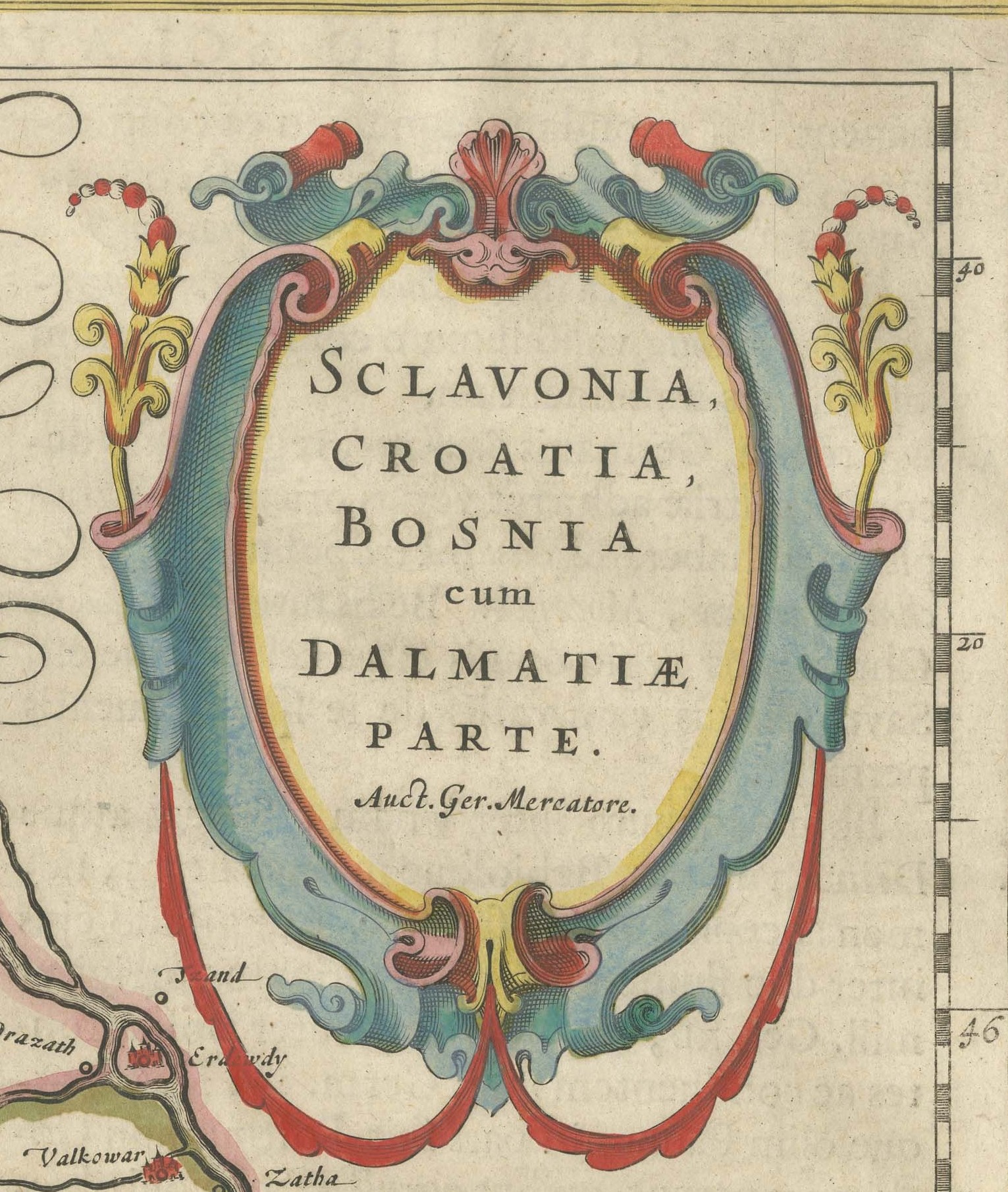
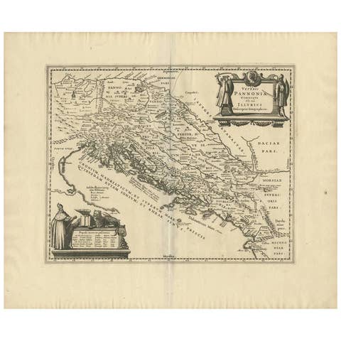
An original antique copper engraved map with original hand color, circa 1640. The cartouche at the upper right is lettered "SCLAVONIA, CROATIA, BOSNIA cum DALMATIAE PARTE. Auct. Ger. Mercatore.", that is, Slavonia, Croatia, Bosnia with part of Dalmatia, by Gerard Mercator.
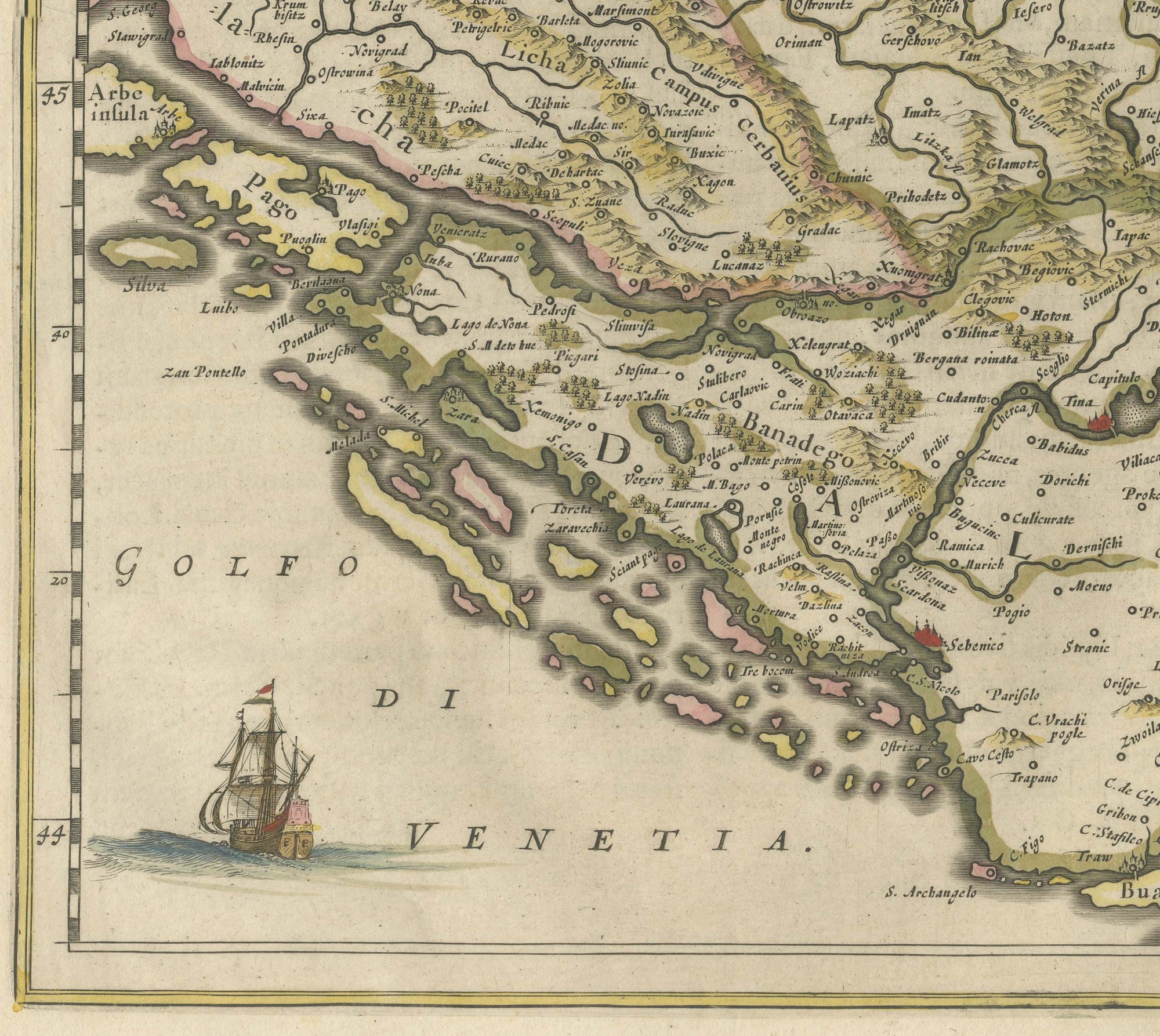
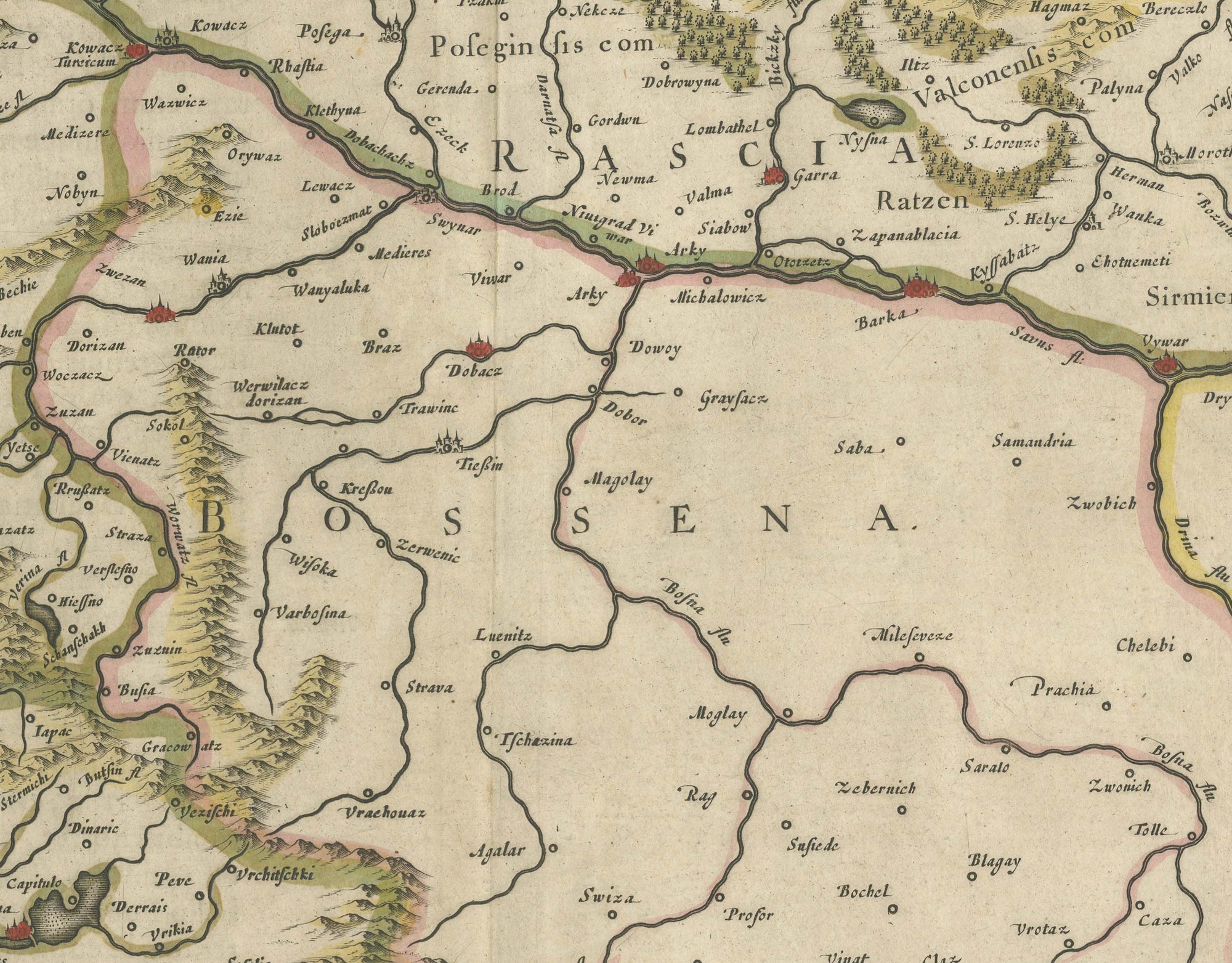
The map runs from Styria and the Adriatic islands in the west to the Danube and part of Serbia in the east, with the rivers of the region running east toward the Danube. Croatia, Slavonia, Bosnia and Dalmatia are outlined in color, mountains are drawn as small hills, and hundreds of towns are named, Mostar among them. The sea at the lower left is lettered "GOLFO DI VENETIA", with a sailing ship off the Dalmatian islands.
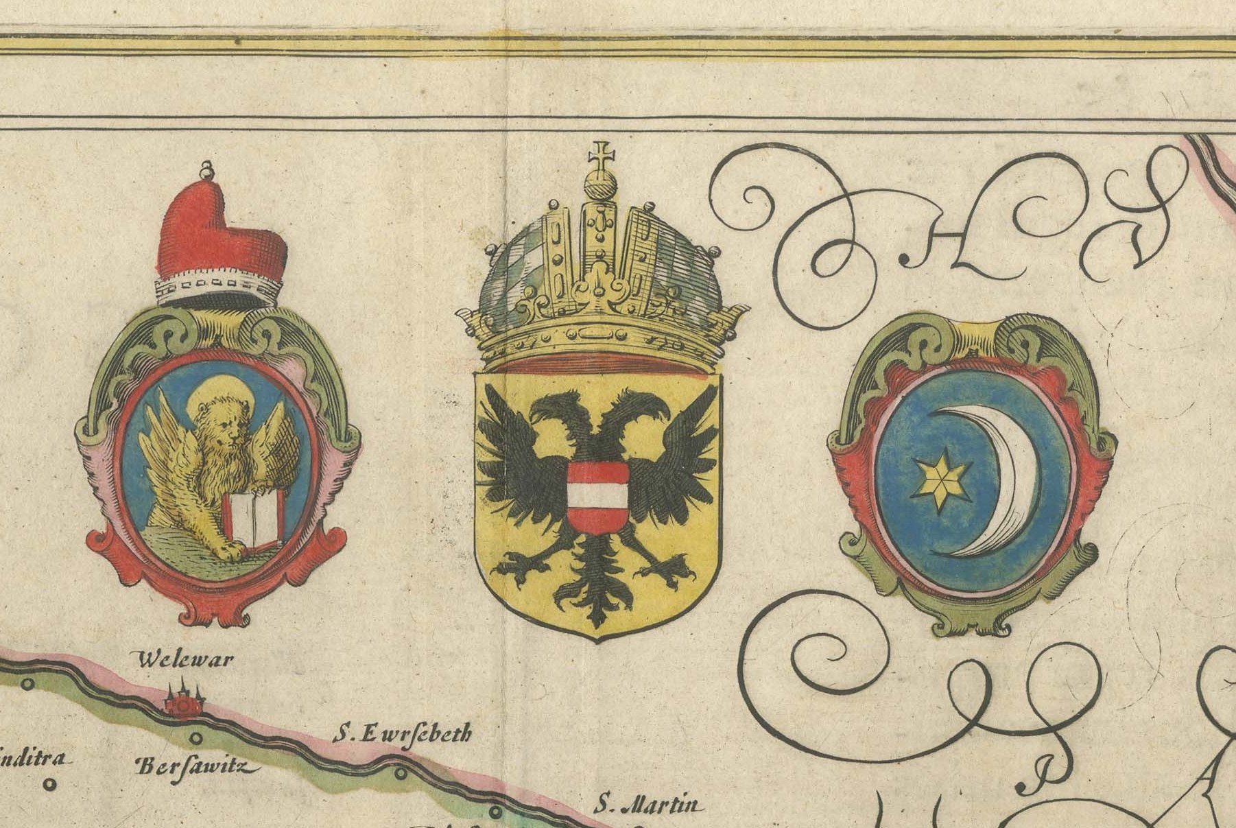
Across the upper center are three coats of arms: the lion of Saint Mark under a ducal cap for Venice, the double headed eagle under the imperial crown for the Habsburgs, and a crescent and star for the Ottomans. The name of Hungary is written in large calligraphic flourishes beside them. The title stands in a scrolled cartouche with flowers, and two scale bars at the right are lettered "Milliaria Germanica" and "Milliaria Italica". Text shows through from the reverse.
The cartouche carries the author's line "Auct. Ger. Mercatore." and the lower right of the map is lettered "Apud Guiljel. Blaeu.", the imprint of Willem Janszoon Blaeu of Amsterdam. There is no plate number. The map is after Gerard Mercator and was issued in the Blaeu atlases of the late 1630s and early 1640s. Gerard Mercator lived from 1512 to 1594 and Willem Janszoon Blaeu from 1571 to 1638.
Light uneven toning, browner towards the edges. Marked handling soiling along all four edges. Foxing over much of the margin. All four corners complete. Minor edge wear, shallow nicks along the bottom. Folding line as issued.
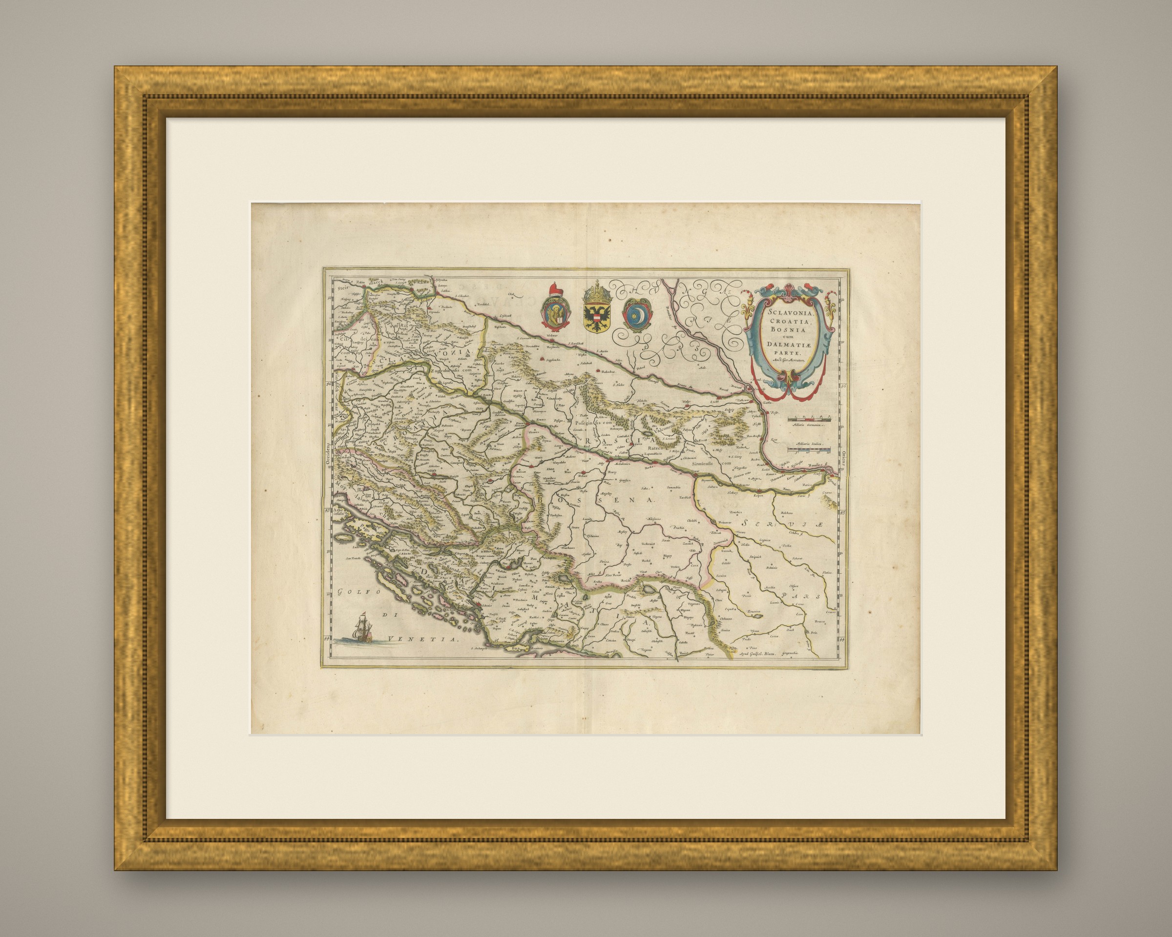
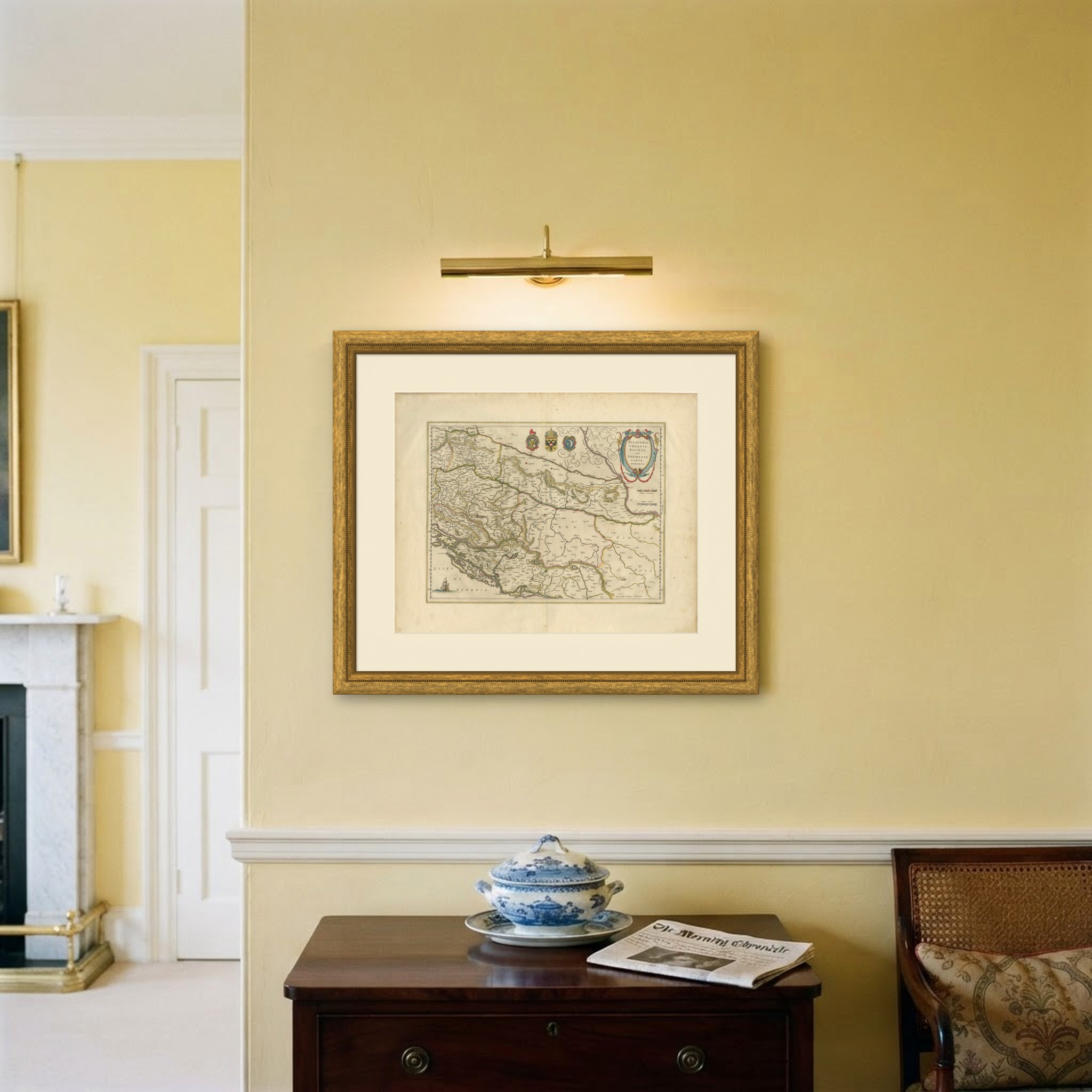
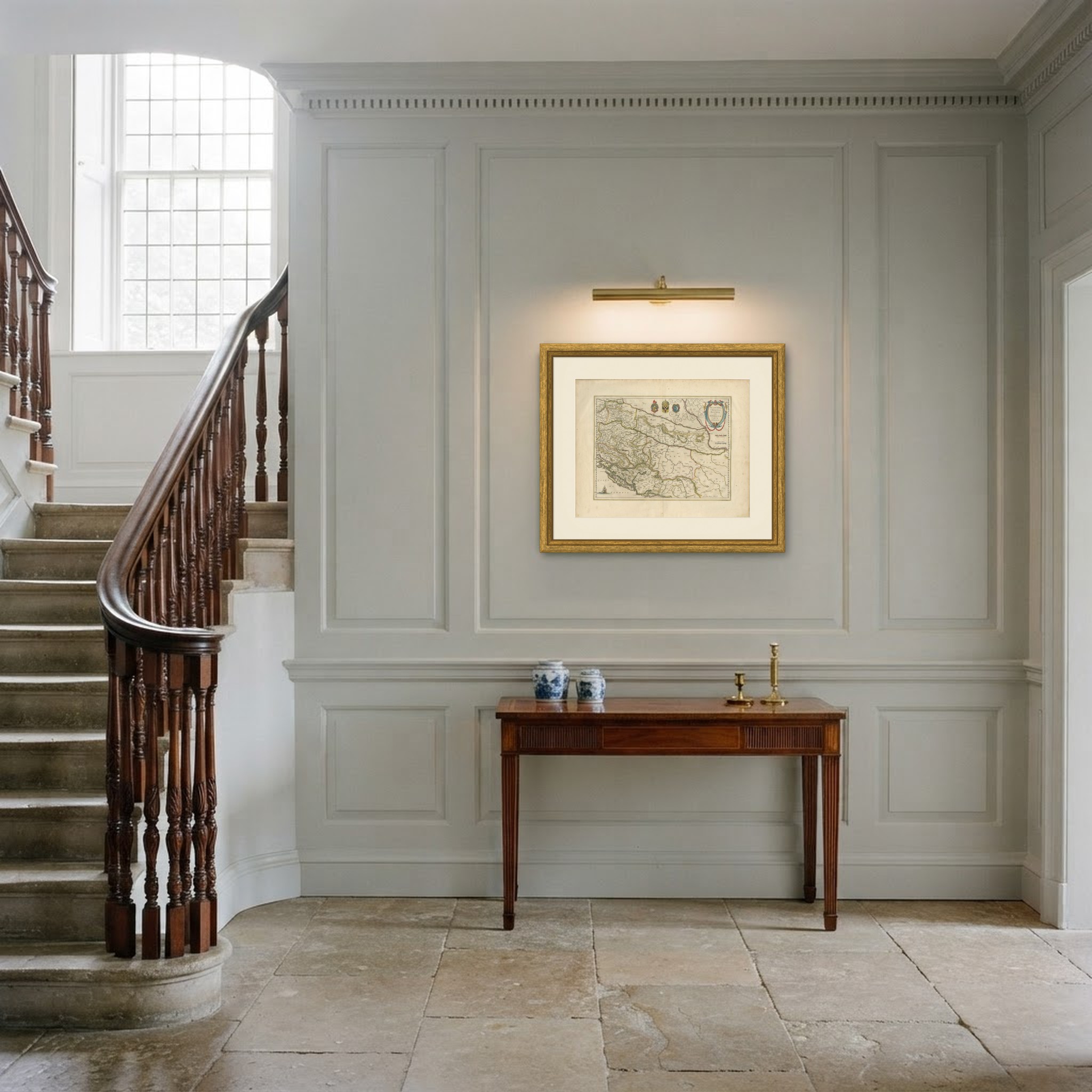
This is an original antique map, not a modern reproduction. This item is sold unframed. Any framed or interior images are shown for presentation and inspiration only, unless the listing explicitly states that the item is sold framed.