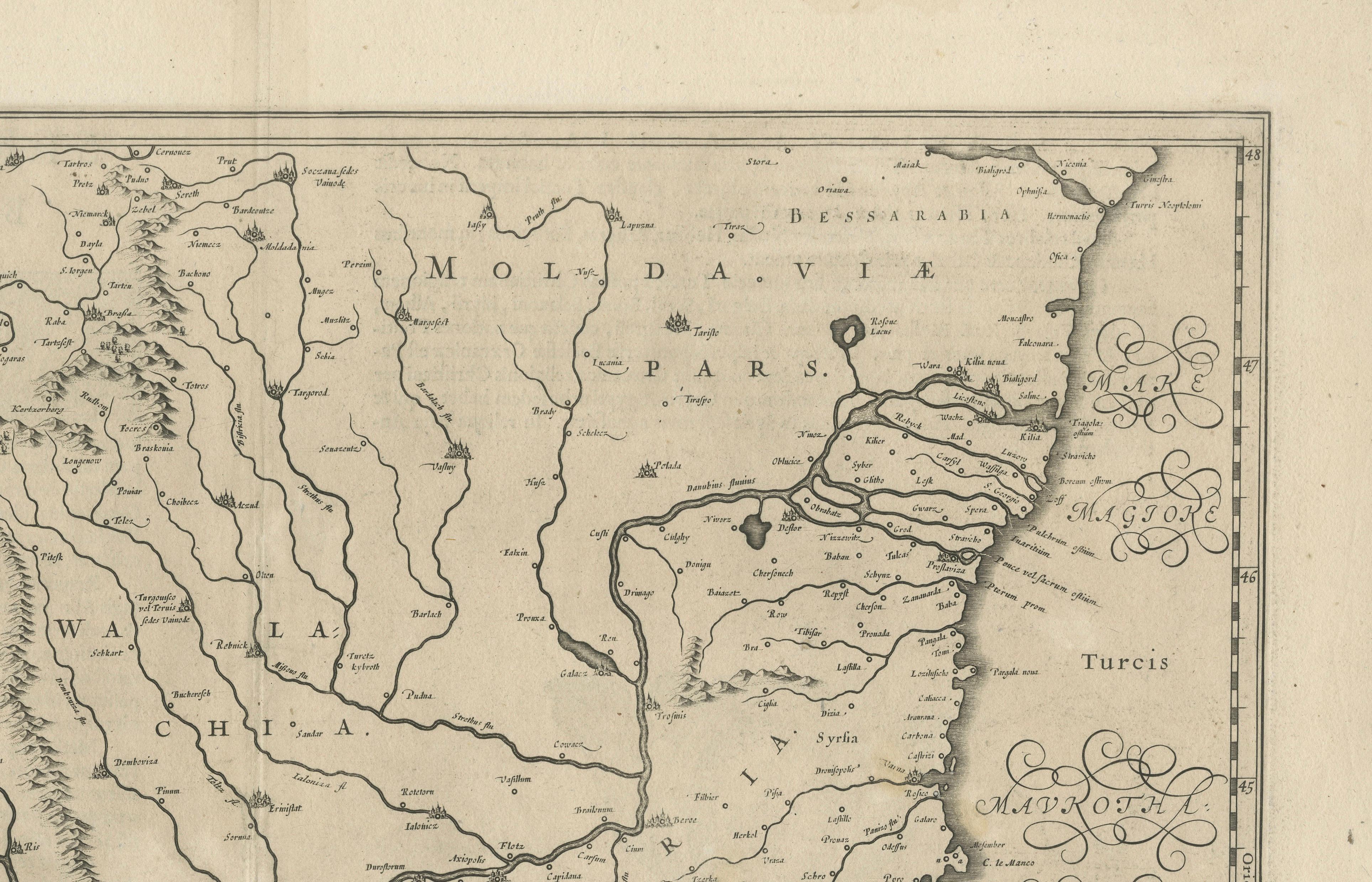
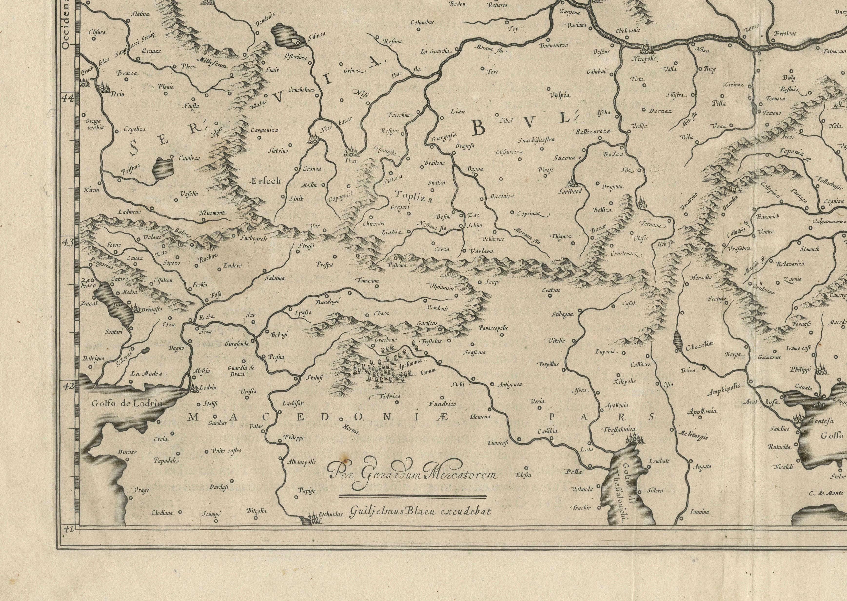
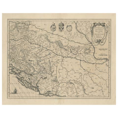
17th Century Blaeu Map – Ottoman Balkans: Walachia, Bulgaria, Romania, ca. 1650
€ 490
One of a kind: this is the sheet in the photographs. Ships from Langweer, the Netherlands.
Date
1650
Sheet size
48.2 × 57.6 cm (19.0 × 22.7 in)
Condition
Good
Reference
BG-13771-4
Condition
Good condition for its age. Strong, clean impression on laid paper with wide margins. Light overall age toning, faint foxing in blank margins, and minor creasing along old fold lines, not affecting the engraved area. No tears or repairs noted.
About this sheet
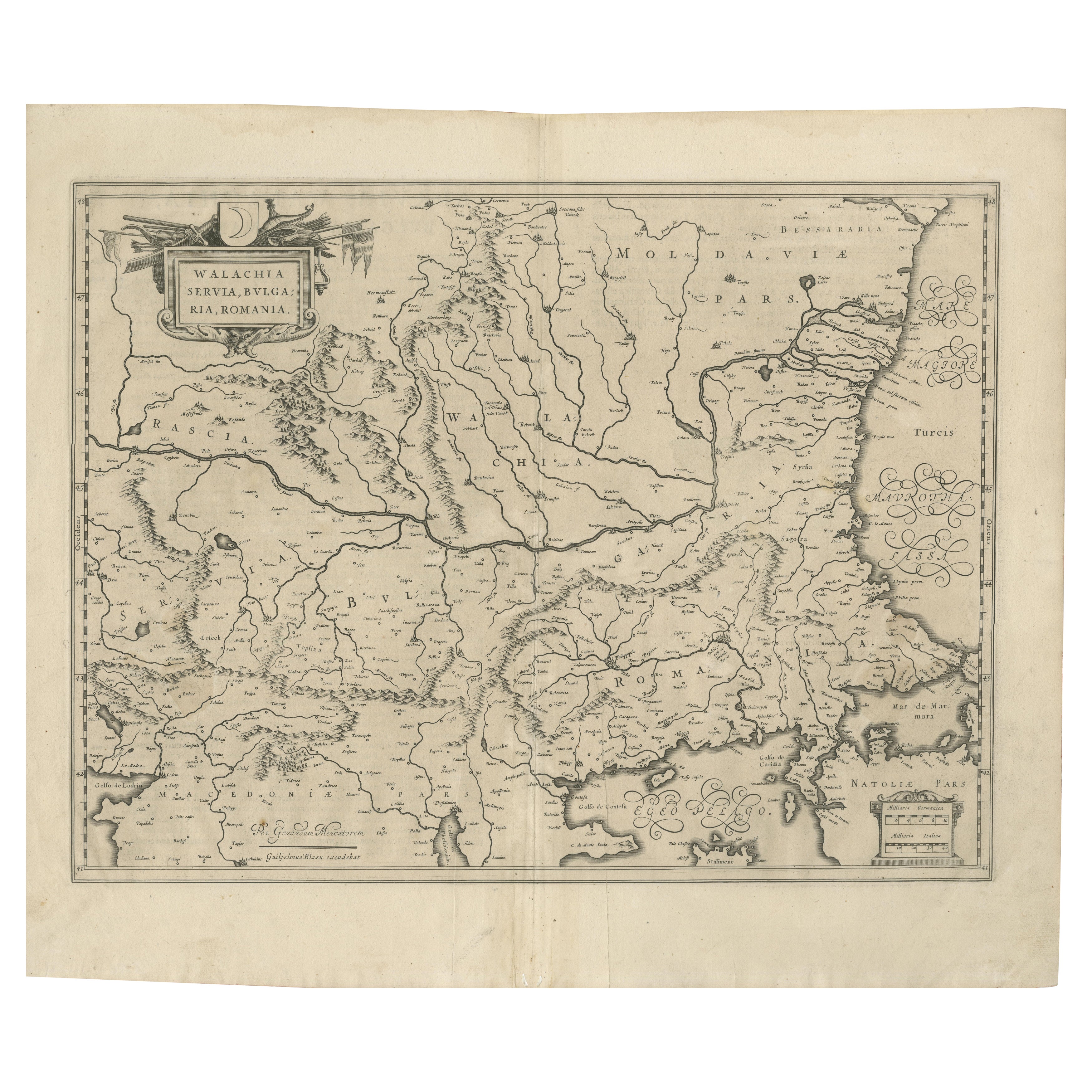
Blaeu Map of Walachia, Servia, Bulgaria, Romania, circa 1640
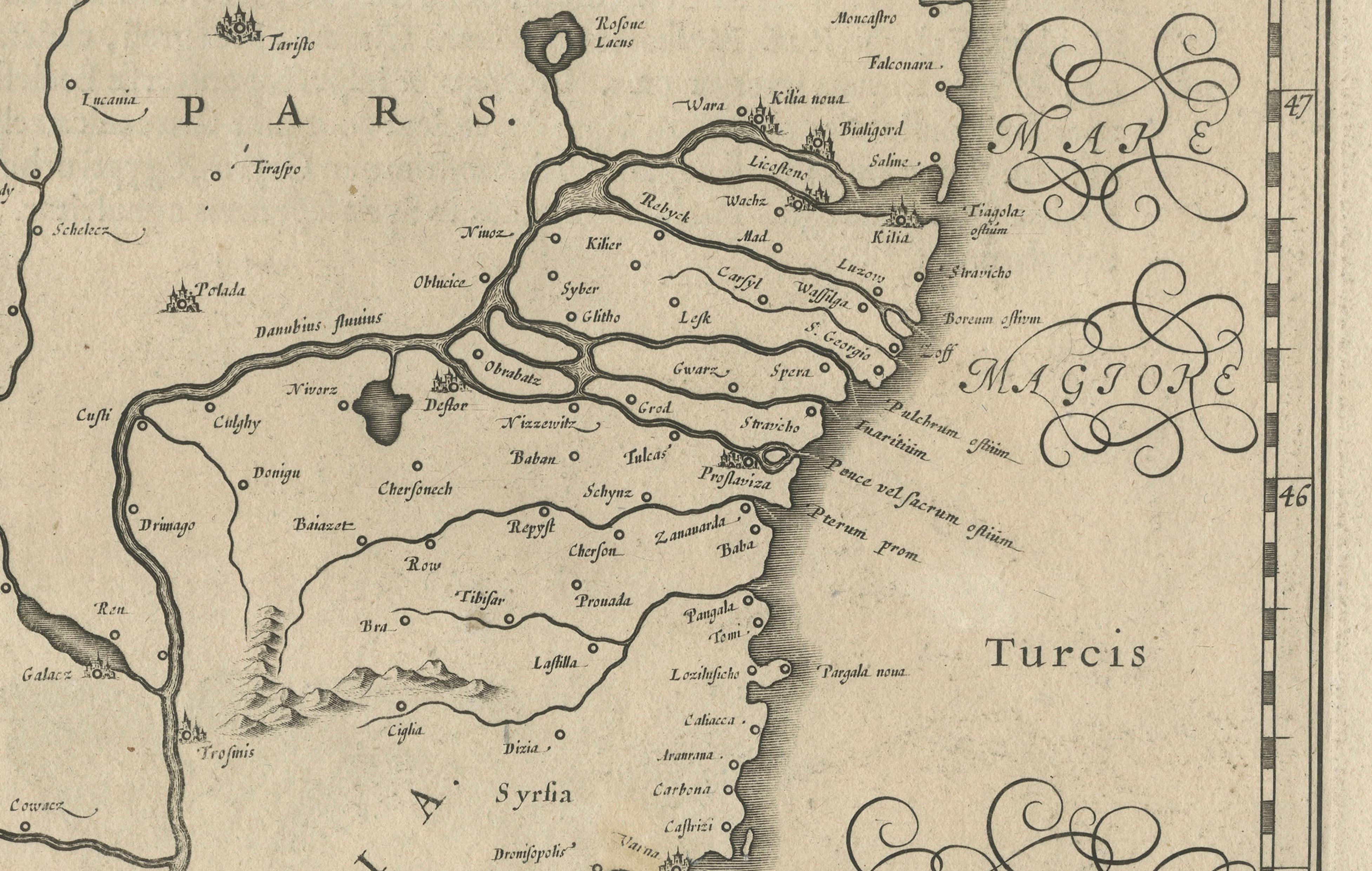
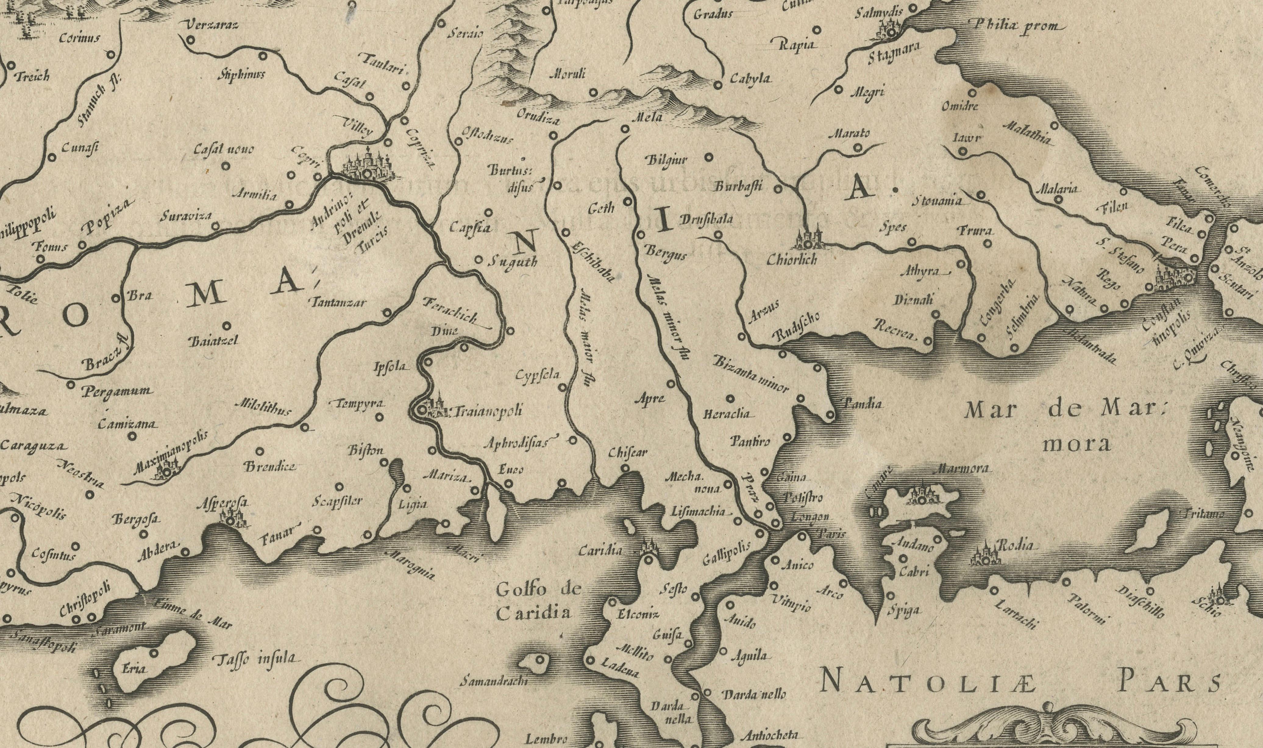
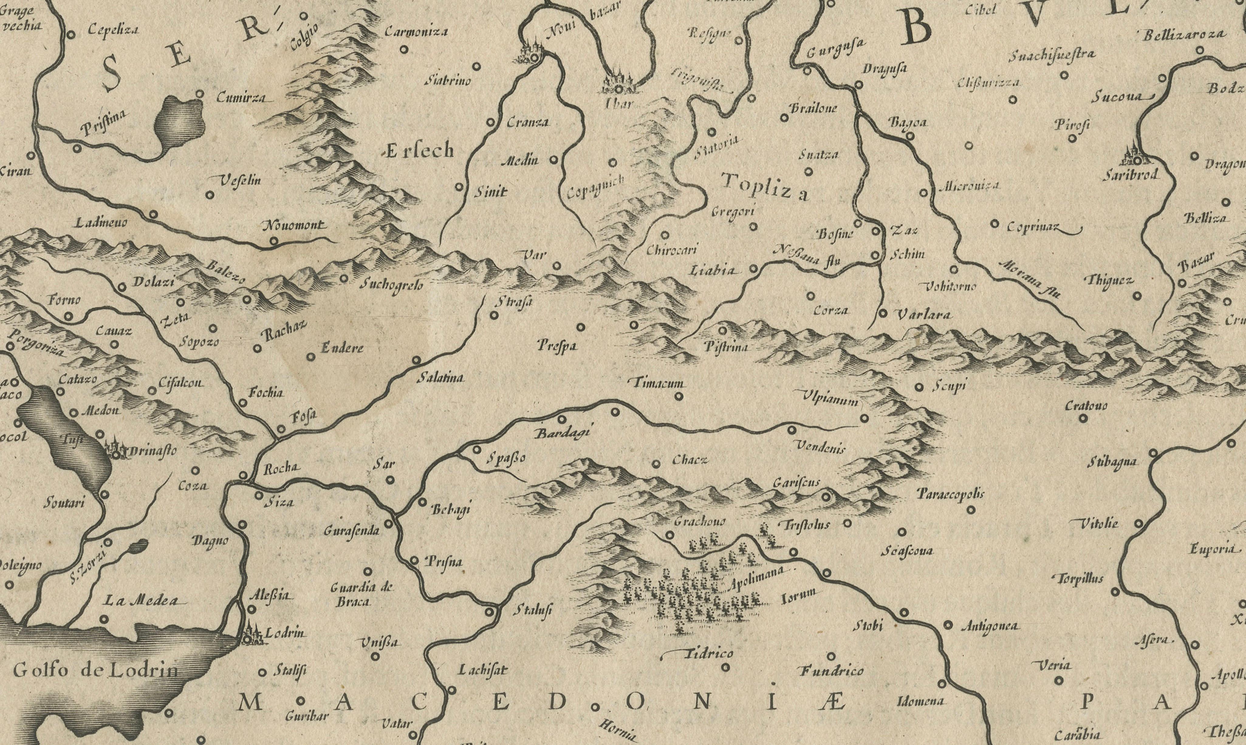
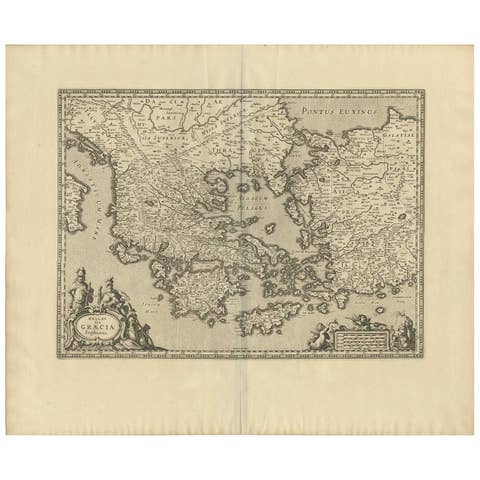
This is an original antique map titled “Walachia, Servia, Bulgaria, Romania,” published by Joan Blaeu in Amsterdam between 1634 and 1672. The map is a copperplate engraving with fine early modern cartographic detail typical of the Blaeu publishing house, renowned for its accuracy, decorative style, and clarity.
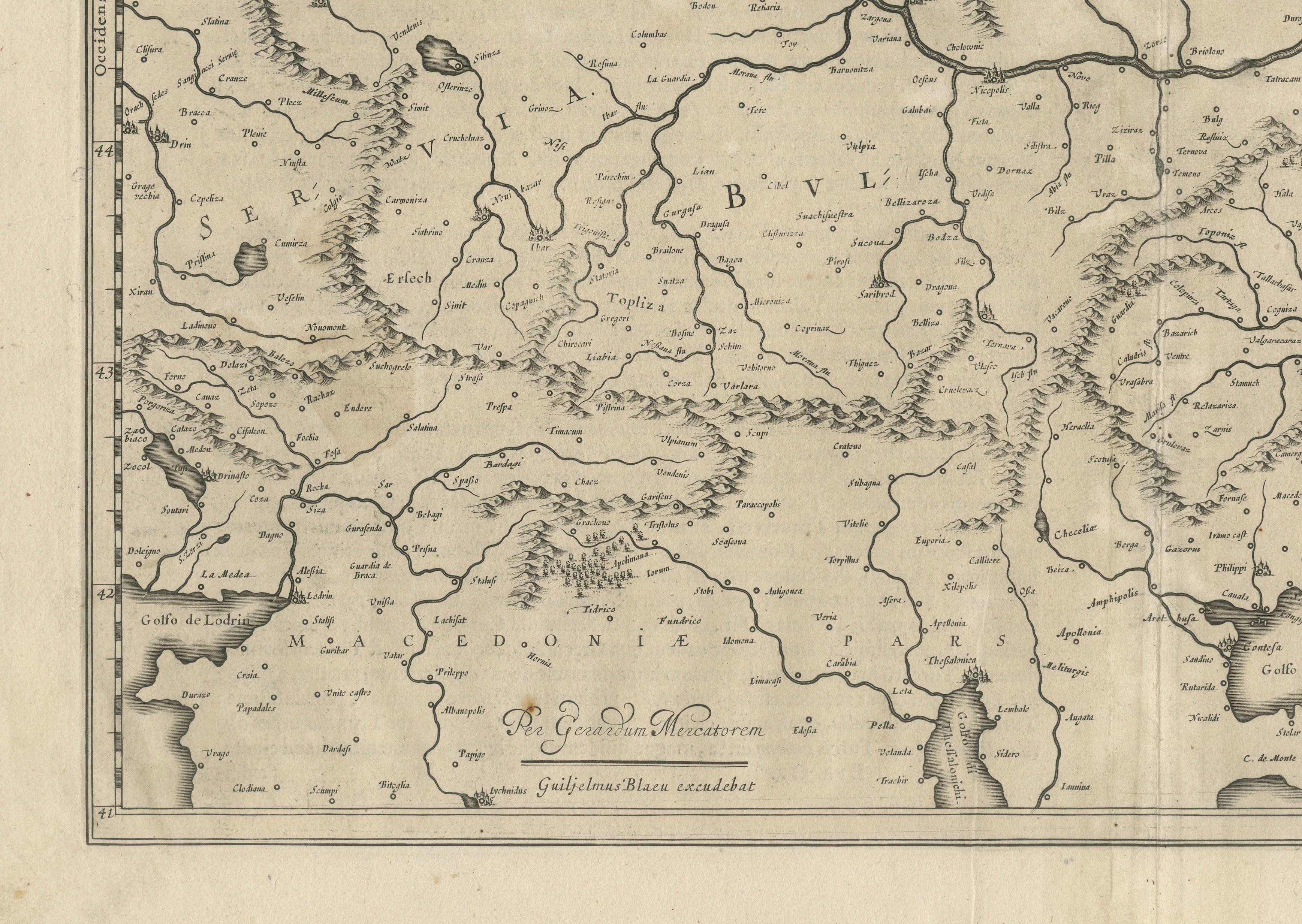
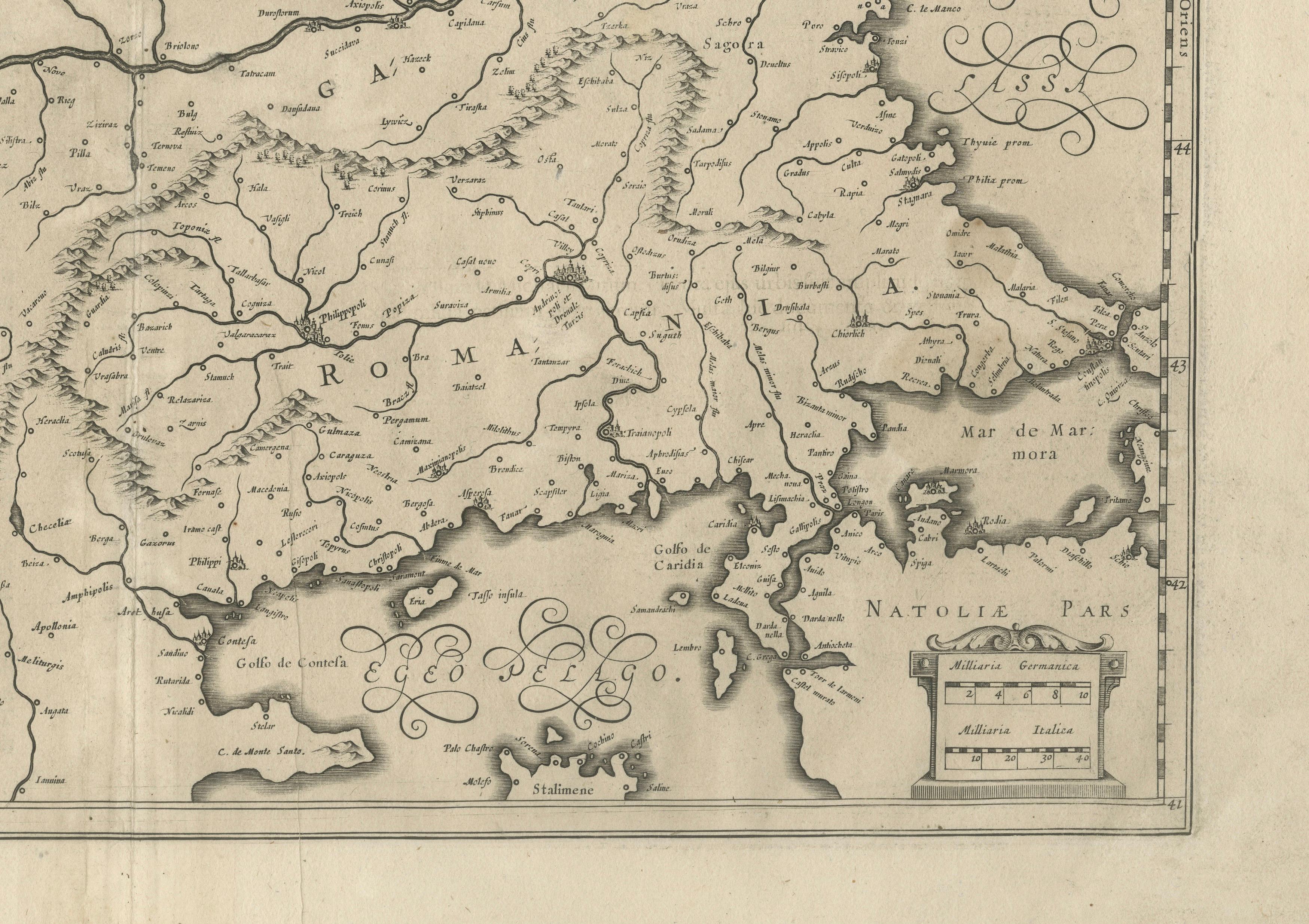
The map covers a wide region of southeastern Europe, including parts of present-day Romania (Wallachia and Moldavia), Bulgaria, Serbia, Macedonia, and northern Greece. Major rivers such as the Danube and its tributaries are prominently engraved, as well as mountain ranges and settlements labelled with their Latinised historical names. To the east, the Black Sea (Mare Maggiore) is shown with elegant calligraphy, while to the south, parts of the Aegean and Mediterranean Seas are included, indicating coastal cities and islands.
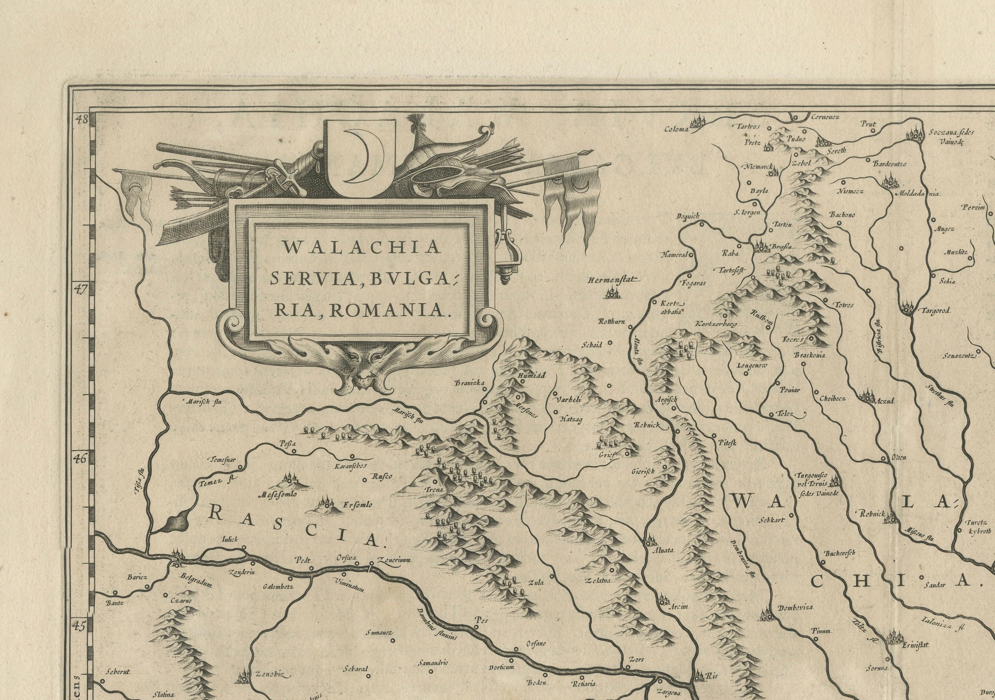
The cartouche at top left is decorated with Ottoman-style arms and banners, referencing the region’s status under Ottoman rule during this period. The crescent symbol in the cartouche further reinforces the Ottoman dominion across these Balkan territories. The scale cartouche at lower right includes a mileage indicator in Italian miles, and the seas are lightly stippled to provide visual contrast.
This map was engraved by Willem Blaeu and later published by his son Joan Blaeu, both leading figures in Dutch cartography during the Golden Age. Their atlases were considered the most authoritative of the 17th century and remain highly prized for their craftsmanship, historical significance, and elegant design.
Condition: Good condition for its age. Strong, clean impression on laid paper with wide margins. Light overall age toning, faint foxing in blank margins, and minor creasing along old fold lines, not affecting the engraved area. No tears or repairs noted. Fully suitable for framing.
Framing tips: Frame this map in a thin dark wood or black moulding to complement its monochrome engraving. Use an off-white or cream archival mat to highlight the detailed line work and preserve the sheet edges. UV-protective glazing is recommended to prevent light damage and maintain the map’s clarity and paper integrity.