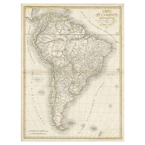
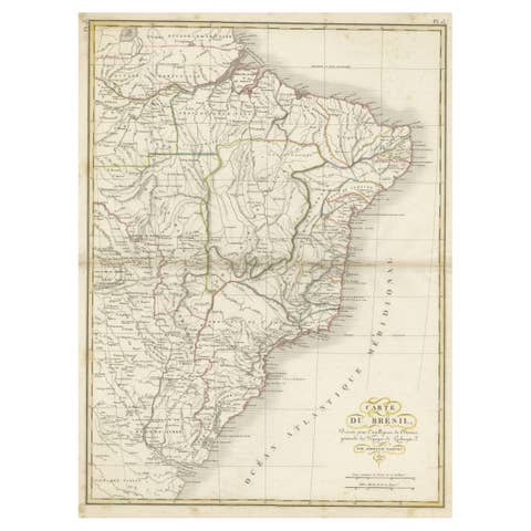
Original Antique Map of North and South America in Attractive Old Coloring
€ 990
Original antique · The actual sheet photographed · Certificate of authenticity on request · Sold unframed · Worldwide shipping from € 15 (rates)
Mapmaker / artist
Isaak Tirion
Sheet size
41 × 50 cm (16.1 × 19.7 in)
Condition
Good
Reference
BG-13254-1
What the condition grades mean
Excellent
Bright and clean, with no faults worth mentioning.
Very good
Only light signs of age, such as faint toning.
Good
Normal signs of age for a sheet of this period: toning, some foxing, small marks or neat old repairs.
Fair
Clear faults such as staining, tears or repairs, priced to match.
Every fault we see is written in the condition note, and the whole sheet is shown uncropped in the photos.
Condition
Wear consistent with age and use. Beautiful original/contemporary hand coloring. Original folding line. General age-related toning, minor wear. Blank verso. Please review the images for further condition details.
About this sheet
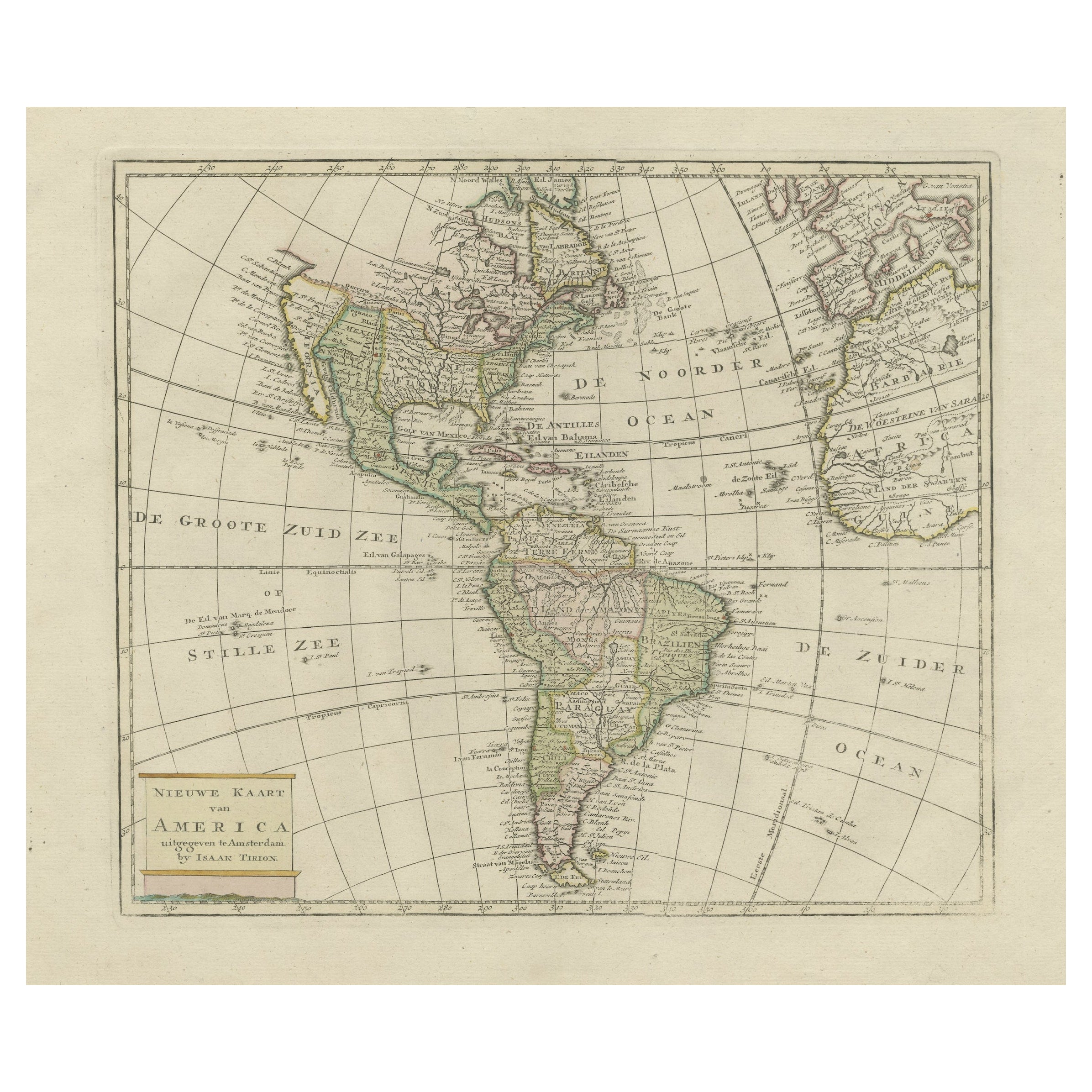
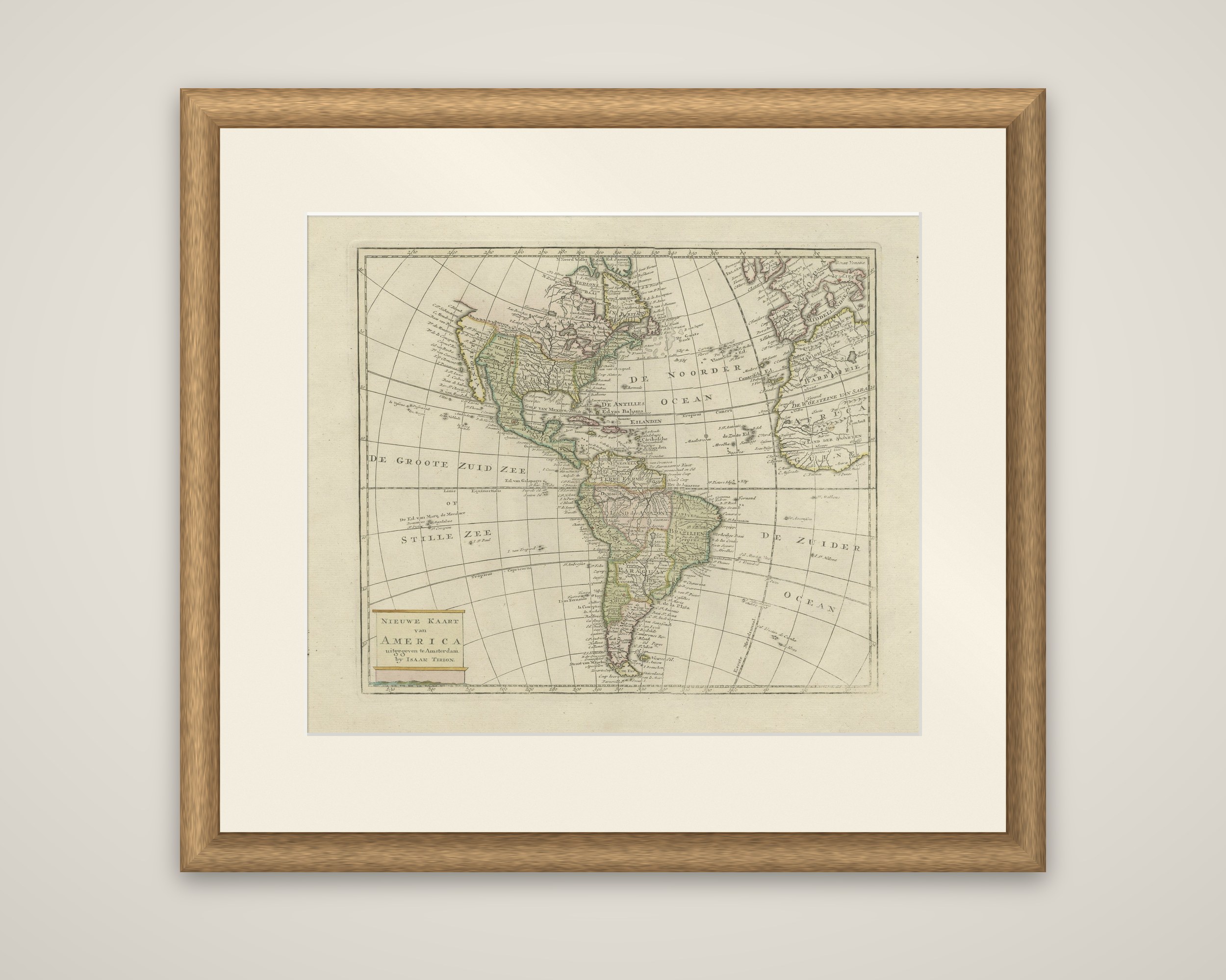
North and South America on a single sheet, an original antique map titled "Nieuwe Kaart van America", issued in Amsterdam by Isaak Tirion around 1750. The engraved map carries original outline hand color in soft pink, green and yellow, and the title is set in a plain cartouche at the lower left with the imprint "uitgegeeven te Amsterdam by Isaak Tirion".
Both continents are drawn on a curved graticule, with the Atlantic labeled "De Noorder Ocean" and "De Zuider Ocean", and the Pacific named "De Groote Zuid Zee of Stille Zee". The edges of Europe and Africa appear at the right, with the Barbary coast and the Gulf of Guinea. The Caribbean is lettered "De Antilles" and "Ed van Bahama Eilanden". In the interior of North America the fabled Quivira is used to name a large mountain range placed just north of Mexico, a reminder of how little of the continent's western interior was known to European mapmakers at mid-century. South America is divided into its colonial provinces, with the Amazon basin and the Andes drawn in the same economical style.
Tirion was one of the leading Amsterdam publishers of compact atlases in the middle of the eighteenth century, and this sheet shows the whole New World at a size meant for a handy atlas.