Maps & PrintsBartele Gallery · Langweer
Home / Antique Maps / America / South America

South America · 19th century

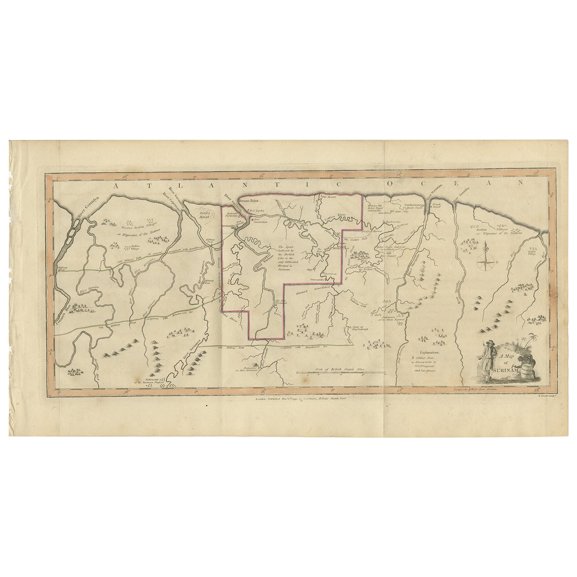
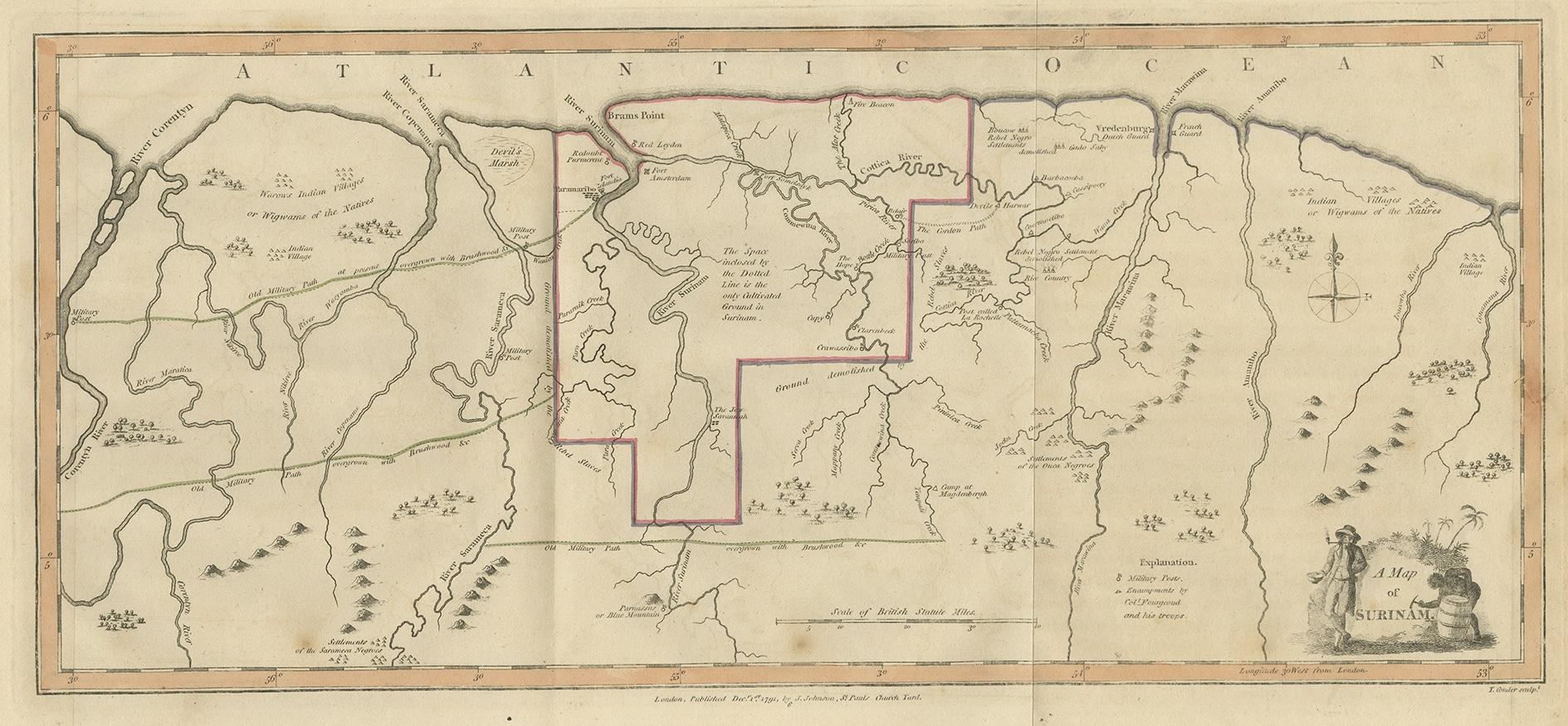
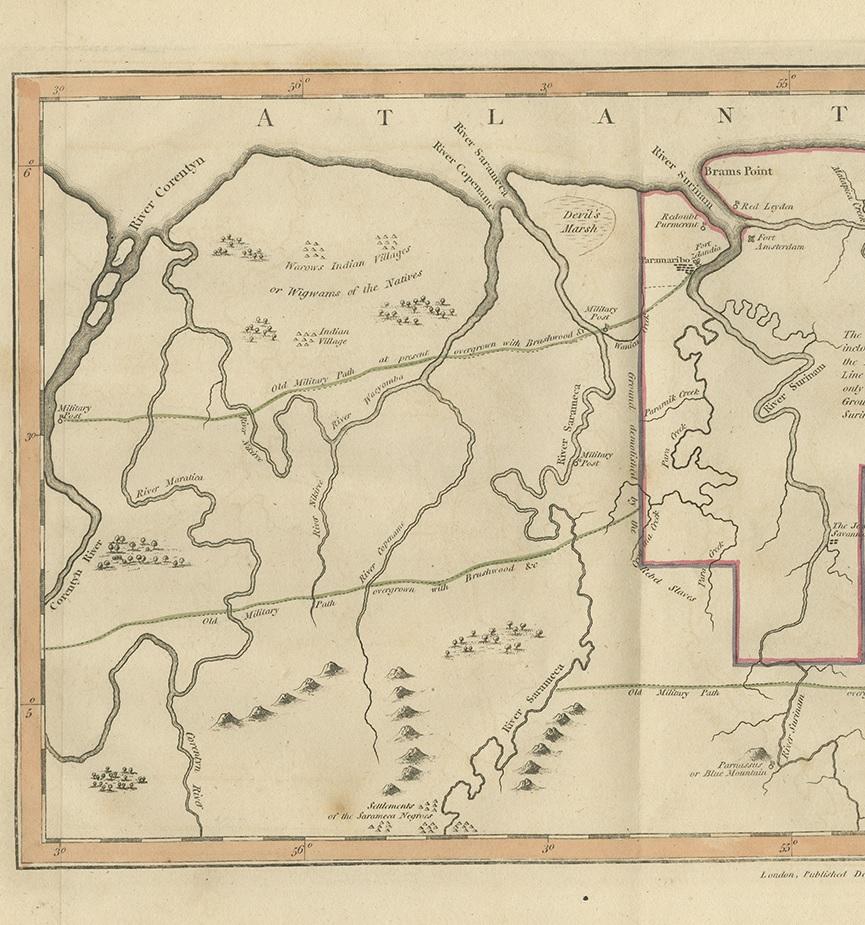
Antique Map of Surinam by Stedman '1813'

€ 500

One of a kind: this is the sheet in the photographs. Ships from Langweer, the Netherlands.

Date
1813
Sheet size
26 × 49 cm (10.2 × 19.3 in)
Condition
Good
Reference
BG-12754

Condition

General age-related toning. Original folding lines, minor wear. Blank verso. Please study images carefully.
About this sheet

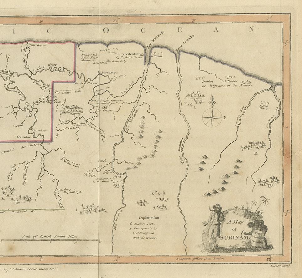
Antique map titled 'A Map of Surinam'. Original antique map of Surinam, showing Dutch settlements, military posts, rebel Maroon camps and native villages. This map originates from 'Narrative of a five years' expedition against the revolted negroes of Surinam' by John Gabriel Stedman. Published 1813.

More from South America

Ask about this sheet

Antique Map of Surinam by Stedman '1813'
1813 · Ref. BG-12754 · € 500
We reply by email, usually within one working day.