About this sheet
Antique Map of Lima, Peru by Isaak Tirion, 1769
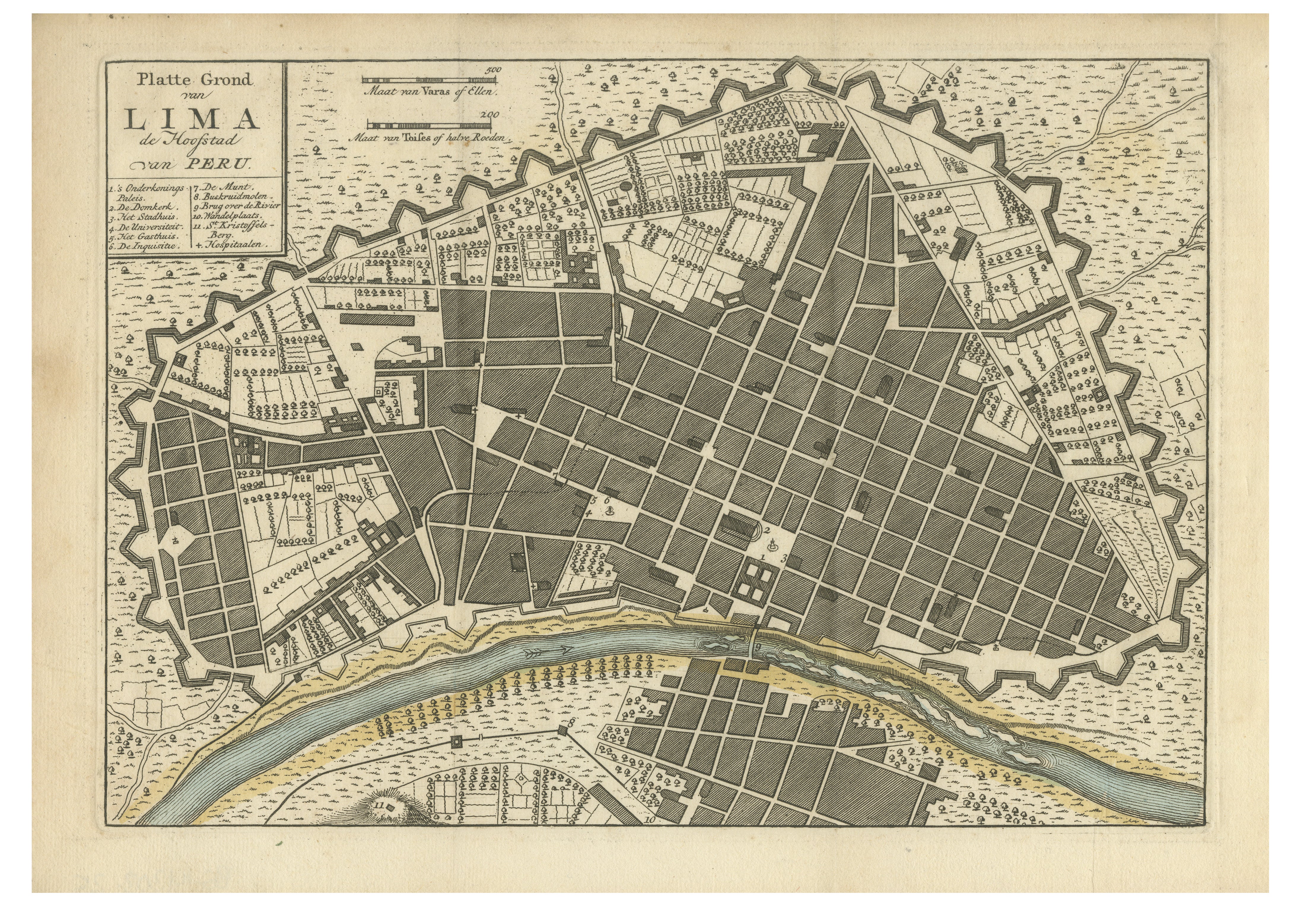
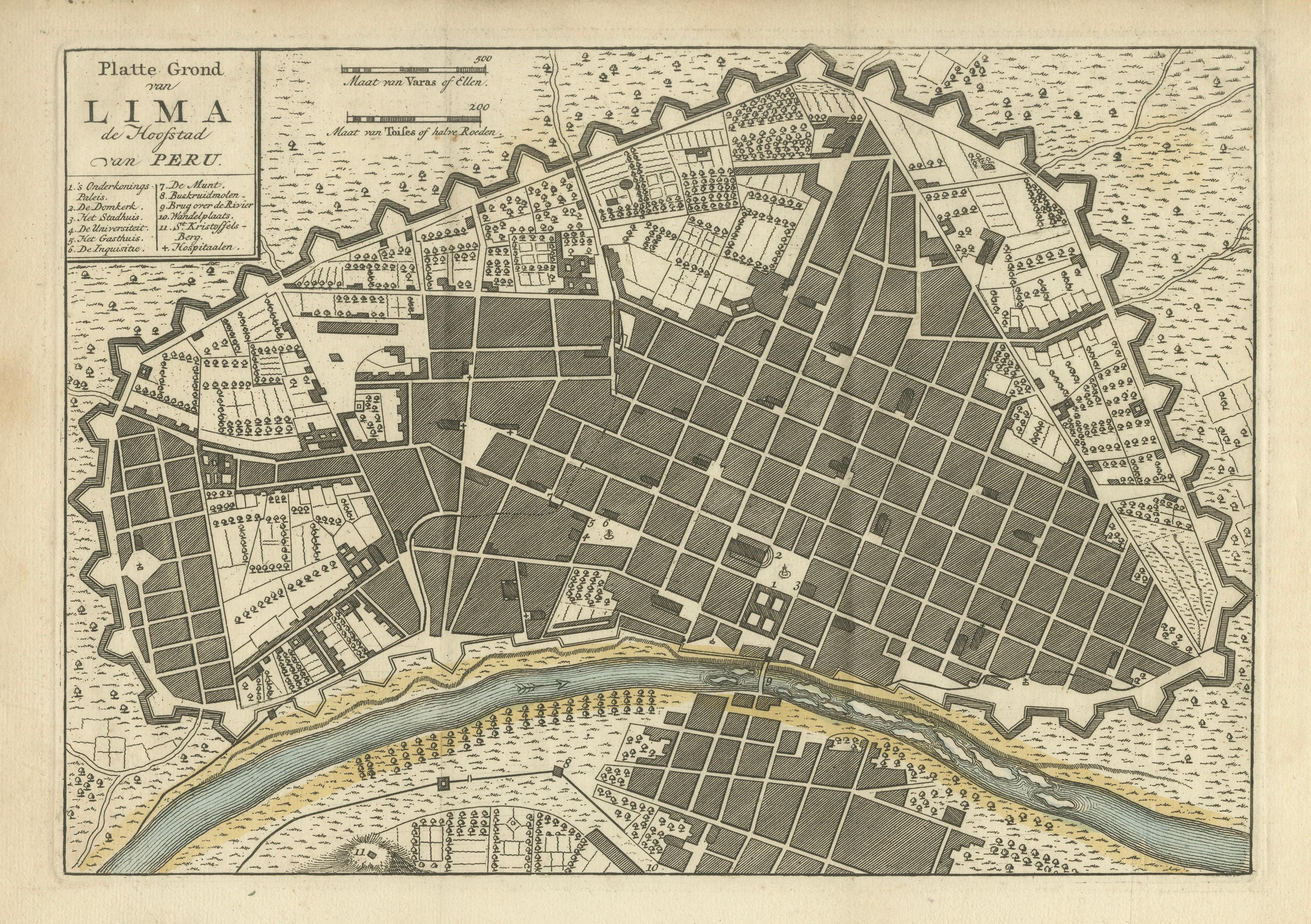
Original antique copperplate engraved city plan of Lima, Peru, published in Amsterdam in 1769 by the Dutch cartographer and publisher Isaak Tirion.
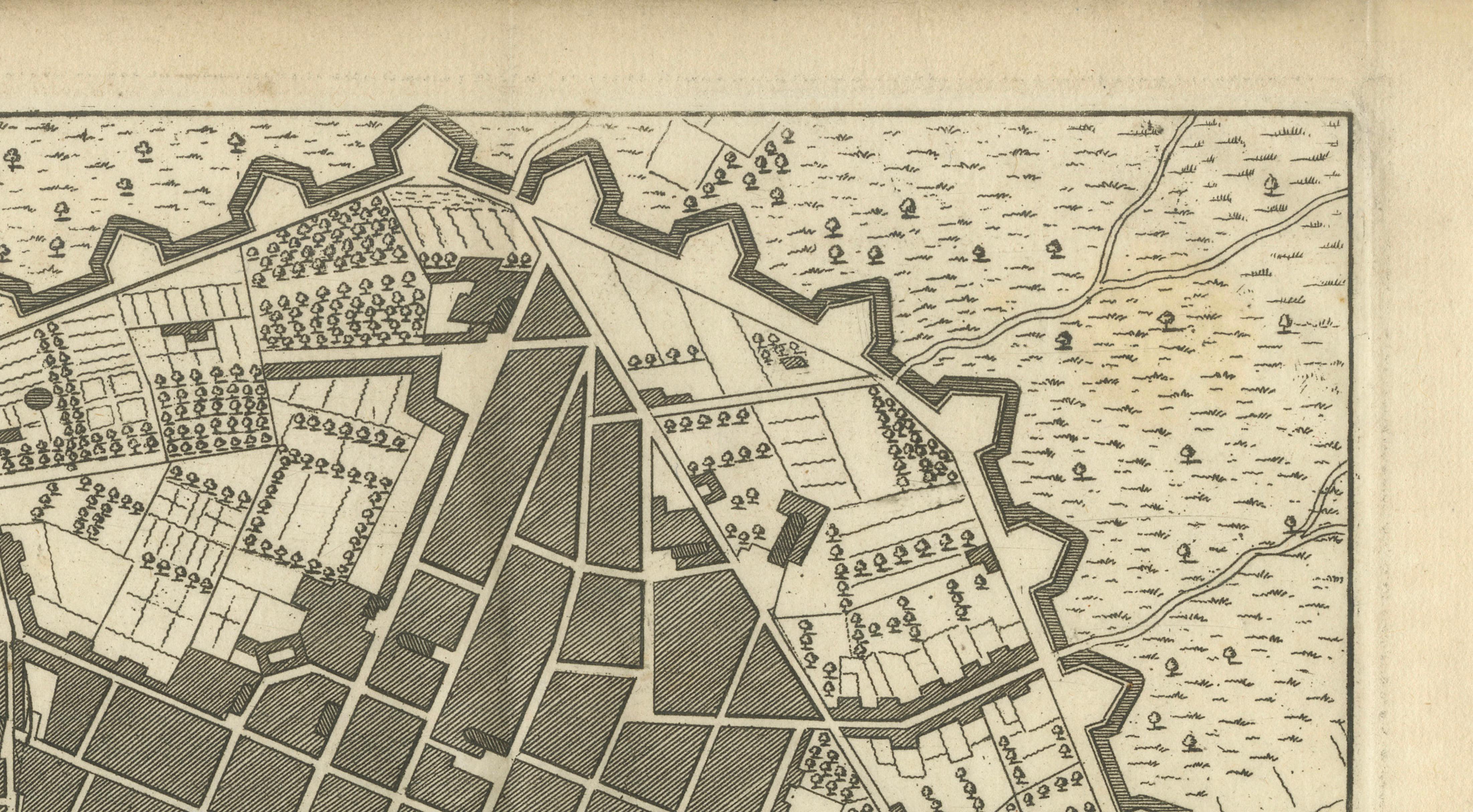
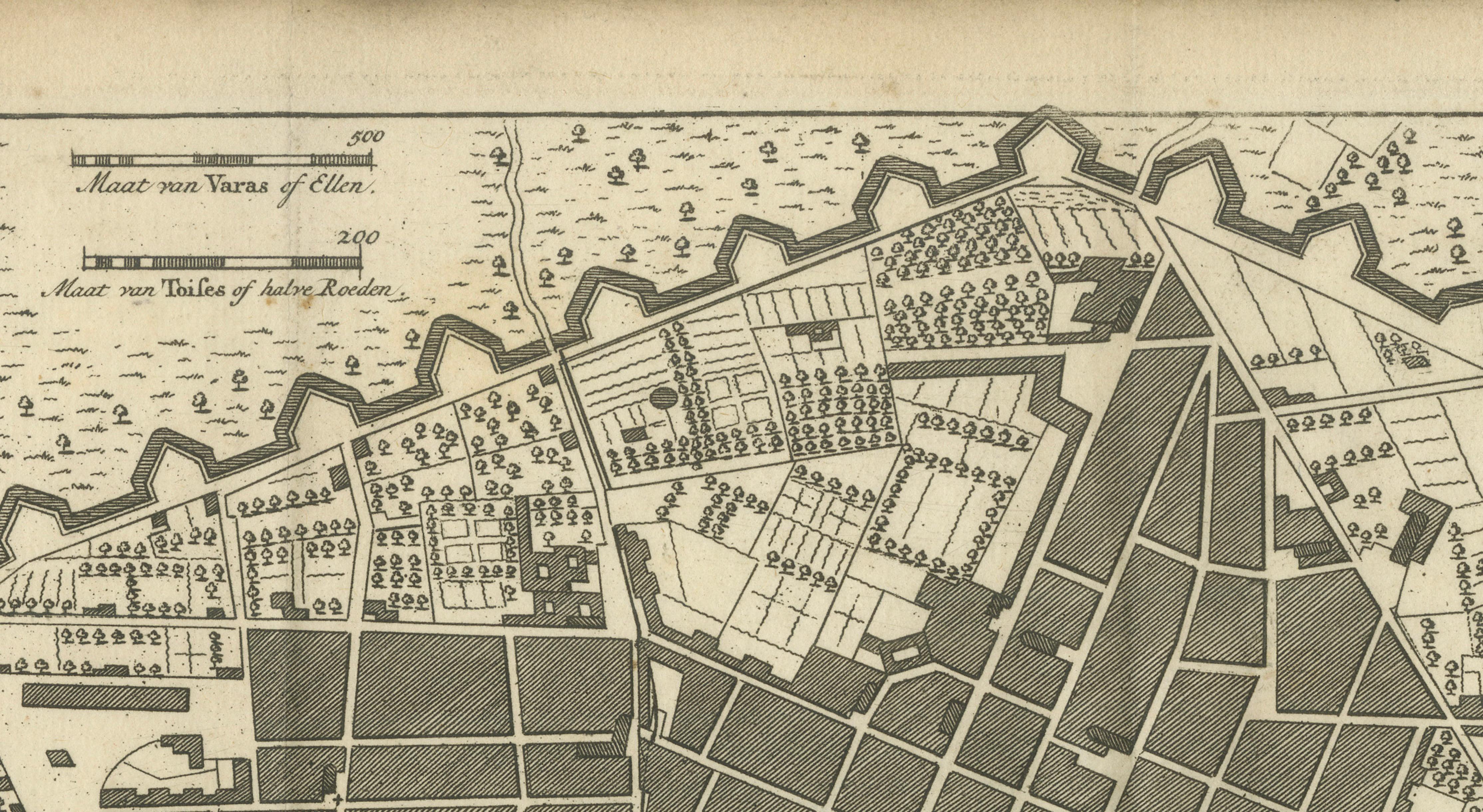
The map is titled “Platte Grond van Lima de Hoofdstad van Peru,” meaning “Plan of Lima, the Capital of Peru.” It presents a detailed view of the historic city, showing its regular street plan, fortified walls, gates, gardens, religious buildings and principal public structures.
The Rímac River is shown flowing alongside the city, with the settlement on the opposite bank connected to Lima by a bridge. A numbered key in the upper left identifies several important landmarks.
The extensive defensive walls surrounding Lima were constructed between 1684 and 1687. They were intended to protect the wealthy colonial capital against possible attacks by pirates and privateers operating along the Pacific coast of South America.
Isaak Tirion was an important eighteenth-century Amsterdam publisher known for his atlases, city plans and geographical works. His publishing business continued to issue maps after his death in 1765.
This is an original antique map, printed from a copperplate in the eighteenth century. It is not a modern reproduction.
Maker: Isaak Tirion
Title: Platte Grond van Lima de Hoofdstad van Peru
Place of publication: Amsterdam
Date: 1769
Technique: Copperplate engraving with hand colouring
Origin: The Netherlands
Condition:
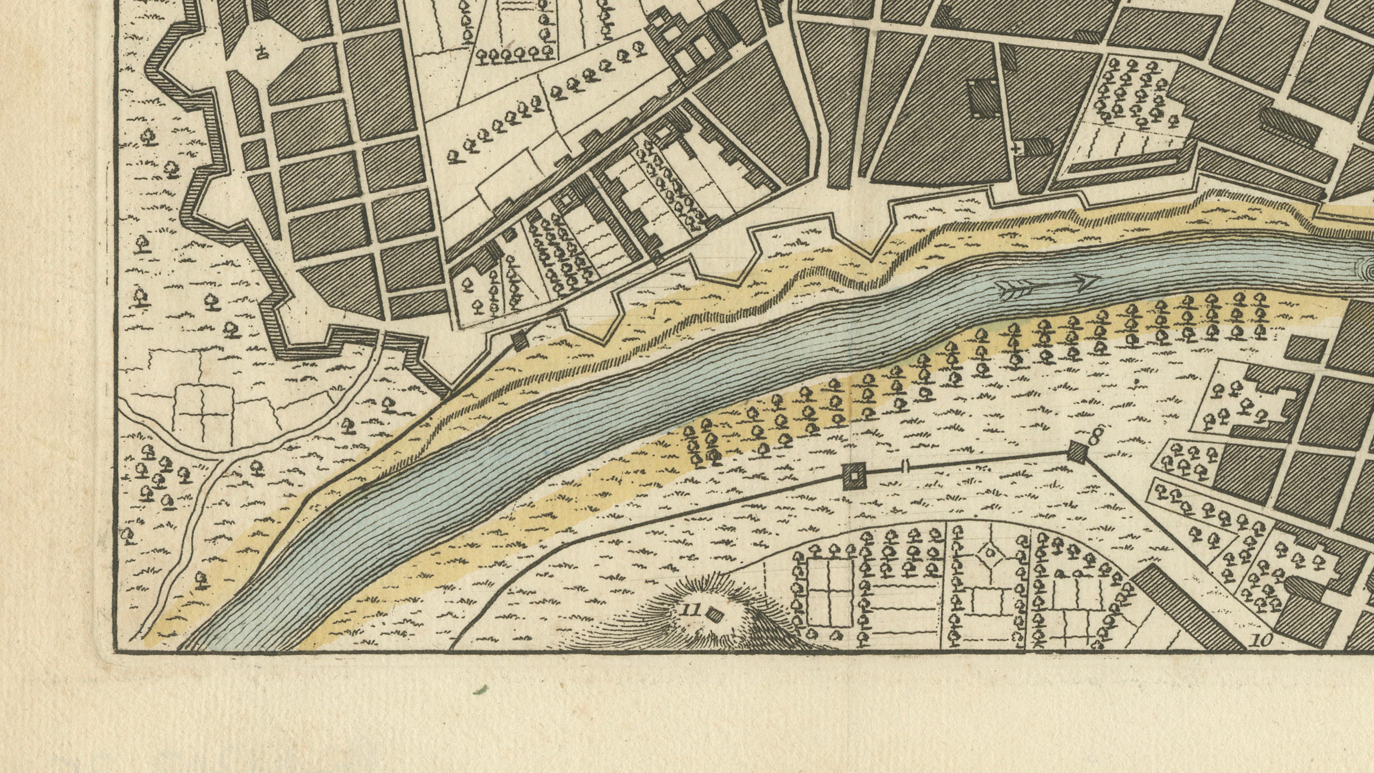
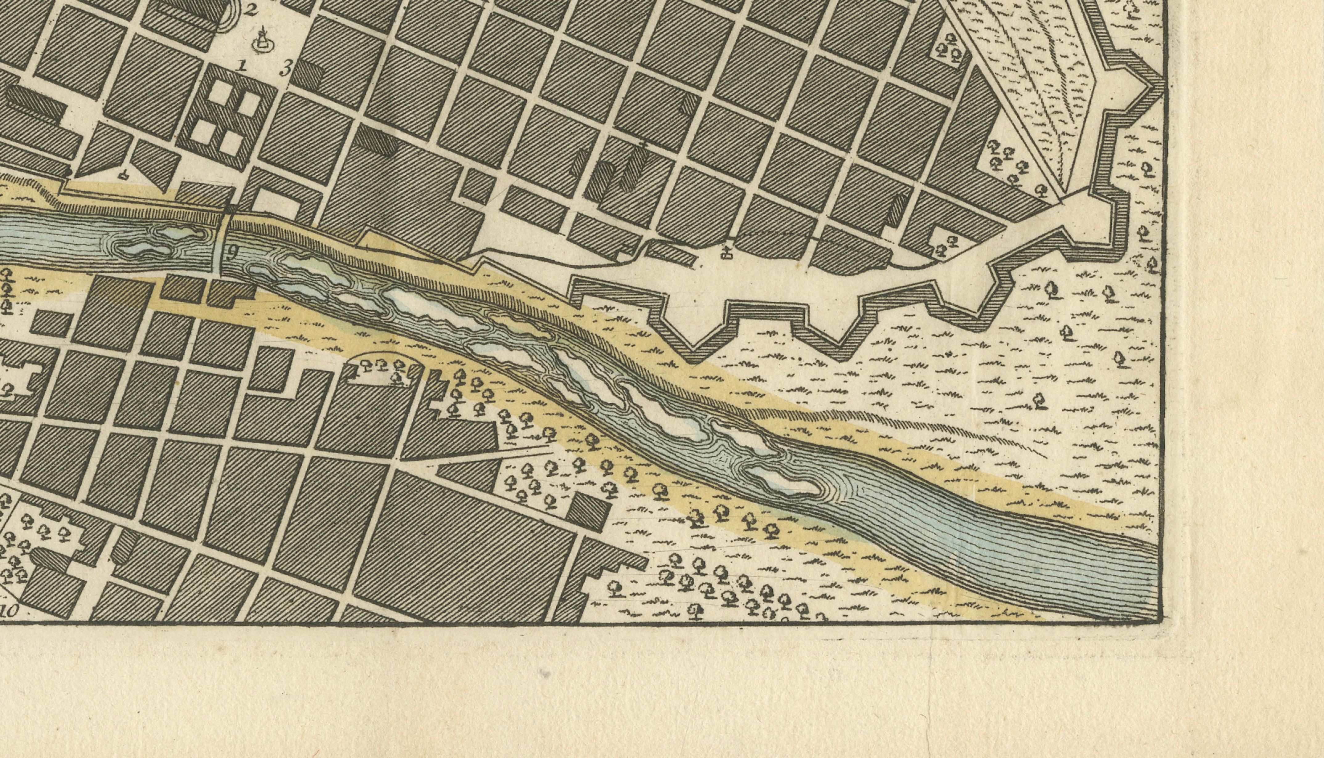
Good condition, considering its age. General age-related toning, minor marks and wear along the sheet edges. Please study the image carefully.
The framed and interior visuals are provided for imagination and presentation purposes only. The original antique map is sold unframed.
Keywords:
Lima, Peru, antique map, original antique map, city plan, town plan, Isaak Tirion, Amsterdam, Dutch cartography, South America, colonial Peru, Spanish Empire, Rímac River, Rimac, Lima fortifications, city walls, pirates, privateers, historic Lima, eighteenth-century map, copperplate engraving, hand-coloured map, colonial city plan, Peruvian history, historical cartography, decorative map, original engraving, 1769.