About this sheet
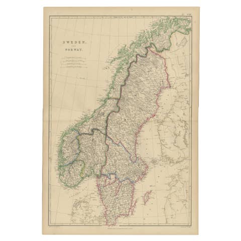
Antique Map of Sweden and Norway, Original Hand-Colored Copper Engraving, 1860
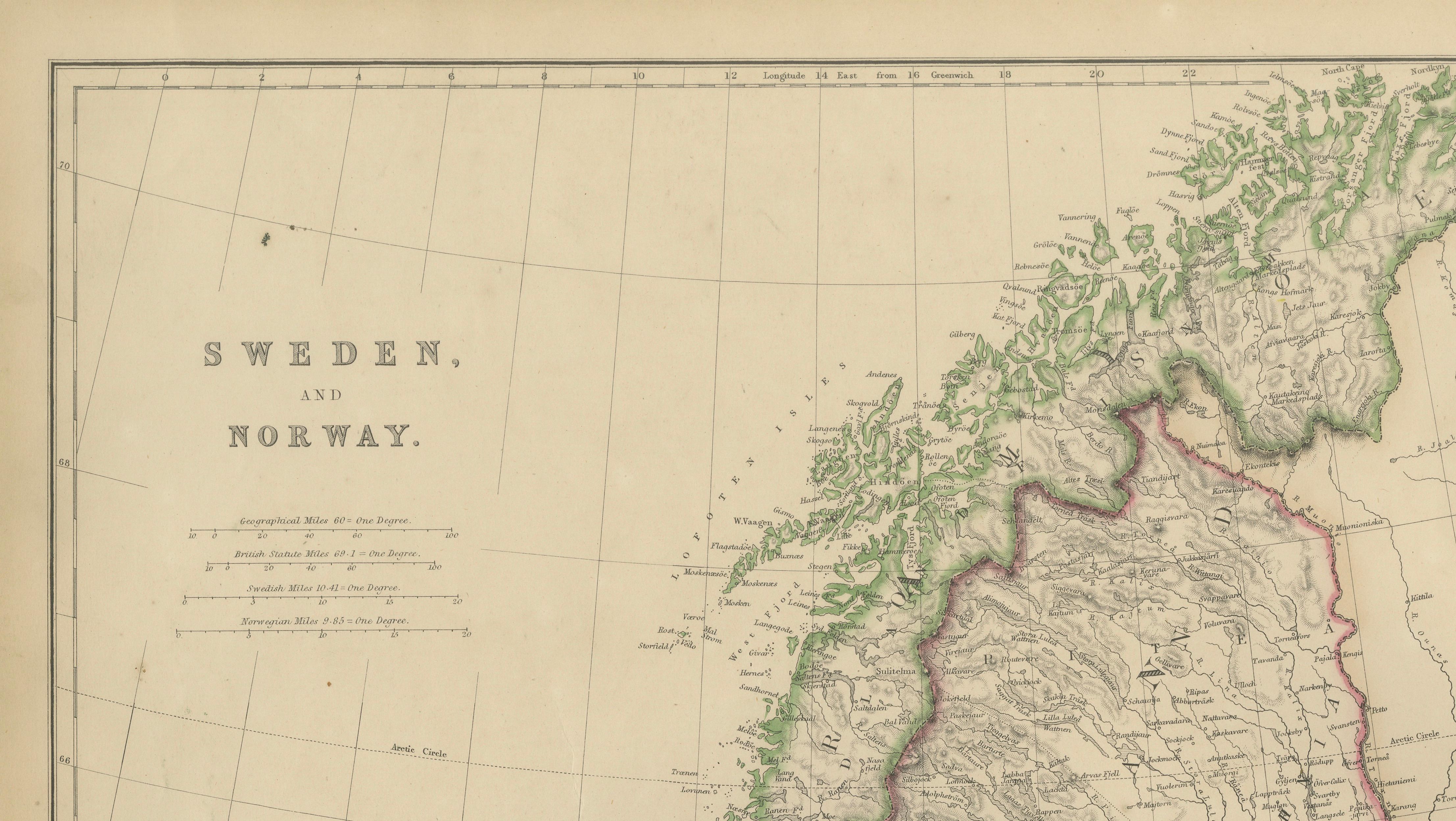
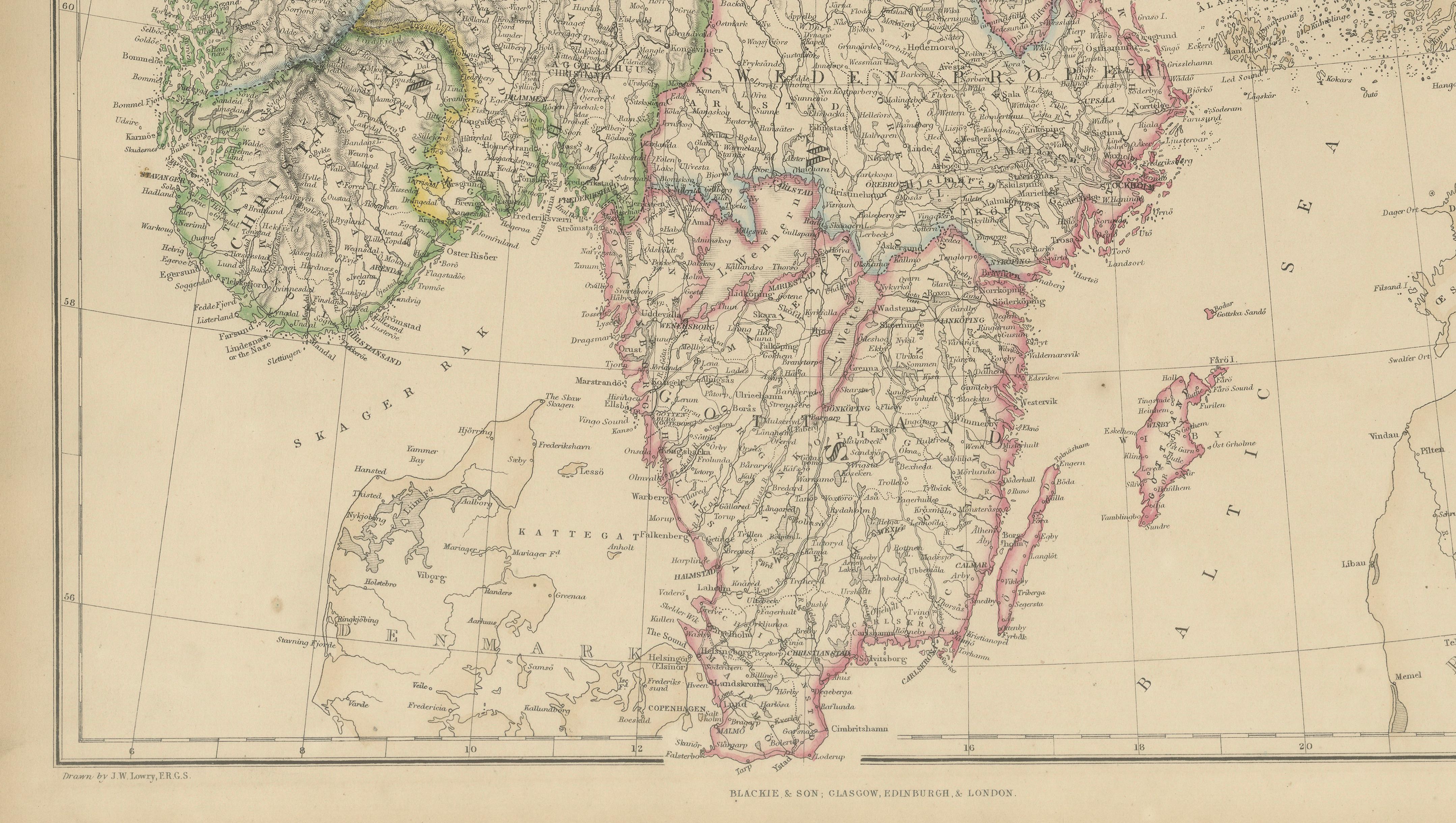
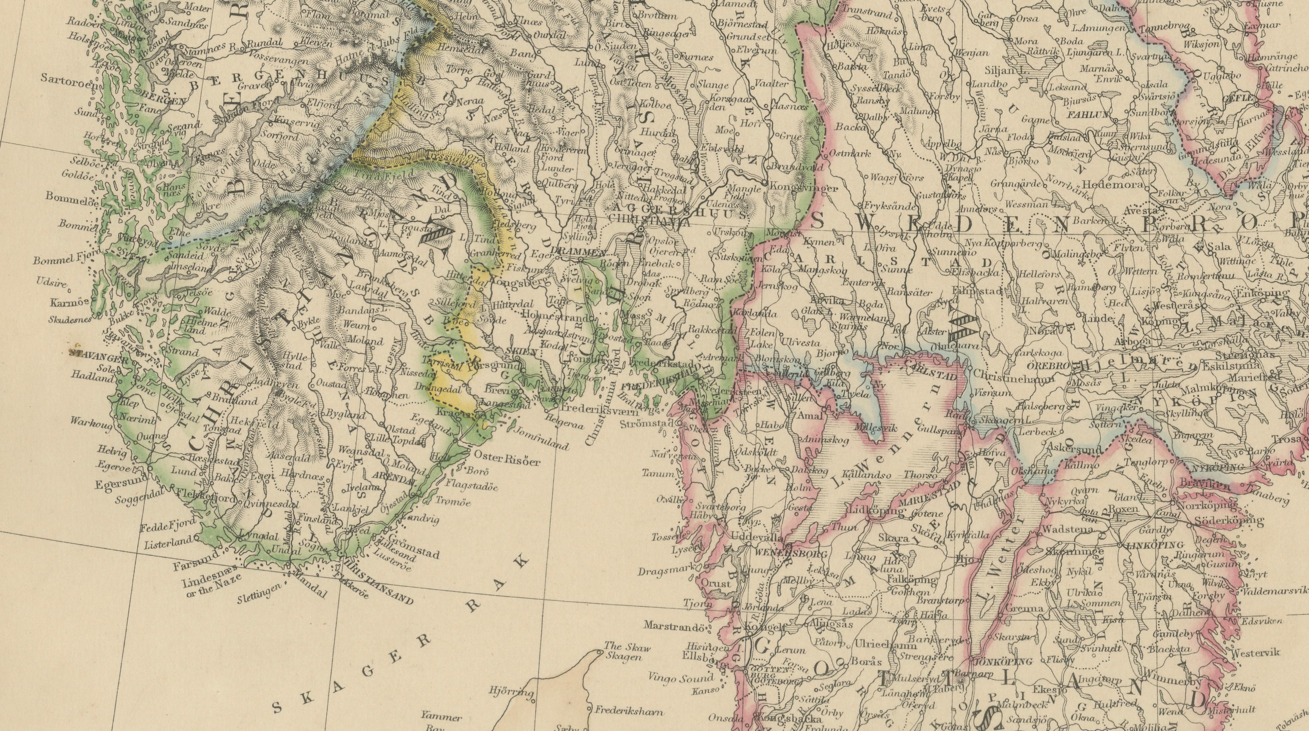
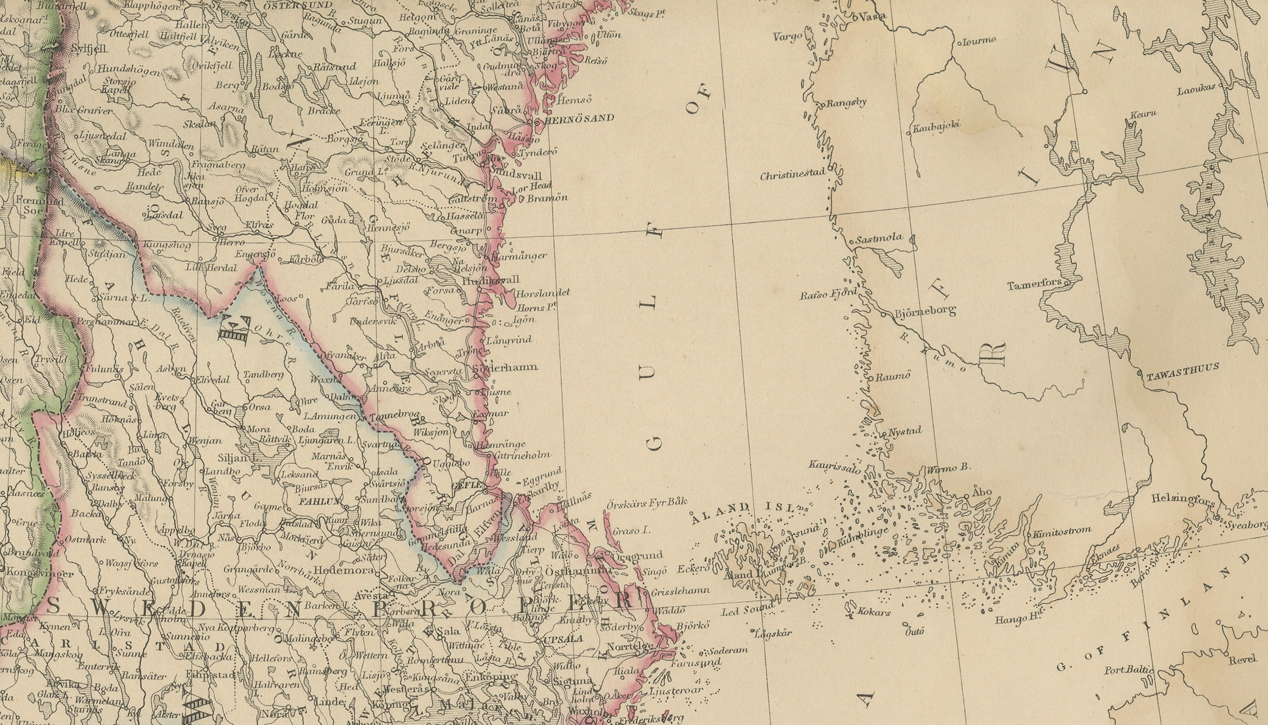
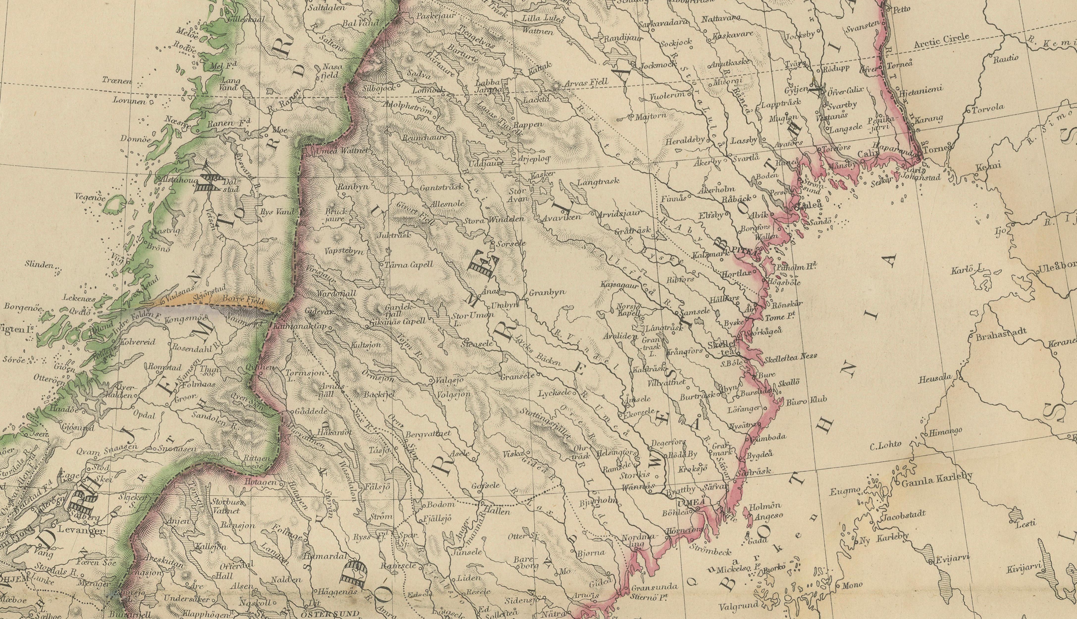
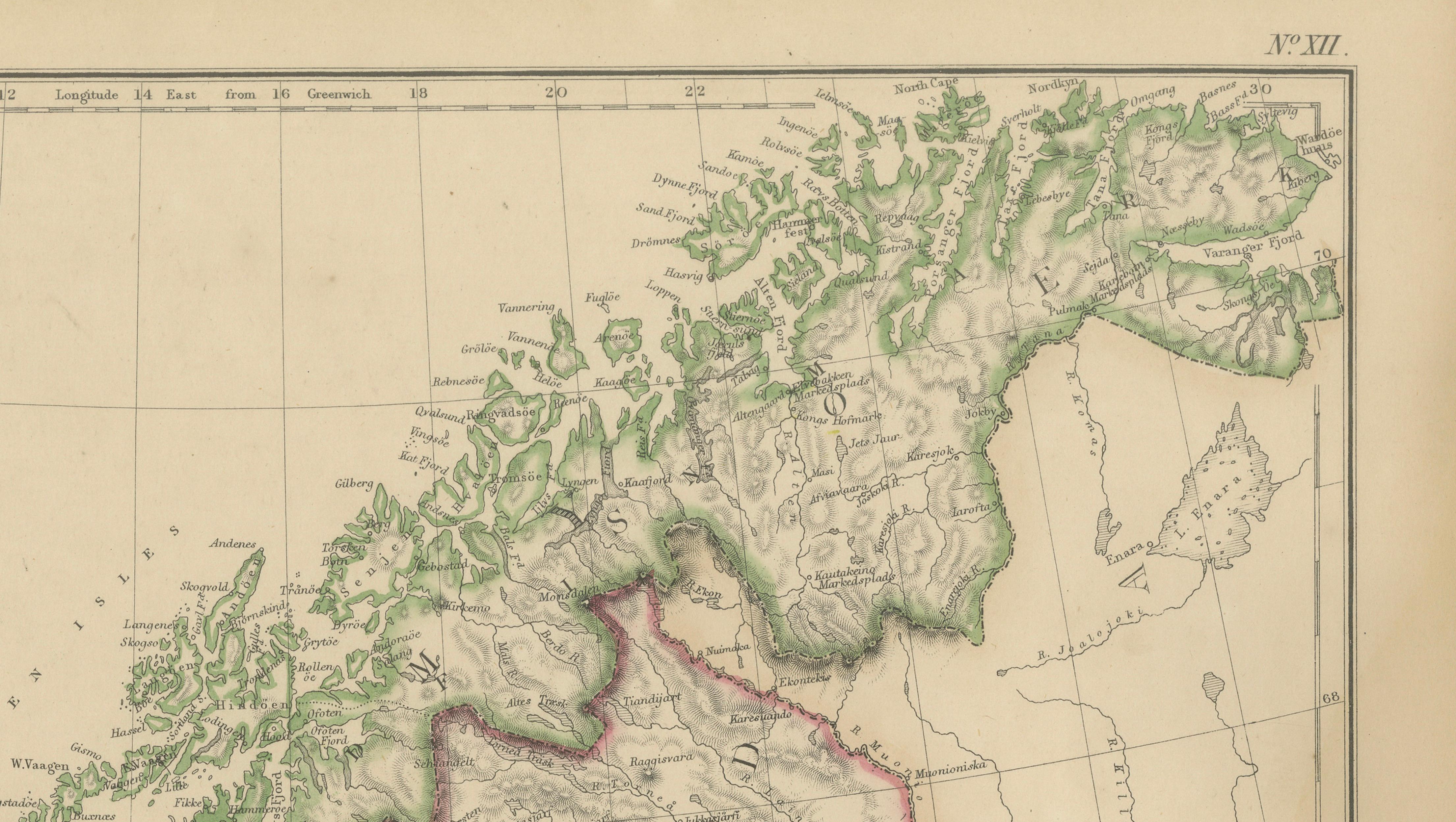
This finely engraved map of Sweden and Norway was published by W. G. Blackie in Scotland around 1860 and reflects the high standards of Victorian cartographic production. Covering the entire Scandinavian Peninsula, the map presents an exceptionally detailed view of the region's geography, coastlines, mountain ranges, rivers, lakes, towns, and administrative boundaries during the mid-19th century.
Norway's dramatic fjord-indented coastline is rendered with remarkable precision, illustrating the country's rugged terrain and maritime character. Sweden is shown with equal care, revealing its extensive inland lakes, forests, river systems, and growing network of settlements. The map also extends into neighboring regions, including parts of Finland, Denmark, and northwestern Russia, providing important geographic context for the Scandinavian peninsula.
Original hand coloring distinguishes the various administrative regions, while delicate engraving conveys the complex topography of mountains, valleys, waterways, and coastal features. The balance between scientific accuracy and visual elegance exemplifies the best traditions of 19th-century British atlas cartography. Such maps were intended not only as practical geographic references but also as educational works that reflected Europe's growing interest in exploration, transportation, and international trade.
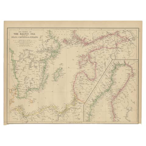
Particularly noteworthy are the detailed depictions of the Gulf of Bothnia, Lapland, the Arctic regions of northern Norway, and the extensive island systems along both Scandinavian coasts. The map captures Scandinavia at a time of significant political and economic development, before the major transformations brought by the twentieth century.
Today, original Scandinavian maps from the Victorian era are highly sought after by collectors of Nordic history, genealogy, maritime heritage, and antique cartography. This example offers both historical significance and decorative appeal, making it an attractive addition to a collection, library, study, or Scandinavian-inspired interior.
Condition report: Good antique condition with age-related toning and minor spotting consistent with a mid-19th-century map. Original hand color remains attractive. Please study the images carefully.
Framing tips: This map displays beautifully in a dark walnut, ebonized, or museum-black frame with a wide warm ivory mat. A thin gilt liner can further enhance the original hand coloring while maintaining a classic cartographic appearance.
Technique: Copper engraving with original hand coloring
Maker: W. G. Blackie, Scotland, 1860
This is an original 19th-century copperplate engraving, printed at the time. It is not a modern reproduction. Any images showing the print framed are for presentation purposes only. The map is supplied unframed.
Keywords: Sweden, Norway, Scandinavia, Scandinavian Peninsula, Stockholm, Göteborg, Gothenburg, Malmö, Uppsala, Karlskrona, Norrköping, Linköping, Västerås, Örebro, Gävle, Sundsvall, Umeå, Luleå, Lapland, Norrland, Dalarna, Värmland, Småland, Skåne, Bohuslän, Halland, Blekinge, Jämtland, Härjedalen, Vänern, Vättern, Mälaren, Gulf of Bothnia, Baltic Sea, Kattegat, Skagerrak, Norway, Christiania, Oslo, Bergen, Trondheim, Stavanger, Kristiansand, Tromsø, Hammerfest, Nordland, Finnmark, Lofoten Islands, Arctic Circle, Lapland, Sognefjord, Hardangerfjord, Trondheim Fjord, Scandinavian Mountains, Finland, Gulf of Finland, Denmark, Jutland, Copenhagen, Russia, St. Petersburg, Nordic Countries, Northern Europe, Antique Map, Scandinavian History, Victorian Cartography, Hand-Colored Map, Copperplate Engraving.