About this sheet
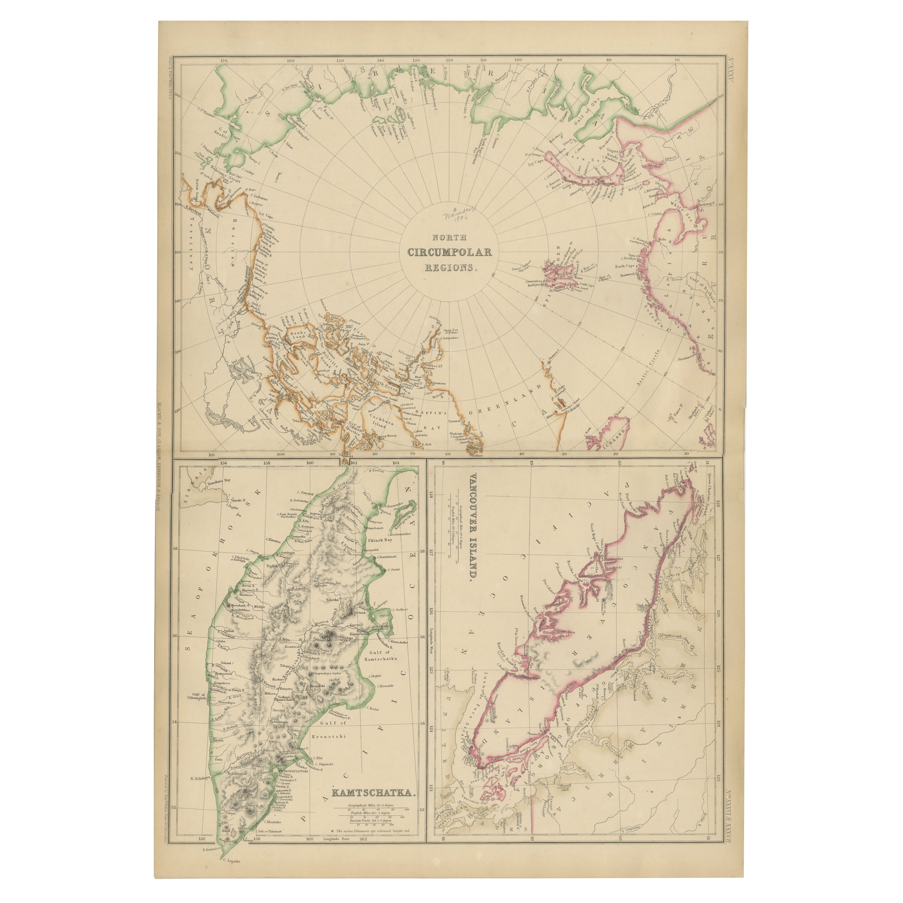
North Circumpolar Regions with Kamtschatka and Vancouver Island, 1860
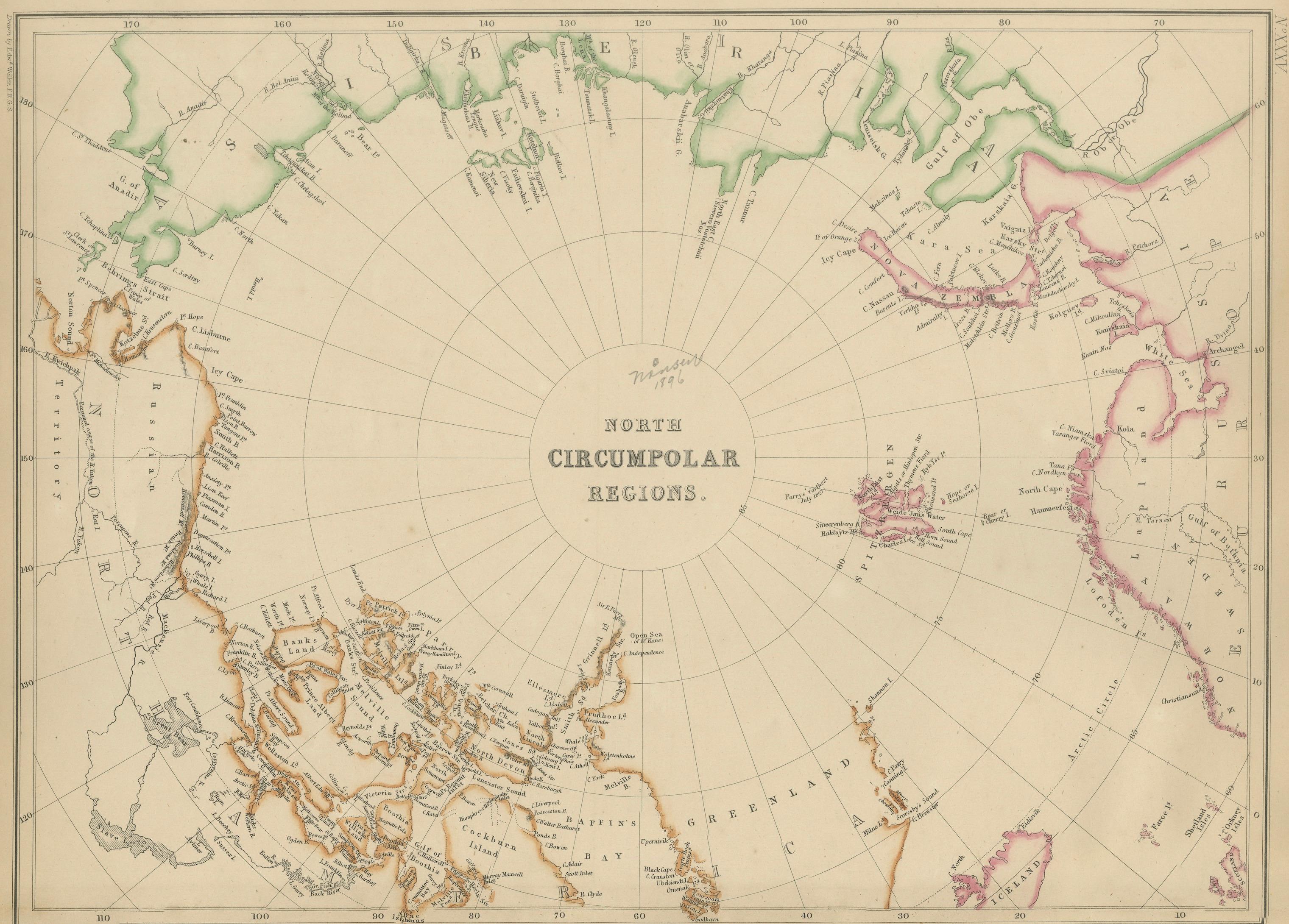
This original antique map titled North Circumpolar Regions presents a striking mid-19th-century British view of the Arctic world, centered on the North Pole and surrounded by the northernmost coasts of Europe, Asia, and North America. The map originates from The Imperial Atlas of Modern Geography and was published in 1860 by W. G. Blackie, one of the leading British atlas publishers of the Victorian era.
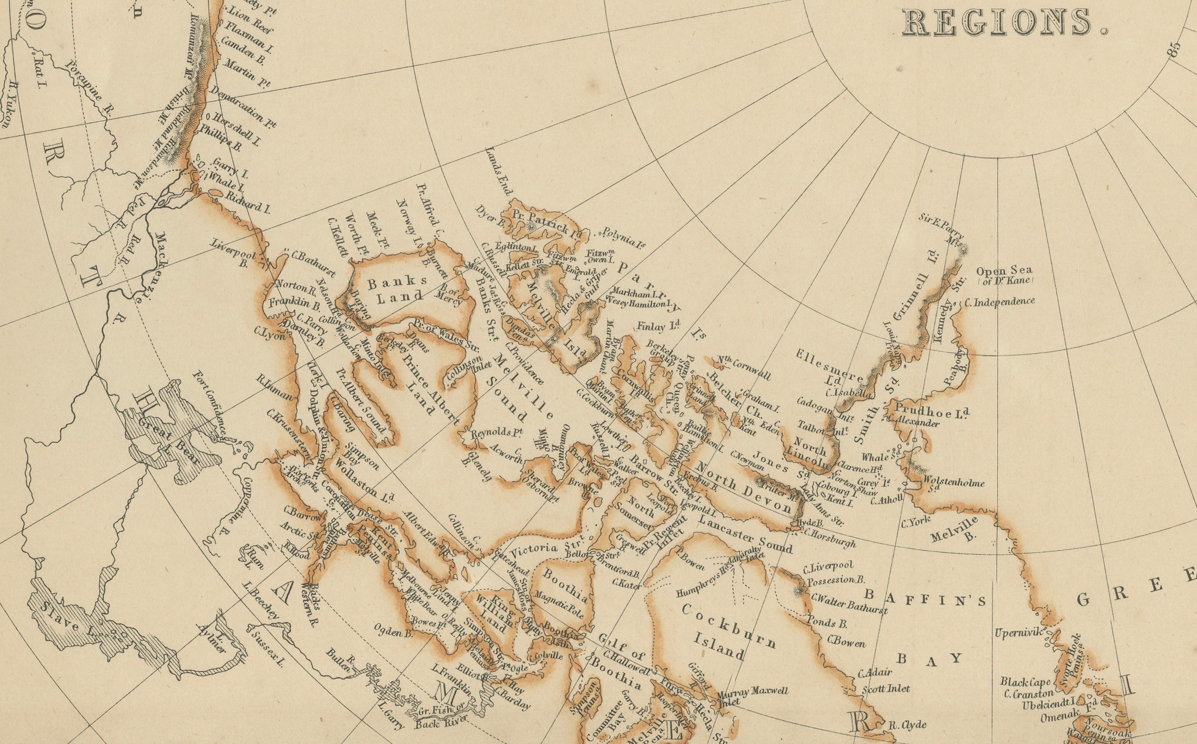
The main circular projection focuses on the Arctic Ocean and the lands bordering it, including Greenland, Arctic Canada, Siberia, and northern Scandinavia. Coastlines are carefully engraved and subtly hand-colored to distinguish territorial claims and regions, reflecting contemporary European understanding of polar geography at a time when Arctic exploration was accelerating. Many coastal outlines, islands, and straits shown here relate directly to the era’s great expeditions in search of the Northwest Passage.
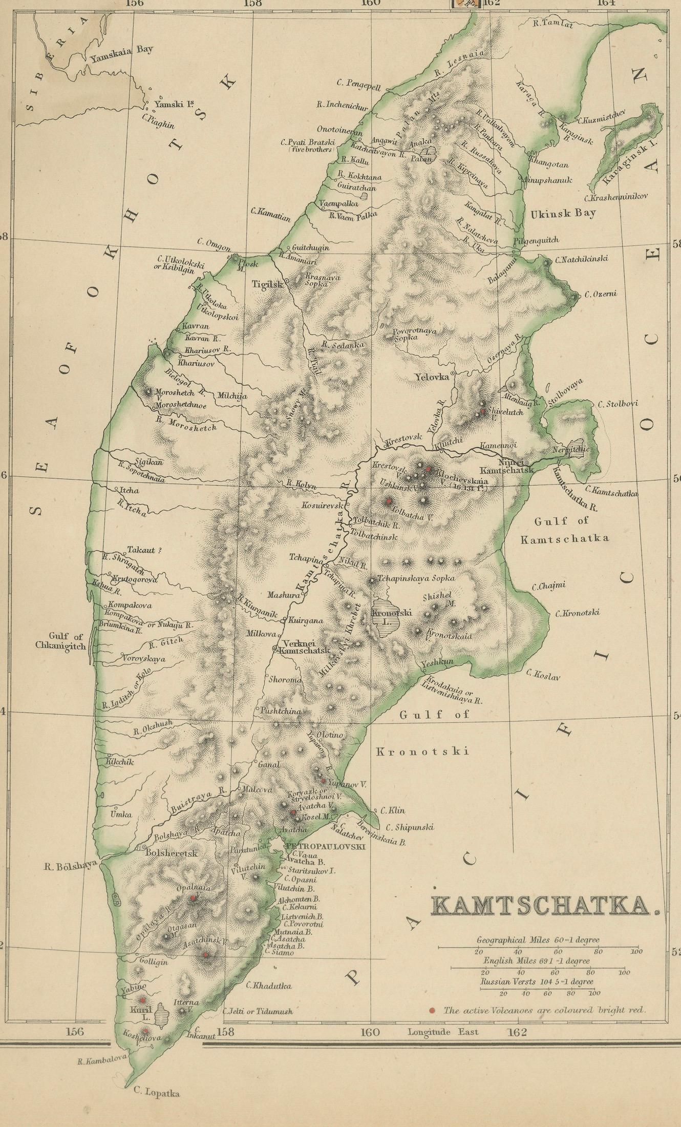
Below the main map are two detailed inset maps: one of Kamtschatka (Kamchatka Peninsula) in eastern Siberia, showing its dramatic volcanic terrain and rugged coastline, and another of Vancouver Island on the Pacific coast of North America, an area of growing strategic and colonial importance in the mid-19th century. These insets reinforce the global scope of the atlas and Britain’s interest in northern maritime routes and frontier regions.
Meridians radiate from the pole, giving the composition a strong scientific and graphic clarity. The combination of a polar projection with regional insets makes this map both intellectually engaging and visually distinctive. Its refined engraving, balanced layout, and original hand coloring give it strong decorative appeal alongside its historical significance.
This map is especially desirable for collectors of Arctic exploration, polar cartography, and 19th-century scientific mapping, as well as for interior designers seeking a large, conversation-starting wall map with a sense of discovery and intellectual ambition.
Condition report:
Good antique condition. Light overall age toning consistent with age. Minor scattered foxing and light handling marks, mostly in the margins. Original fold as issued. No major tears or losses.
Framing tips:
A wide ivory or light parchment mat will emphasize the circular polar projection. A dark walnut, black, or understated antique gilt frame complements the map’s exploratory and scientific character. UV-protective or museum glass is recommended.
Technique: Copper engraving with original hand coloring
Maker: W. G. Blackie, Scotland, 1860
Keywords:
North Circumpolar map, Arctic map, North Pole map, polar projection, Arctic Ocean, Greenland map, Arctic Canada, Canadian Arctic, Siberia Arctic, Lapland, Scandinavia Arctic, Northwest Passage, Arctic exploration, Victorian exploration, 19th century Arctic, Kamtschatka map, Kamchatka Peninsula, Siberia Far East, volcanic Kamchatka, Pacific Rim, Vancouver Island map, British Columbia coast, Pacific Northwest, Russian America context, Alaska region, Bering Sea, Bering Strait, polar regions map, scientific cartography, imperial geography, British Empire maps, exploration era map, hand colored map, copper engraved map, Blackie atlas, Imperial Atlas, Victorian atlas, historical geography, maritime routes, polar navigation, antique wall map, collector map, interior design art, educational atlas, discovery era, 1860 map