About this sheet
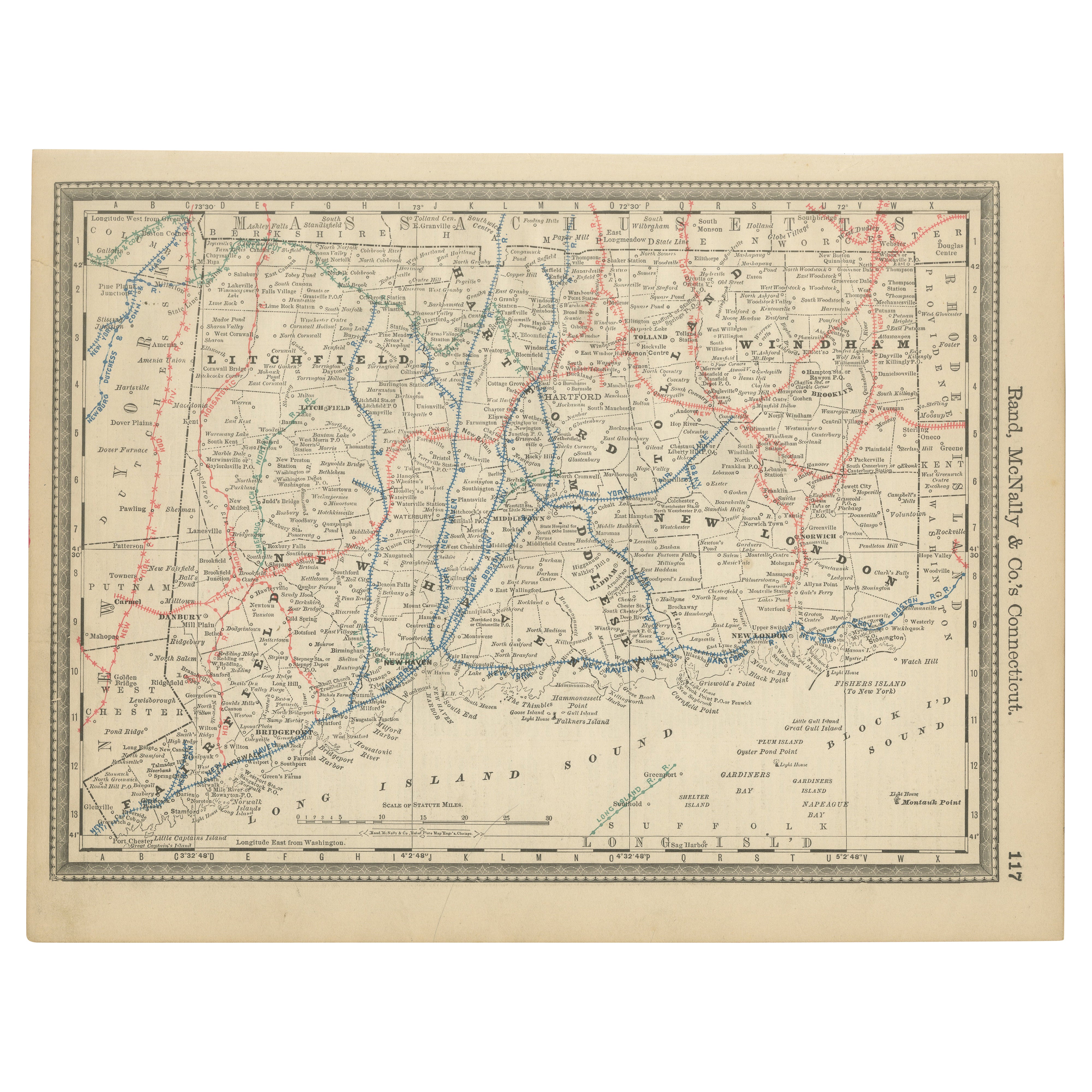
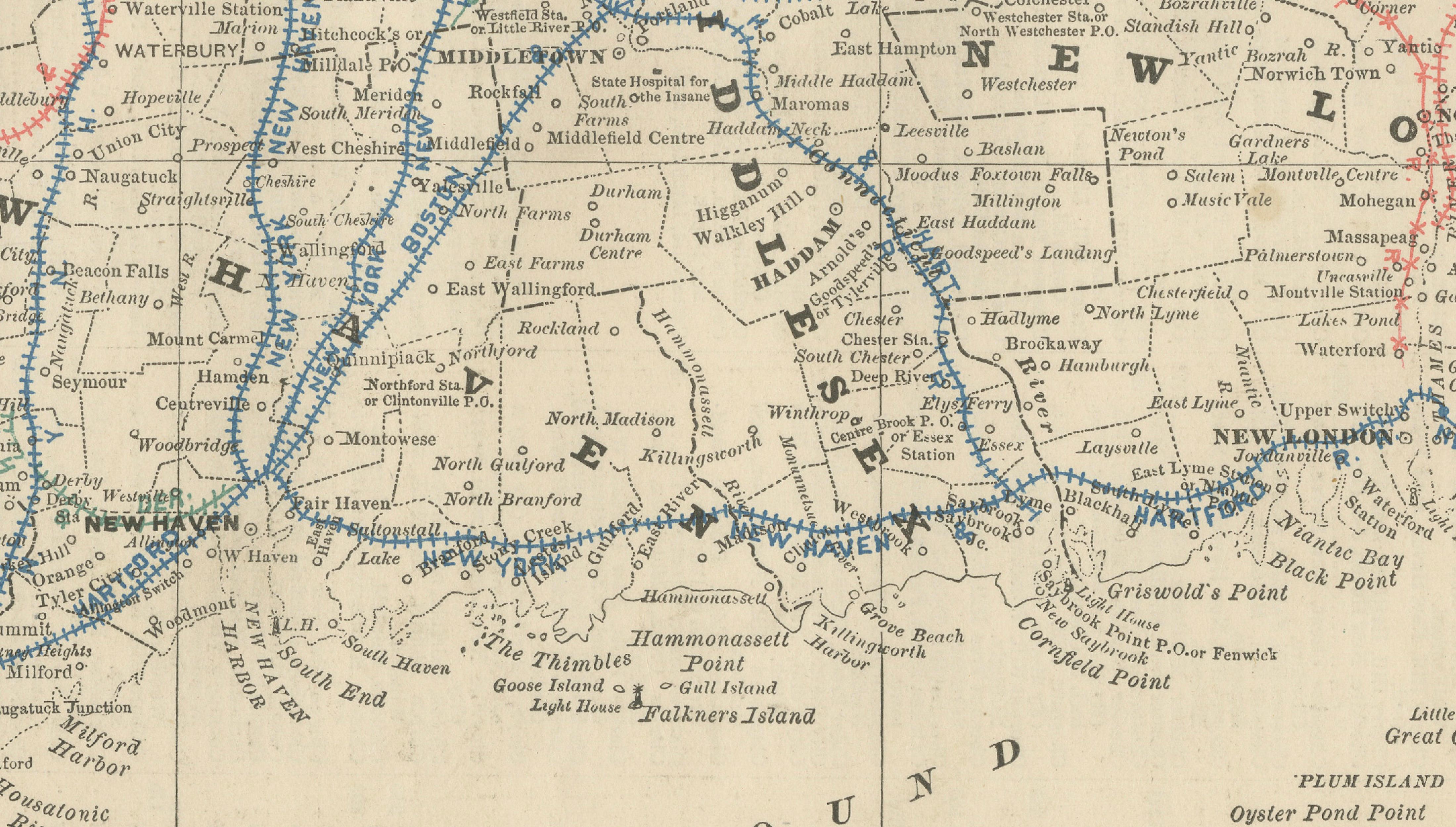
Antique Connecticut Map Wall Art – Railroads, Towns & Long Island Sound, Rand McNally
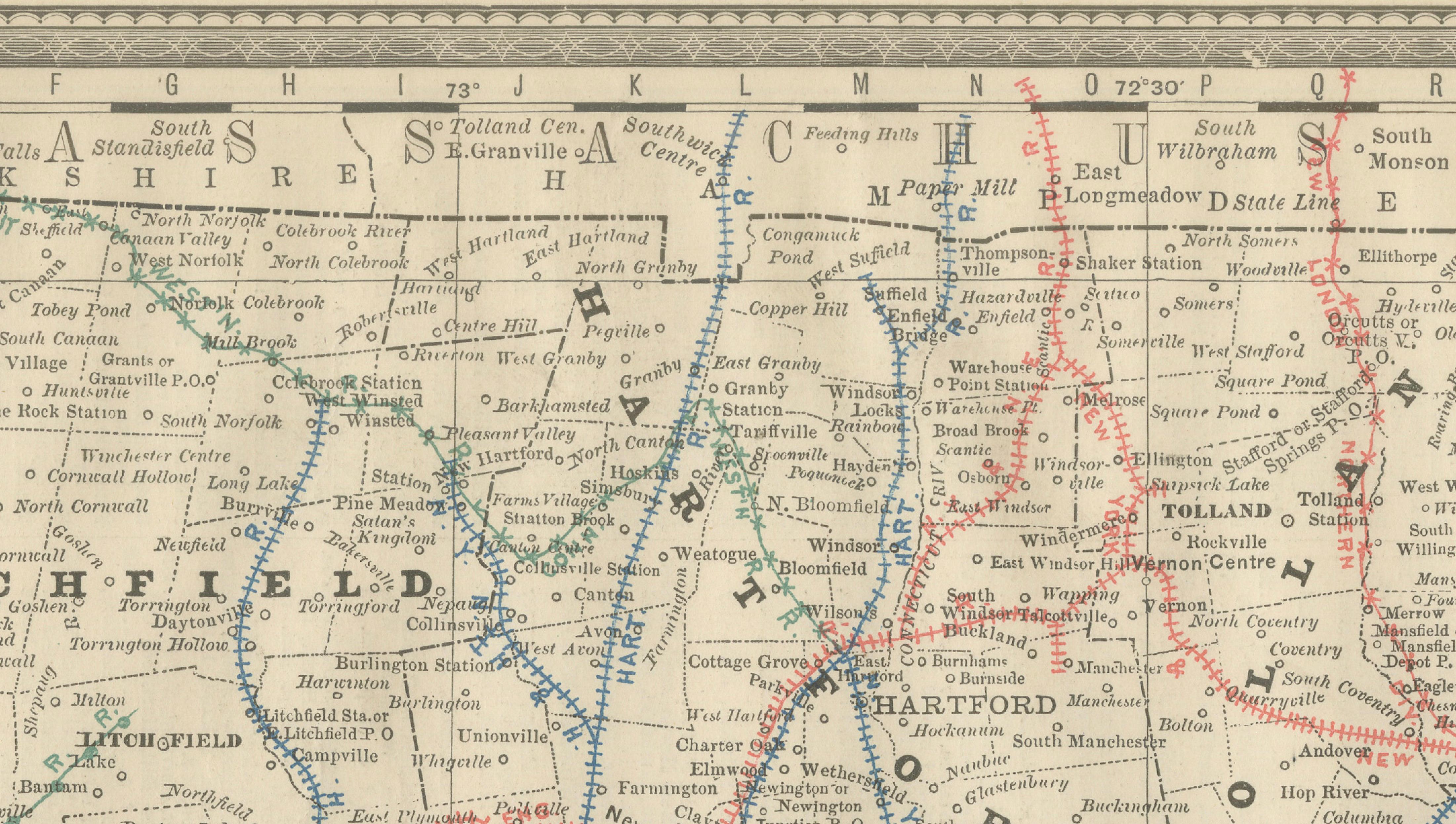
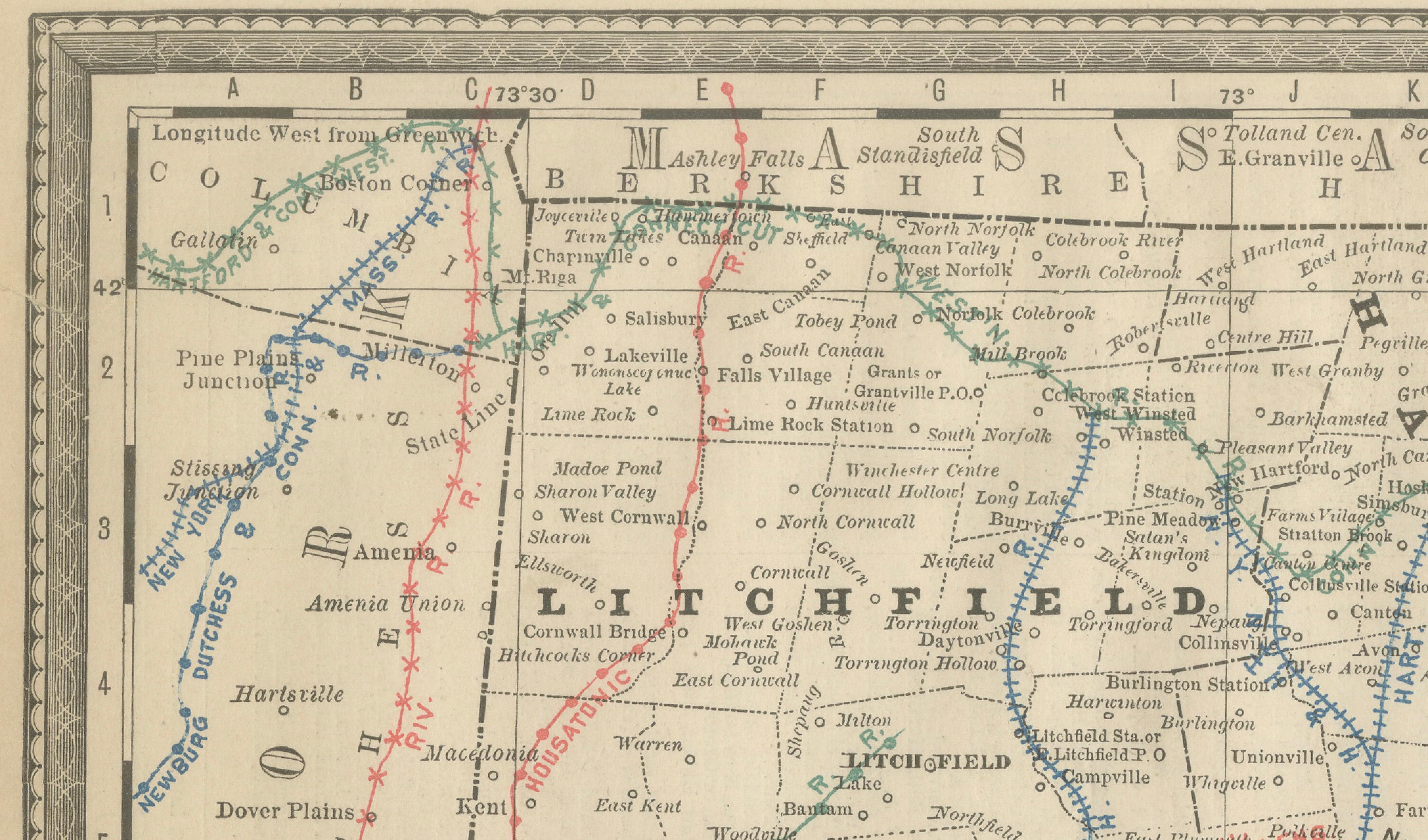
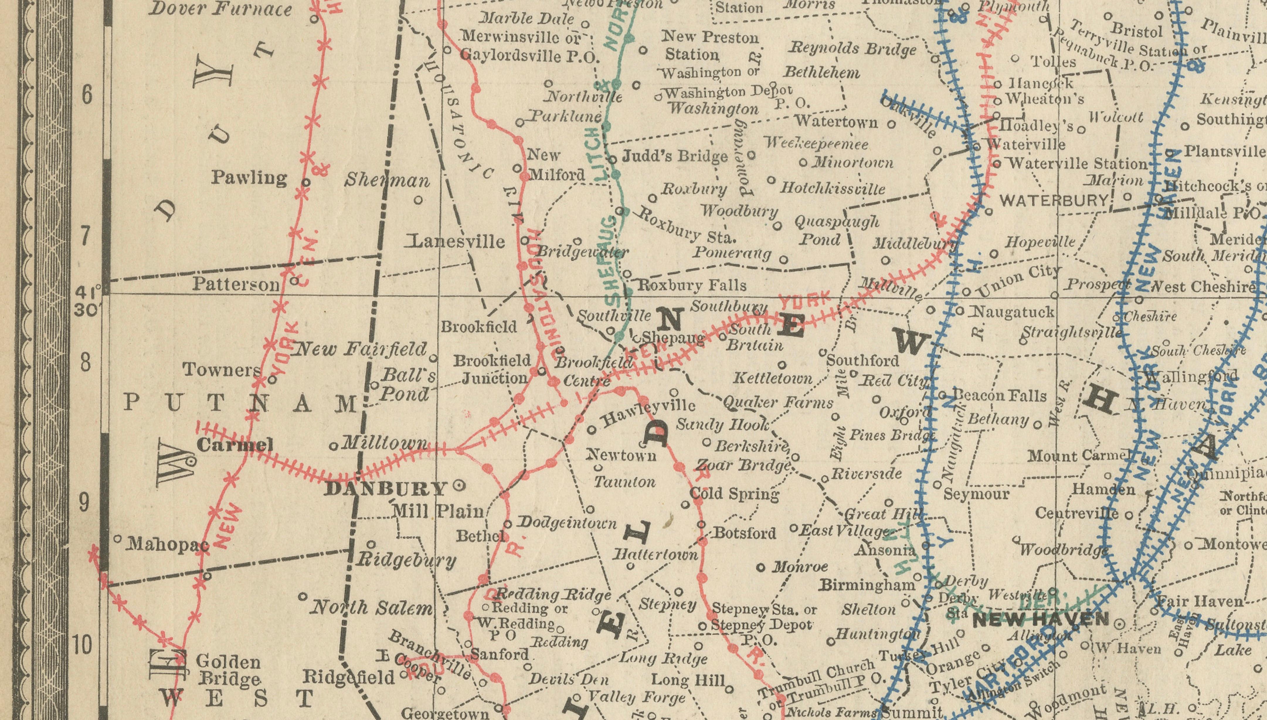
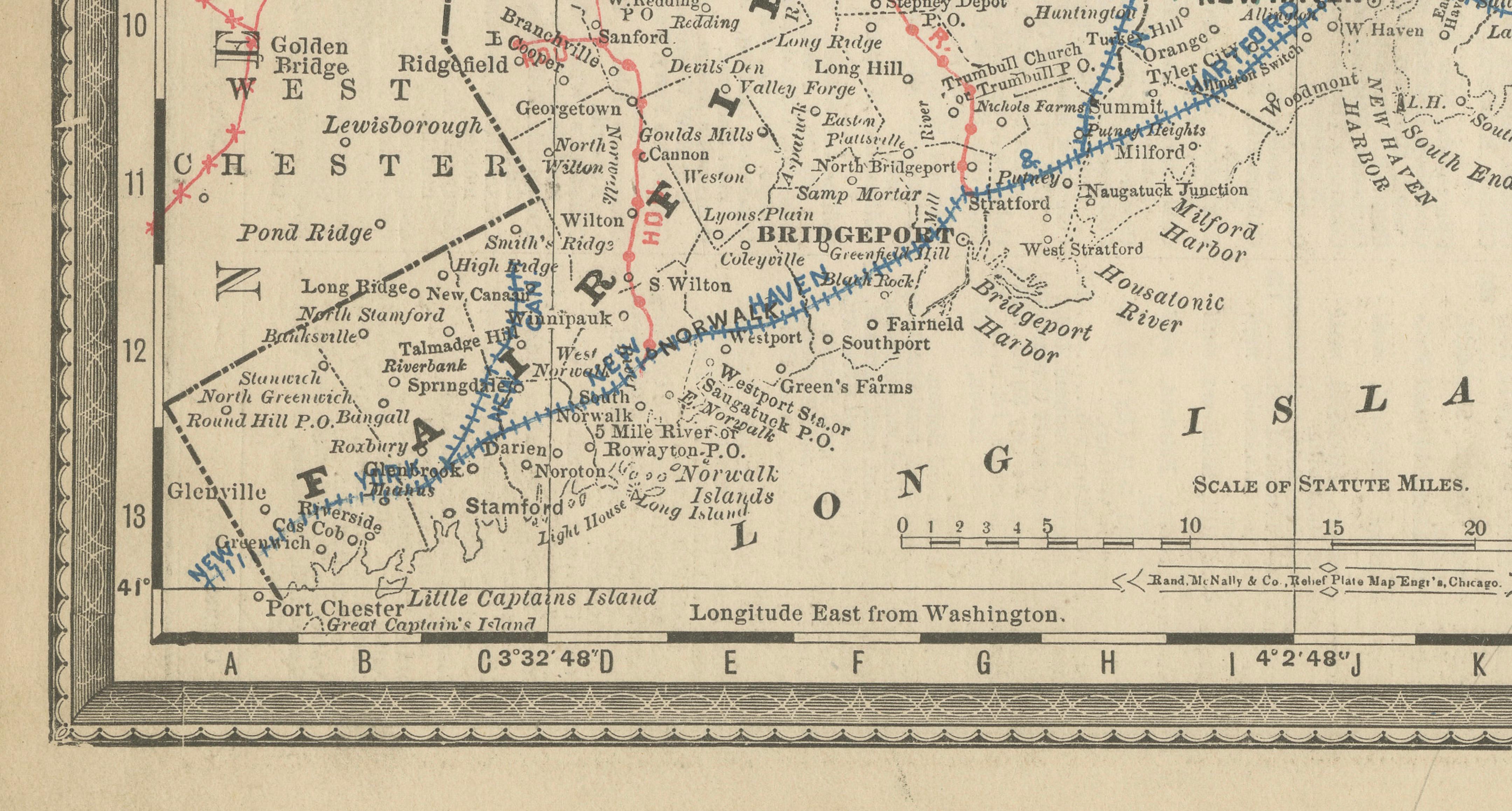
This original antique atlas map depicts the state of Connecticut in detailed and visually engaging fashion, showing towns, rivers, railroads, and county boundaries across the state, with Long Island Sound forming the southern edge. The dense yet orderly network of rail lines gives the map a strong graphic rhythm that reads beautifully as wall art.
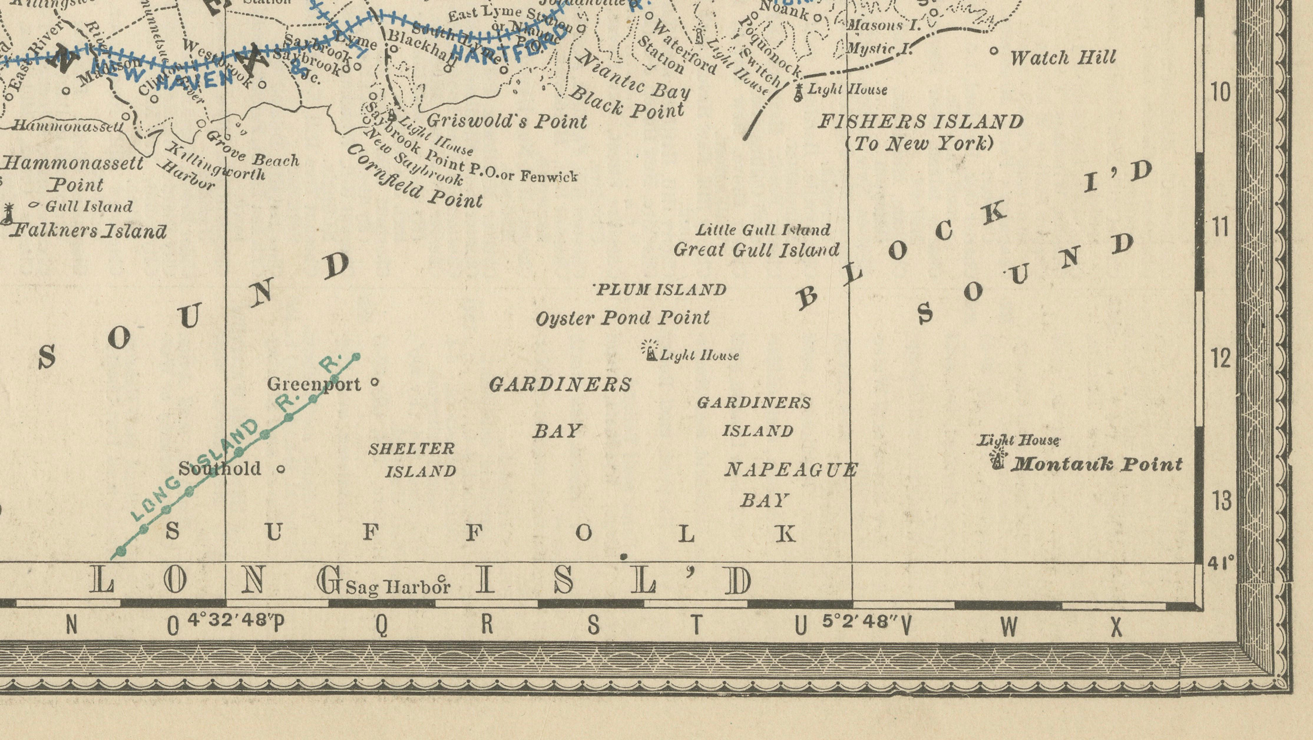
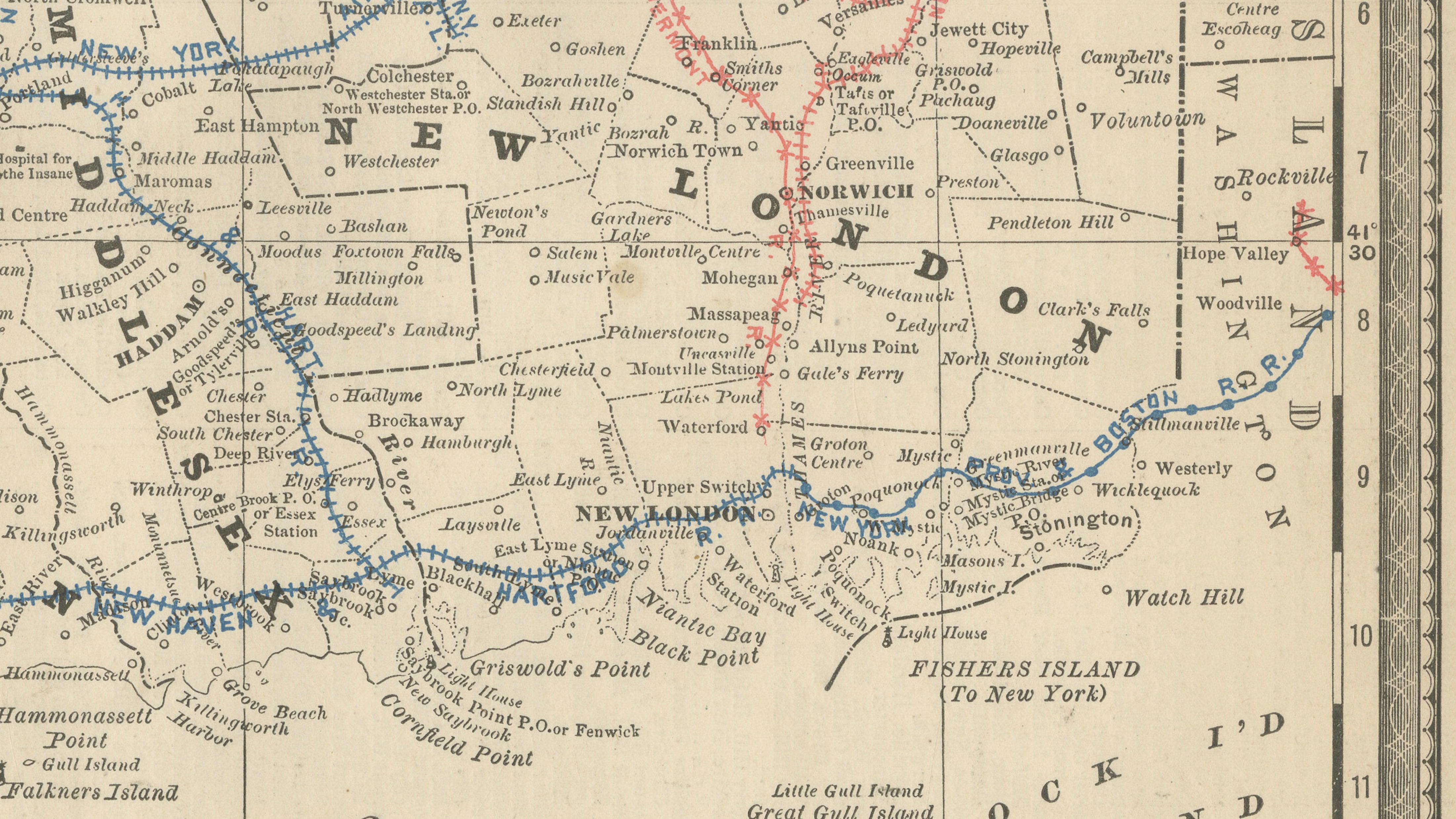
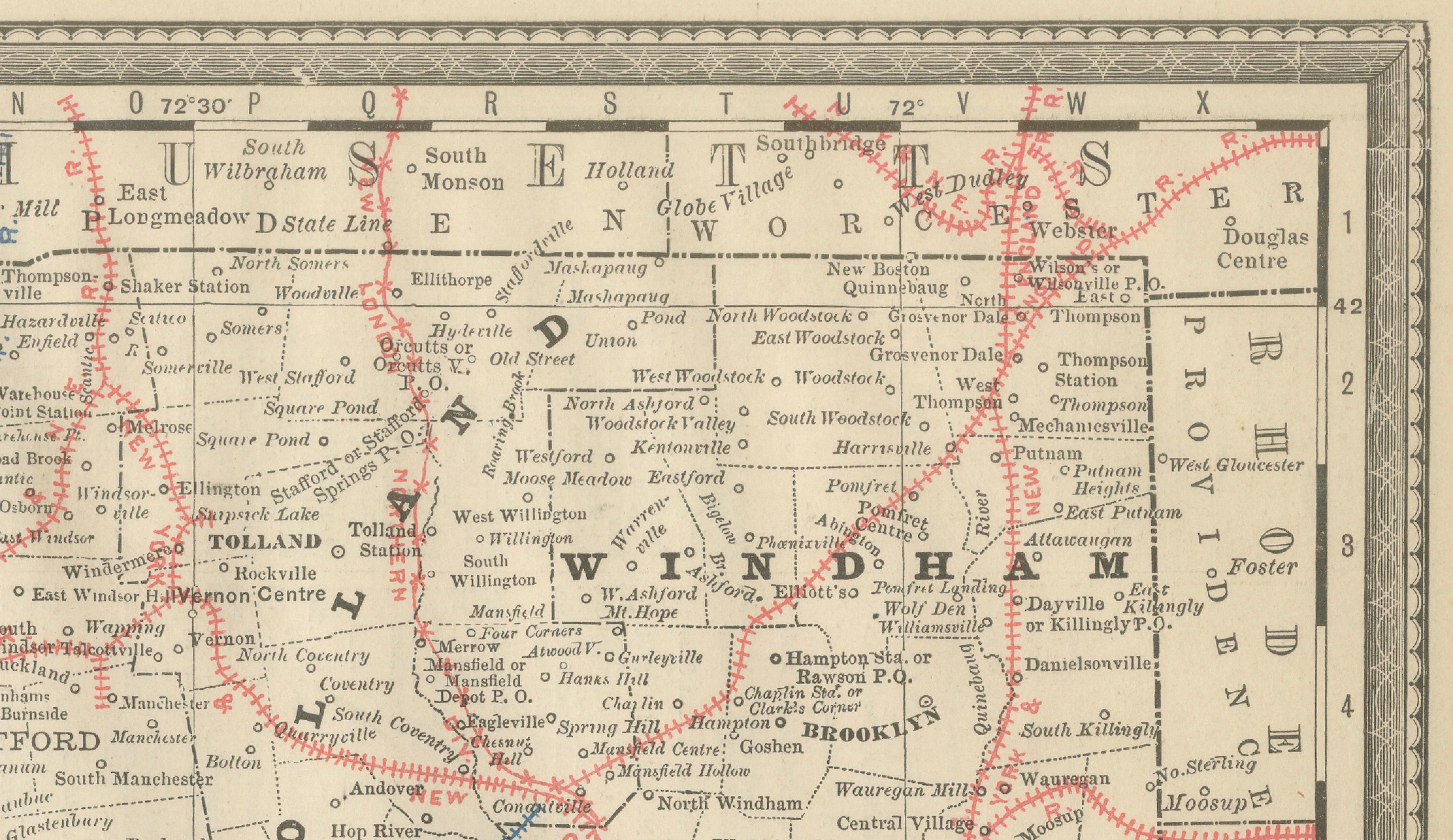
Published by Rand, McNally & Co. in the late 19th century, the map captures Connecticut at a moment when rail infrastructure tightly connected industrial towns, ports, and inland communities. Cities and towns such as Hartford, New Haven, Bridgeport, Stamford, Waterbury, New Britain, Norwich, and Danbury are clearly shown, alongside coastal landmarks and ferry connections across Long Island Sound.
The combination of fine relief engraving, crisp typography, and restrained color accents results in a composition that is both informative and decorative. Despite the density of information, the map maintains a balanced and elegant appearance, making it appealing to collectors and interior designers alike.
Printed on original period atlas paper, the sheet retains the authentic texture and gentle patina expected of a genuine 19th-century map. Its horizontal format makes it particularly effective for offices, studies, libraries, or coastal and regional interiors.
Condition report: Light age toning consistent with age. Minor edge wear and small handling marks from original atlas binding. Overall clean and well preserved.
Framing tips: Especially effective in walnut, light oak, or black frames with an ivory or warm off-white mat. Museum glass recommended.
Technique: Color lithograph
Maker: Rand, McNally & Co., United States, late 19th century
Keywords:
antique connecticut map, connecticut wall art, rand mcnally map, long island sound map, hartford map, new haven map, bridgeport map, stamford map, railroad map connecticut, antique atlas map, historical connecticut map, new england wall decor