Antique Rhode Island Map Wall Art – Providence & Newport, Rand McNally, ca.1888
€ 230
Original antique · The actual sheet photographed · Certificate of authenticity on request · Sold unframed · Worldwide shipping from € 15 (rates)
Date
1888
Mapmaker / artist
Rand, McNally & Co., United States, late 19th century
Technique
Color lithograph
Sheet size
36 × 27 cm (14.2 × 10.6 in)
Condition
Good
Reference
BG-12794-76
What the condition grades mean
Excellent
Bright and clean, with no faults worth mentioning.
Very good
Only light signs of age, such as faint toning.
Good
Normal signs of age for a sheet of this period: toning, some foxing, small marks or neat old repairs.
Fair
Clear faults such as staining, tears or repairs, priced to match.
Every fault we see is written in the condition note, and the whole sheet is shown uncropped in the photos.
Condition
Light age toning overall. Minor edge wear and small handling marks consistent with original atlas binding. No major tears or losses; a clean and attractive example.
About this sheet
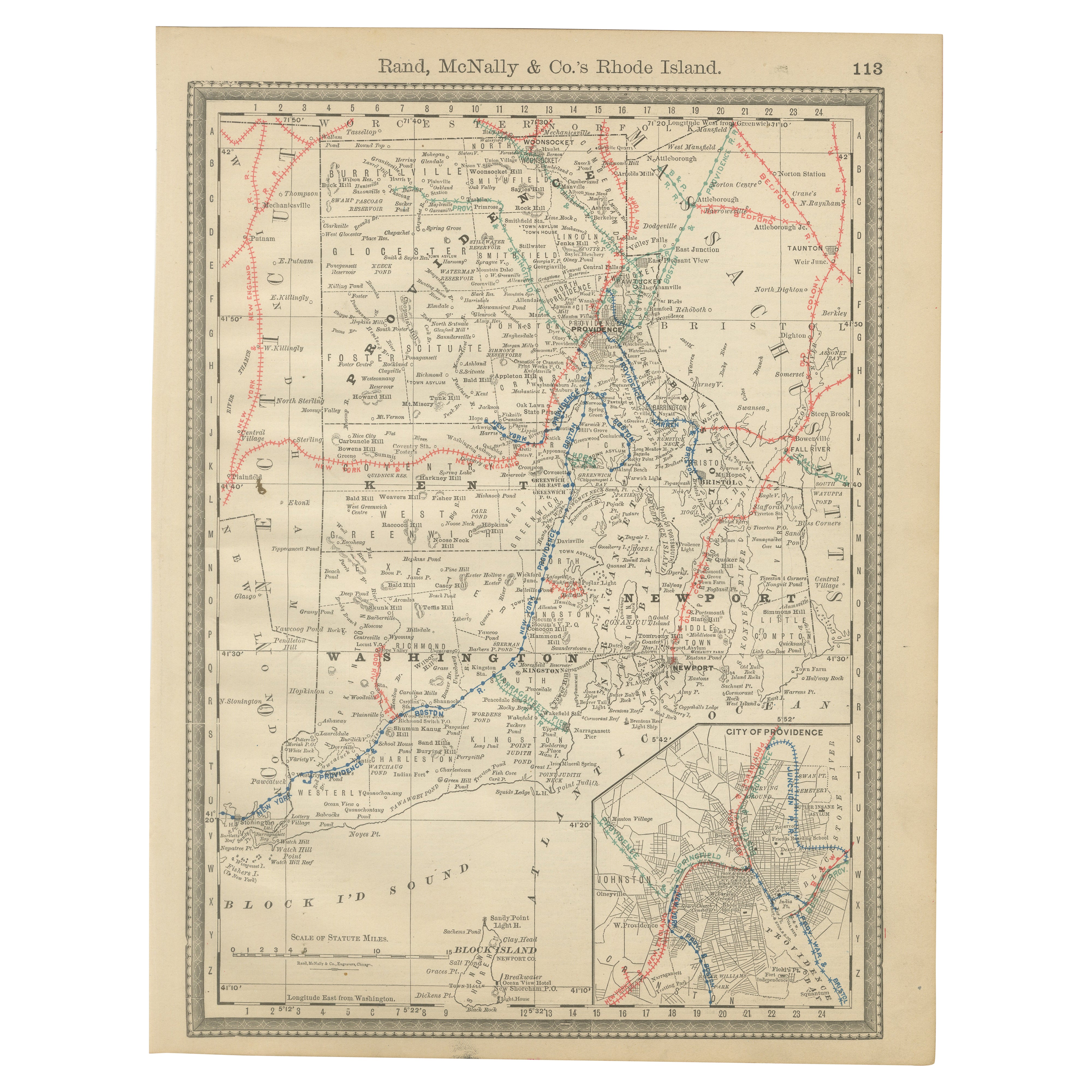
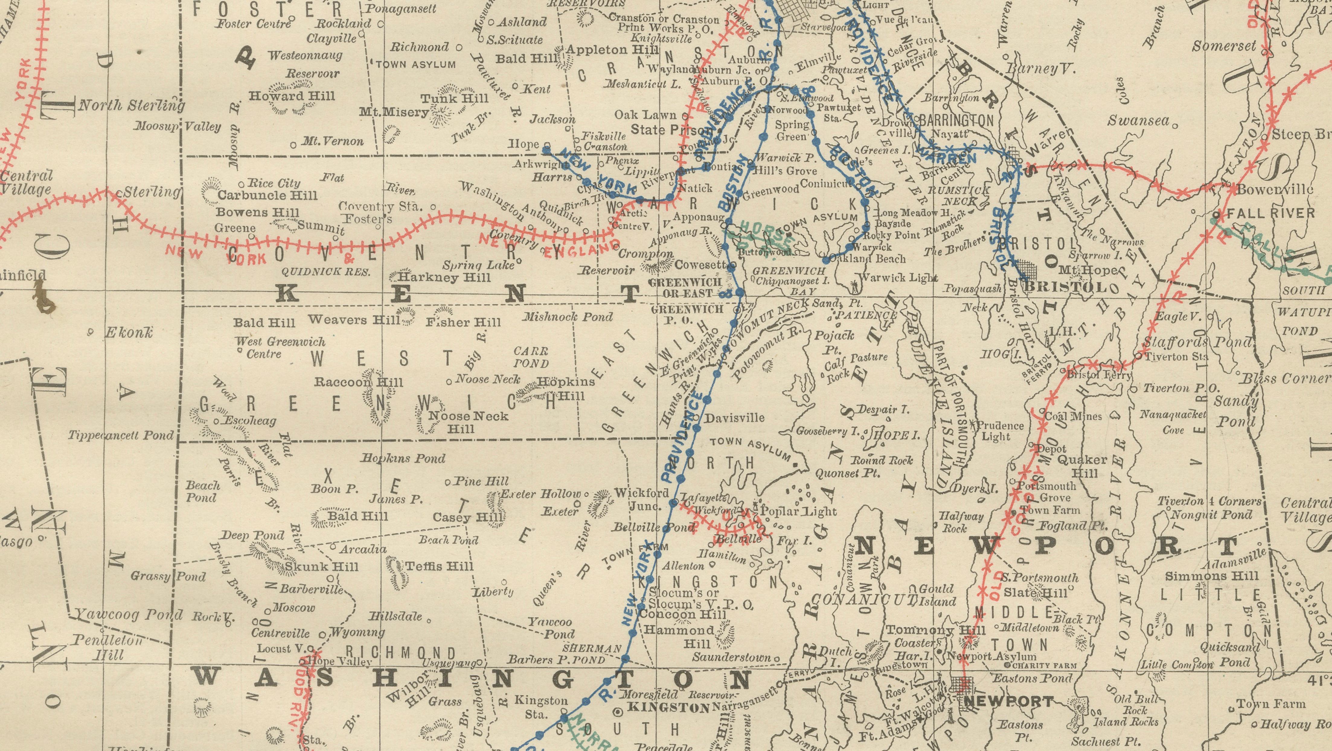
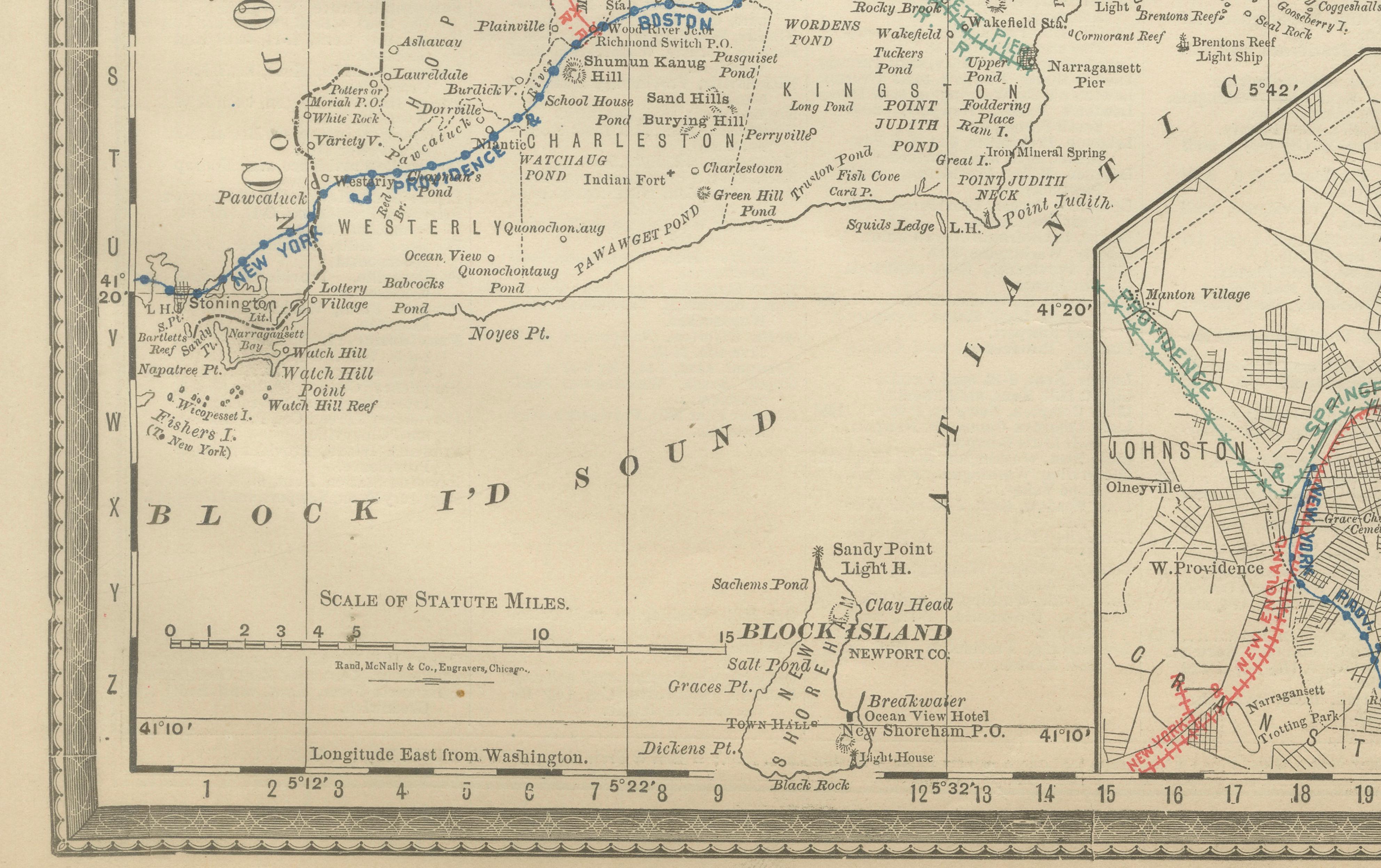
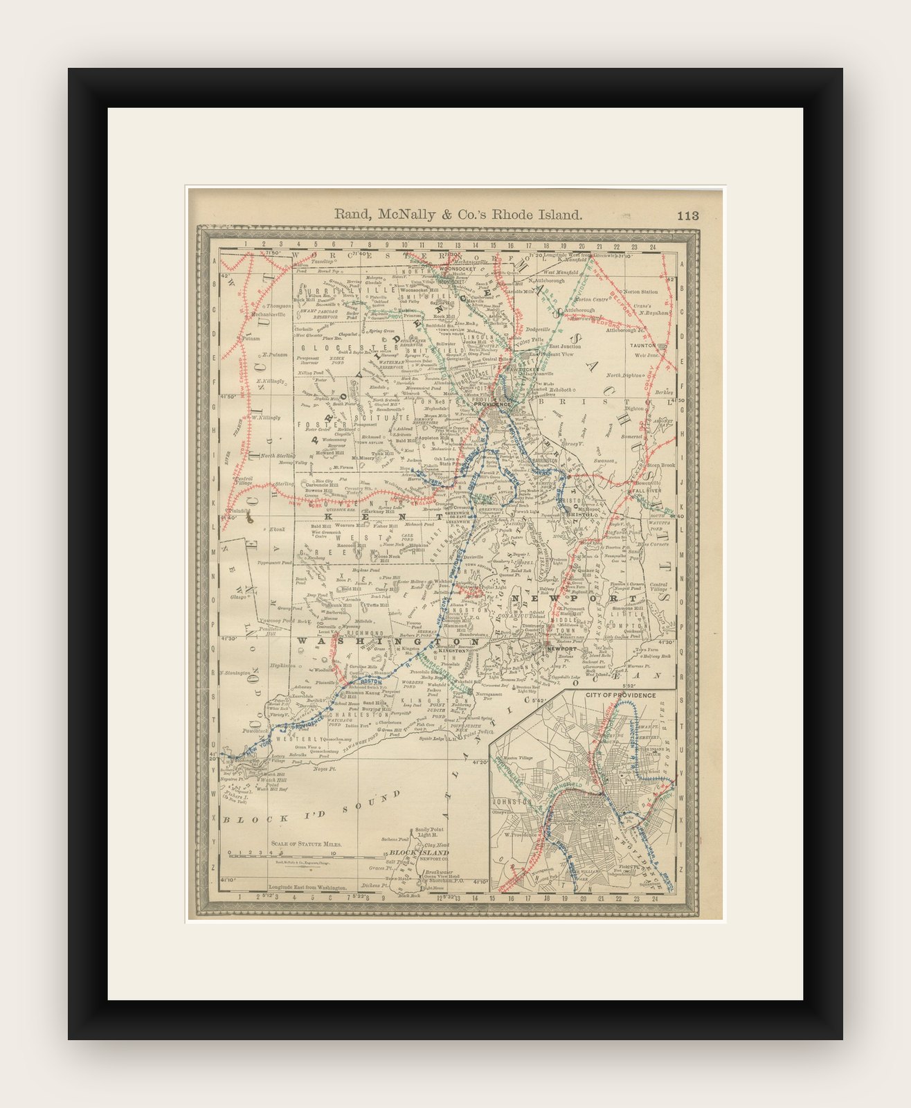
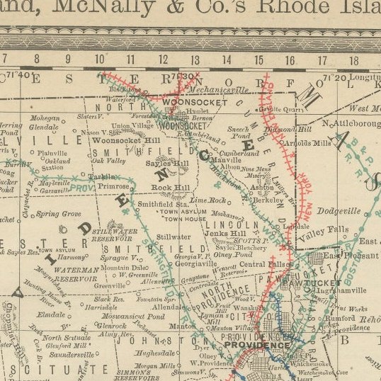
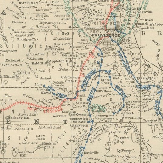
This original antique atlas map depicts the state of Rhode Island in remarkable late-19th-century detail, presenting the smallest U.S. state with a density of information that feels both graphic and elegant. Towns, rivers, coastal inlets, and an intricate railroad network are clearly shown, reflecting Rhode Island’s industrial and maritime importance during this period.
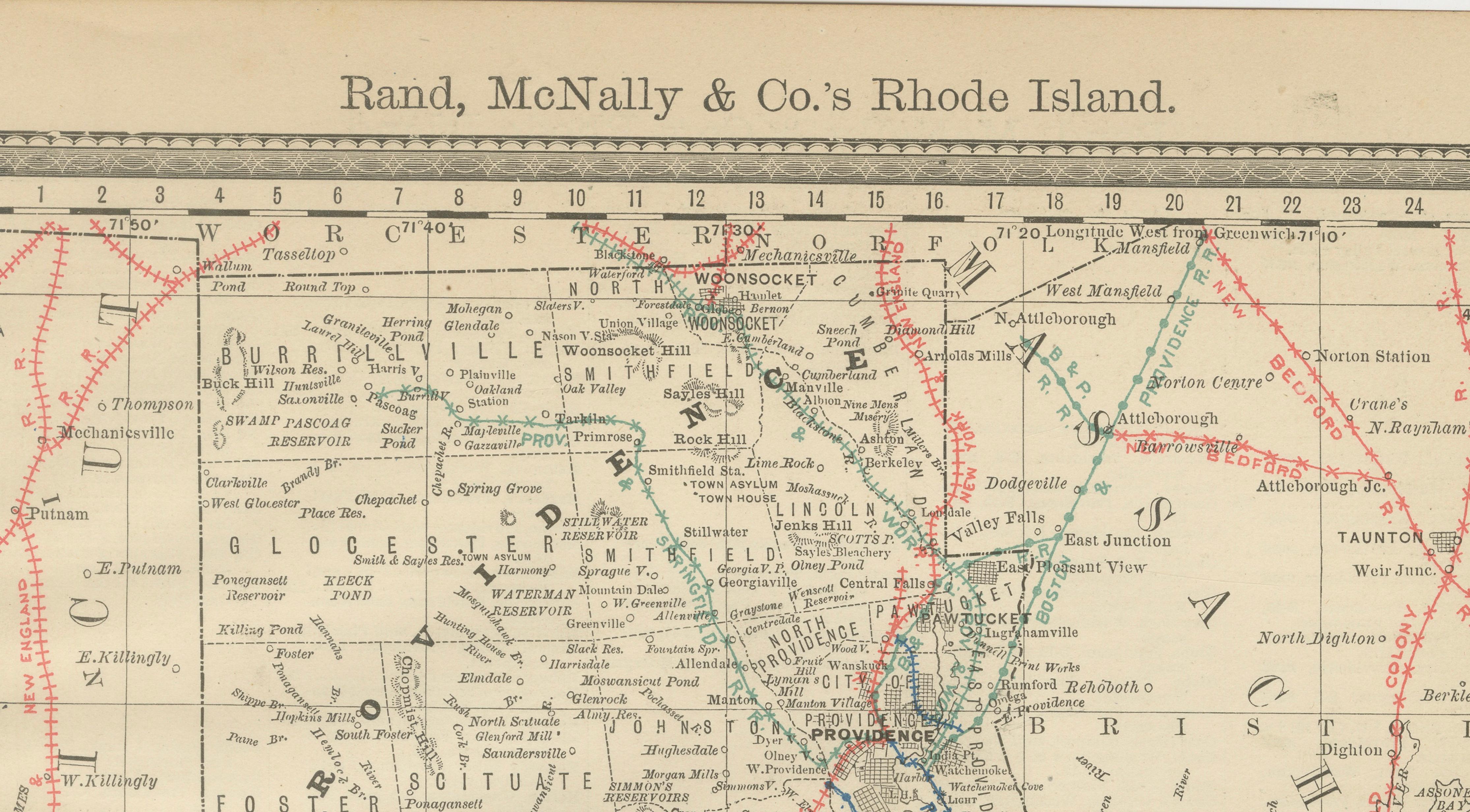
The map highlights key locations including Providence, Newport, Pawtucket, Woonsocket, Warwick, Bristol, and Westerly, with Narragansett Bay forming the dramatic heart of the composition. Rail lines are picked out in red and blue, creating a lively visual rhythm across the otherwise restrained engraved base. An inset map of the City of Providence adds urban detail and visual interest, making this sheet especially appealing to collectors and interior designers alike.
Published by Rand, McNally & Co., this map combines cartographic clarity with strong decorative appeal. Its balanced proportions and subtle color accents make it well suited for both traditional and contemporary interiors, whether styled as a single statement piece or as part of a New England map wall.
Printed on original period atlas paper, the sheet shows the gentle patina and texture expected of a genuine antique map, adding warmth and authenticity impossible to replicate in modern reproductions.
Condition report: Light age toning overall. Minor edge wear and small handling marks consistent with original atlas binding. No major tears or losses; a clean and attractive example.
Framing tips: Frame in natural oak, walnut, or matte black with an off-white or light gray mat. Museum glass recommended to preserve detail and color.