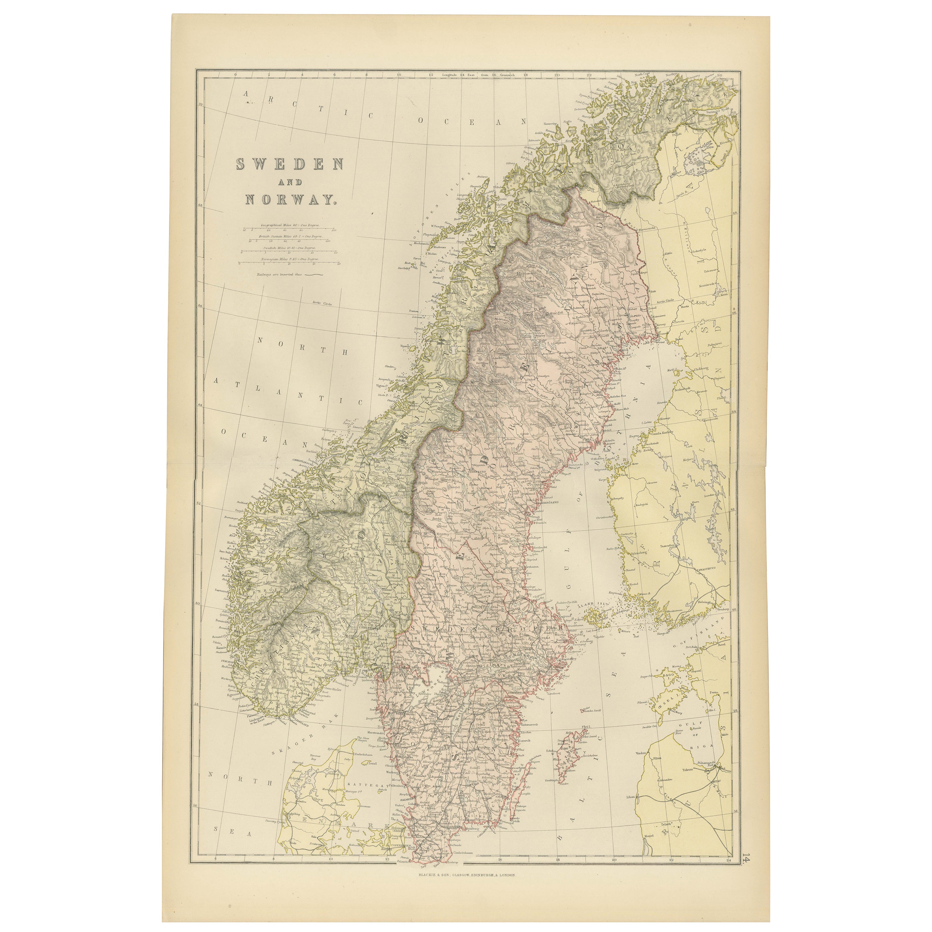
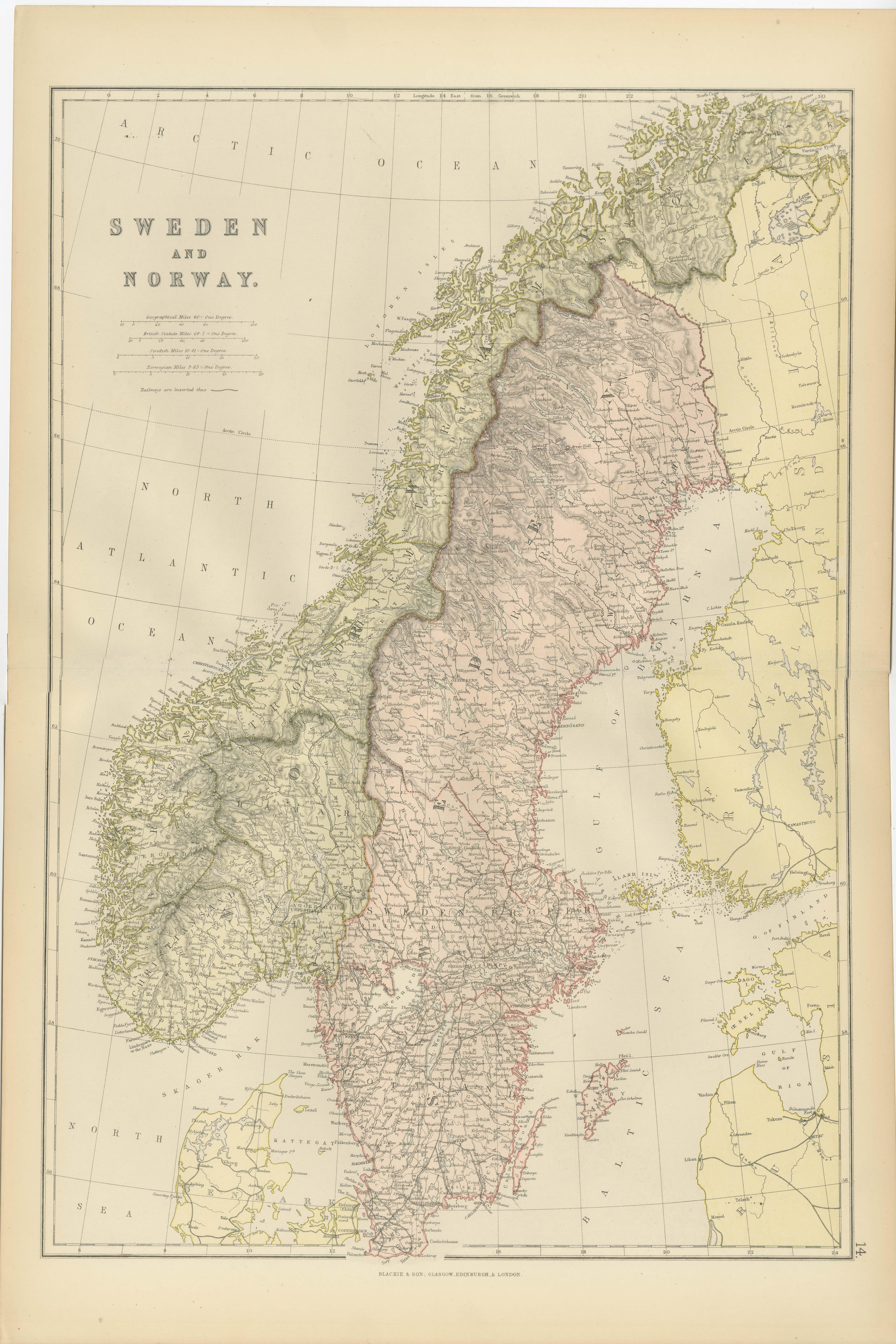
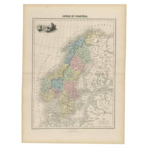
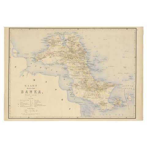
1882 Map of Sweden and Norway Highlighting Geographical and Political Features
€ 270
One of a kind: this is the sheet in the photographs. Ships from Langweer, the Netherlands.
Date
1882
Sheet size
57 × 39 cm (22.4 × 15.4 in)
Condition
Good
Reference
BG-13601-2-24
Condition
Condition report: The map is in good condition with minimal edge wear. Slight toning and occasional spotting are present, consistent with its age. The engraving remains sharp, and the colors are well-preserved. Fold line in middle, as issued.
About this sheet
This 1882 map of Sweden and Norway, published by Blackie and Son as part of the 'Comprehensive Atlas and Geography of the World,' provides a detailed depiction of the Scandinavian Peninsula during the late 19th century. It highlights the political boundaries between Sweden and Norway, as well as neighboring regions, including Denmark and parts of Finland and Russia. Major cities, towns, and settlements are labeled, offering a snapshot of the population distribution and urban development of the time.
The map features detailed topographical elements, including the rugged mountain ranges of Norway, the coastal fjords, and Sweden's expansive forests, plains, and numerous lakes. Maritime details, such as coastal contours and surrounding seas like the North Atlantic Ocean and the Baltic Sea, are also prominently displayed. Subtle pastel colors are used to differentiate political boundaries, enhancing clarity and visual appeal.
Condition report: The map is in good condition, with light age-related toning and minor spotting. The engraving remains sharp, and the colors are well-preserved. There are no visible tears or repairs, and the paper is strong and intact.
Framing tips: Use a wooden frame with a classic or antique finish, such as walnut or dark oak, to enhance the historical nature of the map. A double mat with an inner cream or off-white layer and an outer mat in soft green or light gray complements the map’s tones and adds depth. Opt for UV-protective glass to prevent fading and ensure the map’s long-term preservation as a display piece.