About this sheet
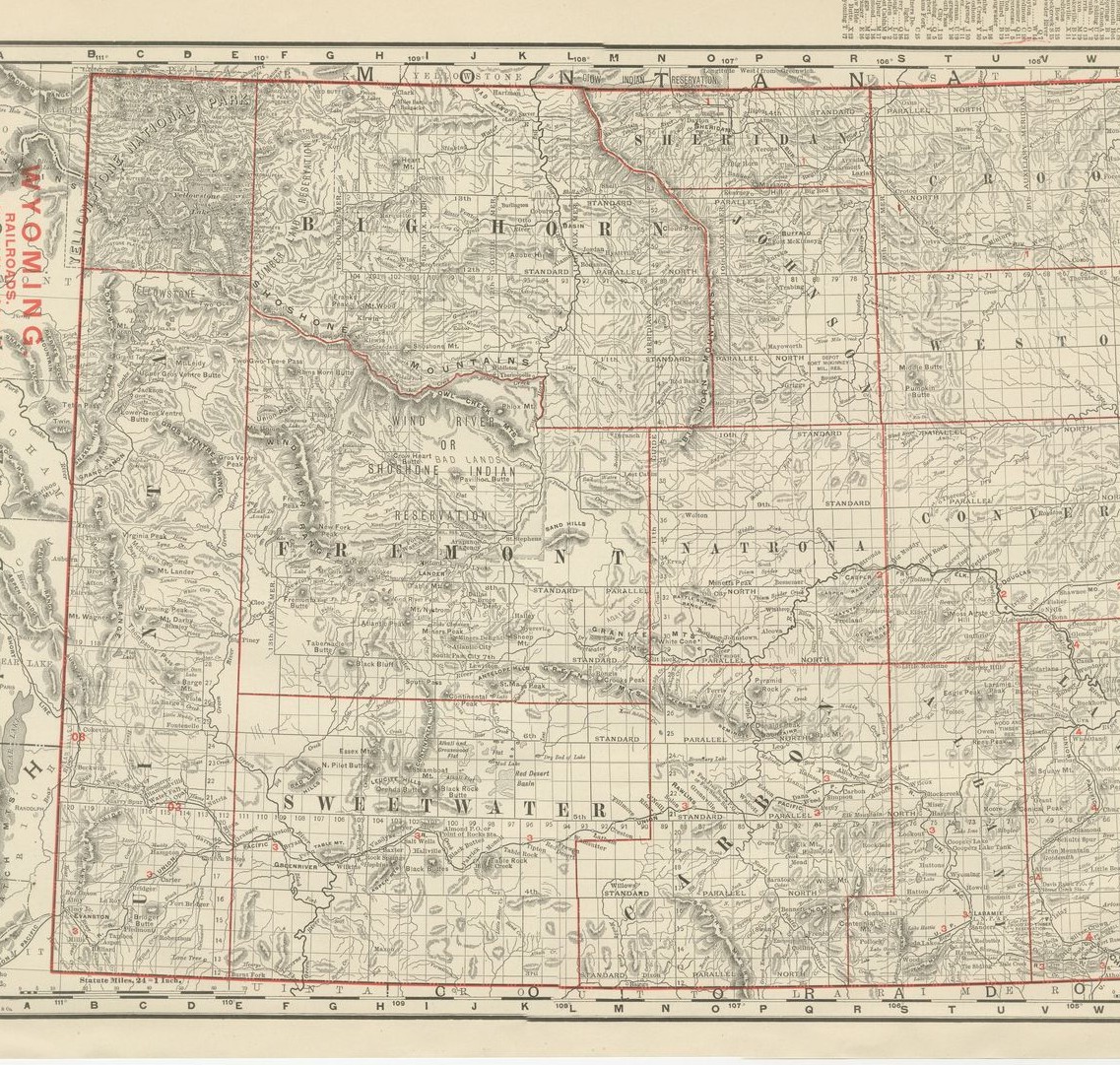
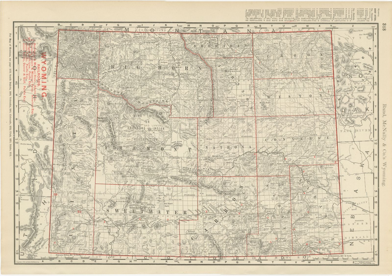
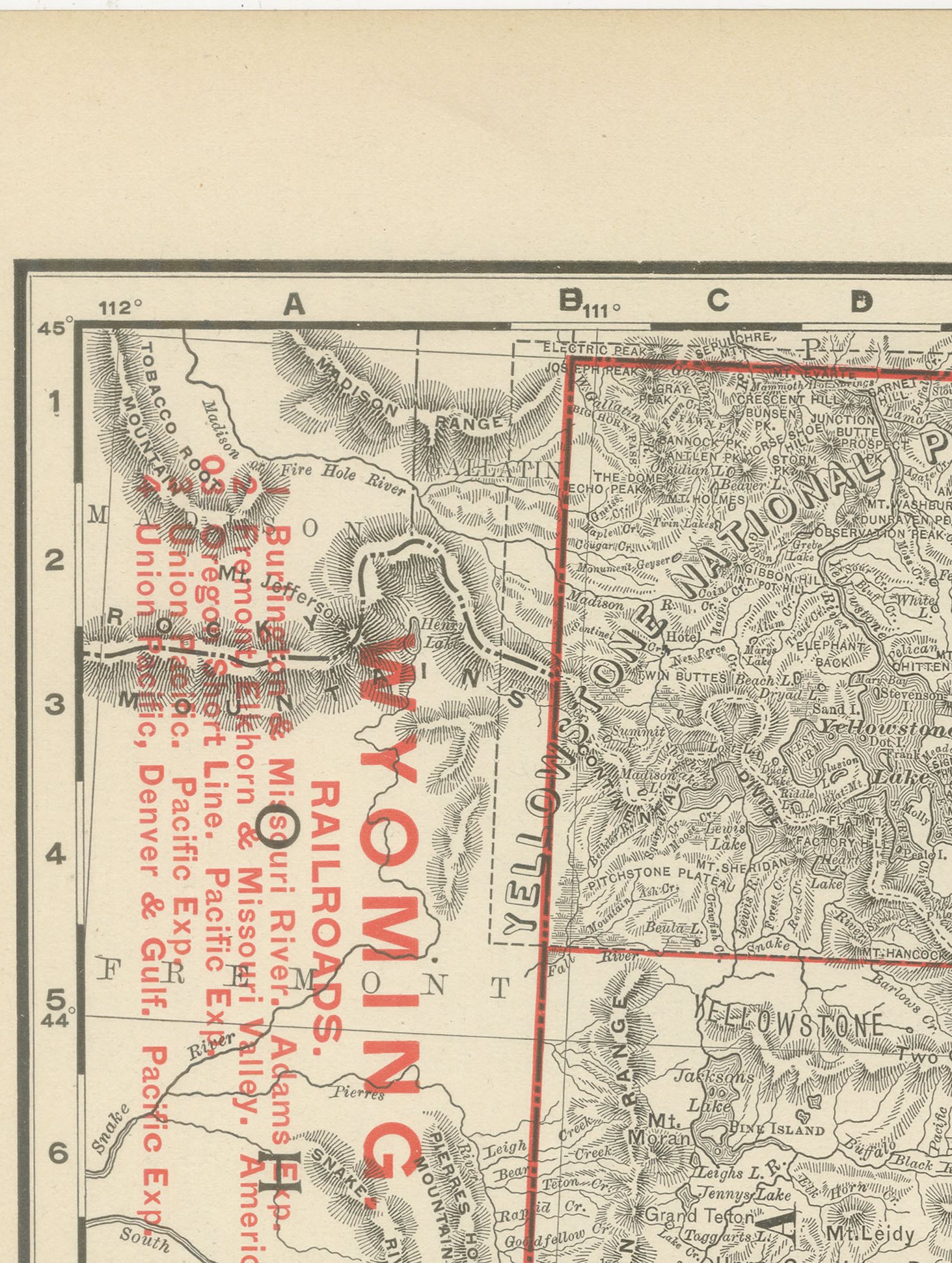
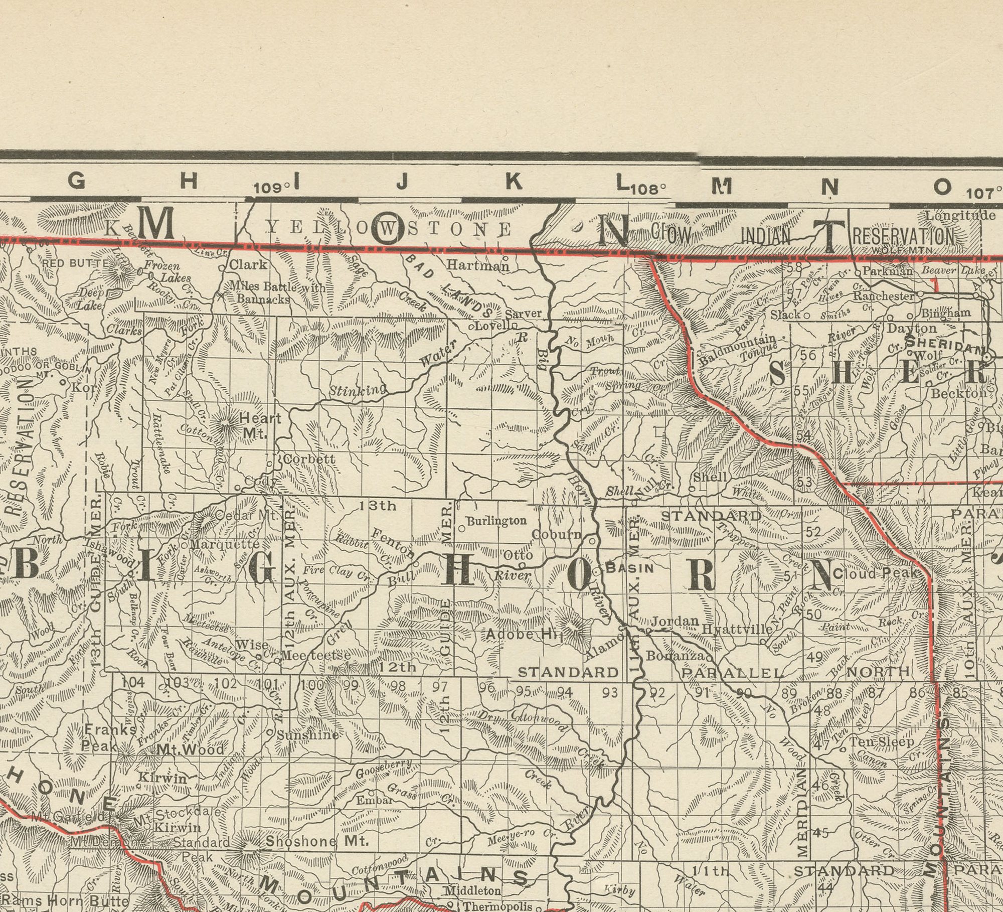
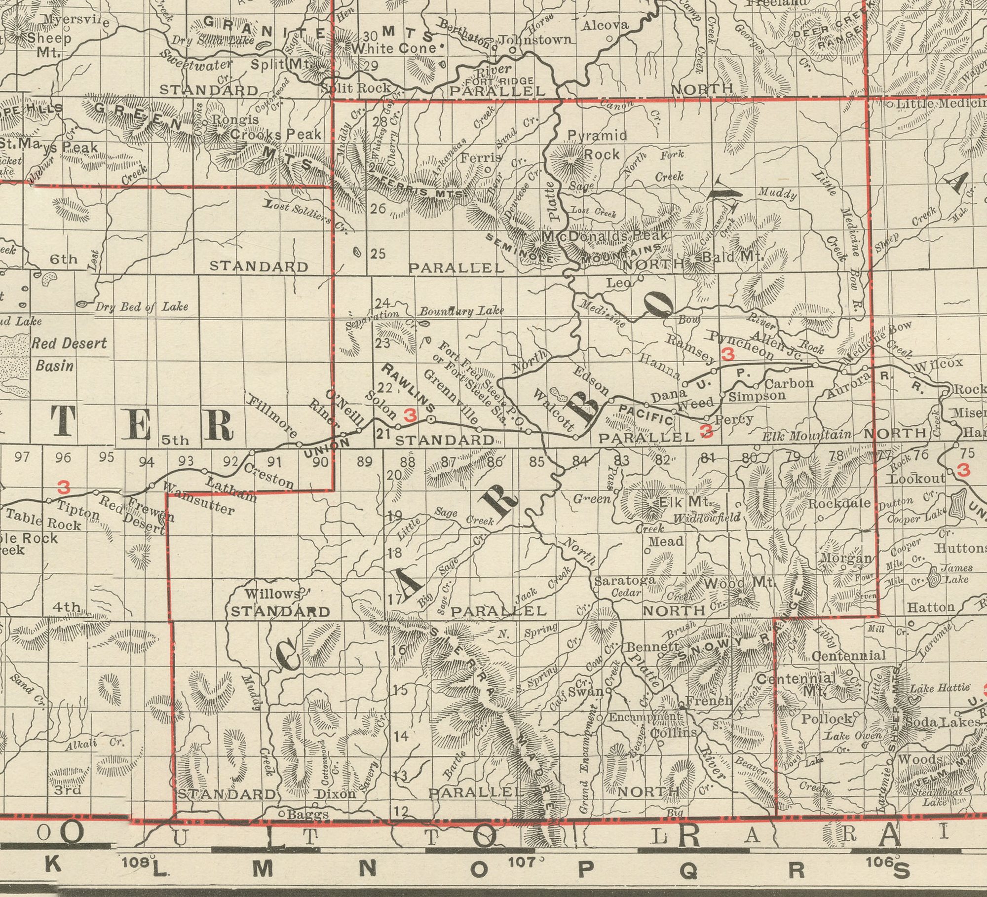
This antique map of Wyoming appeared on page 318 of Rand McNally's 1899 indexed atlas, and it shows the state county by county: Uinta, Sweetwater, Fremont, Natrona, Carbon, Albany, Laramie and Converse across the southern half, and Big Horn, Sheridan, Johnson, Crook and Weston in the north. Yellowstone National Park occupies the northwest corner, shown in outline with its hot springs and geyser basins named but comparatively sparse detail, a reminder that the park, established in 1872, was still a wilderness reserve rather than a heavily mapped tourist destination at this date.
The Wind River, or Shoshone, Indian Reservation is outlined across the centre of the state, and the Big Horn Mountains, Wind River Range and Owl Creek Mountains are rendered in the atlas's dense hachured relief, with the township-and-range survey grid laid across the eastern plains counties where public land had been surveyed for settlement. A red railroad legend at upper left lists the lines then serving the state: the Burlington and Missouri River, the Chicago, Burlington and Quincy, the Colorado and Southern (Denver and Gulf), and the transcontinental Union Pacific crossing the southern tier of counties through Cheyenne, Laramie, Rawlins and Green River.
As with the other sparsely populated western states in this atlas, county boundaries carry the only colour on the sheet, red on cream, with the topography left to the hachured relief alone. Scale is given as 24 statute miles to the inch, with a corresponding kilometre bar, and a note directs the reader to the adjoining maps of Montana, South Dakota, Nebraska, Colorado, Utah and Idaho.
Rand McNally, a Chicago firm that by the 1890s ranked among the leading map publishers in the United States, was known for railroad and commercial maps revised from issue to issue. This antique map of Wyoming is a colour lithograph, the outline printed in black and the colour printed over it, and an original 1899 atlas sheet. It is suitable for framing. The colour is printed rather than applied by hand.
The sheet is in good condition for its age, with light, even age toning, clean margins and minor handling wear to the sheet edges. Please review the images for further condition details.
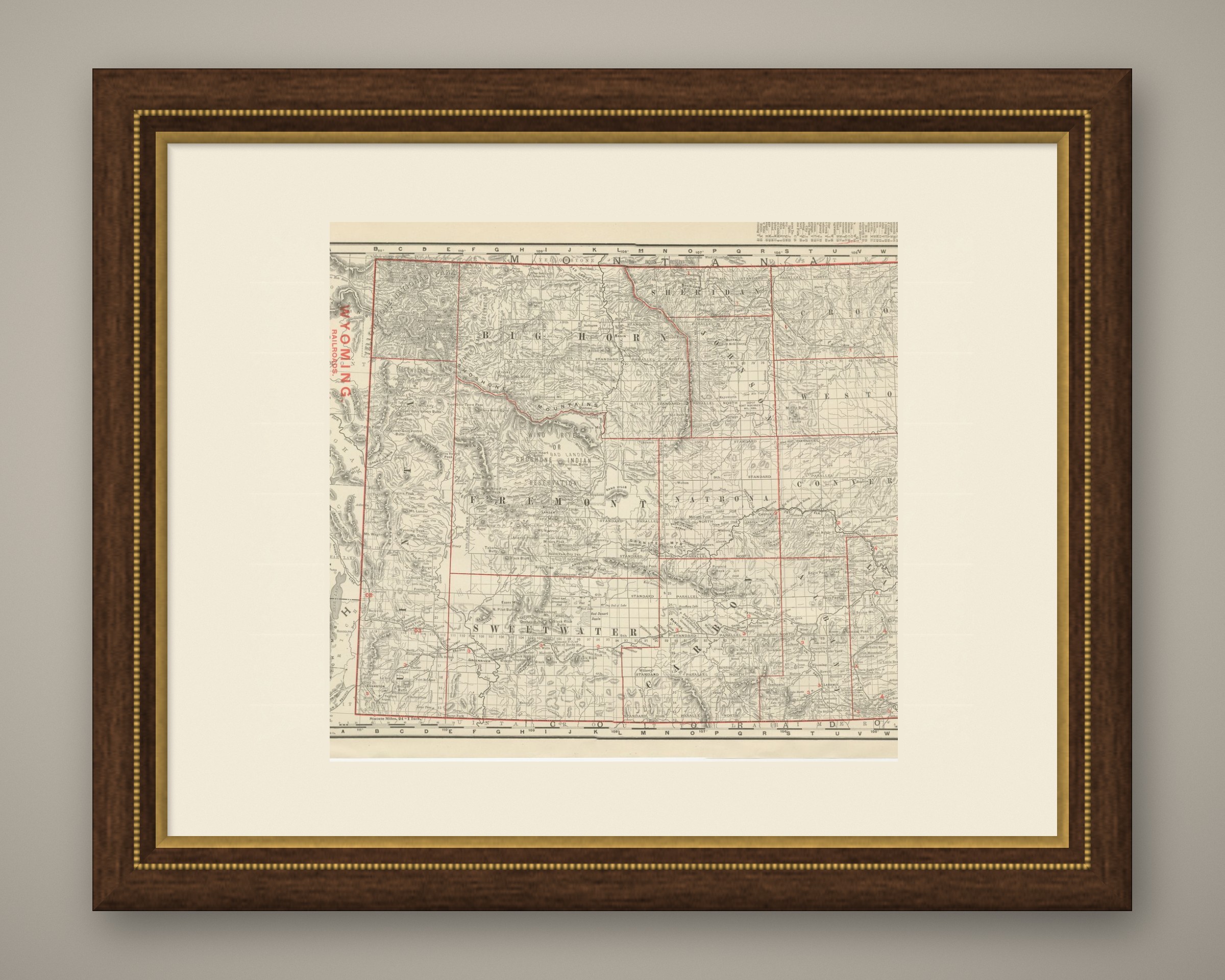
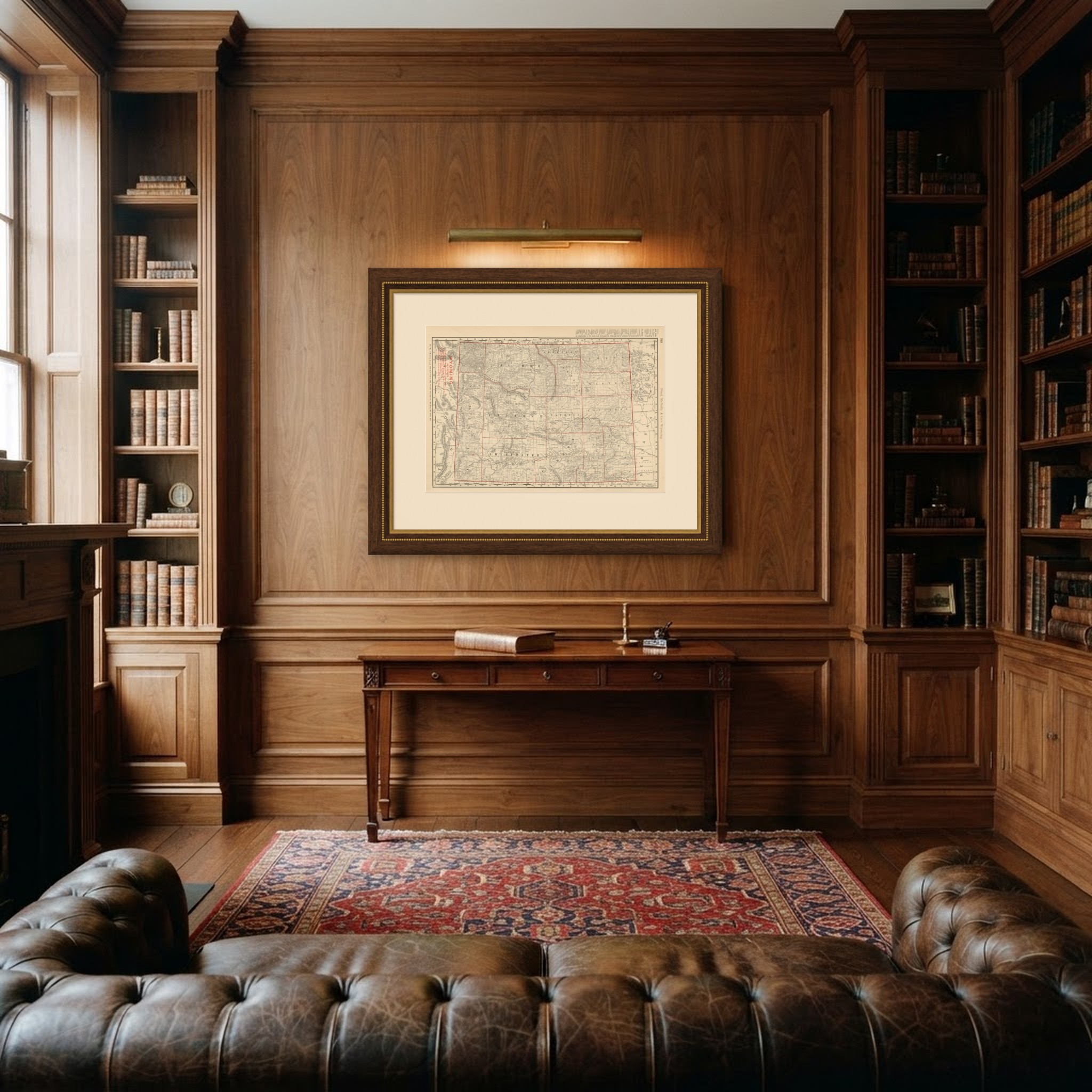
This is an original antique map, not a modern reproduction. This item is sold unframed. Any framed or interior images are shown for presentation and inspiration only, unless the listing explicitly states that the item is sold framed.