About this sheet
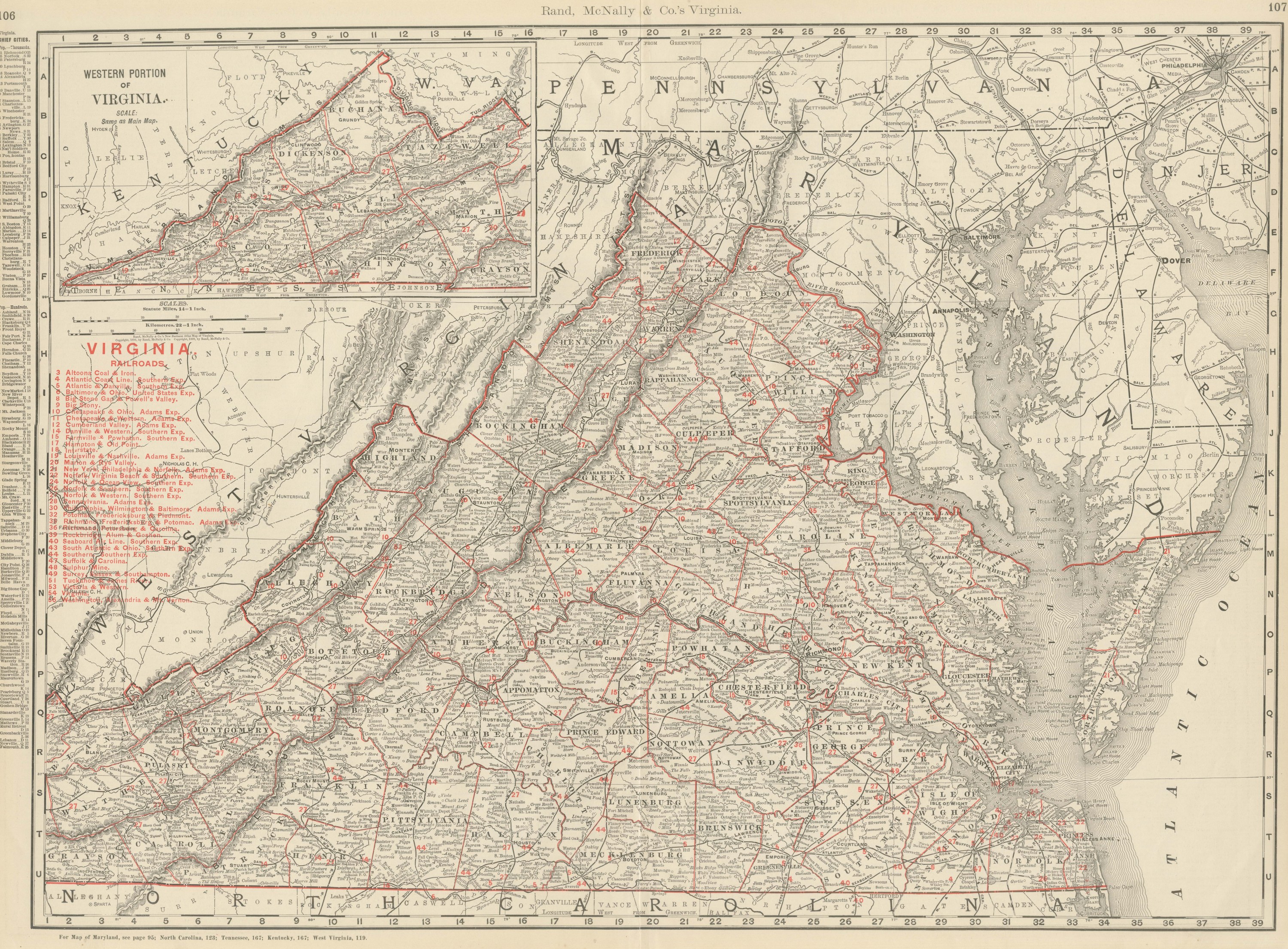
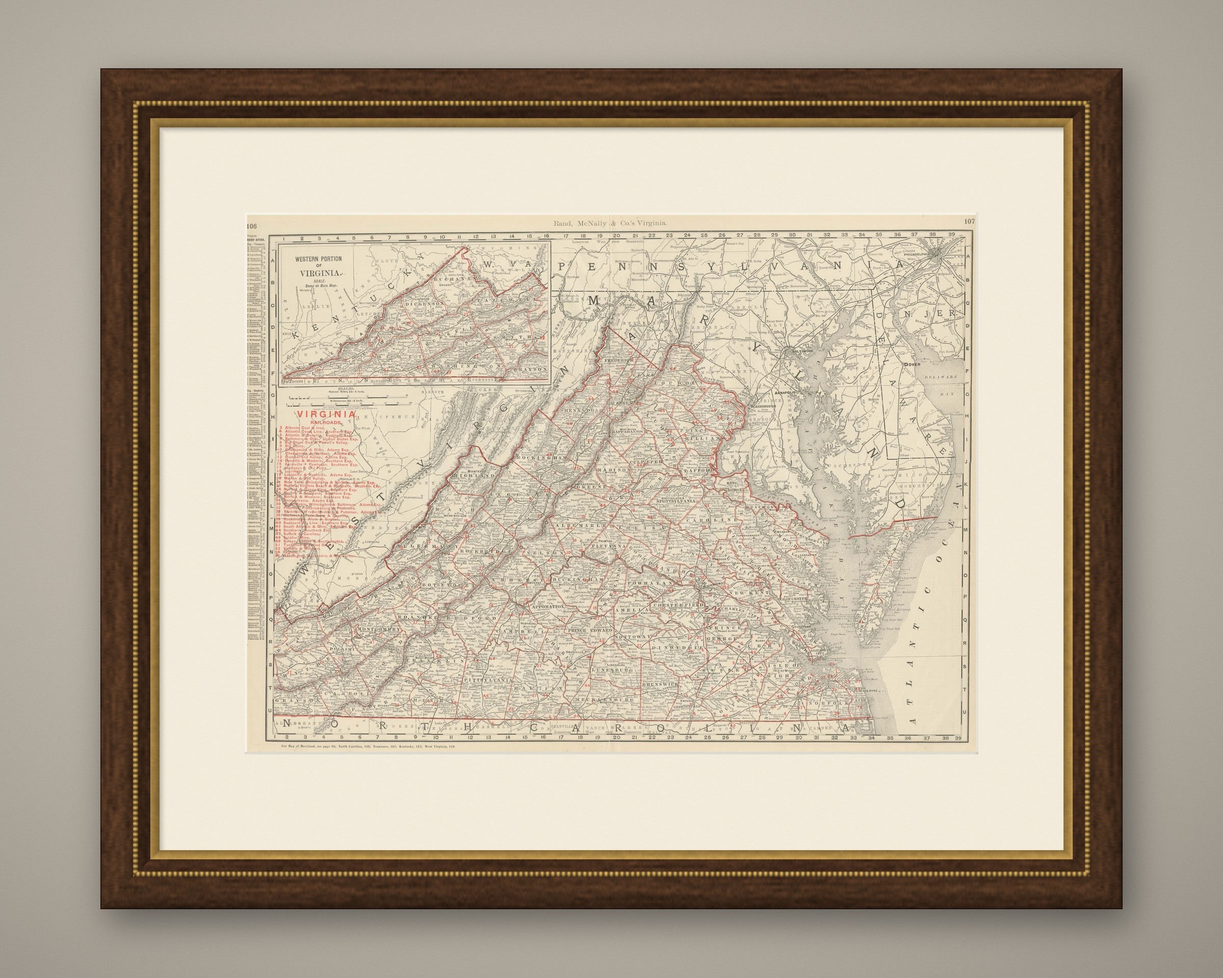
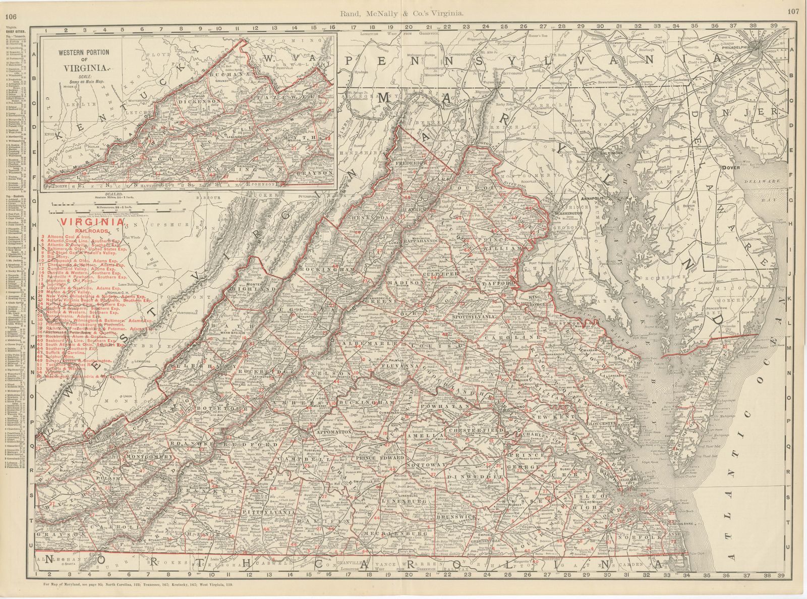
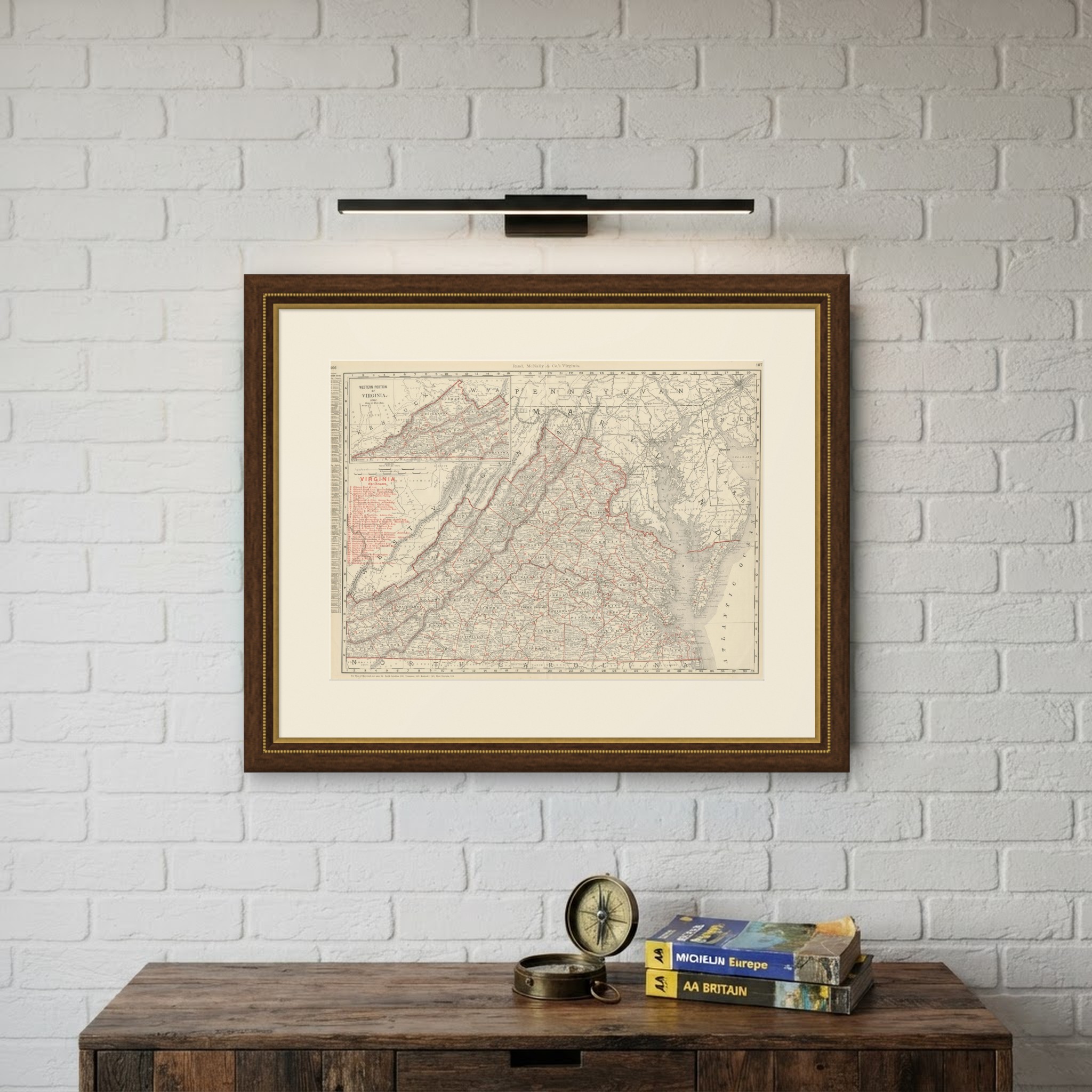
An original antique map of Virginia from Rand McNally's 1899 indexed atlas, this double-page sheet on pages 106 and 107 runs from the Shenandoah Valley to the Chesapeake Bay and the Atlantic, with an inset carrying the mountainous southwestern counties.
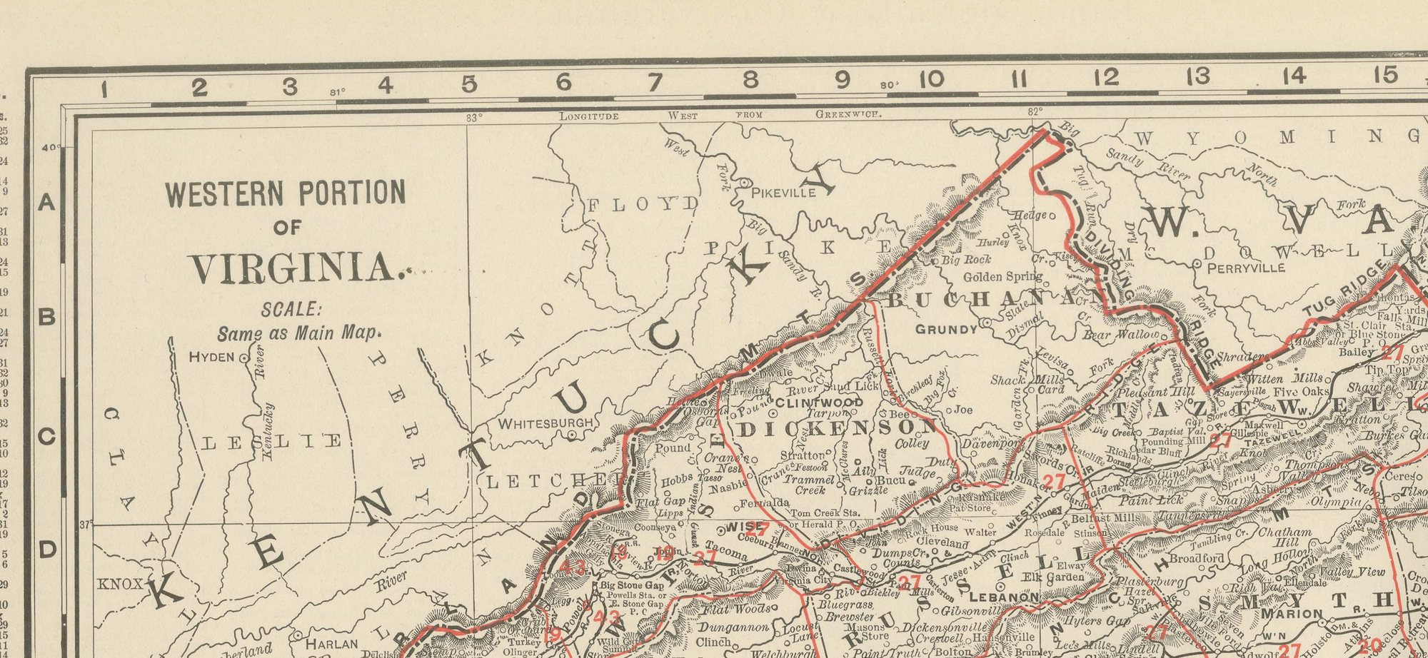
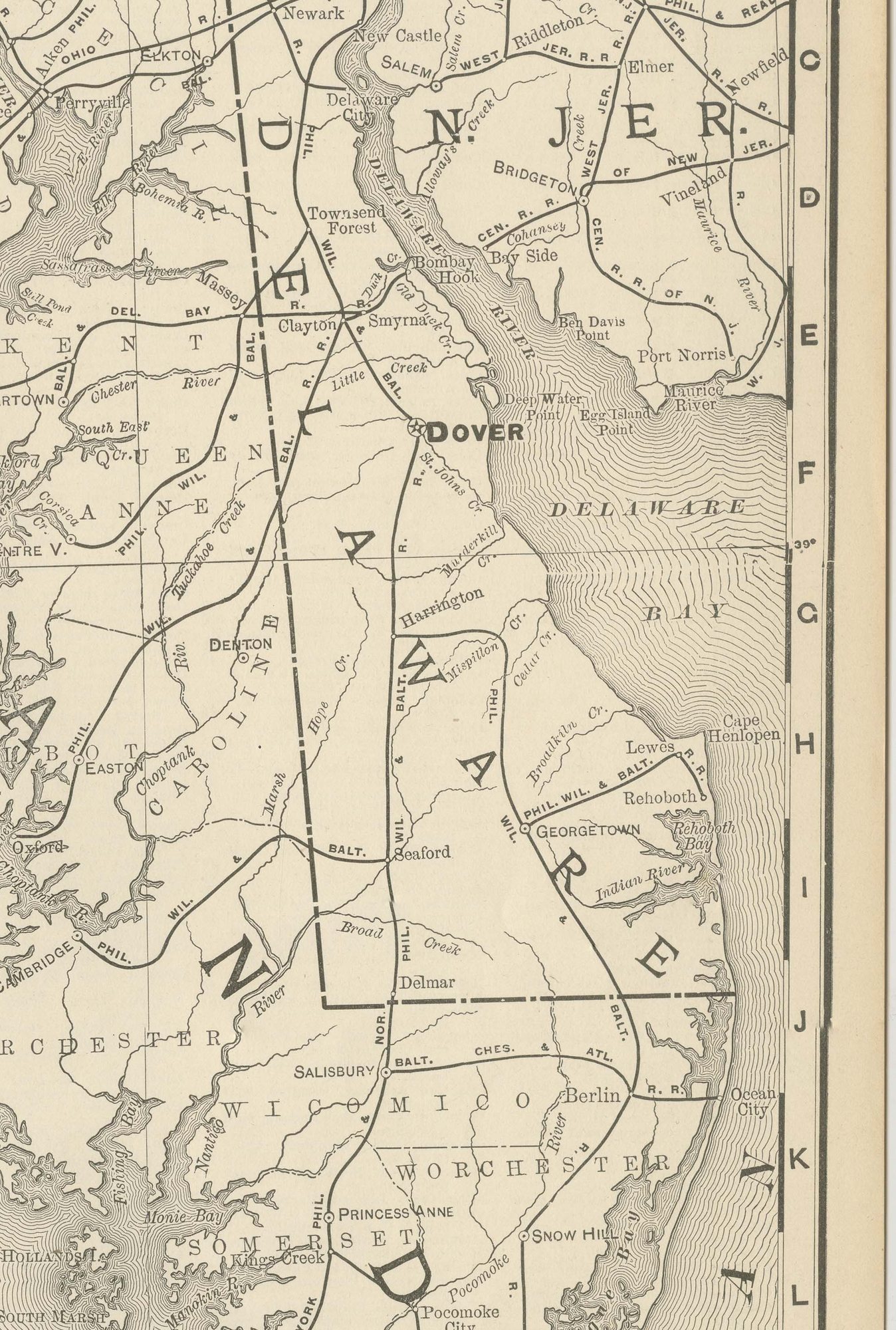
The Blue Ridge and Allegheny ranges run the length of the western half of the state in continuous hachured relief, and the agricultural counties of the Shenandoah Valley, Rockingham, Augusta and Shenandoah, stand out by their denser road and place-name detail. The inset at upper left, "Western Portion of Virginia", continues the coverage into Buchanan, Dickenson, Wise and Lee counties at the same scale as the main map. The Eastern Shore counties of Accomack and Northampton appear as a narrow peninsula reaching north towards Maryland and Delaware.
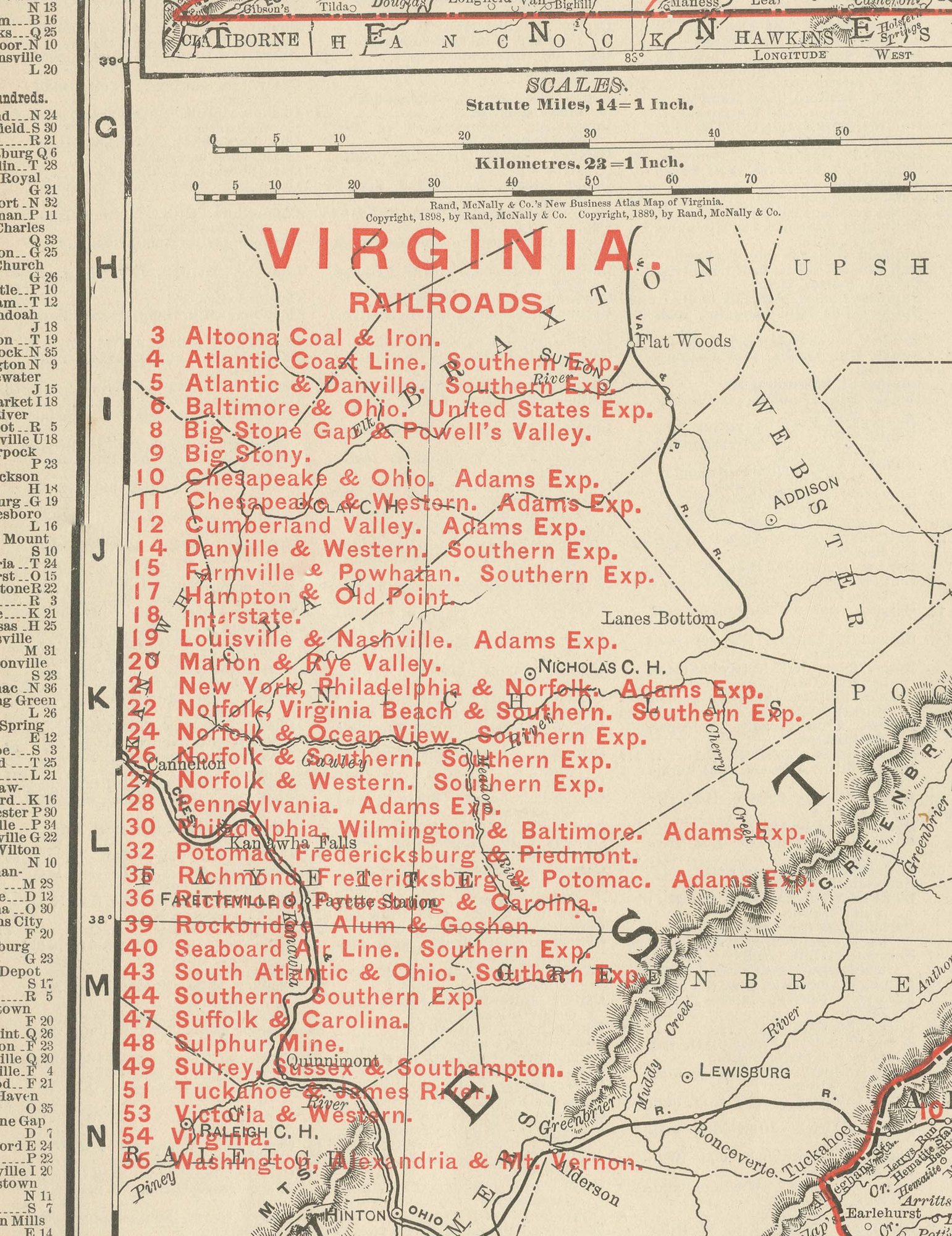
A red railroad legend at upper left lists some fifty companies, the Atlantic Coast Line, the Chesapeake and Ohio, the Norfolk and Western, the Richmond, Fredericksburg and Potomac, and the Seaboard Air Line among them, with Richmond, Petersburg and Norfolk anchoring the densest concentration of lines in the Tidewater. Scale is given as 24 statute miles to the inch, and a note at the foot of the sheet directs the reader to the adjoining Maryland, North Carolina, Tennessee, Kentucky and West Virginia maps.
Rand McNally's roots lie in a Chicago printing business started by William Rand in the 1850s and joined by Andrew McNally. The firm had become one of the foremost map publishers in the United States by the 1890s, and its indexed atlas of 1899 shows the house speciality at work: railroad and commercial maps revised from issue to issue.
The sheet is a color lithograph, the outline printed in black and every color printed over it rather than applied by hand. Once framed, this antique map of Virginia would suit a home or office in the state today, and it will appeal to collectors of American state maps and railroad history.
The sheet is in good condition for its age, with light, even age toning, minor handling wear to the sheet edges and the original central fold as issued. Please review the images for further condition details.
This is an original antique map, not a modern reproduction. This item is sold unframed. Any framed or interior images are shown for presentation and inspiration only, unless the listing explicitly states that the item is sold framed.