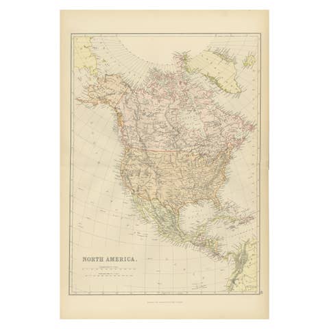
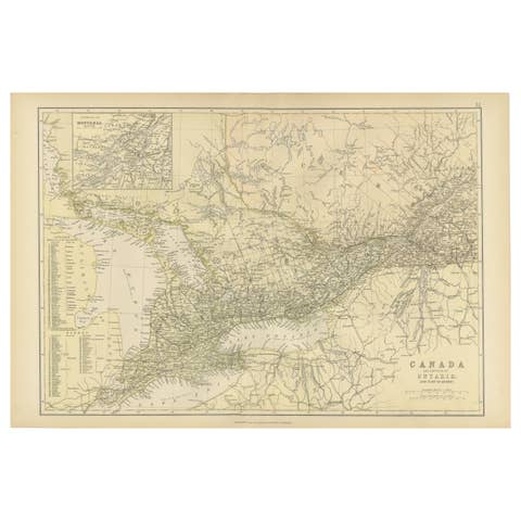
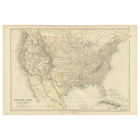
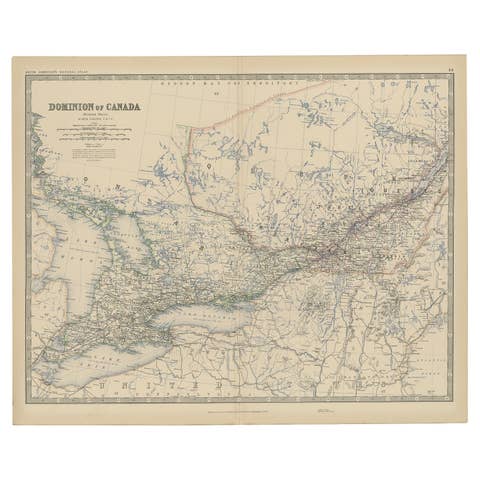
Antique Map of Eastern Canada, Blackie Atlas, 1882, Detailed Geography
€ 300
One of a kind: this is the sheet in the photographs. Ships from Langweer, the Netherlands.
Date
1882
Sheet size
38 × 57 cm (15.0 × 22.4 in)
Condition
Good
Reference
BG-13601-2-59
Condition
Good condition, folding line in the middle. The outer borders are slightly discolored due to age, but not the image. Study the image carefully.
About this sheet
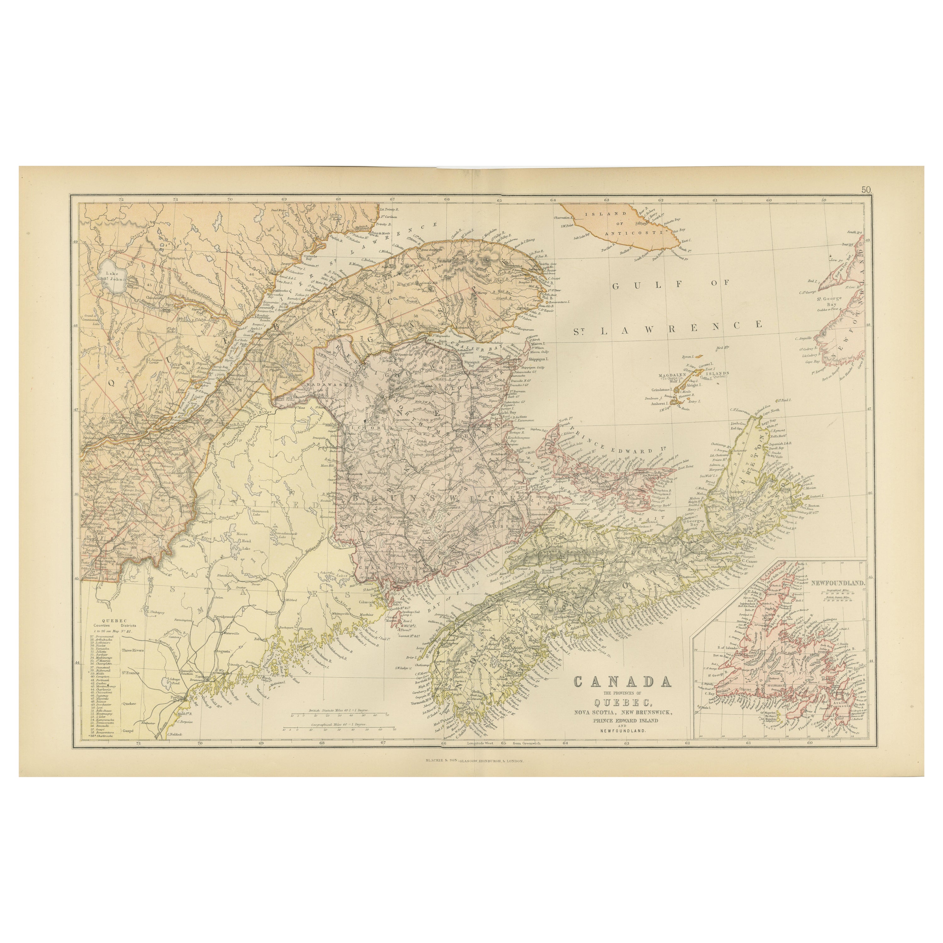
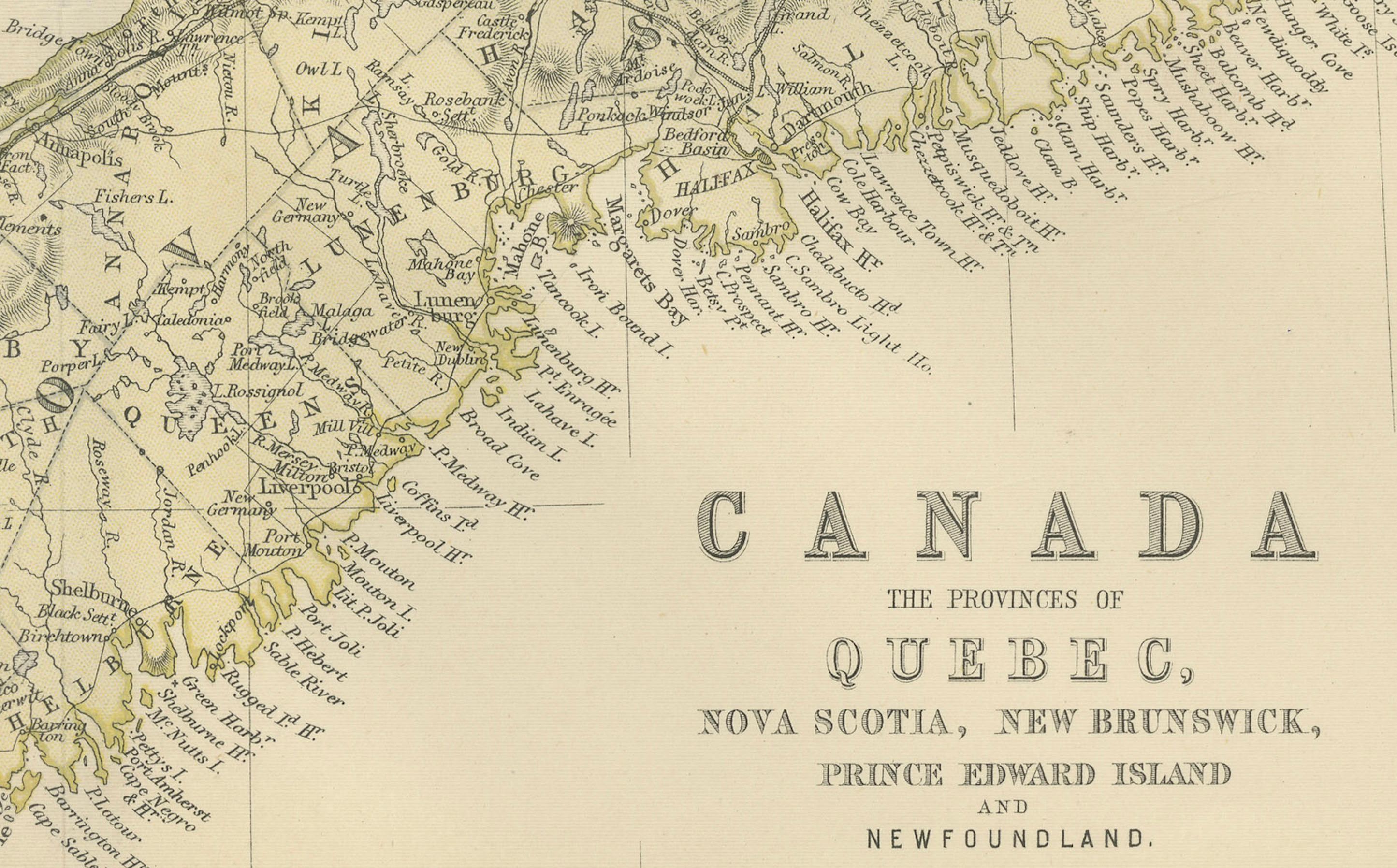
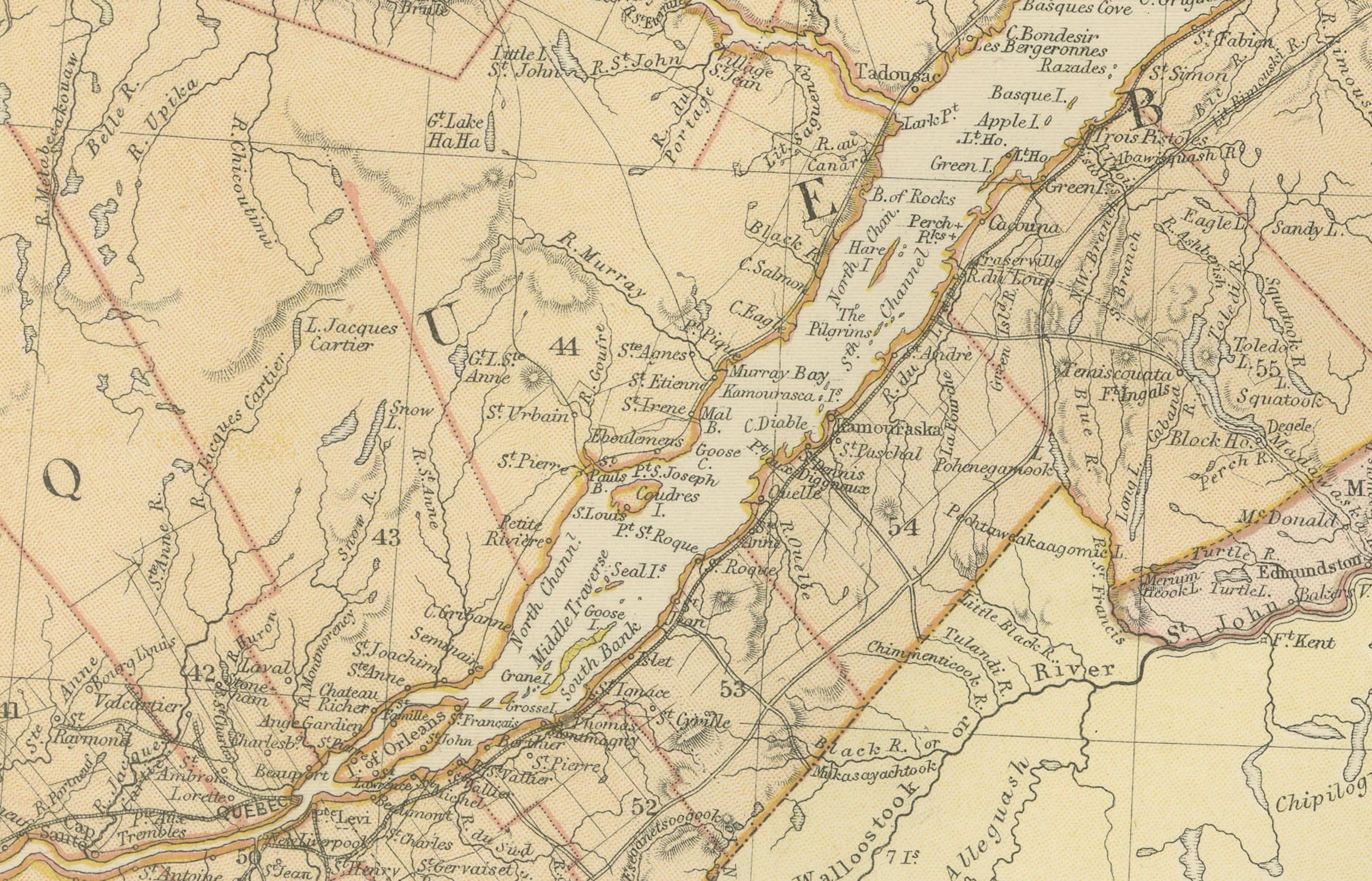
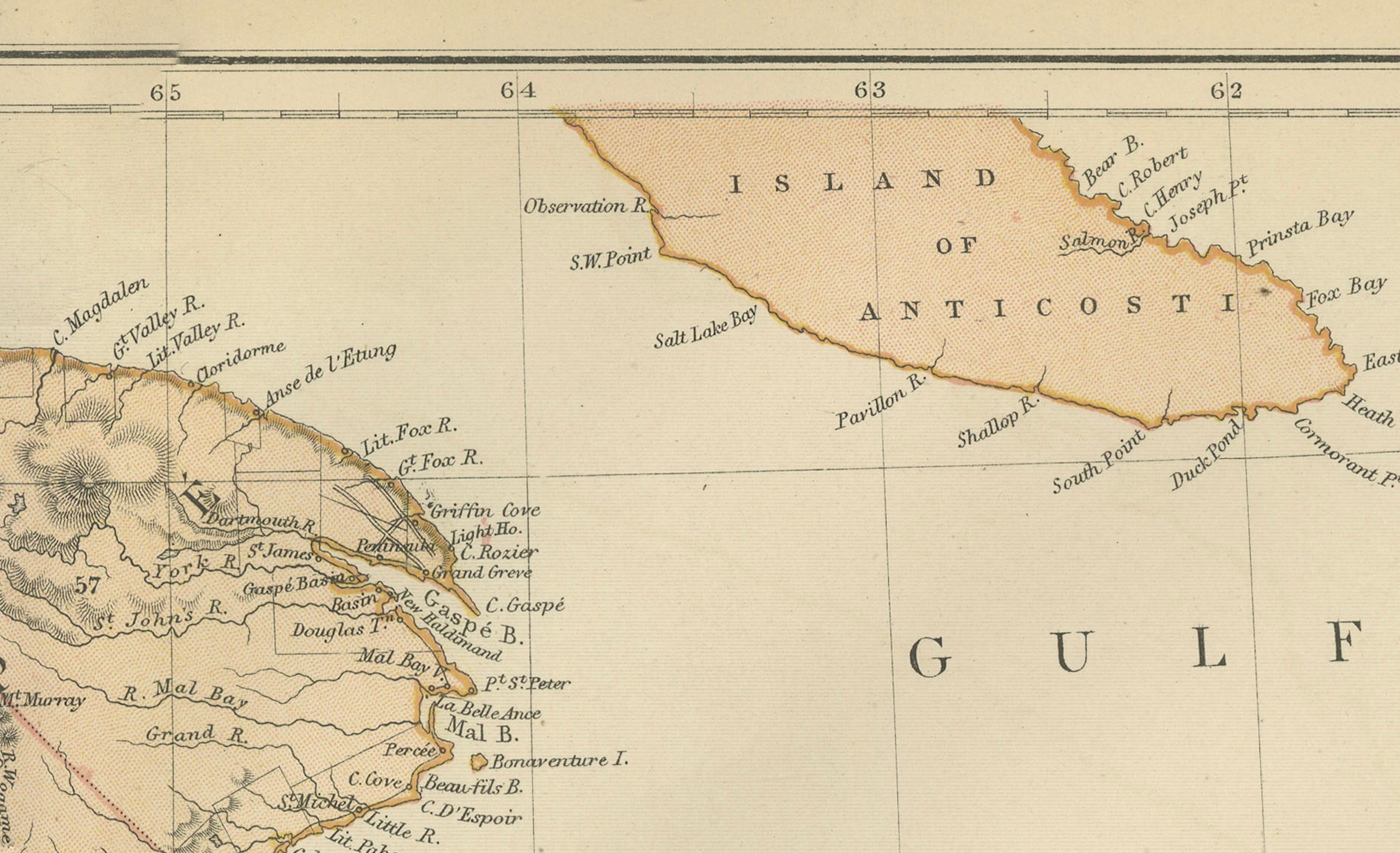
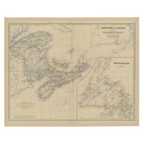
This is a historical map from the 1882 Blackie Atlas, focused on eastern Canada and the maritime provinces. The map is titled "Canada. No. 2. Provinces of Nova Scotia, New Brunswick, Prince Edward Island, Newfoundland." The Gulf of St. Lawrence is a prominent feature, with the surrounding lands and waterways detailed intricately.
On the map, the provinces of Nova Scotia and New Brunswick are color differentiated, with Prince Edward Island and the Newfoundland island clearly marked. The topography is indicated by hachure marks, which are used to denote the relief and mountains, a common practice before the development of contour lines.
Major cities, towns, rivers, and other geographical features are noted, allowing for a detailed understanding of the region's geography at the time. The railway lines are also likely indicated, as they were an important part of the area's infrastructure and development.
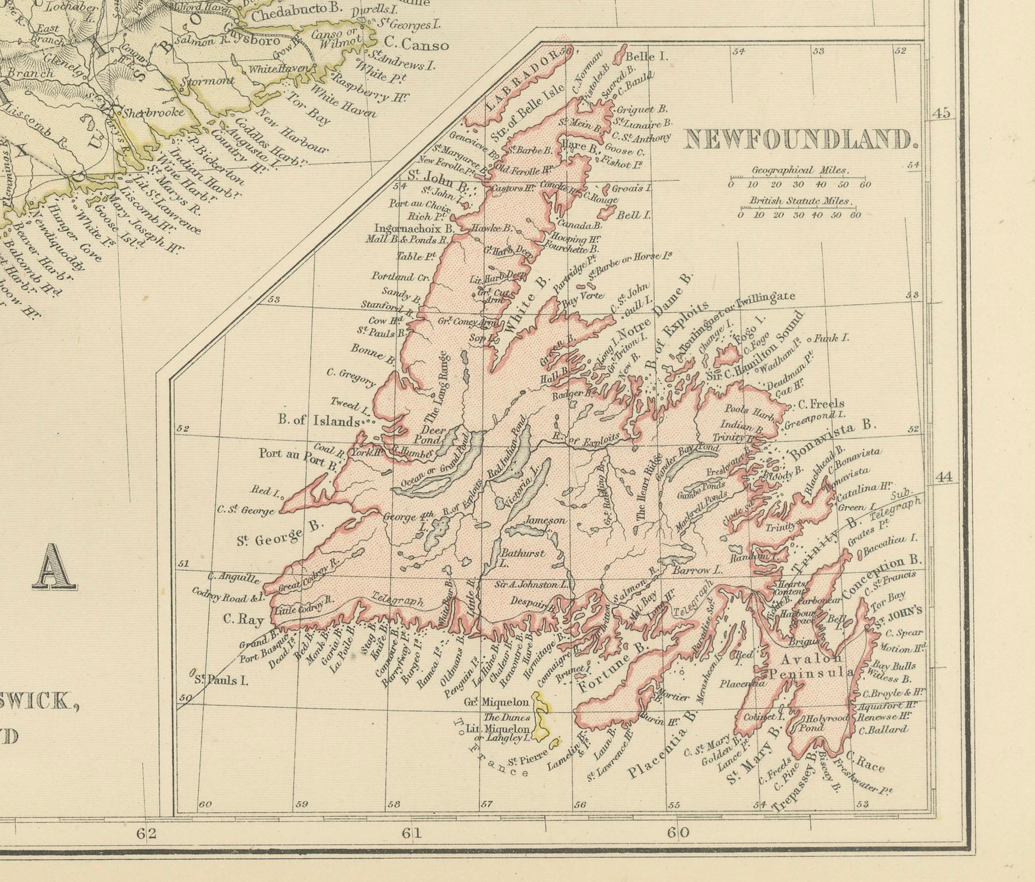
In the bottom right corner, there appears to be an inset map providing a more detailed view of Newfoundland, which shows its rugged coastline and internal features. The presence of such detailed mapping of the area reflects its significance for shipping, fishing, and transatlantic travel and communication during the late 19th century.
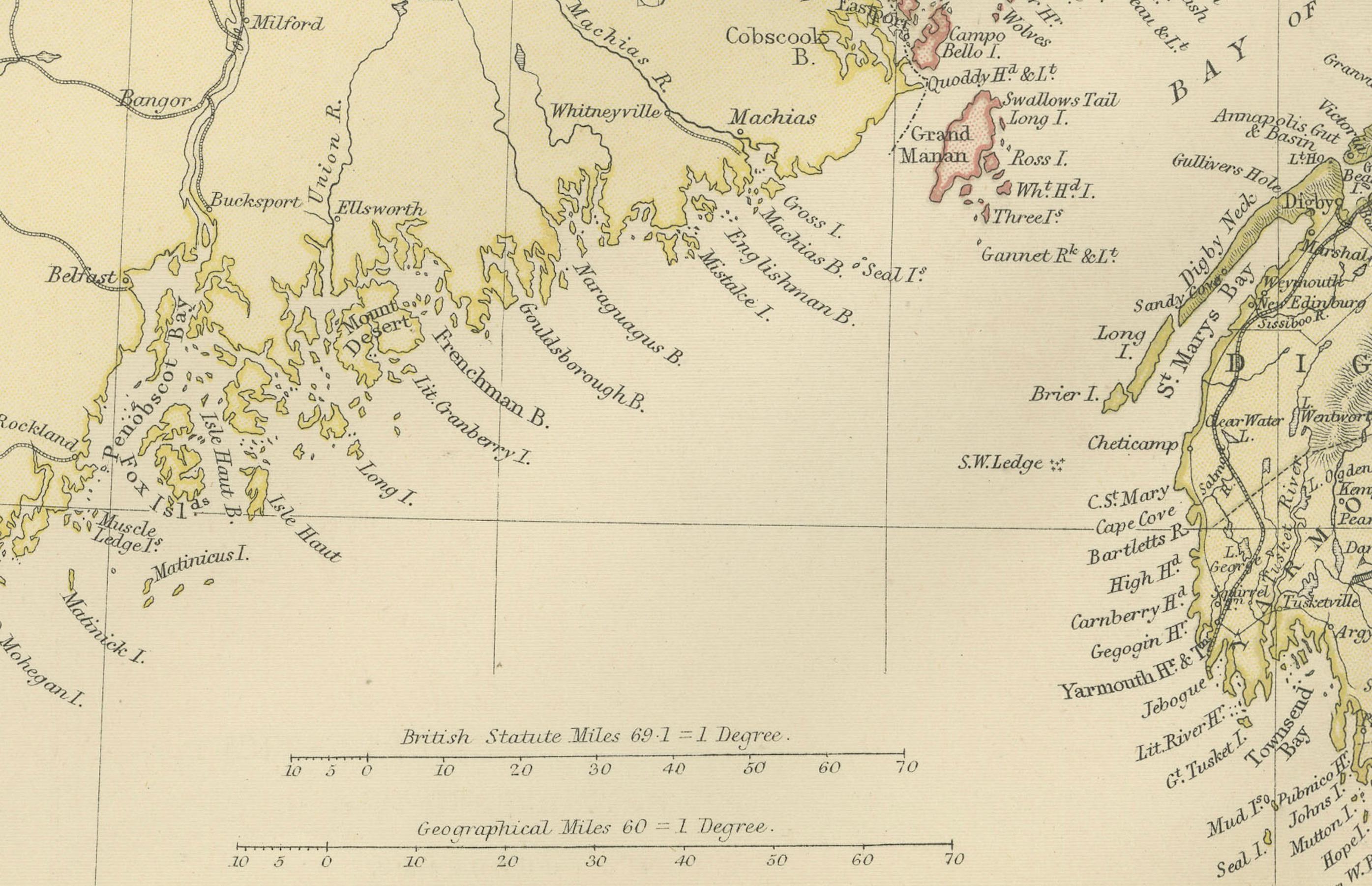
The map's longitude and latitude markers, the detailed scale at the bottom, and the clear labeling of the geographical features all indicate that this map was a practical tool for education and navigation at the time of its creation.