1882 Blackie Atlas Maps: Atlantic States and Mississippi Valley Compilation
€ 360
One of a kind: this is the sheet in the photographs. Ships from Langweer, the Netherlands.
Date
1882
Sheet size
38 × 28 cm (15.0 × 11.0 in)
Condition
Good
Reference
BG-13601-2-62, -63
Condition
Good condition for their age. The paper has aged to a warm, creamy tone typical of late 19th-century publications. Edges show minor wear, consistent with use and age and printed text and lines remain crisp and clear. Folding lines as issued.
About this sheet
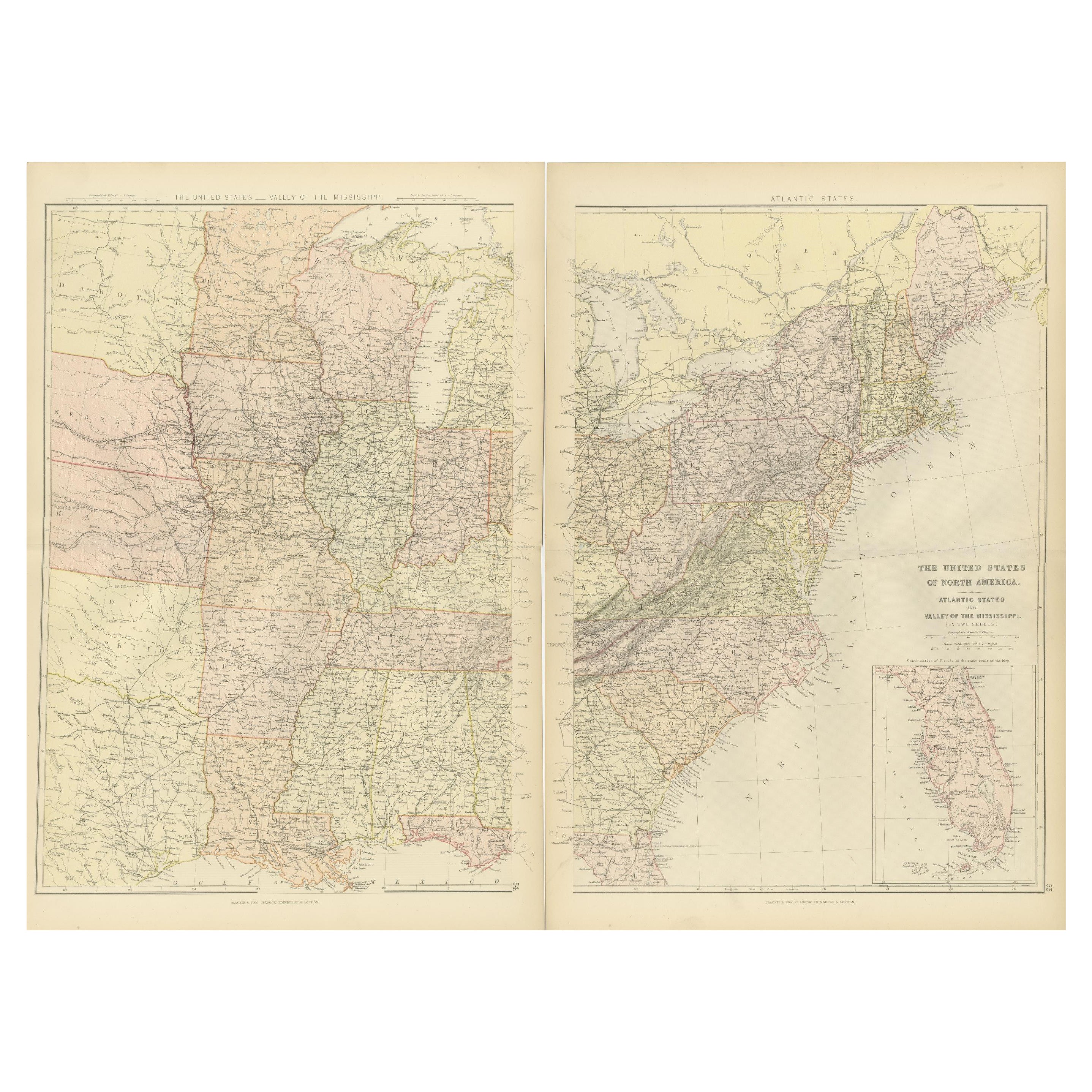
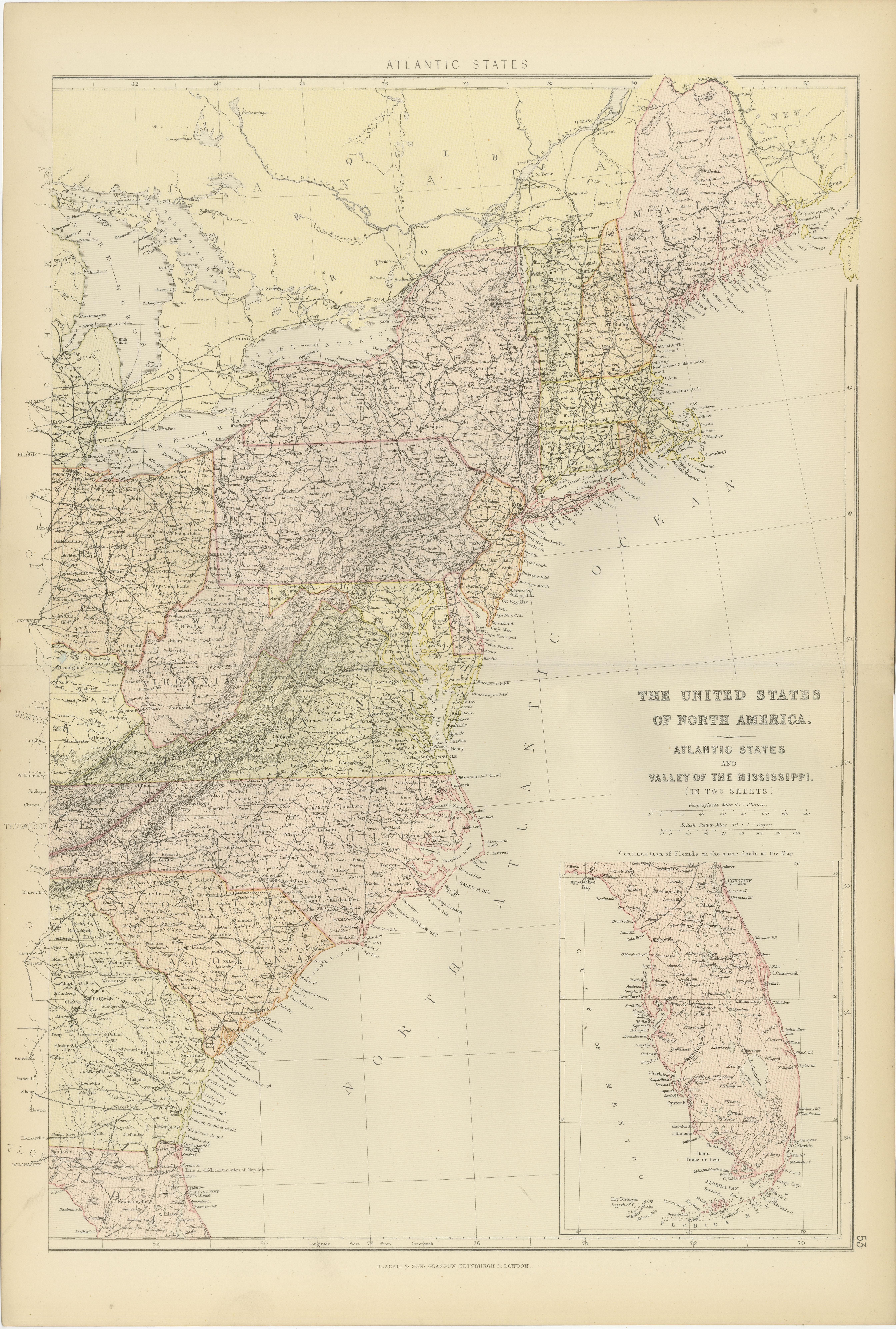
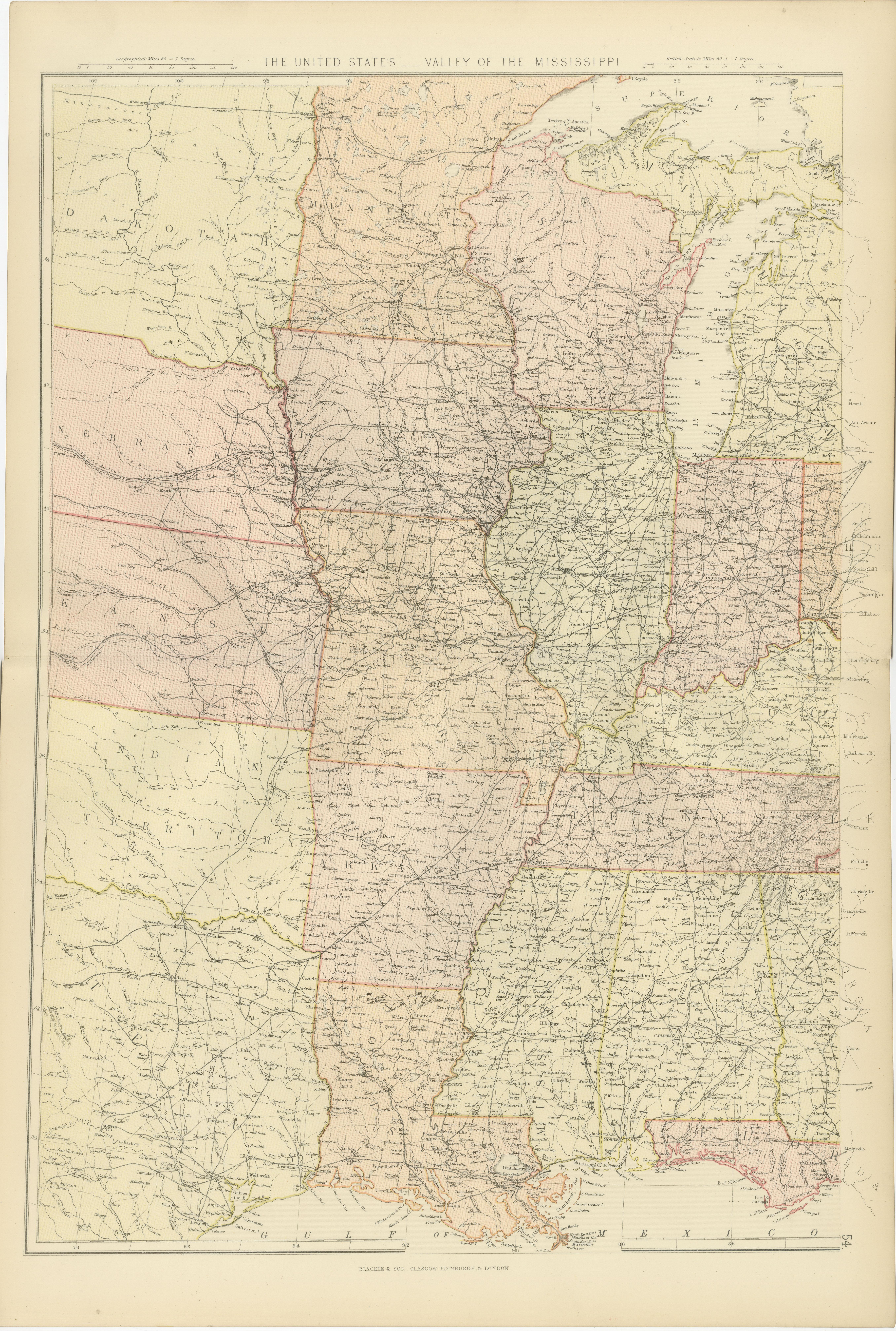
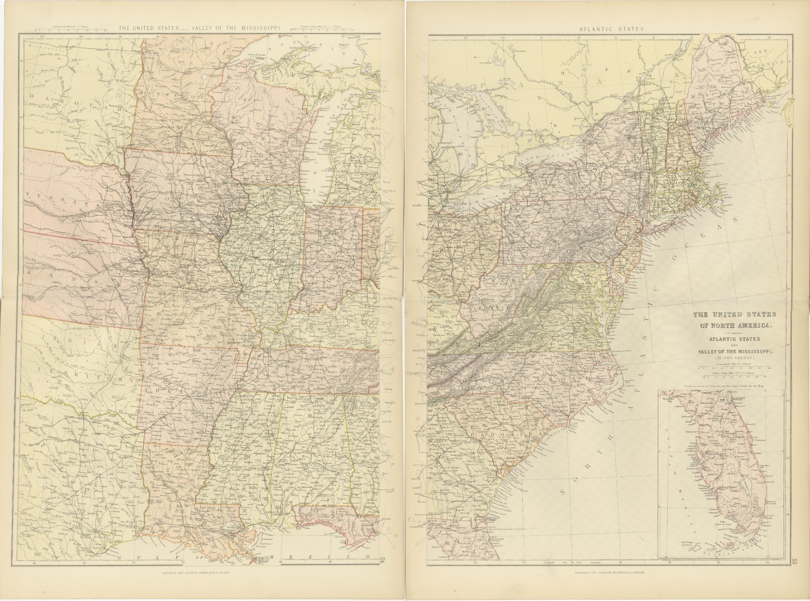
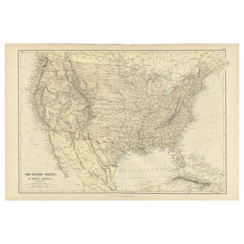
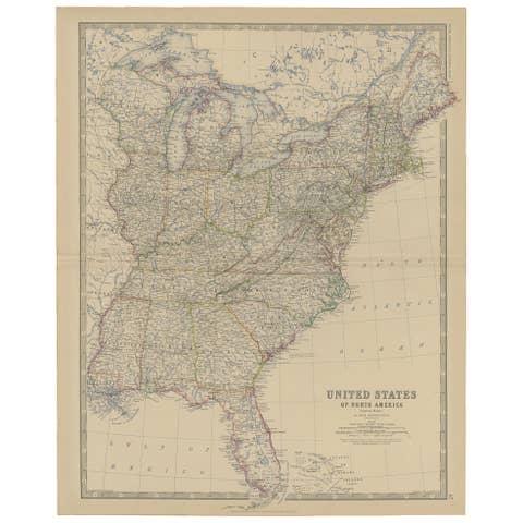
These two maps from the 1882 Blackie Atlas provide a detailed view of the eastern half of the United States, highlighting key geographical, political, and infrastructural features of the region during the late 19th century.
Map 1: Atlantic States This map focuses on the eastern seaboard of the United States, covering Maine in the north to northern Florida in the south and extending westward to include parts of Pennsylvania and Ohio. It showcases major cities, rivers, and railways, illustrating the dense transportation network and urban centers of the Atlantic coast. Coastal ports, such as New York, Boston, and Charleston, are prominently marked, reflecting their importance for trade and shipping. An inset of Florida appears in the bottom right corner, providing additional detail for this less populated region. This area was the industrial and economic heart of the country at the time, with its bustling factories and ports vital to trade and commerce.
Map 2: Valley of the Mississippi This map highlights the central United States, spanning from Minnesota and the Dakotas in the north to Louisiana and Texas in the south, and from the Mississippi River to the Great Plains. The Mississippi River is the central feature, serving as a major transportation and economic lifeline. Railroads crisscross the region, reflecting the expansion of the railway network and connecting cities like Chicago, St. Louis, and New Orleans. States such as Kansas, Nebraska, and Indian Territory (modern-day Oklahoma) reflect the ongoing westward expansion of the nation. This area was vital for agriculture, with the Mississippi River facilitating the movement of goods like cotton, grains, and livestock.
Condition Report Both maps are in good condition for their age. The paper has aged to a warm, creamy tone typical of late 19th-century publications. Edges show minor wear, consistent with their use and age, while the printed text and lines remain crisp and clear. Any fold lines or faint discolorations are typical for maps of this period and do not detract from their overall appearance.
Tips on How to Frame These Two Maps 1. Choose the Right Frame: Use frames with a classic style, such as mahogany or gilded wood, to complement the vintage aesthetic of the maps. Neutral tones also work well to keep the focus on the maps themselves. 2. Protective Materials: Use UV-protective glass to shield the maps from sunlight and prevent fading. Acid-free matting and backing should be used to protect the paper from discoloration over time. 3. Positioning: Display the maps side by side to emphasize their connection. Consider a double-frame design or align them horizontally with consistent spacing. 4. Mounting Options: Float-mounting allows the edges of the maps to be visible, highlighting their original format, while traditional matting can give them a polished, museum-quality appearance. 5. Lighting: Position the framed maps in a space with soft, indirect lighting to avoid glare or damage from direct light.
Properly framed and displayed, these maps will serve as both historical artifacts and striking pieces of wall art.