Antique Map of St. Paul and Minneapolis, The Twin Cities, Rand McNally, 1899
€ 345
Original antique · The actual sheet photographed · Certificate of authenticity on request · Sold unframed · Worldwide shipping from € 15 (rates)
Date
1899
Mapmaker / artist
Rand, McNally & Co.
Publisher
Rand, McNally & Co., Chicago
Technique
Lithograph
Colouring
Printed colour
Condition
Good
Reference
BG-12793-2-48
Condition
Good condition for its age. Light, even age toning, clean margins with minimal handling wear and the original central fold as issued. Please review the images for further condition details.
About this sheet
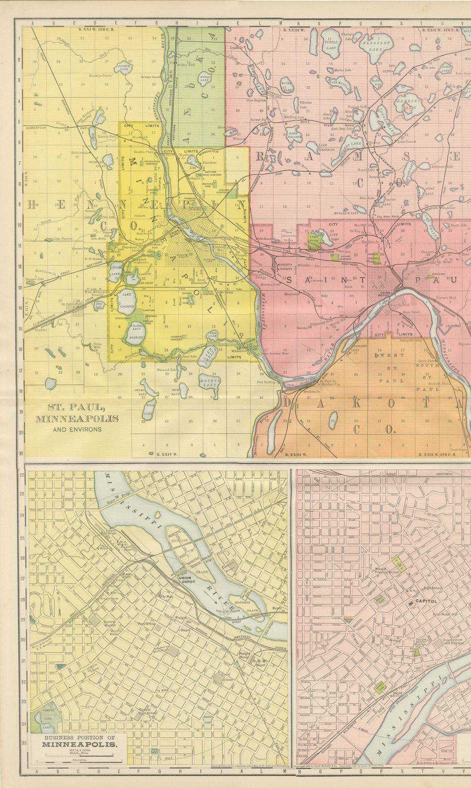
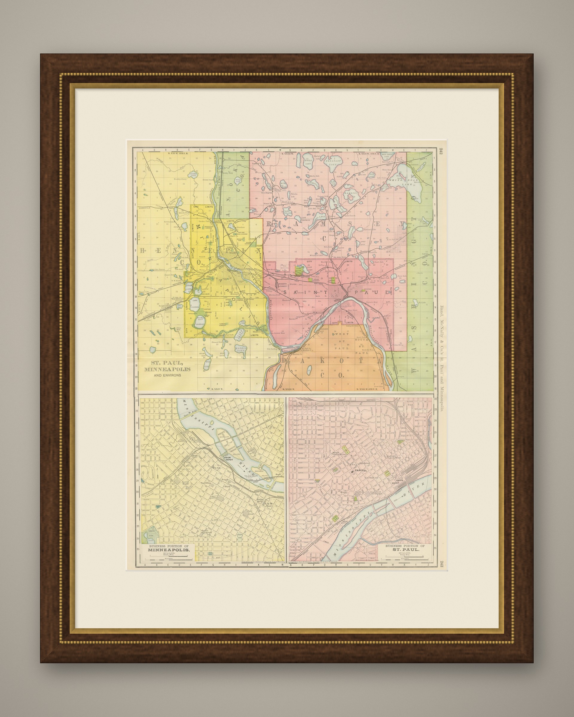
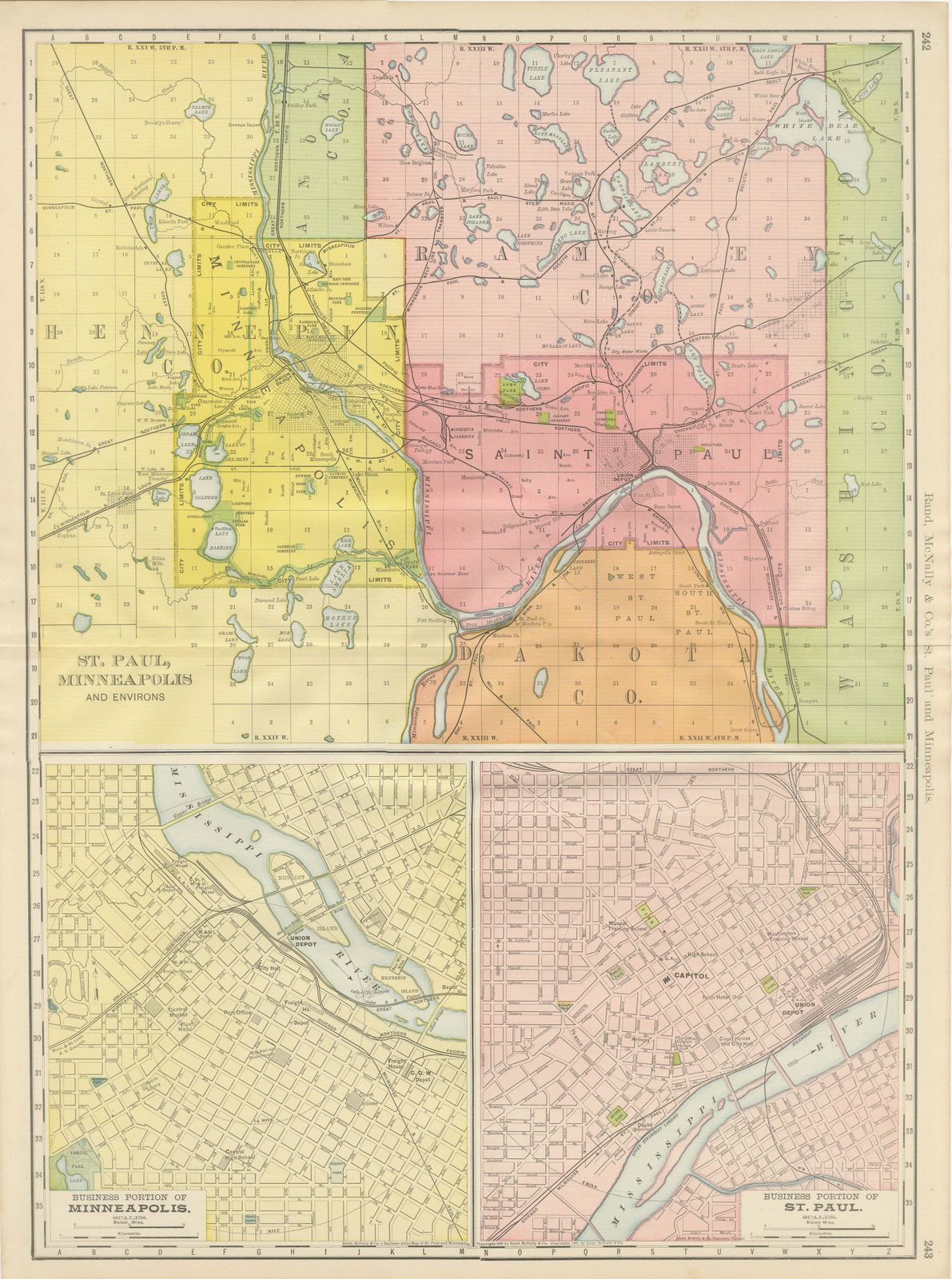
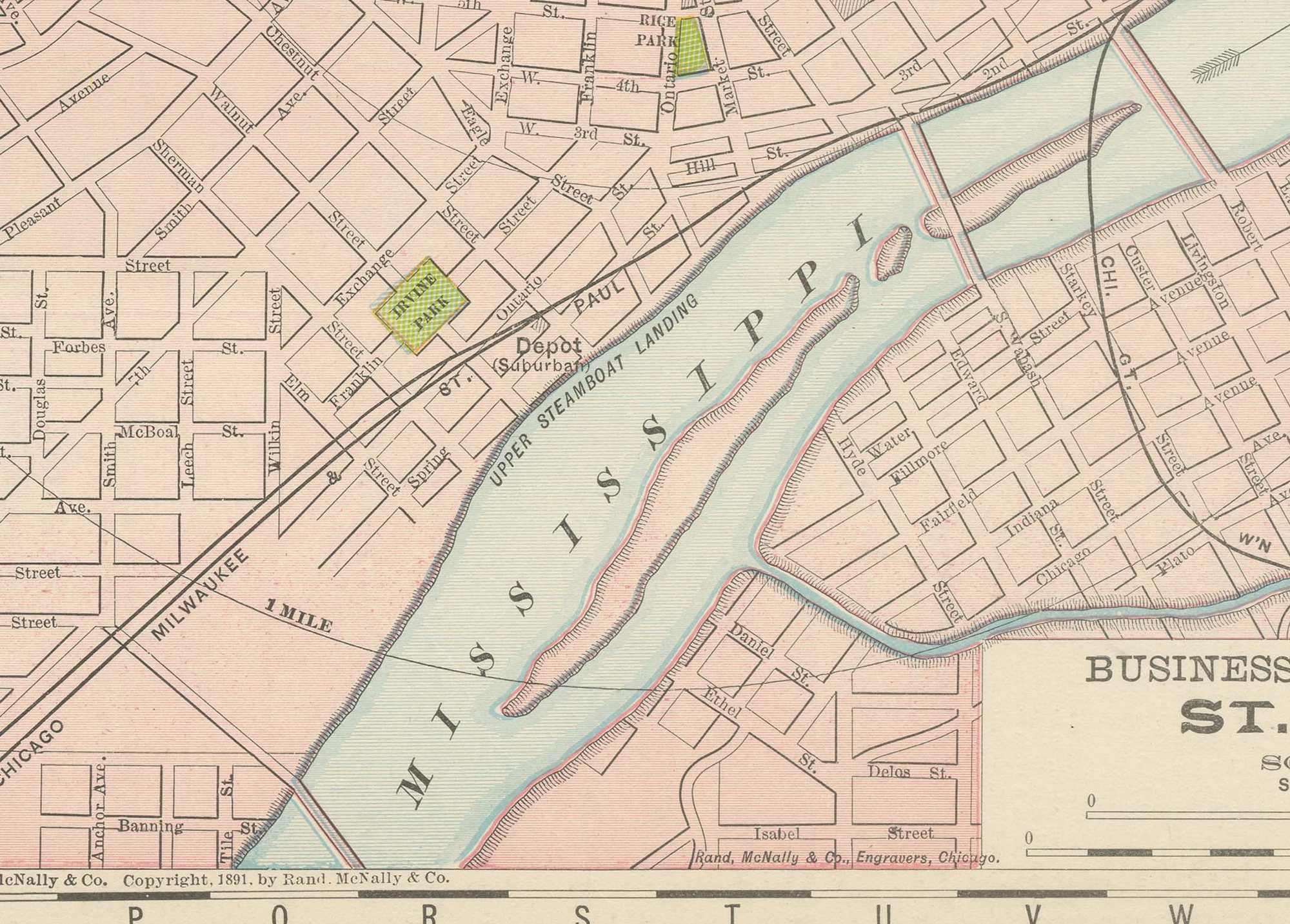
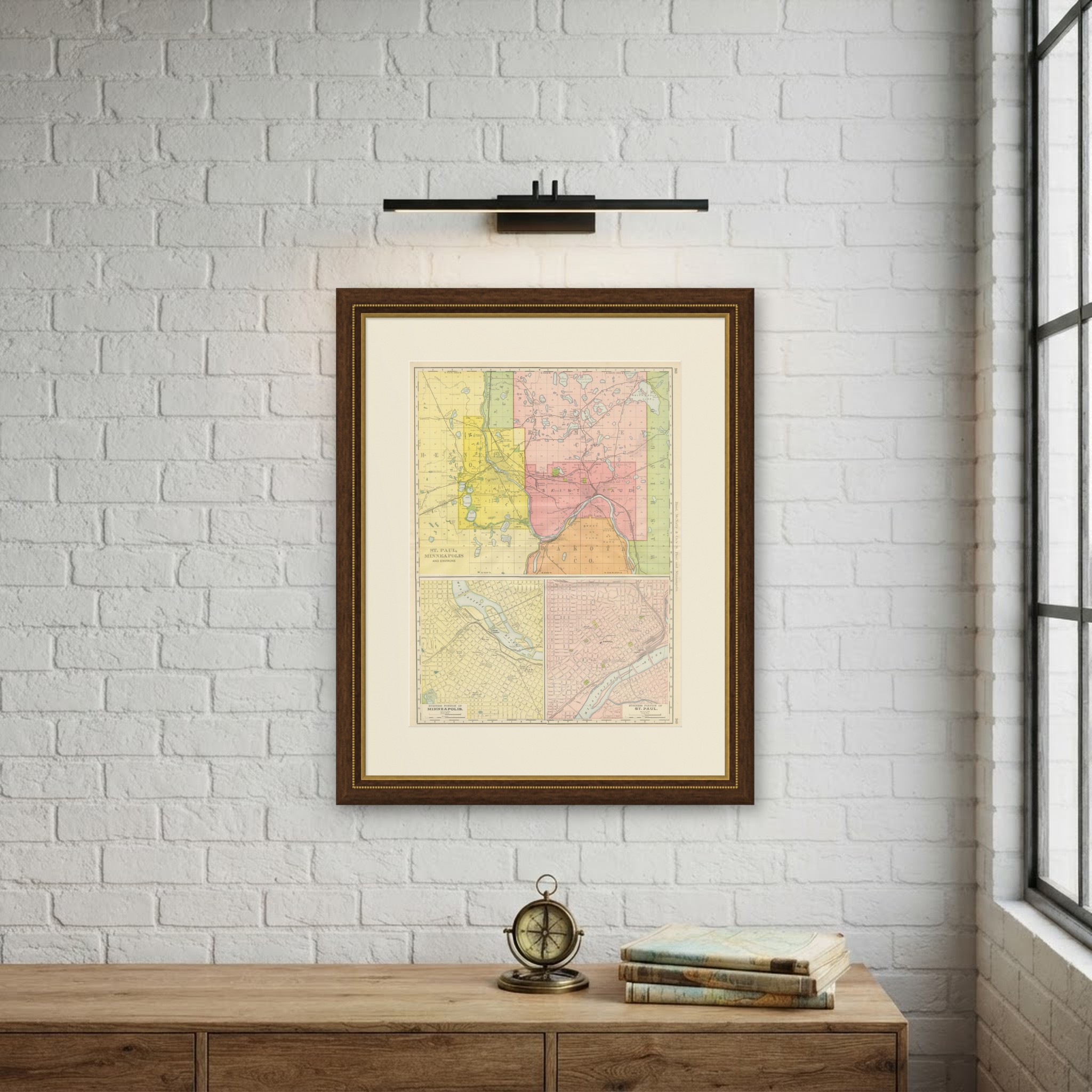
This antique map of Saint Paul and Minneapolis was published by Rand McNally in Chicago in 1899, a combined plan of the Twin Cities printed across pages 242 and 243 of the firm's indexed atlas. Minneapolis is washed yellow to the west and Saint Paul pink to the east, the two separated by, and both fronting on, the Mississippi River, which loops through the centre of the sheet.
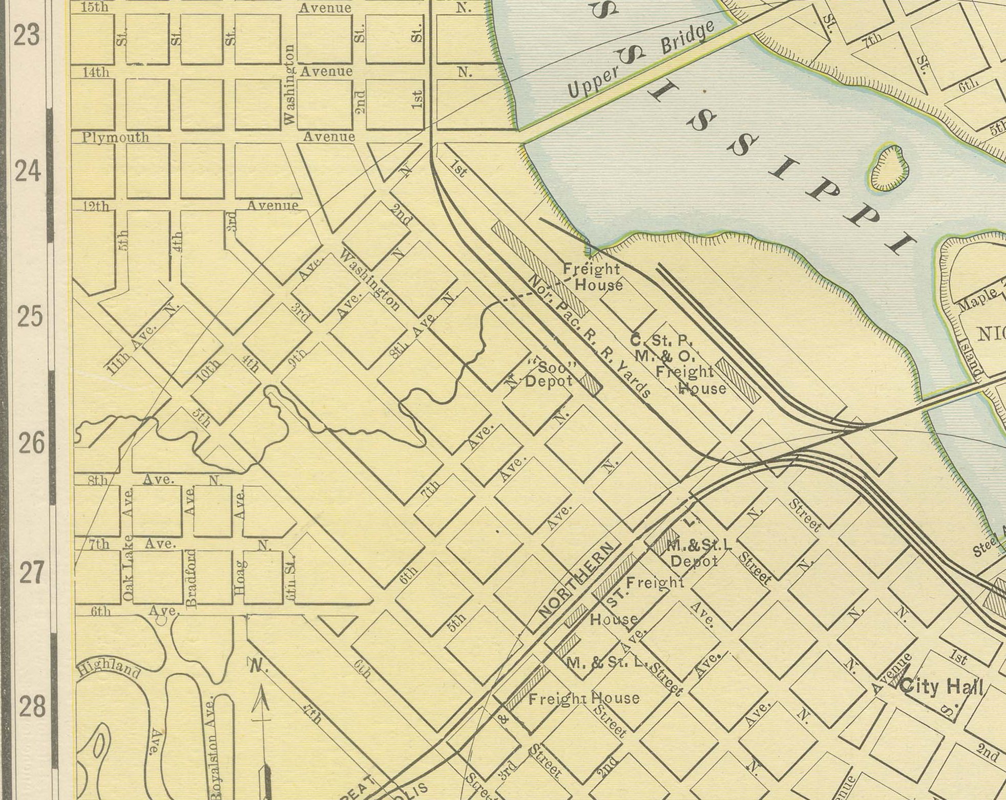
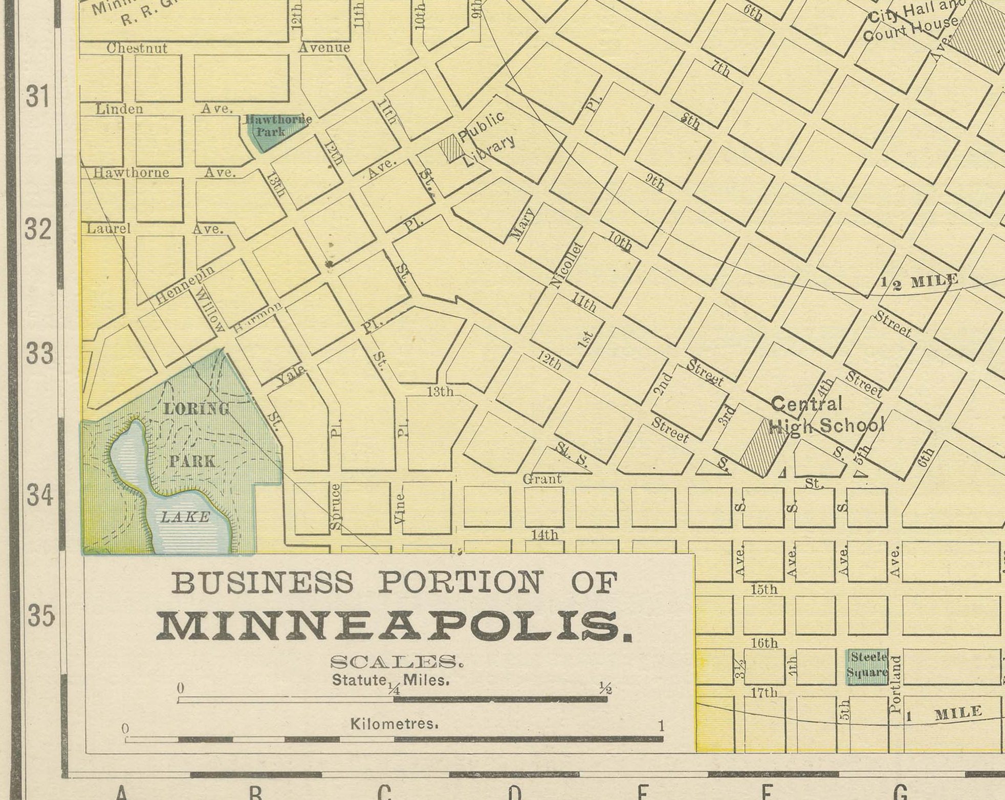
Ramsey County, containing Saint Paul, and Hennepin County, containing Minneapolis, are both mapped out to their full township grid, dotted with the many small glacial lakes that give the area its distinctive character: Lake Minnetonka is partly visible at the far west edge, and Lake Harriet, Lake Calhoun and Lake of the Isles lie within Minneapolis itself. Two boxed insets at the foot of the sheet, "Business Portion of Minneapolis" and "Business Portion of Saint Paul," zoom into each downtown core at an enlarged scale, showing the Union Depots, the State Capitol grounds in Saint Paul and the milling district along Saint Anthony Falls in Minneapolis in far more street-level detail than the main map allows.
Scale is given in statute miles and kilometres, with a separate scale bar for each inset. As a large-scale metropolitan plan the sheet carries no railroad colour key; its interest lies in showing two rival cities, each with its own street grid and civic core, mapped together as a single expanding metropolitan area at the close of the 1890s.
Rand McNally grew from a Chicago printing business started in the 1850s by William Rand, later joined by Andrew McNally, and by the 1890s it was one of the leading map publishers in the United States. This antique map of Saint Paul and Minneapolis is a colour lithograph, the outline printed in black with the colours printed over it. It is an original 1899 atlas sheet, issued folded through the centre, and it is well suited to framing. The colour is printed rather than applied by hand.
The sheet is in good condition for its age, with light, even age toning, clean margins with minimal handling wear and the original central fold as issued. Please review the images for further condition details.
This is an original antique map, not a modern reproduction. This item is sold unframed. Any framed or interior images are shown for presentation and inspiration only, unless the listing explicitly states that the item is sold framed.