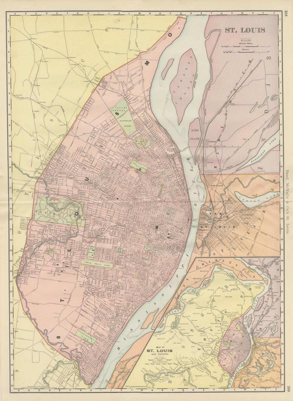
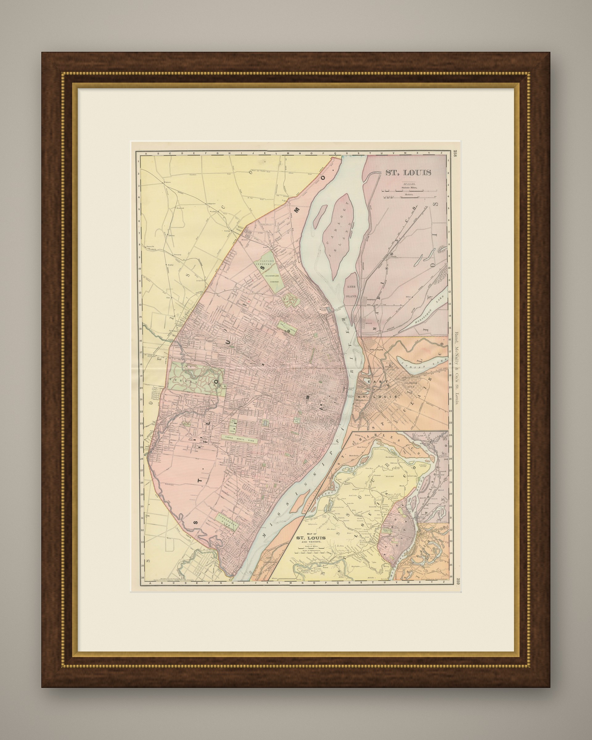
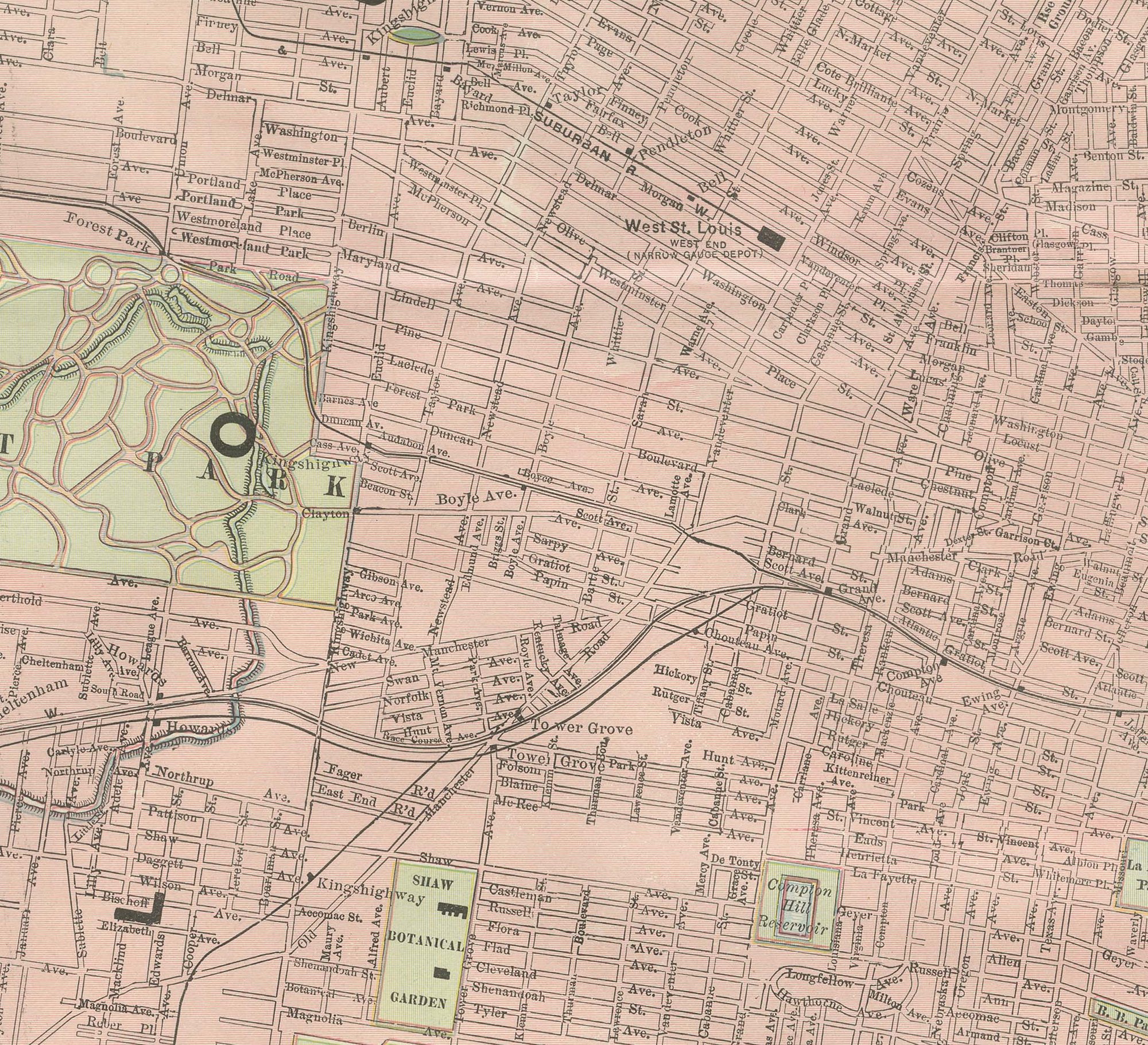
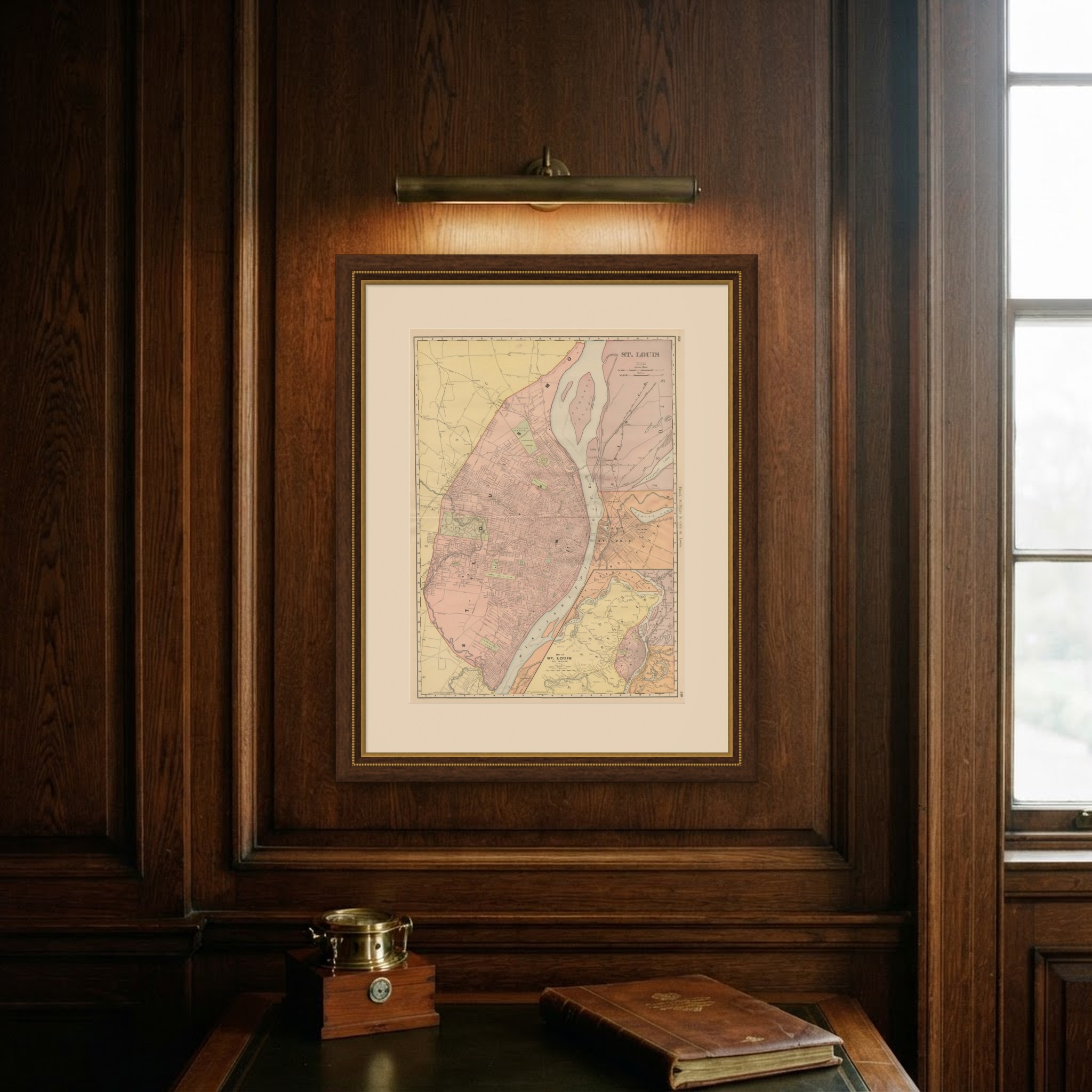
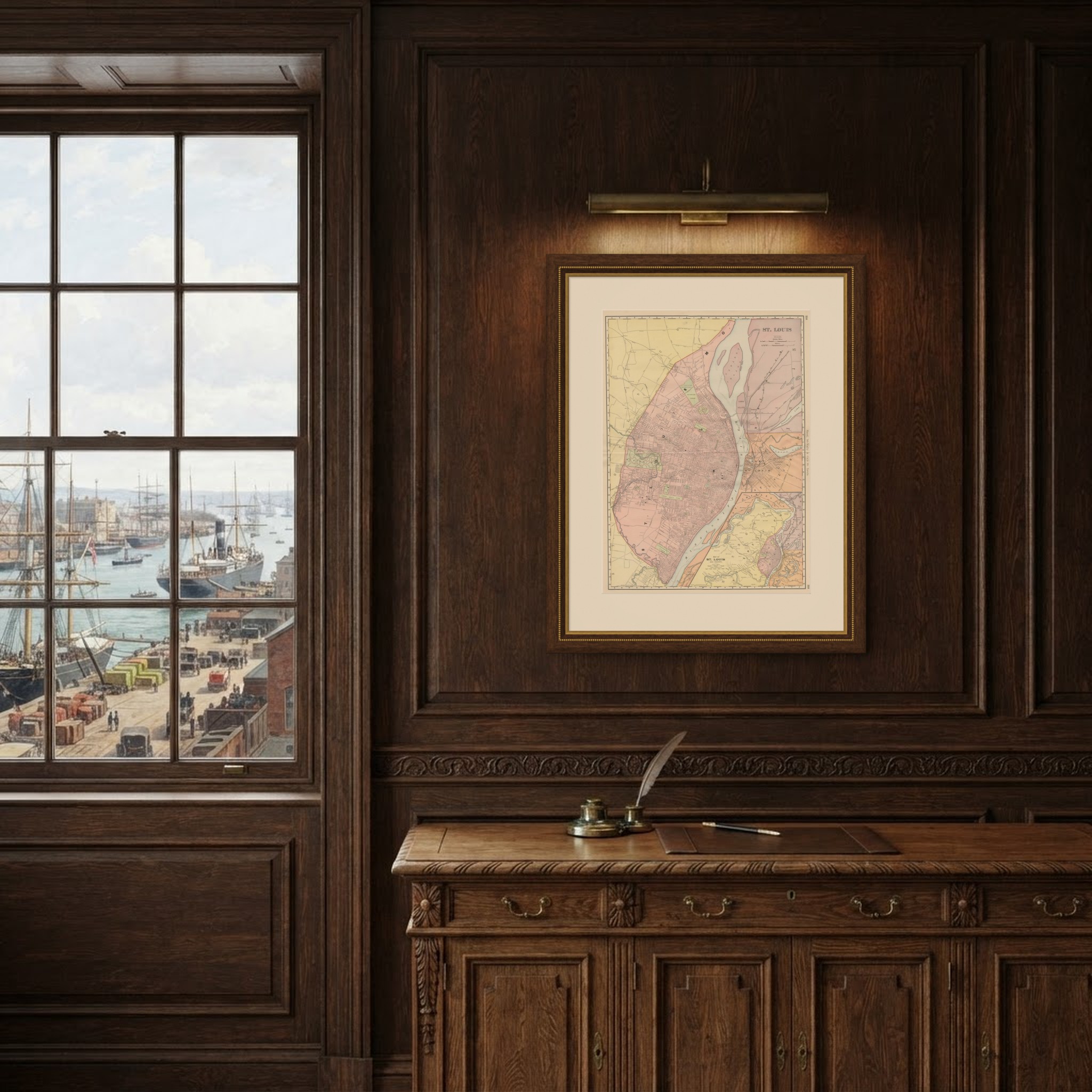
Antique Map of St. Louis, with Forest Park, Rand McNally, 1899
€ 395
Original antique · The actual sheet photographed · Certificate of authenticity on request · Sold unframed · Worldwide shipping from € 15 (rates)
Date
1899
Mapmaker / artist
Rand, McNally & Co.
Publisher
Rand, McNally & Co., Chicago
Technique
Lithograph
Colouring
Printed colour
Condition
Good
Reference
BG-12793-2-51
Condition
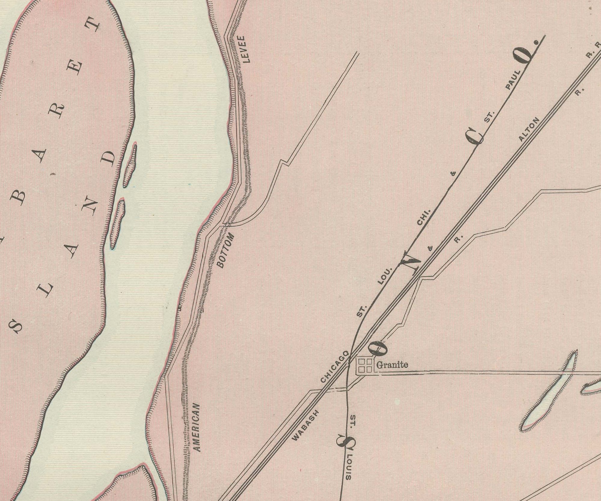
Good condition for its age. Light, even age toning, clean margins and the original central fold as issued. Please review the images for further condition details.
About this sheet
Printed by Rand McNally in Chicago for the 1899 indexed atlas, this antique map of Saint Louis is a large street plan printed across pages 258 and 259, running along the west bank of the Mississippi River from the northern city limit near Calvary and Bellefontaine Cemeteries, down through Forest Park, shown in green at the centre-west of the sheet, to the southern limit near Carondelet Park. Across the river, East Saint Louis, Illinois, is mapped in a contrasting orange tint, with the Merchants Bridge, the Eads Bridge and the railroad terminals connecting the two banks all named, and Cabaret Island and Kerr Island shown as long, narrow wooded islands in the main channel.
A boxed inset at lower right, "Map of Saint Louis and Vicinity," pulls back to show the wider metropolitan area, including Saint Charles, the American Bottom lowland across the river in Illinois and the extended street grid of East Saint Louis, giving regional context the main plan's scale cannot. Tower Grove Park and Compton Hill Park, along with the smaller neighbourhood parks scattered through the city, are picked out in green.
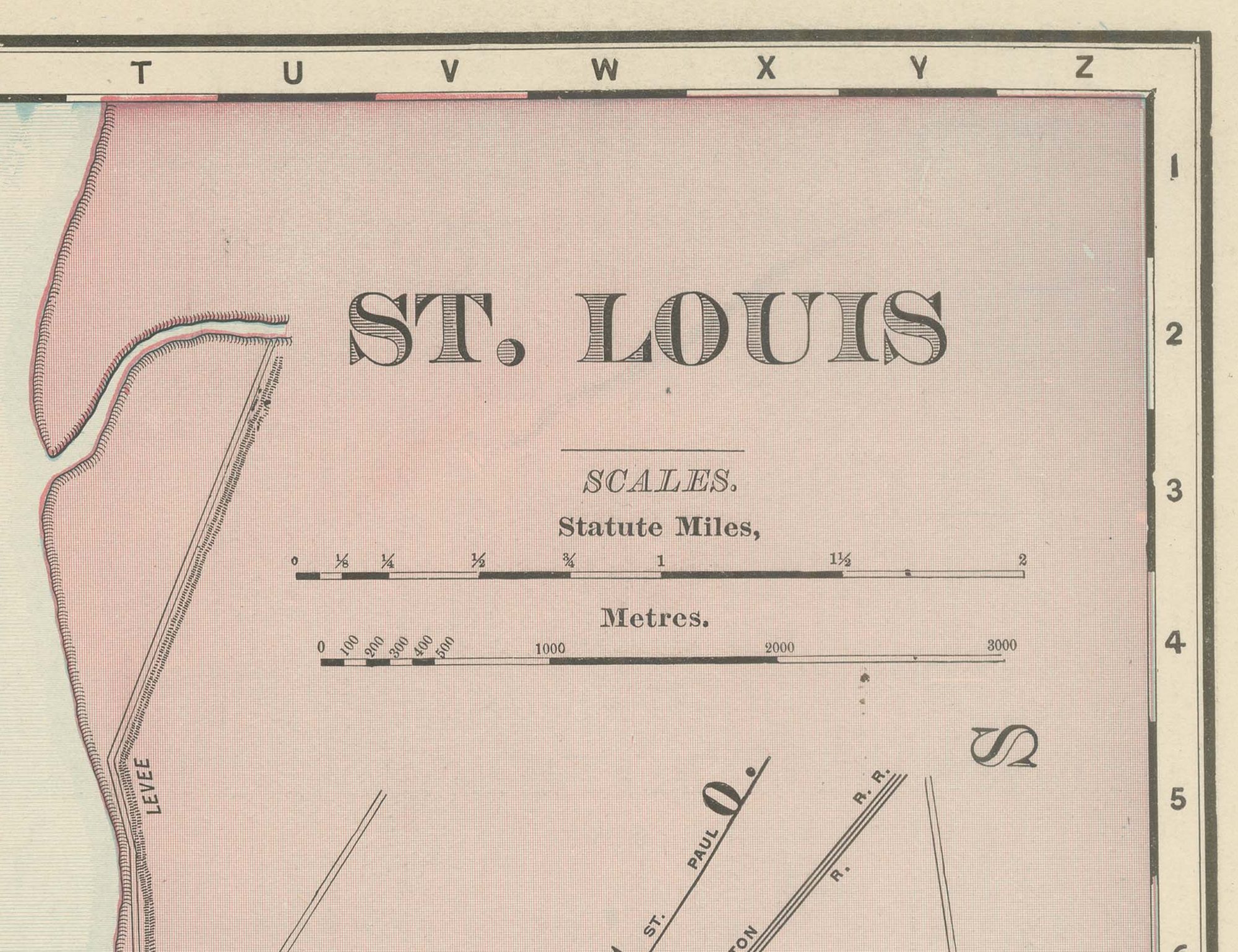
Scale is given in statute miles and metres at upper right. As a large-scale city plan the sheet carries no railroad colour key beyond the depot and terminal detail already shown; its interest lies in the street-by-street record of a major Mississippi River port and rail hub, the fourth-largest city in the United States at the time, on the eve of the 1904 World's Fair that would bring it its greatest civic attention.
Rand McNally grew from a Chicago printing business started by William Rand in the 1850s and joined by Andrew McNally, and by the 1890s it ranked among the leading American map publishers. This antique map of Saint Louis is an original 1899 atlas sheet, printed as a colour lithograph with a black outline and the colours printed over it, and issued folded through the centre. It is suitable for framing. The colour is printed rather than applied by hand.
The sheet is in good condition for its age, with light, even age toning, clean margins and the original central fold as issued. Please review the images for further condition details.
This is an original antique map, not a modern reproduction. This item is sold unframed. Any framed or interior images are shown for presentation and inspiration only, unless the listing explicitly states that the item is sold framed.