Antique Map of South Carolina, The Palmetto State, Rand McNally, 1899
€ 395
Original antique · The actual sheet photographed · Certificate of authenticity on request · Sold unframed · Worldwide shipping from € 15 (rates)
Date
1899
Mapmaker / artist
Rand, McNally & Co.
Publisher
Rand, McNally & Co., Chicago
Technique
Lithograph
Colouring
Printed colour
Condition
Good
Reference
BG-12793-2-26
Condition
Good condition for its age. Light, even age toning, minor handling wear to the sheet edges and the original central fold as issued. Please review the images for further condition details.
About this sheet
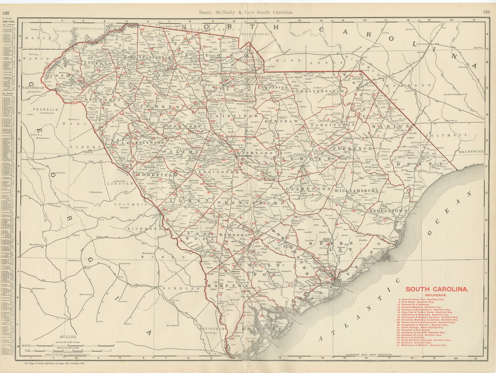
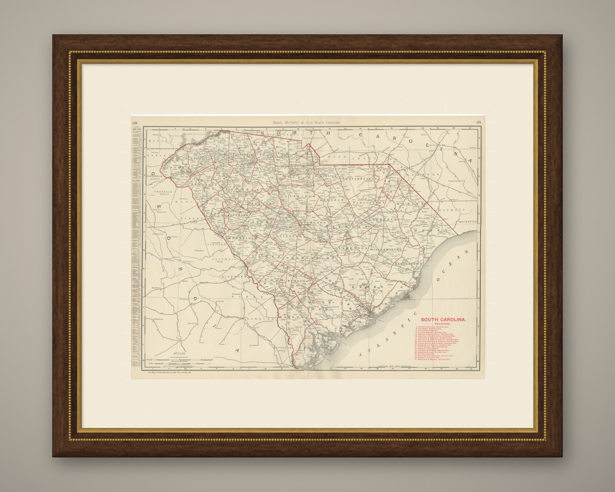
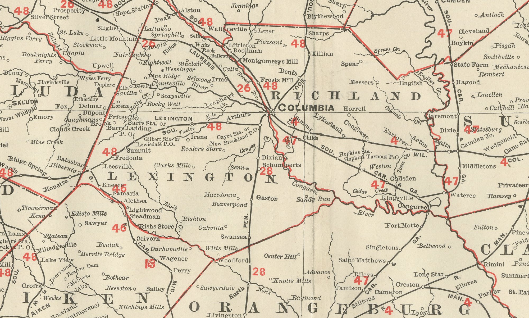
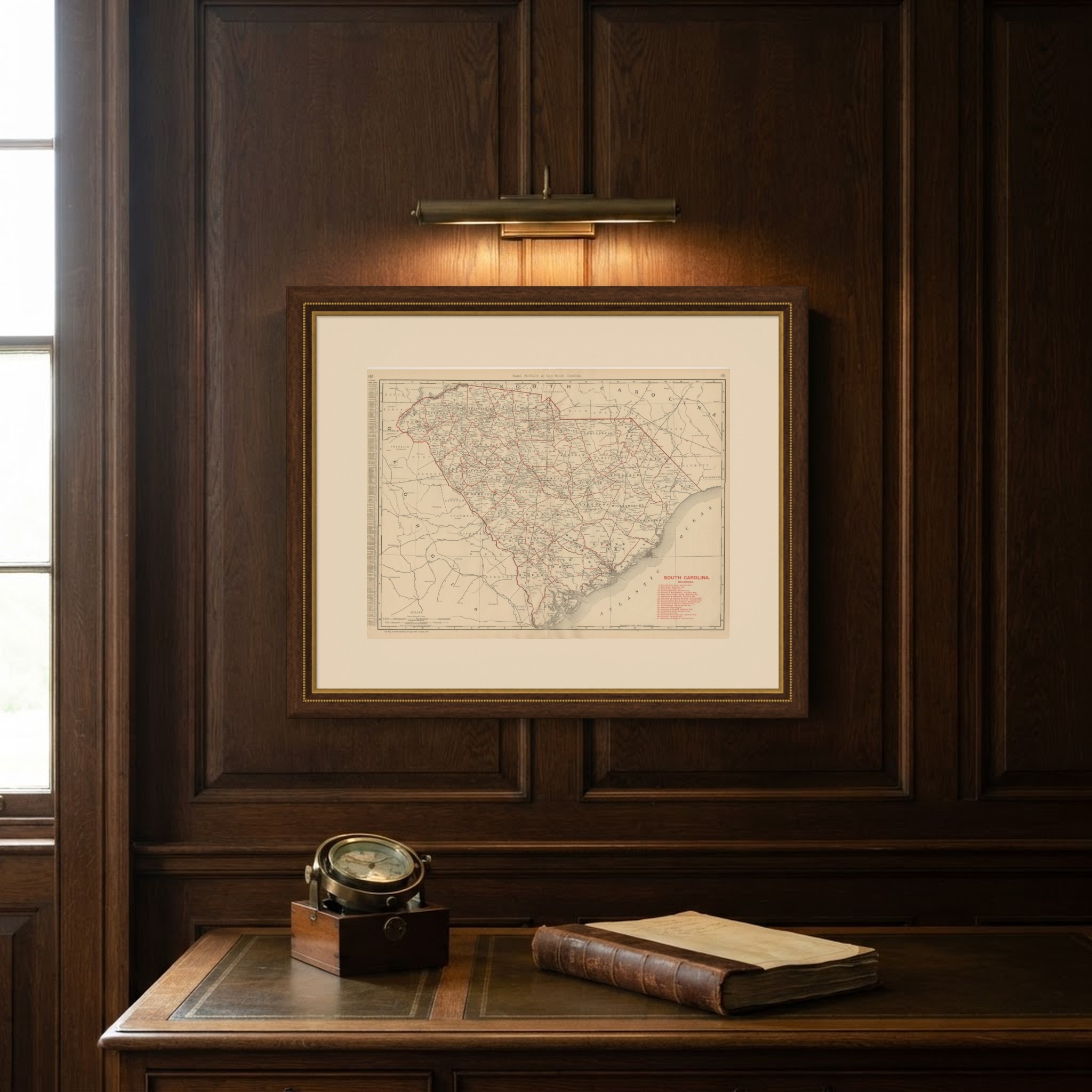
Every county is named and coloured on this antique map of South Carolina, published by Rand McNally in 1899 in its indexed atlas, with Columbia marked at the centre as capital and Charleston on its harbour at the coast.
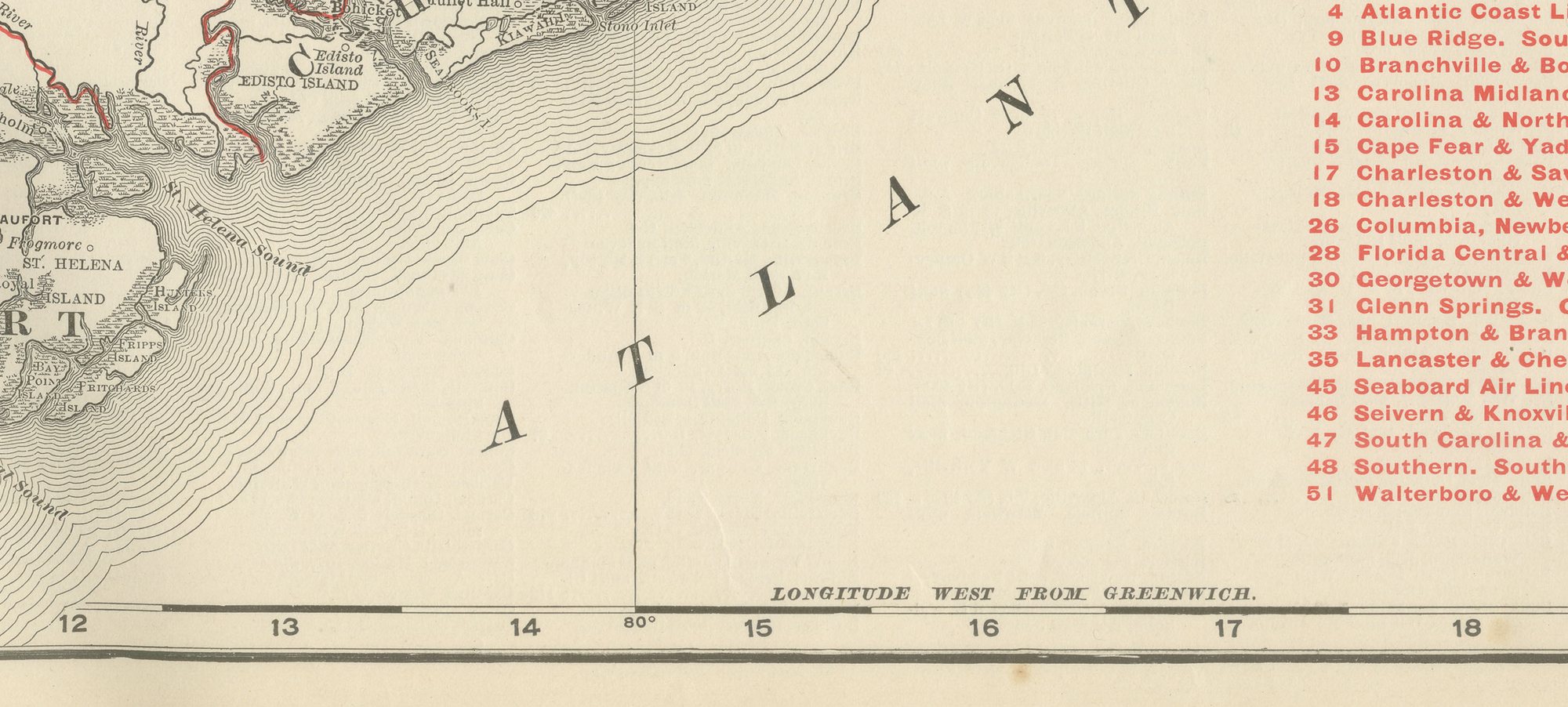
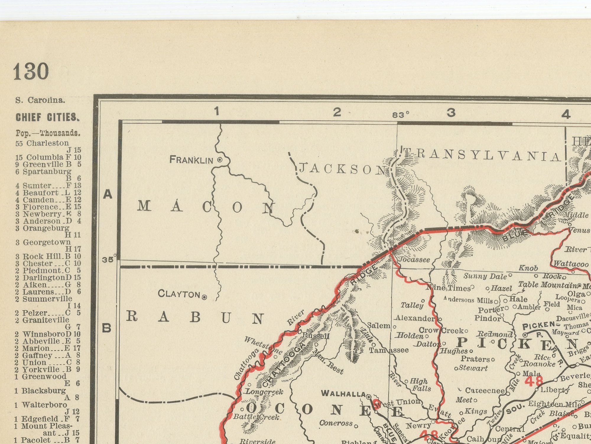
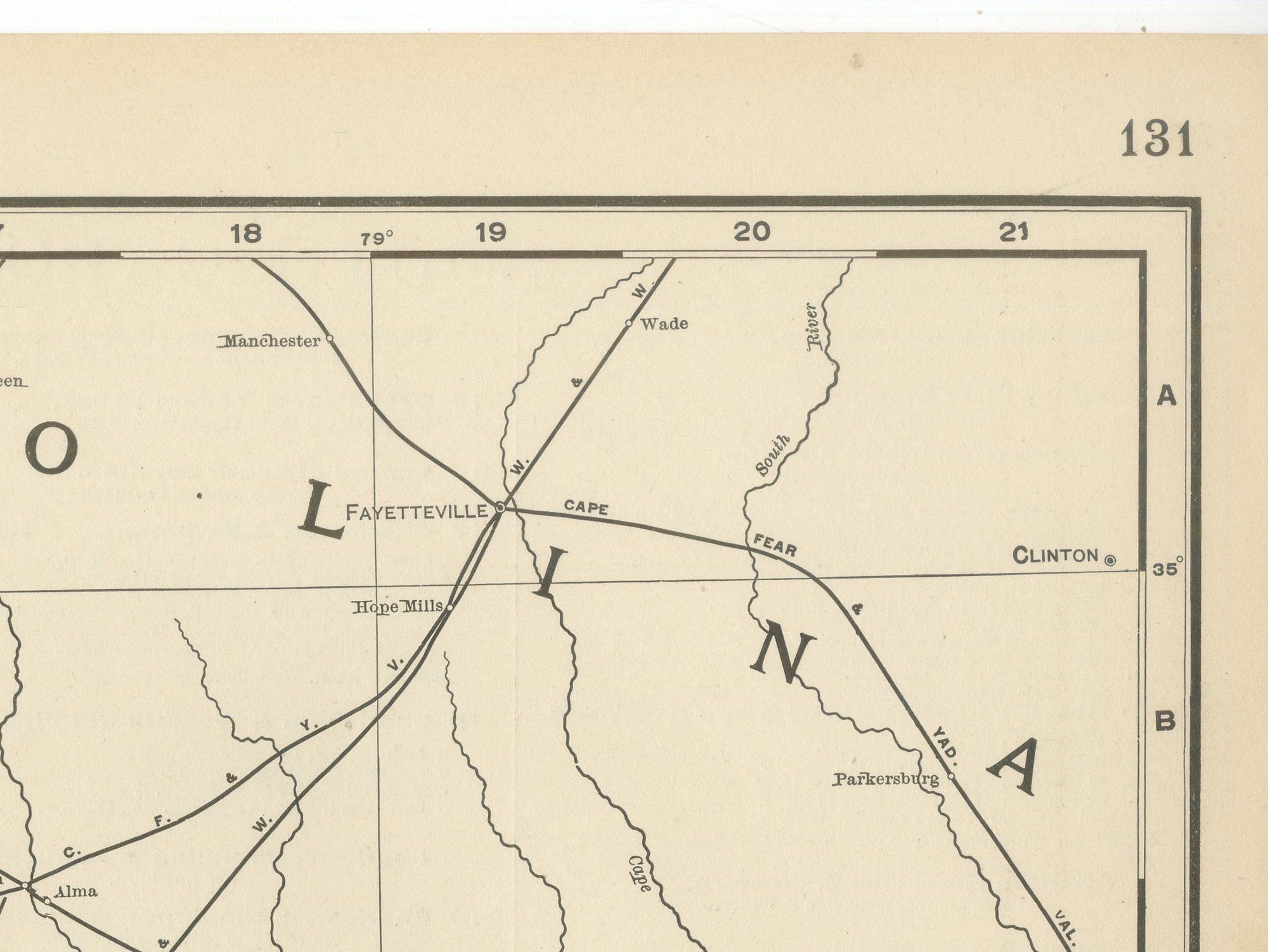
Charleston's peninsula between the Ashley and Cooper rivers is shown at the small scale the state plate allows. The Atlantic coastline runs in a shallow crescent along the bottom of the sheet, broken by the sounds and sea islands of the low country, while the upstate counties towards the Blue Ridge foothills in the northwest are drawn with the same county-by-county detail as the coastal plain.
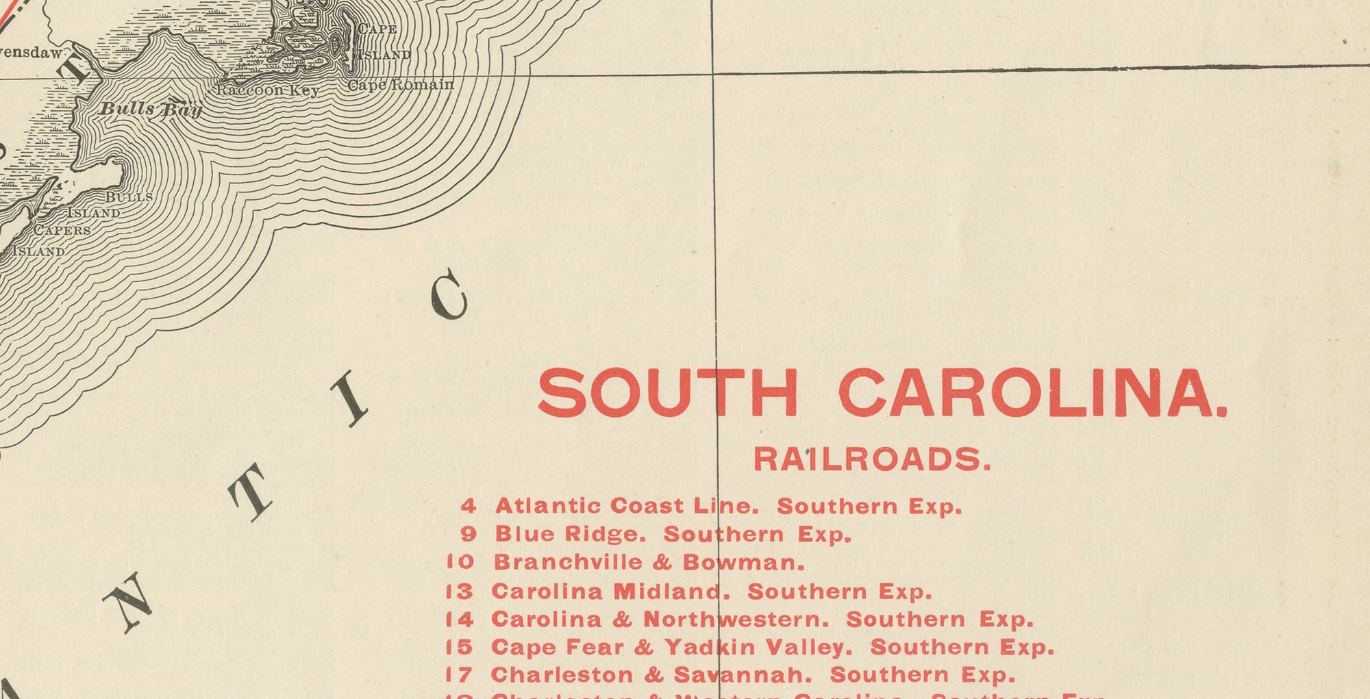
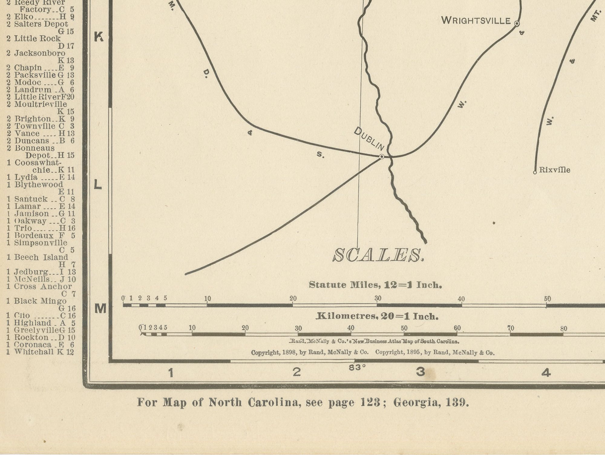
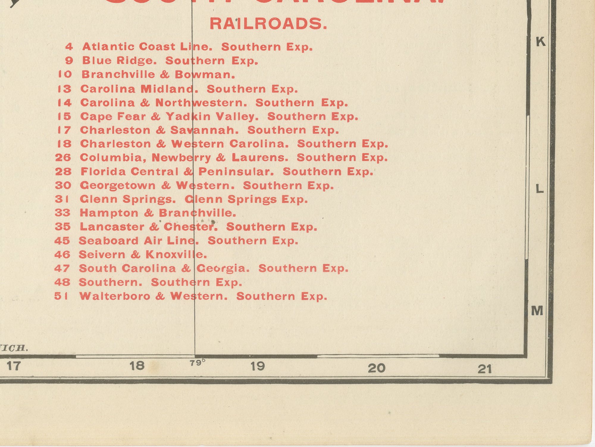
A numbered key to roughly fifty railroad companies occupies part of the margin, matching a network that by the 1890s reached deep into the cotton-growing interior as well as the coastal ports, each line keyed by number to its operating company and printed in pink. County lines are printed in red over the pastel tints separating one county from the next, the convention used across the state plates of the atlas. A scale bar and the atlas's running page numbers appear in the lower margin, linking the sheet to the adjoining plates for North Carolina and Georgia.
The publisher, Rand, McNally and Company of Chicago, began as a printing business founded by William Rand in the 1850s and joined by Andrew McNally. By the time of the 1899 indexed atlas it ranked among the leading American map publishers, known above all for railroad and commercial maps that were revised from one issue to the next.
The sheet is a colour lithograph, the outline printed in black and every colour printed over it rather than applied by hand. Once framed, this antique map of South Carolina would suit a home or office in the state today, and it will appeal to collectors of American state maps and railroad history.
The sheet is in good condition for its age, with light, even age toning, minor handling wear to the sheet edges and the original central fold as issued. Please review the images for further condition details.
This is an original antique map, not a modern reproduction. This item is sold unframed. Any framed or interior images are shown for presentation and inspiration only, unless the listing explicitly states that the item is sold framed.