About this sheet
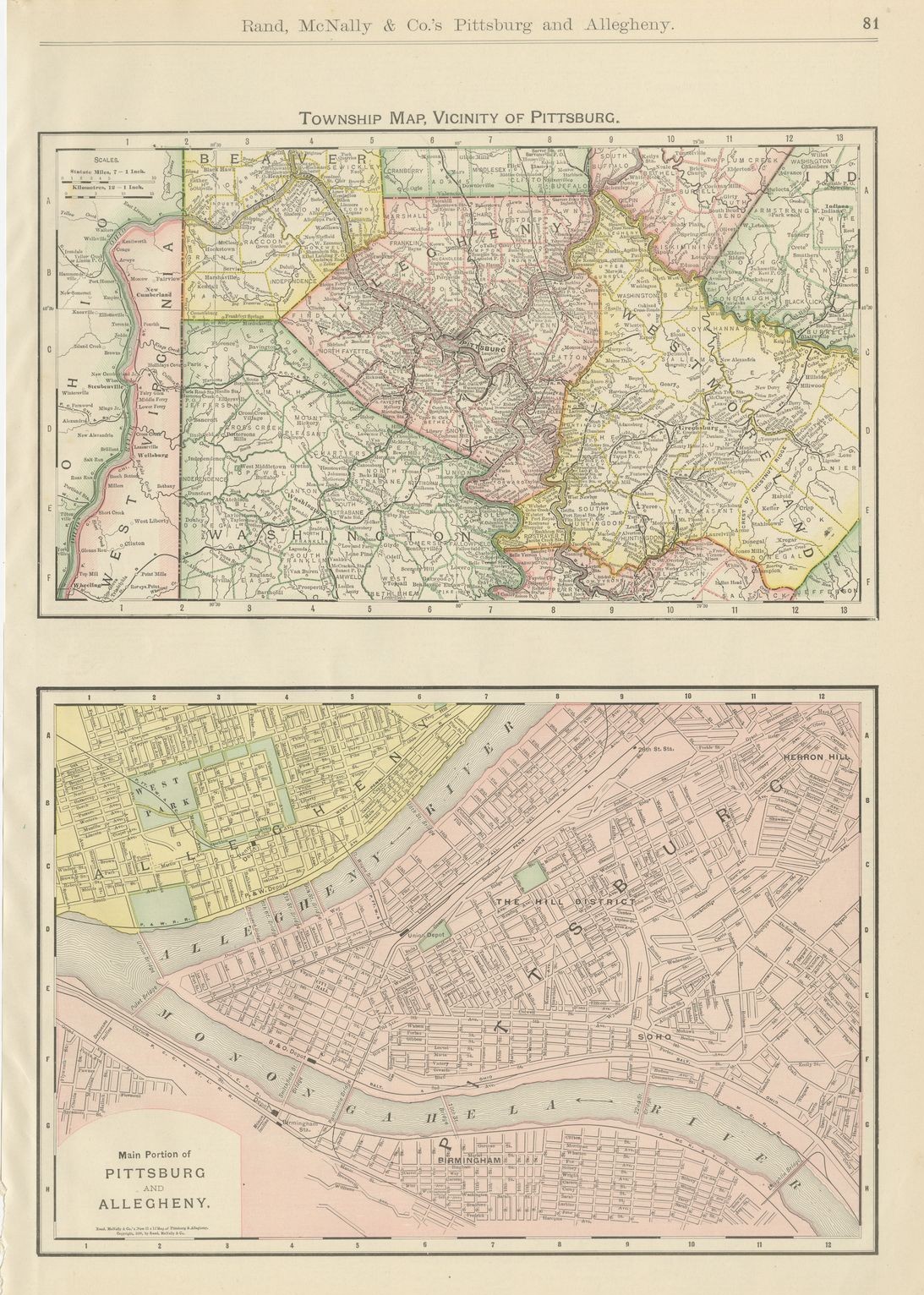
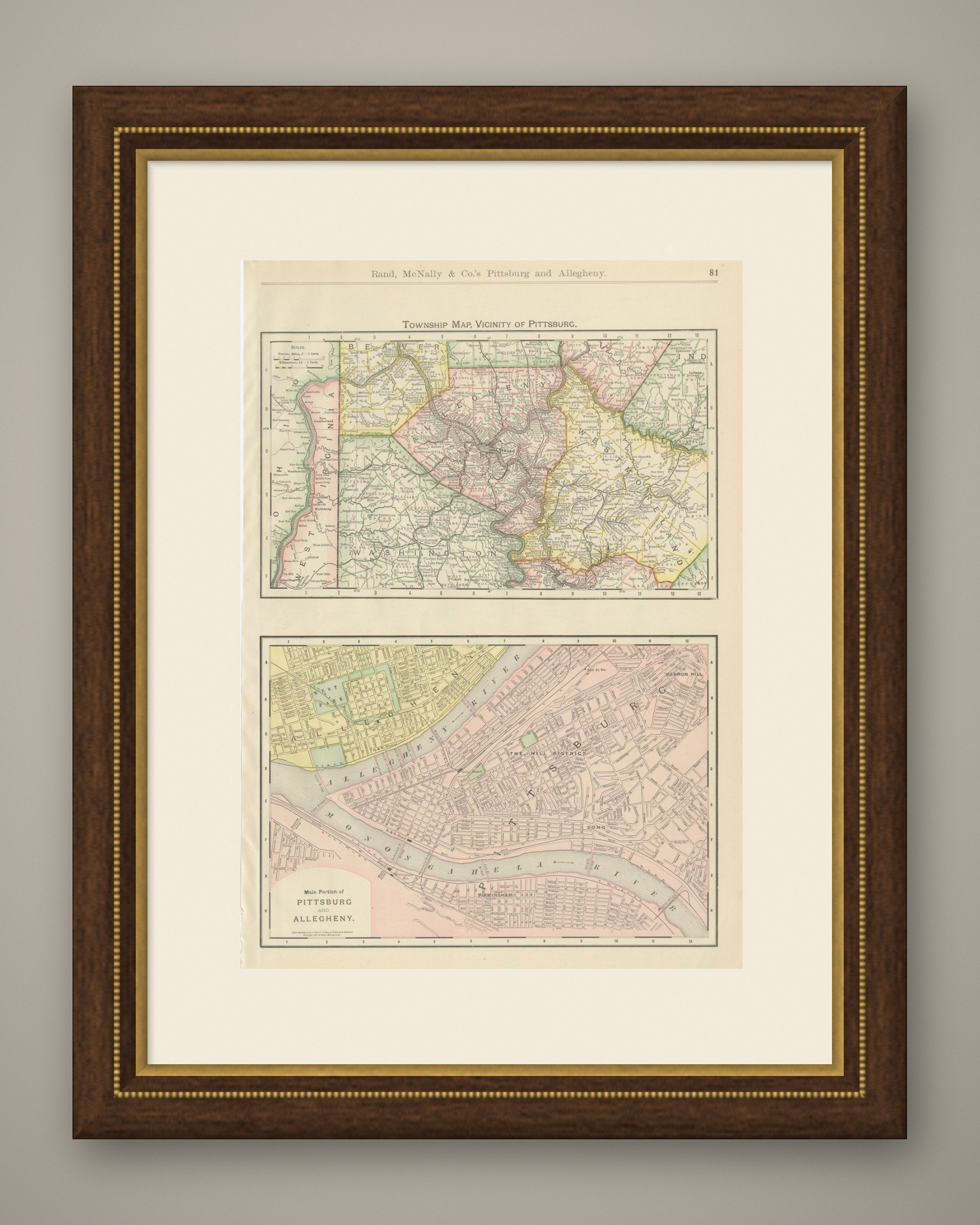
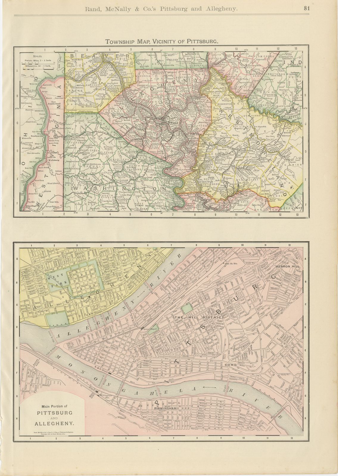
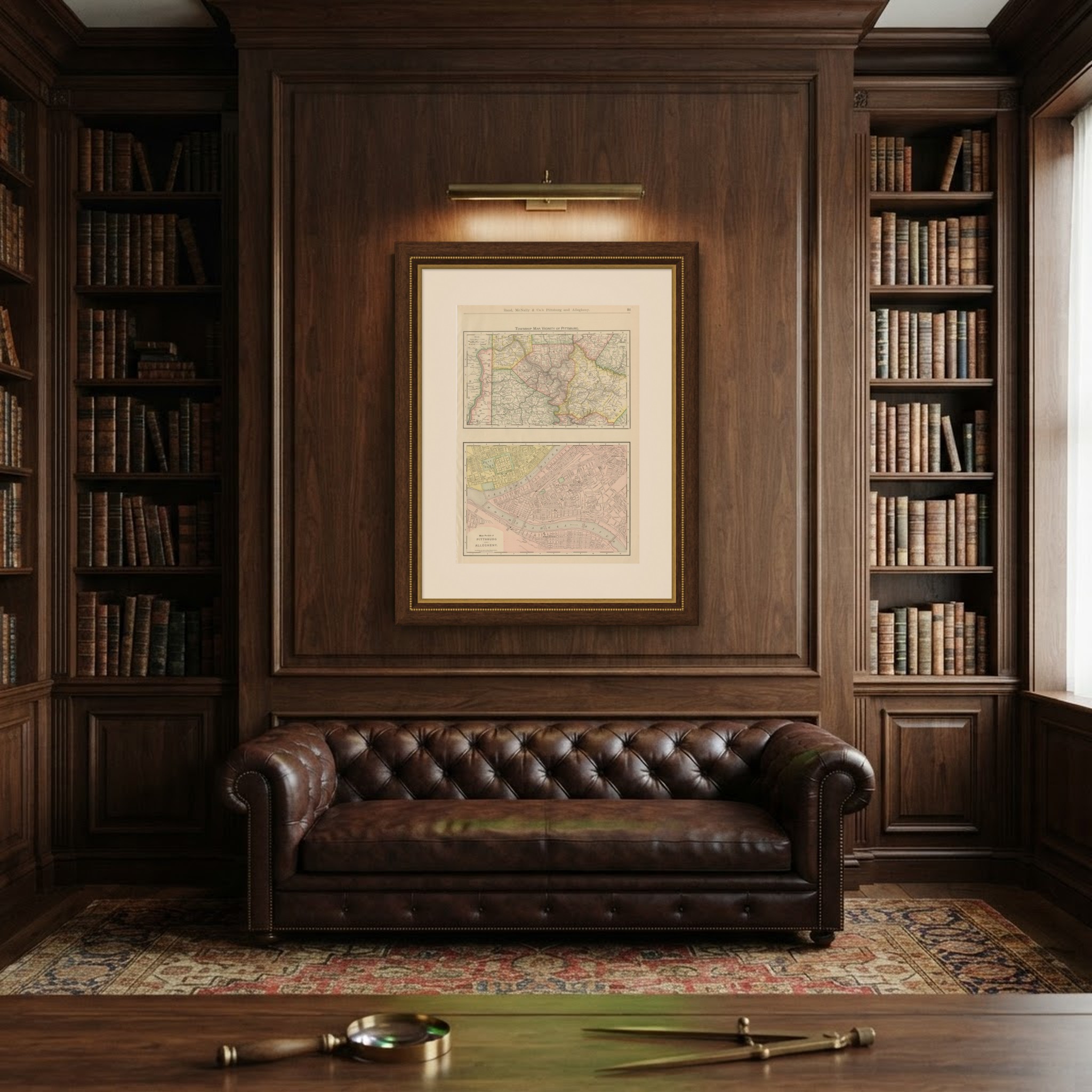
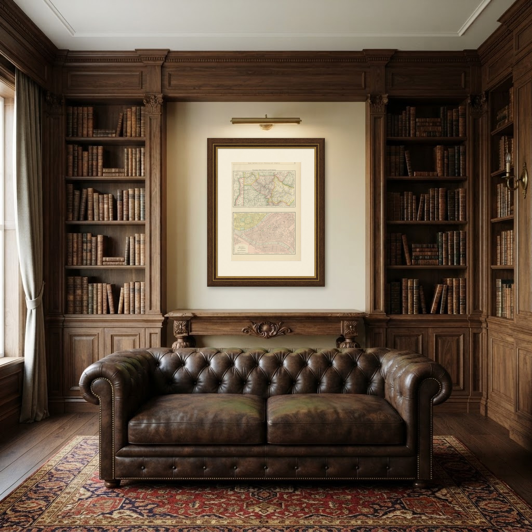
On page 81 of its 1899 indexed atlas, Rand McNally set two maps on one sheet for this antique map of Pittsburgh and Allegheny: a township map of the surrounding county above and a street plan of the city below, both using the period spelling "Pittsburg".
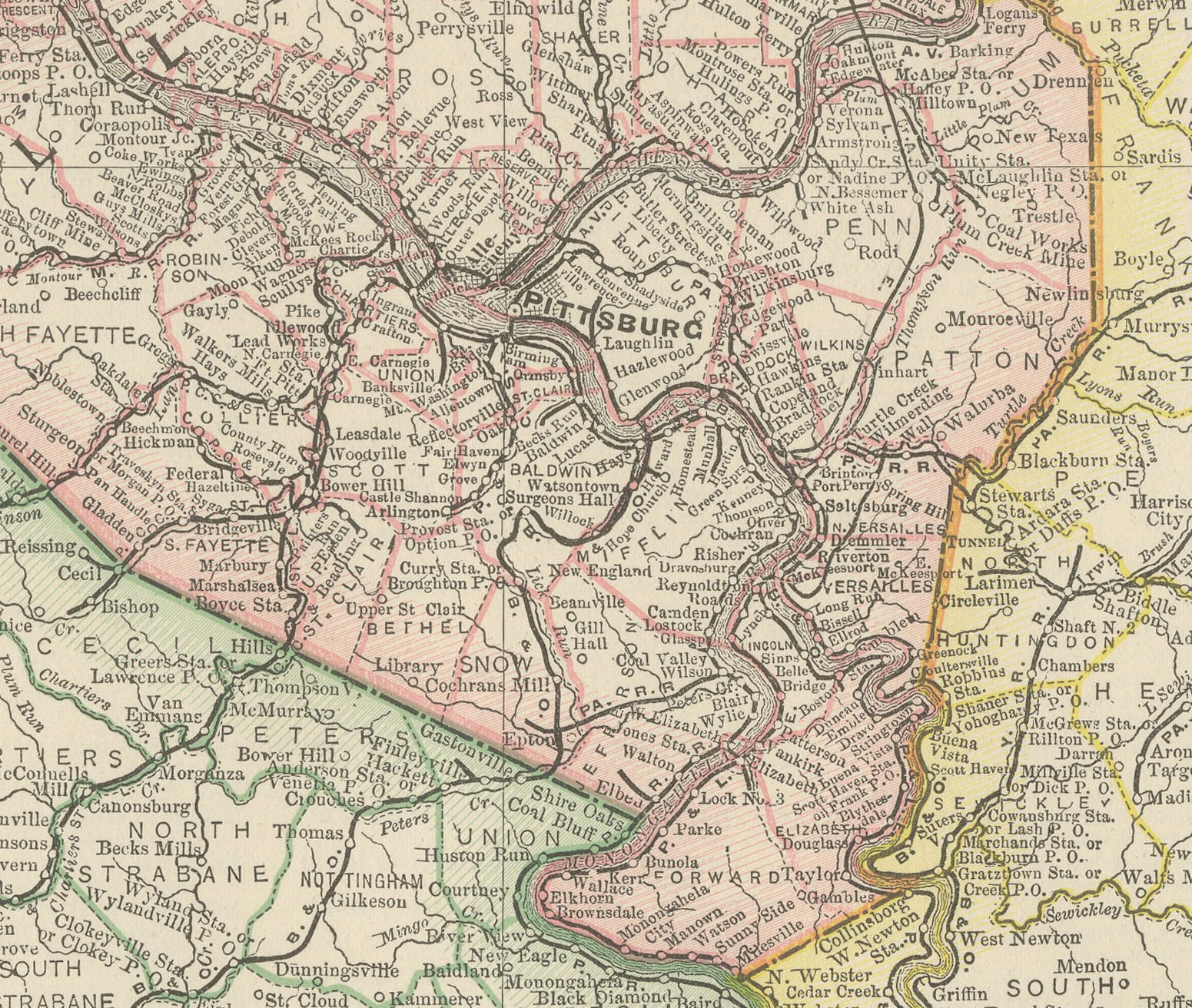
The upper map, headed "Township Map, Vicinity of Pittsburg", covers the wider country around the city, with Allegheny County at the centre in orange and its townships individually outlined and tinted, flanked by Beaver, Washington and Westmoreland counties in their own pastel tints and a sliver of West Virginia and Ohio along the left edge. The Allegheny, Monongahela and Ohio rivers converge at Pittsburgh near the centre, the confluence that explains the city's location and growth.
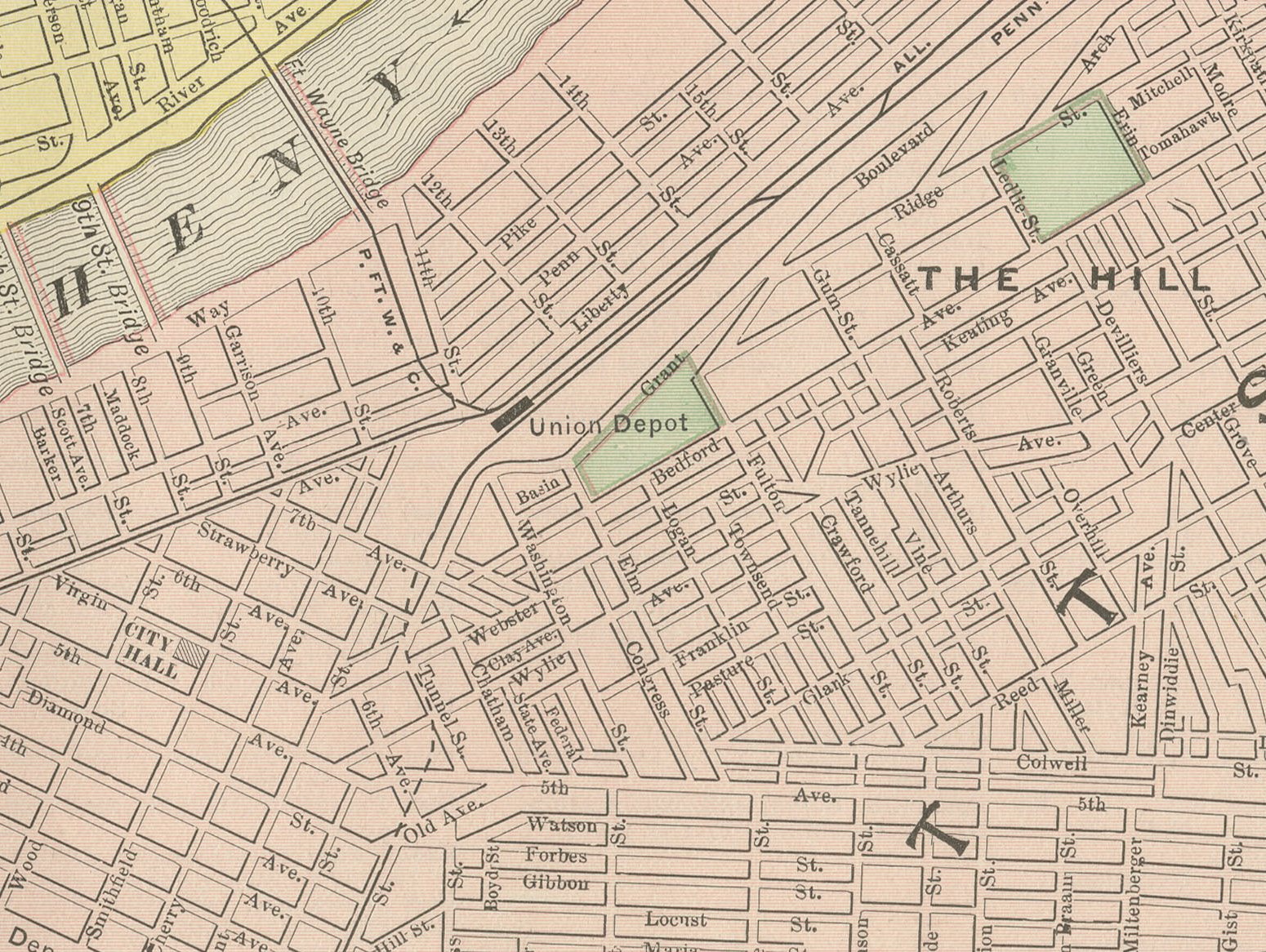
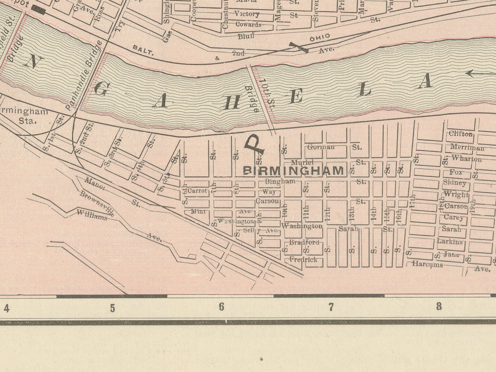
The lower map, "Main Portion of Pittsburg and Allegheny", drops to street level, the two rivers meeting at the Point, with the more regular grid of Allegheny City in yellow on the north bank and Pittsburgh's denser, river-following streets in pink to the south and east. The Hill District and Herron Hill are named on the east side, Soho and Birmingham, later the South Side, lie across the Monongahela, and the Union Depot is marked near the meeting of the rivers, giving a working street plan of the city at the height of its steel-making expansion. Scale bars in statute miles and kilometres appear at the head of each map.
Rand, McNally and Company, the Chicago firm that issued the 1899 indexed atlas, grew from the printing business William Rand started in the 1850s, later joined by Andrew McNally. By the 1890s it was among the leading map publishers in the United States, known for railroad and commercial maps revised with each new issue.
Technically the sheet is a lithograph with printed colour: the outline was printed in black and the colours were printed over it, so none of the colouring was added by hand. Once framed, this antique map of Pittsburgh would suit a home or office in the city today, and it will appeal to collectors of American city plans and local history.
The sheet is in fair to good condition for its age, with age toning, darker at the edges, a few small spots and chipping with small marginal losses along the left edge. Please review the images for further condition details.
This is an original antique map, not a modern reproduction. This item is sold unframed. Any framed or interior images are shown for presentation and inspiration only, unless the listing explicitly states that the item is sold framed.