About this sheet
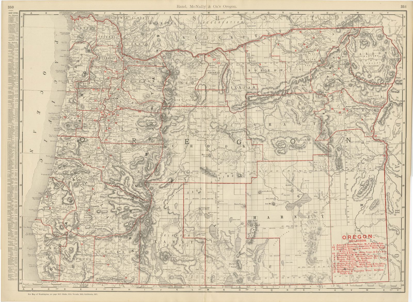
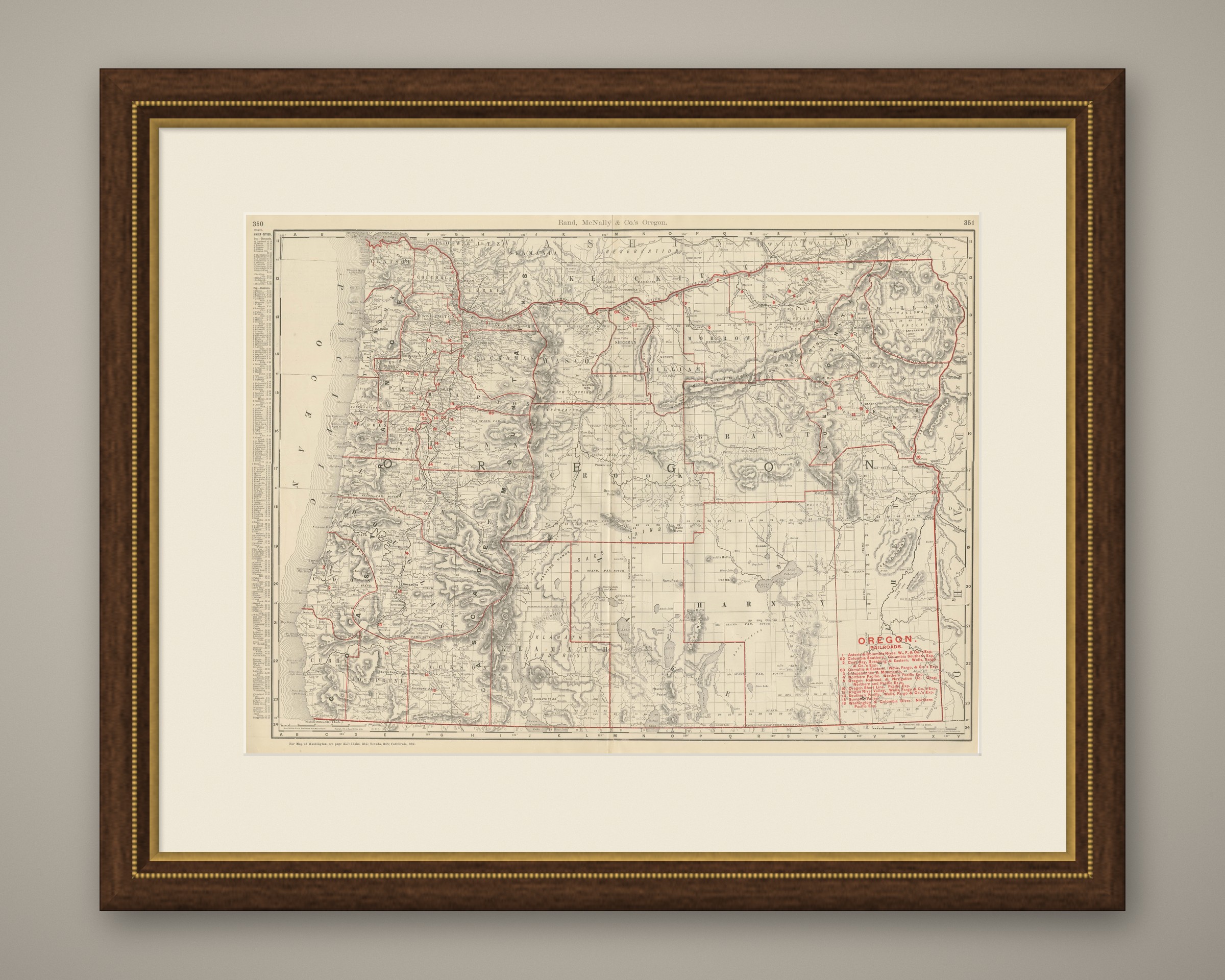
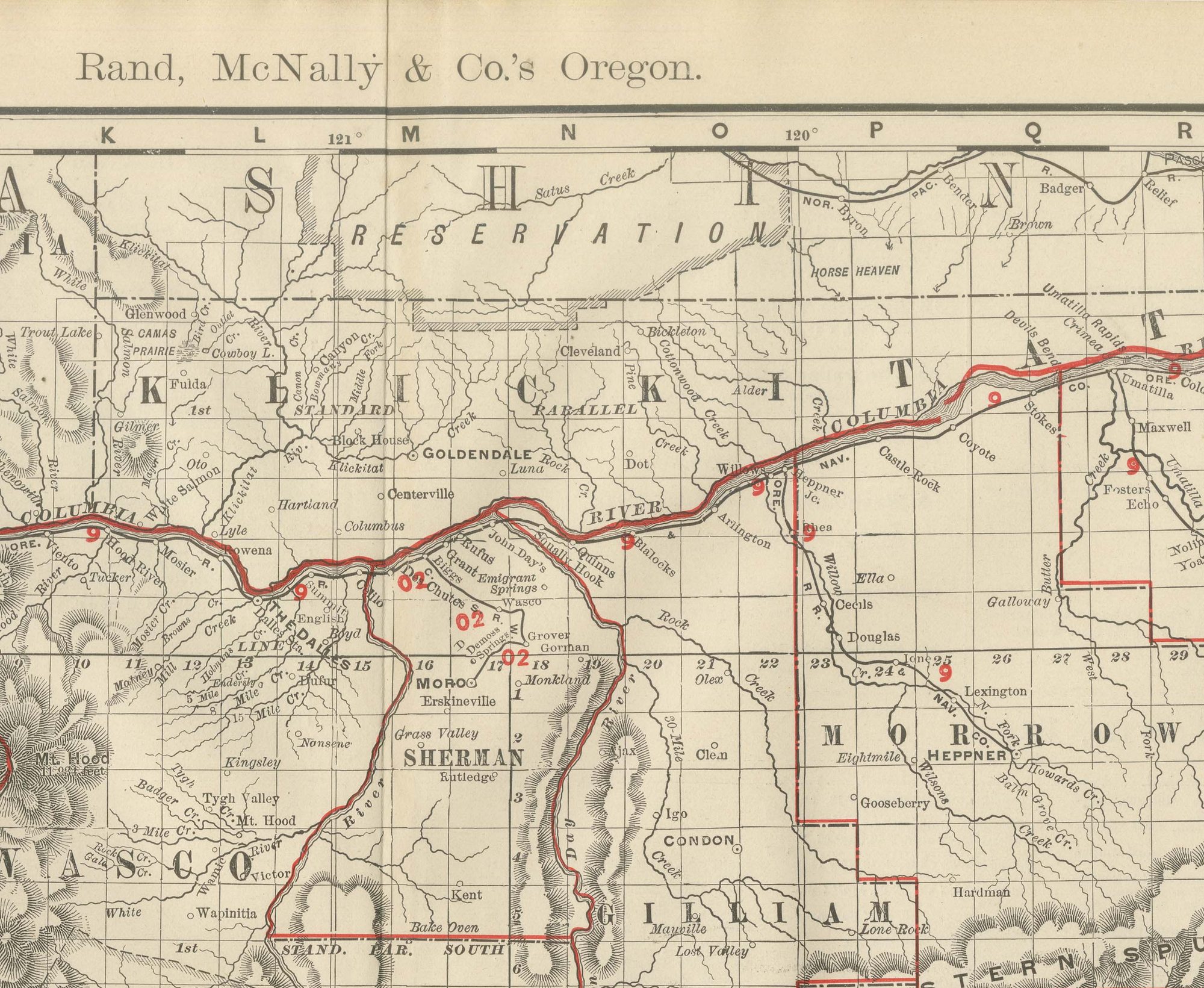
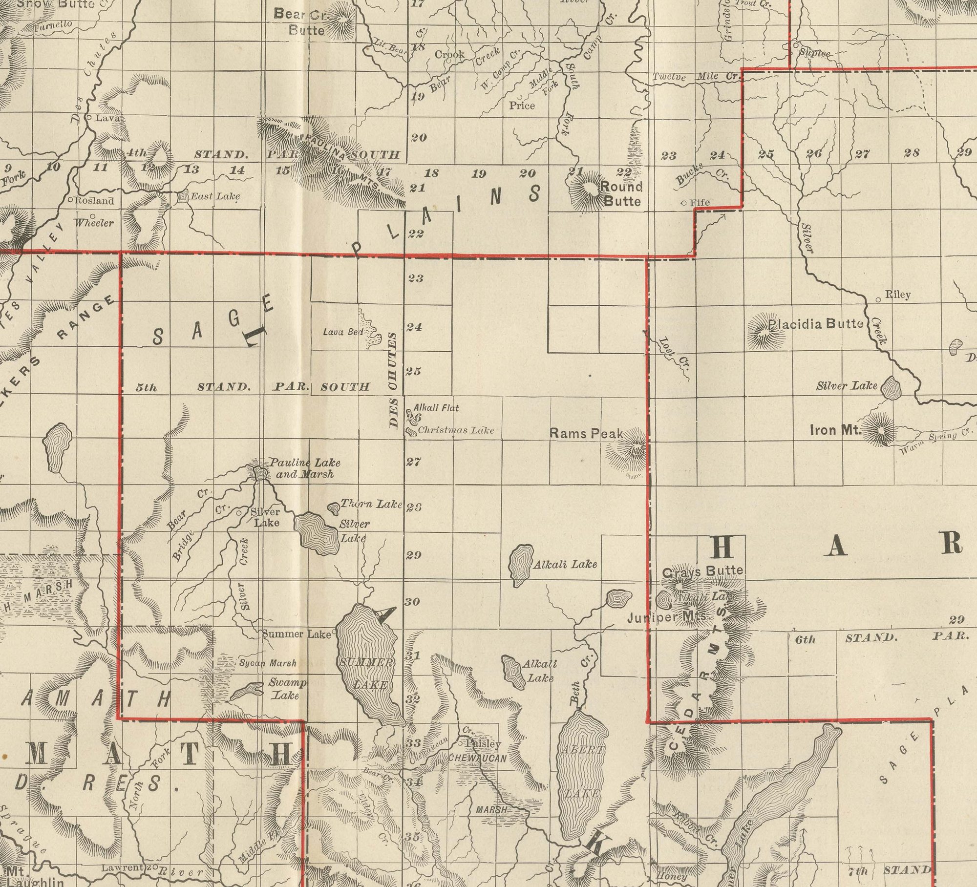
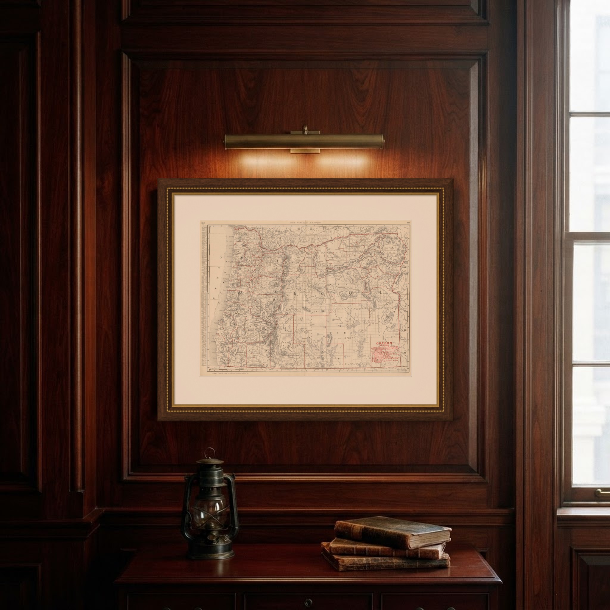
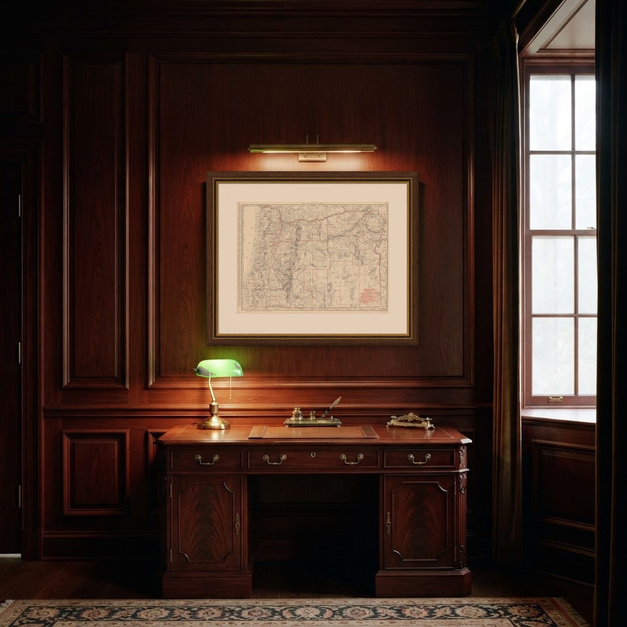
Rand McNally published this antique map of Oregon in 1899 as a double-page spread, pages 350 and 351 of its indexed atlas, showing the state county by county from the Columbia River and the Washington border in the north to the California line in the south. The Cascade Range runs the length of the sheet, dividing the settled, forested counties of the Willamette Valley and the coast, Clatsop, Columbia, Washington, Clackamas, Marion, Polk, Benton, Lane, Douglas, Coos, Curry, Jackson and Josephine, from the high desert counties of the east, Wasco, Sherman, Gilliam, Morrow, Umatilla, Union, Wallowa, Baker, Grant, Crook and Harney, the last still largely unsurveyed rangeland shown with sparse detail around the Malheur and Harney Lakes.
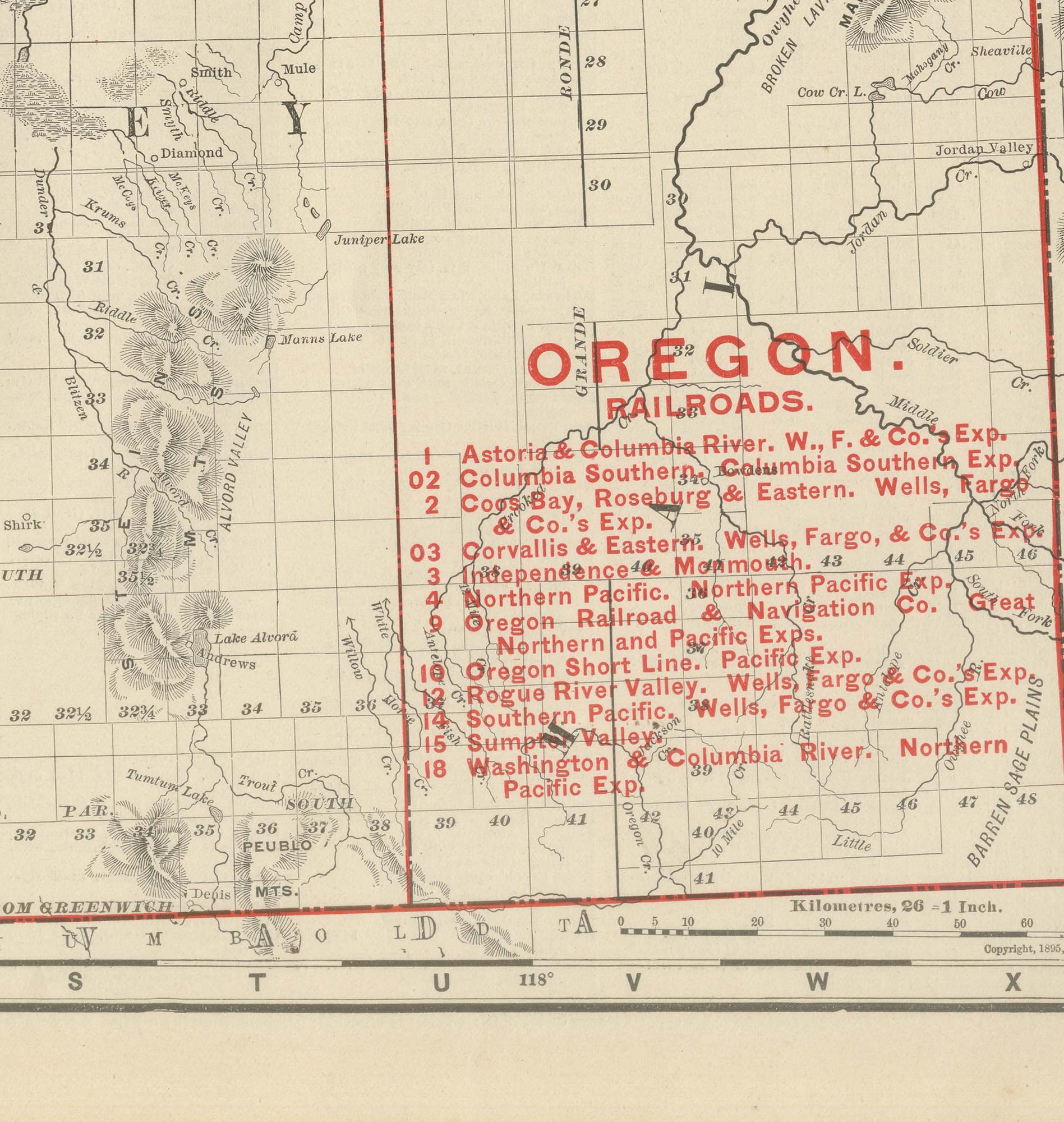
A red-numbered railroad legend at lower right lists the lines serving the state, among them the Astoria and Columbia River, the Columbia Southern, the Coos Bay Roseburg and Eastern, the Corvallis and Eastern, the Northern Pacific, the Oregon Railroad and Navigation Company, the Oregon Short Line, the Southern Pacific and the Sumpter Valley, each traced in red and keyed to its Wells, Fargo and Company express agency. The Warm Springs reservation south of Wasco County is named and outlined, and the Klamath Indian Reservation appears in the southern part of the sheet.
Scale is given as 16 statute miles to the inch, unusually large for a full-state plate in this atlas and a sign of how much county-level detail the publisher wanted in the Oregon sheet. A note at the foot directs the reader to the adjoining Washington, Idaho, Nevada and California sheets.
Rand McNally, which grew from William Rand's Chicago printing business of the 1850s after Andrew McNally joined it, was by the 1890s one of the leading map publishers in the United States. This antique map of Oregon is an original 1899 sheet: a colour lithograph with the outline printed in black and the colours printed over it, issued folded through the centre and suitable for framing. The colour is printed rather than applied by hand.
The sheet is in good condition for its age, with light, even age toning, clean margins and the original central fold as issued. Please review the images for further condition details.
This is an original antique map, not a modern reproduction. This item is sold unframed. Any framed or interior images are shown for presentation and inspiration only, unless the listing explicitly states that the item is sold framed.