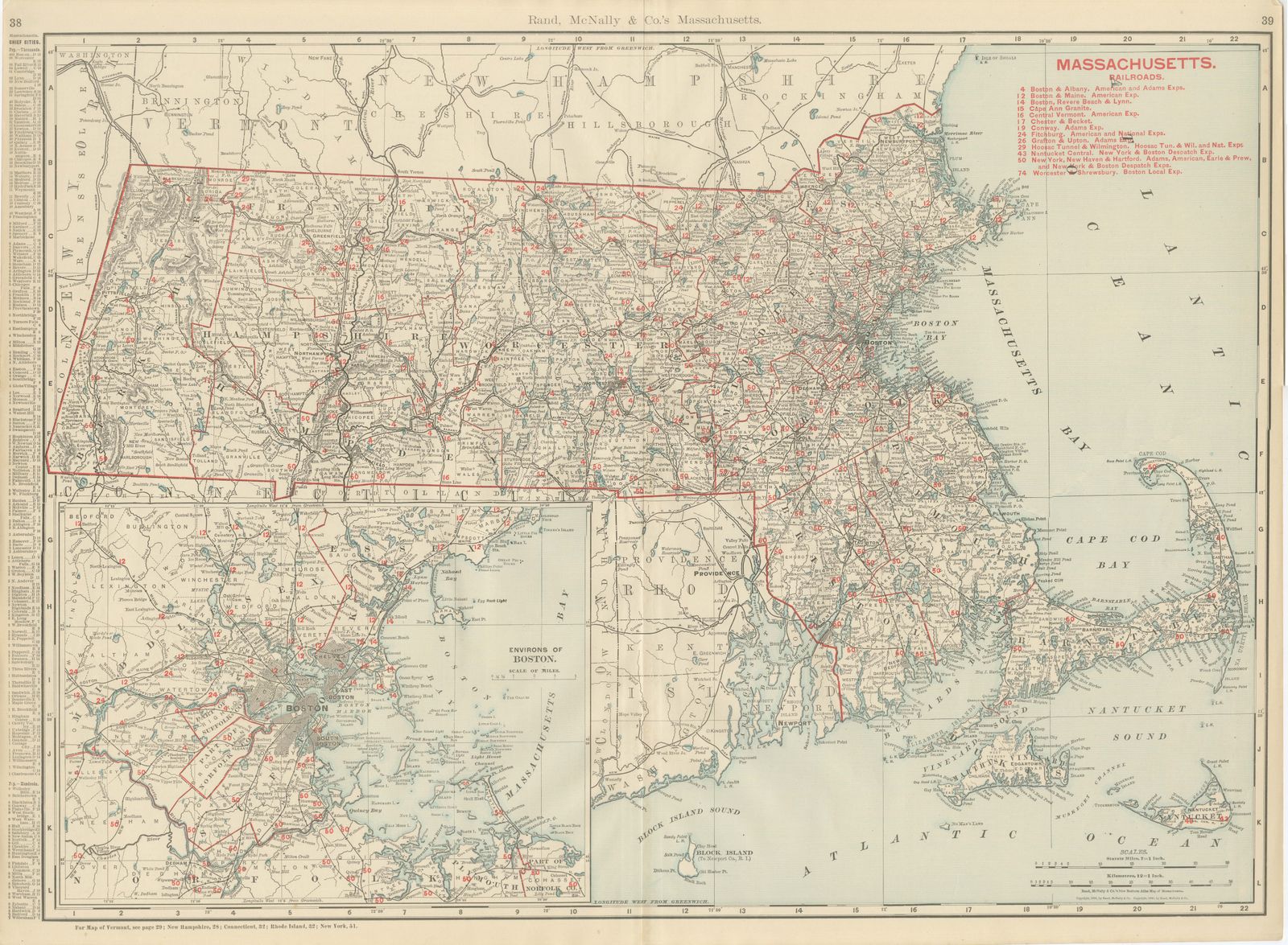
Antique Map of Massachusetts, The Bay State, Rand McNally, 1899
€ 395
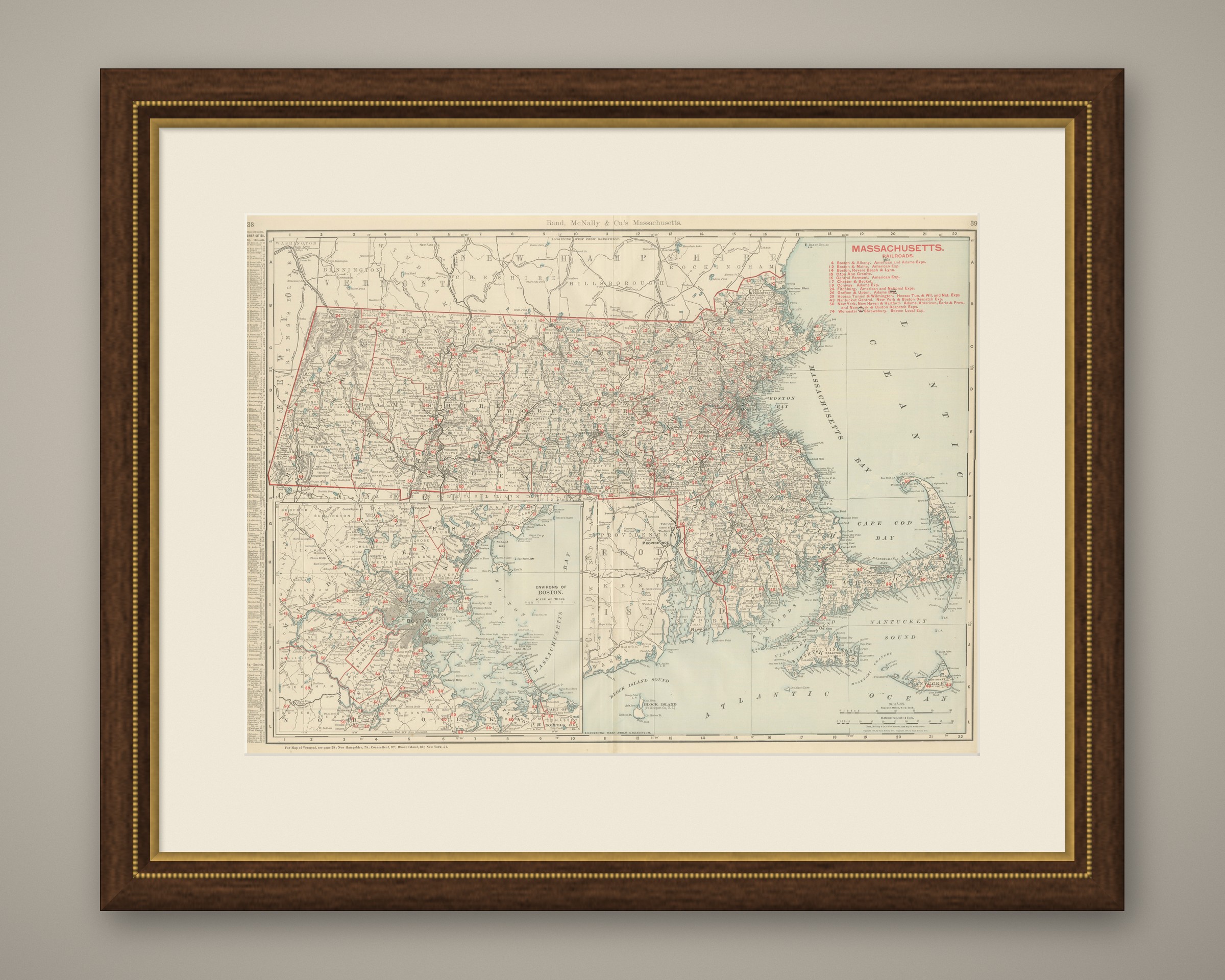
Original antique · The actual sheet photographed · Certificate of authenticity on request · Sold unframed · Worldwide shipping from € 15 (rates)
Date
1899
Mapmaker / artist
Rand, McNally & Co.
Publisher
Rand, McNally & Co., Chicago
Technique
Lithograph
Colouring
Printed colour
Condition
Good
Reference
BG-12793-2-10
Condition
Good condition for its age. Light, even age toning, a softly creased upper right corner, minor edge wear and the original central fold as issued. Please review the images for further condition details.
About this sheet
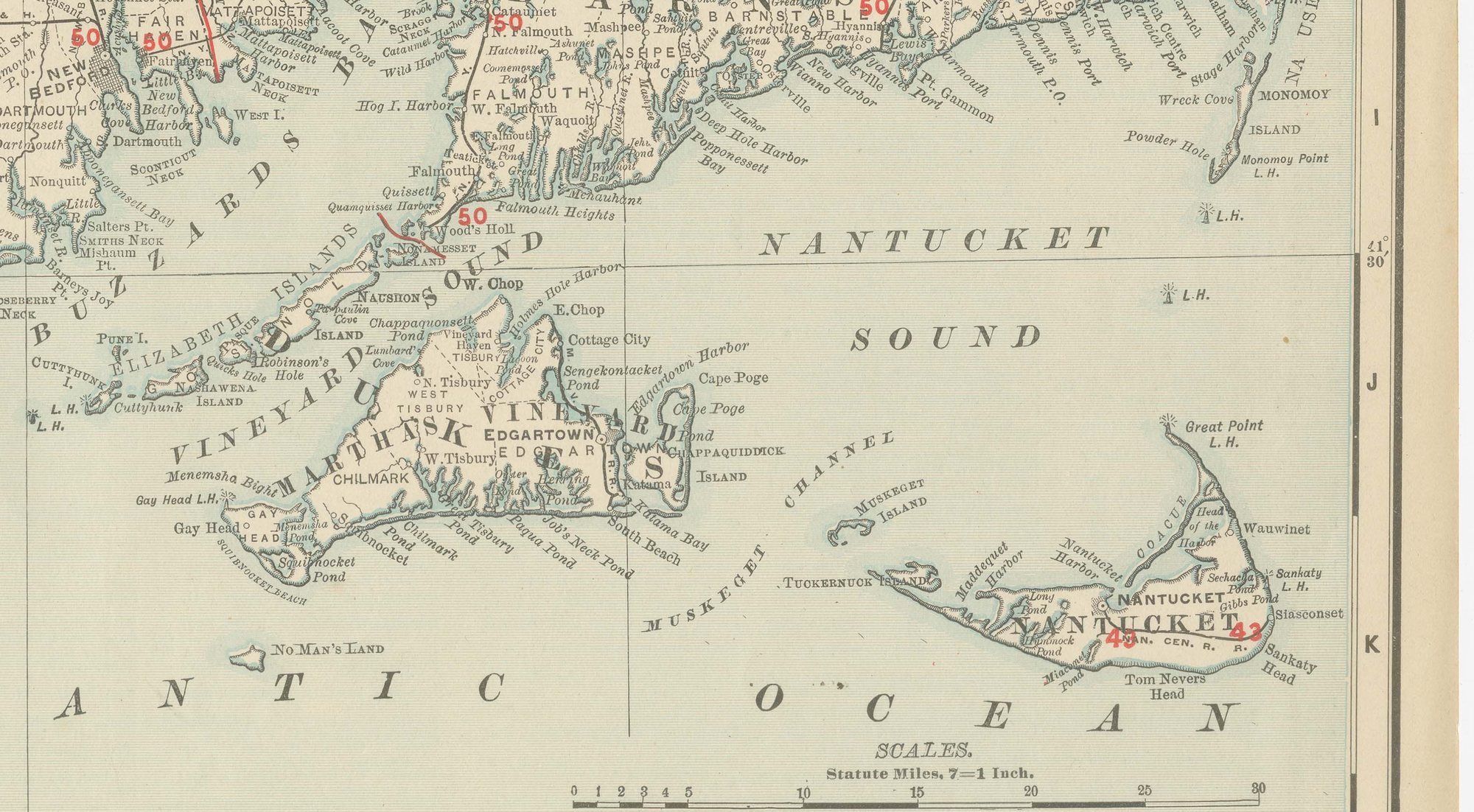
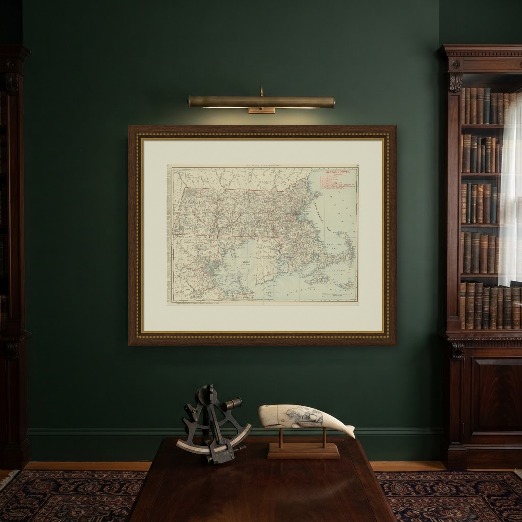
Rand McNally printed this antique map of Massachusetts across pages 38 and 39 of its 1899 indexed atlas, a double-page sheet running from the Berkshire hills to Cape Cod and the islands, with an inset of the environs of Boston.
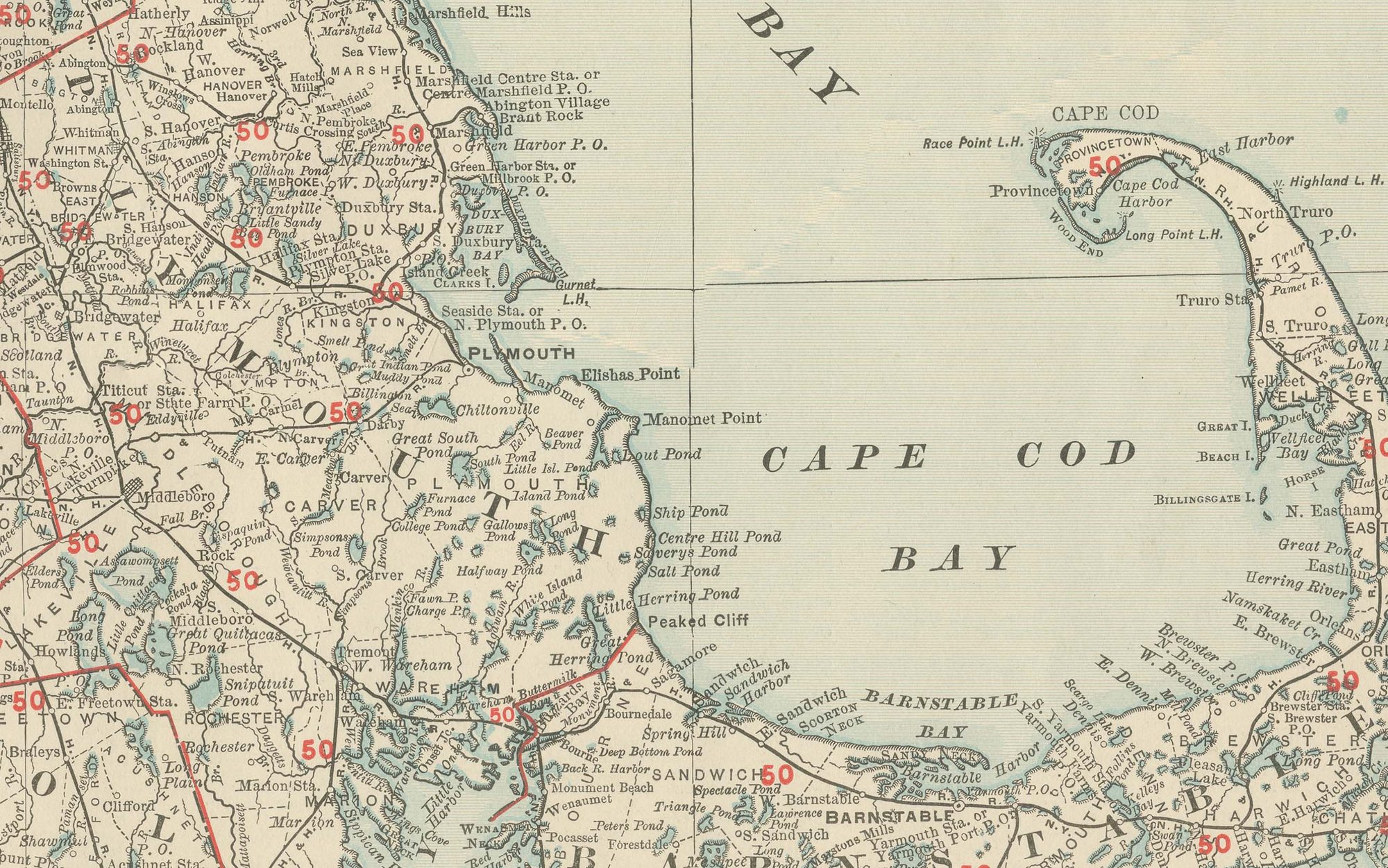
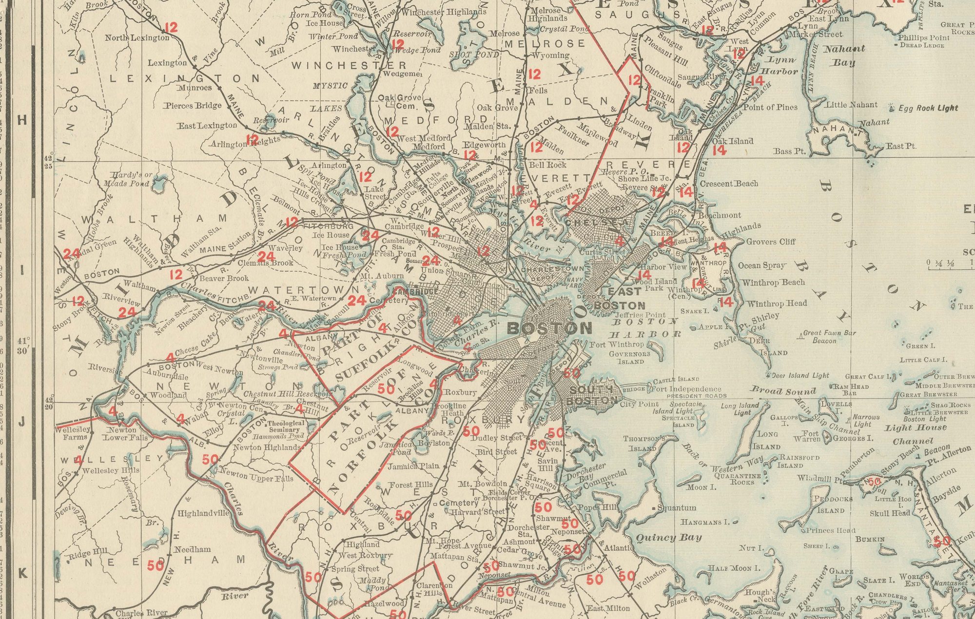
The Berkshires along the New York line are rendered in dense hachured relief, and the map continues across the Connecticut Valley and the rolling farmland of Worcester County to Boston Bay and the long curl of Cape Cod, with Nantucket and Martha's Vineyard filling the lower right corner. The inset in the lower centre, "Environs of Boston", enlarges the crowded ring of towns immediately around the capital, Cambridge, Somerville, Brookline and Quincy among them, at a scale the main map cannot support.
A numbered key to fourteen railroad companies fills the upper right corner, matching a network dense enough around Boston and through the Worcester and Springfield corridors to require careful colour differentiation between competing lines, while the outer Cape and the islands are reached by comparatively few routes. A list of the chief cities and towns with their populations runs down the left margin, and county lines are printed in red over pale tints distinguishing Berkshire from Hampden and Worcester from Middlesex. A note along the foot cross-references the adjoining plates for Vermont, New Hampshire, Connecticut, Rhode Island and New York.
Rand, McNally and Company grew out of a Chicago printing business started in the 1850s by William Rand, who was soon joined by Andrew McNally. By the 1890s the firm was one of the leading map publishers in the United States, and this sheet belongs squarely to the railroad and commercial maps it was known for, revised from issue to issue.
Technically the sheet is a lithograph with printed colour: the outline was printed in black and the colours were printed over it, so none of the colouring was added by hand. Once framed, this antique map of Massachusetts would suit a home or office in the state today, and it will appeal to collectors of American state maps and railroad history.
The sheet is in good condition for its age, with light, even age toning, a softly creased upper right corner, minor edge wear and the original central fold as issued. Please review the images for further condition details.
This is an original antique map, not a modern reproduction. This item is sold unframed. Any framed or interior images are shown for presentation and inspiration only, unless the listing explicitly states that the item is sold framed.