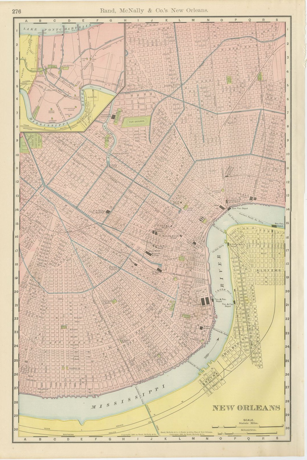
Antique Map of New Orleans, The Crescent City, Rand McNally, 1899
€ 395
Original antique · The actual sheet photographed · Certificate of authenticity on request · Sold unframed · Worldwide shipping from € 15 (rates)
Date
1899
Mapmaker / artist
Rand, McNally & Co.
Publisher
Rand, McNally & Co., Chicago
Technique
Lithograph
Colouring
Printed colour
Condition
Good
Reference
BG-12793-2-55
Condition
Good condition for its age. Light age toning, a few small spots in the margins and a rough right edge with small chips. Please review the images for further condition details.
About this sheet
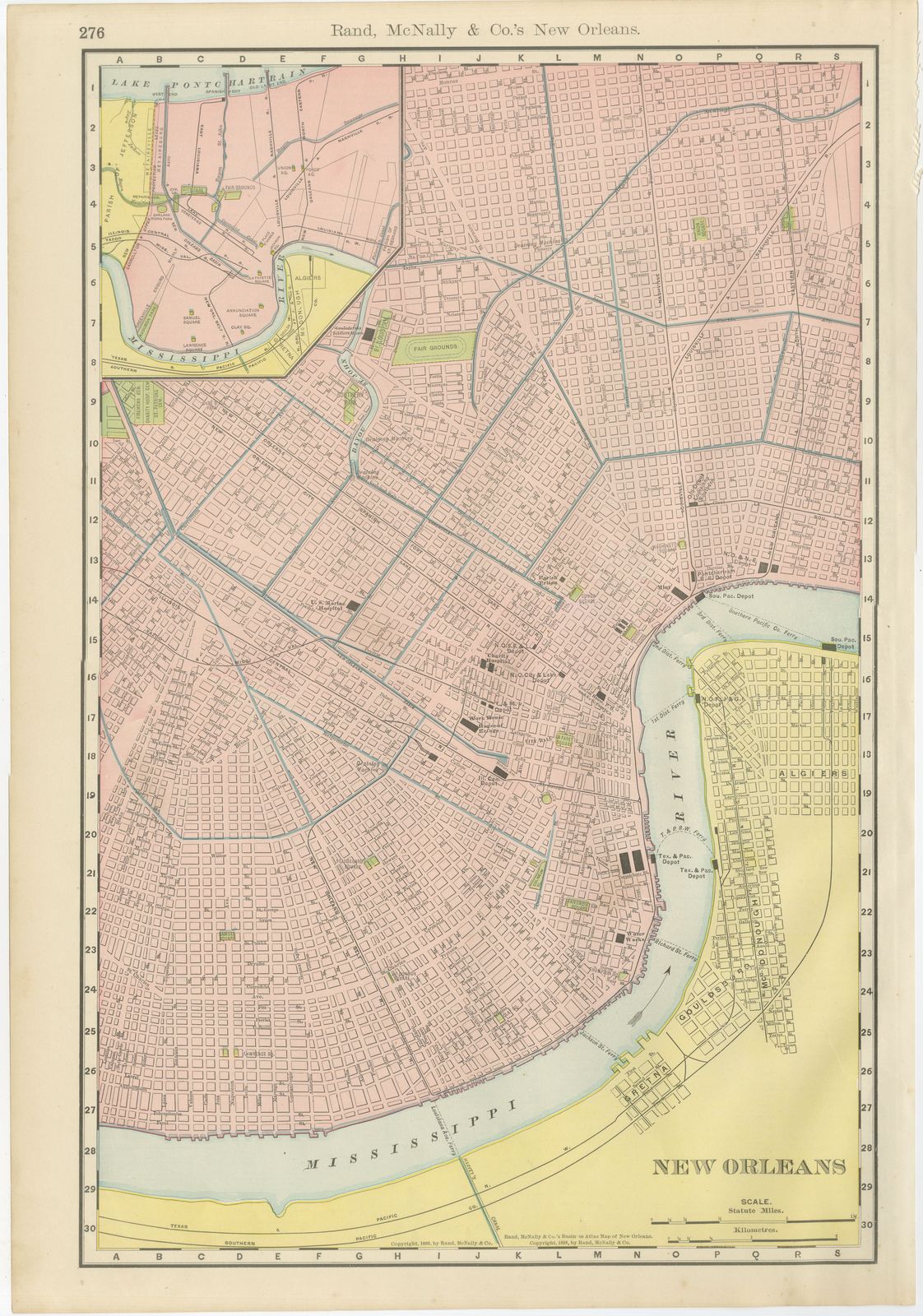
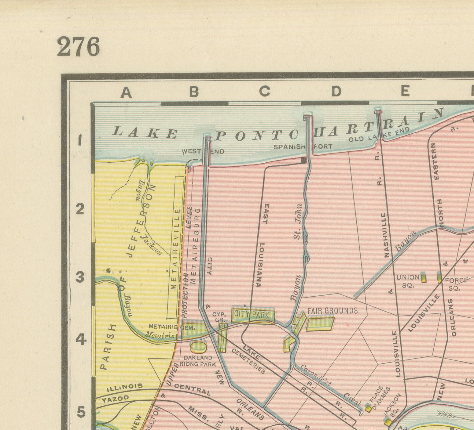
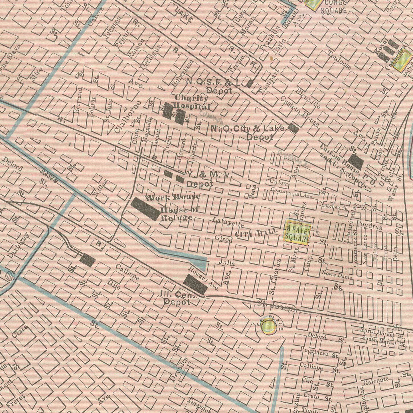
This antique map of New Orleans is the street plan printed on page 276 of Rand McNally's indexed atlas of 1899, following the sharp crescent bend of the Mississippi River through the heart of the city, from which it takes its nickname, with the streets radiating from the curve of the river rather than laid out in a strict rectangular grid. Algiers, across the river on the West Bank, is shown in a contrasting yellow tint with its own distinct grid, and the ferry crossings linking it to the main city, among them the Southern Pacific and Texas and Pacific rail depot ferries, are named along the waterfront.
An inset at upper left maps the area around Lake Pontchartrain to the north, showing the West End and Spanish Fort resort districts and the rail and shell-road connections that linked the lakefront, a popular recreation area for residents by the 1890s, to the city proper. The Fair Grounds racetrack is marked in green, along with several of the city's cemetery squares, a necessity in a city built largely below sea level and subject to flooding.
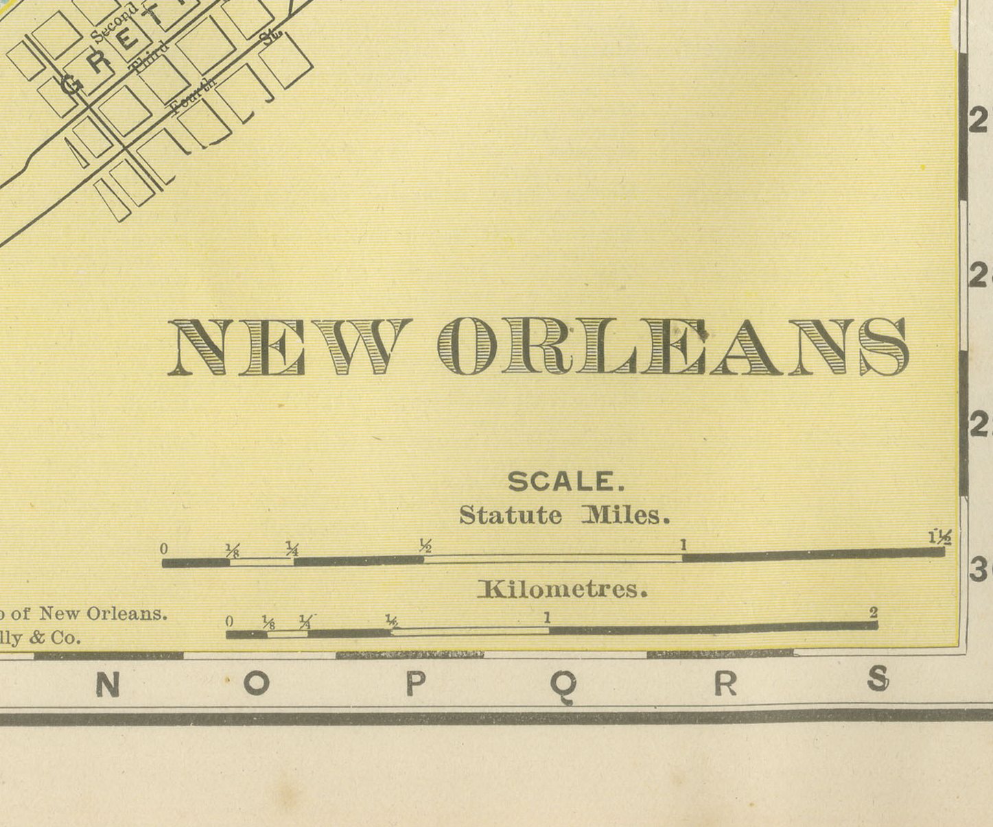
Scale is given in statute miles and kilometres at lower right, and the plate carries both an 1886 and an 1898 copyright line, evidence of successive revisions to keep the plan current. As a large-scale city plan the sheet carries no railroad colour key of its own; its interest lies in the street-by-street record of the city's distinctive river-following layout and its rail and ferry infrastructure at the close of the 1890s.
Rand McNally, which by the 1890s was one of the leading map publishers in the United States, was known for maps revised from issue to issue, as the two copyright dates here show. This antique map of New Orleans is a colour lithograph, the outline printed in black with the colours printed over it, and an original 1899 atlas sheet. It is suitable for framing. The colour is printed rather than applied by hand.
The sheet is in good condition for its age, with light age toning, a few small spots in the margins and a rough right edge with small chips. Please review the images for further condition details.
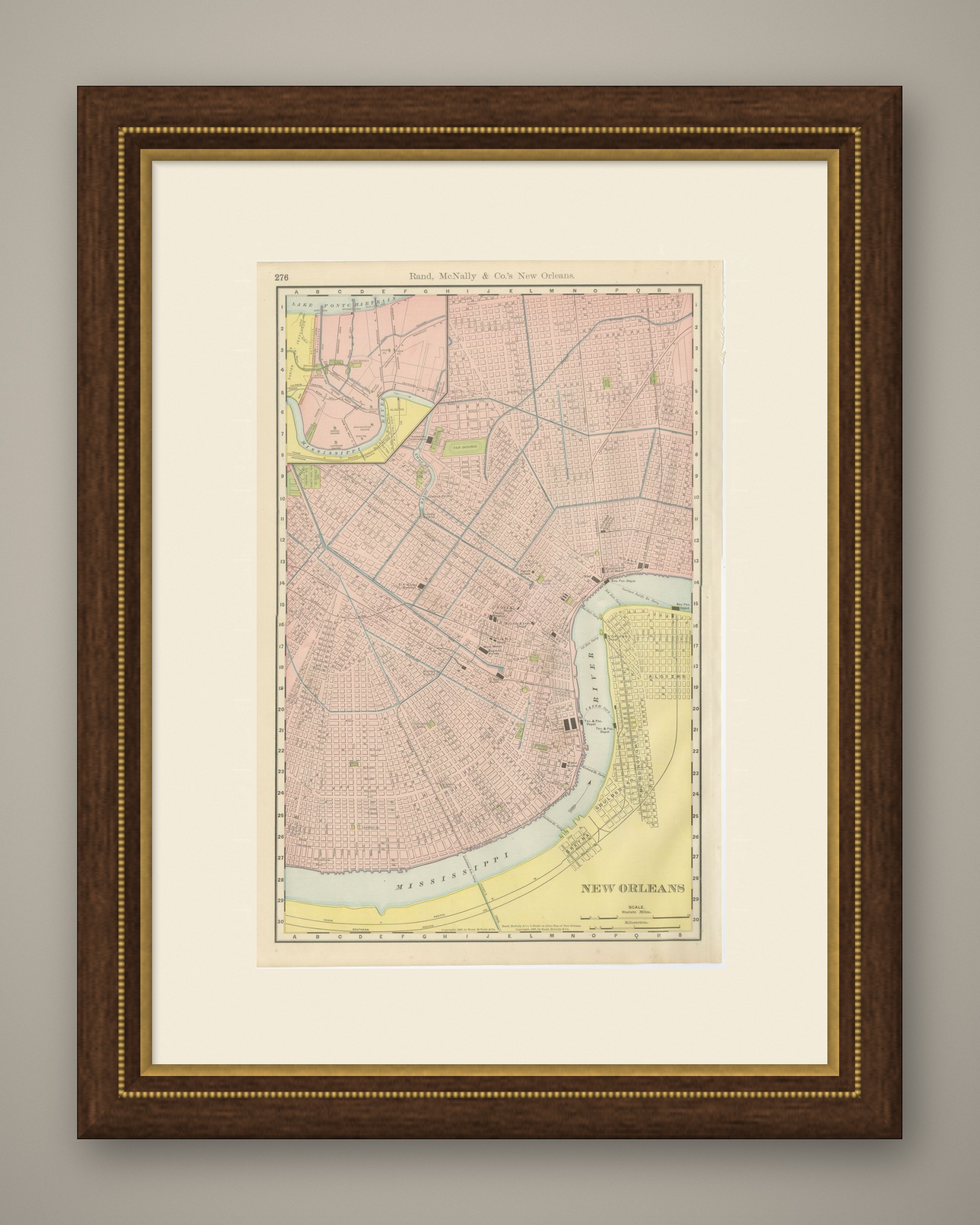
This is an original antique map, not a modern reproduction. This item is sold unframed. Any framed or interior images are shown for presentation and inspiration only, unless the listing explicitly states that the item is sold framed.