About this sheet
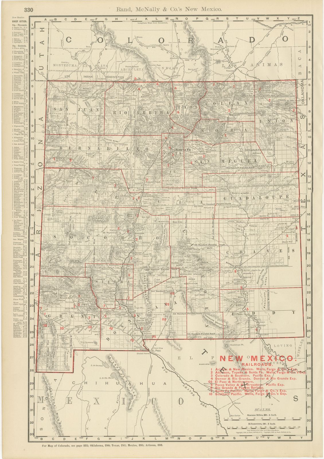
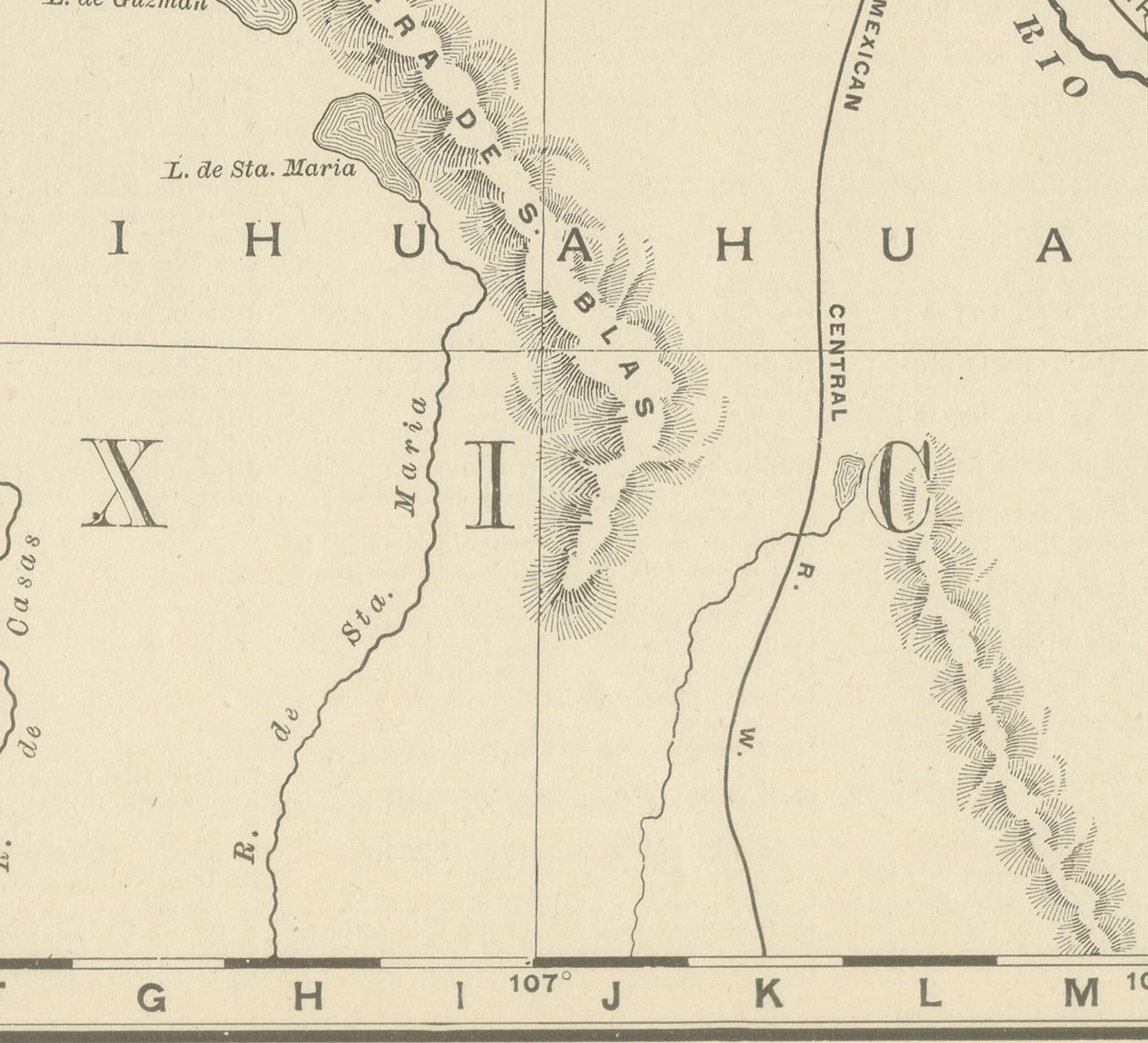
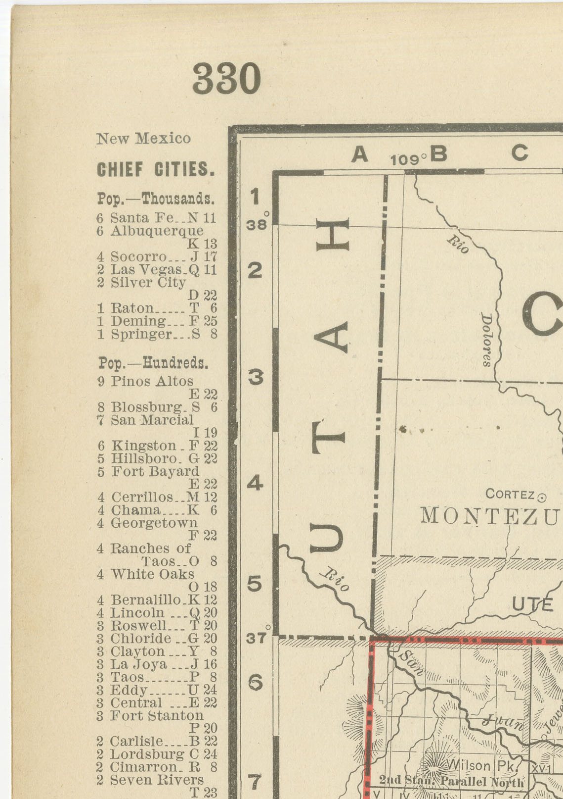
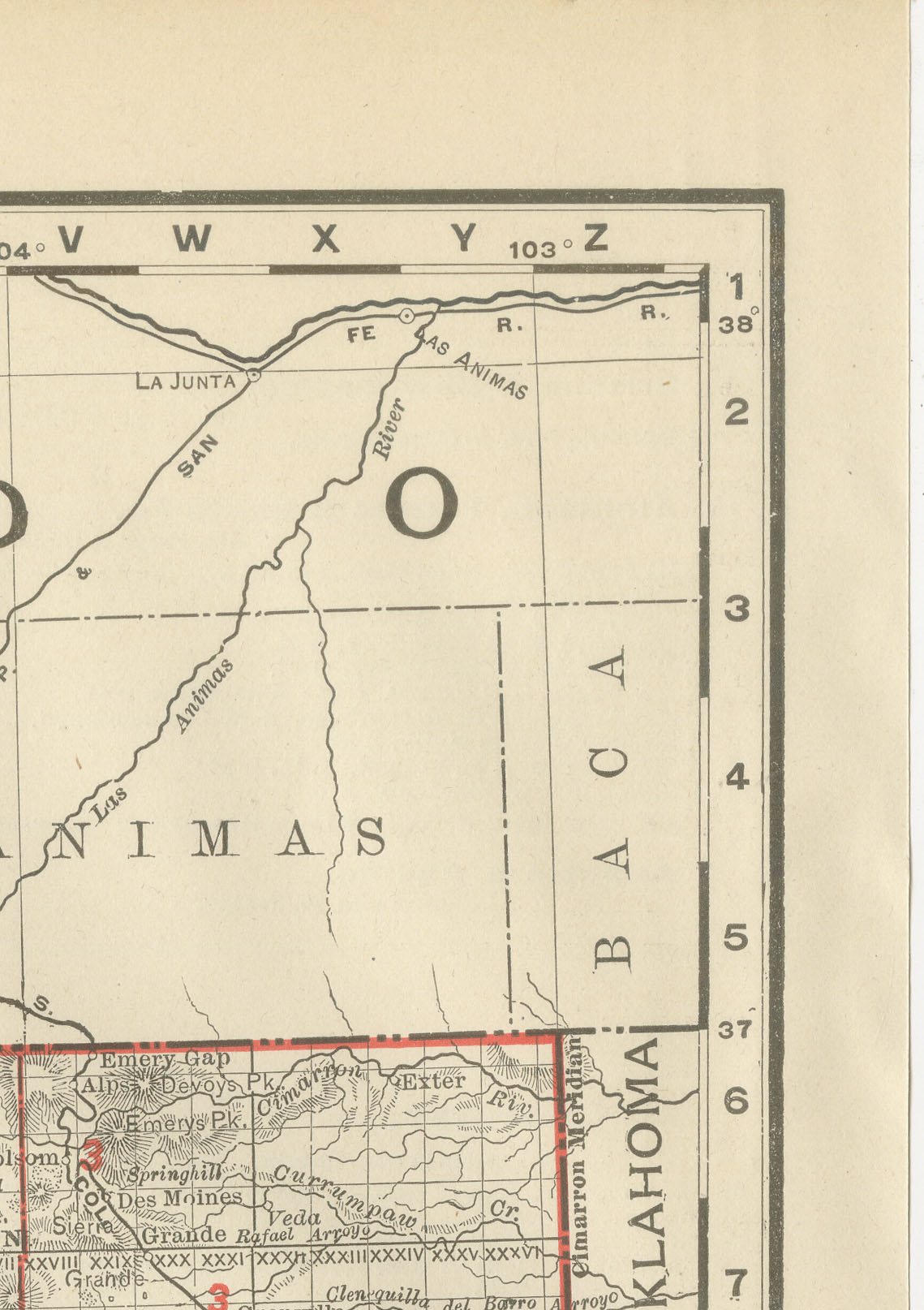
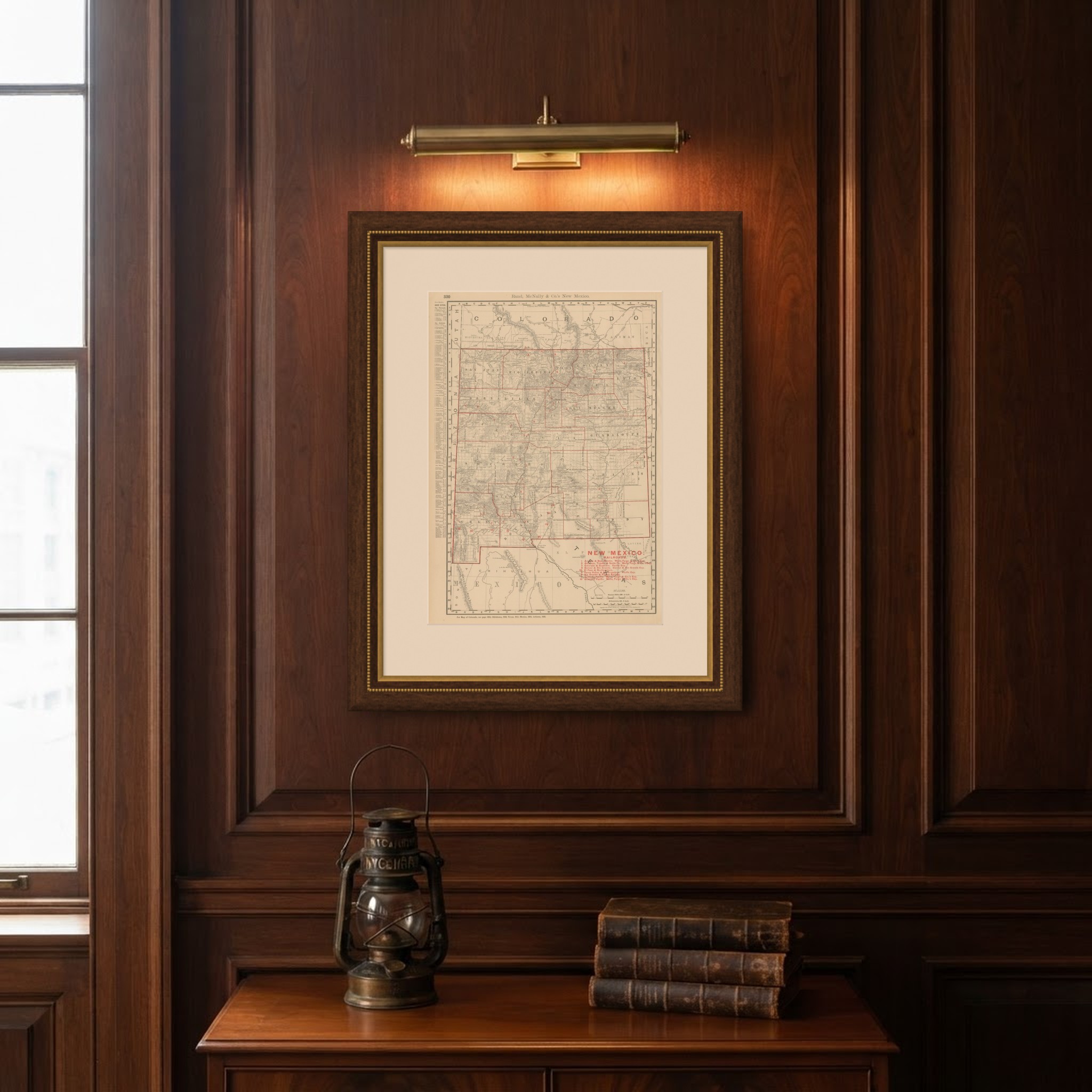
This antique map of New Mexico, printed by Rand McNally in 1899 on page 330 of its indexed atlas, shows the Territory of New Mexico county by county, statehood not coming until 1912, from San Juan, Rio Arriba, Taos, Colfax and Union along the Colorado border in the north to Grant, Dona Ana and Eddy along the Mexican and Texas borders in the south. Santa Fe, Bernalillo (with Albuquerque) and San Miguel counties fill the settled north-centre along the Rio Grande, and the Mescalero Apache Indian Reservation is outlined southeast of Lincoln County, with the Sacramento and Guadalupe Mountains in hachured relief nearby.
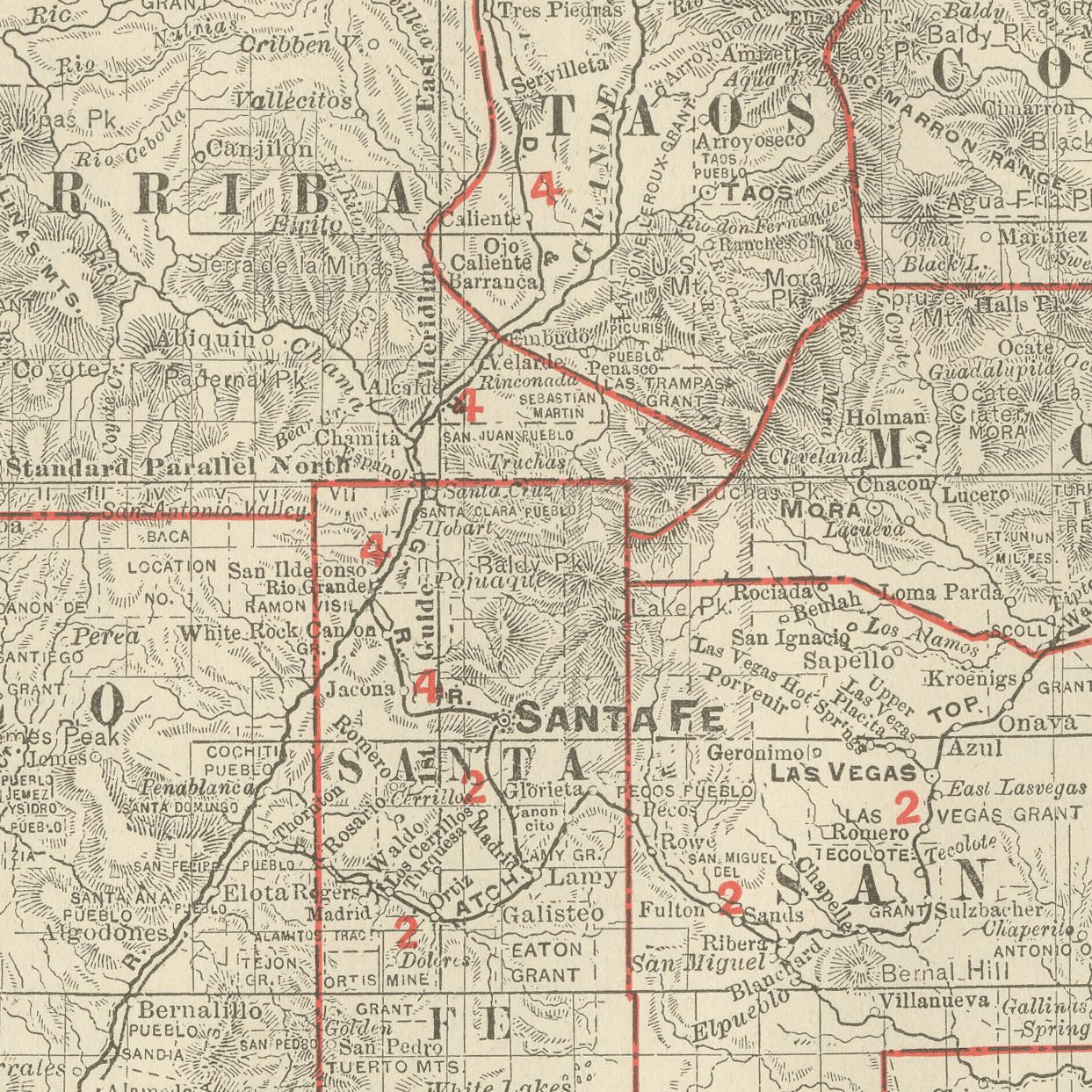
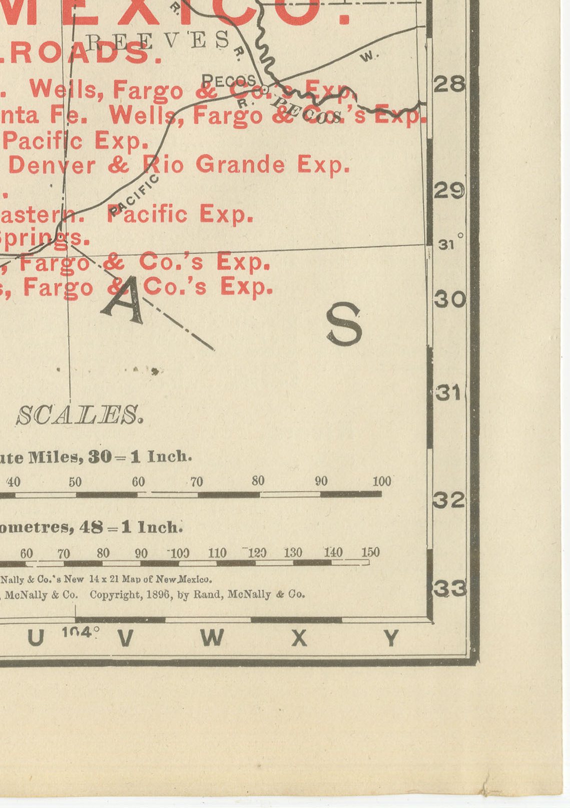
A red railroad legend at lower right lists nine lines, among them the Atchison, Topeka and Santa Fe, the Colorado and Southern, the Denver and Rio Grande, the El Paso and Northeastern, the Pecos Valley and Northeastern, the Rio Grande and Pagosa Springs, the Santa Fe Pacific and the Southern Pacific, tracing the network that connected the mining camps of Silver City, Socorro, Kingston and Cerrillos to the transcontinental lines through Albuquerque and Deming. The Rio Grande valley carries a comparatively dense scatter of village names along its full length, a legacy of the centuries-old Hispanic settlement pattern along the river.
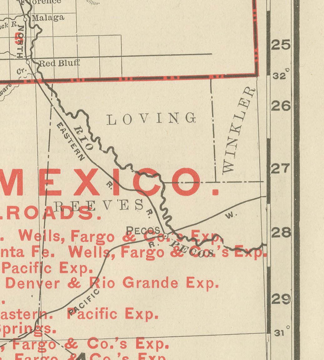
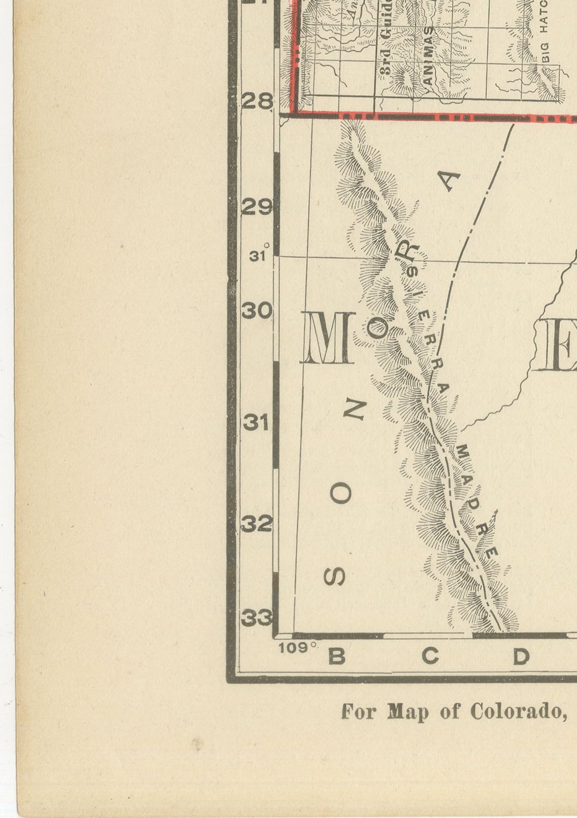
The vast unorganised grazing land east of the Pecos River and south into the Guadalupe country is shown comparatively bare of detail, consistent with how late that part of New Mexico was settled. Scale is given as 30 statute miles to the inch, and a note at the foot directs the reader to the adjoining Colorado, Oklahoma, Texas, Mexico and Arizona maps.
Rand McNally, which grew from a Chicago printing business begun by William Rand in the 1850s and joined by Andrew McNally, was by the 1890s among the leading map publishers in the United States. This antique map of New Mexico is an original 1899 atlas sheet, a colour lithograph with the outline in black and the colours printed over it. It is suitable for framing. The colour is printed rather than applied by hand.
The sheet is in good condition for its age, with light age toning, a few small spots in the margins and minor wear to the sheet edges. Please review the images for further condition details.
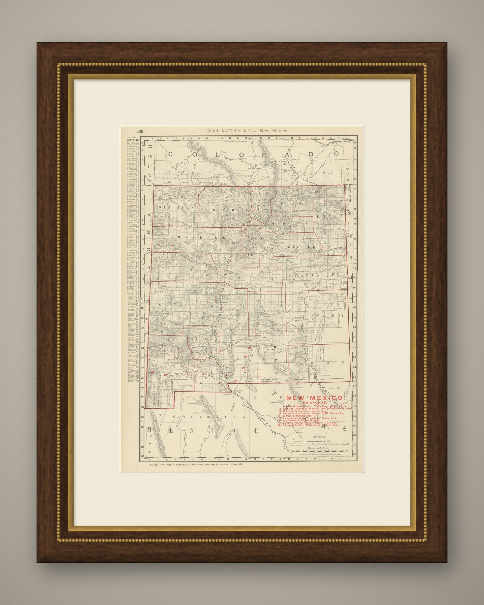
This is an original antique map, not a modern reproduction. This item is sold unframed. Any framed or interior images are shown for presentation and inspiration only, unless the listing explicitly states that the item is sold framed.