About this sheet
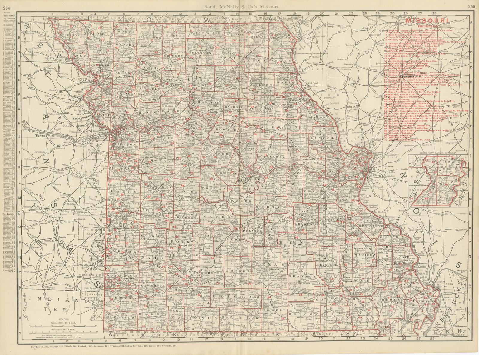
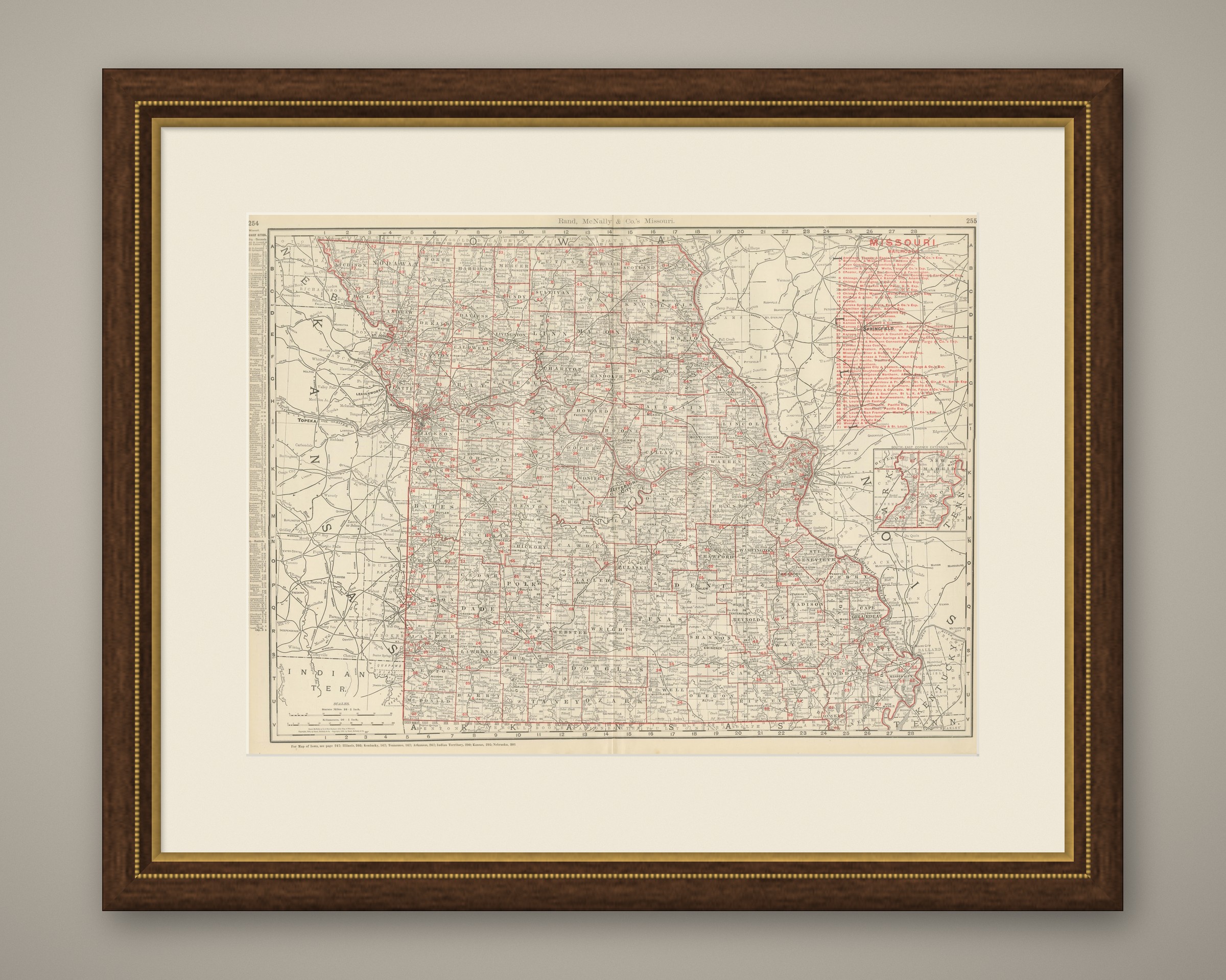
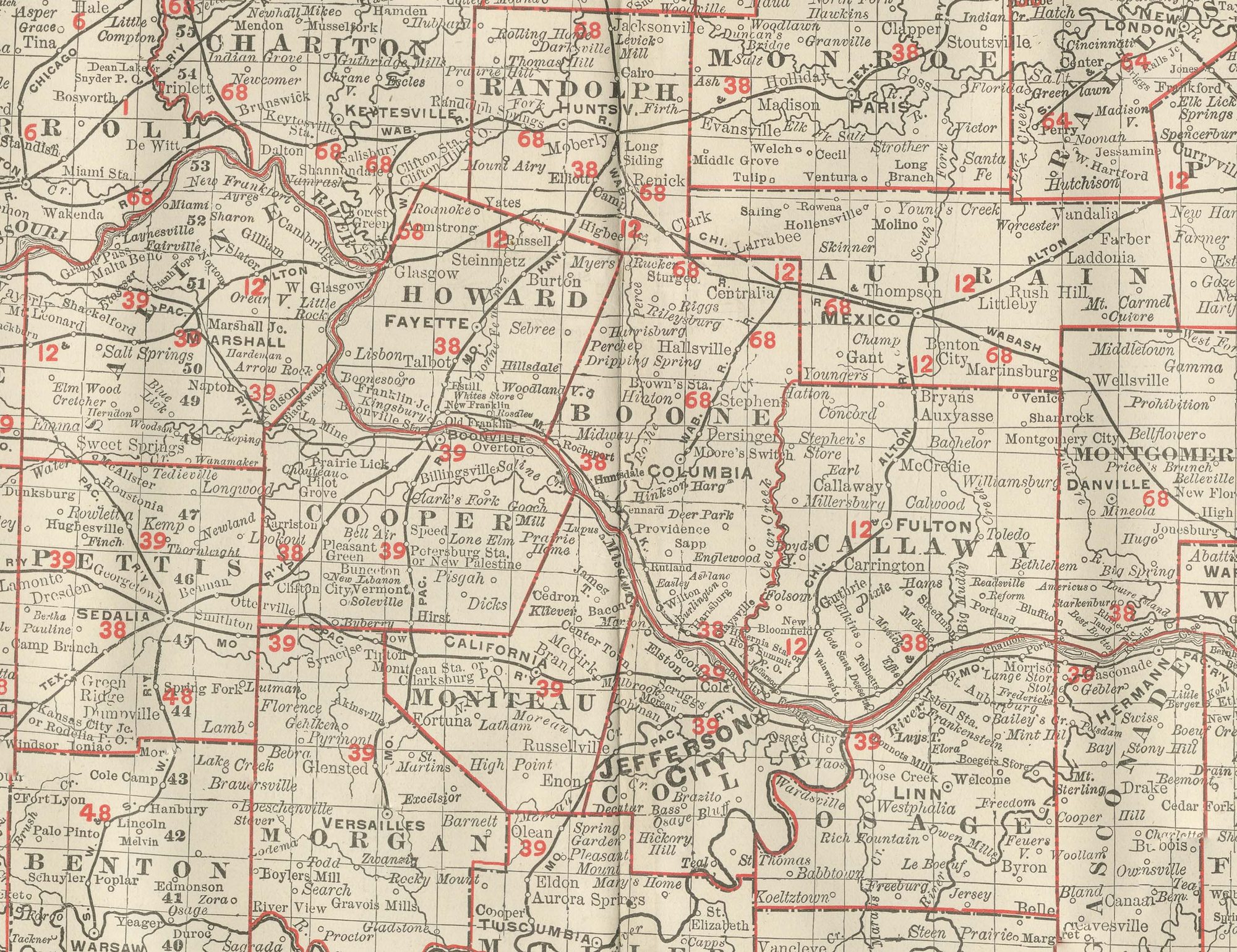
An antique map of Missouri from Rand McNally's indexed atlas of 1899, this double-page spread on pages 254 and 255 maps the state county by county, from the Iowa border in the north to the Arkansas line in the south, and from Kansas and the great western bend of the Missouri River, where Kansas City and Saint Joseph both sit, to the Mississippi River and the Illinois, Kentucky and Tennessee borders in the east. A boxed inset at lower right, "South-East Corner Extension," carries the coverage down into the Missouri Bootheel, with Pemiscot, New Madrid and Dunklin counties, an area that falls off the main frame.
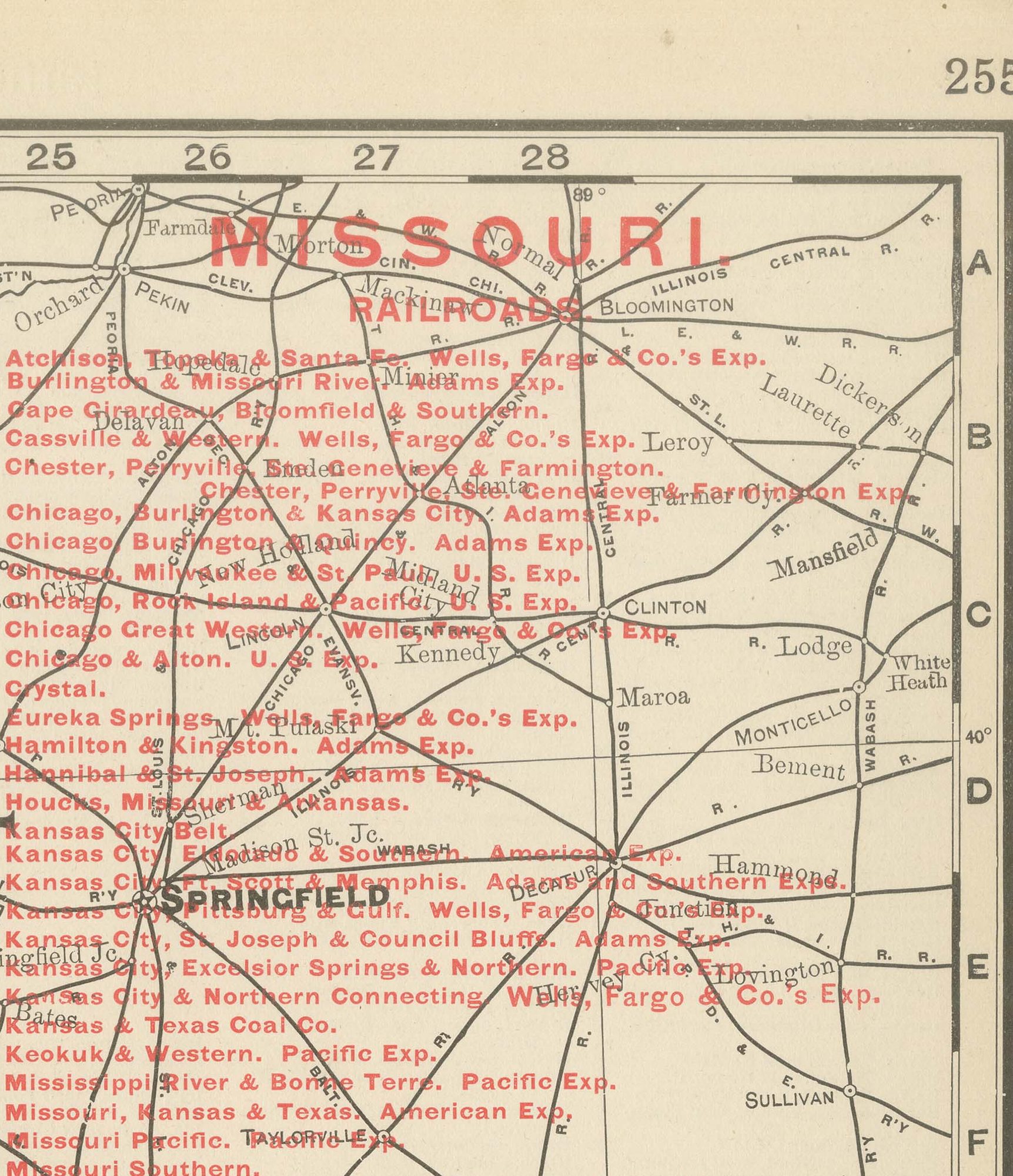
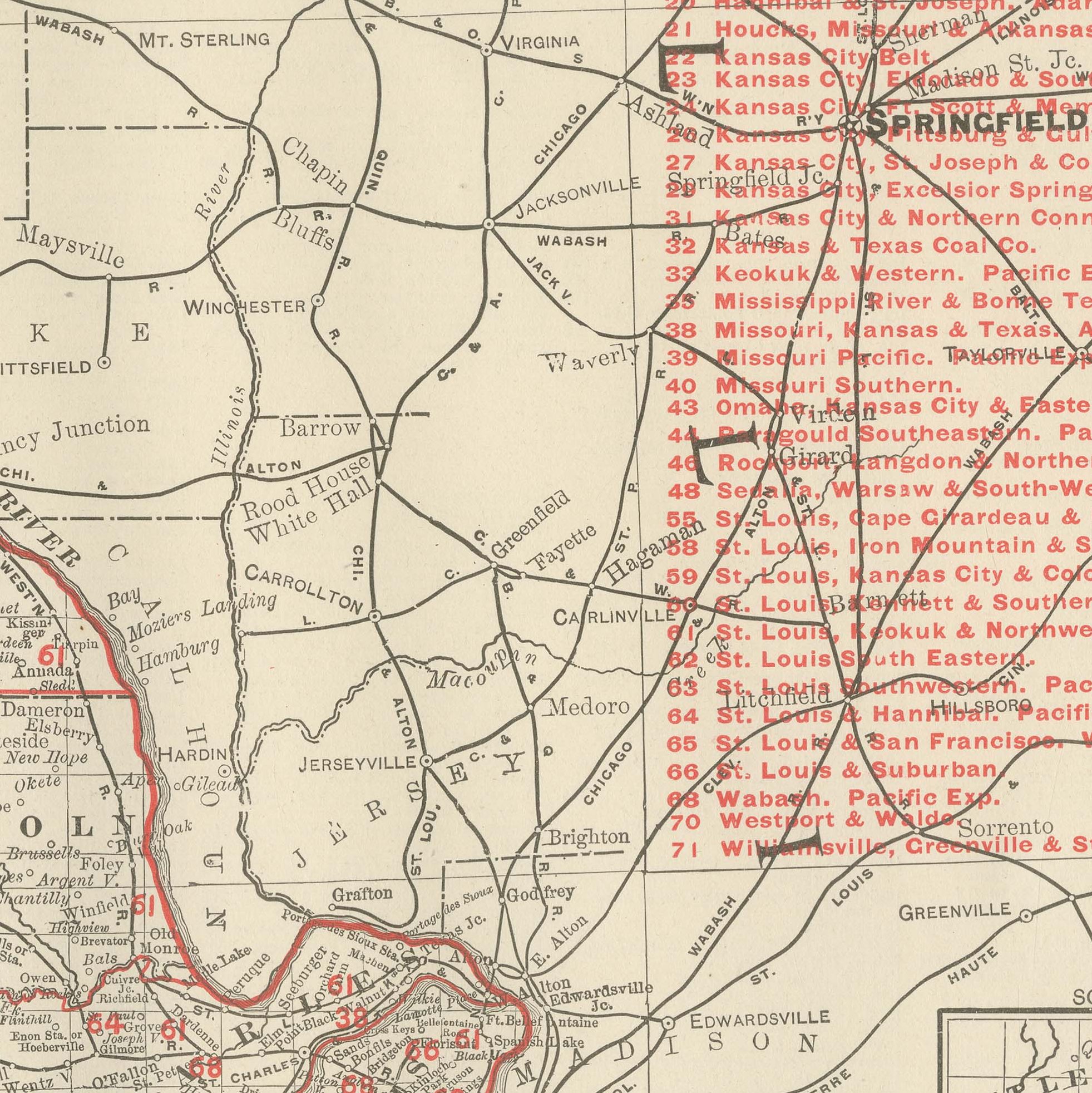
A red-numbered railroad legend at upper right lists over sixty companies, among them the Atchison, the Chicago, Burlington and Quincy, the Hannibal and Saint Joseph, the Missouri, Kansas and Texas, the Missouri Pacific and the Wabash, with Saint Louis at the eastern edge and Kansas City at the western anchoring the two densest concentrations of lines. The Missouri River is traced across the full width of the state, its old steamboat towns, Boonville, Jefferson City, the capital, and Glasgow, still marked prominently even though railroads had by this date largely superseded river traffic for freight.
The Ozark Plateau counties in the south-centre, rendered in comparatively dense hachured relief, show noticeably sparser settlement than the fertile river-bottom counties along the Missouri and Mississippi. Scale is given as 16 statute miles to the inch, and a note at the foot directs the reader to the adjoining Iowa, Illinois, Kentucky, Tennessee, Arkansas, Indian Territory, Kansas and Nebraska maps.
Rand McNally, one of the leading map publishers in the United States by the 1890s, was known for railroad maps revised from issue to issue. This antique map of Missouri is an original 1899 colour lithograph, with the outline printed in black and the colours printed over it. Issued folded through the centre, it is suitable for framing. The colour is printed rather than applied by hand.
The sheet is in good condition for its age, with light, even age toning, minor handling wear to the sheet edges and the original central fold as issued. Please review the images for further condition details.
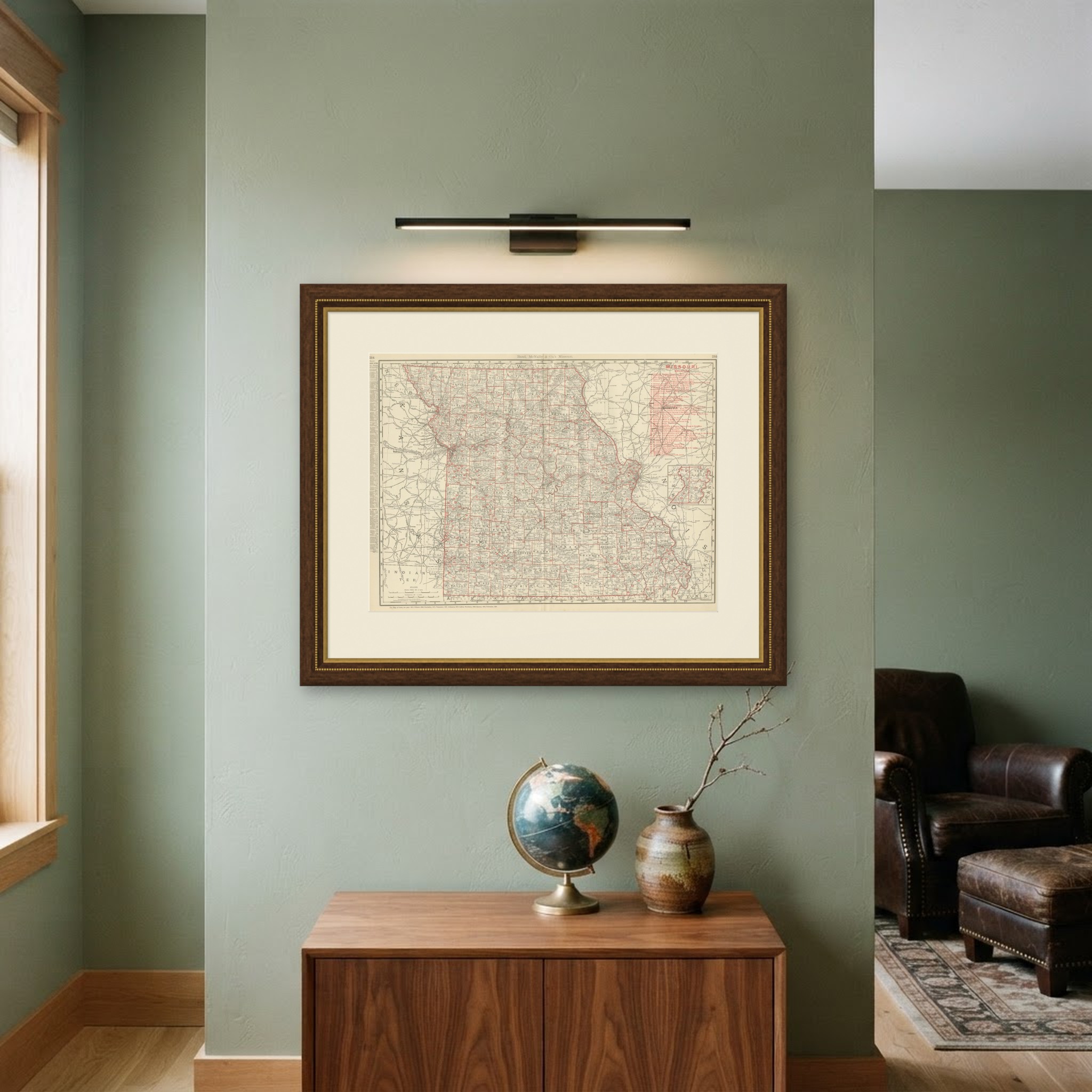
This is an original antique map, not a modern reproduction. This item is sold unframed. Any framed or interior images are shown for presentation and inspiration only, unless the listing explicitly states that the item is sold framed.