About this sheet
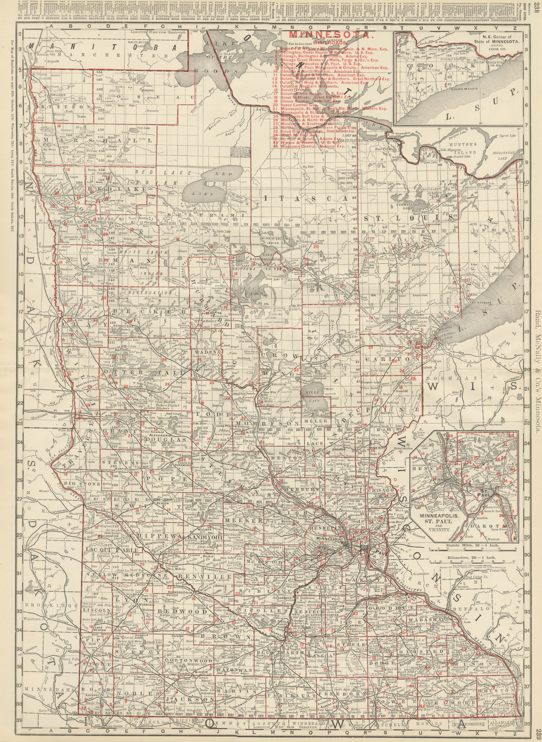
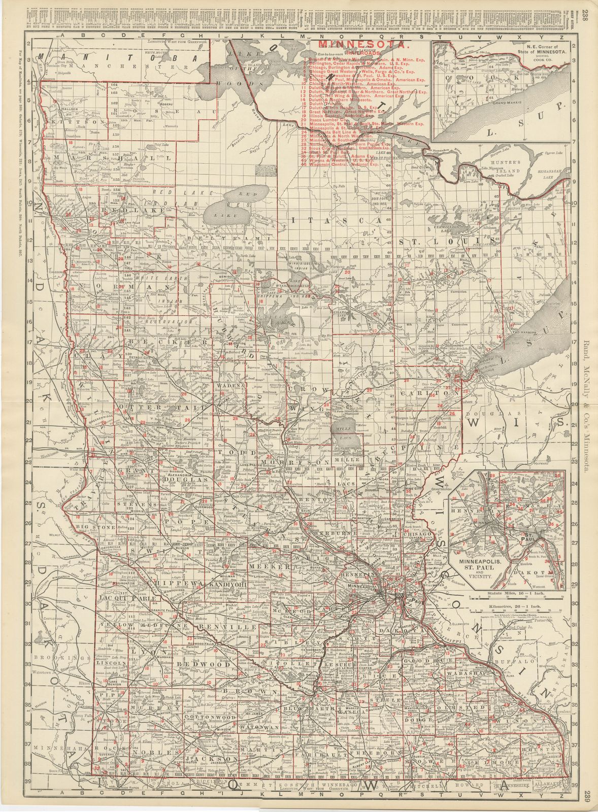
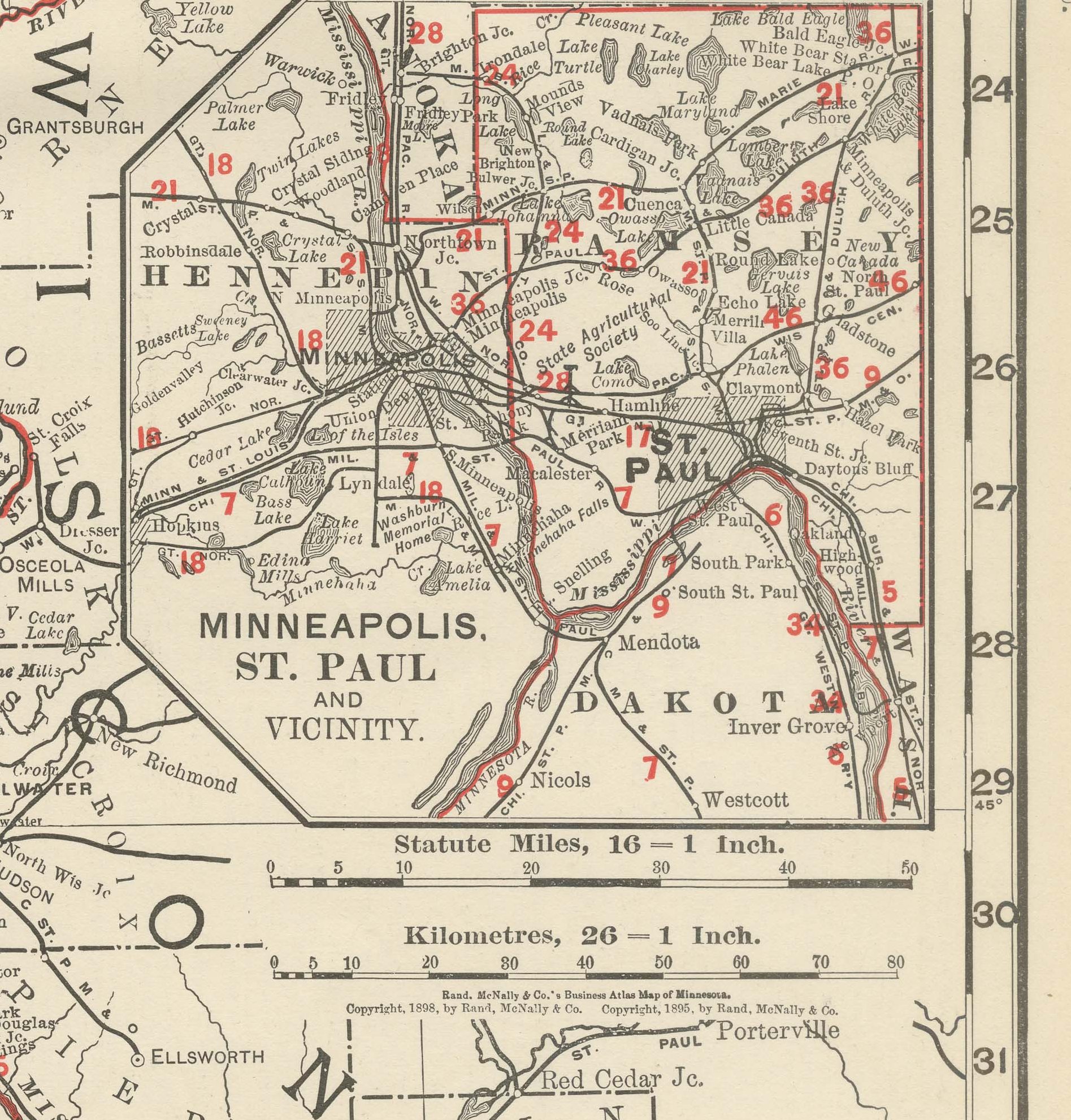
Rand McNally printed this antique map of Minnesota across pages 238 and 239 of its 1899 indexed atlas, a double-page county map from the Manitoba and Ontario boundary down to the Iowa line, with an inset of Minneapolis and Saint Paul.
The western arm of Lake Superior cuts into the northeastern corner of the sheet and the Red River of the North traces the western boundary against Dakota. The Red Lake and White Earth Indian Reservations are named and outlined across the north-central counties, still shown as reservation land rather than opened to settlement, and the Lake of the Woods and Rainy Lake country in the far north is left comparatively bare of the section lines that fill the settled counties further south. The dense grid of section lines across the southern third of the state, where the farming counties were fully surveyed and settled by the 1890s, contrasts sharply with the emptier north.
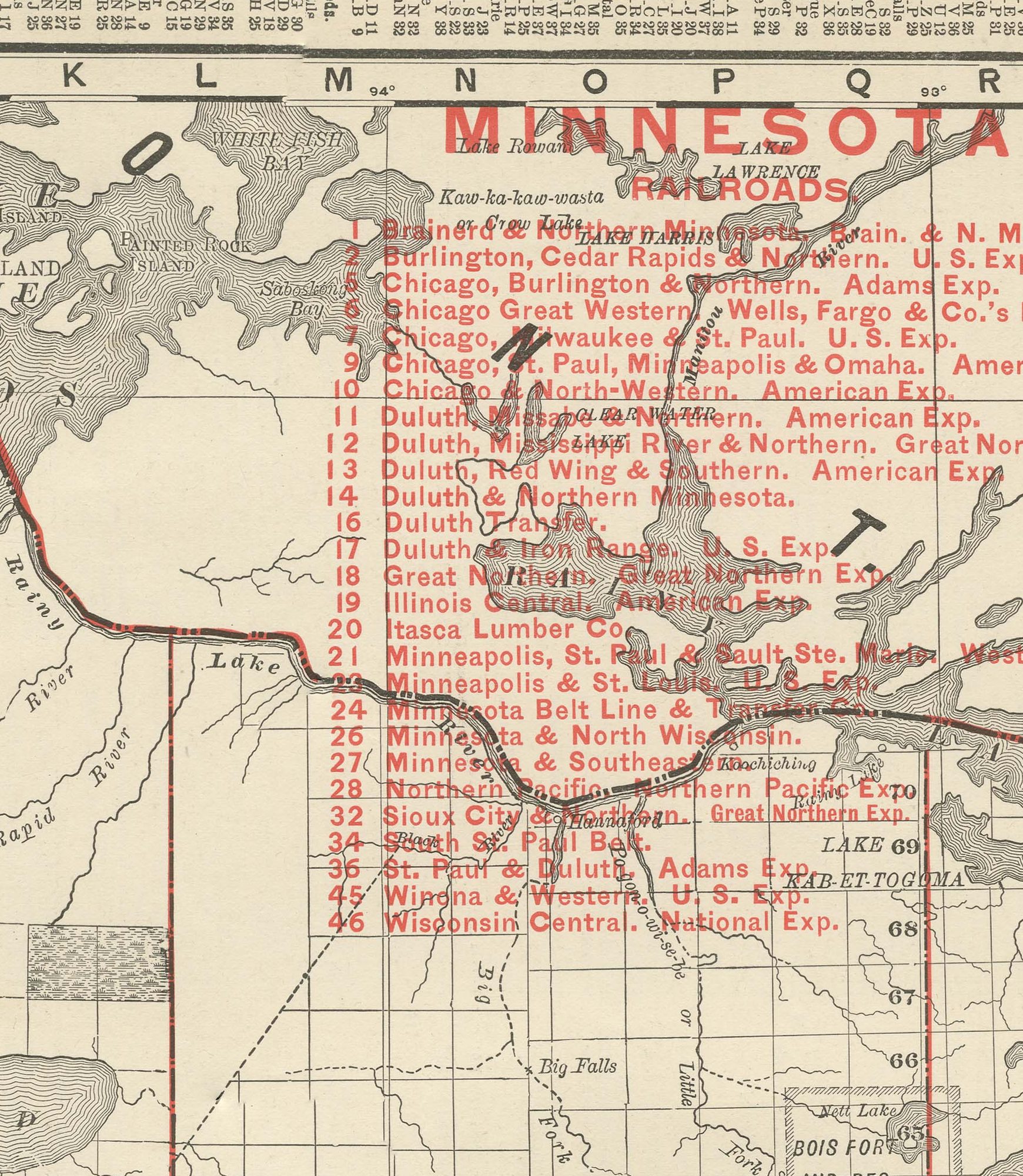
A numbered key to forty-six railroad companies fills the upper right corner beside a small inset enlarging the northeastern corner around Cook County and Grand Marais on Lake Superior, and a second inset in the lower right shows Minneapolis, Saint Paul and their vicinity at a larger scale with its own railroad references. County boundaries are printed in red over pale tints. Scale bars in statute miles and kilometers sit in the lower right corner of the main map, and notes in the margins direct the reader to the adjoining plates for the Dakotas, Iowa and Wisconsin.
Behind the sheet stands one of the great names of American map publishing. William Rand opened a printing business in Chicago in the 1850s, Andrew McNally joined him, and by the 1890s Rand McNally was one of the leading map publishers in the United States, with a reputation built on railroad and commercial maps kept current from issue to issue.
This antique map of Minnesota was produced as a color lithograph, the outline printed in black with the colors printed over it. It is an original 1899 atlas sheet, issued folded through the center as a double-page map, and suitable for framing. The color is printed rather than applied by hand.
The sheet is in good condition for its age, with light age toning, a softly creased lower right corner, minor edge wear and the original central fold as issued. Please review the images for further condition details.
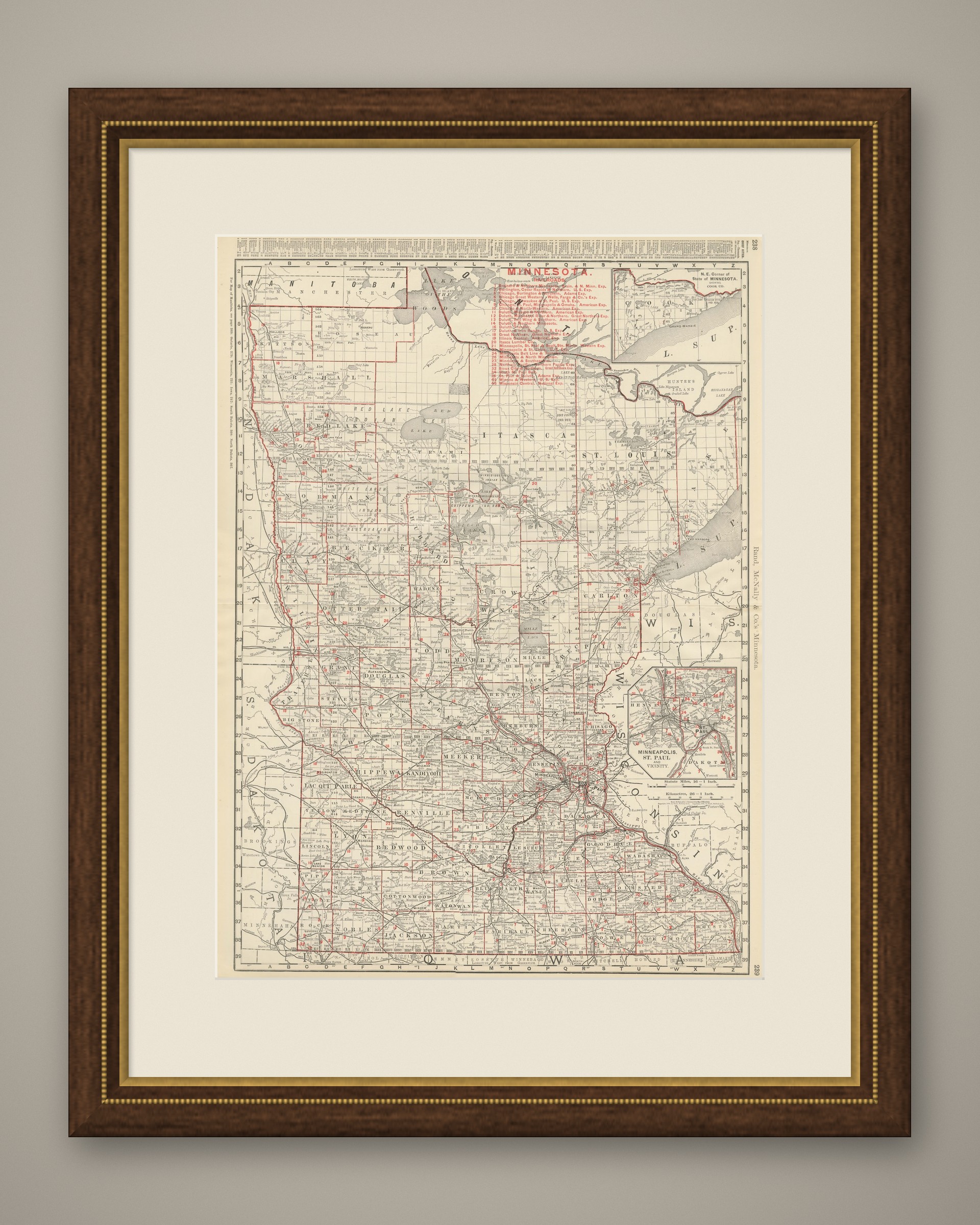
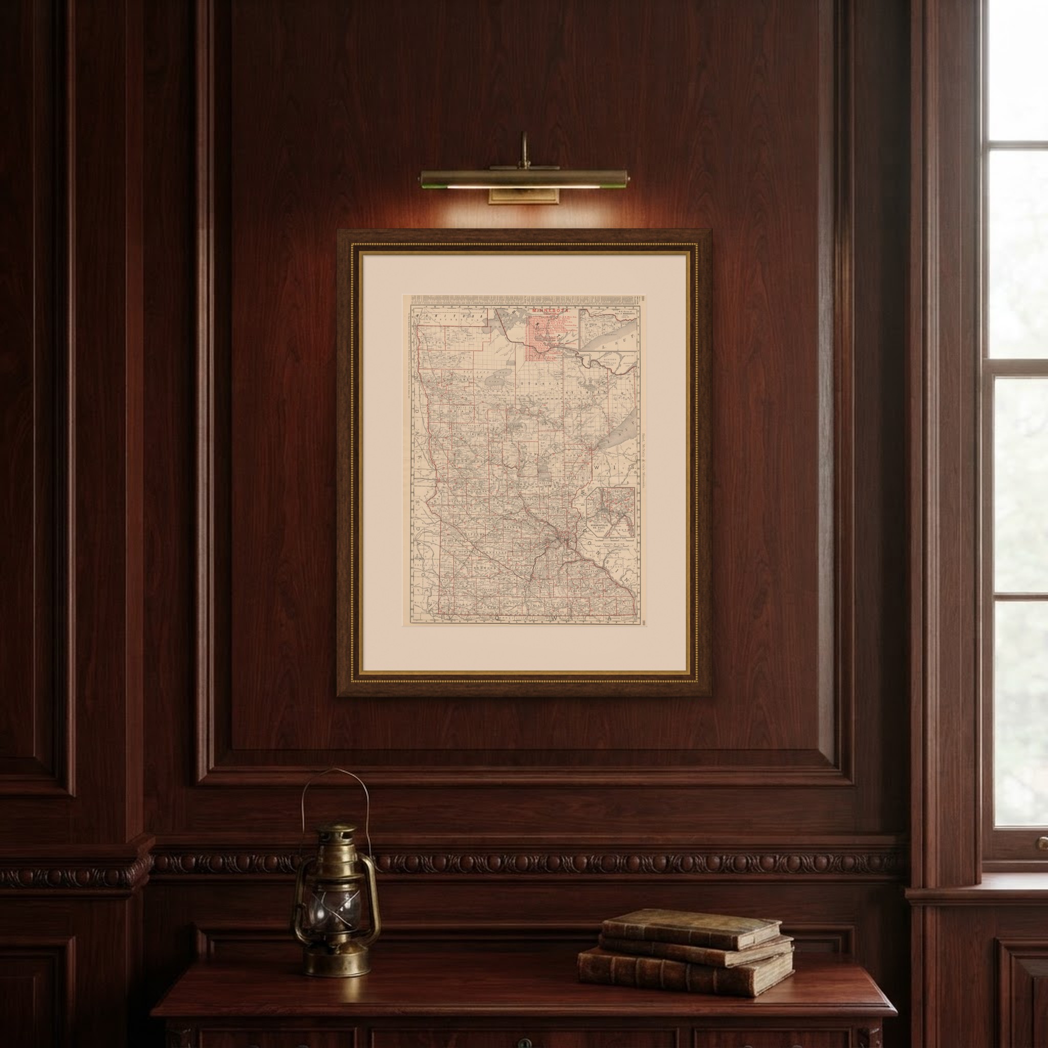
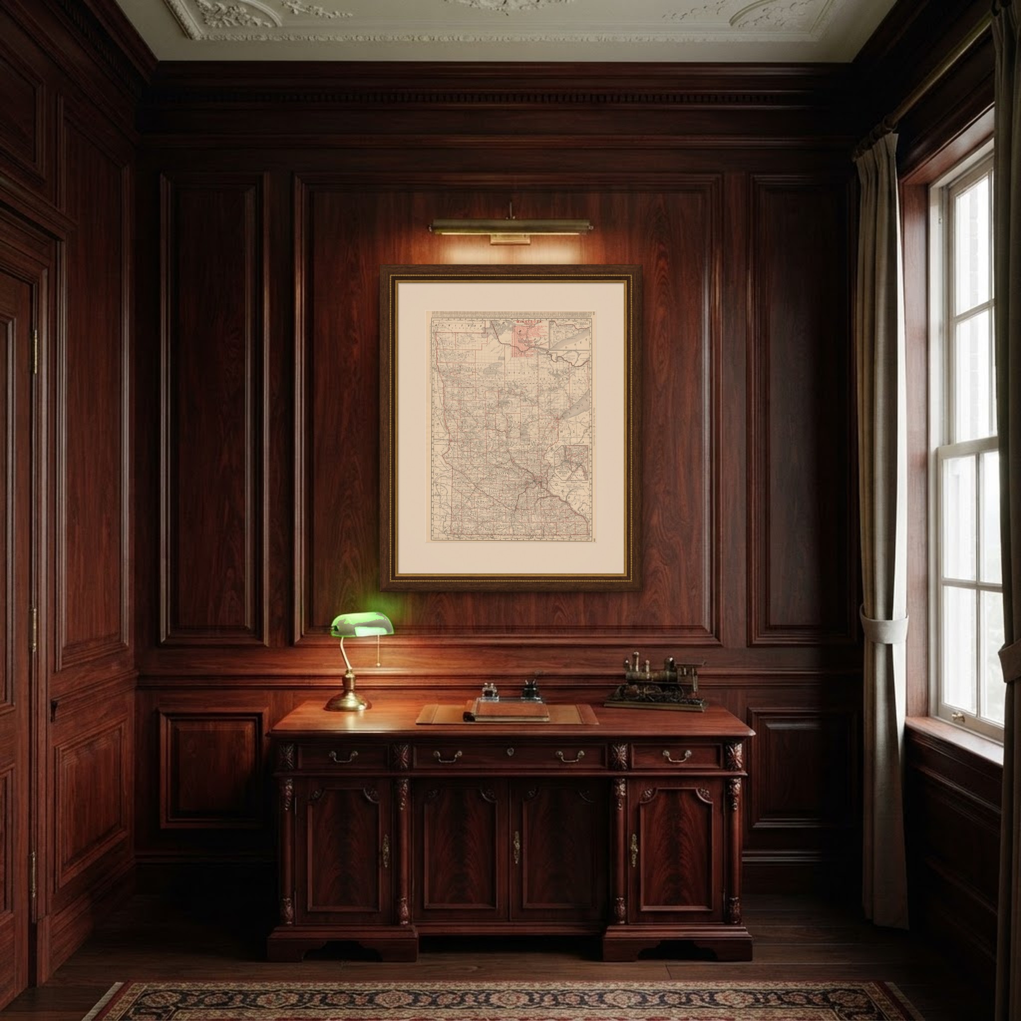
This is an original antique map, not a modern reproduction. This item is sold unframed. Any framed or interior images are shown for presentation and inspiration only, unless the listing explicitly states that the item is sold framed.